free to be able to rate and comment on reports (as well as access 1:25000 mapping).
We'd passed through Morvern a couple of times in the past - speeding from the Fishnish - Lochaline ferry to the Corran ferry on the way from Mull to somewhere else. I'd been left with the impression of an empty if undramatic landscape. So this year, with Jim's kayak expedition having fallen through it looked a good place to combine his sea kayaking with my hillwalking on unconsidered peaks and some joint mountain biking. I booked 5 nights in the bunkhouse studio at Ardtornish and an Airbnb for 5 nights in Lochaline. Ten nights in the Lochaline area could have been a bit of a risk of running out of things to do if the weather was bad but we set off with a kayak on the roof, two bikes on the rear carrier and fingers crossed.
In researching walks I came across this photo on Geograph and thought I must do this route.
Despite searching the forums on Walkhighlands I couldn't find any reports on this walk. This was a puzzle to me as both in this photo and on the map Ben Iadain looked to be about the most interesting hill in the western part of Morvern. It then dawned on me that it wasn't on any
list. Ben na h-Uamha 3km away and 106 metres lower was. But 6km east of Ben Iadain is Beinn nam Beathrach, 11 metres higher and in comparison a sprawling mass but between the 2 there is never a drop of more than 120 metres. So Beinn nam Beathrach gets the visitors and is on the list but Ben Iadain is left to the likes of me who have no hope of completing any lists.
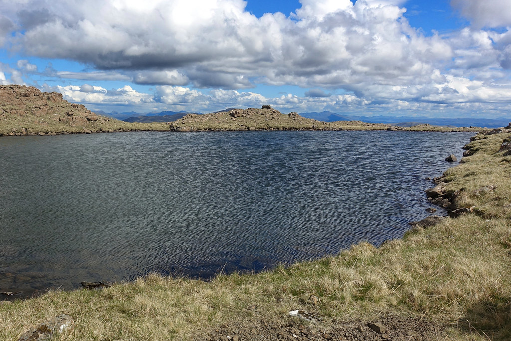
Anyway, on to the walk. Having launched Jim in his kayak on Loch Teacuis I went back to the car to gear up and set off. We'd arranged to meet back at the launch point at 4pm so I had five and a half hours. There was a clear track on the map up to the bottom of the NW ridge of Ben Iadain so it looked pretty straightforward and if time permitted I'd take in Ben na h-Uamha as well. It didn't work out quite like that, as my route below shows!
As soon as I got back to the car there was a buzzing and a hefty insect landed on my back. I flailed around, knocked it off and hadn't been bitten so continued to tog up and went to lock the car. No key in my pocket, or on the car seat , or anywhere to be found. I must have dropped it when swatting the cleg. I searched for about 15 minutes, gradually getting more annoyed until eventually I found it on the rear parcel shelf, locked up and stomped off. It was now 11am.
 BenIadain1
 by
Peter Lynn, on Flickr
Across to Loch Teacius and Ben Hiant
The first job was to find the start of the track up the hill. A quick check of the map confirmed I needed to skirt the shore, through a bit of woodland and the track would be there on the right. I was quite happy now, few midges and as I emerged from the woodland there was a track. I turned up it but immediately was in the drive of a new house.

. Maybe they had diverted around the house so I walked on a bit and found a faint track leading up. I checked my GPS - yes this was the start of the track so off I went.
 BenIadain2
 by
Peter Lynn, on Flickr
Kinlochteacius and the ramparts of Sithean na Raplaich from the start of the track
 BenIadain3
 by
Peter Lynn, on Flickr
Not surfaced but a well used ATV track
After a while the main track swung right but I followed a subsidiary track to the left as I could see my hill with its bands of crags up ahead and I was heading for the left hand ridge.
 BenIadain4
 by
Peter Lynn, on Flickr
'Ben Iadain' ahead
After a while the track headed off into the corrie to the left and looked to peter out. Presumably this was as far as the shooting parties were brought. I was happy up here with not a flicker of doubt in my mind about the way ahead.
 BenIadain5
 by
Peter Lynn, on Flickr
This deer is thinking 'does he know where he's going?'
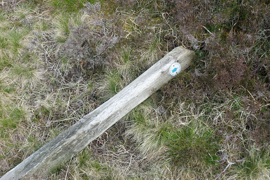
Before the track disappeared I spotted a footpath crossing the slope towards the bealach where I would start up the ridge. I even found a couple of fallen Scottish Rights of Way Society marker posts which was further reassurance.
 BenIadain6
 by
Peter Lynn, on Flickr
Marker post
 BenIadain7
 by
Peter Lynn, on Flickr
Faint path across the hill and the multiple crag lines
When I reached the bealach I headed off to a slight rise on the left for a quick sit and look at the view. The view was magnificent. The entrance to the sound of Mull is on the left with Coll behind, Ardnamurchan with Ben Hiant, Loch Sunart with Carna in front of Ben Hiant. Rum was just poking up above the hills with glimpses of Muck and Canna. Further round were the Rhos Beinn group, the hills at the head of Loch Shiel and Ben Resipole.
 BenIadain8
 by
Peter Lynn, on Flickr
Panorama from the bealach (click for larger picture)
Now to climb the NW ridge
 BenIadain9
 by
Peter Lynn, on Flickr
Ascent ridge
I skirted round to the left of the crags to find the 'grassy nose'.
 BenIadain10
 by
Peter Lynn, on Flickr
Is this the 'nose'?
At this point I thought 'this isn't as good as the Geograph photo'. But up I went thinking what might be wrong. I thought they must have labelled the photo wrong and it wasn't of my Ben Iadain but some other hill. It was a bit disappointing. But when I got to the top of this wide grassy slope the views were even better.
 BenIadain11
 by
Peter Lynn, on Flickr
Across to Ben More on Mull
 BenIadain12
 by
Peter Lynn, on Flickr
Rum, Canna, Muck and the hills of Sout Uist in the distance.
 BenIadain13
 by
Peter Lynn, on Flickr
Northeast to Beinn Resipol, Sgurr Domhnuill, Ben Nevis and Garbh Bheinn
I then turned to look at the route ahead and at long last the penny dropped.
 BenIadain14
 by
Peter Lynn, on Flickr
Ben Iadain 4km away to the East
I wasn't on Ben Iadain at all. I'd set off up the completely wrong track and was actually on Beinn Ghormaig. My route had borne no resemblance to what the map said I should have been seeing on the ground. True Beinn Ghormaig bore a family resemblance to Ben Iadain with crags and a NW ridge but I'd been travelling due north instead of nearly due East and the track had turned into a footpath on the ground but not the map. I couldn't believe I'd made such and error and in perfect conditions too. All because a cleg caused me to lose my car key and knocked me out of my zone of concentration. So not much chance of including Ben na h-Uamha now. Another hill missing from my meagre list. Now I needed to contour round the intervening Beinn Ithearian to get to the bottom of the real NW ridge.
 BenIadain15
 by
Peter Lynn, on Flickr
Looking back to Beinn Ghormaig after crossing this double deer fence.
It took the best part of an hour to cross to the track I should have been on and reach the bealach at the base of my ridge.
 BenIadain16
 by
Peter Lynn, on Flickr
Getting closer, this looks more like it!
 BenIadain17
 by
Peter Lynn, on Flickr
At the base of the ridge. Steep but most of the crags look passable..
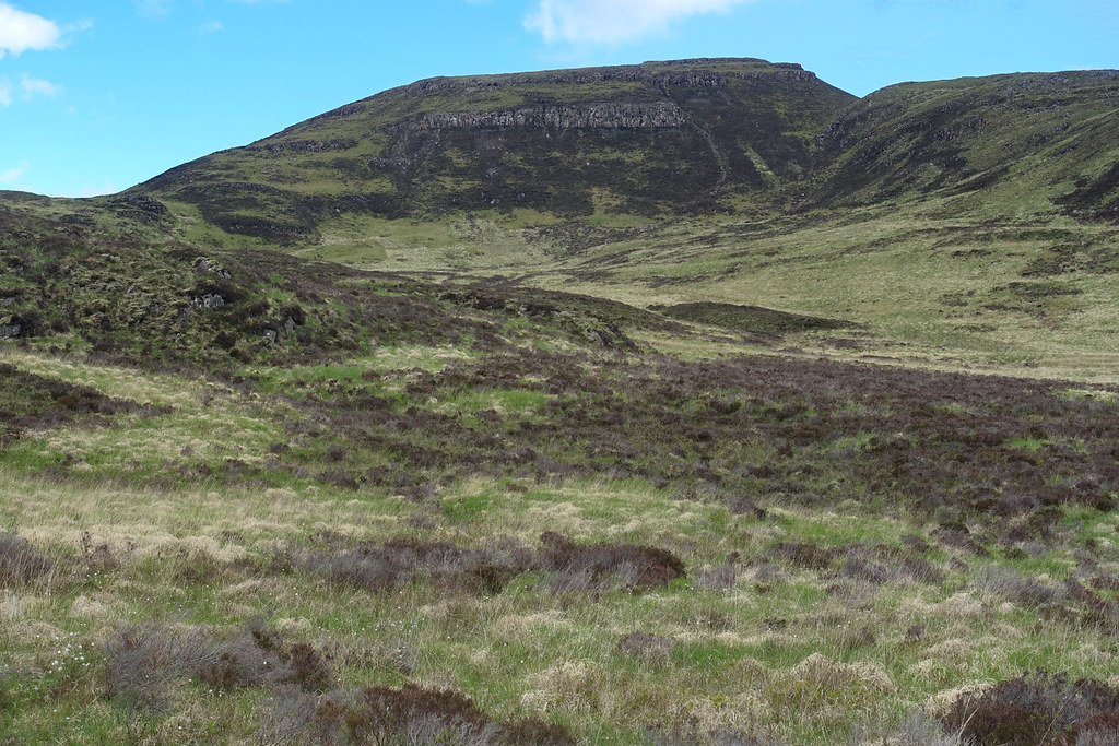
The geology here is complex with cretaceous mudstones and sandstones underlying the Mull basaltic lava flows. So these crags are probably either mud on sandstones. The mainly grassy ridge between the two lines of crags seems a bit odd.
 BenIadain18
 by
Peter Lynn, on Flickr
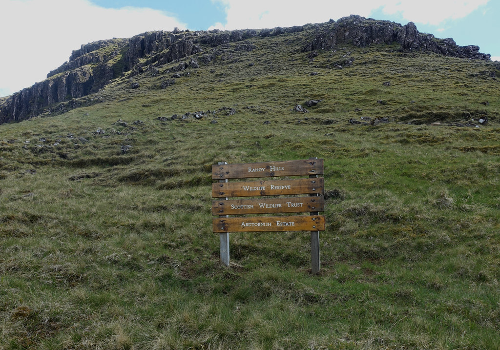
Sign for the Rahoy Hills Nature Reserve at the base of the ridge.
 BenIadain19
 by
Peter Lynn, on Flickr
As soon as I started up the ridge there was a good view of Skye behind
Between the bands of crags there was steep grass slopes but the crags themselves never stretched across the ridge.
 BenIadain20
 by
Peter Lynn, on Flickr
Another crag line
 BenIadain21
 by
Peter Lynn, on Flickr
Two more lines of crags but easy going on the ridge
 BenIadain22
 by
Peter Lynn, on Flickr
The last line of crags but bypassable on the left
Once above the last line of crags the summit plateau was pretty flat and the views better than ever
 BenIadain23
 by
Peter Lynn, on Flickr
Beyond Ardnamurchan to Rum, Skye and South Uist
 BenIadain24
 by
Peter Lynn, on Flickr
The Small Isles and South Uist zoomed
 BenIadain25
 by
Peter Lynn, on Flickr
Skye
 BenIadain26
 by
Peter Lynn, on Flickr
Summit cairn
 BenIadain27
 by
Peter Lynn, on Flickr
The Vanessa Trig point and view to the Glamadale Horseshoe hills, Bidean nam Bian round to Ben Starav, Beinn Mheadhoin then Ben Cruachan. Ben Vane and Beinn an Lochain also visible to the left of the trig point
 BenIadain28
 by
Peter Lynn, on Flickr
View NE
To get off the hill there are very few easily found options without crags other than the way I came up. I opted to head southeast to the far end of the hill (which would have been the route to Ben na h-Uamha though I no longer had enough time). This took me past a summit lochan.
 BenIadain29
 by
Peter Lynn, on Flickr
Summit Lochan looking East
I found a way down to the east of the crags
 BenIadain30
 by
Peter Lynn, on Flickr
Looking back to the way I'd come down
This took me to some old sheilings where I disturbed a few deer.
 BenIadain31
 by
Peter Lynn, on Flickr
Old sheilings and the crags at the southern end of Ben Iadain
At this point I stopped for a quick drink, looked down at my feet and couldn't believe that I had only one gaiter on.

! How on earth had a lost a gaiter on the hill - it takes a huge effort to get them off? Anyway I was now way behind schedule and I had 4km of what looked pretty rough ground along the northern slopes of Ben na h-Uamha to get back to the car.
 BenIadain32
 by
Peter Lynn, on Flickr
Looking back to Ben Iadain from the trudge back.
It was hard going while trying to hurry and the final straw was a very steep descent through tussock grass to the road. The good news was that my missing gaiter was in the footwell of the car, I'd forgot to put it on - another casualty of Cleg mania. I can't believe I walked for 4 hours without noticing I only had half a pair on!
Anyway I was 3/4 hour late - but no sign of Jim and his kayak and no mobile signal here. I took the kayak trolley down to the Loch to wait. After another hour, getting a bit worried I decided to head back to the car for a biscuit and as I climbed the track towards the car I turned and saw through my monocular him coming round the corner at the far end of the Loch. A bit of a relief, I was wondering how long I would leave it before reporting him missing. We have frequent discussions as to which is more foolhardy to do alone - sea kayaking or hill walking. We both think the other is mad.
An interesting first day in Morvern.
