free to be able to rate and comment on reports (as well as access 1:25000 mapping).
Tuesday 16th April 2019 – Scalpay & Huishnish
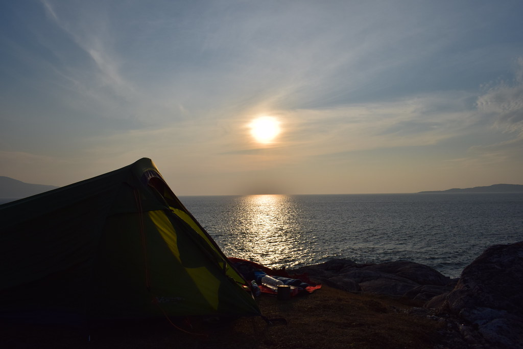
Tuesday arrived – Harris day! An early start saw me packing the tent away quickly and driving the few miles down the coast to Uig where I jumped on the ferry.

Finally time to relax I was able to grab a shower and then a cup of tea and bacon roll. I finally felt human again and was ready to explore a new island

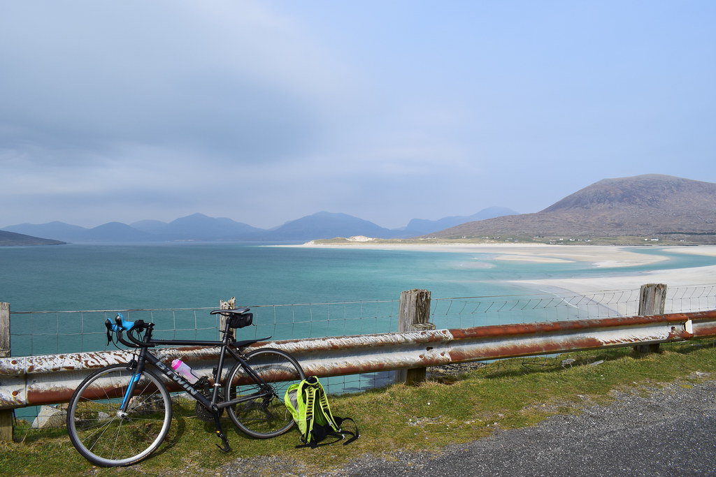
Coming into Tarbert I could see the Scalpay bridge and thought I’d go and have a look at that first!

First on the ferry had one advantage – first off! And before long I was driving around a new island with no idea where to go

I negotiated my way around the one-way system and out of Tarbert. Scalpay was an easy drive and I was across the bridge and driving in circles around wee roads.
Eilein Glas Lighthouse
5.57km
212m ascent
1 hour 30 minutes
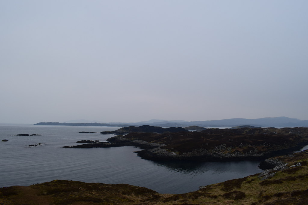
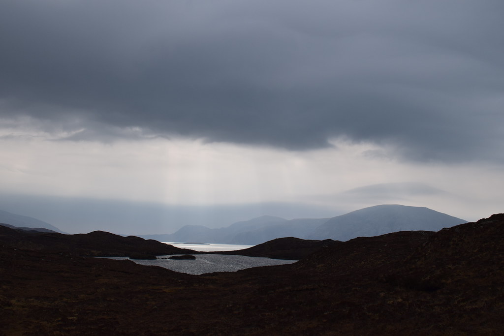
I saw a signpost to Eilein Glas – a lighthouse – and thought I would have a wander there before the weather got worse in the evening. It was an easy track the whole way there and soon I could see the lighthouse ahead


Looking back to the North Harris hills

Beautiful clear water – almost certainly full of midges in a few months!

Eilein Glas lighthouse

There were a few other folk out but it was mercifully quiet and I was able to explore a bit – finding a big horn!

Along the coast

The quick way out!


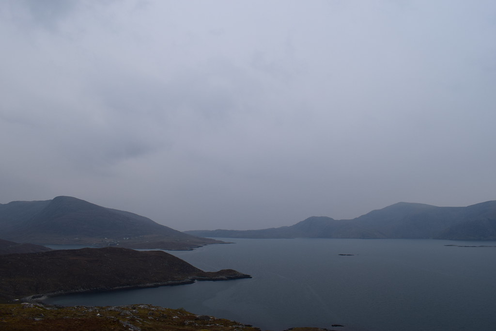
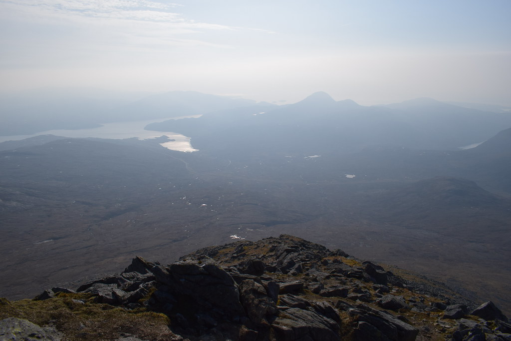
Although there was the odd spot of rain in the air it didn’t come to anything and the visibility improved enough to see the north Harris hills (Todun on the left)

An out and back walk has never been my style so I continued around the coast – there was a path of sorts, and some pink markers which I sort of followed.
View back to the lighthouse

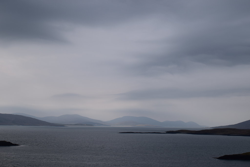
Seals

Towards Tarbert

There were a few boggy sections but nothing troubling and after battering through some undergrowth I was back at the car, pleased to have explored a little and stretched my legs in my new surroundings!
I drove back along the road to Tarbert and then headed for the tiny single track road down to Huishnish – Malcy’s annotated map described this is a “good camp spot” so off I went.
The road itself was incredible – all sorts of twists and turns – it would be a fantastic cycle when I’m able to do such things again

Looking back to Sgaoth Aird

Loch an Siar
Even on a bad day Harris is stunning!
Definitely need to climb these hills – Uisgneabhal Mor

And then I saw it – my first glimpse of Harris beaches!


I had a wee wander to the beach and then discovered that in just one particular spot I had 4G signal so gave my Mum a ring – she was a bit surprised to hear where I was. To be honest, I could hardly believe it either
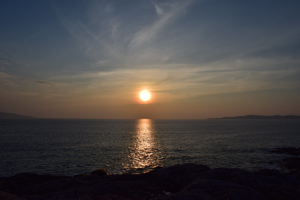
The rain was starting so I figured I should get the tent up before it got worse – it was to be a wet evening! Tent up and dinner on, I spent some time chilling at the tent before utilising a break in the rain to go for a wander – looking north to Scarp

And out to sea

Then the rain started again – I retreated to the tent for some more of my book and an early night – tomorrow the weather was set to be back to it’s incredible self!
---------------------------------------------------------------------------------------------------------------------------------
Wednesday 17th April 2019
I had a good night and a long sleep and awoke feeling refreshed in the morning. The rain had stopped and the wind had died down – the wind turbines nearby were spinning at a slower and less scary rate
After breakfast I left the tent to dry and went for a wander


I refilled all my water bottles – there were caravan hook-ups as well as toilets and coin-operated showers here. Sadly I had no coins on me so I would have to smell! The tent was largely dry so I chucked everything in the car and set about “that road” again
Beinn Luskentyre

Towards Luskentyre itself – not far but miles by road!
Moody skies towards Tarbert


Those hills in the distance look amazing!

Blockage in the road

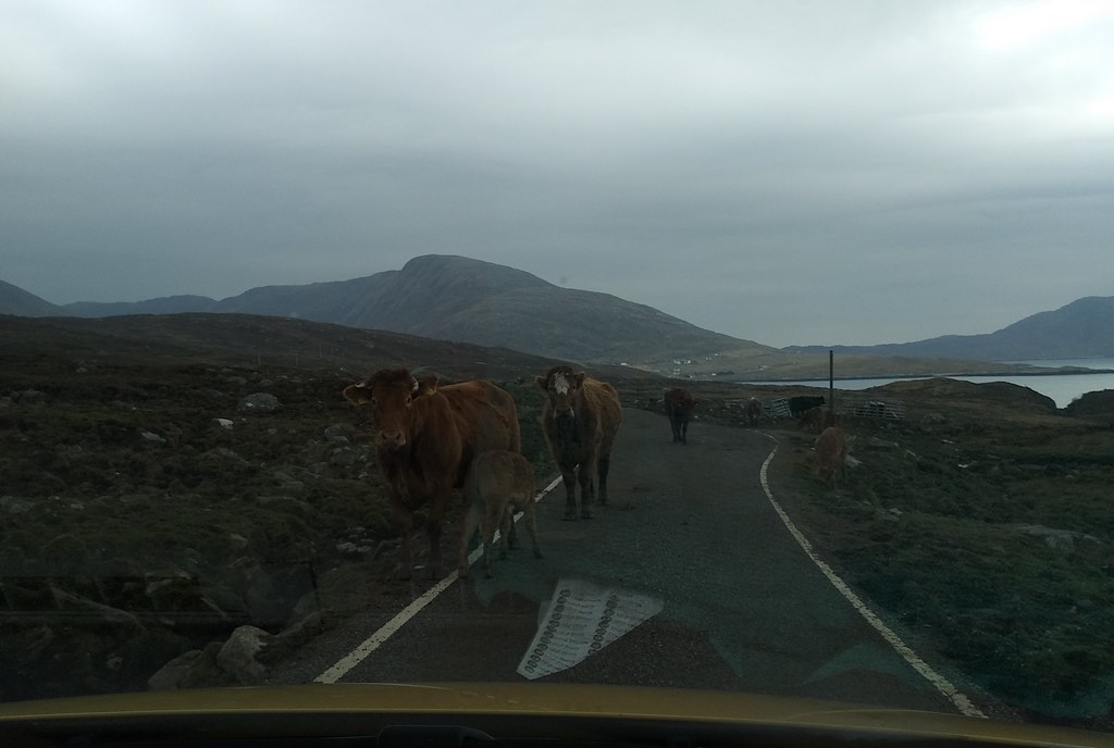
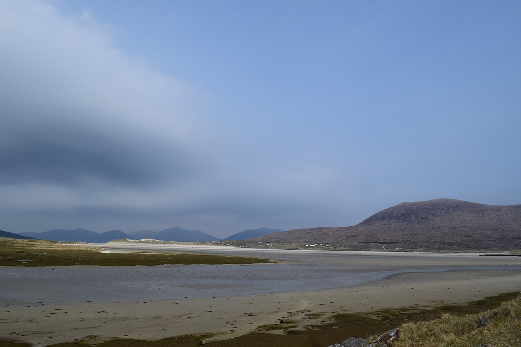
Safely back on the main road, I passed through Tarbert and headed for some more beaches – marked on Malcy’s map as “good beaches”
As I drove down the hill and turned off the single track road to Luskentyre I caught a glimpse of the most enormous beach
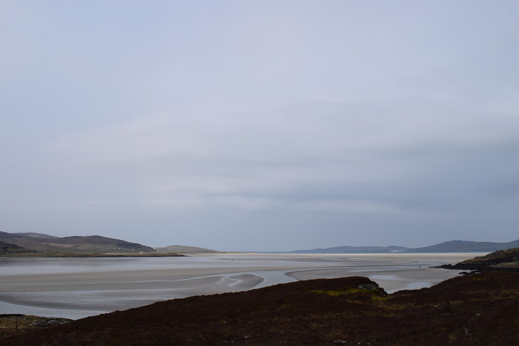
The views got better and better as I drove further down the road until I reached the car park at the end, grabbed my camera and ran down the path….just wow, what a view – Luskentyre itself

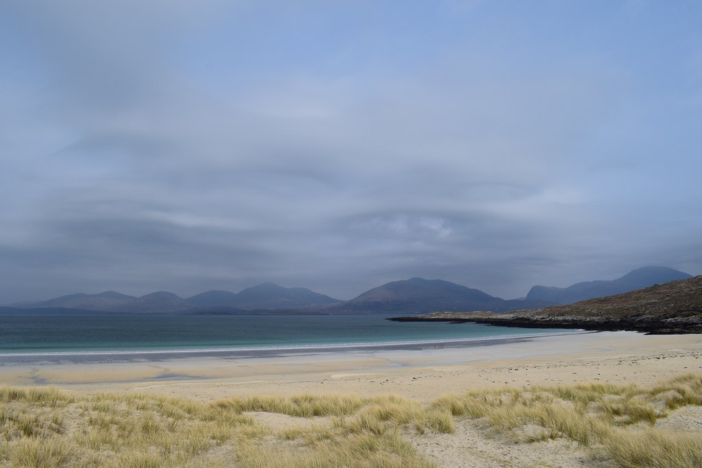
I slipped and slid my way down the sand bank and went for a wander – it was just so big, and so empty! There were people around but the sheer scale of it meant that they all dispersed really quickly and I was soon alone again
The North Harris hills – Clisham on the right

Beinn Luskentyre, or Beinn More


After a good old wander I headed back to the car – I didn’t really feel like doing any driving so decided to explore by bike. I headed back along the road I’d just driven – much easier to stop and take photos on the bike!
That’s Ceapabhal in the distance….watch this space

An Coileach and pals

On the main road I continued along – looking back towards Luskentyre
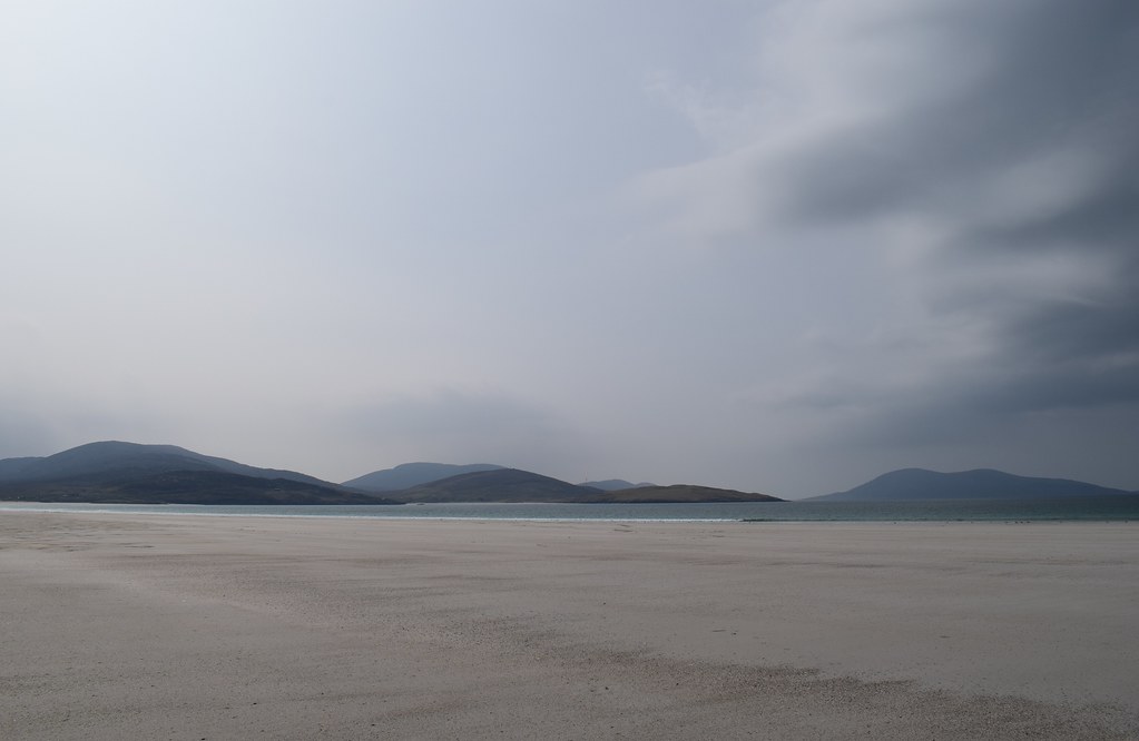
I was looking for a view I’d seen a photo of, and just past Seilebost I think I got it!

After soaking up the sights I cycled back to the car (a total of an easy 18km) with the wind behind me, filled up my water bottles again and headed back along that single track road, yet again! I was heading south and stopped to enjoy a few more beaches along the way


-----------------------------------------------------------------------------------------------------------------------------------
Caepabhal summit camp – I felt that this merited it’s own report –
HERE8)
-----------------------------------------------------------------------------------------------------------------------------------
Thursday 18th April 2019 – Greabhal
5.02km
371m ascent
1 hour 45 minutes
After the excitement of the previous night had worn off, I grabbed myself some food from the car – a very welcome breakfast and lunch combo
I thought I’d pop up Greabhal, the hill just across the road. I had thought to park somewhere between the two peaks but there wasn’t anywhere and I ended up at the parking area just below the summit.
I couldn’t be bothered with carrying stuff so set off with my phone, car keys and camera, just about covering the essentials right….
I jumped the gate and set off down a track which led me across a burn and towards the wee lochan with a dam. The view back towards Ceapabhal and Northton were pretty awesome already

I had thought there was something of a path, but it turned out to be more my imagination as I picked my way through steep grass and heather. It was a brutal pathless climb and I was glad of the opportunity to stop to look at the views towards the Uists
Northton, Ceapabhal and a steep climb

After a few sections where the rock was loose and I was clinging onto heather to pull myself up (not really a recommended route this one
) I was onto something of a ridge with a short pull up to the summit. Although there was a trig point marked here on the map there was no evidence of one.
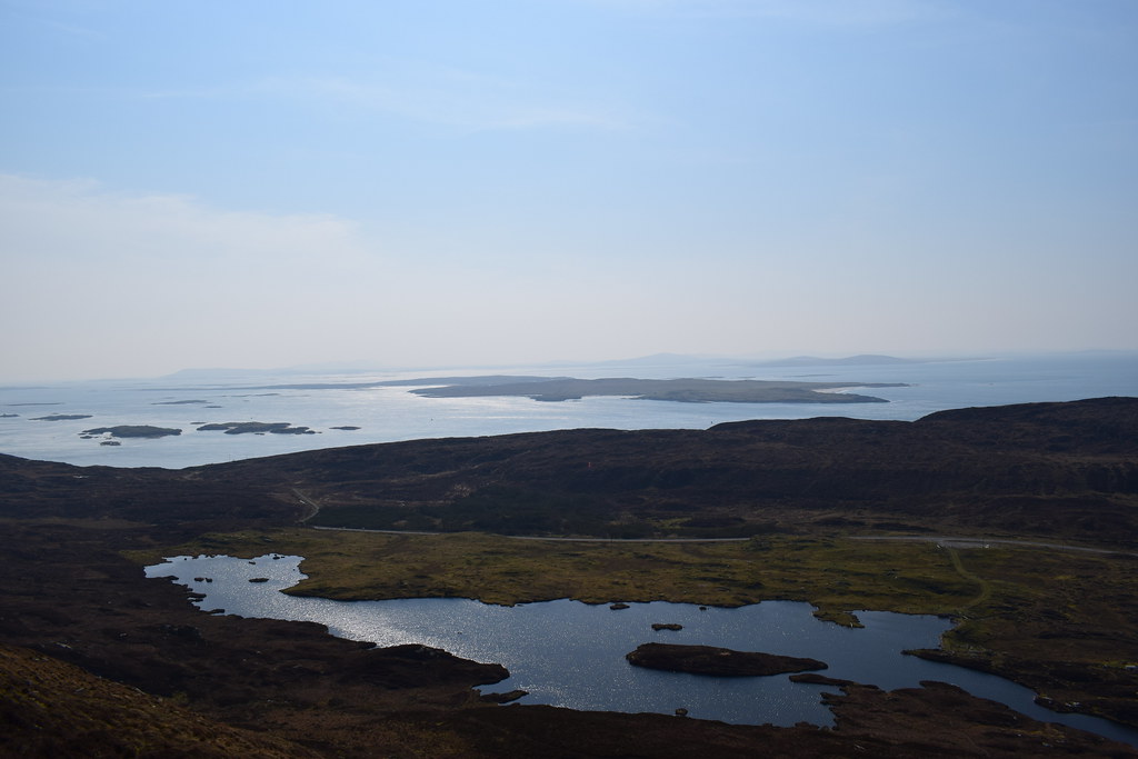
The views to Leverburgh and Roinebhal were incredible

A bit hazy but this is Ensay and Killegray
Leverburgh and Roinebhal

This is Bleabhal
The other summit of Greabhal and Ceapabhal behind

Greabhal summit

I wanted to visit the other summit to headed back down along the ridge – there were a couple of slightly damp sections here but nothing much to worry about as it was so dry. Definite evidence of bog for wetter periods though
Looking back towards the summit

Over a wee lump and up the final climb onto the other summit – the white thing that had caught my eye from the summit was a wee memorial

North to the beaches

Ceapabhal

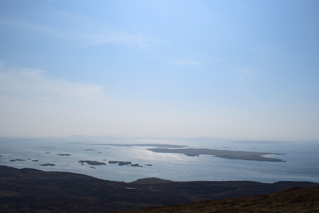
Towards the Uists

A bird

From here I headed back towards the bealach before dropping downwards in a wee diagonal towards the car – this was a heathery nightmare and I wouldn’t recommend it to anyone
Back at the car I removed a mountain of heather from my socks before heading back along the road in search of a camp spot.
Tent up, I decided it was a lovely evening for a cycle before settling in to enjoy the sunset. The wind was against me all the way and it felt like a tough 6km to Scarista Bheag!

I dumped the bike and went for a wander to see some massive dunes that felt almost big enough to be a Marilyn in itself

Ceapabhal from Scarista

Scarista

It was an easy cycle back with the wind behind me (only 12km by the time I got back) and definitely time to get some dinner on

I settled down comfortably on the picnic rug with a blanket, a book and a cup of tea. Bliss
The sunset was awesome and I was joined by a dude and a couple of kids until they got antsy and ran off


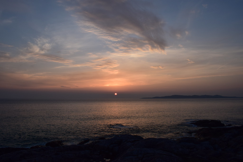


I sat outside for ages enjoying the beautiful evening before I started to get cold and headed for bed – I was after an early start the next morning as it was my last day on Harris!
--------------------------------------------------------------------------------------------------------------------------------------
Friday 19th April 2019 – Clisham
6.39km
837m ascent
3 hours 10 minutes
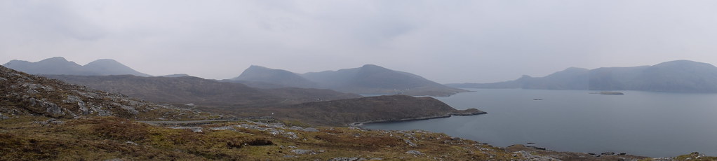
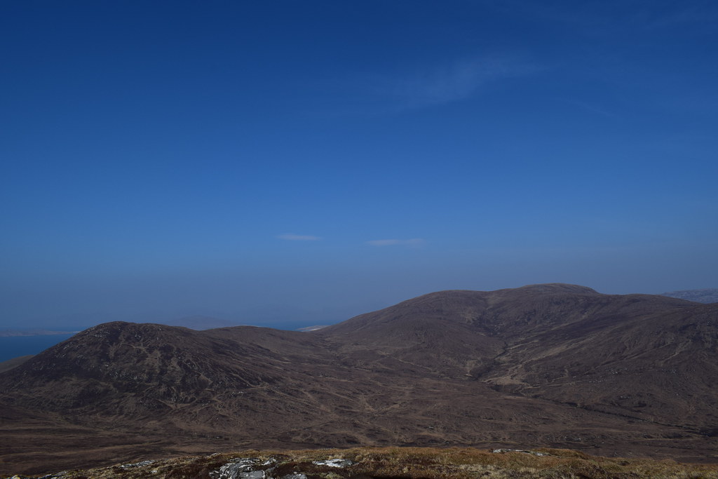
Up early as I didn’t want to be rushing for the ferry, I packed up the tent and drove up the road, through Tarbert and a few miles further towards the car park for Clisham. As the weather was so perfect it seemed a shame not to get to the highest point of the Outer Hebrides, even though I would definitely return to do the horseshoe properly another time


I parked up – it felt pretty windy already – looking ahead to Clisham

As I climbed higher the wind picked up but looking back at the photos all I can think it that the early morning light was incredible as I looked back to Loch….and Todun
It was pretty dry underfoot and the path was relatively clear for longer than I’d expected. The wind though….
It steepened again and became more rocky – I lost the path then picked it up again. I imagine that in wetter conditions it would be pretty boggy but no such problems today! I met a guy on his way down who told me I wasn’t far from the top.
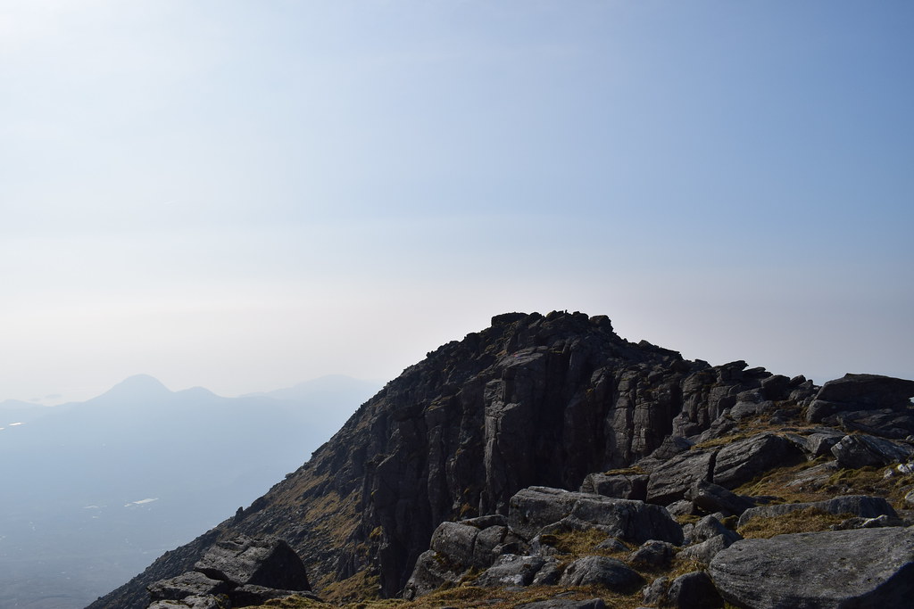
The ridge narrowed became a bit easier to walk underfoot (but the wind was even stronger now!)
I tried to keep to the crest because it was the most interesting bit – after a short distance I could see the giant shelter on the summit ahead

It was so brutally windy that I carried straight on and dropped down to the top of a wee crag where there was a bit more shelter. It gave me great views back to the summit and along the crags
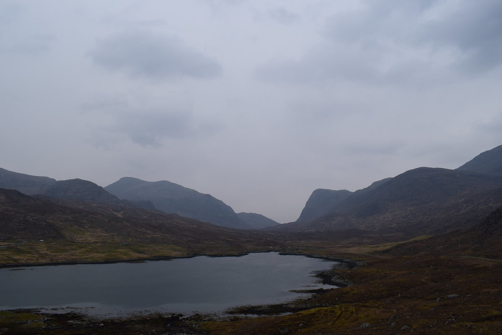
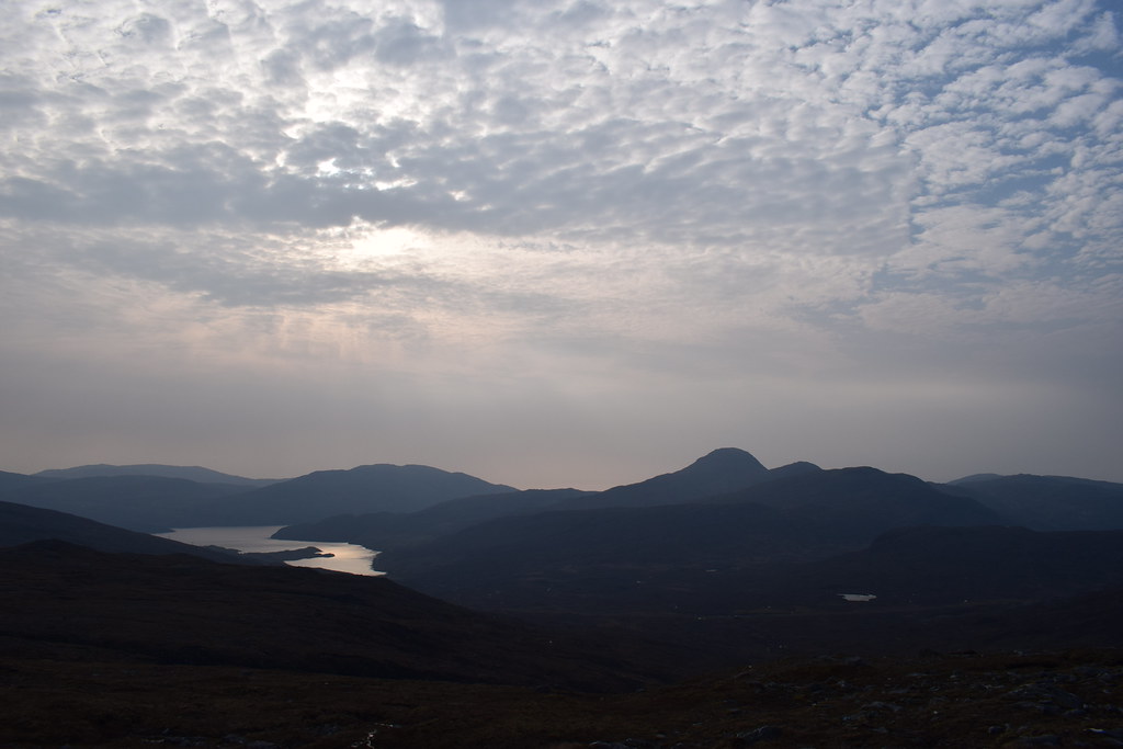
Loch Langabhat

The Clisham horseshoe – it was tempting but I figured it was one for another day

Crazy wind summit selfie

I sat and enjoyed the views for ages because it was absolutely stunning and I had plenty of time – the early start had been worth it! Eventually I figured I ought to head down – back onto the super blowy ridge…but it did give me views of a hazy Sgaoth Aird, definitely a mountain for another time


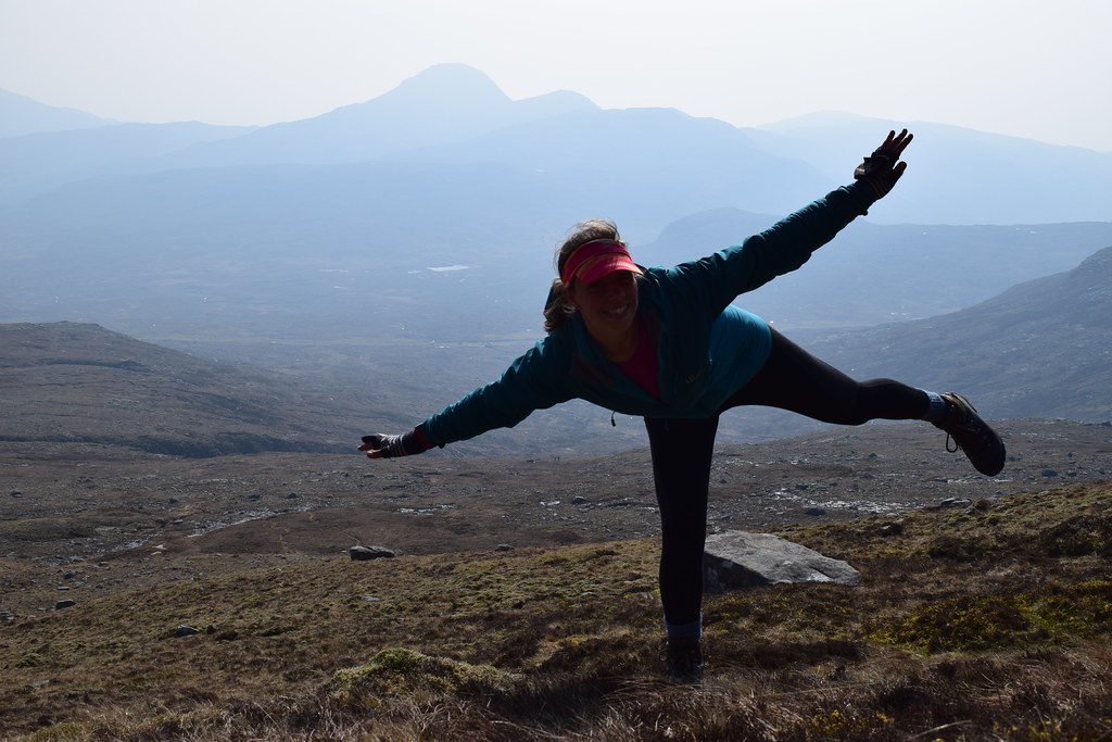
Stopped for a wee pose once I was out of the worst of the wind
As I was dropping down I started to meet a lot more folk heading up – clearly the early start was a better idea than I’d thought
Back at the car I found a spot to chill for a bit before heading for the ferry. My time on Harris was at an end, but I would definitely be back. Sooner rather than later!
Back on the mainland I drove to Kintail, popped the tent up and slept like a log before the next day’s adventures!

