free to be able to rate and comment on reports (as well as access 1:25000 mapping).
Beinn Mhic Chasgaig plus – a round of Coire Odhar
Beinn Mhic Chasgaig was the goal on what for me has become an annual trip to Glen Etive. I had planned on doing much more than just BMC if conditions permitted. In a spell of uncertain weather, the MWIS forecast was iffy for the morning and improving into the afternoon. The Met Office’s summit forecast for nearby Stob na Broige was better, despite its overcast morning prediction.
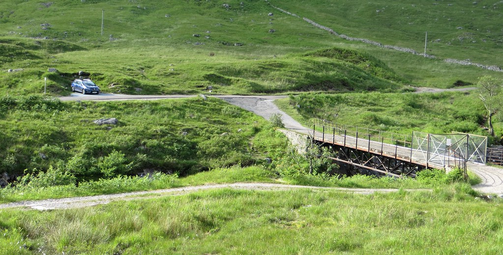
And so it was that we delayed our departure and set off from the little parking area opposite the Alltchaorunn bridge at 11.25am. It should have been 11.00am but the A82 traffic was heavy on Loch Lomondside – surprising for a Friday morning.
Parked up.

The bridge
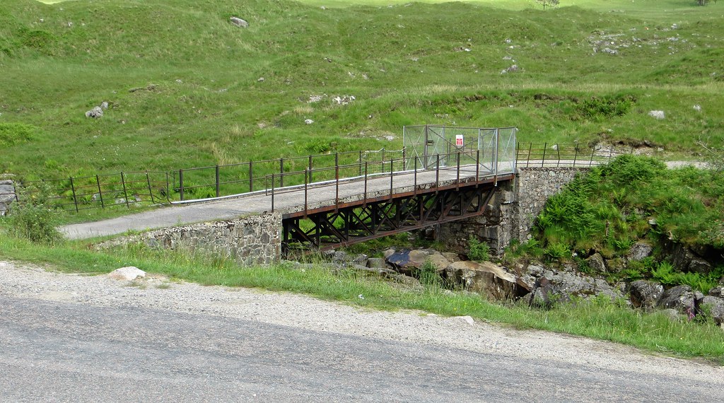
As we crossed the bridge with memories of last year’s trip over Beinn Ceitlein’s NE ridge, confidence in the weather was not high despite Stob na Broige, our weather marker, being completely clear. Indeed the first hour was spent ‘waterproofs on, waterproofs off’ as the intermittent showers mocked us.
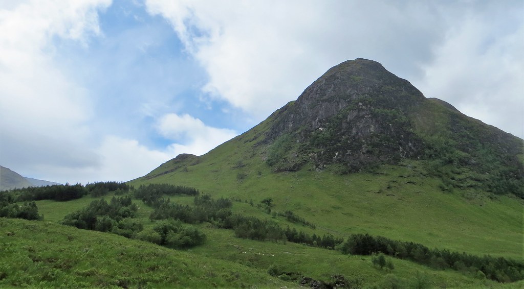
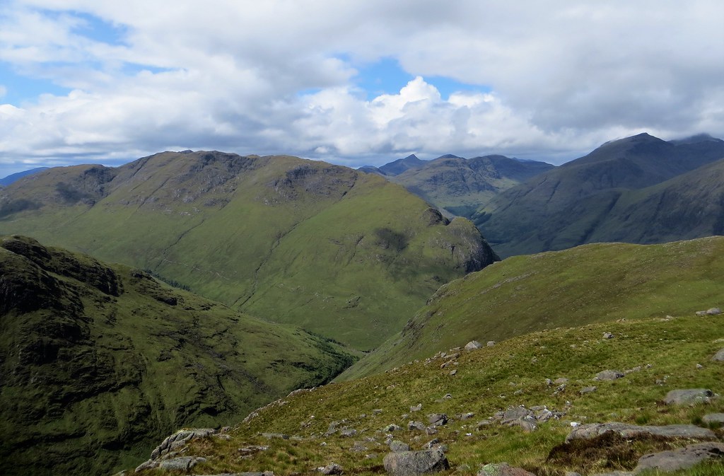
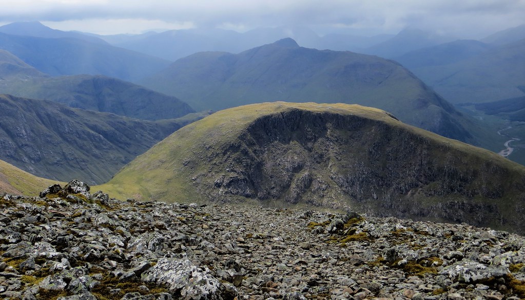
Setting off. The unusual cluster of trees on the lower slopes of Beinn Mhic Chasgaig are very clear.

Across the bridge the waymarked track was relatively dry as we headed across the river in the direction of Alltchaorunn – some building renovation appeared to be taking place. All the way to the grand stile over the boggy bit of track, An Grianan dominated the view. Its 449 metres look enormous and intimidating from this point and it always amazes me how small this steep little hill becomes when viewed from its loftier neighbours.
No excuses for not finding the correct way.

The big stile. Rain not far away.

An Grianan
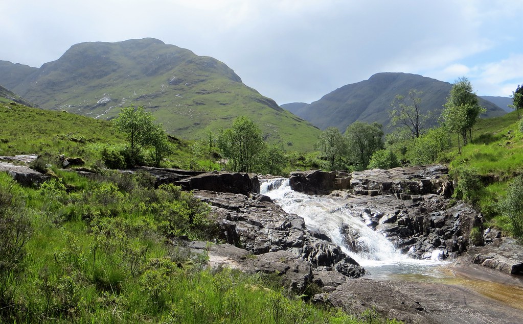
Swinging south at Alltchaorunn along the east bank of the Allt a Chaorrain the good track passes a number of impressive waterfalls and pools. I am sure that a day on the hills could easily end here in warm, sunny conditions as the crystal clear waters looked so inviting.

An Grianan always provides an impressive backdrop.

Looking back to Stob na Broige


Around the confluence with the Allt Coire Ghiubhasan the track swings ESE and immediately the infamous little bridge is encountered. It is an appalling state of repair – one plank over the gorge, with one wire hanging loosely on its rhs. One of the supporting stanchions was lying in the stream under the bridge. The other was detached and dangling from the ‘security’ wire. The bridge was crossed gingerly (and perhaps foolishly) with a little bit of hand juggling to negotiate the detached and dangling support. A short distance downstream it is easy to boulder hop across the stream, although I am pretty sure it would be impossible to stay dry if the river was in spate. Having crossed the plank bridge once I don’t think I would do it again!


After that early obstacle was overcome, it was a pleasant stroll along a decent narrow track above the Allt Coire Ghiubhasan in its deep gorge. A gate is passed through and soon the path drops down to stream level at the foot of a large gash in the hillside. With all the faffing about at the bridge it had taken us an hour to get to this point.
Along the track towards the gate (photo taken on the way back).

Looking back along the track to An Grianan and the start of the Beinn Ceitlein ridge.

On the track

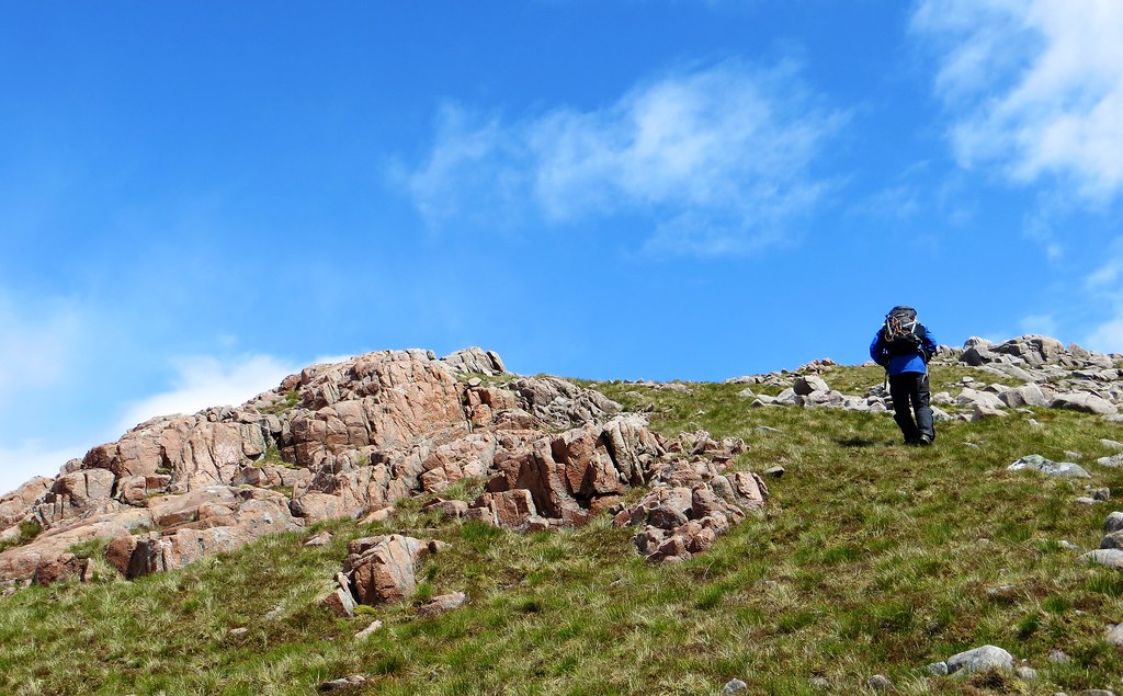
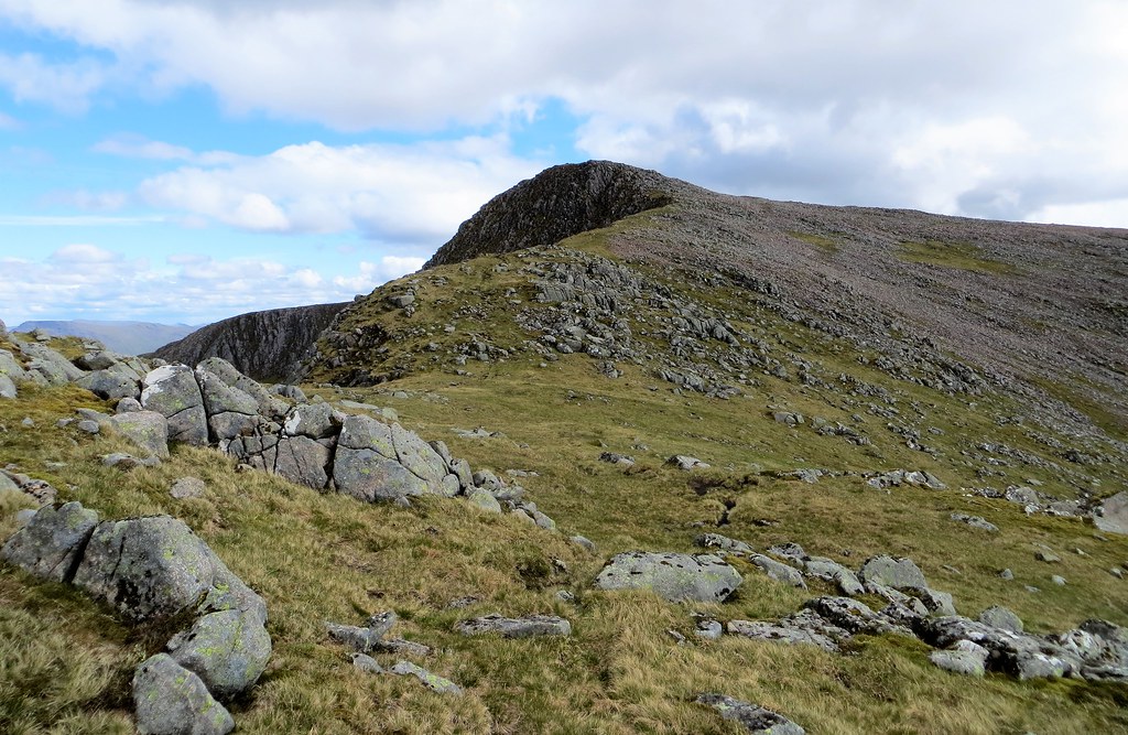
The ascent of the lower slopes of Beinn Mhic Chasgaig looked steep (and they were in our waterproofs) but they were nowhere near as steep as the alternative ascent route further up the valley. The way up on the rhs of the gash is definitely the best way up BMC. The views were now really beginning to open up.
The ascent route to the right of the gash.

Looking back to An Grianan from where the stream was forded.

Easily fording the stream.

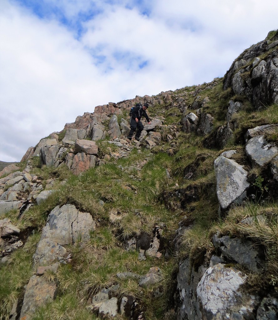
We swung up, always favouring the rhs, up steep grass, then through several rock bands. The views quickly opened up as height was quickly gained.
Across to Aonach Mor.
Beinn Ceitlein with the peak of Stob Dubh just visible.
Rain showers were making the slabs of Aonach Mor glisten.

Although the air was clear and gave excellent visibility, the rain wasn’t doing us any favours and we opted for an early lunch stop in the shelter of some crags. That did the trick as the rain shower passed, although we kept our waterproofs on as the slopes gradually eased as we got closer to BMC’s broad summit area. We observed that it was ‘chilly for June’ – not quite loafing about weather so we wandered about the top rather than chill out at the cairn. The summit area of BMC is an outstanding viewpoint as the photos show.
In the rock bands for an early lunch stop.

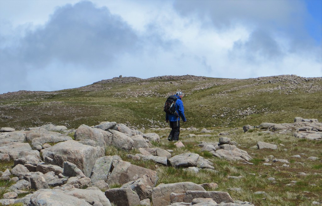
The gradient eventually eases. Blue sky as the last rain shower passes through.

Approaching the summit plateau.
Quartzite vein.

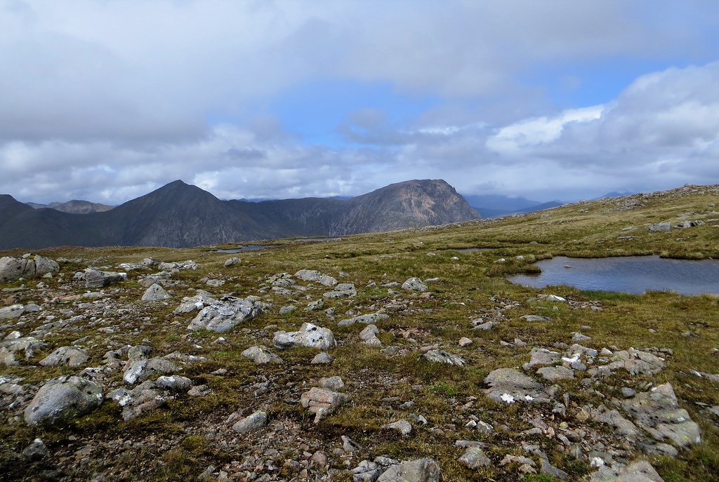
The summit plateau is studded with lochans. Looking over towards Buachaille Etive Mor
Summit cairn

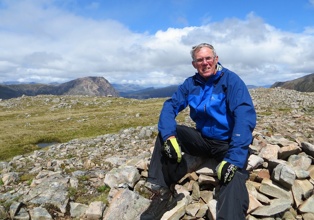
Summit shot
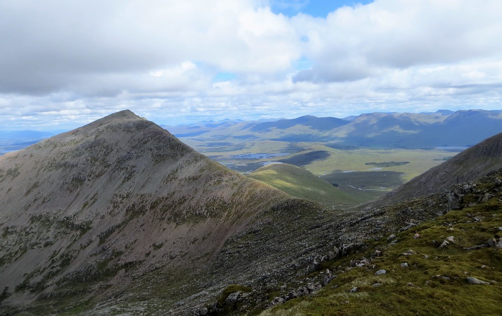
Over to Clach Leachad and Stob Ghabhar. The ridge in the middle ground was our descent route at the end of the day.

With the air quality being so good, it felt like Buachaille Etive Mor was within touching distance

My favourite outlook was from a point to the north of the summit cairn (probably the true summit) looking NE down Fionn Ghleann. Beinn a’ Chrulaiste in the centre of the shot between Stob Dearg and Sron na Creise.

With the weather improving and more and more blue filling the sky (as forecast) we decided to head for Creise. A steepish descent saw us drop over 150m SE to a bealach before the long climb up easy slopes to the Creise-Clach Leathad ridge.
Beginning the decent to the bealach.
In the bealach before the pull up to Creise on the lhs.

View of Stob Dearg and Beinn a’ Chrulaiste from the bealach.

Beinn Mhic Chasgaig from the ascent to Creise’s ridge.


As the weather improved the distant Ben Nevis emerged from its cloud cover. View from the ascent.

Rather than head straight up to the ridge we contoured across to our left to gain the ridge about half a kilometre S of Creise’s summit. Two walkers were approaching it ahead of us, the only people we met all day. After all the ups and downs it was nice to get a bit of flatter walking with superb 360 degree views. Although the summit of Creise is merely a bump on the ridge, the views it affords are superb. I couldn’t help noticing just how far away the now little peak of An Grianan was. We were a long way from the car!
Cutting across to Creise.

Nice to walk on a gentler gradient.

The summit of Creise in sight. Walkers on the summit.

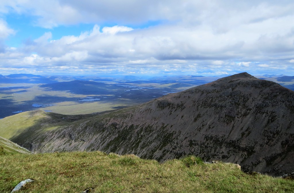
Over to Meall a’ Bhuiridh
Looking along the ridge to Sron na Creise and the hills so clear beyond. Ben Alder catches the eye and we spent a while identifying many of the tops. Visibility could hardly have been better.

Across the wastes of Rannoch Moor
Ben Dorain and pals!

Back along the ridge to Clach Leachad. Stob Ghabhar in the background. Lingering snow patches. Not surprising given the temperatures.

Beinn Mhic Chasgaig from Creise.
Buachaille Etive Mor looking good. Bidean nam Bian seemed to have a constant struggle with cloud.

Summit shot

We had our second lunch stop at Creise and although the sky to the west was looking a bit threatening we decided to carry on to our 3rd top of the day, Clach Leathad. It was a smart decision as the weather just got better and better, and about 30 minutes after we left Creise, we eventually took our waterproofs off, despite worrying that we were tempting fate and ushering in the rain. After the short pull up to the summit of Clach Leathad we relaxed in the sunshine, quite a contrast from the chilly top of BMC a few hours earlier. Clach Leathad was probably my favourite viewpoint of the day, although I am probably biased because of the warm and pleasant conditions we enjoyed there!
Heading for Clach Leathad

Almost at Clach Leachad. Looking back across the bealach linking the ridge to Meall a’ Bhuiridh. The Easains dominate the horizon behind the revamped Kingshouse.

Approaching the large summit cairn.

Across Rannoch Moor towards Schiehallion

Stob a Choire Odhair and Stob Ghabhar with a clear Ben Lui and the southern Munros beyond

Back along the ridge to Creise. Ben Nevis has disappeared.

Clouds continued to torment Bidean nam Bian

From there it was now completely new territory for me as we swung round the back of Coire Odhar coming off Clach Leathad in a SW direction. I had scoped this as a possible descent route on the way up, and with the conditions now so favourable we had no hesitation about giving this route a go.
After the virtually trackless traverse route headed off towards Stob Ghabhar it was a case of descending on grass and rocks avoiding steep crags and making use of one small gulley to aid our descent. It wasn’t at all daunting although it might have been a different story in mist.
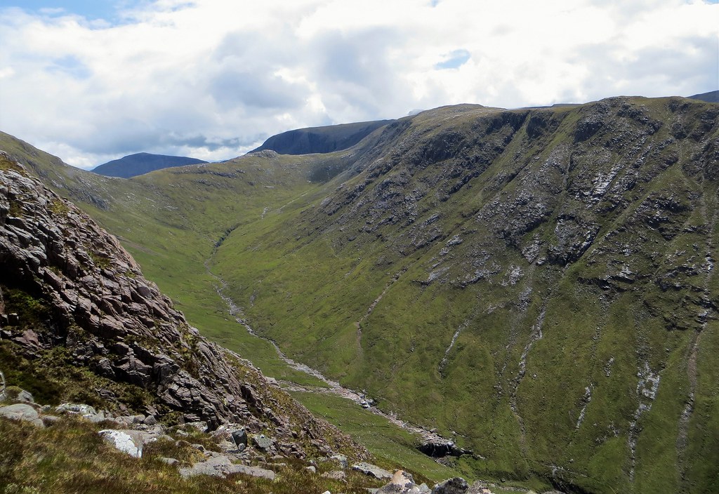
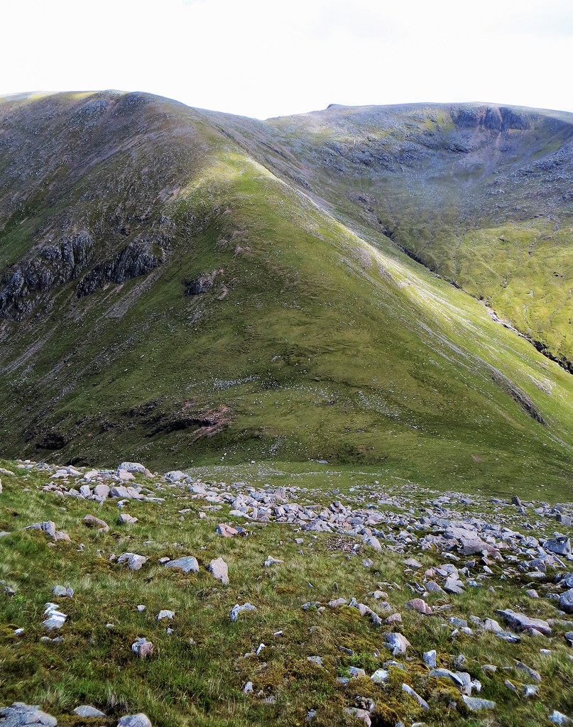
Our descent route viewed from the summit of Beinn Mhic Chasgaig

Contemplating the descent. A fine view of Beinn Ceitlein and Stob Dubh.

Across Aonach Mor to a distant Cruachan range

On the descent.
Beinn Mhic Chasgaig and its high bealach. Descent ridge, initially mainly of grass on the left.

Approaching the crags

Descending

The exit gully
The final crag negotiated on its right (left in this shot looking back)

Just after the craggiest section we found ourselves opposite the alternative ascent/descent route to Beinn Mhic Chasgaig, up to the bealach that we had crossed earlier. It looked horrendously steep, and I can’t for the life of me see how anyone could get pleasure out of that 1000 feet of relentless grassy ascent. Perhaps it might make for a fun ascent in winter conditions! We were pleased with our route.


Before long we were in the base of Coire Odhar following its infant stream. Tracks were indistinct but at the stream confluence (218492) we were able to ford the stream in amongst some pretty waterfalls to gain what became our outward track. In just over 1km we passed by our ascent gash to enter the gorge and pleasantly return to the dilapidated bridge. With the weather now being so pleasant and sunny we were in no real rush and we stopped for a lot of over the shoulder photos of our descent ridge, with the summit of Clach Leathad just visible.
Reaching the stream.

No real track here but it was easy to use the stream bed and its immediate sides.

Approaching the confluence. The descent ridge behind.

Crossing the stream to regain the home track.

On the track looking back. Clach Leachad’s top is just visible.

Back at the ascent gash.

Much nicer conditions on the track by the gorge than on the way out.

A nice early evening view of An Grianan and Stob na Broige.

This time we bypassed the bridge and boulder hopped over the steam before the pleasant walk out alongside the scenic waterfalls to Alltchaorunn and the final few hundred metres back to the bridge and the car.
Crossing the stream, avoiding the rickety bridge.

Looking back along the track by the waterfalls.

Not far now. A warm June evening.
All in all, over seven and a half hours, excellent visibility giving superb views on a day when a late start gave weather as forecast with the final couple of hours giving conditions more akin to what a June day should be like.
A few bits of advice for anyone contemplating this route.
• Don’t use the bridge!
• Avoid ascending/descending the steep grassy slope between the bealach and the floor of Coire Odhar
• Clach Leathad’s WSW ridge is a fine return route – look out for a significant gully to aid the descent through the crags.
Glen Etive never disappoints!! I’ll be back next year.
