free to be able to rate and comment on reports (as well as access 1:25000 mapping).
There’s not much to say about this. I wanted to get out, but given the recent fatality in the Mamores, was leery of “possible thunderstorms” in the West. South was meant to be much more settled. I left home in doom, gloom, and murk, but was greatly cheered by blue and cloudless skies as I made my way through North Ayrshire and into South Ayrshire. It wasn’t until I reached Straiton, only a few miles from my target hill, that I noticed the thick bank of cloud hanging over the area toward which I was heading.

I told myself it’d clear off soon as I parked in a (not currently used) timber-lorry layby about halfway between Stinchar Bridge and the start point. Sadly, it’s simply not in my nature to reach a destination and wait (or take a nap) to see if conditions improve, and sometimes, that’s to my loss. Today was one of those days. I sloshed my way across the featureless and boggy landscape, not particularly enjoying myself, as the cloud stayed stubbornly in place, in spite of the fact that it was also quite windy.
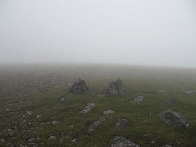
I eventually found myself at the trig point, but knew this wasn’t summit, so carried on, pathlessly now, to the small summit cairn.

The original plan had been to carry on to Tarfessock, although I knew I probably wouldn’t go as far as Kirriereoch Hill. But I saw no point in carrying on when I couldn’t see a damn thing. So I turned around.
The cloud lifted when I was about ¾ of the way back,
although it looked like the summit remained under cover, for the time being.

wow, it’s actually quite pretty!
I was back at the car by 9:30am, and home before noon. It was a long drive for not much of a walk, but hey, you makes your choices and takes your chances.
