free to be able to rate and comment on reports (as well as access 1:25000 mapping).
Prior to any WH meet there is always plenty of electronic chatter about what hills are on the menu, once a decision has sort of been made, the final details are then agreed.
My original plan a month or two ago was to tackle the whole of the Sisters ridge, rather than split it into 2 visits. However after my recent leg problems, my physio recommended that I walk for about an hour max. After that advice I had to come up with plan B, Munro's were off the menu so I told my usual walking buddies that I was planning to scale down literally. George offered to keep me company and I bet he regretted that 20 minutes into our first walk?
Martin and Parminder were planning to tackle the South Glen Sheil Ridge on the Saturday and a Walk Report may appear before Santa arrives.
It was rather fortunate that there are 4 Marilyns on the Ratagan peninsula, so the plan was one on Friday, 2 on Saturday and the last one on the Sunday before we headed home. Next what order to tackle them, after that look at the umpteen Walk Reports on here. The latter turned out to be a bit of a waste of time, as there are no WR's for any of the hills without walking about 50km and I would get a row if I did that. Thanks to Malky C & Weaselmaster for there reports but they were far too adventurous for us.
So it was time to use my great navigational creativity, I plotted routes via the GPS page. They turned out to be kind of useful, mainly for finding a parking spot near the start of the walk and locating the summit.
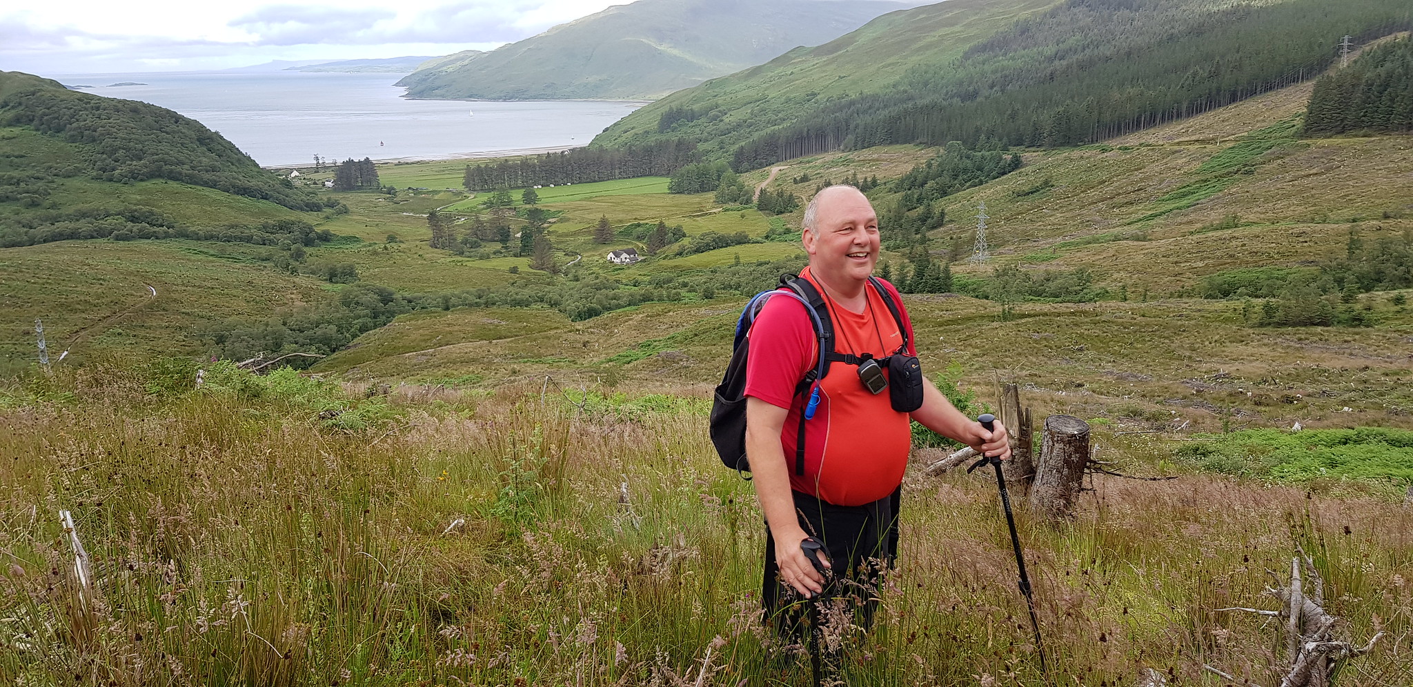
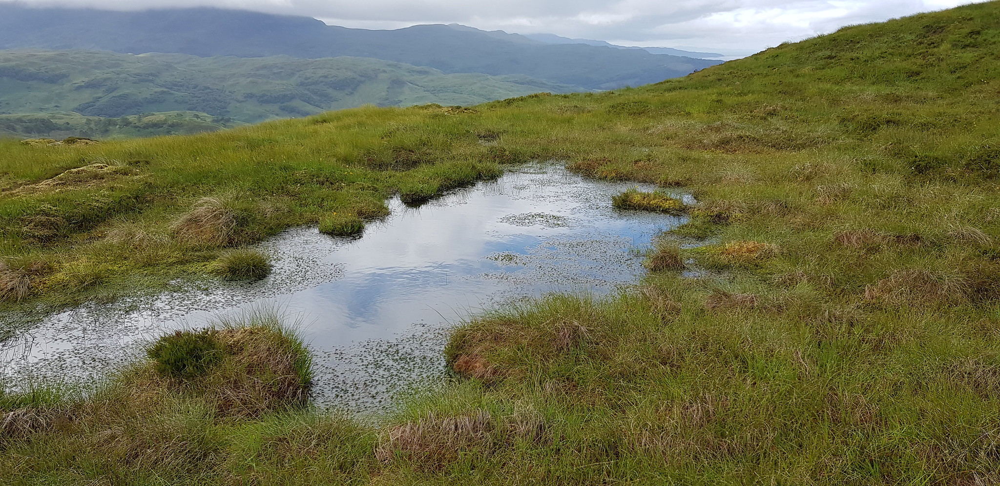
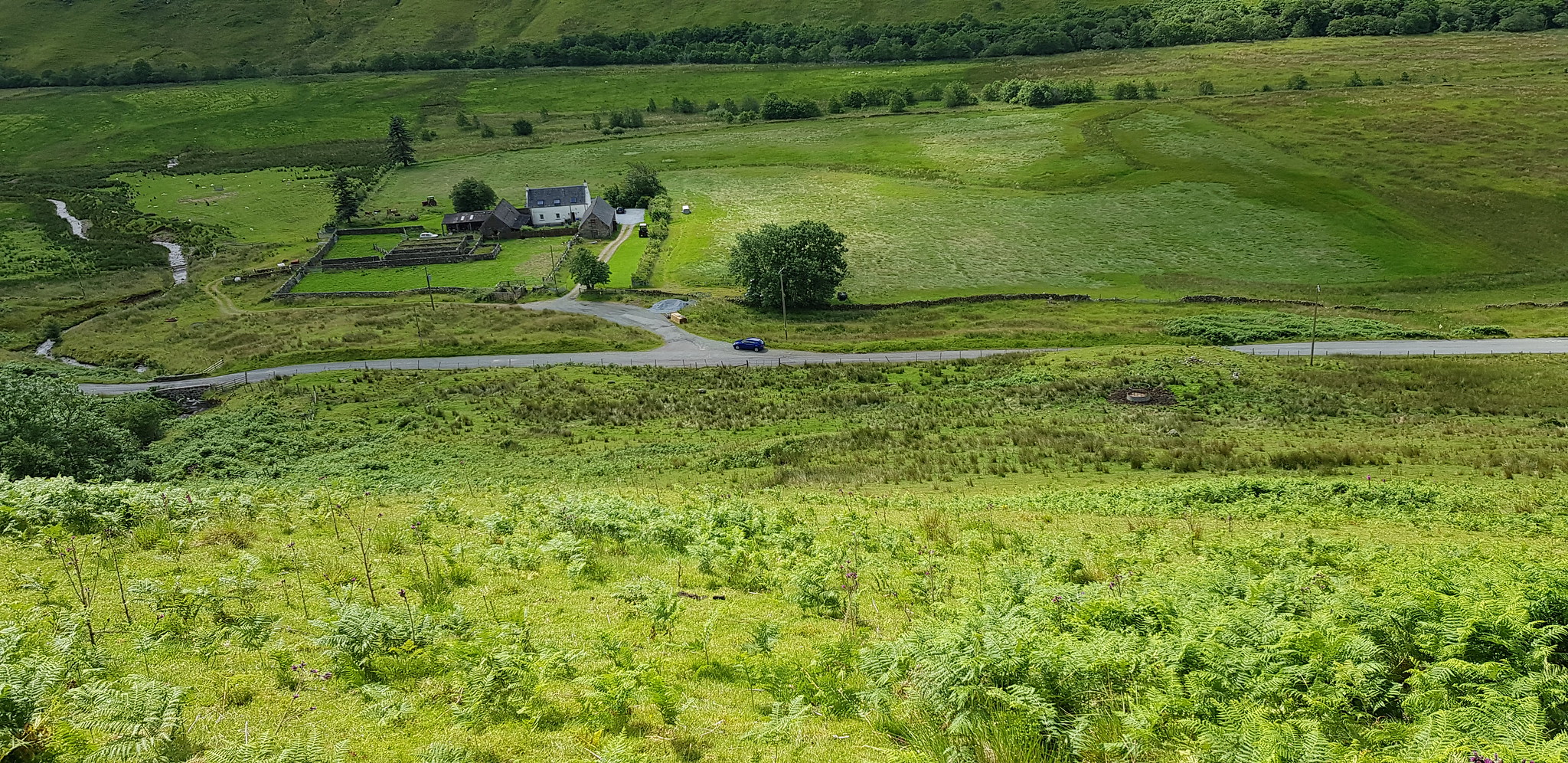
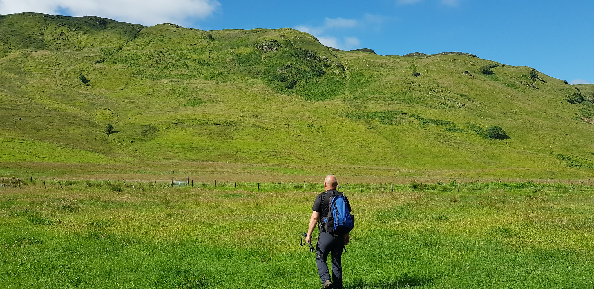
I volunteered to drive and was uplifting Parminder and George at the usual uplift spots, we arranged to meet Martin at 6.30am at Broxden for our usual 'posh' breakfast so that Parminder could get fuelled up. We avoided all the rush hour traffic by leaving early and arrived at Ratagan just before 10am, I suggested we try and dump our stuff but folk were still leaving and hanging around so we binned that idea.
Parminder was Martin's co-pilot as they were planning to tackle Beinn Sgritheall, we travelled in convoy until we reached our start point for our much more difficult hill. There was a nice layby for me to park, so we said our goodbyes and they sped away. Anyone expecting a Sgritheall Walk Report may be disappointed!
Friday 12th July 2019
Beinn Mhialairigh, 2hrs 10mins
Before I start, the route up was up through the forest, from on high we planned a much easier descent - in theory.
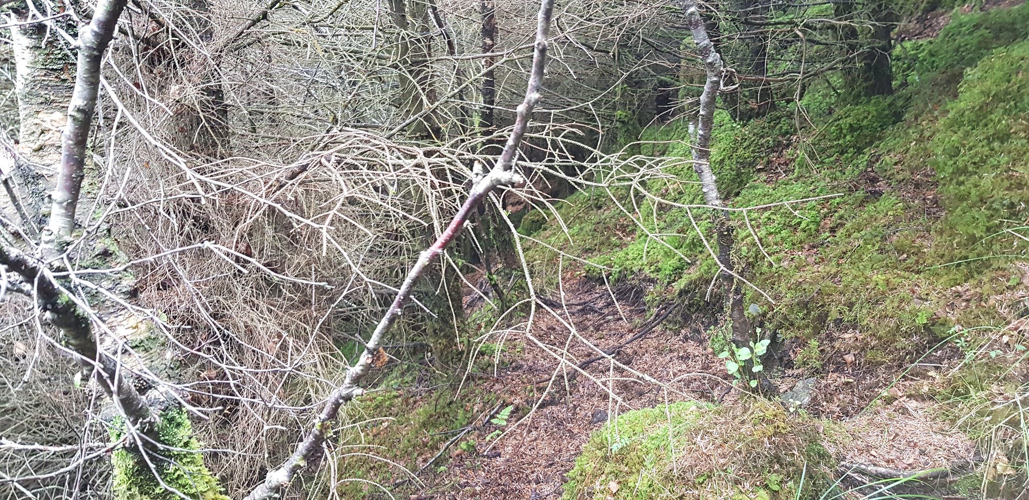
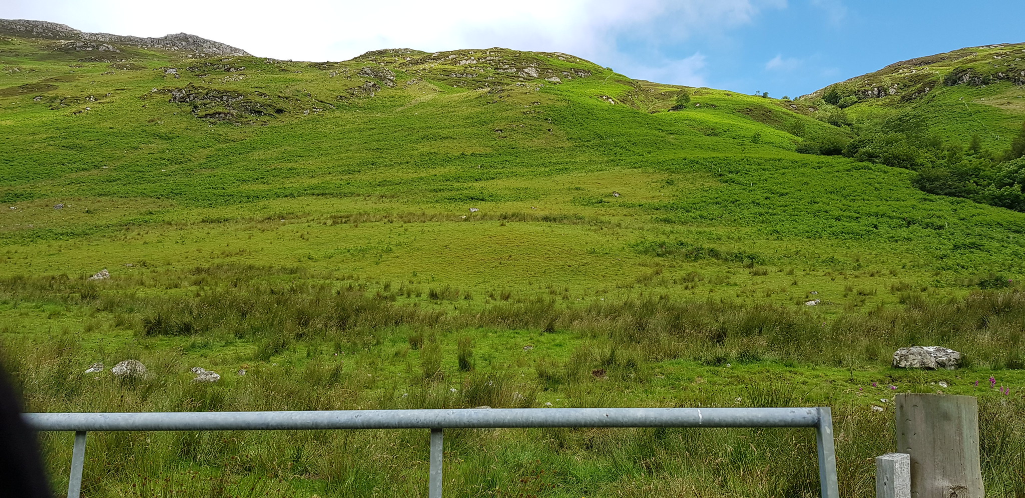
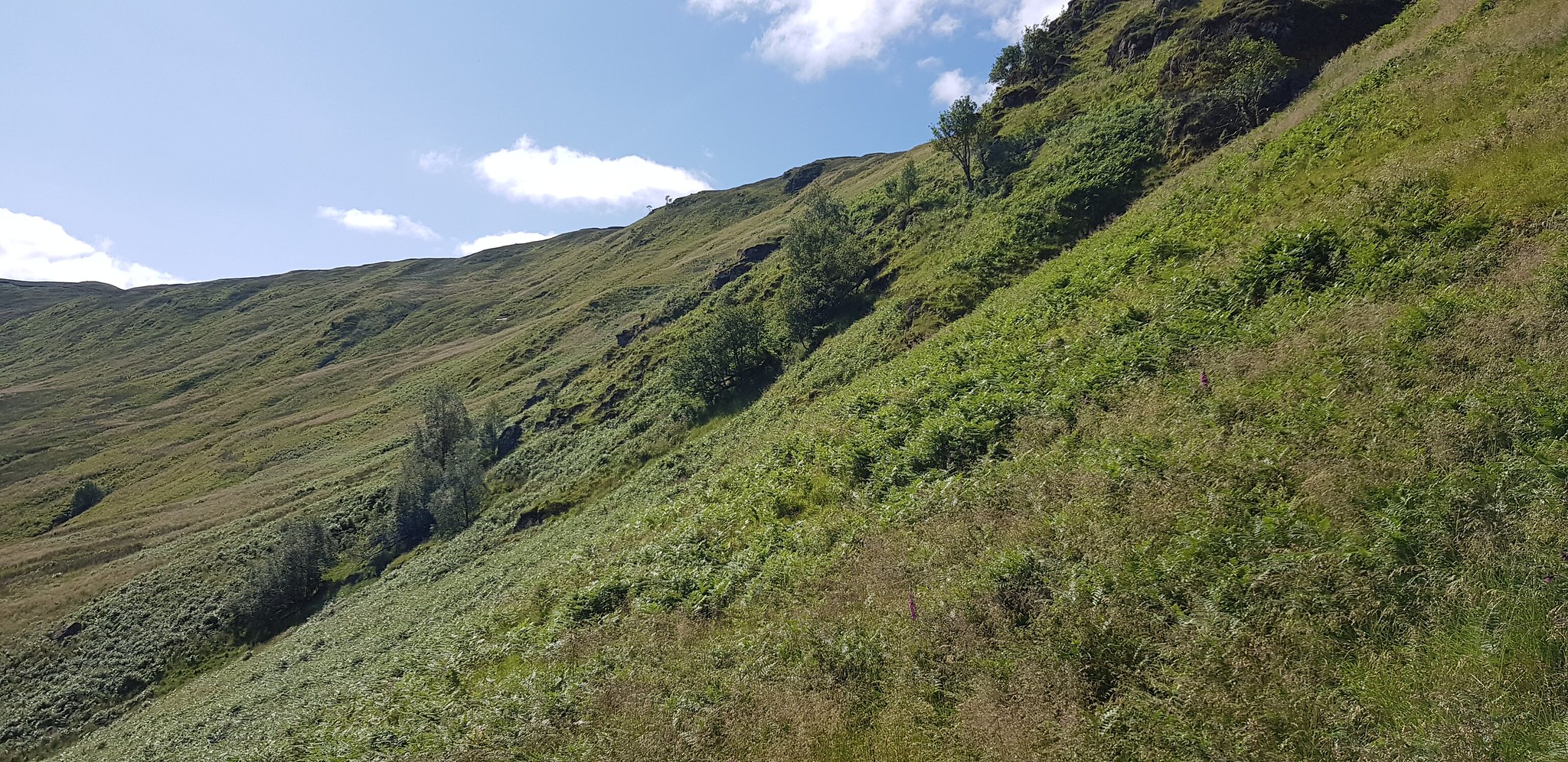
As soon as we got out of the car we were greeted by a hungry horde of flying eating machines looking for breakfast, so we kitted up rapidly and set off along a kind of overgrown track, all was going rather well at this point and I was feeling pretty pleased with my route selection. That feeling only lasted about 5 minutes, as the route on my phone had us leaving the path and heading uphill. We paced backwards and forwards to try and find an easy way to head uphill, end result there was no obvious easy way so we picked the best of a bad bunch.

Parking spot in a layby

George striding out and loving the track

Not a well used track

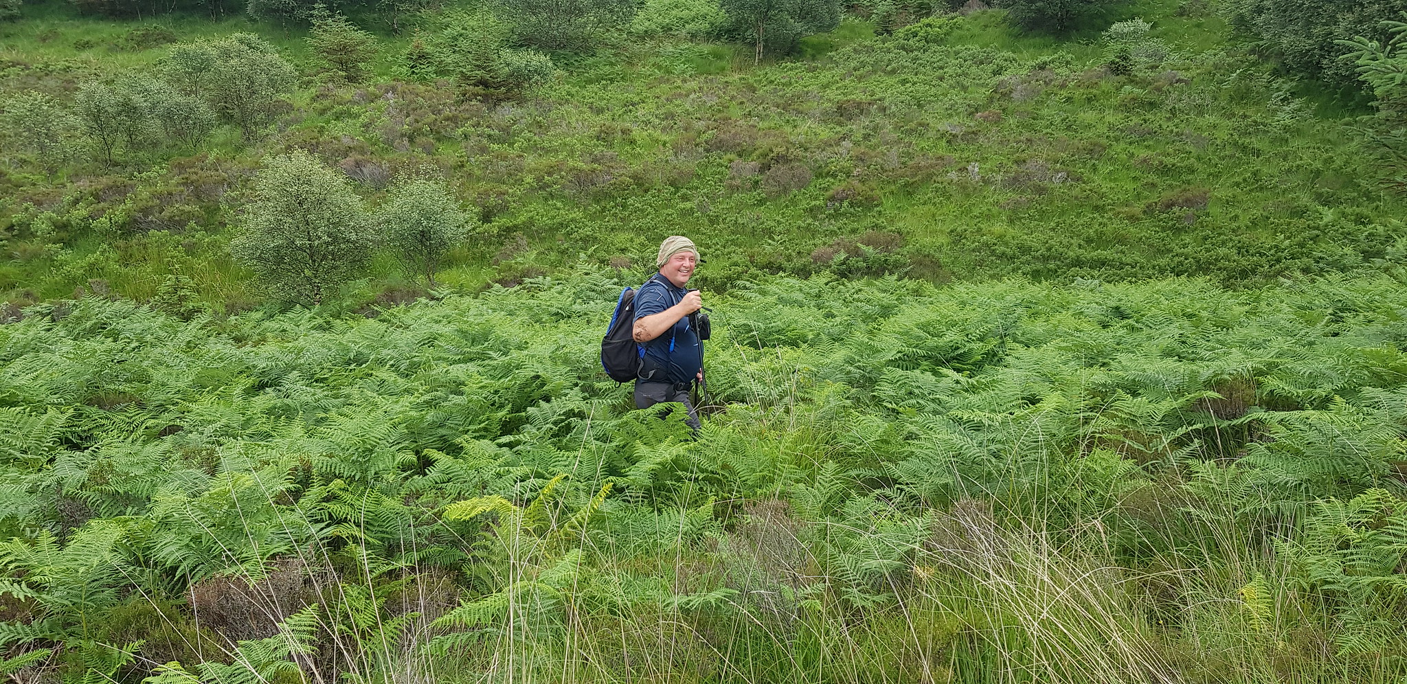
Just about time to take the jungle option

This was where we decided to be adventurous

George surveying the uphill terrain

It was a matter of looking for daylight and if that wasn't there, find a route without getting scratched to bits

Hopefully the photos demonstrate how close the trees are to each other

A glimpse of the views to come

We are now clear of the worst of the forest

Looking Westish

Here we go again, much easier though
Not much more to battle through

The first of our deer fences, this one was easy as it was old and almost lying flat

Looking out over the water across the flattened deer fence

It was a matter of picking our way uphill

The next deer fence had a hole cut in the corner, George decided to squeeze through the hole with rucksack on his back I took mine off

Looking down the fence across the water
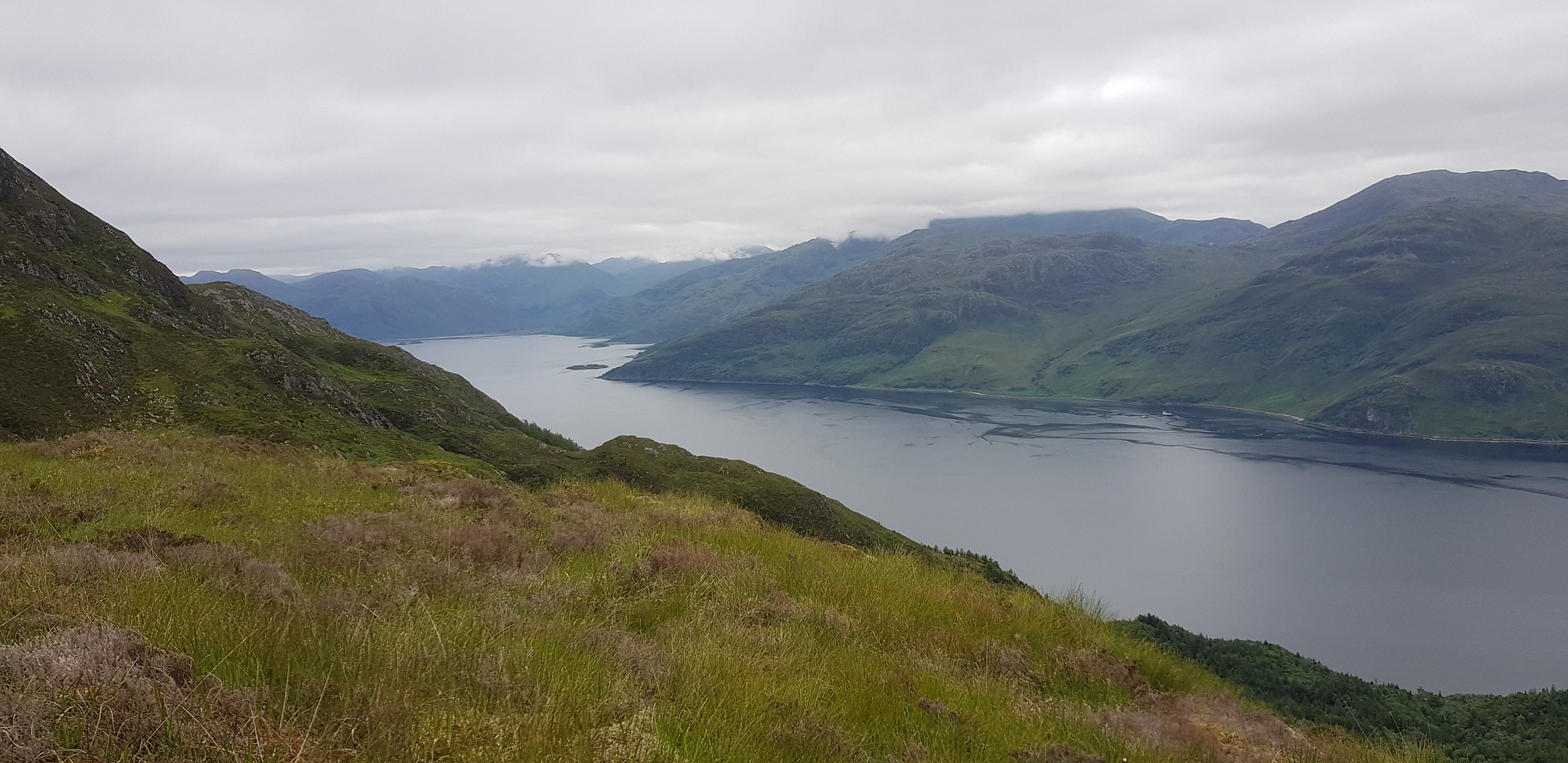
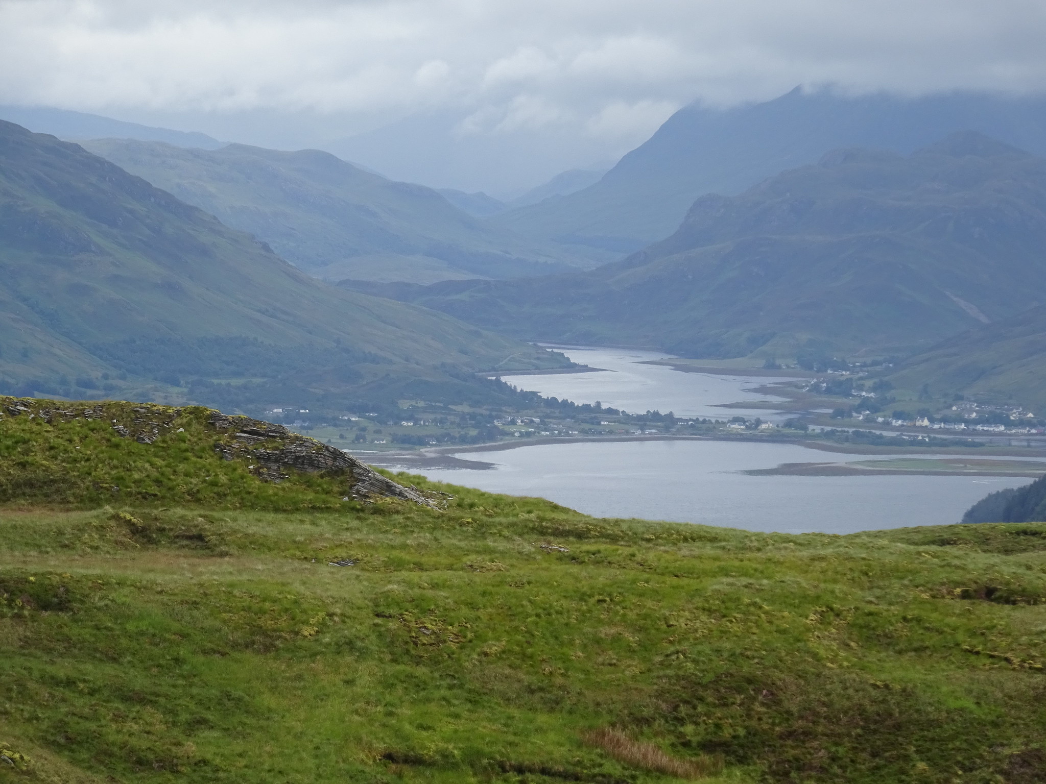
Loch Hourn looking towards Barrisdale Bay

Looking down on another deer fence

We were being watched
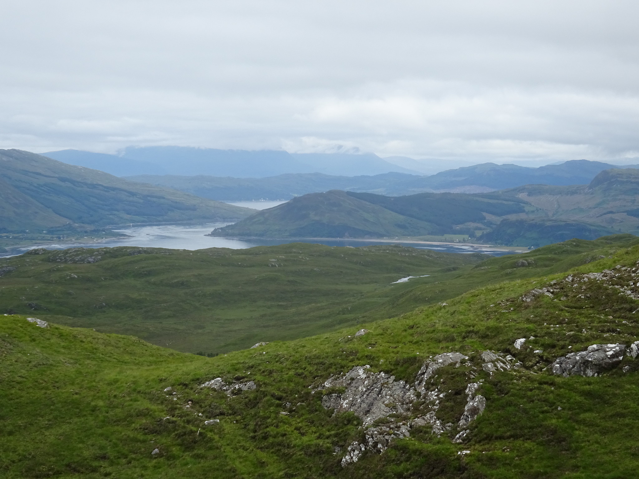
Looking north
One of the many random deer fences

Looking across to Canna

Loch Hourn looking towards Barrisdale Bay

Beinn Sgritheall, Parminder and Martin somewhere in the cloud

Summit video

Sgritheall during the descent

Nice boat speeding up the Sound of Sleat

George showing how to scale a deer fence

From the higher slopes our plan was to head north and avoid the forest, unfortunately due to the undulating ground it is difficult to see exactly what lies ahead

Bracken and the occasional tree

George sporting new head gear as we reached the lower slopes, we had a welcoming party who were hungry

More obstacles
Bracken was the better option than small trees

Looking back and it doesn't look inviting
Saturday 13th July 2019 morning
Glas Bheinn, 2hrs 45mins
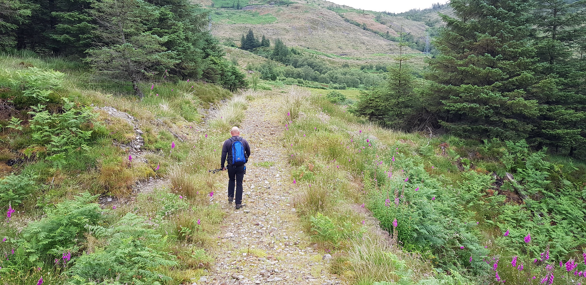
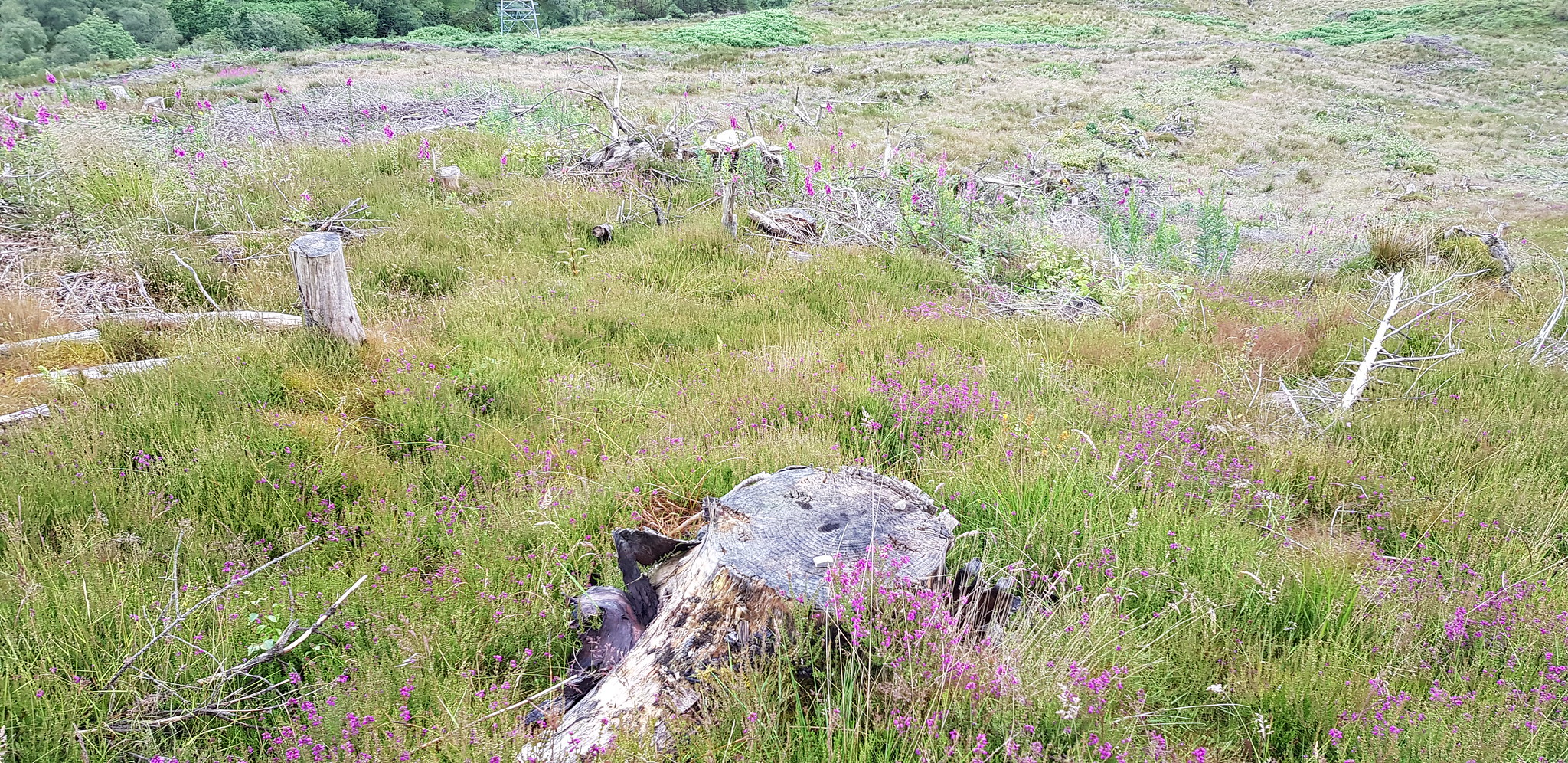
The route up was through the forest, which is now tree debris, long grass and undulating underfoot terrain. Once we reached the path that was a rather obvious and much better way of ascending.
As we didn't have far to travel, head towards Glenelg and turn right as if going for the ferry, we were at the parking spot just before 9am. Once again things were looking good, we had a track to walk on and we could see our hill straight ahead looking pretty imposing. Looking at Glas Bheinn it looked pretty obvious that you can't reach the summit from the west, unless you have climbing gear.
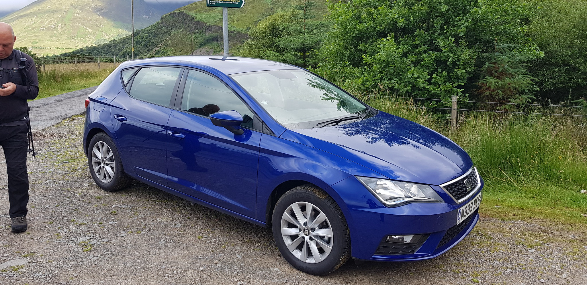
Parking spot

Looking back towards Glenelg
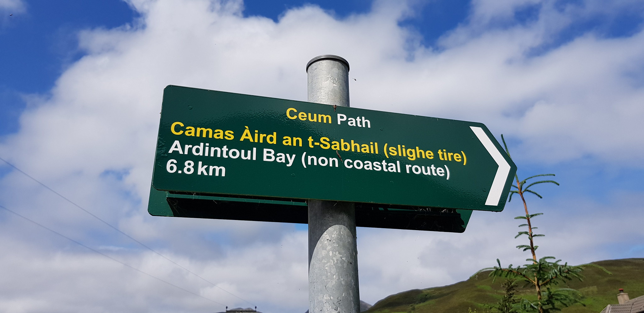
Sign where the car was parked
We followed the track until it headed west in the wrong direction, we therefore decided as usual to opt for the direct route uphill. Not our best decision as the forest that used to be there was now like an obstacle course and within 5 minutes we were huffing and puffing and had soaking wet legs, I tightened the strap at the top of my gaiters to try and prevent water running down the inside. It was once we reached the track at the top of the deforested area that I had a great idea for what Santa can bring me in December - a DRONE. If I could work out how to operate one I would send it up a few hundred metres to scan the terrain ahead, it would have helped us on all 4 of these hills.

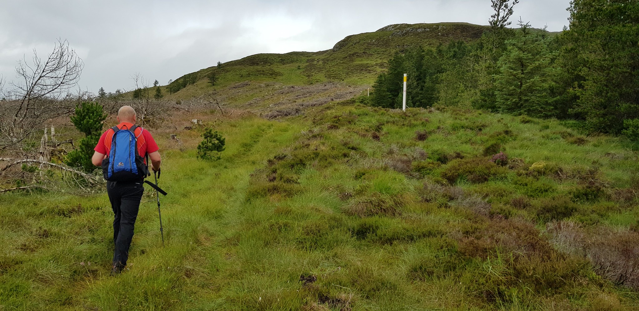
George pointing the way, Glas Bheinn summit waiting for us
George enjoying the walk so far
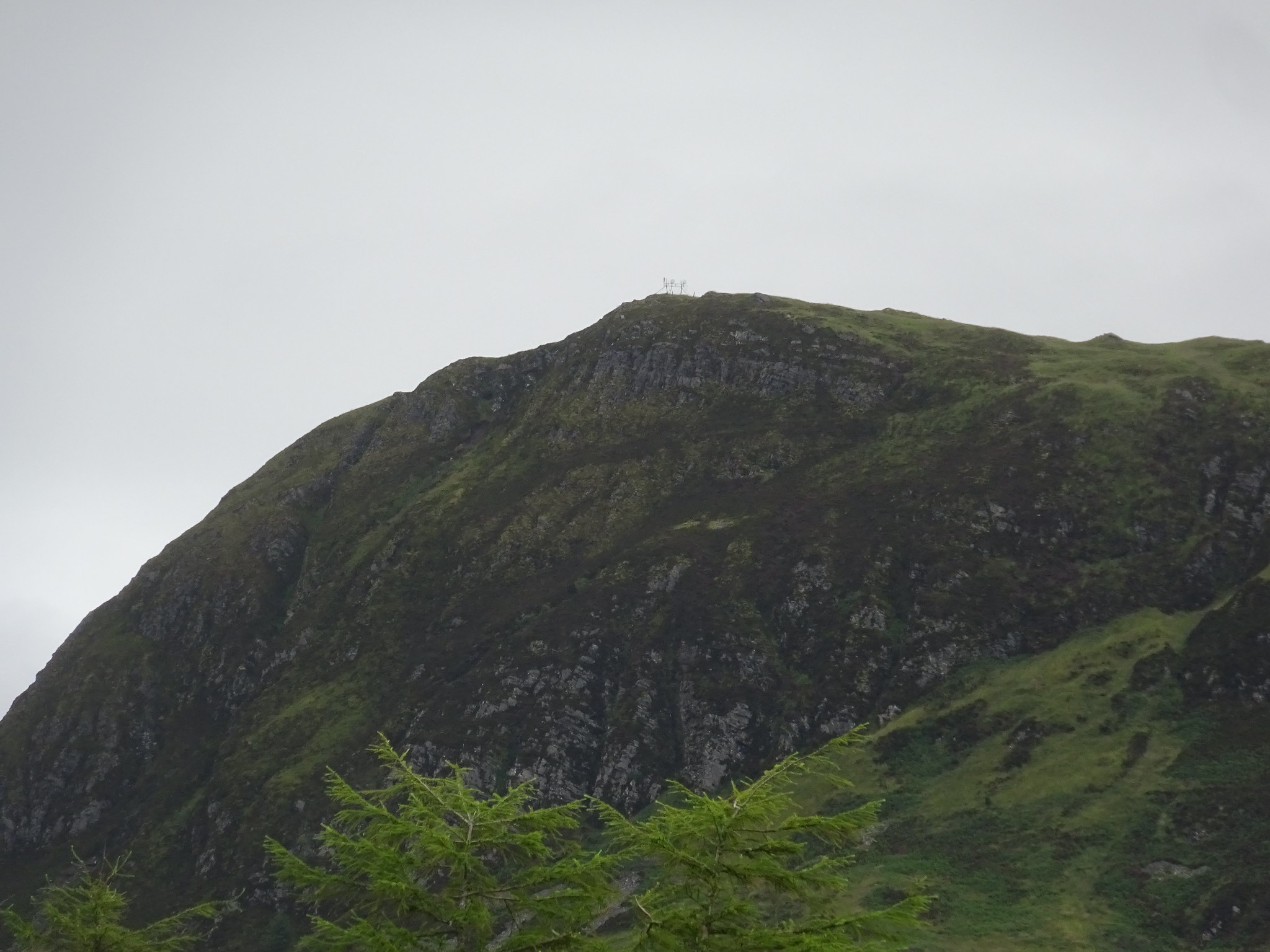
Summit zoomed, from a distance I thought there were a few trees, but as you can see - a bit of modern technology

It was now time to leave the track

The direct route, summit looks quite close

Looks easy, but the grass was soaking

Looking back

A closer look at the lovely terrain

George on a natural posing lump
Looking back over our route
George still smiling, probably because we were about to rejoin the track

The reason why George was smiling

One last look at what we have enjoyed

The end of the track, time to head west and uphill
A faint track heading up for a wee while

There were plenty of these heading up to the summit

We headed up between the debris and the trees

We followed a wall uphill too

A nice view whilst showing the angle of ascent
Not the biggest lochan
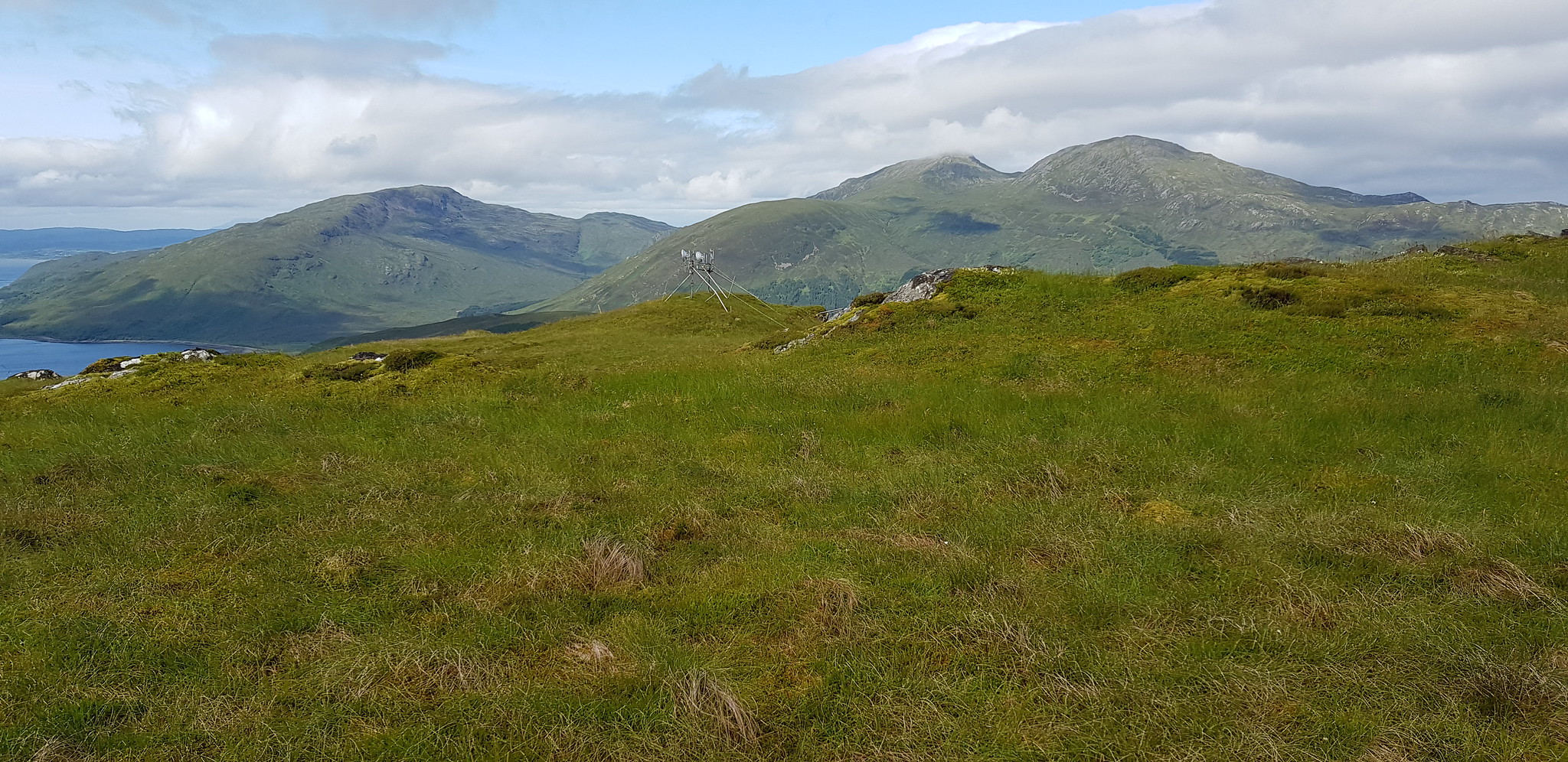
Southern end of Skye, as well as one of the many relay contraptions

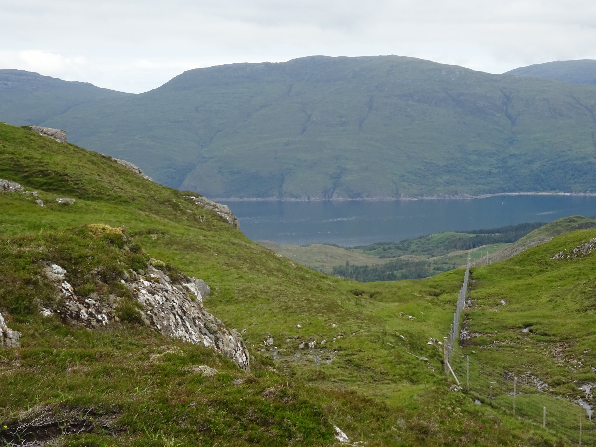
Looking down to Glenelg

Local industry

Kyle of Lochalsh

Sound of Sleat
Looking NE towards Dornie

Kyle zoomed

Video from the summit of Glas Bheinn

More technical stuff

George demonstrating how prolific Mares Tail grows in the west, that's what we thought it was?

Our lunch spot, view not too shabby
Saturday 13th July 2019 afternoon
Beinn a'Chuirn, 3hrs 10mins
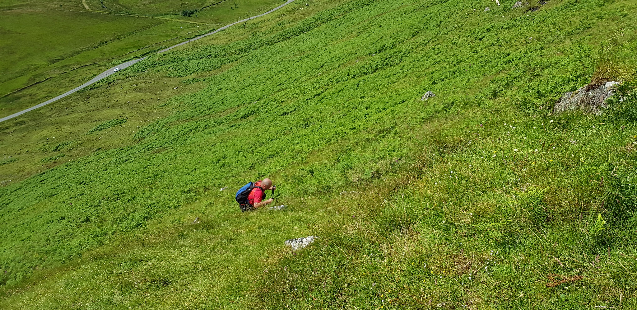
After a short drive where we even kept our boots on, I parked the car off the road at the top of the access to Beolary and as we got out of the car it was rather obvious where we were going to be heading - 300m straight up. Once kitted up we opened the gate and headed steeply uphill. We scanned the hillside and as usual picked a point to head to, on the lower slopes the last thing we wanted to do was wade through bracken so we tried our best to avoid. The hillside is used by livestock and as we gained height we noticed that we were being watched, there were 4 cows that we could see and they were between 200-300m up, not sure if they are milking cows, if they are we didn't envy the farmer.
Parking spot and George looking very impressed with what lies ahead
The photo doesn't do it justice, we likened the ascent to going up the middle of the 5 Sisters, albeit a tad short height wise

Car getting smaller

Looking uphill and picking a spot to head for

Not our favourite
Car getting smaller

Kind of shows the steepness
George loving it

Head down and plodding on

We kept to the left of the gorge and the fence

We are now on the large undulating plateau

Biggest lochan of the weekend

Another fence to negotiate

Here it is the summit trig

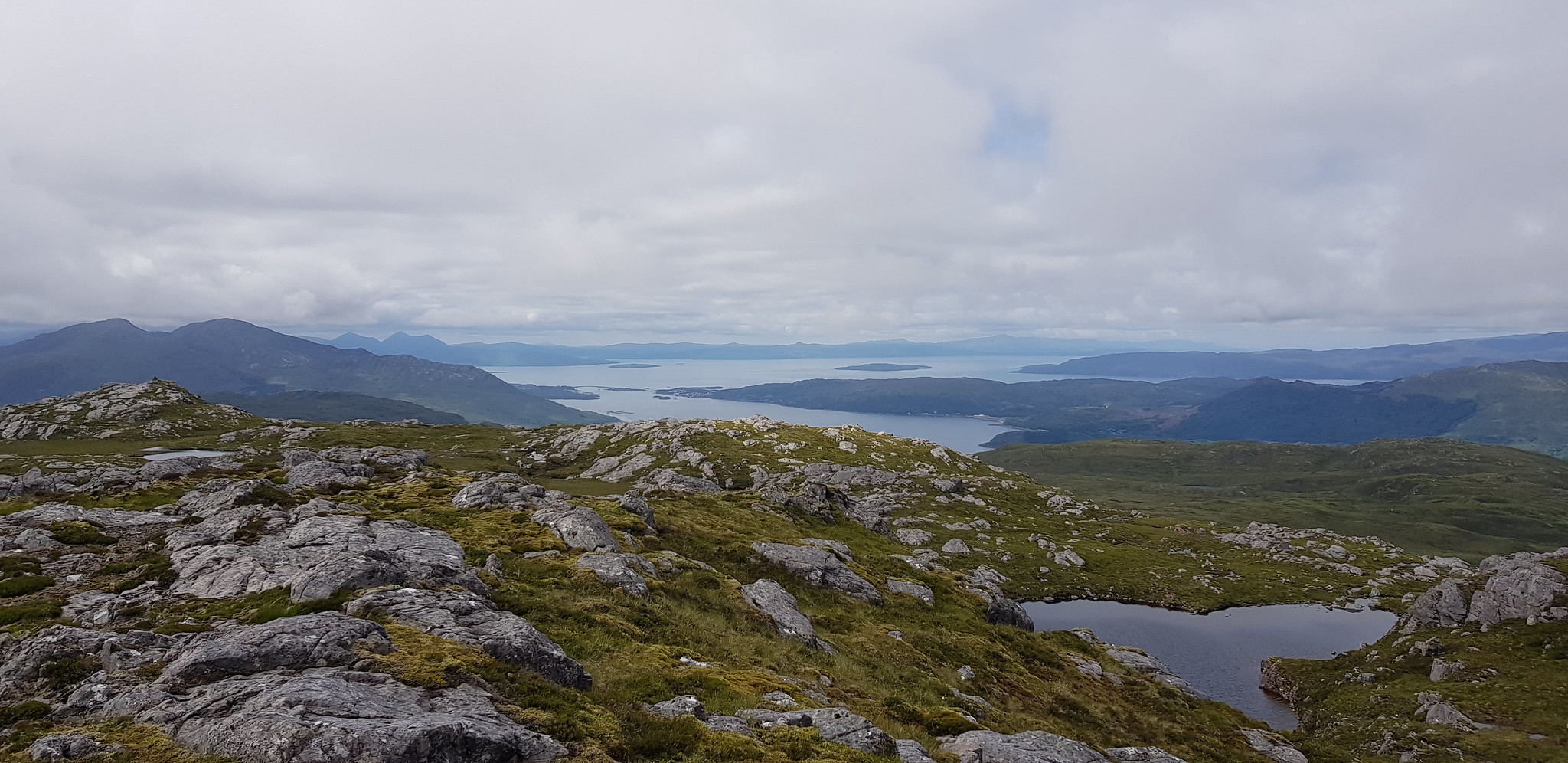
Another cracking summit view

Summit video
Skye Bridge and the Kyle

Milking the moment
Sunday 14th July 2019
Beinn a'Chaoinich, 3hrs 5mins
The route up took us across fields with a gate to open and 2 fences to climb, after we descended the steep long grassy slopes we headed north ish, which kept us to the west of the fenced area.
I parked the car off the road down the Old Military Road on the right hand side just before the bridge. Today was the warmest day of the weekend and it wasn't long before we were overheating. The livestock fields we crossed had no animals within so we were able to head directly to the corner of the fenced area.

Parking spot

Glenmore river looking east

Looking west
Our plan was to head the right of the rocky bit, looked OK but it was anything but fun
The direction we opted for turned out to be the best of a bad bunch, from a distance we had no idea how long the grass was, or that there was bracken. We descended the same way so I suppose it can't have been that bad, having said that descending is rather quicker than ascending!

Not ideal and George was standing up

Doesn't this look fun, especially when you add in no wind and lots of flying biting things

Looking back, not very often recently when I have been in front of George

It can only get better
Shows angle of ascent

Looking back down after our struggle

The end result after a tumble in the heather

Summit video, more cracking views

This is a before and after shot, there was nothing to mark the summit when we arrived

We had to hunt for stones as the majority are attached to the hill

Heading down
To explain the lack of Parminder, he opted to give this walk a miss so we dropped him off just up the road from Glenelg, heading towards the ferry. He was going to walk back and meet up with us, what could possibly go wrong? Once we were back in the car we drove back SLOWLY looking everywhere for our missing person. We drove down to the ferry - no sign, into Glenelg and round to the monument - no sign. Houston we have a problem, no phone signal, so we drove slowly back to where the car had been parked and who should appear out of nowhere just as we almost reached our spot. Parminder had seen the car parked and nipped up the road for a couple of minutes, whilst we set off in the other direction!!!!

Just to prove we went searching here is a shot looking towards Glenelg

Looking across to Skye
Walking wise, this turned out to be very satisfying, every one of the four wee hills offered fantastic views with Glas Bheinn being the smallest and defintely the star. I said to George at the time the views were the best I have had from the summit of a hill.
A huge thanks to George for keeping me company, especially as he could have 'bagged' umpteen munro's to add to his second round which starts in September.
