free to be able to rate and comment on reports (as well as access 1:25000 mapping).
Previous day - Brown Coo & and overdose of heatherIt was not an early start – I was treated to a fabulous breakfast courtesy of the friend who had stood me up the previous evening (definitely worth the wait) – but it was summer and early starts didn’t really matter

I drove the few miles around to the car park just before Bridge of Dye – I couldn’t be bothered to drive around to Glen Esk and this looked like a nicer route anyway

A quick change and I was good to go!
I followed the track from the car park which led me easily to a farm track. Already I could see the big granite tor of Clachnaben ahead

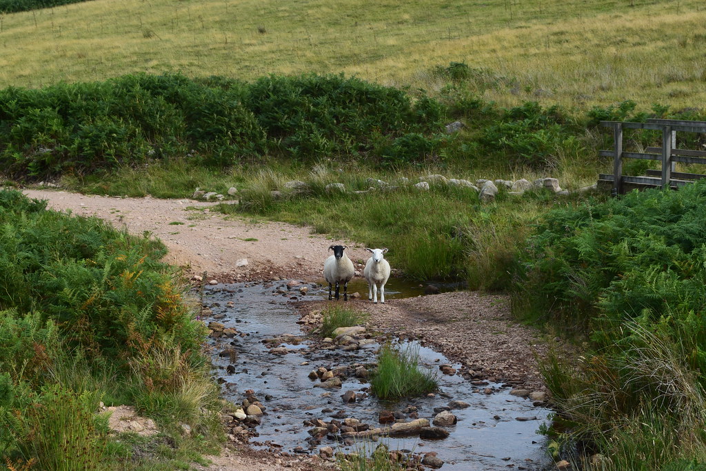
Across a stile I continued along the track which led me through a humongous herd of sheep all making a row

It was easy walking along here – even the boggy bits of track had wee bridges over them, probably thanks to the Clachnaben Path Trust, a local charity. The path led into the forest and followed a burn gently upwards. Once out of the trees the gradient increased a little but gave good views back the way

The final ascent to Clachnaben was a bit rougher underfoot and steeper and I met a fair few people coming down. They were all complaining about the wind – looks like it wouldn’t be a day for hanging around too much


They weren’t kidding – the large rocks gave some shelter but it was blowing a hoolie


I played around on the giant tor for a while but it was chilly and pretty tricky to stand up
I would probably be coming back this way so hoped that the wind might have dropped by then…
I could see ahead to Mount Battock – it looked a long way

Looking back to the Clachnaben tor

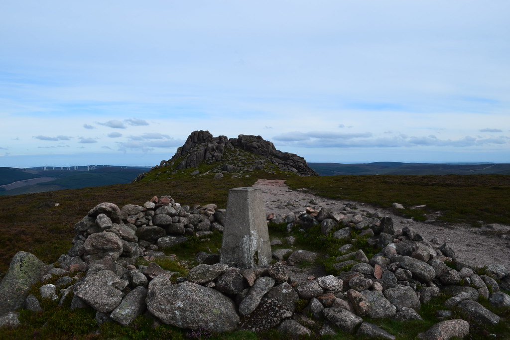
The trig point was a little more sheltered and gave more views back to the tor
The track was good underfoot which meant I was able to eat up the miles quickly – before long the giant tor was far behind me

The long and winding road ahead to Mount Battock

Not really the sort of sign you expect to come across in the hills…I figured it probably didn’t apply to me

It wasn’t the most interesting walk but it was good to be out and I was a little more sheltered here…looking back showed how far I had come (and how far I had to go back
)

The track began to climb more steeply as I approached the final ascent and I branched left off the main track – I was now far above Clachnaben

r
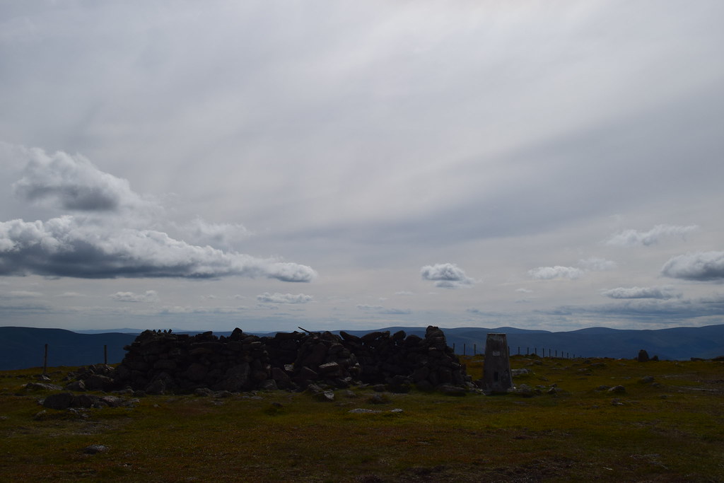
There were several vague paths to the summit but the visibility was good and easy enough underfoot to make it a simple stroll to the summit of Mount Battock.

Views towards Lochnagar

It was still windy but there was space to shelter so I sat for a while to enjoyed my lunch and planned my next move. There was scope for returning down the glen (slightly further but more sheltered) but in the end I decided to stay up to enjoy the views
I got bored on the walk back so ran quite a lot of the way – it was easy enough underfoot but running with a camera is a total pain
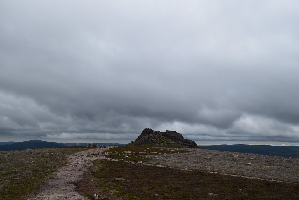
Back near Clachnaben – looking to Mount Battock

And to Clachnaben itself
Dropping down the side of the tor – an impressive sight

Retracing my steps wasn’t the most interesting route but it required no thinking which was quite nice at least
Back at the track the sheepy army were out in force…
I stopped for another photo of the giant tor as I negotiated the stile…

…before walking the final few minutes to the car and heading back to Ballater to find somewhere to pitch my tent
A nice walk - Clachnaben definitely being the highlight, and one to return to with less wind
Next day's adventures - a biggie!
