free to be able to rate and comment on reports (as well as access 1:25000 mapping).
Previous adventure - Malky's Special SpotsMonday 23rd July 2018Corryhabbie Hill
12.95km
540m ascent
3 hours
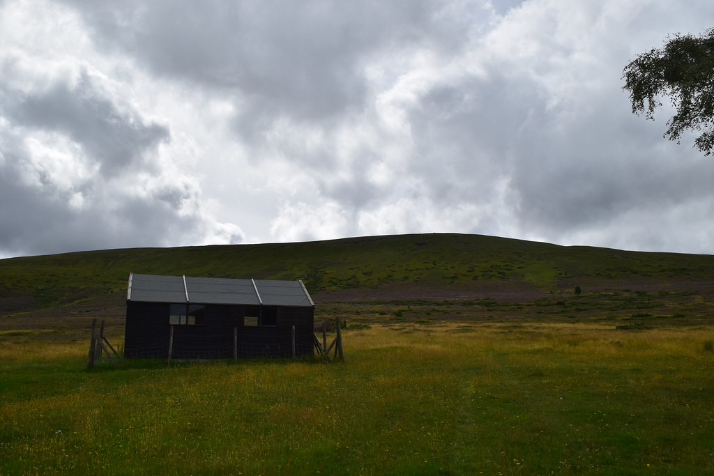
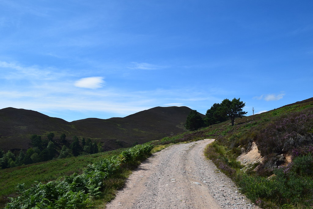
I restocked in Inverness before heading East – the Moray Corbetts had always interested me but always seemed a bit far to be bothered driving from Glasgow. But seeing as I was up this way anyway…. I headed for the Glen Rinnes and found a parking spot near the start of the walk.
It was very warm and I decided to travel as light as possible. Setting off across the field I was wading through dry grass before the track materialised, making for easier underfoot conditions. I’d already worked up a sweat before I even started going uphill

I took a right which led me up a grassy shoulder leading for the ridge
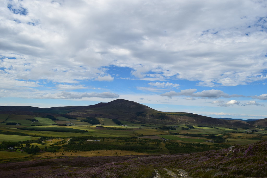
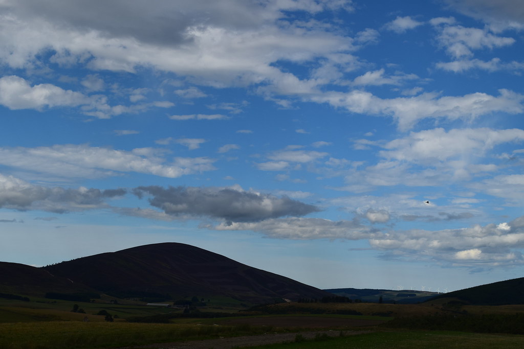
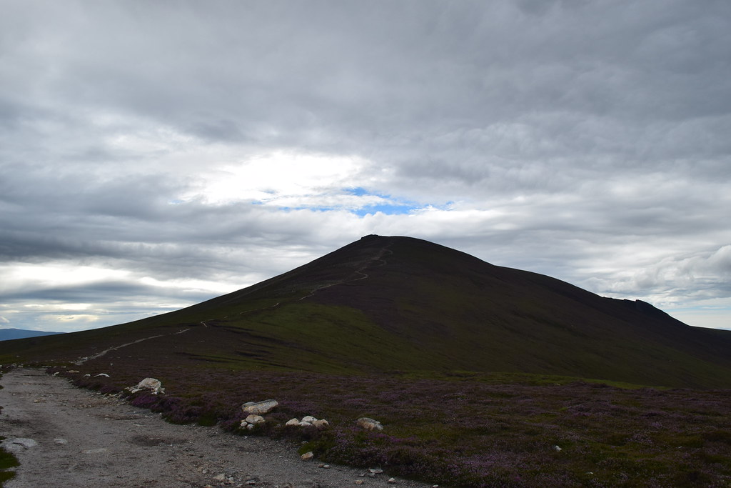
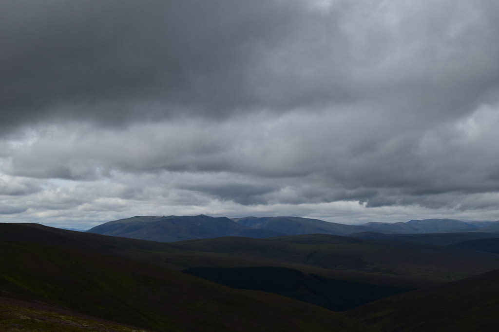
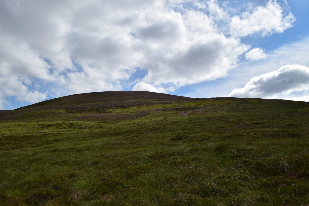
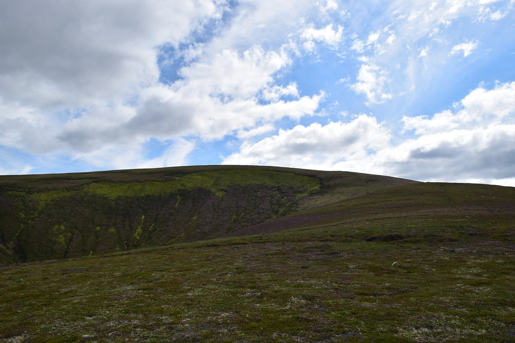
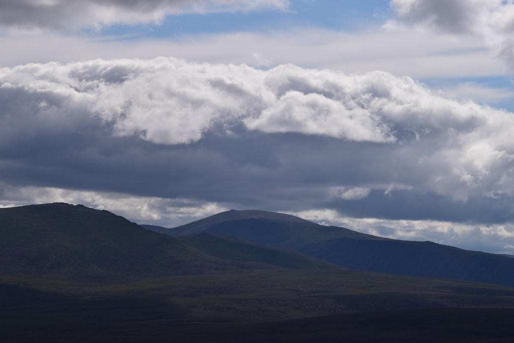
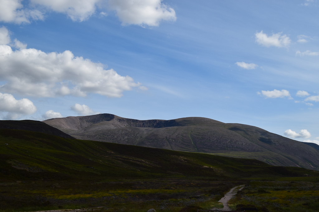
Ahead, Corryhabbie looked impressive

Soon I had to hop over a fence and I was into heather…my favourite

Fortunately it wasn’t too deep and was relatively easy to walk through.
Ben Rinnes – a target for later
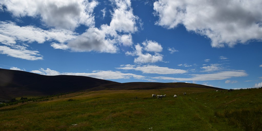
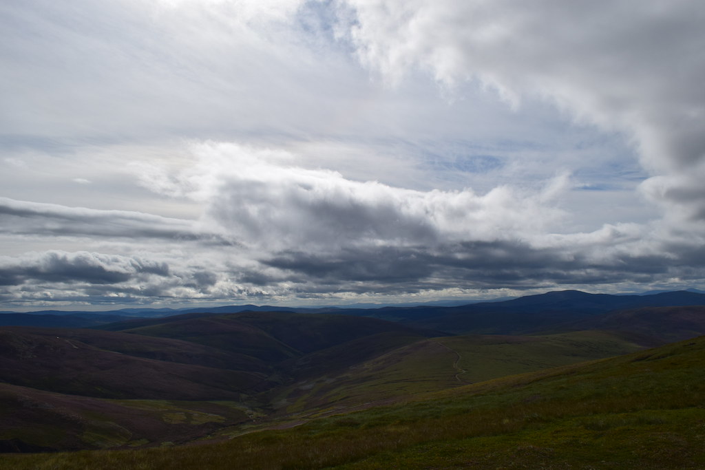
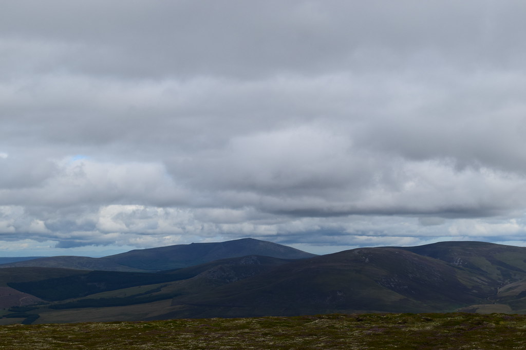
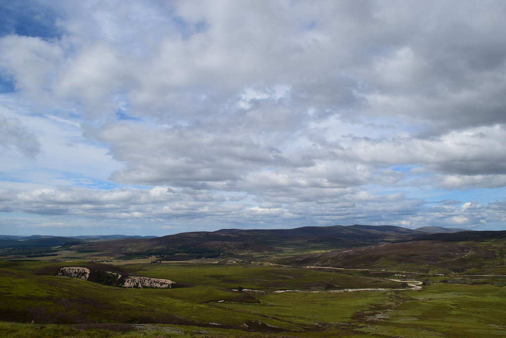
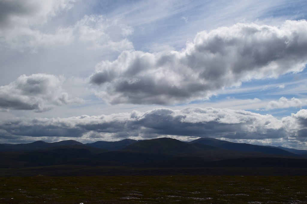
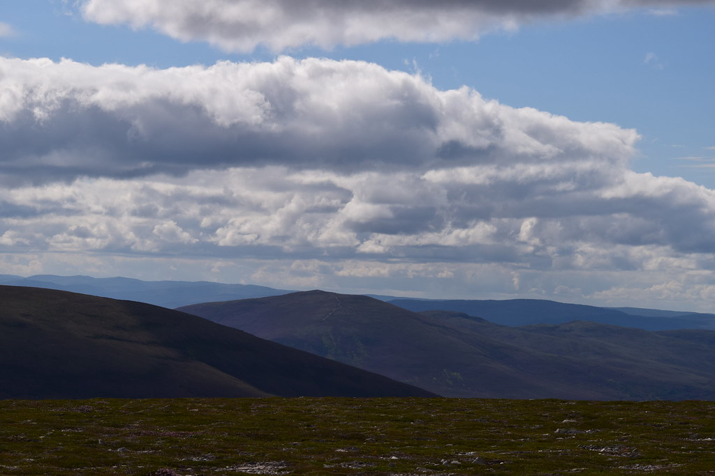
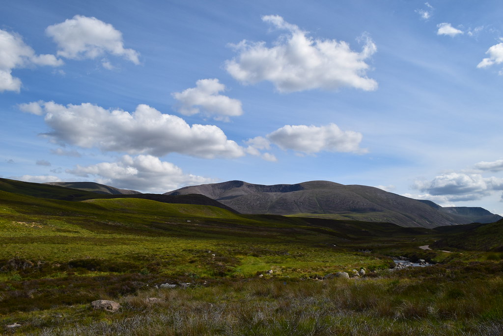
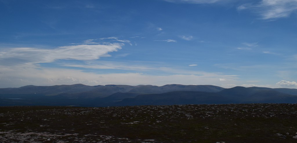
Soon I picked up a vague path through the heather which led me over Little Lapprach and onto the final ascent. The ridge had narrowed enough to give fine views down the glen
I managed to negotiate the peat hags and make it up onto Muckle Lapprach where the views really opened out
Looking back the way I’d come, with Ben Rinnes in the background
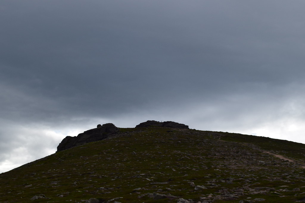
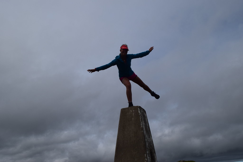
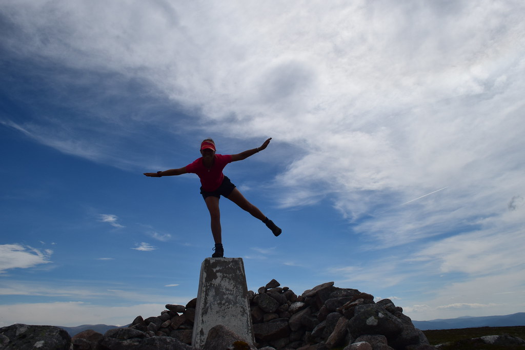
It was an easy stroll to the summit of Corryhabbie Hill where the trig point had a weird metal thing on the top. Obviously this required standing on
And the usual….
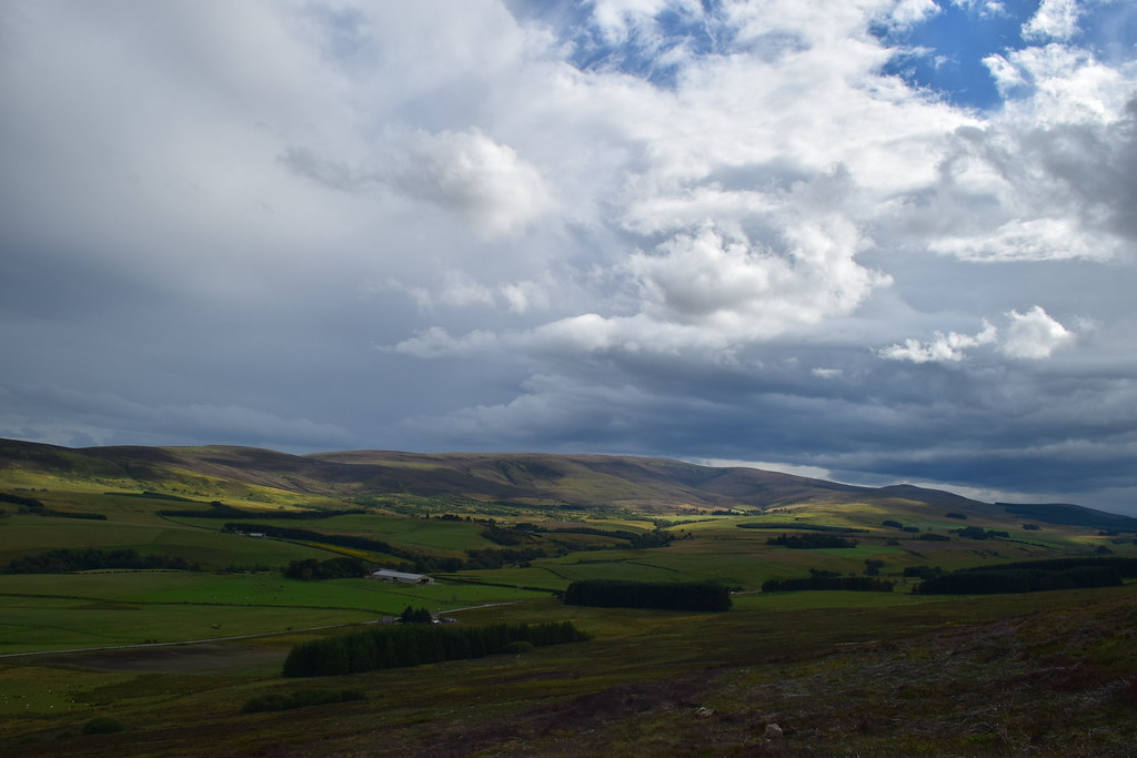
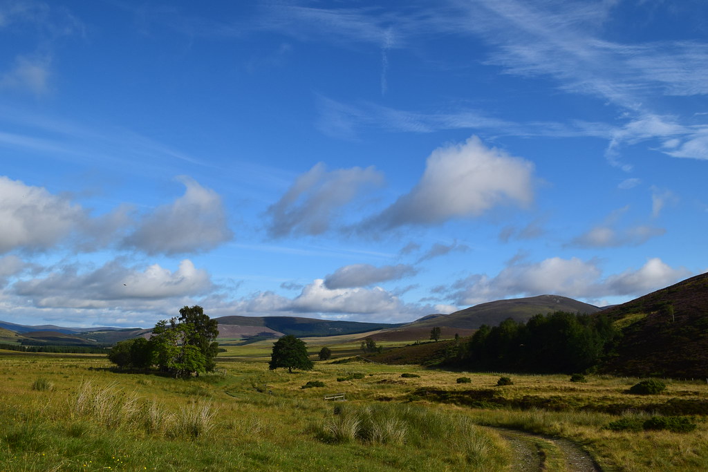
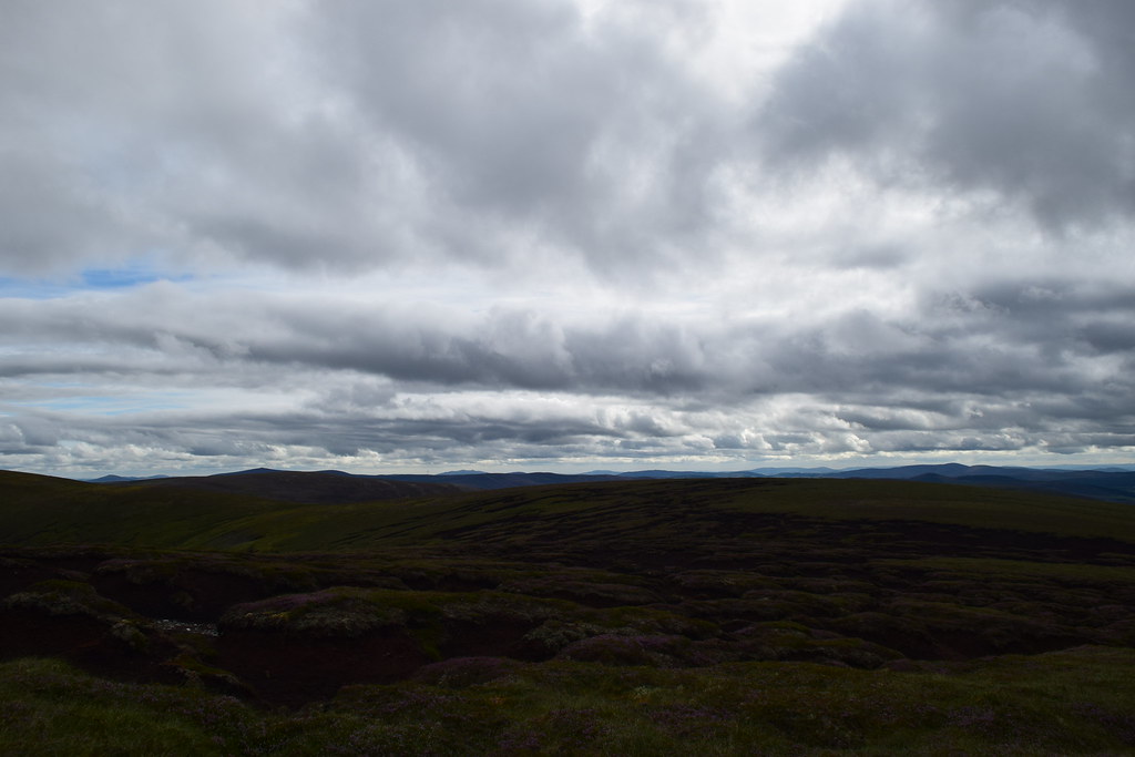
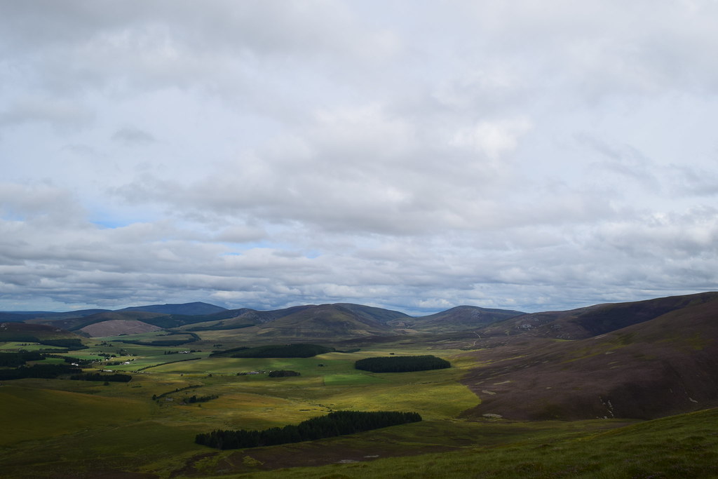
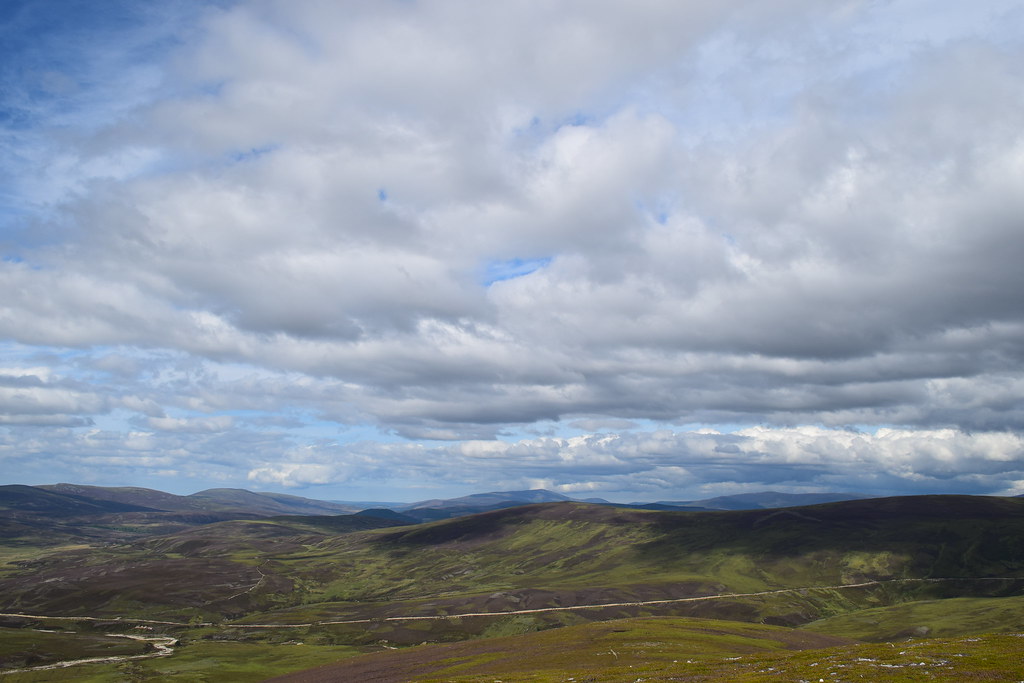
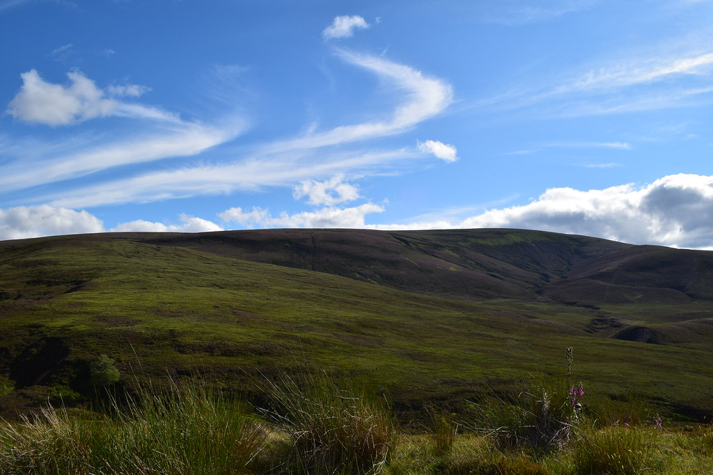
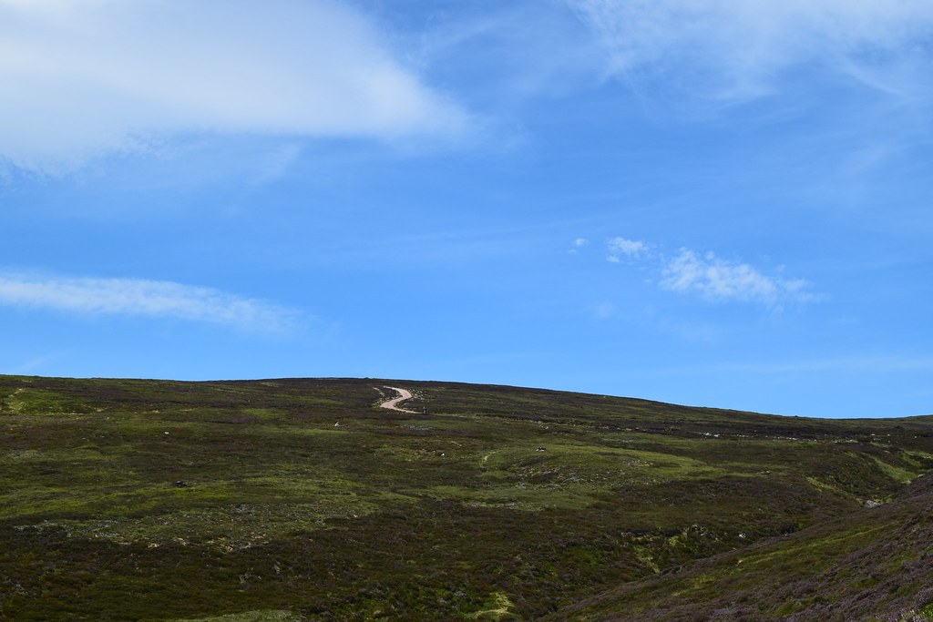
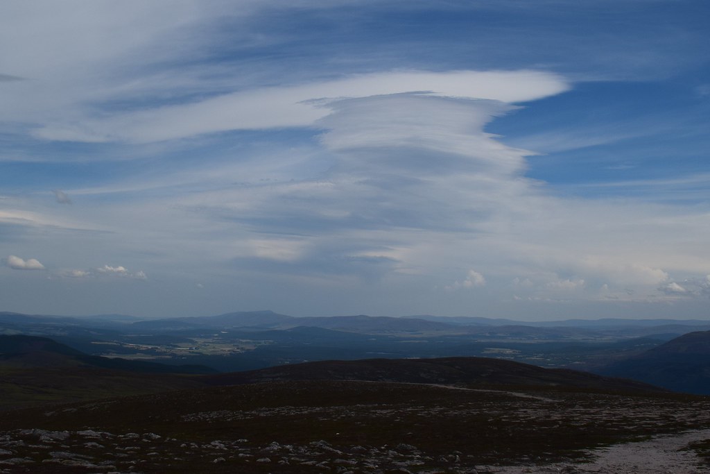
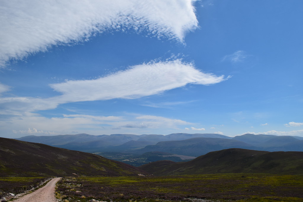
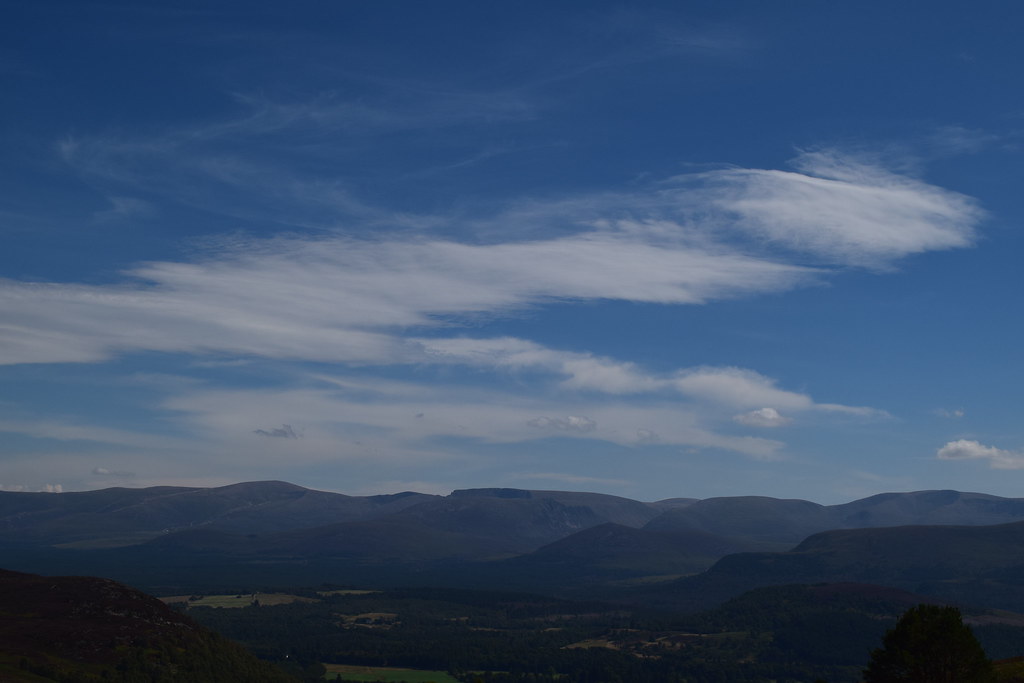
It was a gorgeous afternoon so I enjoyed the views for a bit before continuing – the track (now called Morton’s Way) led me past Blue Cairn, Shepherd’s Cairn and then Maiden’s Paps as it dropped down in zig zags alongside the Burn of Altavallie
Either I lost concentration somewhere around here or the paths didn’t quite match the map (I’m blaming the map
) but I ended going a little off-piste (yay more crashing through heather
) and jumping another fence before I ended up on the correct path
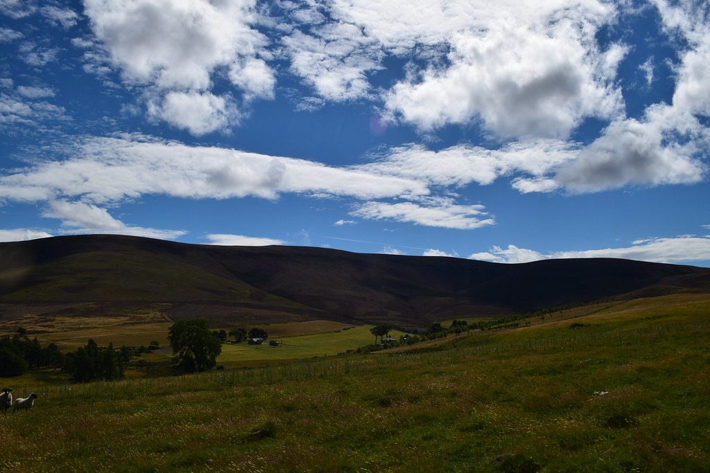
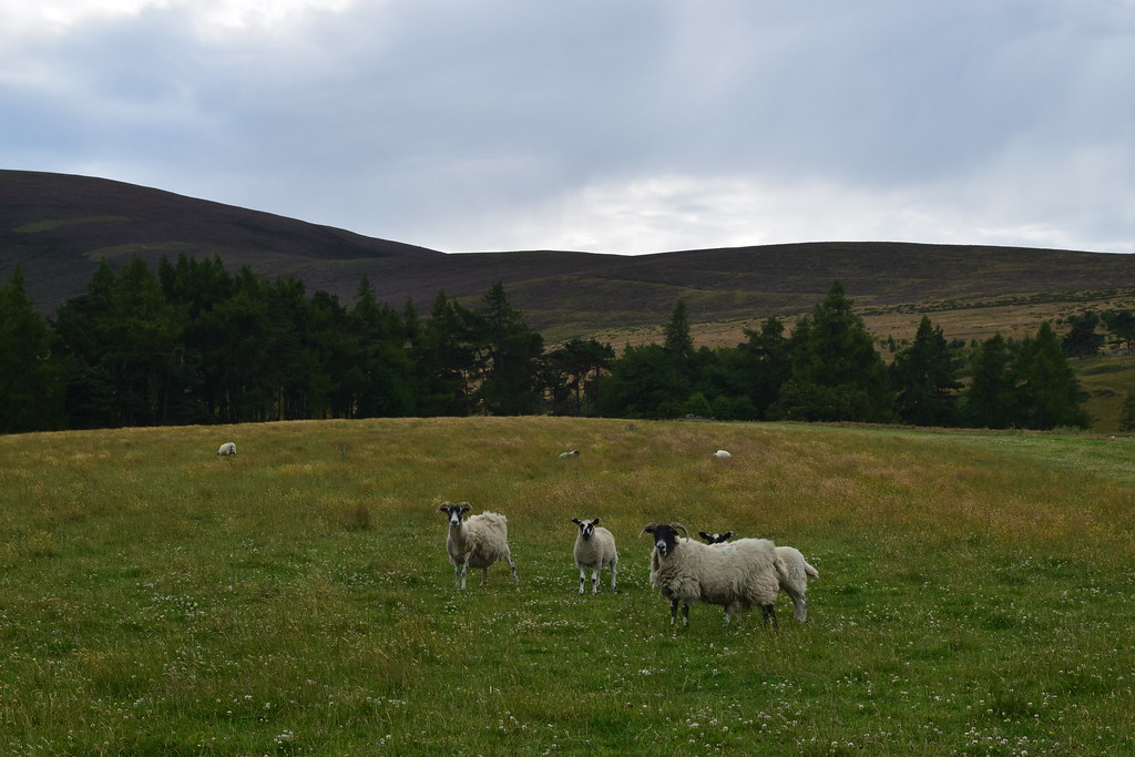
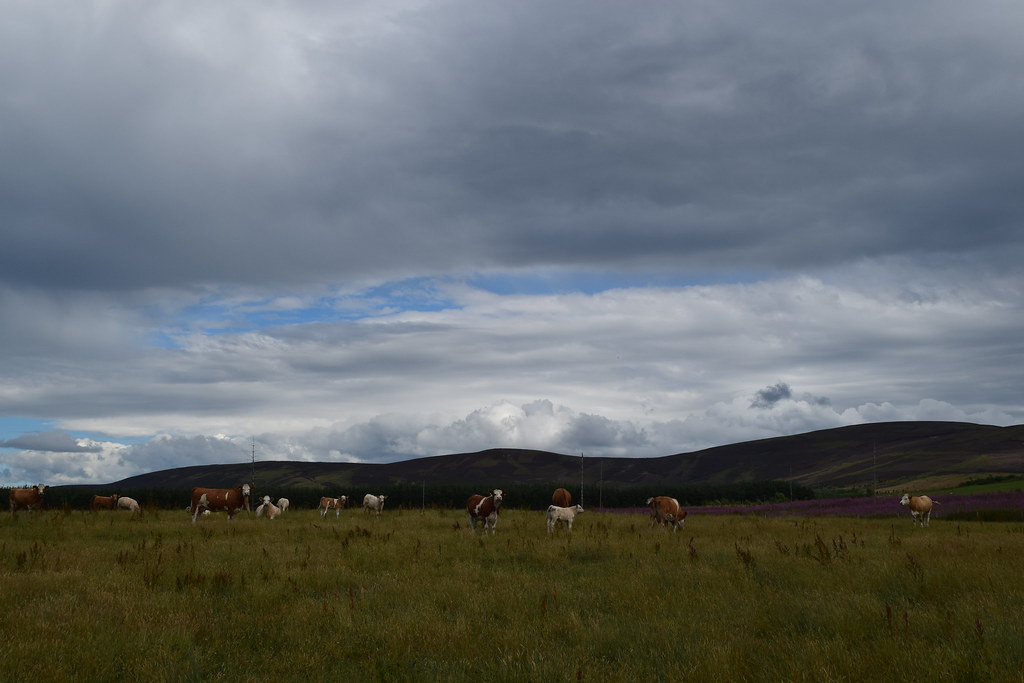
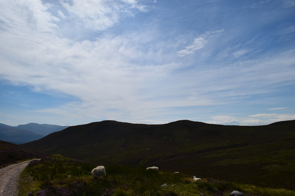
Under the watchful eyes of the locals
Looking back to Corryhabbie
A wee flypast, just for me
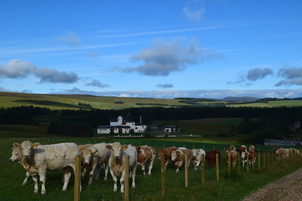
Fortunately the fords of Corryhabbie didn’t cause any issues in the dry weather and I met up with my outward route. Unfortunately someone had let cows into the field I had to cross. I don’t like cows; they’re huge and they look evil. I gave these ones a suitably wide berth

I arrived back at the car, fortunately unscathed
Ben Rinnes7.91km
555m ascent
2 hours 5 mins
After a quick bite, I drove a few miles further up Glen Rinnes to the Ben Rinnes car park. Funnily enough I’d just been reading a book where a crime investigation team discovered a body on Ben Rinnes (fictional, thankfully
) so it was interesting to see it for real
I headed straight off up the track – there were lots of bugs around so I didn’t hang about
so I was quickly up the zig zags and onto the ridge which gave me great views back to Corryhabbie Hill where I’d been a couple of hours ago
It was an easy walk stretching ahead of me – if Detective Inspector Macrae had got a transit van up here then it wasn’t going to be a problem on foot
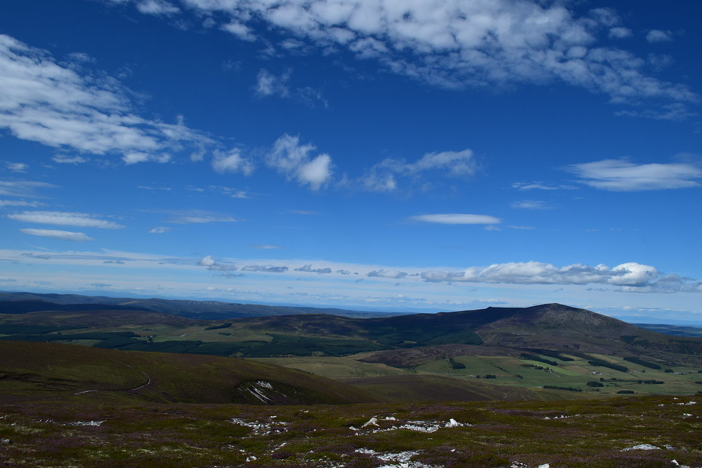
In fact, Ben Rinnes seems to be a grouse shooting hotspot as there were plenty of areas marked as “car parks”
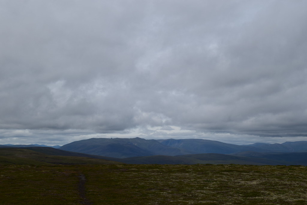
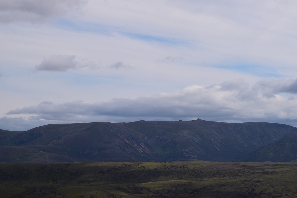
Towards the summit the gradient steepened and the rockier summit came into view
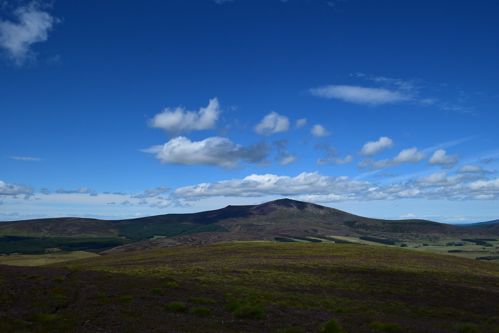
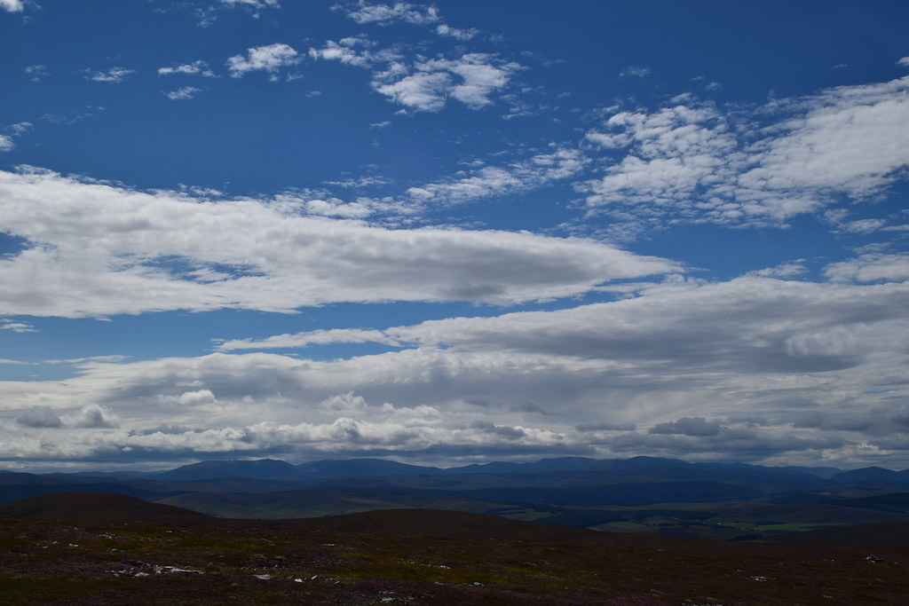
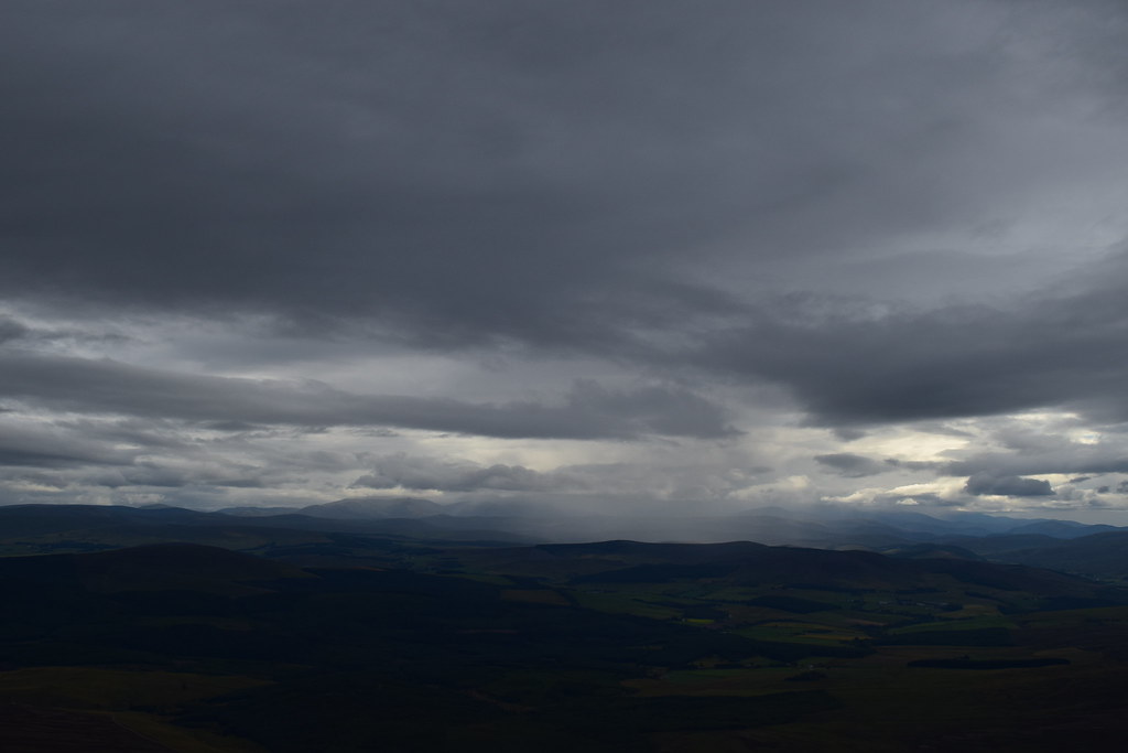
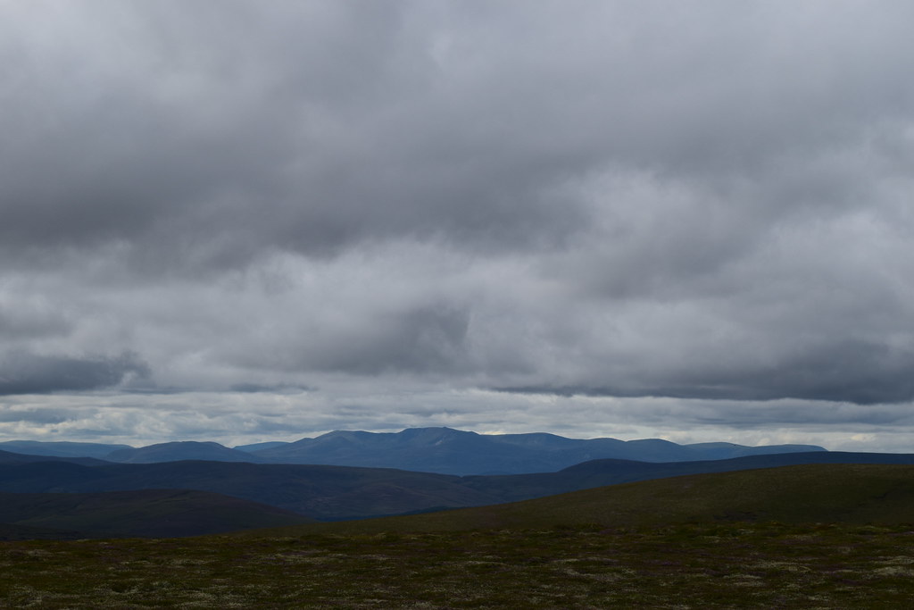
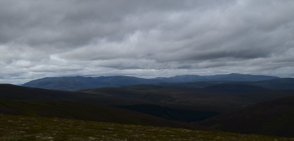
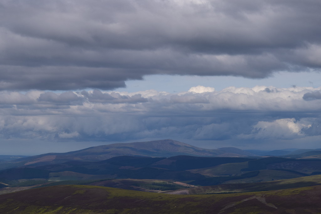
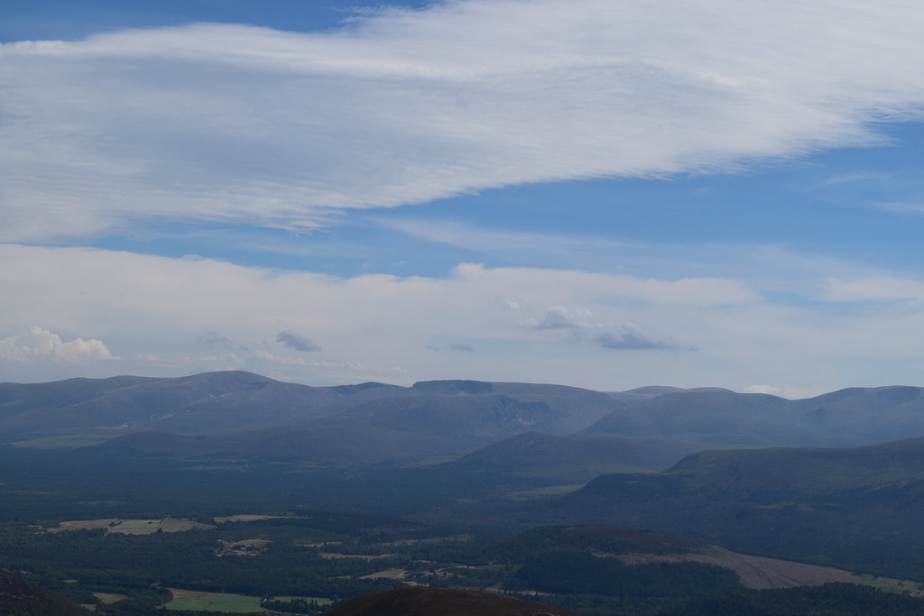
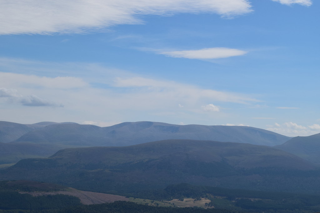
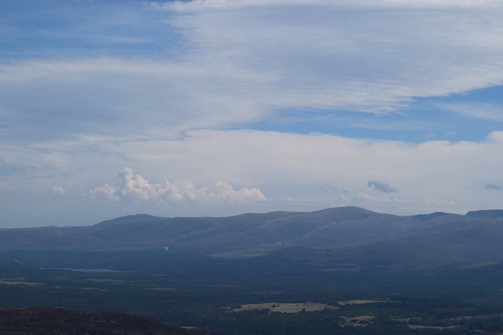
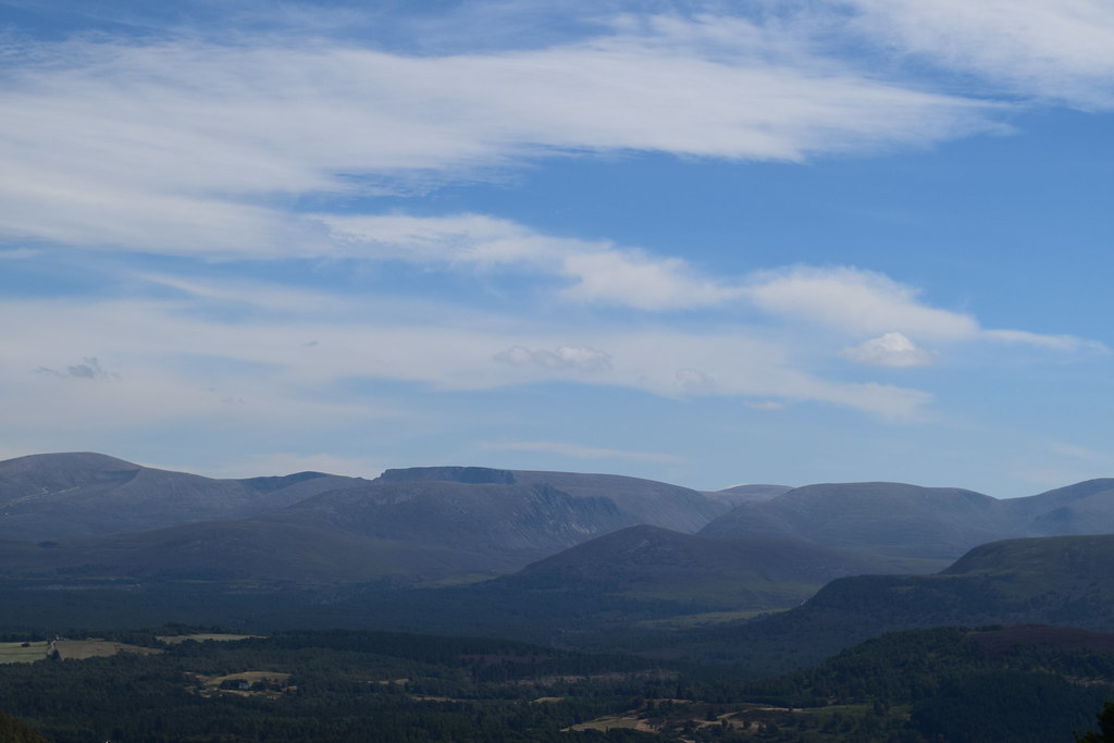
Reaching the summit, the weather felt like it was coming in but it was still pretty clear out towards Dufftown
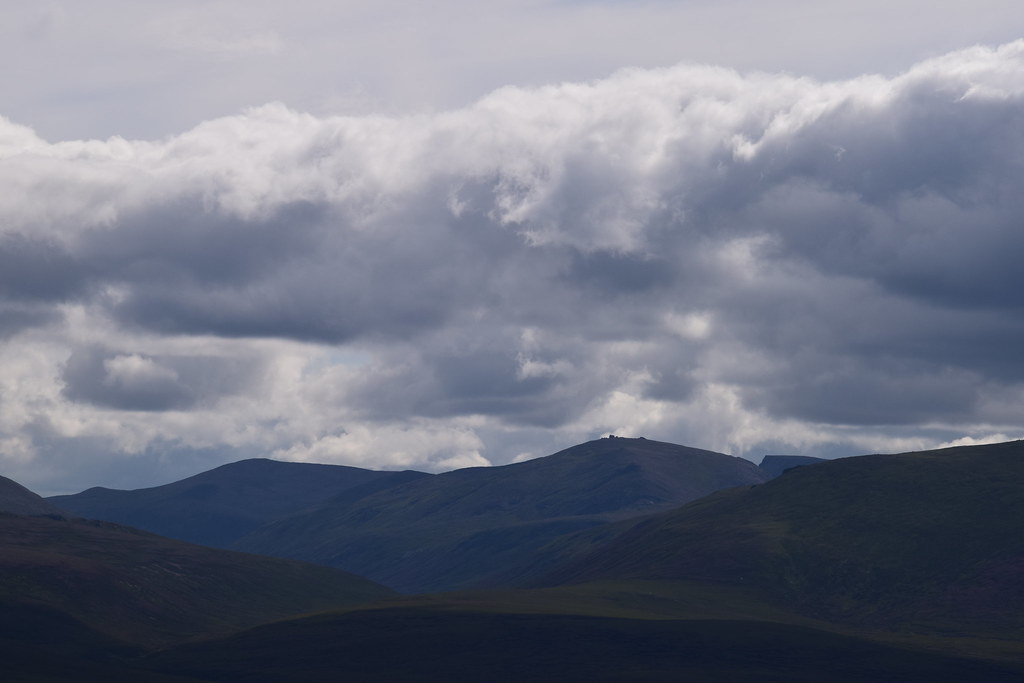
Corryhabbie Hill
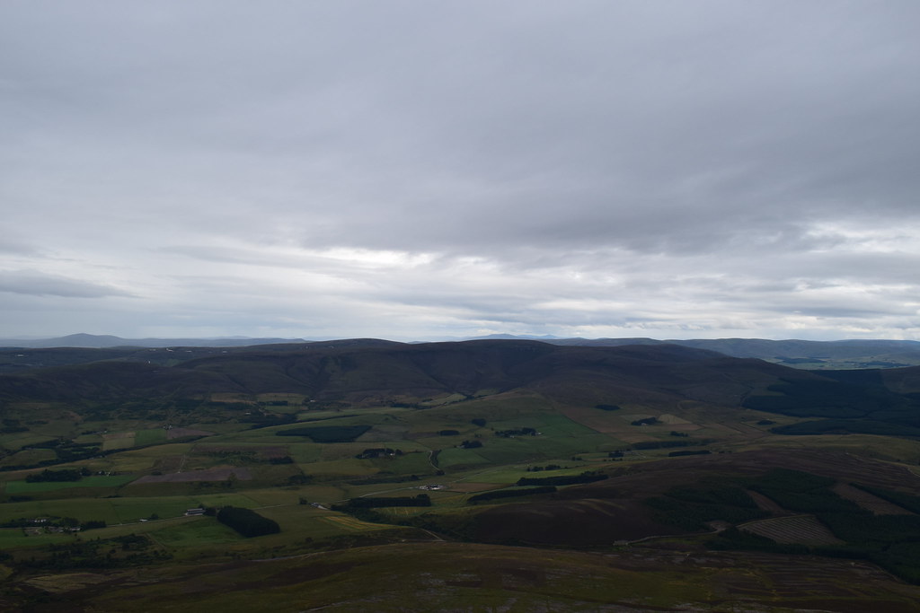
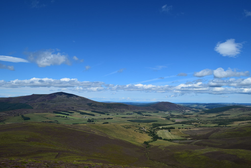
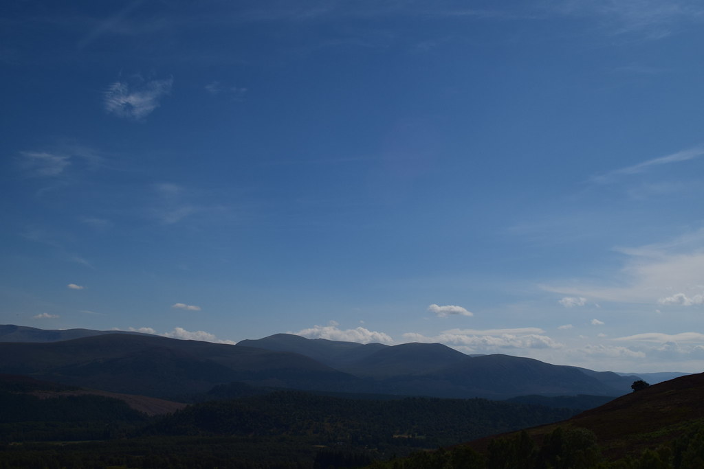
But South didn’t look quite so appealing
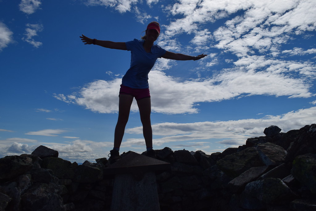
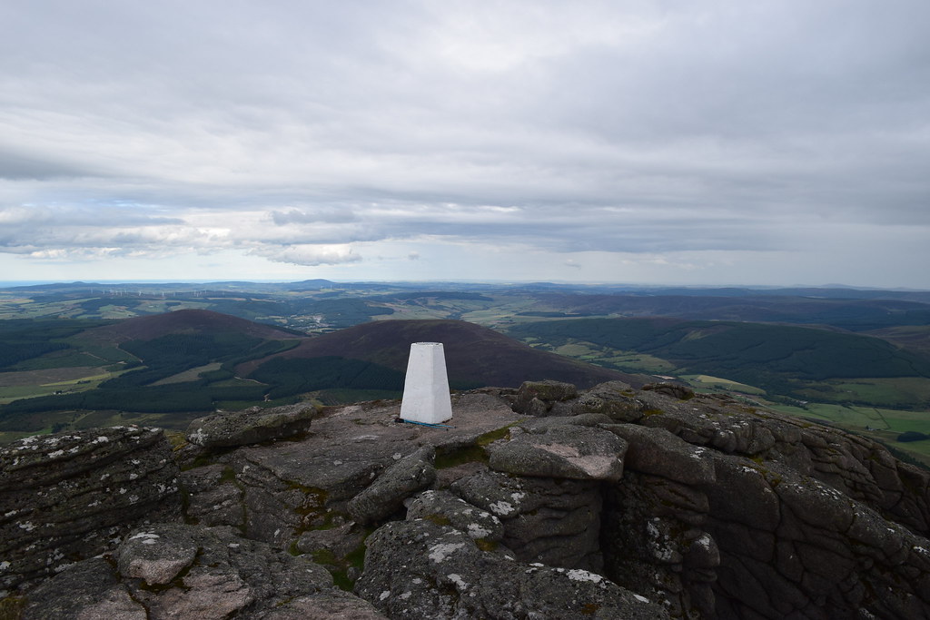
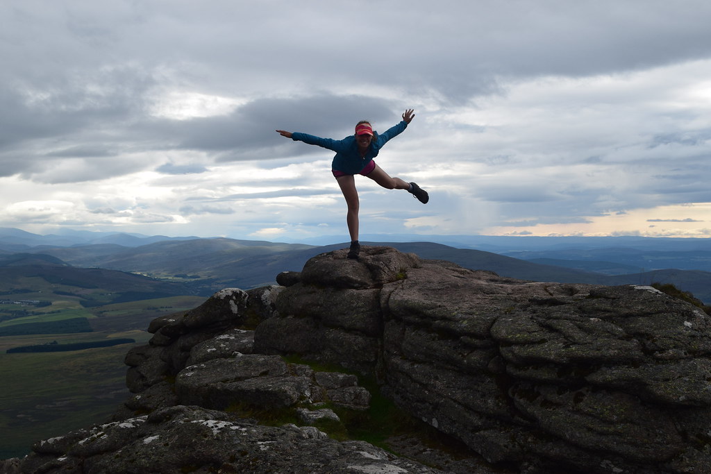
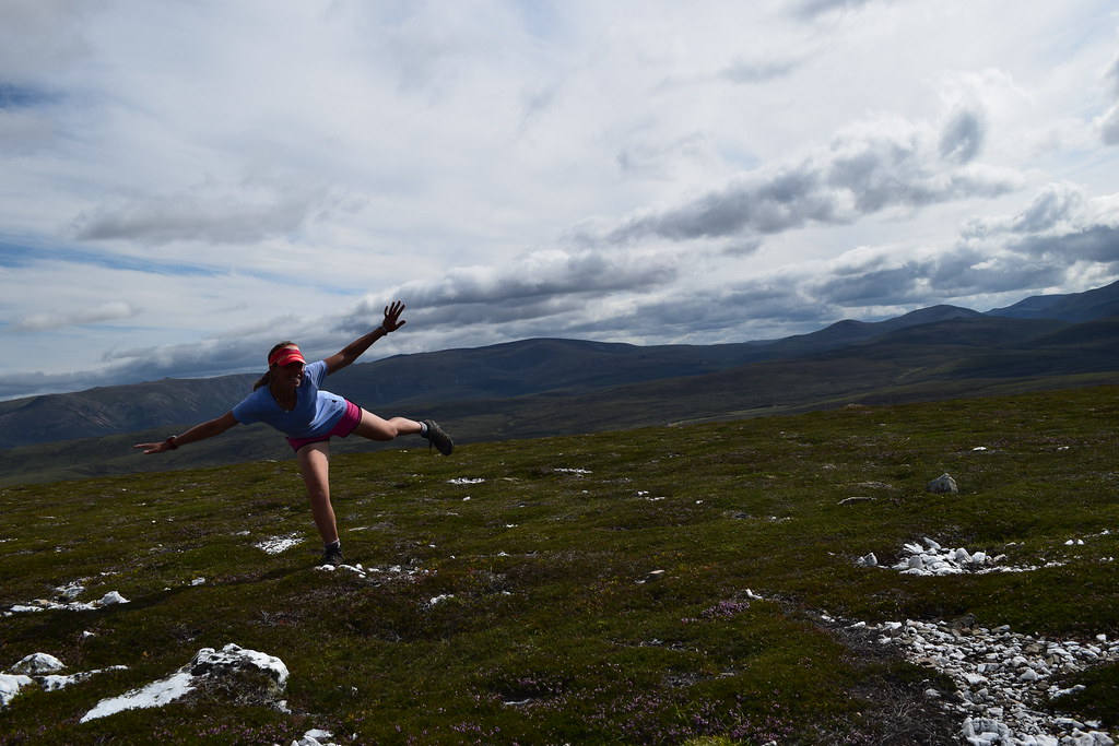
A hop skip and a jump (and a second attempt) got me a summit photo
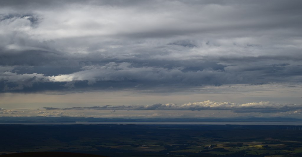
This must be the Moray Firth
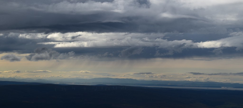
Inverness and a wind farm – definitely making some energy today
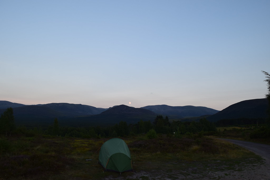
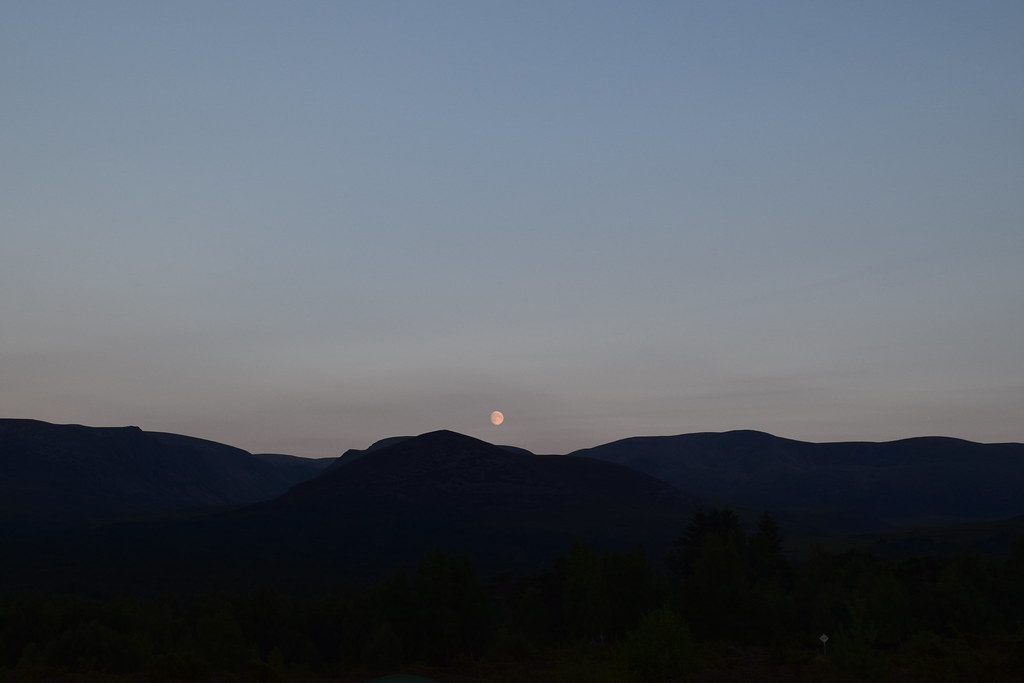
It was an easy walk back to the car – I had thought to make it a circular walk but it looked like it was about to rain…. And it was! I got back to the car just before the downpour started
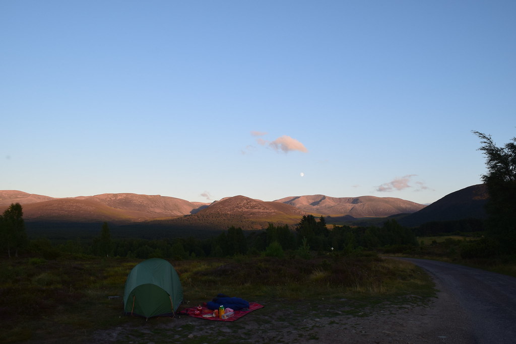
I found myself a camp spot near Chapeltown and escaped from the rain! A couple of hours later it brightened up and I went for a wander.
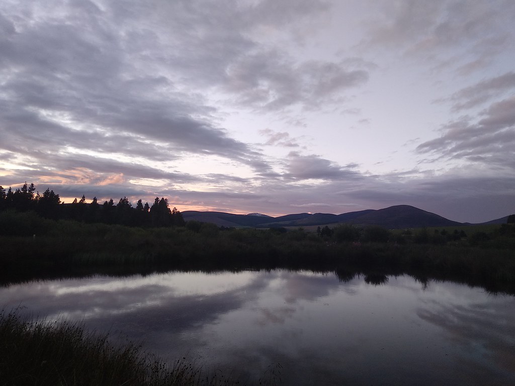
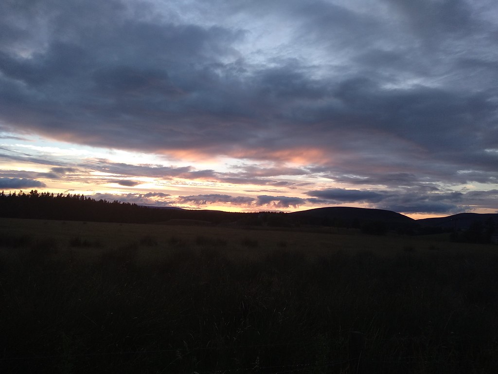
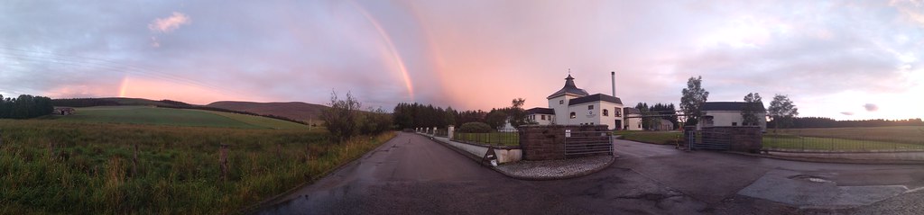
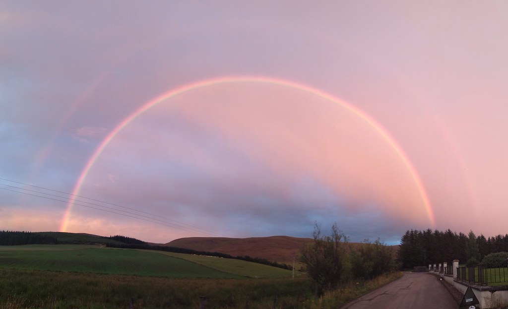
The beginnings of a…
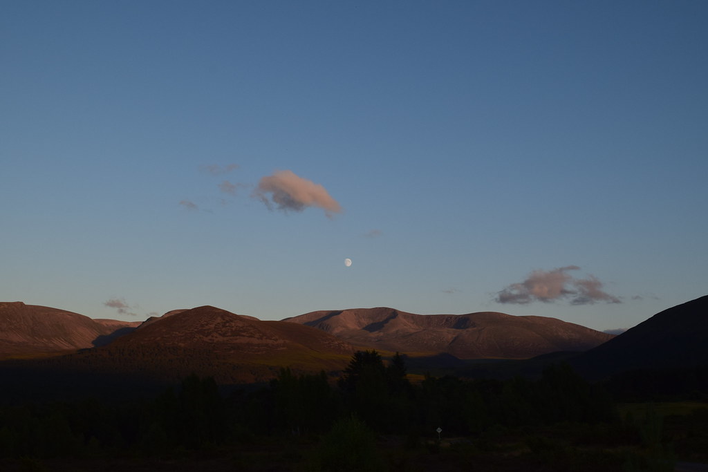
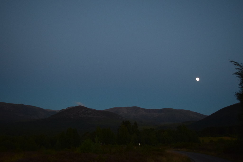
…beautiful sunset….
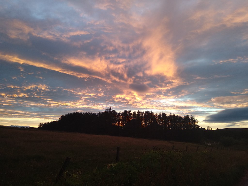
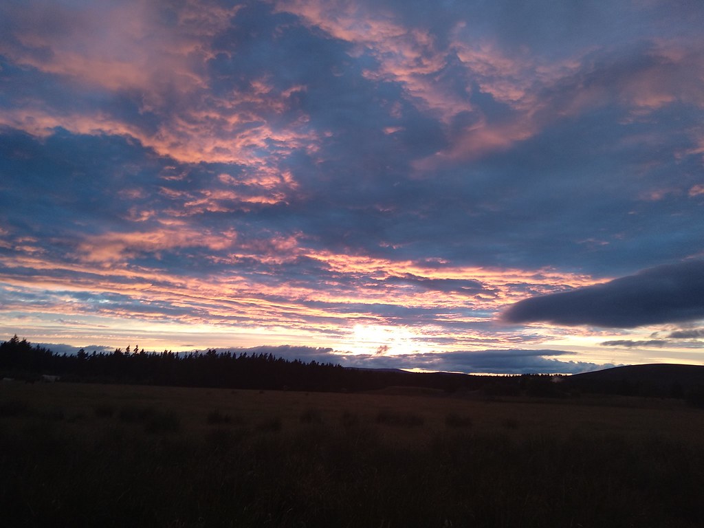
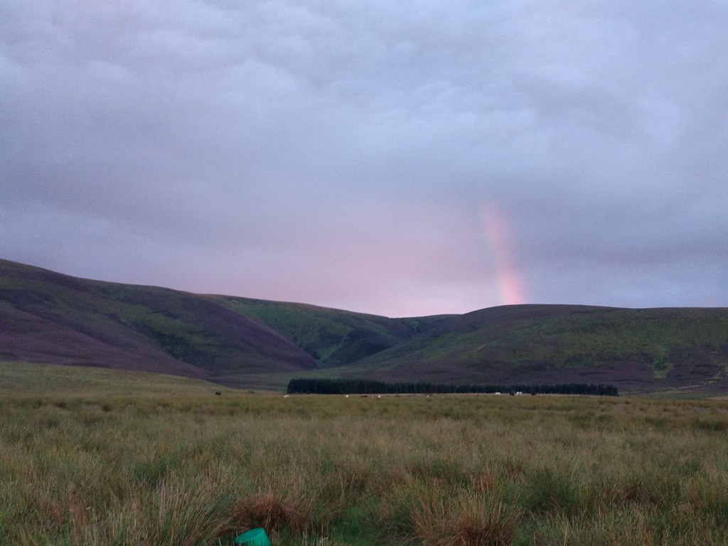
….and a double rainbow!!
 Tuesday 24th July 2018
Carn Mor (Ladder Hills)
15.22km
576m ascent
4 hours
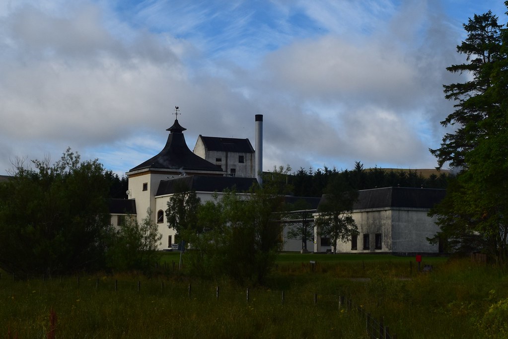
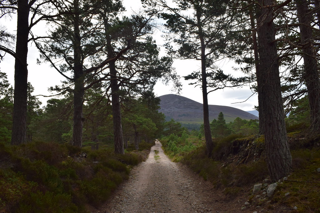
The rain from the night before had eased off and a beautiful morning dawned. I wandered down into the village past the Braeval distillery
Heading up the track I was on the Malcolm Gillespie whisky Smuggler’s Trail….nae smuggling today, honest. But the locals weren’t so sure. Ever get the feeling you’re being watched?
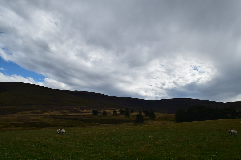
It was a lovely day for an easy walk as I headed for Ladderfoot
From here a path headed up the glen, following the Ladder Burn
Looking back
The rain overnight had made the heather damp and rather than being annoying it was actually quite refreshing in the warm morning sunshine
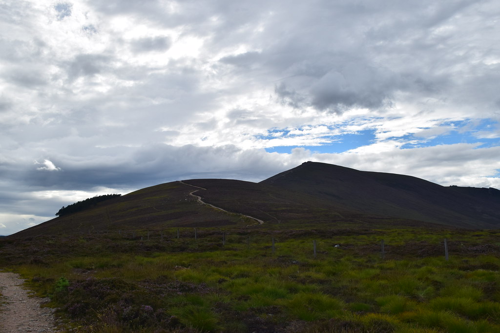
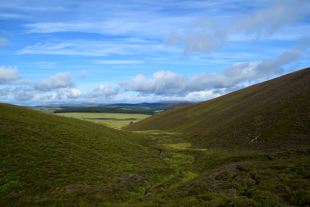
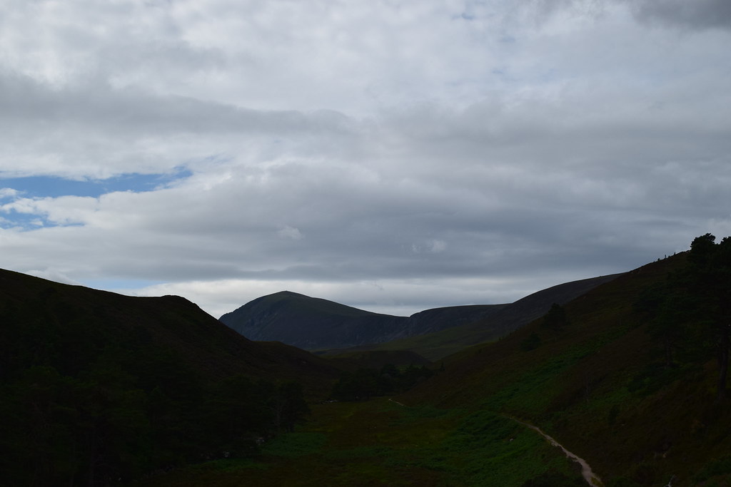
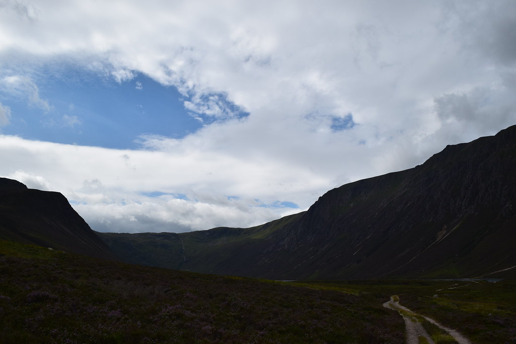
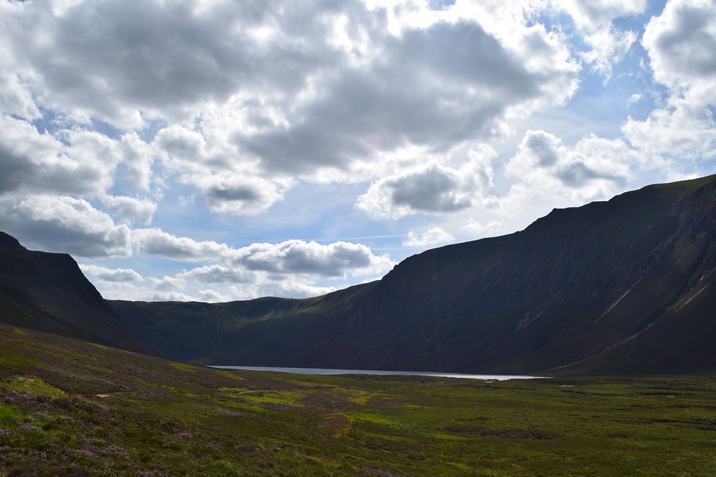
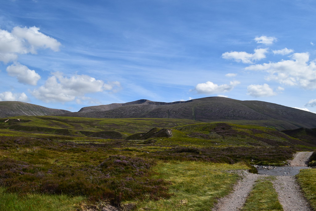
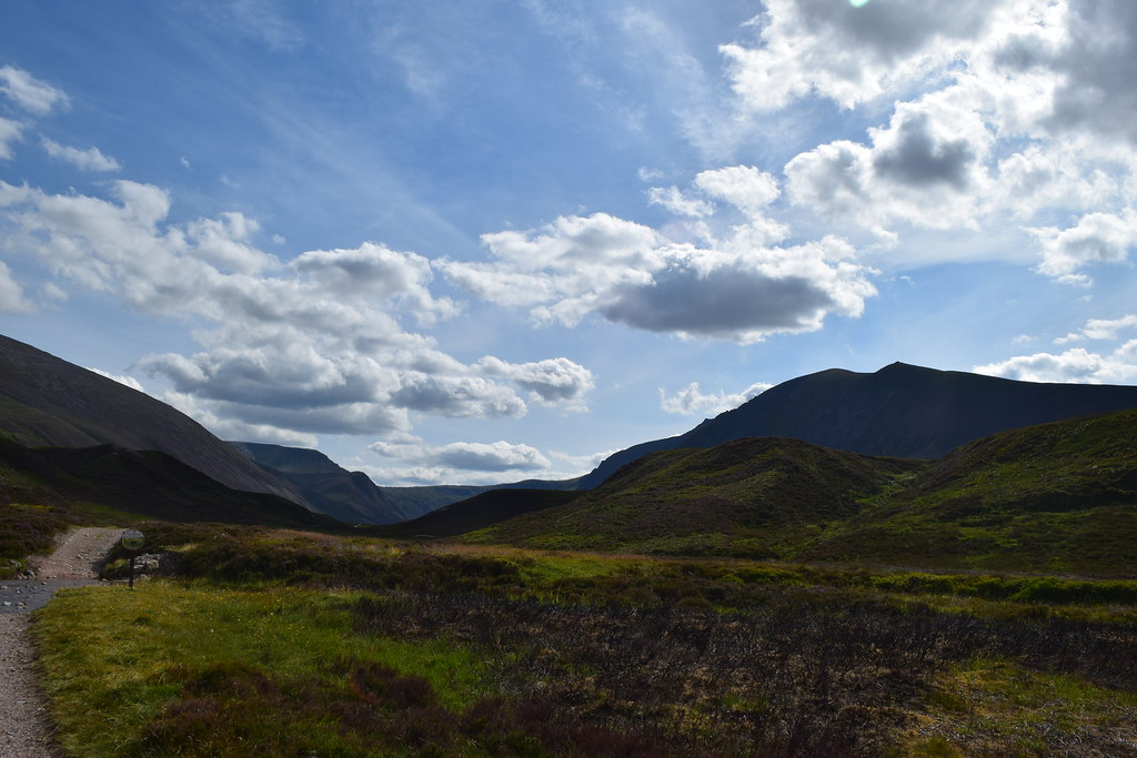
The last steep section known as The Ladder is what gives these hills their name, and this led me to the top of the Ladder Pass. A big wide bealach gave me some nice views
However….as I headed towards Dun Muir I was presented with this maze of peat hags
I survived the peat hags – in these dry conditions they are actually easier to walk on than some of the surrounding areas
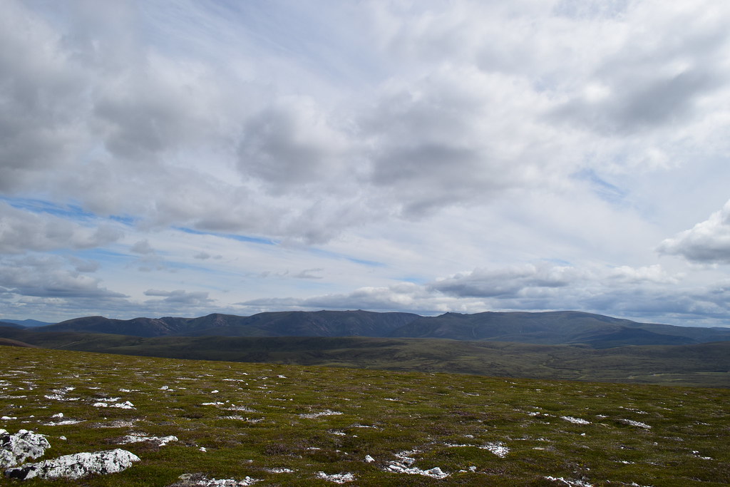
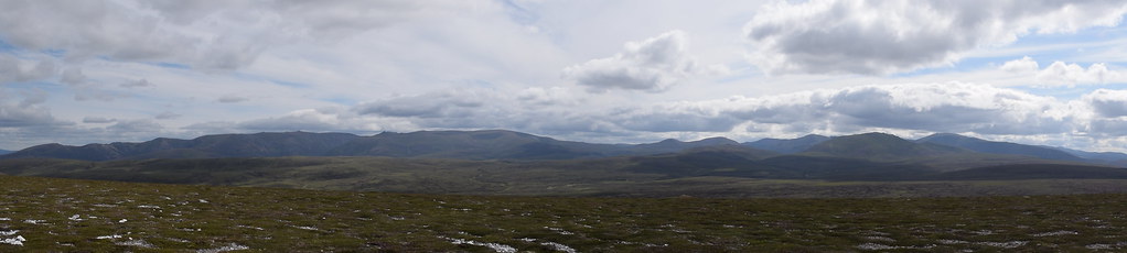
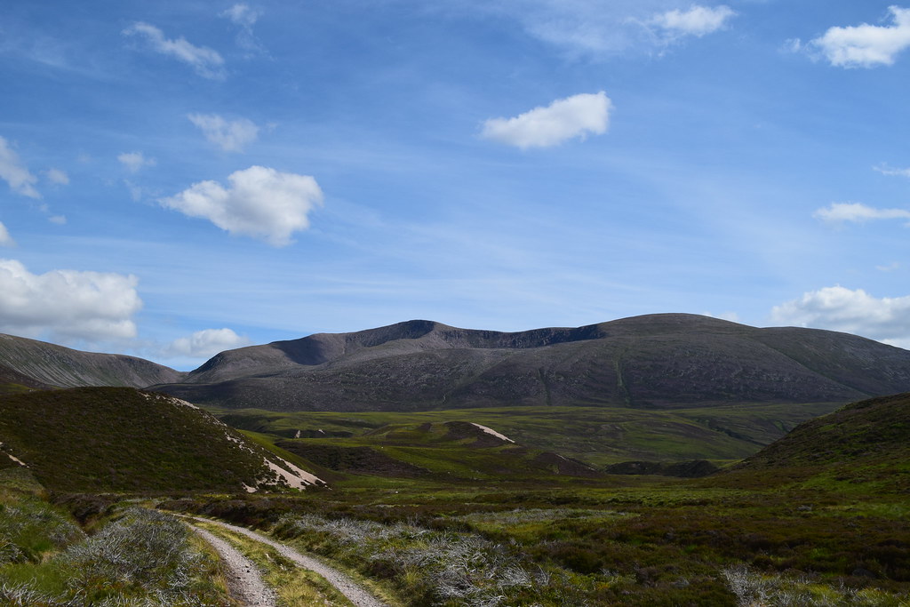
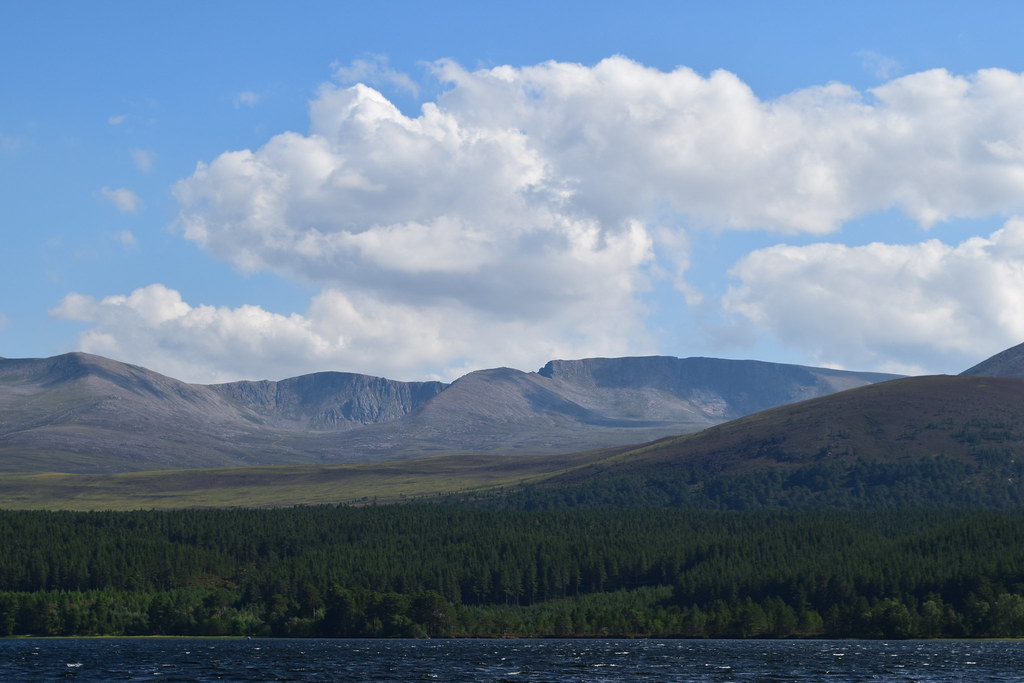
The final easy ascent to the summit of Carn Mor gave me some lovely views out towards Ben Avon
Cairn Gorm I think?
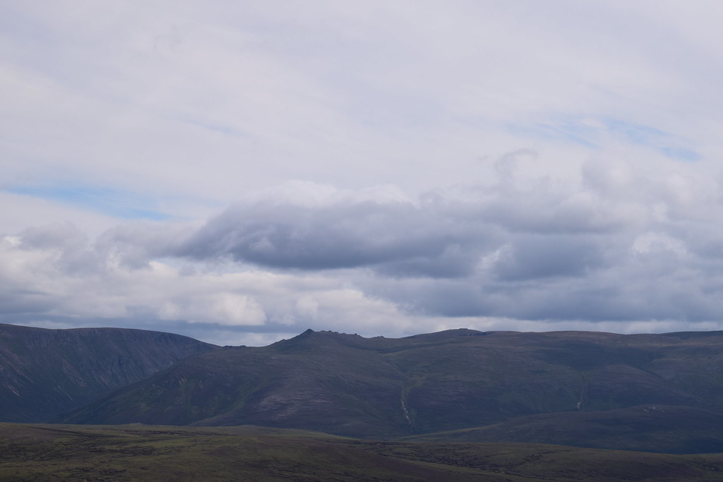
Corryhabbie Hill and Ben Rinnes
It was windy but I managed to get this without falling off
The Gorms
I continued along the ridge for a while, following bits of path and then fenceposts – it was almost like climbing Donalds
The views towards the Gorms were fabulous
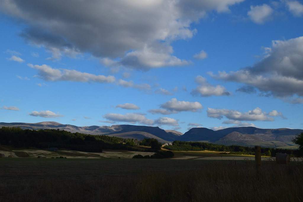
Chapeltown with Ben Rinnes in the distance
After a while I started to drop down, as it turned out it would have been easier to have waited a bit longer, but why do it the easy way
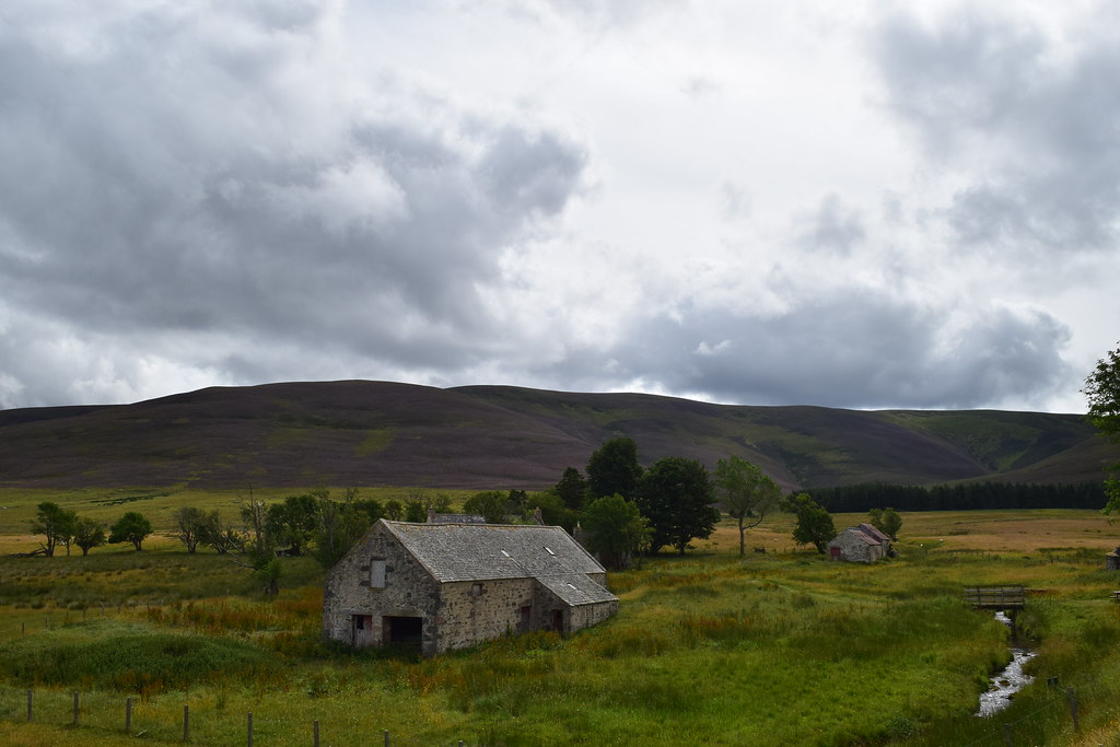
Looking back up my descent from the Clash of Scalan – apparently there are ruins and the remains of a corn drying kiln here. This may be the updated version
The college of Scalan – once a seminary, now a museum with Carn Mor behind
A few metres walk back down the track and I was back at my car. I took the now dry tent down under the watchful eyes of a herd of cows before heading off for my next adventure….
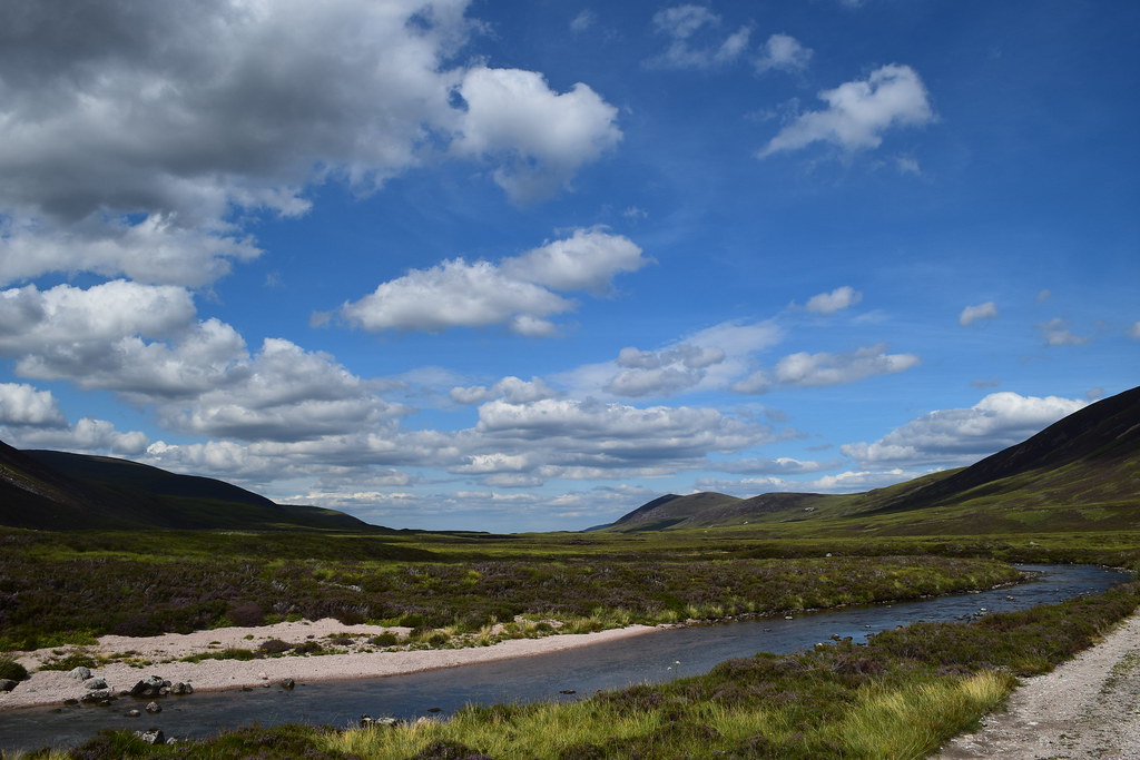
Geal Charn (Dorback)13.79km
585m ascent
3 hours 45 mins
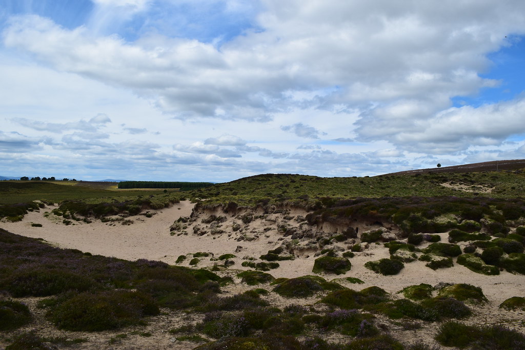
The weather got warmer and warmer as I headed for Dorback, and when I set off down the track shortly before Dorback Lodge I was wondering if I ought to sack it in and spend the afternoon on the weird beachy sand dunes
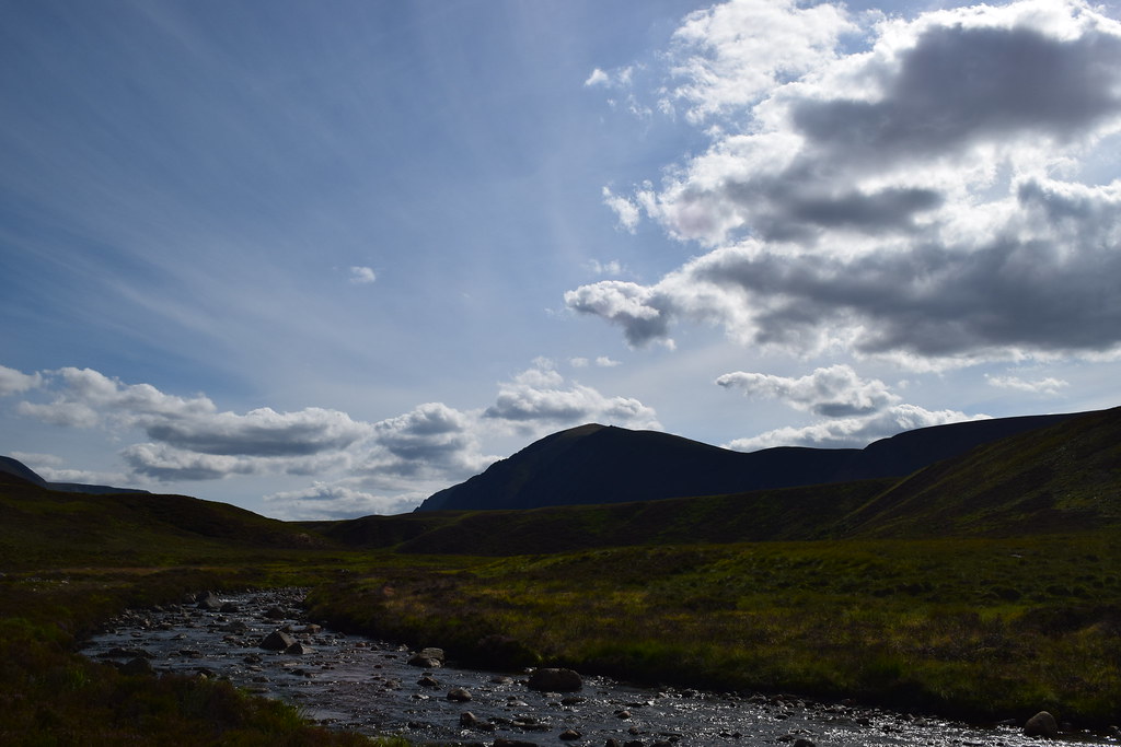
The track led me along the Dorback Burn before crossing it without incident. I could see my target ahead
It was an easy walk along the good track which led me along to the base of Geal Charn. I chose to ignore the WH route as it was heathermaggeddon, and instead headed more steeply up a less heathered section
As I climbed I could see back to the sand dunes near Dorback Lodge
Once up the steepest section I picked up a path and it turned into a nice route up, especially once I was out of the heather (did I mention I hate heather?
)
Looking back – I think that must be Ben Rinnes on the skyline
From here it was an easy wander to the summit of Geal Charn – the bits of quartz on the top possibly giving the hill it’s name
The Gorms – looking much closer now!
I think this is Meall a’ Buachaille, Bynack Mor and pals
Cairngormarama
Seeing as I’d carried up the big lens I had a closer look at Beinn Mheadhoin
Cairn Gorm
Meall a’ Buachaille
Ben Avon
Ben Rinnes I think
After enjoying the views and the sunshine for a while I headed off along the ridge, didn’t bother checking the map and ended up off-roading through horrible steep, deep heather, sliding down some steep river banks and climbing back up to the track I ought to have dropped down onto. Whoops
Looking back…. Doh
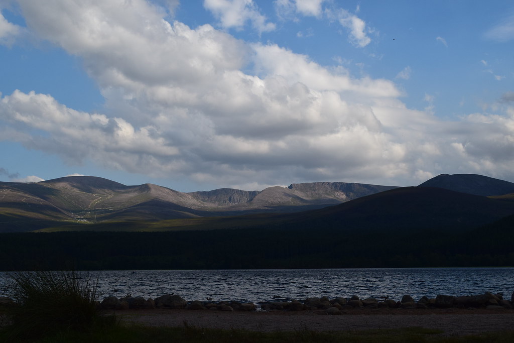
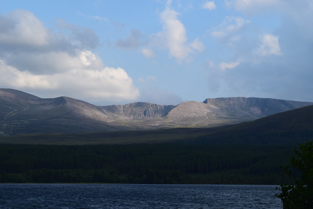
From here it was a long hot walk along the track to Dorback Lodge where the barking dogs sounded like the hoards of hell had been released
Back at the car it was time for a change of clothes before heading towards Aviemore, stopping for a wee photie on the way
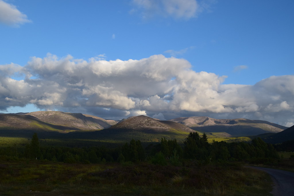
I was sort of hoping for a shower but all the campsites were fully booked so I had to settle for this view….what a shame
[
Where I enjoyed a relaxing evening and a good sleep

 Wednesday 25th July 2018
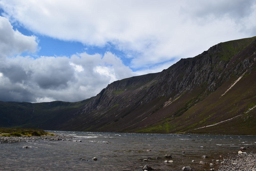
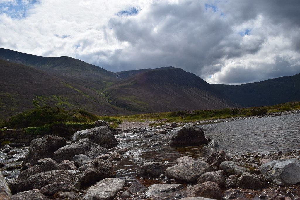
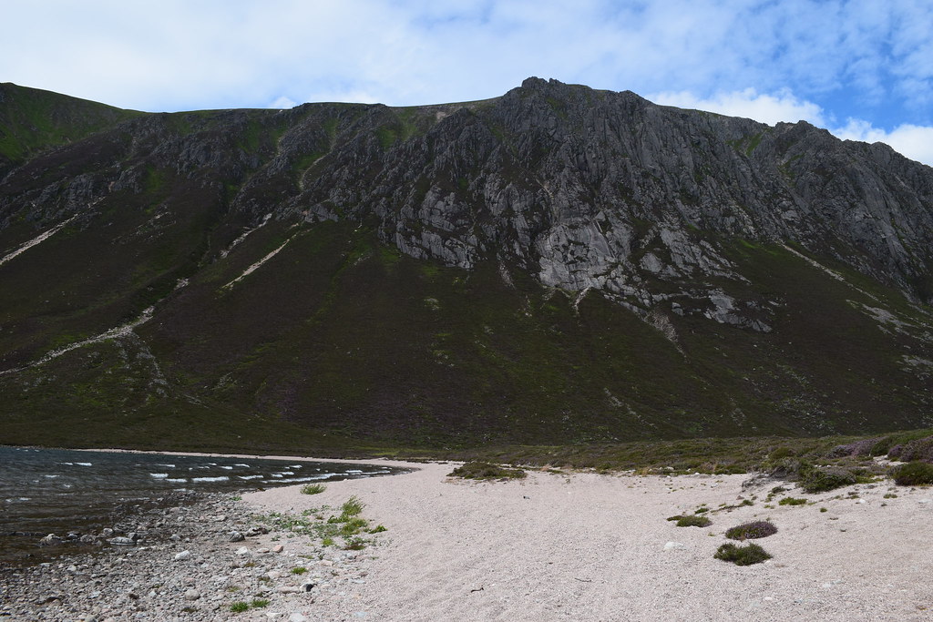
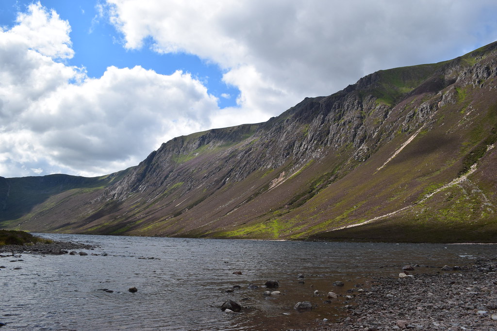
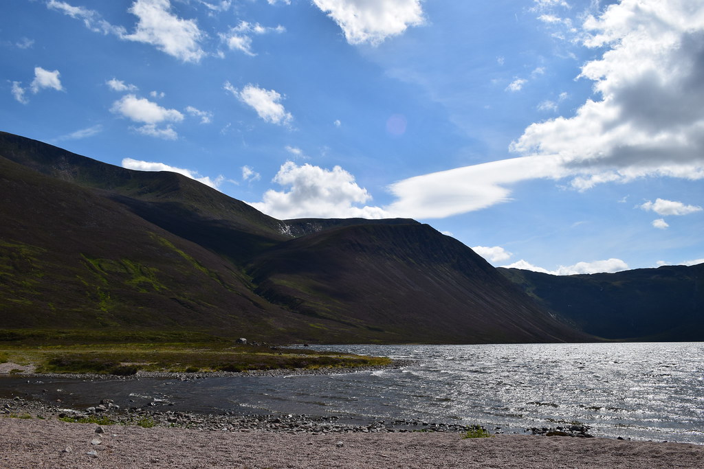
Loch Einich
21.76km
350m ascent
4 hours 50 mins
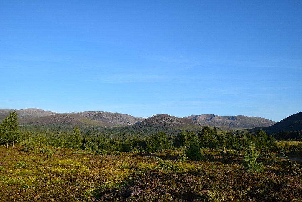
It was shaping up to be another belter of a day, so I had an enjoyable breakfast before setting off through the forest
It was an easy walk, but hot work
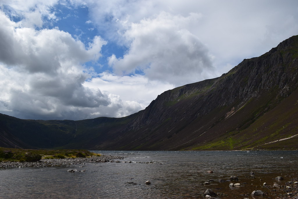
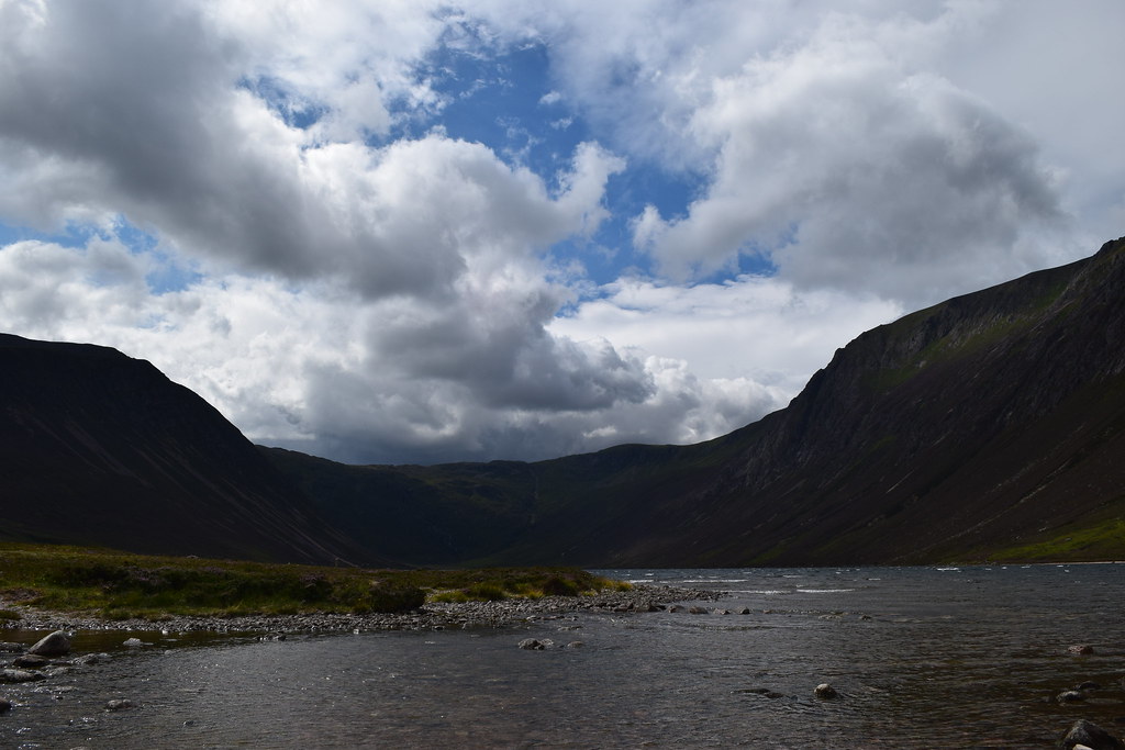
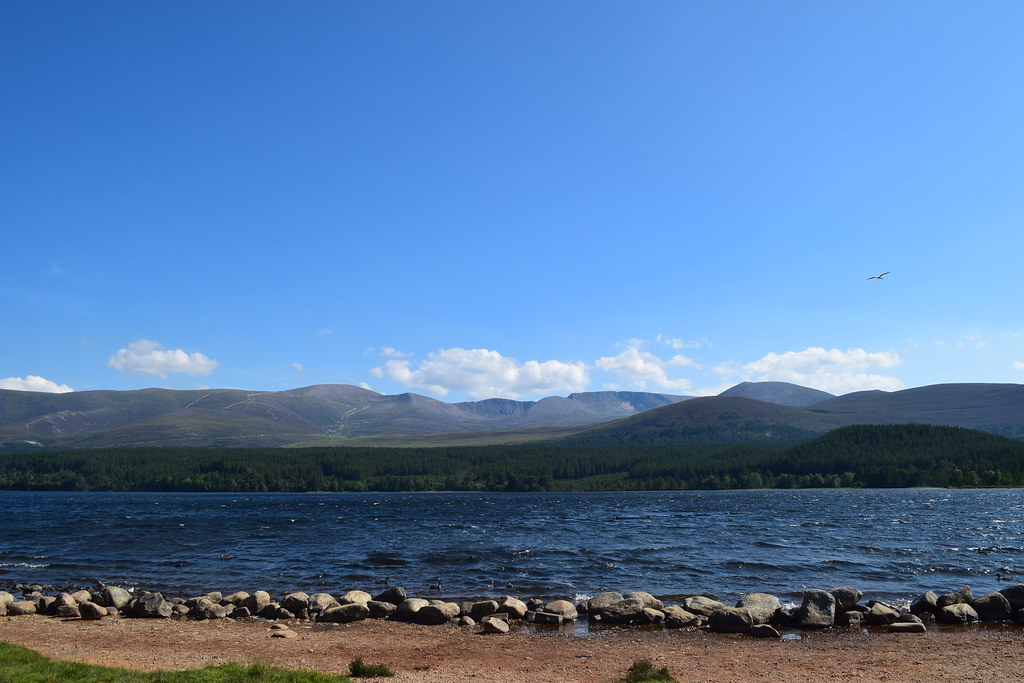
The views were awesome and I was enjoying being in such magnificent surroundings. As I left the forest I was hit by the wind – it was pretty blowy
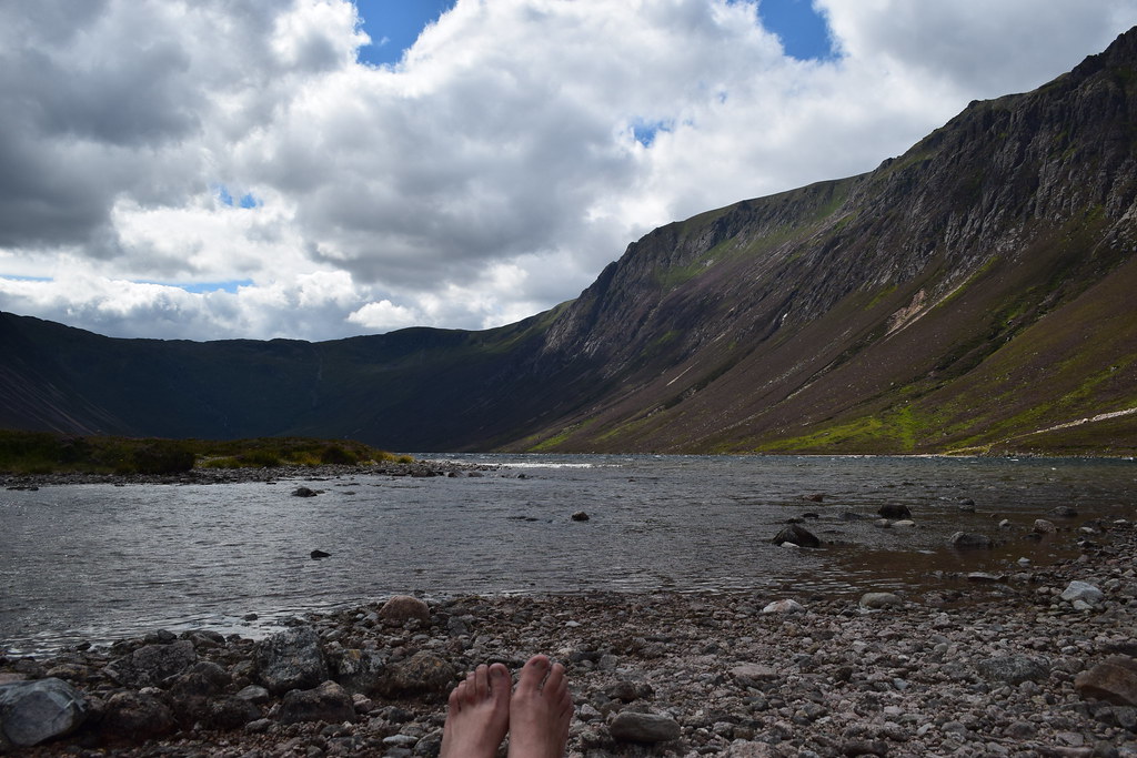
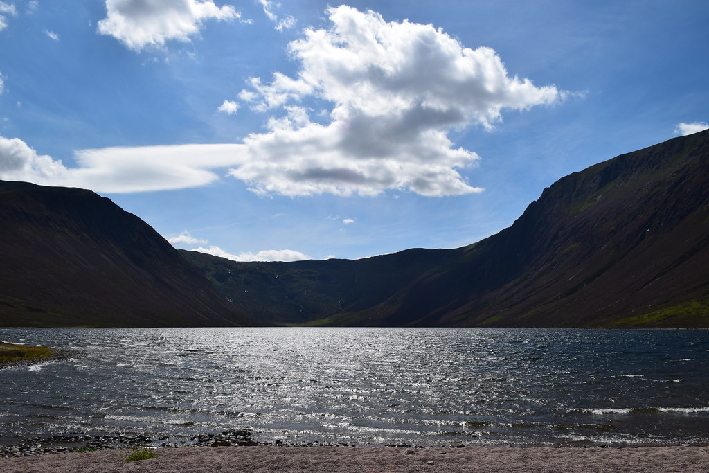
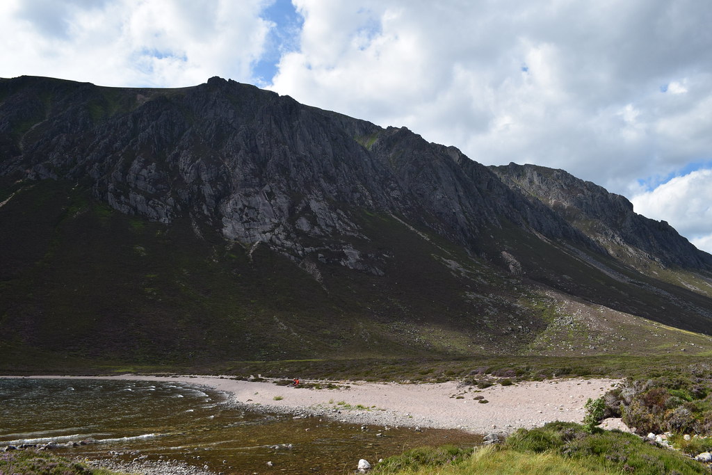
As I approached Loch Einich I met Dave who turned out to be great company for a while

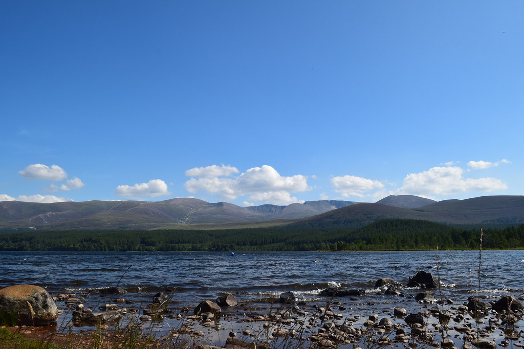
Although I had initially thought to head up to the plateau and back over Sgor Gaoithe, it was such a gorgeous day I thought I’d sit down at the Loch for a while and rest my knee which had niggled on the way up
Dave headed up the path onto the plateau as he was heading for Braeriach, and I found myself a wee spot on the beach
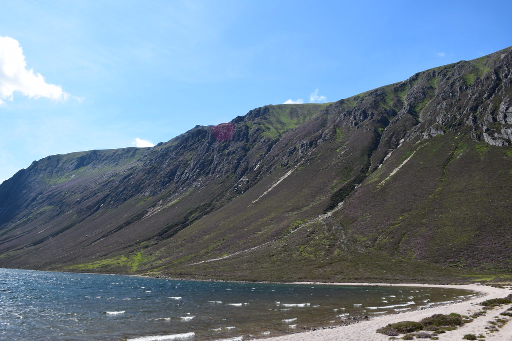
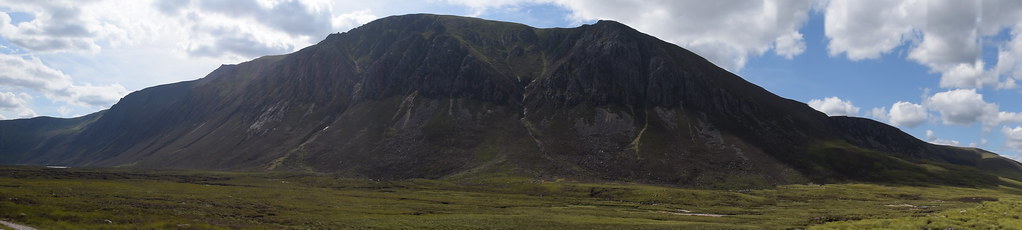
Coire Dhondail
Buttress number 3
Buttresses 4 & 5
I realised fairly soon that I wasn’t going anywhere
Throughout the afternoon the wind dropped and the sun became even warmer
Ahhhh summer
During the afternoon several folks passed by for a chat and I just enjoyed having time to sit around in such stunning surroundings!
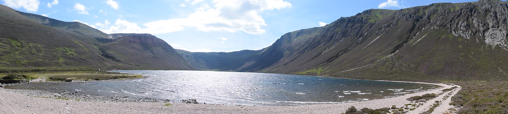
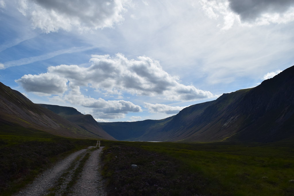
Eventually I figured I could get going…looking back to my idyllic spot
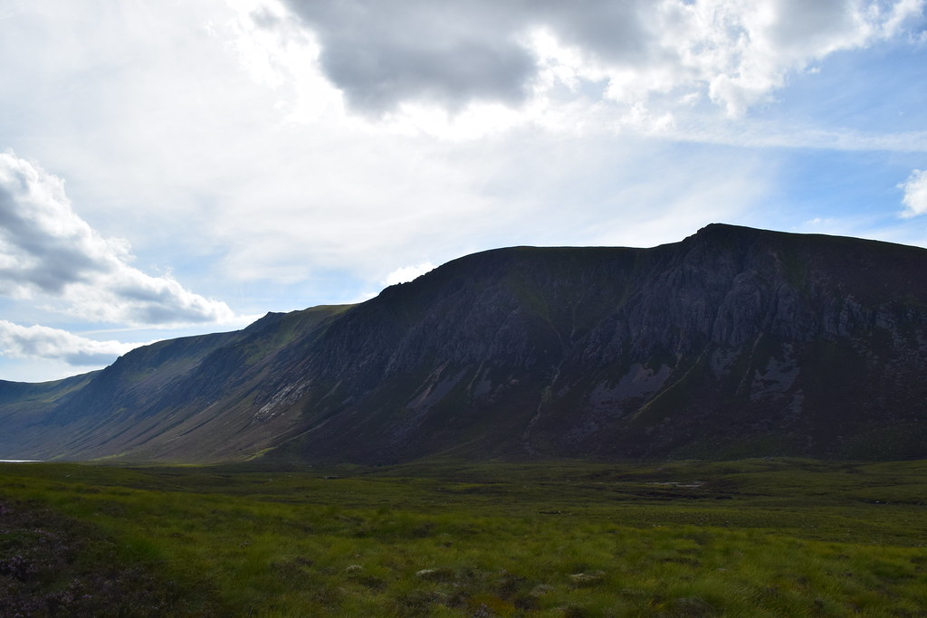
Looking back down Gleann Eanaich
Looking back to Loch Einich and Sgor Gaoithe
Sgor Gaoithe
Braeriach
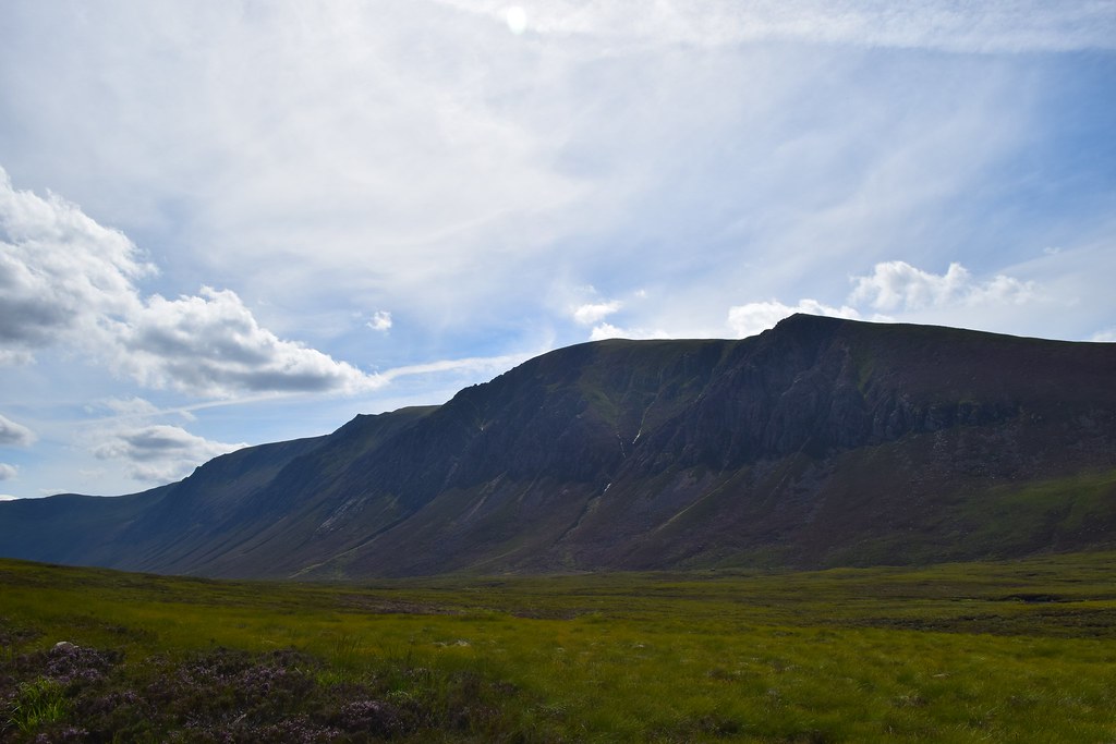
Looking back to Sgor Gaoithe
Braeriach again – just stunning
It was hard to imagine that it was only just over a year ago that I first ventured into the Cairngorms as I’d thought them uninteresting lumps. I’ve definitely fallen in love with them now
Back into the forest I had to climb up again….
Another gorgeous evening followed – as I was sat eating the dinner and enjoying the sunset who walked past but my pal Dave from earlier! He had enjoyed a great day up on Braeriach.
 Thursday 26th July 2018
I awoke to another beautiful morning – I had promised myself a day of rest so I had a leisurely breakfast
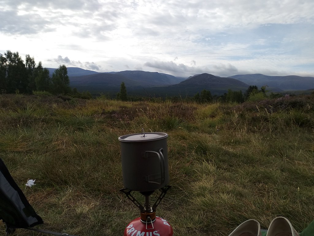
After that I cycled into Aviemore for supplies before a relaxing afternoon reading, eating and falling asleep and getting sunburned. Whoops
Friday 27th July 2018Geal Charn Mor
12.23km
601m ascent
3 hours
I had a lazy start but finally put away a gloriously dry tent before heading across the A9 (a nightmare even in the middle of the day
) to Lynwilg.
It was incredibly hot so I decided to travel super light; probably also something to do with my sunburnt back being really sore
What an idiot
It was an easy track past Alltnacriche where I was disappointed to find no cakes left next to the wee honesty box
and I climbed easily and steadily upwards.
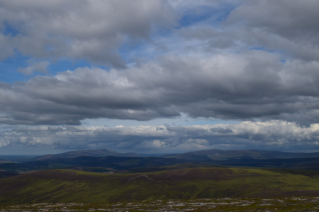
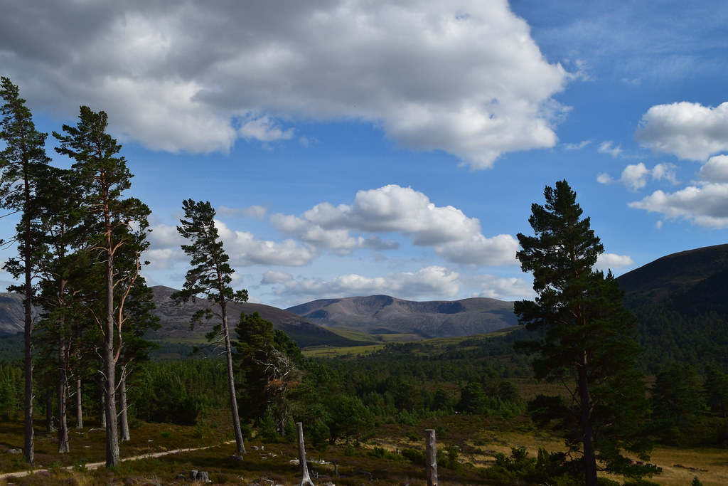
It wasn’t long before I was out of the trees and beginning to get views back the way – a wee bit hazy but still impressive
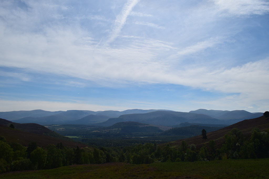
An Sguabach ahead
The long and winding road
As I gained height I could see the ridge that could be my descent route…it was looking very heathery
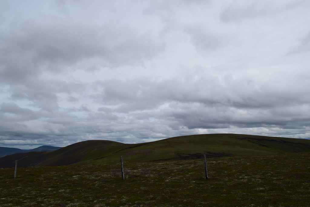
I reached the bealach where several paths seemed to meet. The track continued onwards but I took a left up a rougher but still good path towards Geal-charn Mor
I passed two cyclists fixing a flat tyre….glad it wasn’t me for once, I continued over the stile before being blown around as I reached the summit.
The Gorms
Ben Rinnes
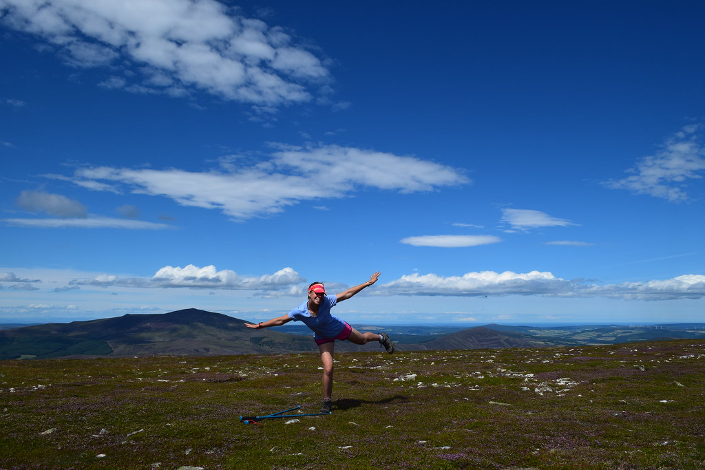
It was a bit windy but I managed it first time
The wind was actually pretty welcome as it had dropped the temperature a little

I sheltered behind the trig point to eat some food and enjoy the views
Braeriach
Loch Morlich and Cairn Gorm
Eventually I decided to get going – heading back down towards the bealach before making a decision about my route choice on the way down. Once I dropped off the summit the wind dropped and I was baking again…I didn’t really fancy filling my boots with heather, again
so I made an uncharacteristic decision to head back down the same way. I was saving myself for the weekend

The views were awesome – the haze had gone and the Gorms looked magnificent
I met a big load of cyclists on their way up. I stopped for a nice chat (we were both hiding in the shade for a few minutes
)
Back at the car I had a quick change out of my soaking wet clothes before heading for a chilled out few hours at Loch Morlich (in the shade
)
After a small inconvenience where my battery died and I had to get rescued by a friendly family in a campervan, I shopped for supplies in Aviemore before picking up Malcy –
we were going to Rum!!
