free to be able to rate and comment on reports (as well as access 1:25000 mapping).
A relaxed start saw me driving up to Cock Bridge and parking near the 16th century Corgarff Castle. It was a gorgeous morning but very windy, even at the car!
This will never stop being funny


I set off up towards the castle where there were plenty of folk milling around. The castle’s last military use was to control the smuggling of illicit whisky between 1827 and 1831 – good job I’d left my hip flask in the tent


Past the castle I must have missed the path as I ended up climbing a fence and I was already into long grass
However I did pick up a path almost straight away which led me down onto the track that I was supposed to be on


I followed the track around Carn Oighreag which brought me to the high point. I then left the track and headed into the heather and bog towards Brown Cow Hill.

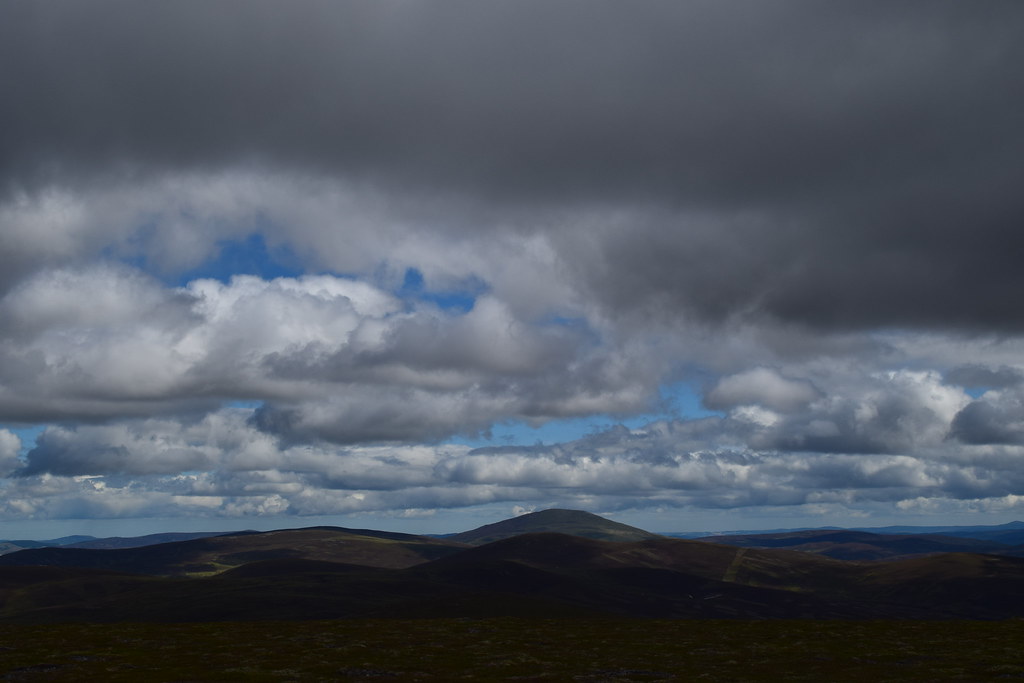
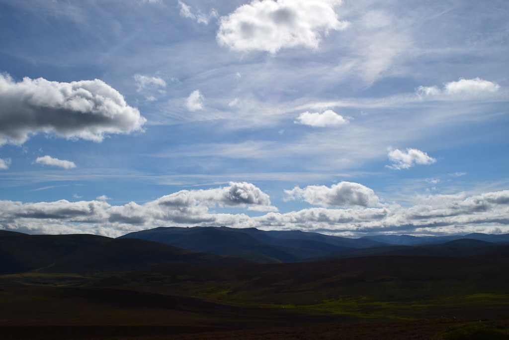
As I climbed higher the views opened out and I could see out towards Morven
I bashed my way through peat hags (fortunately dry), bog (not as wet as it would normally be) and up the steep end of Brown Cow Hill.
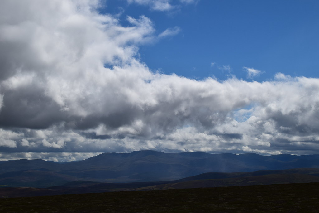
On the ridge I could see out towards the impressive Ben Avon and friends
And it was a short stroll to the summit of Brown Cow Hill

The summit was a bit wide and flat to give good views, and it was also really windy so I carried on along the ridge towards Cairn Sawvie where the views towards Ben Avon started to become much better


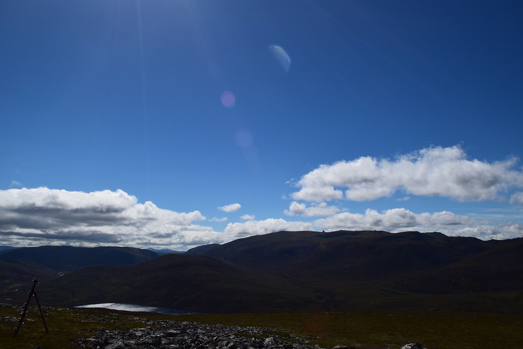
Miekle Geal Charn gave even better views now as I could see down the glen towards Loch Builg
The way ahead

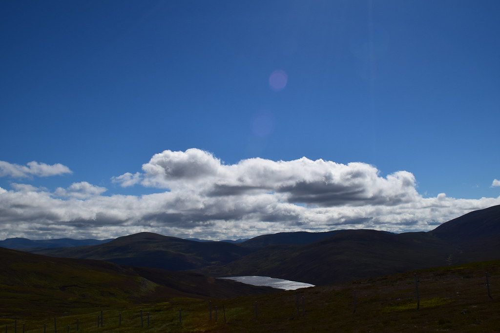
It was very windy and extremely heathery everywhere…but the views back to Loch Builg improved – looked like a nice spot to explore another time
Out towards Bynack More and the Gorms
I continued along the ridge a way before spying a track down in the glen. I was fed up of heather and getting battered by the wind and decided it would make for an easier way back…of course it was a nightmare heather-fest to get there but once I was on it I made much faster progress
As I continued I had an idea….I could easily walk back over Carn Ealasaid…it was hardly any more distance and would make it a more interesting route. Just before Torran Dealaig I left the track and managed to hop across the river – just about possible with dry feet as it was very low

I picked up the track which would lead me all the way to the summit of Carn Ealasaid. It wasn’t far but despite the wind it was very warm – looking back I could see back to Brown Cow Hill, where I had been a few hours ago.

A steep section brought me onto the summit plateau and a few steps from the summit

It was a beautiful afternoon and despite the wind the clarity was fabulous

Uncertain of these hills

North to Ben Rinnes


From here I continued along the track over Cairn Vaich where I could see Corgarff Castle and it looked miles away

I dropped down towards Loinherry – a few shortcuts added to the collection of heather in my boots

From there it was an easy walk to the road and back along to the castle as I didn’t fancy another river crossing
Next adventure - Taking it from behind