free to be able to rate and comment on reports (as well as access 1:25000 mapping).
I had arranged to meet up with five friends at the far end of Bethesda village, but that is easier said than done. I should have remembered how difficult to navigate this village is

Having gone round in a circle a couple of times I found a free carpark

However is was about a mile from where I needed to be & it was a good hike up hill. The others navigated much better than me & got much close to where the path up the mountain begins

. Parking is very difficult on the narrow streets.
All set we managed to get on the path no problem & having had a night of rain we wondered what the stream crossing would be like? We all had pollybags and string just in case. here are a few of the pics crossing the stream which was not problem really

 Crossing Afon LLafar
 by
Joan Howard, on Flickr
 step out
 by
Joan Howard, on Flickr
 A helping hand
 by
Joan Howard, on Flickr
Once across we had a fairly easy walk across the moor to gain the ridge to ascend Yr Elen.
 Crossing the moor
 by
Joan Howard, on Flickr
 IMG_1885 (2)
 by
Joan Howard, on Flickr
We decided to get to the beginning of the rocks & get out of the wind & enjoy the view before getting into the cloud.
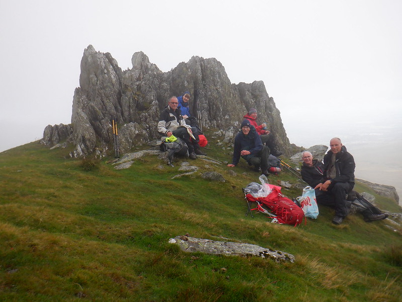 Yr Ellen
 by
Joan Howard, on Flickr
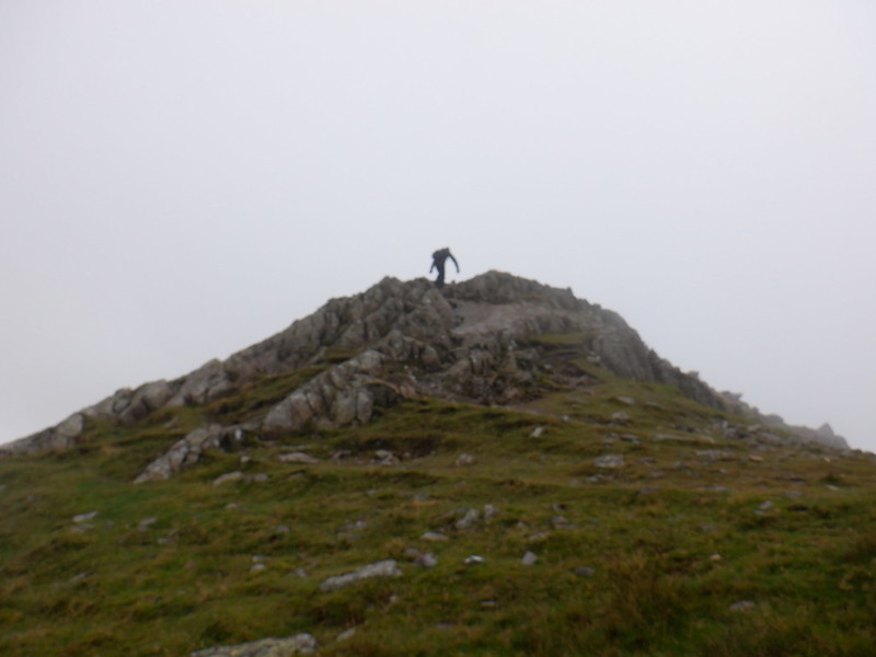
Once in the cloud and on the scree it was a steep climb to the summit, it would have been very slippery if we had reversed the route, as we had considered.
 Yr Elen summit ridge
 by
Joan Howard, on Flickr
Navigation became a bit tricky in the heavy cloud & we had to resort to the GPS to find the summit of Llewelyn
 Carnedd Llewelyn
 by
Joan Howard, on Flickr
 Pathfinder finding the way!
 by
Joan Howard, on Flickr
 IMG_1848
 by
Joan Howard, on Flickr
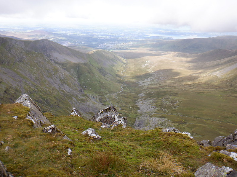
Once we passed Llewelyn it began to clear we could have a look back where we had come from.
 Towards Carnedd Dafydd
 by
Joan Howard, on Flickr
and admire the views
 Looking back
 by
Joan Howard, on Flickr
 IMG_1851
 by
Joan Howard, on Flickr
The ridge towards Dafyd was very clear & we all enjoyed being able to see something

 IMG_1854
 by
Joan Howard, on Flickr
 IMG_1852
 by
Joan Howard, on Flickr
 View of our route
 by
Joan Howard, on Flickr
 Onwards!
 by
Joan Howard, on Flickr
 IMG_1867
 by
Joan Howard, on Flickr
 IMG_1869 (2)
 by
Joan Howard, on Flickr
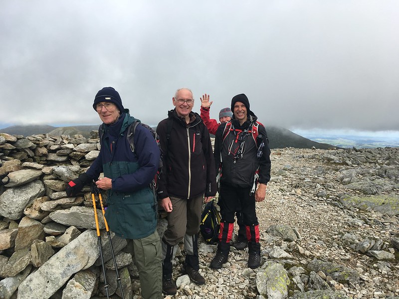
The last summit of the day, well done team
 IMG_1877
 by
Joan Howard, on Flickr
 Summit Dafydd
 by
Joan Howard, on Flickr
Now for the descent to Bethesda down the boulder filed.
 Down the boulder field
 by
Joan Howard, on Flickr
The sting in the tail for me was when we got back to the village
The friends who had parked nearer to the mountain gave me a lift down to the main town, but it took us 20 minutes to find my car

Its a maze down there!!! The moral is I should have put a "mark" on the GPS for the car

Make sure you can navigate the village if you do this route

