free to be able to rate and comment on reports (as well as access 1:25000 mapping).
Sunday 16th September 201825.97km
1128m ascent
6 hours 30 mins
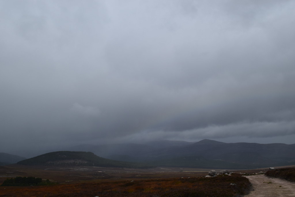
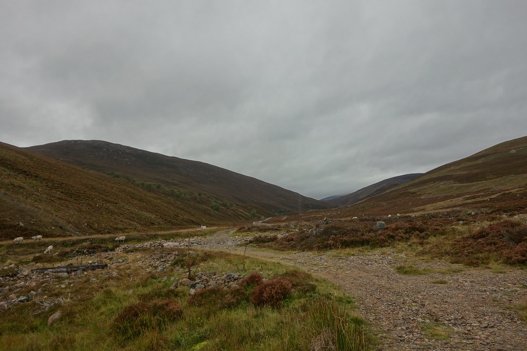
The weather forecast looked decent but windy, so I parked at Crathie, paid my £2 and headed off across the Dee
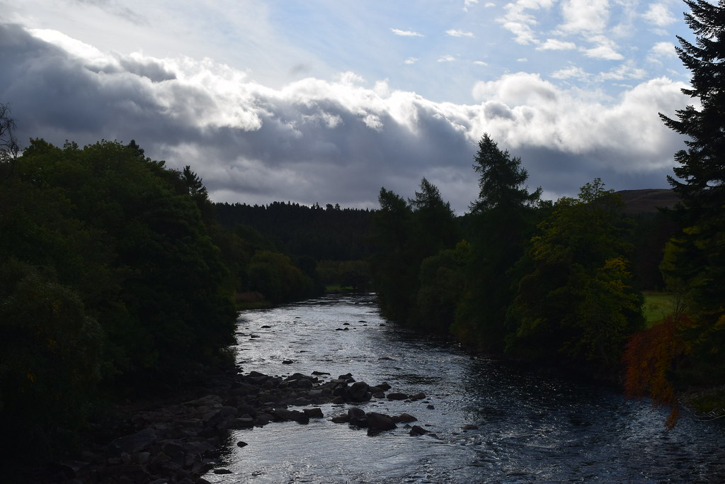
The sun was shining as I wandered past the well-guarded gates to Balmoral and along the road, taking the right turn past the cottages.
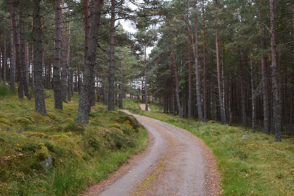
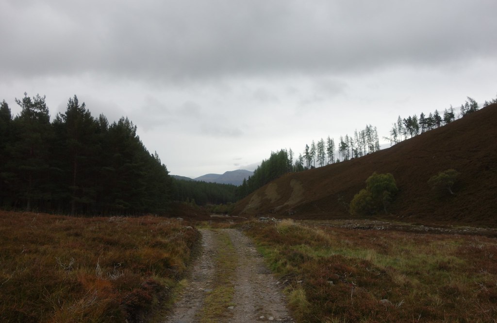
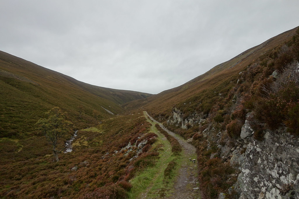
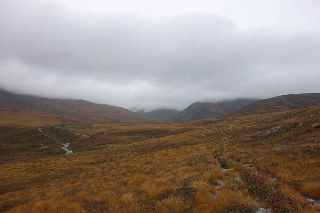
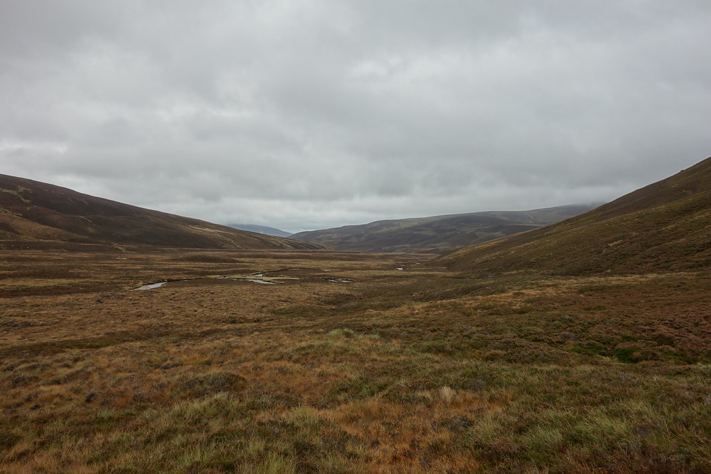
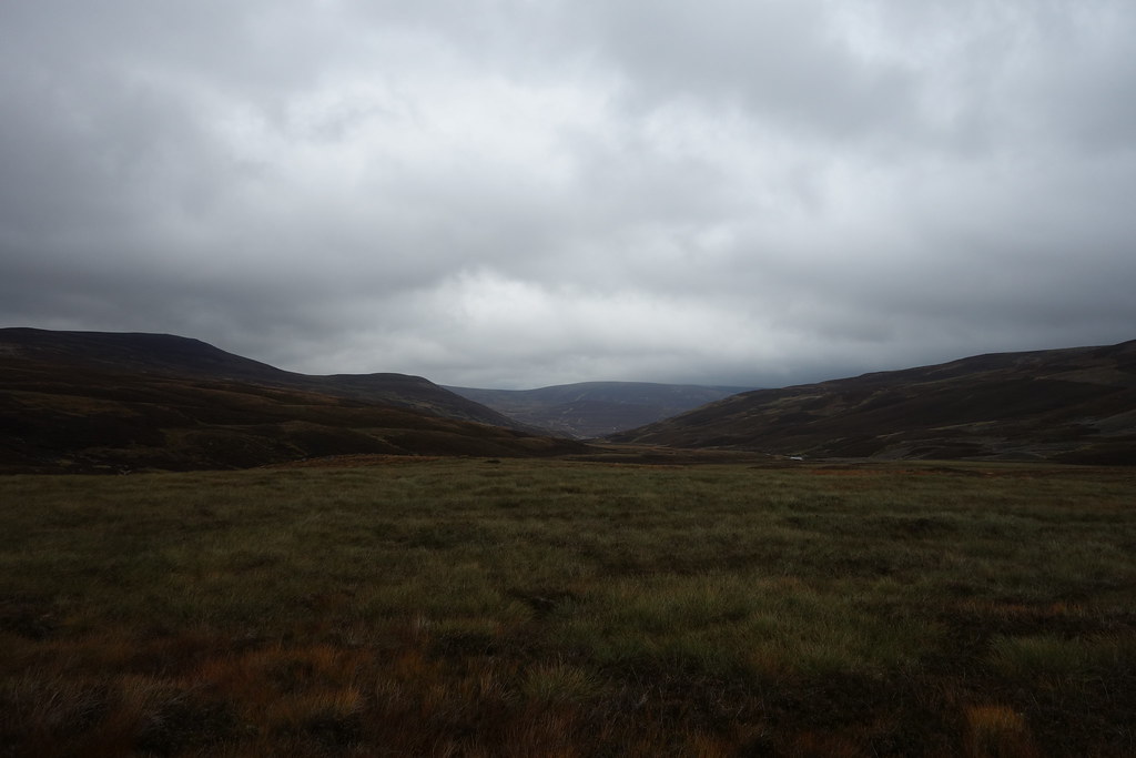
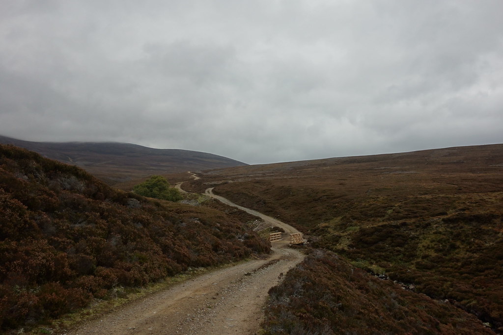
The road became a track which led into the forest. A maze of paths finally saw me out of the forest and into the open.
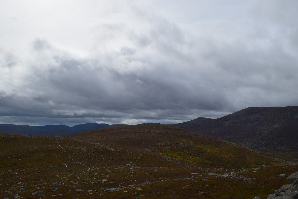
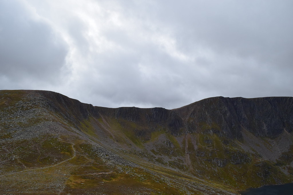
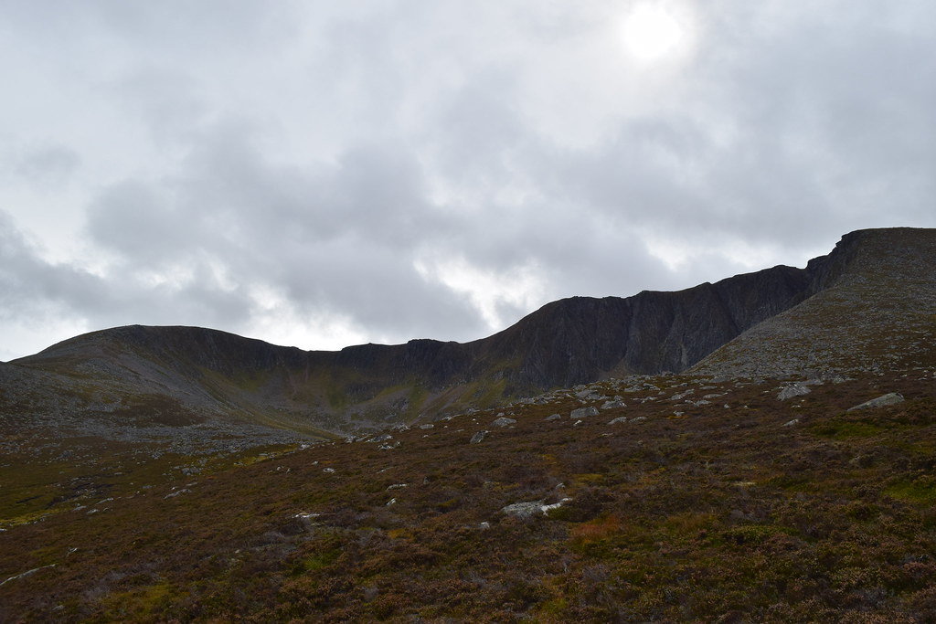
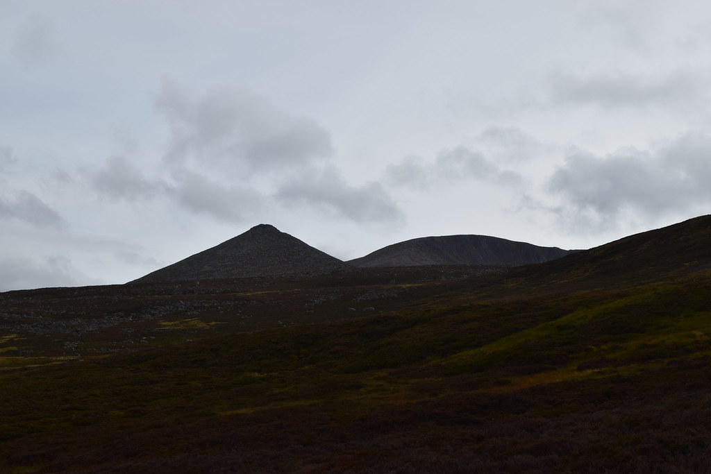
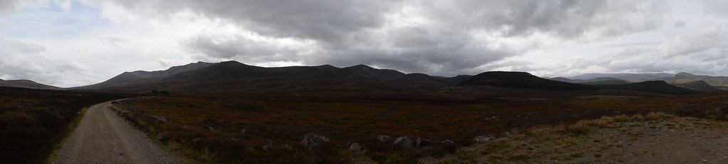
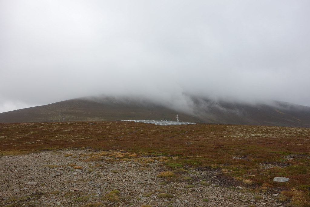
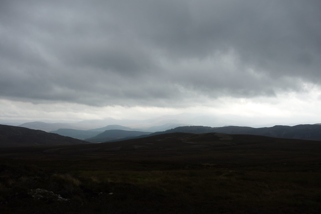
Looking back
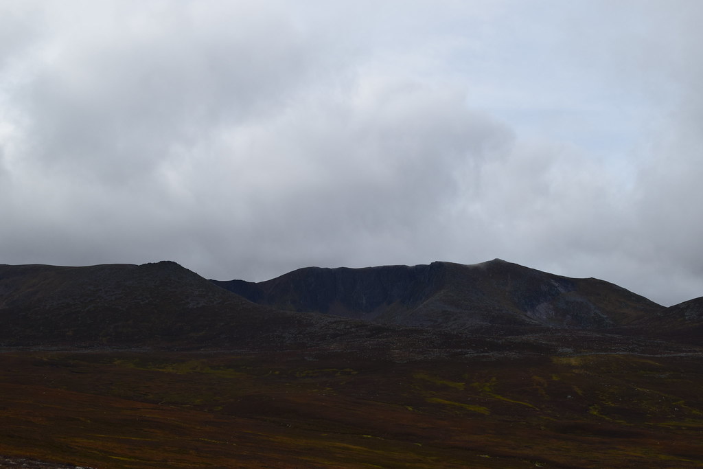
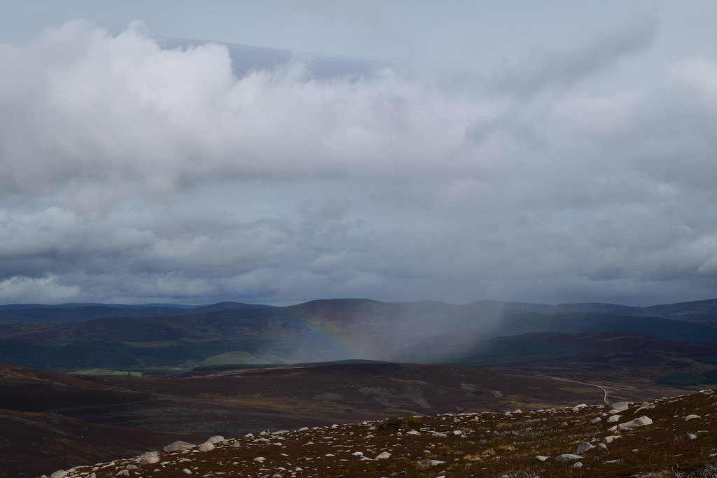
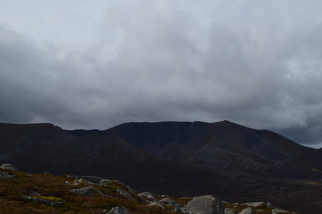
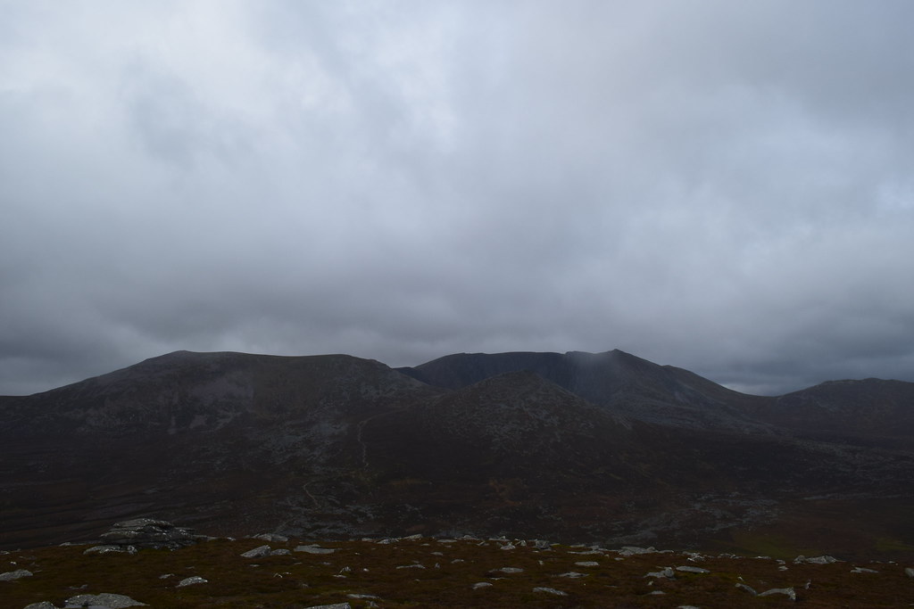
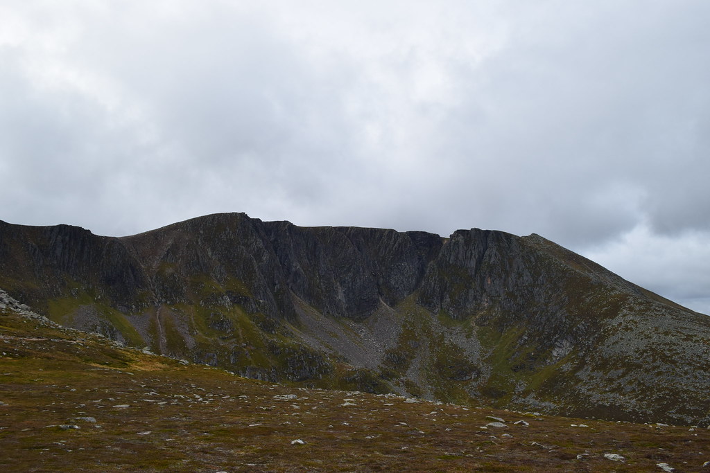
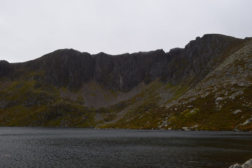
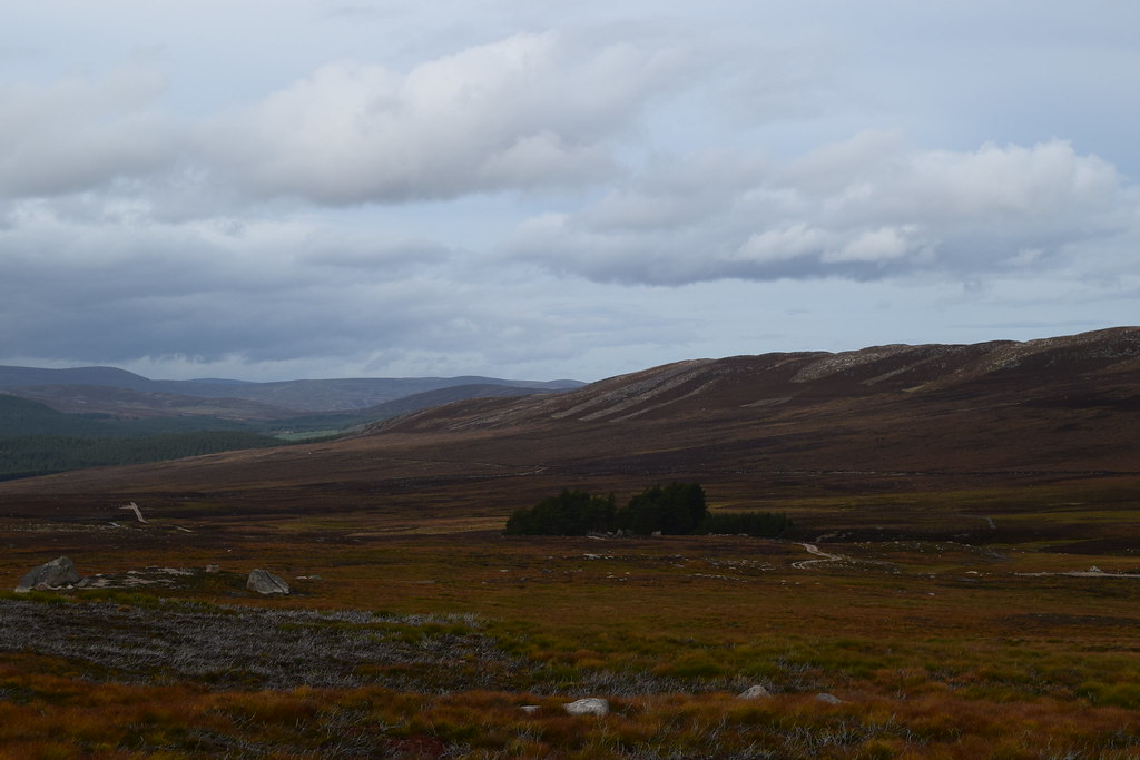
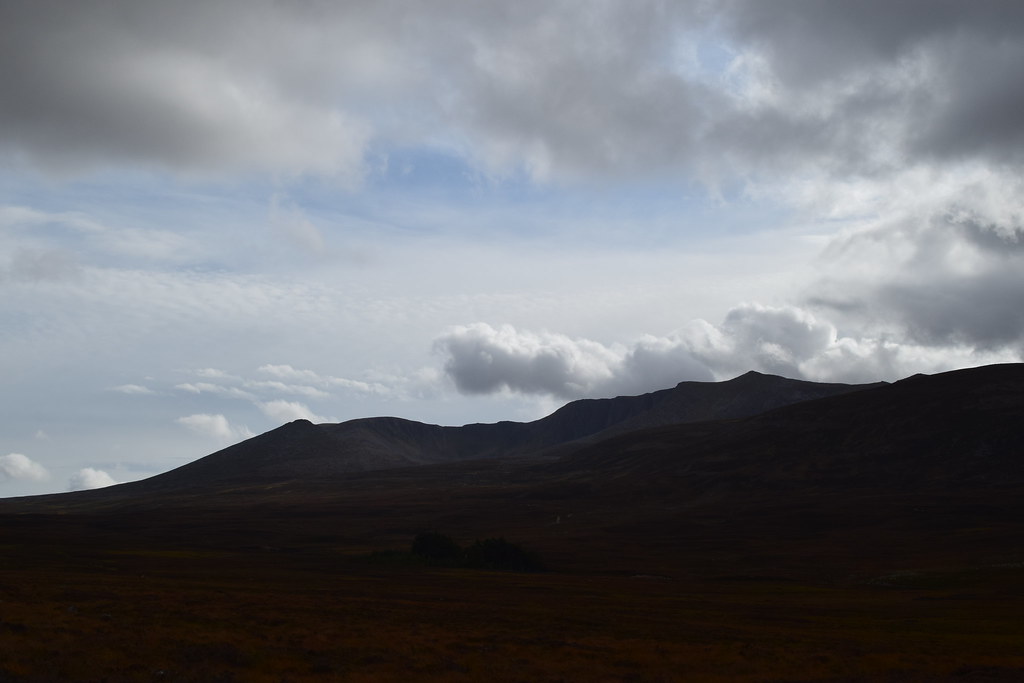
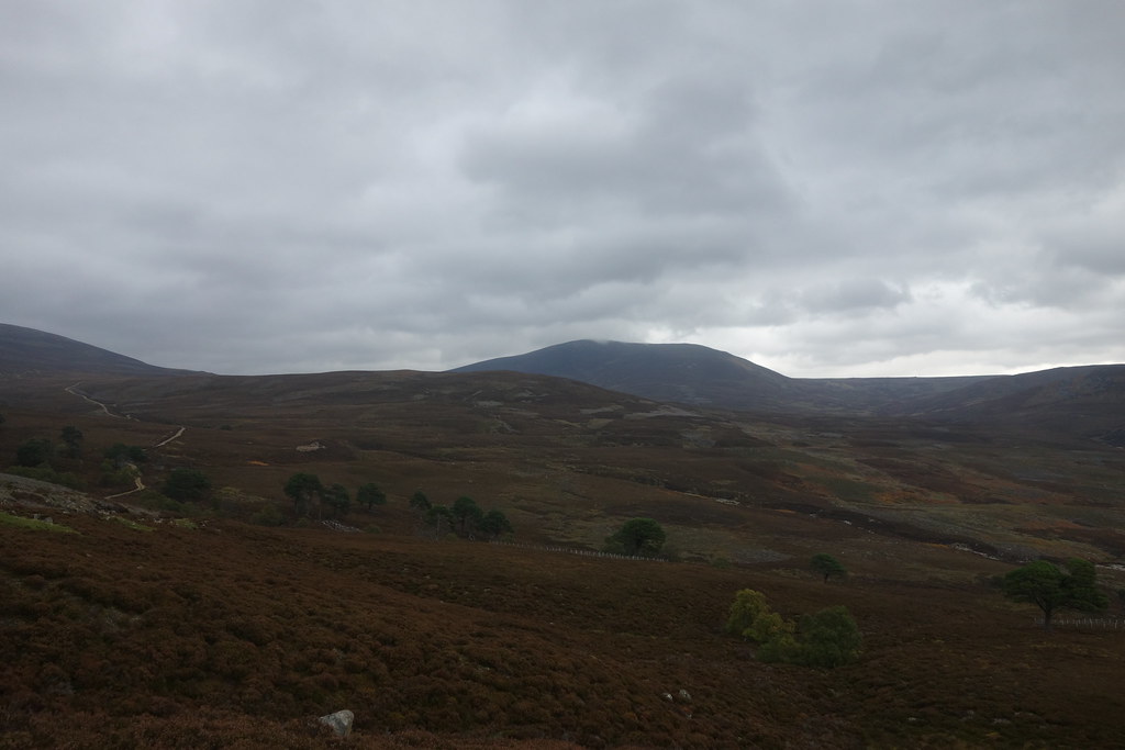
As I continued along the track, the huge bulk of Lochnagar came into view – an impressive sight but things were only going to get better

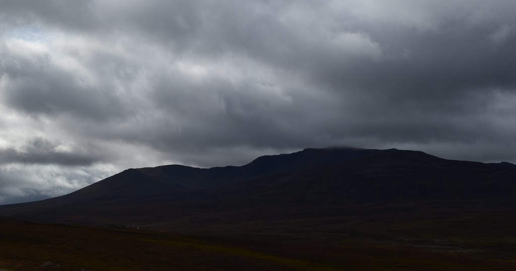
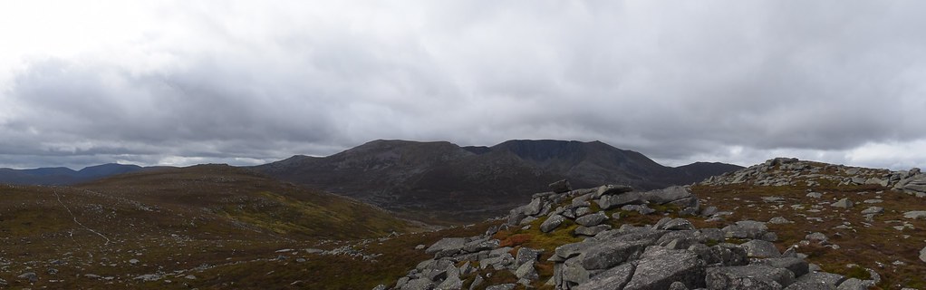
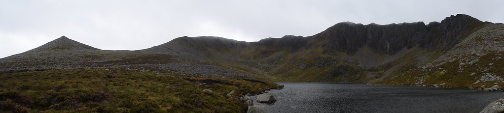
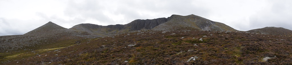
The whole ridge – Lochnagar to
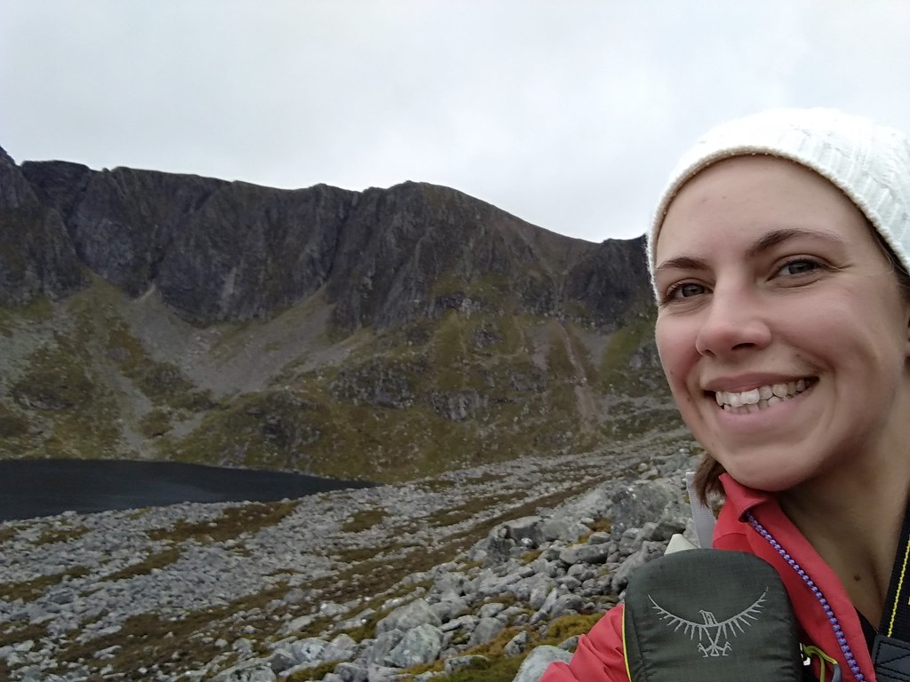
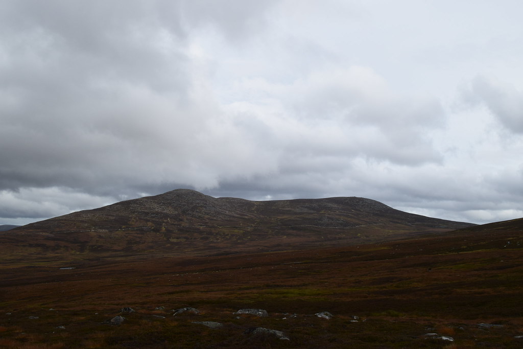
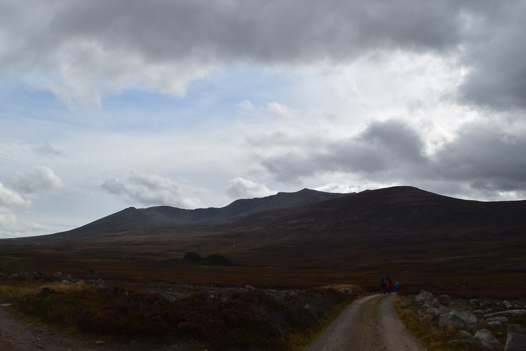
I passed a group who were also heading up Conachraig, shortly after I rounded a corner and my target came into view.
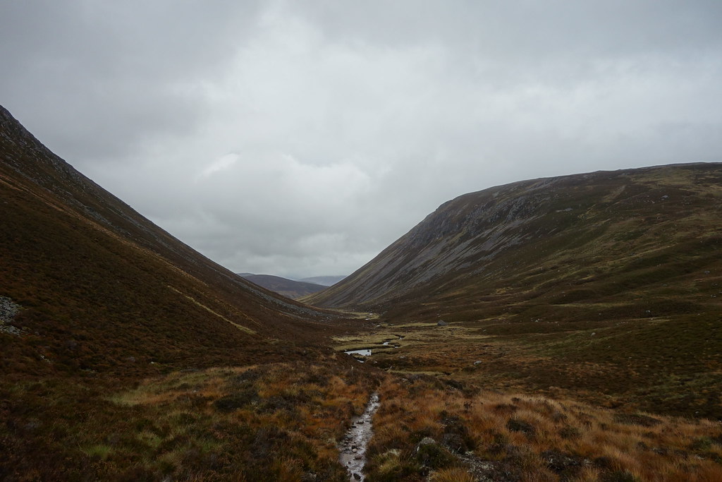
As I climbed further up the glen Lochnagar became more and more impressive
And then…. Ninja rain shower

Cue scrambling to get waterproofs on and cameras safely away

Fortunately it didn’t last long and my wonderful Lochnagar was back
One advantage of the wind – at least the showers were over quickly
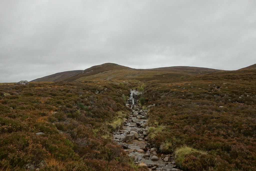
I left the track and started to climb up the steep heathery ridge of Conachraig. Most of the bog was avoidable and my waterproof trousers were keeping most of the heather out of my boots
Another wee shower
But the views to Lochnagar just seemed to be getting better
And then the sun popped out
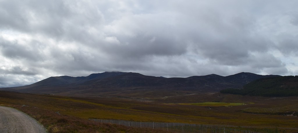
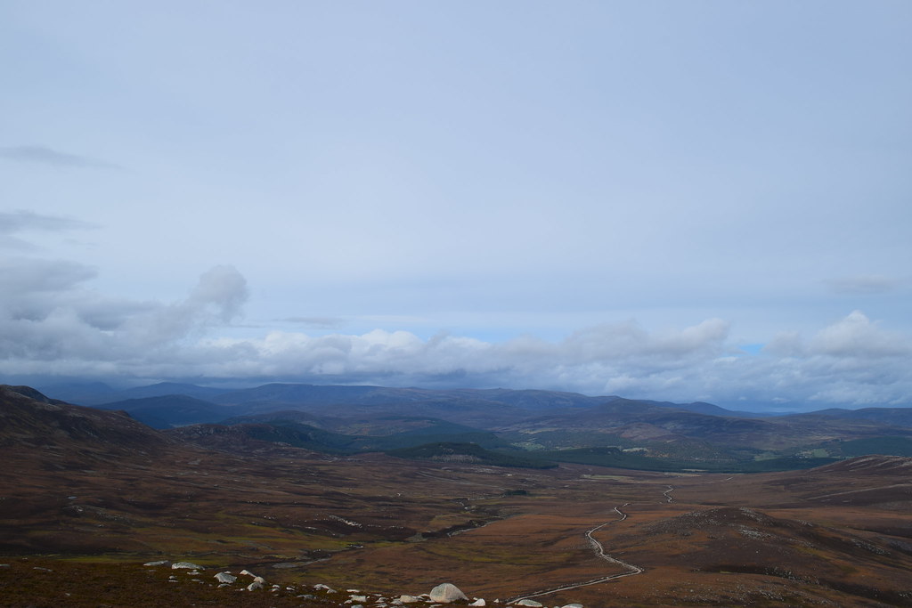
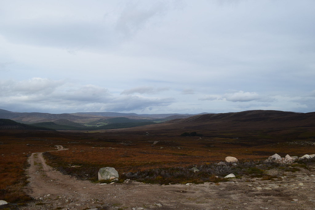
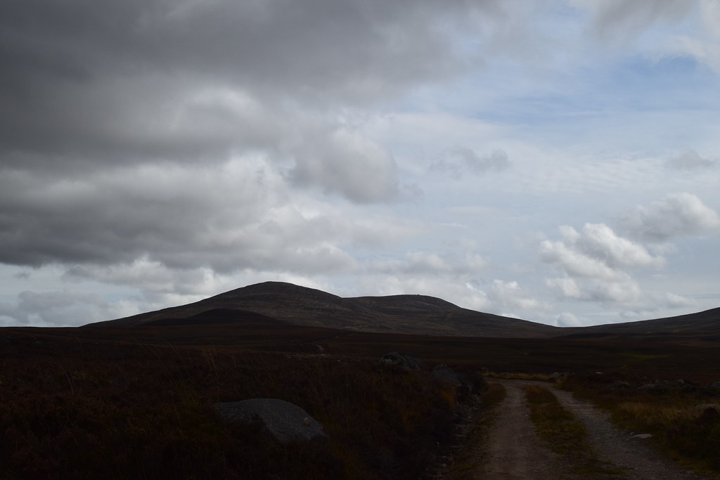
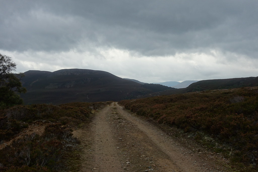
The long and winding road – my route up from Balmoral
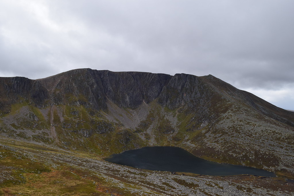
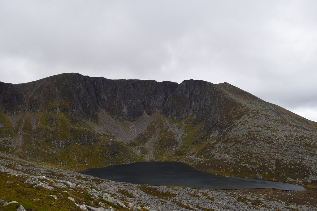
Reaching the top of the ridge I could almost see into the corrie
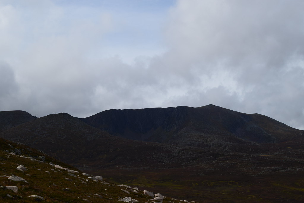
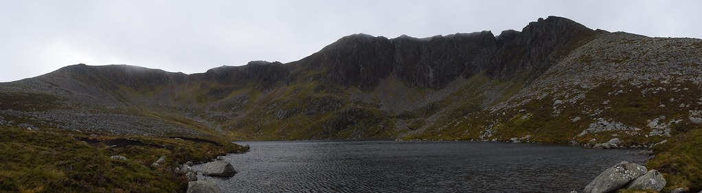
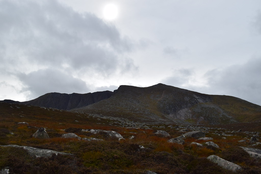
The whole bulk of Lochnagar – just awesome
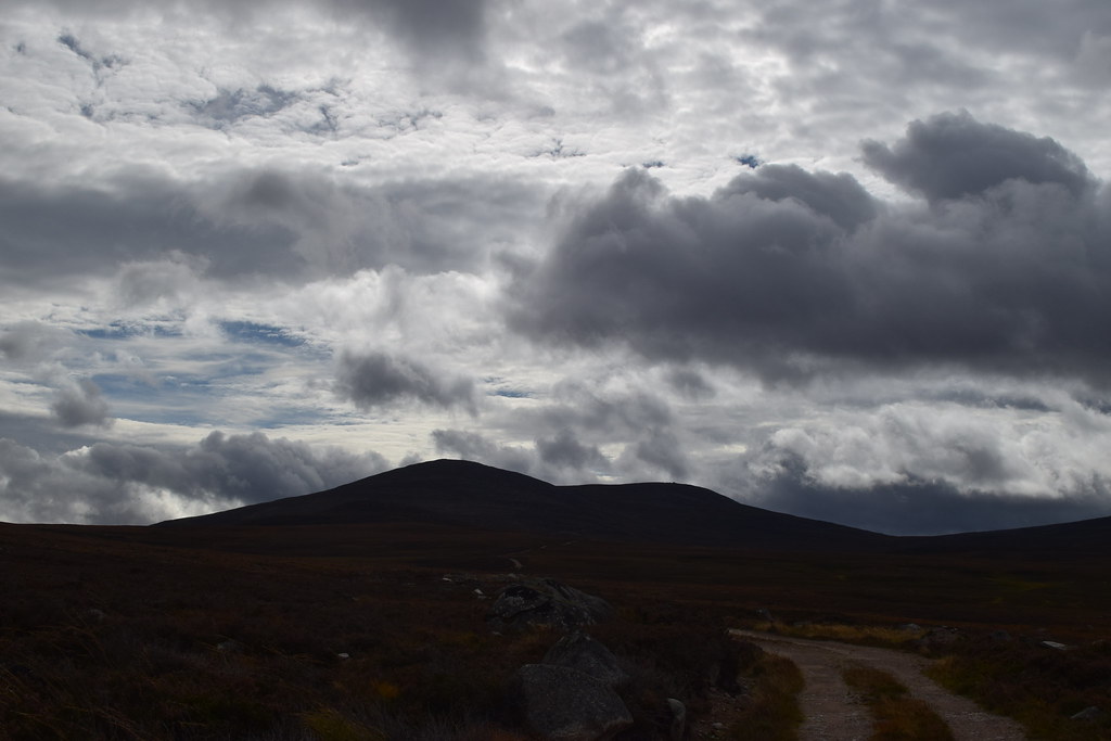
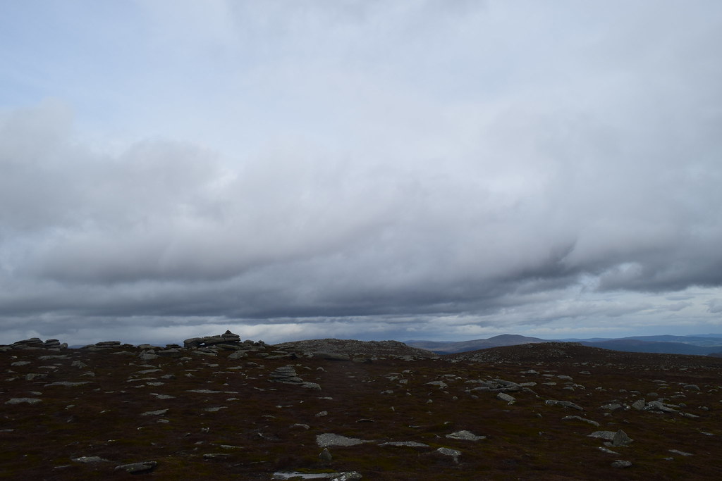
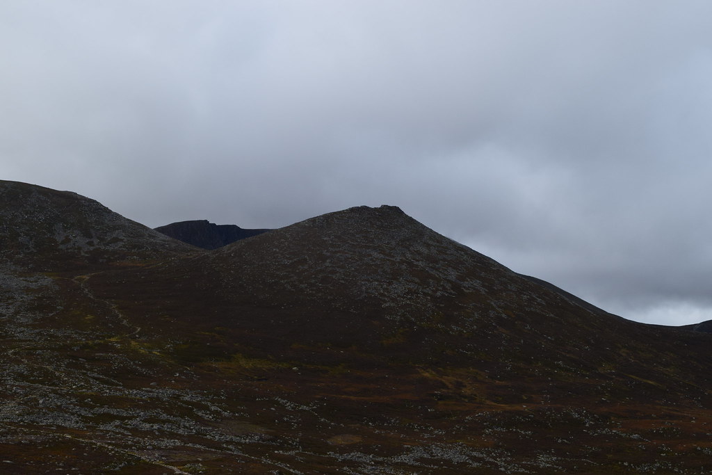
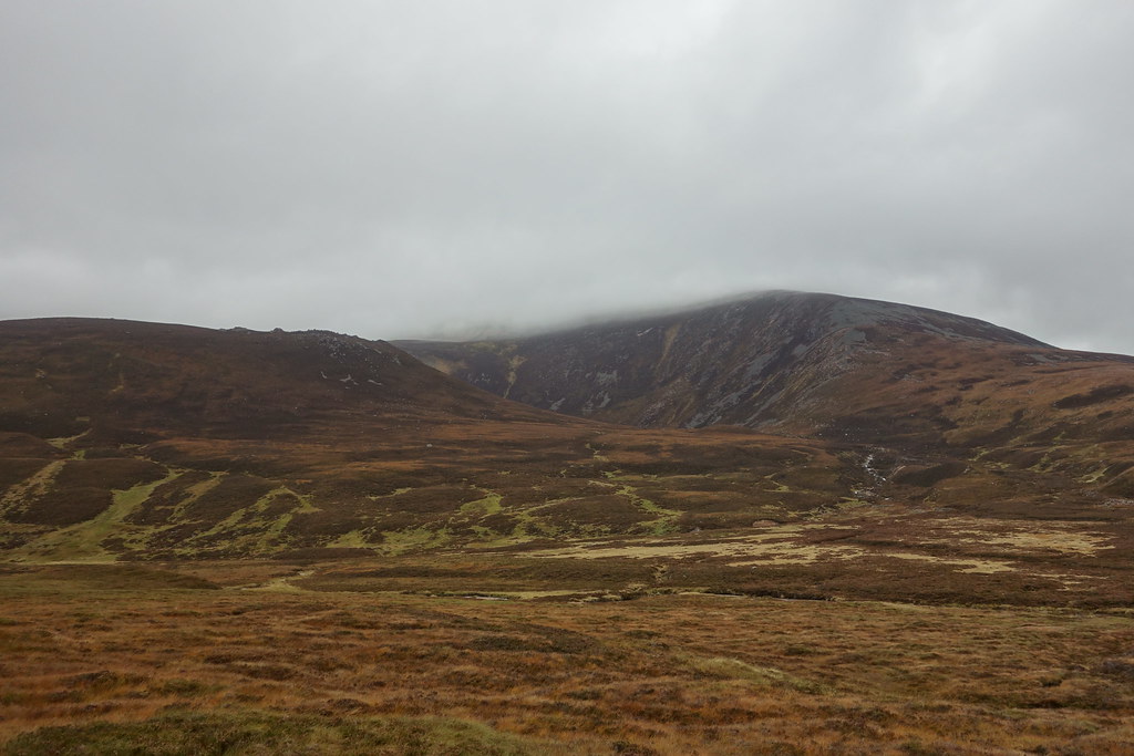
Now on the Conachraig summit plateau I could see ahead to the other summits which seemed worth a wee visit while I was there

Ahead to the actual summit – it was very windy and difficult to walk
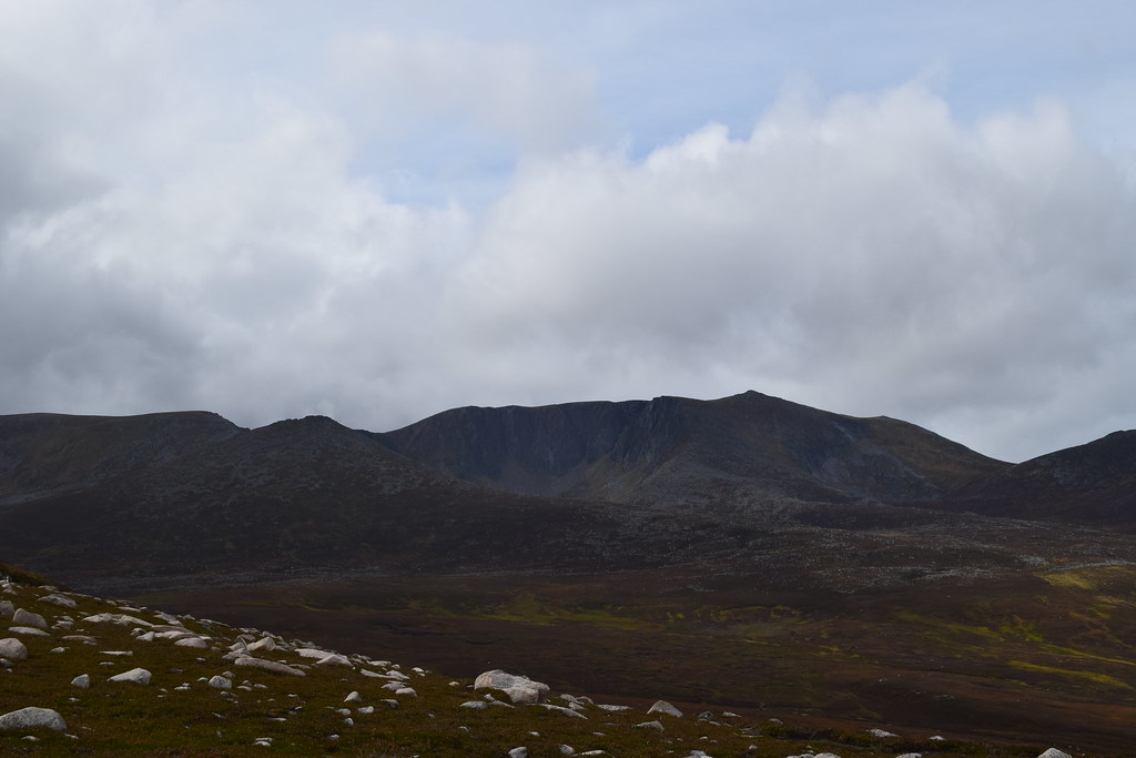
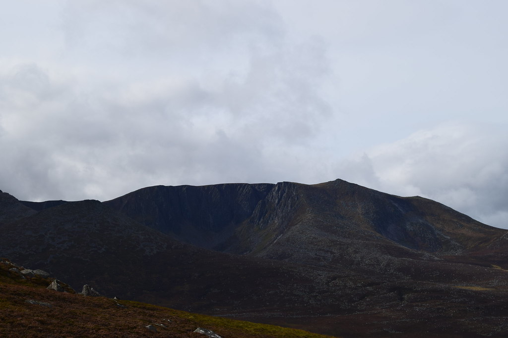
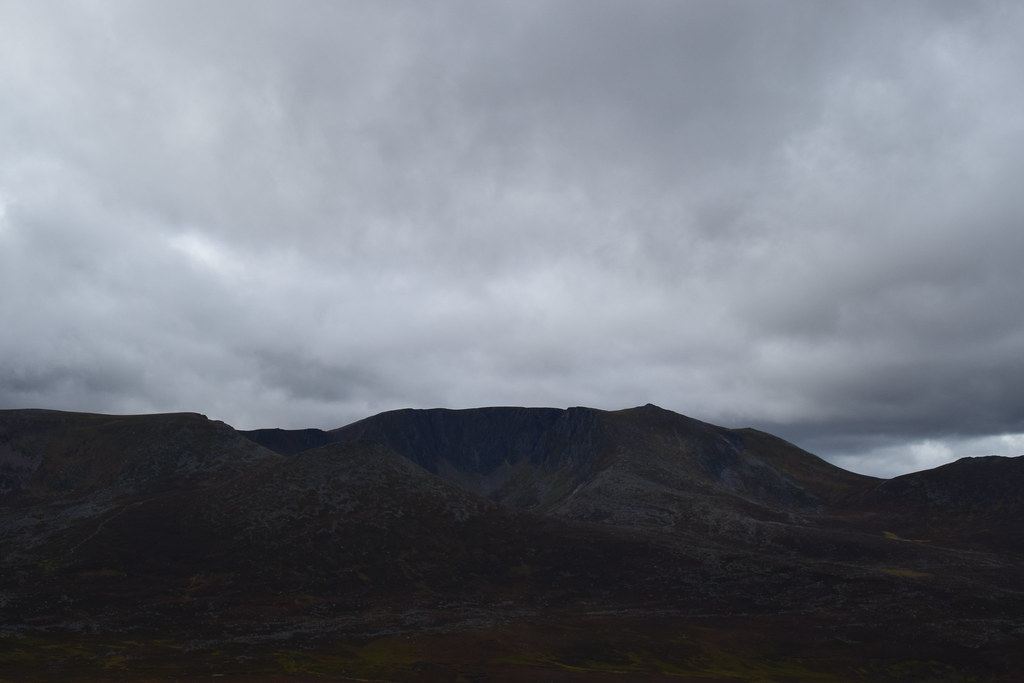
Conachraig and Lochnagar
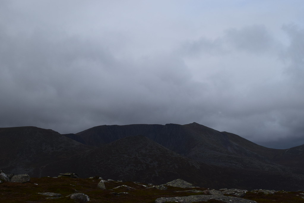
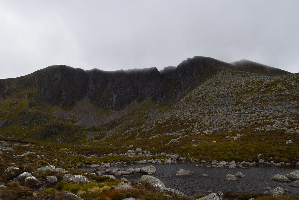
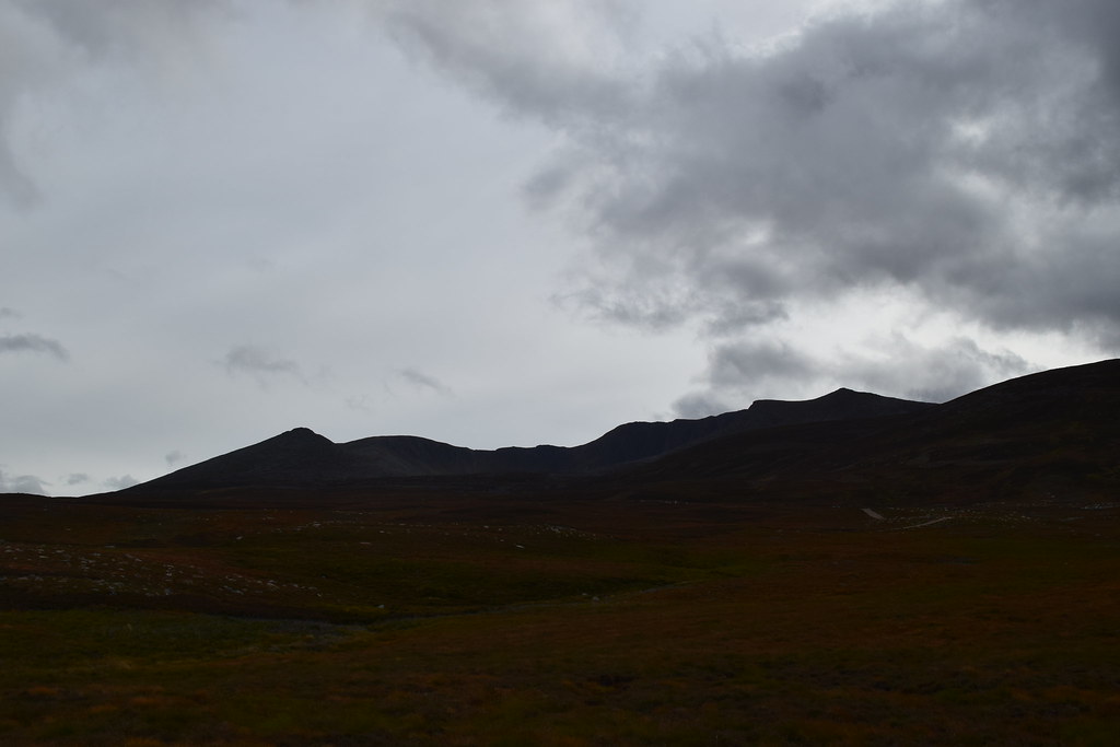
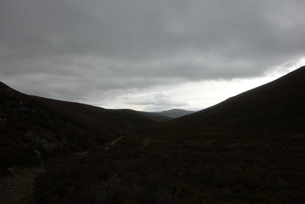
It began to become a bit more overcast which made Lochnagar appear darker
Approaching the summit of Conachraig – the photo doesn’t show how windy it was
Here comes the cloud….
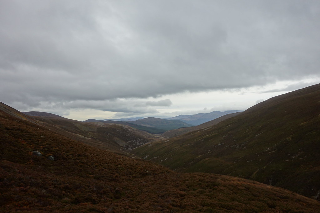
Looking ahead to Mayar and Dreish in the distance
There was a wee shower and it was super windy so I didn’t hang around too long
Dropping down towards the bealach I decided I’d have a wee wander up to Miekle Pap, but decided that the Lochnagar ridge would be pretty nasty in the wind
I met a couple here that I’d met on the track up to Conachraig….
“Didn’t I just see you going the other way?” I asked them….turns out they’d been aiming for Lochnagar and had overshot
As I climbed I looked back to Conachraig

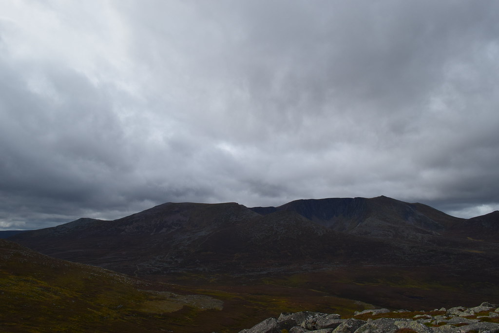
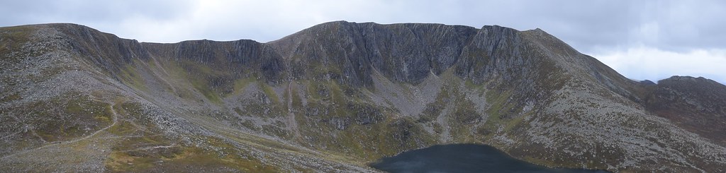
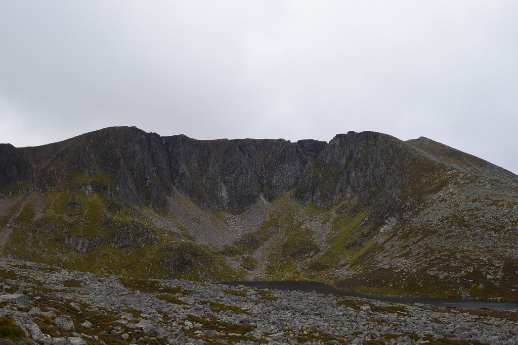
The impressive cliffs of Lochnagar
And the whole ridge
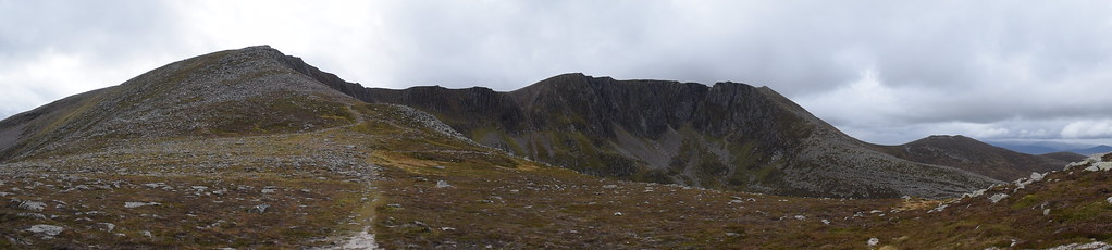
As I climbed up Miekle Pap (the best viewpoint in the East Highlands? Debate!) I could see the whole of the ridge. It was awesome. And so so windy
I played around on the giant rocks but there was a huge chance of getting blown off every time I stood up so this soon got old
Given how windy it was here, the ridge was out of the question so I dropped off Miekle Pap for a wee look in the corrie
It was a steep descent but the worst bit was the boulders
Bouldermaggeddon on slightly damp rocks, wearing boots with no grip…really smart

It made the Chalamain Gap look easy and by the time I got to the lochan the cloud had come in and spoiled my photo
Still, it was really cool to explore a place that doesn’t get a lot of foot traffic, and the best thing was that it was relatively sheltered
I walked back through interesting terrain past the curious wee tiny lochans
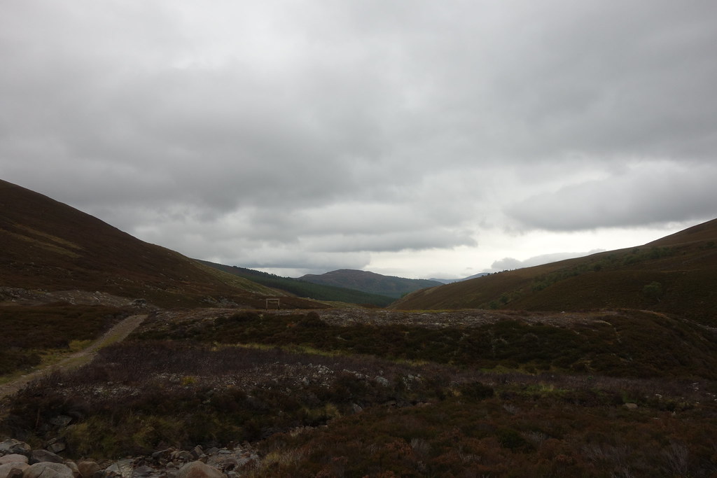
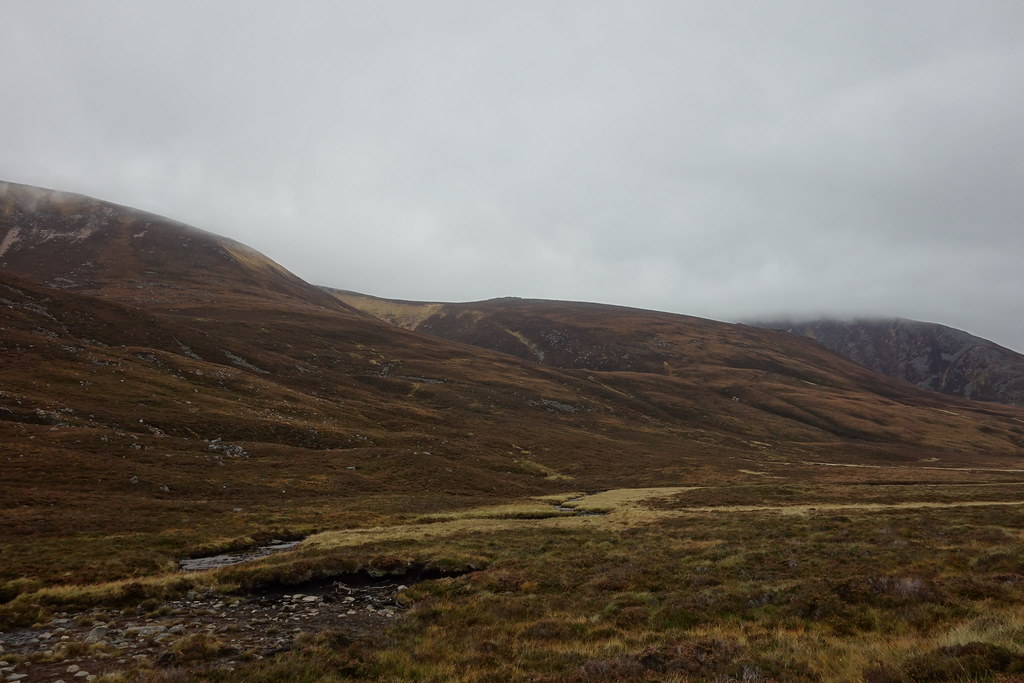
Soon I was dropping out of the corrie and downwards – I was aiming for the track which would eventually lead me to Gelder Shiel.
But before that I had to endure heathermaggeddon….fortunately my waterproof trousers were keeping the worst of the heather out of my boots but it was still tough going

Every inch of Lochnagar is awesome!
Looking ahead to my track which seemed miles away (it probably was
)
Miekle Pap – impressively pointy
Conachraig
Eventually, after what felt like forever I finally reached the track! I had traipsed through miles of boulders, heather and bog and was so glad to be back on solid ground
Ben Avon looking impressive
Gelder Shiel ahead
Looking back up to Lochnagar – still impressive!
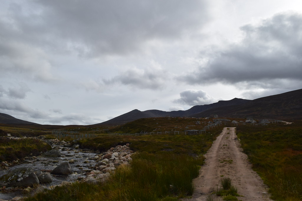
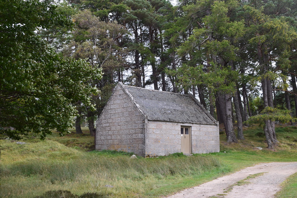
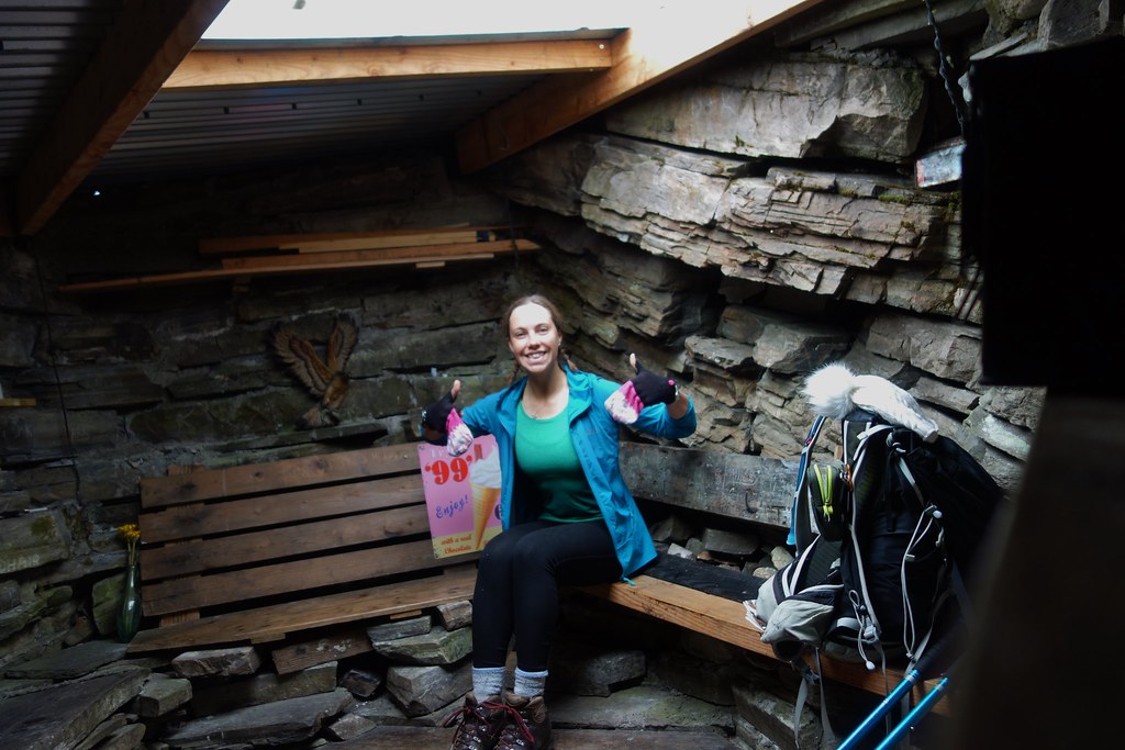
I was looking forward to having a wee nosey in Gelder Shiel but sadly it was locked!
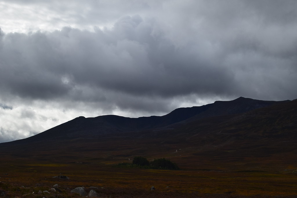
Still, at least Lochnagar still looked good
Conachraig – I’d come full circle!
As I met my outward track I bumped into a family who looked like they were heading for the bothy. They were sad to learn it was locked but carried on to have a wee look anyway
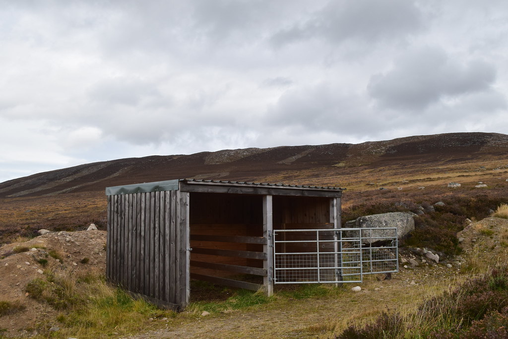
Back on the track I saw a random stable I’d missed on my way in
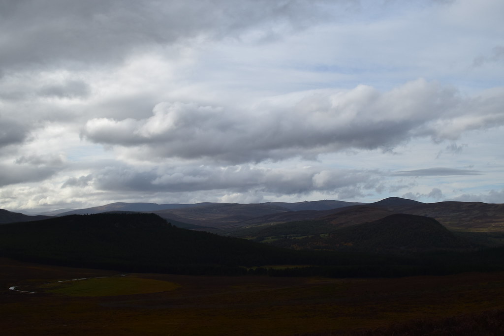
The Lochnagar Massif
Ben Avon
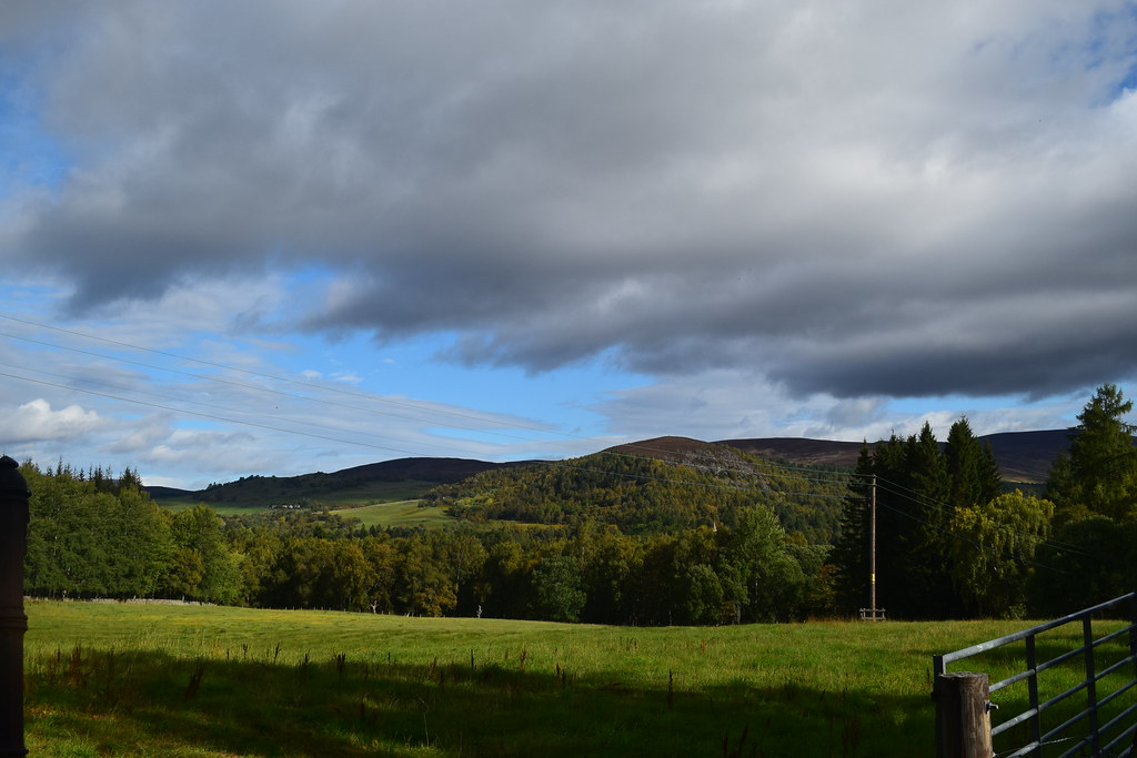
Soon I was back into the forest and easily retraced my steps back to the car.
An awesome day exploring, it was back to the tent to chill out and plan the next day’s adventures
Monday 17th September 201827.67km
721m ascent
5 hours 50 mins
I parked at Keiloch and although it had looked clear early on it started raining as I put my boots on…. I decided I was a glass half full sort of person and didn’t put my waterproofs on
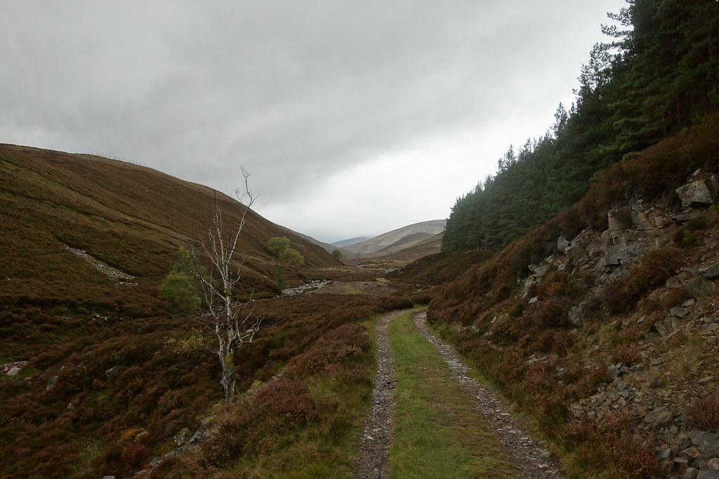
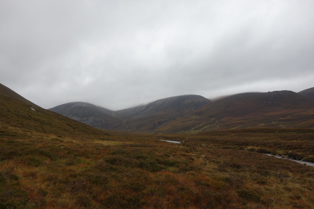
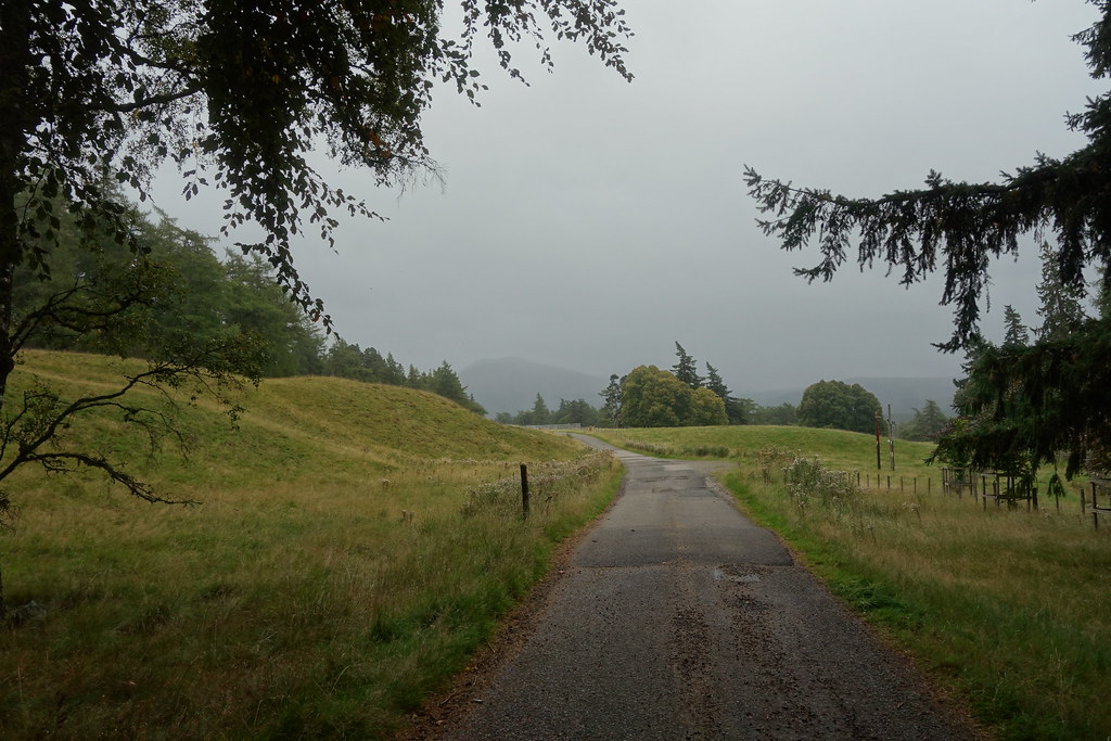
Setting off it was a familiar and easy walk along the road towards Invercauld and around Altdourie before setting off down the Slugain. Most of this was under trees so I had avoided getting wet
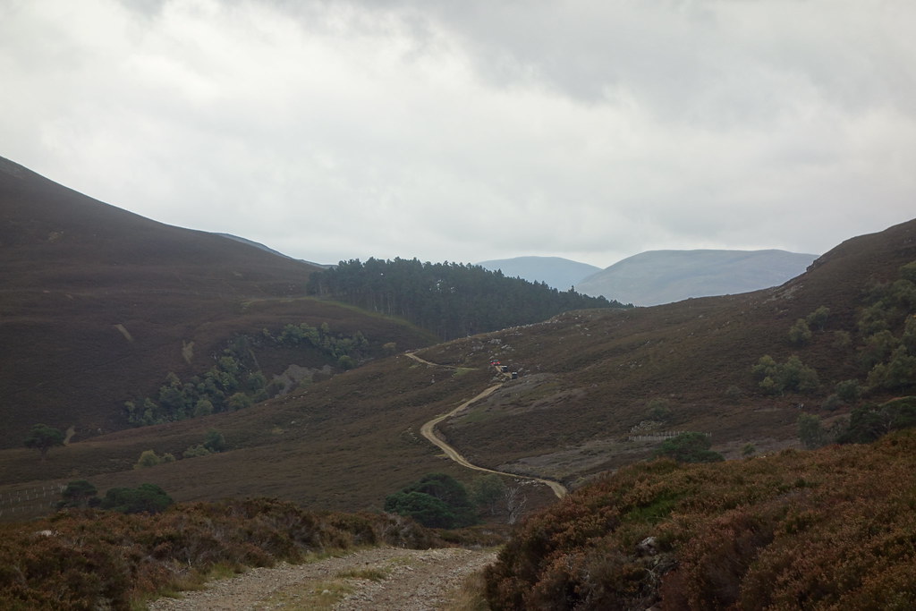
Heading up the Slugain – the rain eased as I came out of the trees – huzzah

The burns that had caused me so many problems on the way out
last time were mere trickles now and I was able to make progress with dry feet
Looking back
A wee burn

It was a nice day and a bonnie glen and completely deserted – happy days!
Further up the glen – I remember those cool rocks on the right from last time I was here
Looking back again – it was definitely brightening up ahead
Climbing higher, the views improved
I off-pisted for a bit and then look what I found – secret howff
Back on the track I continued on my glen exploration – I was now higher; it was windier, cloudier and beginning to get wetter…

Beinn a’ Bhuird
I found the right turn that lead down between Creag an Dail Mhor and Creag an Dail Bheag
The path was initially good – as I went downhill it got wetter and more vague until it eventually disappeared into a mixture of heathermaggeddon and bogmaggeddon
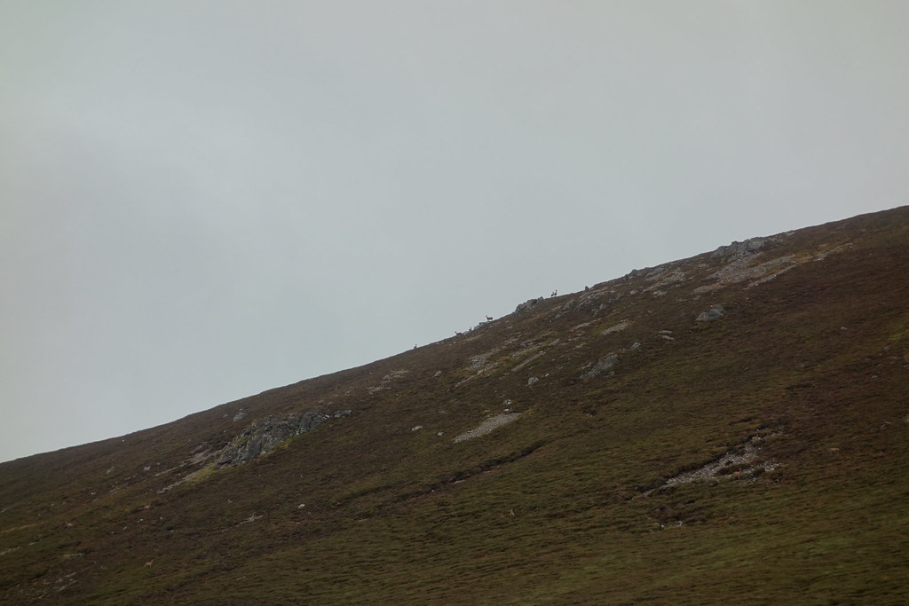
As I continued down the glen I felt like I was being watched
Anyone seen a path?
A look at the map told me that the “path” had crossed the burn, but I couldn’t see it and crossing the river with dry feet wasn’t going to happen so I continued on my pathless meander as I looked up towards the humungous bulk of Ben Avon
Ben Avon
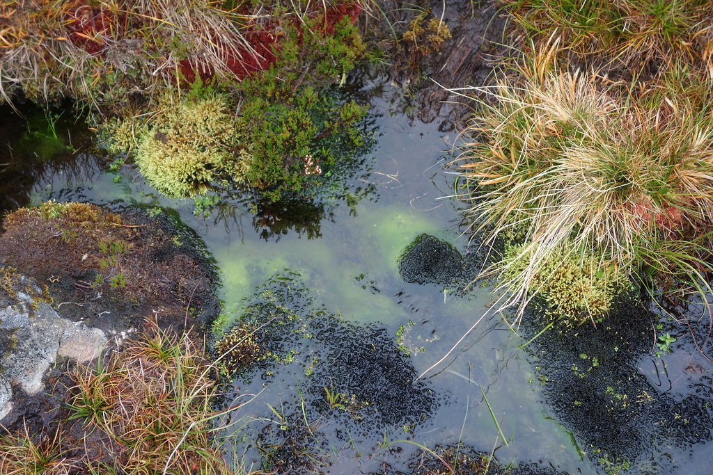
I found some mental radioactive green slime
This must be Brown Cow Hill
Eventually I picked up a boggy ATV track which saved me walking all the way to the bridge and led me back to…drum roll please…. A TRACK!
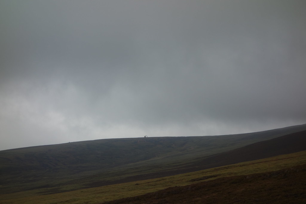
A JCB looming out of the mist on Culardoch
It was a steep climb out of the glen and with every metre climbed it got windier and windier
At the bealach dearg I was back on familiar ground – the weird heather farm was still there
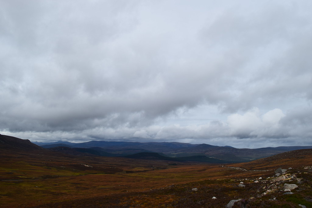
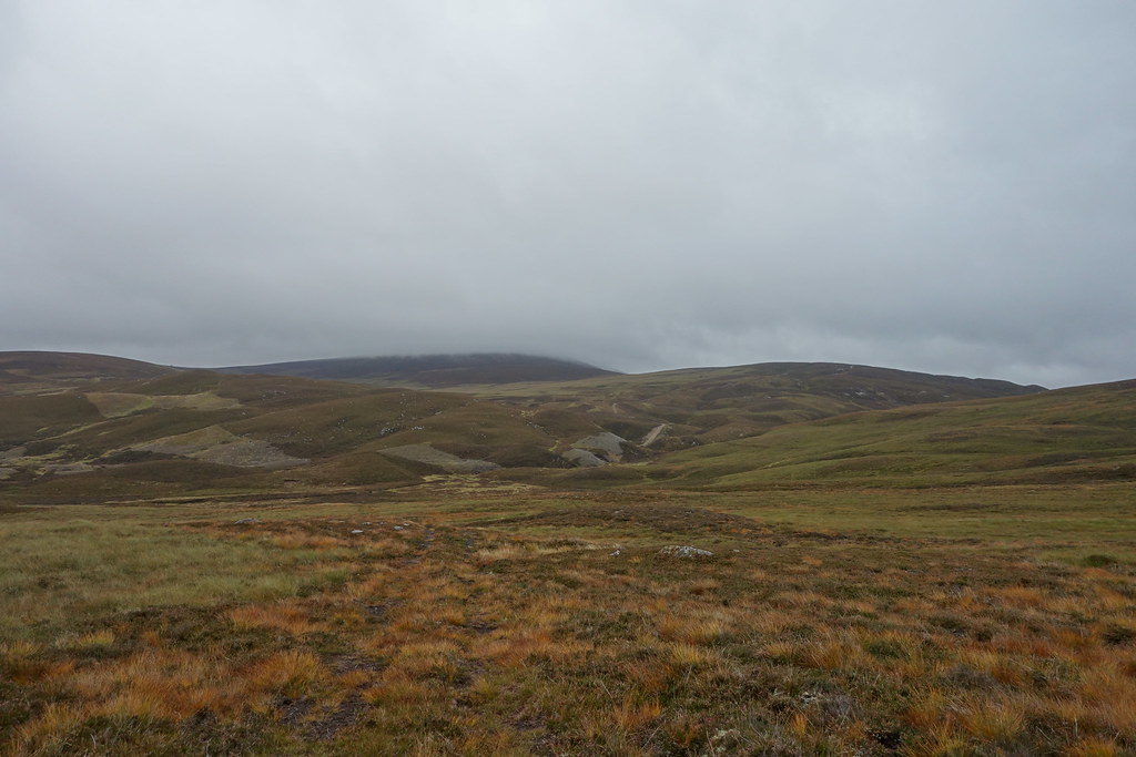
It was easy walking but a long way still to go!
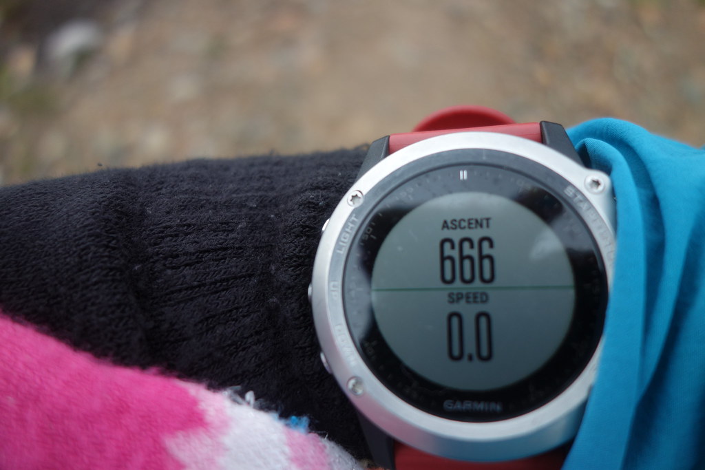
I checked how much ascent I’d done….dun dun dun
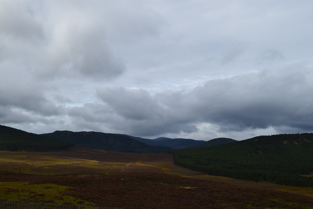
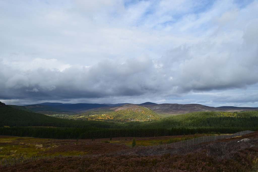
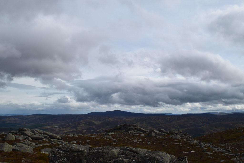
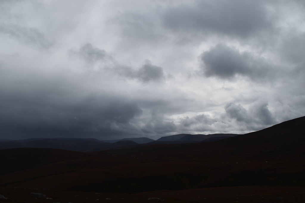
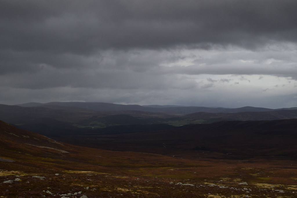
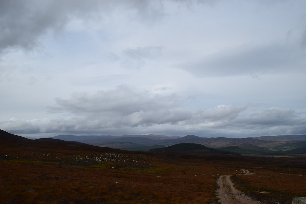
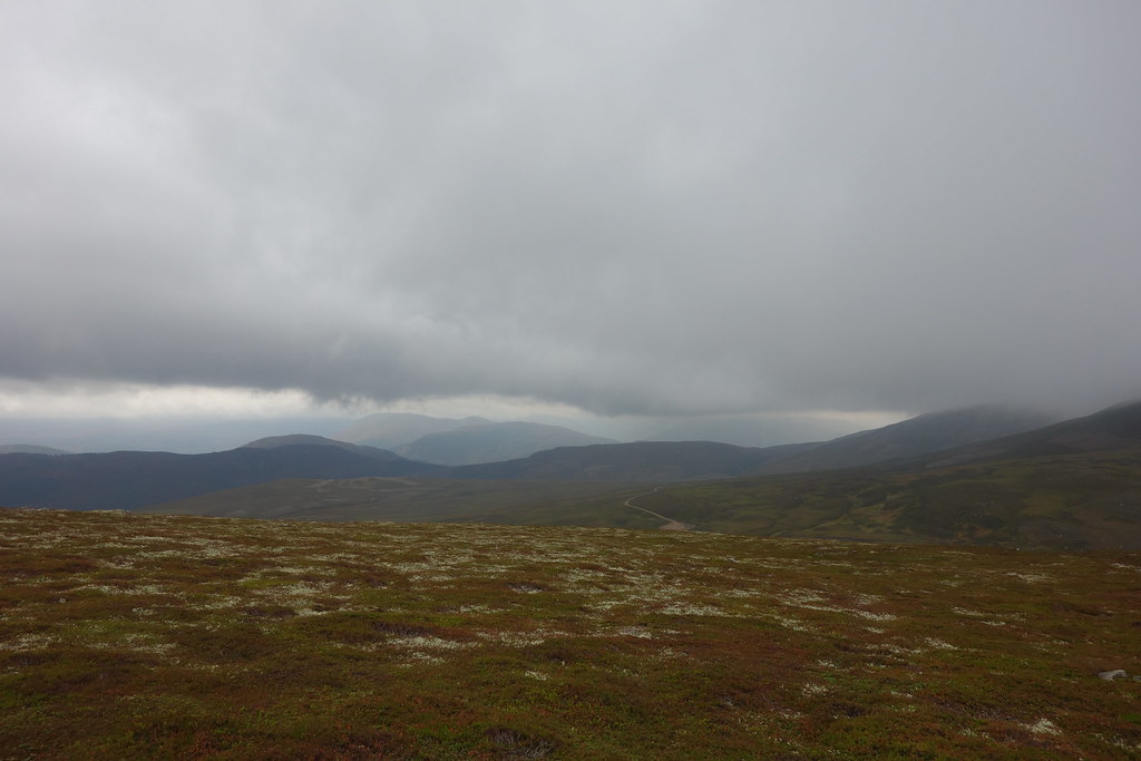
The hills just south of Braemar were looking clear
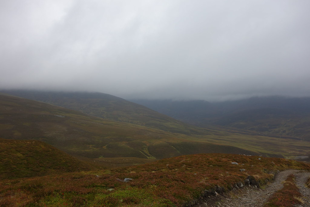
Towards Lochnagar wasn’t looking so bad either
Across the bridge – I was starting to get there
Meall Gorm ahead
I was overtaken by a convoy of 4x4s here – a stalking party I assumed. They all looked very cold and wrapped up
Looking back to Culardoch
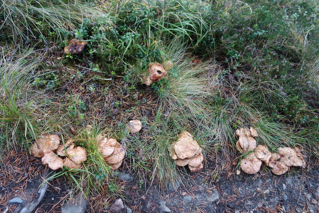
Soon I was back into the forest and getting lost on forest tracks – but I found mushrooms
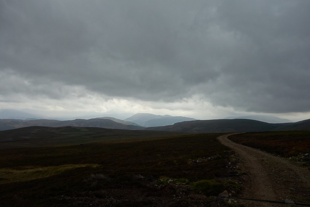
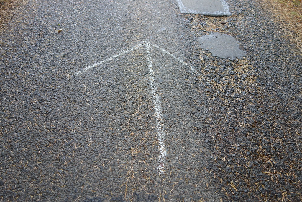
Eventually back on the road I wasn’t in any doubt of which way to go…
I could see the weather approaching….there were a few spots of rain already in the air
I got back to the car just as the weather apocalypse arrived - driving home was horrific; at Glenshee I could barely see the front of my car
But an brilliant weekend exploring
