free to be able to rate and comment on reports (as well as access 1:25000 mapping).
This was a very short notice trip, my usual walking colleagues were unavailable so I was flying solo. Ideally I would have liked to have headed west to tackle the Arrochar Alps but the forecast wasn't favourable so it was back to the Marilyns. I still have quite a few in the SW to visit so the big decision was where do I go. I am heading south again at the end of the month so will probably head home via Dumfries, so I opted to head to Ayrshire.
Friday evening was spent doing my usual research, reading walk reports and plotting routes. As I lost my old phone that I used for navigation I downloaded Maverick onto my phone and paid the £6.99 for the posh version that also provides maps. I have to say I was suitably impressed and my location was shown immediately on the map every time I turned my phone on.
I left home earlier than I was planning - and this worked out better especially as Grey Hill took longer and turned out to be tougher than I expected.
Craiglee, 306m, 4.1km, 1hr 30mins

Parking area, other cars were campers
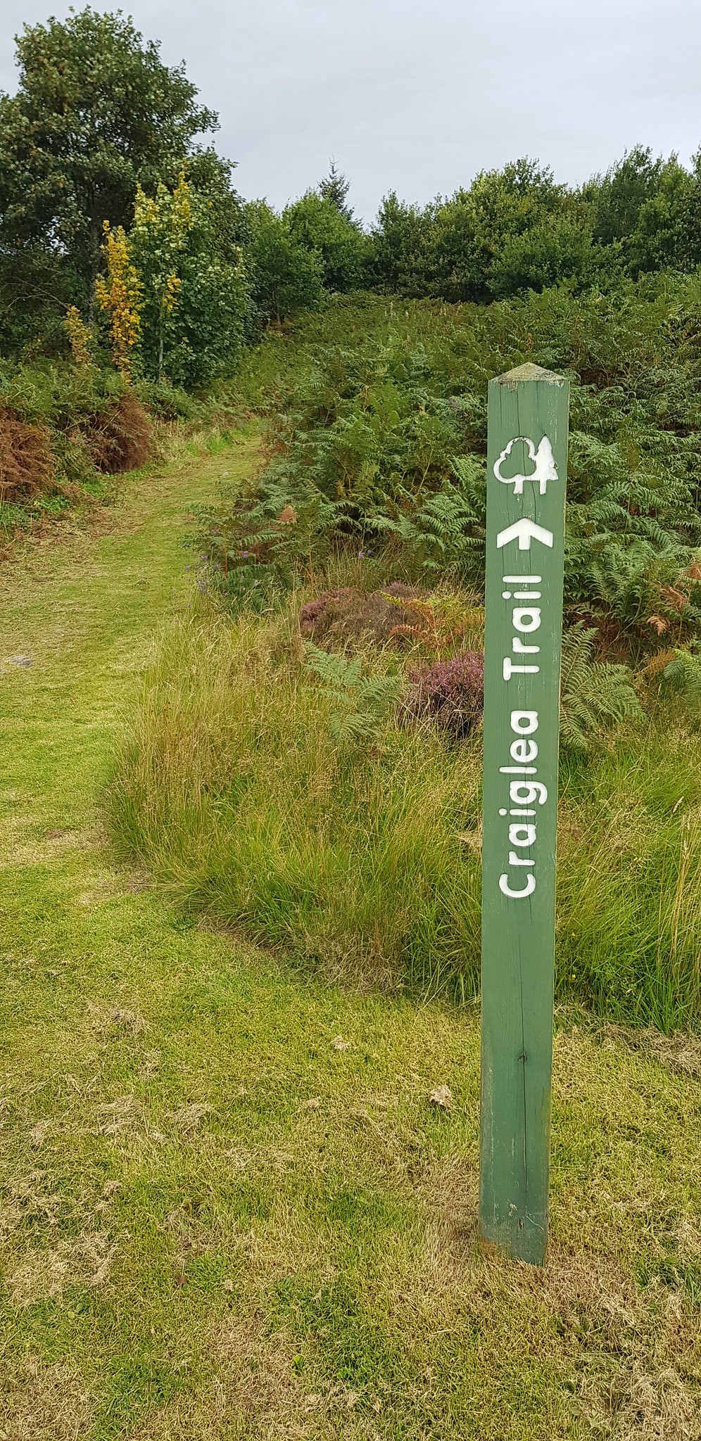
Just to make sure you start at the right spot, notice the grass has been cut on the "Trail"

Doon Castle ruins

Low level shot of Loch Doon and Doon Castle
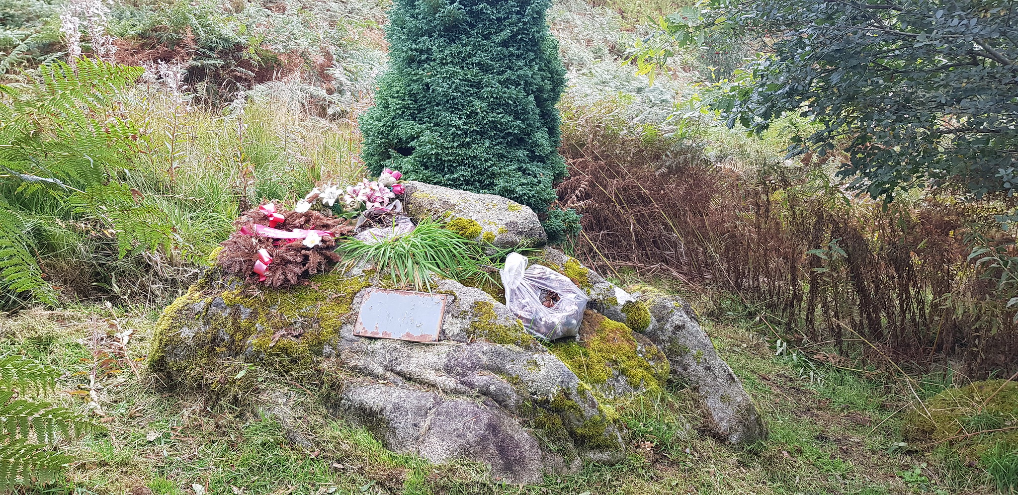
Some sort of memorial

A couple of benches for the unfit, a couple of hundred yards after the start

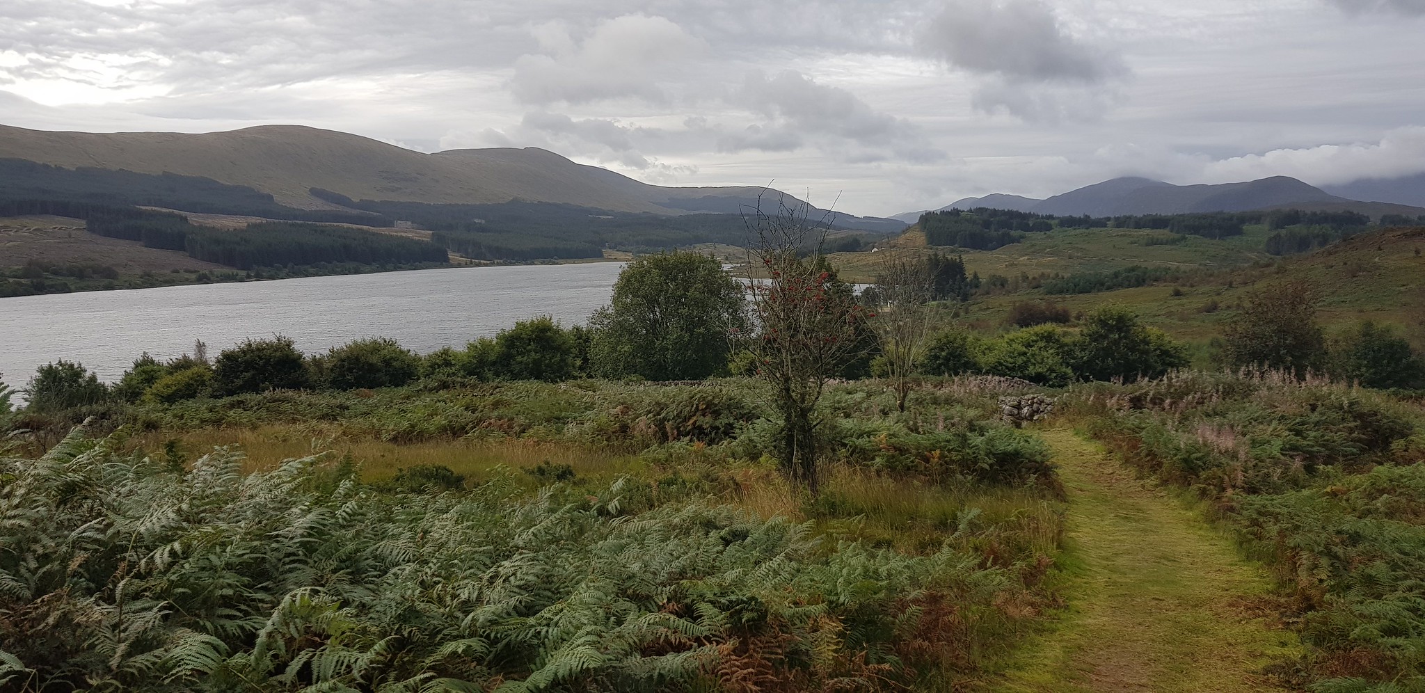
The way ahead
Good well mown path - soon to end

The trail goes over this track
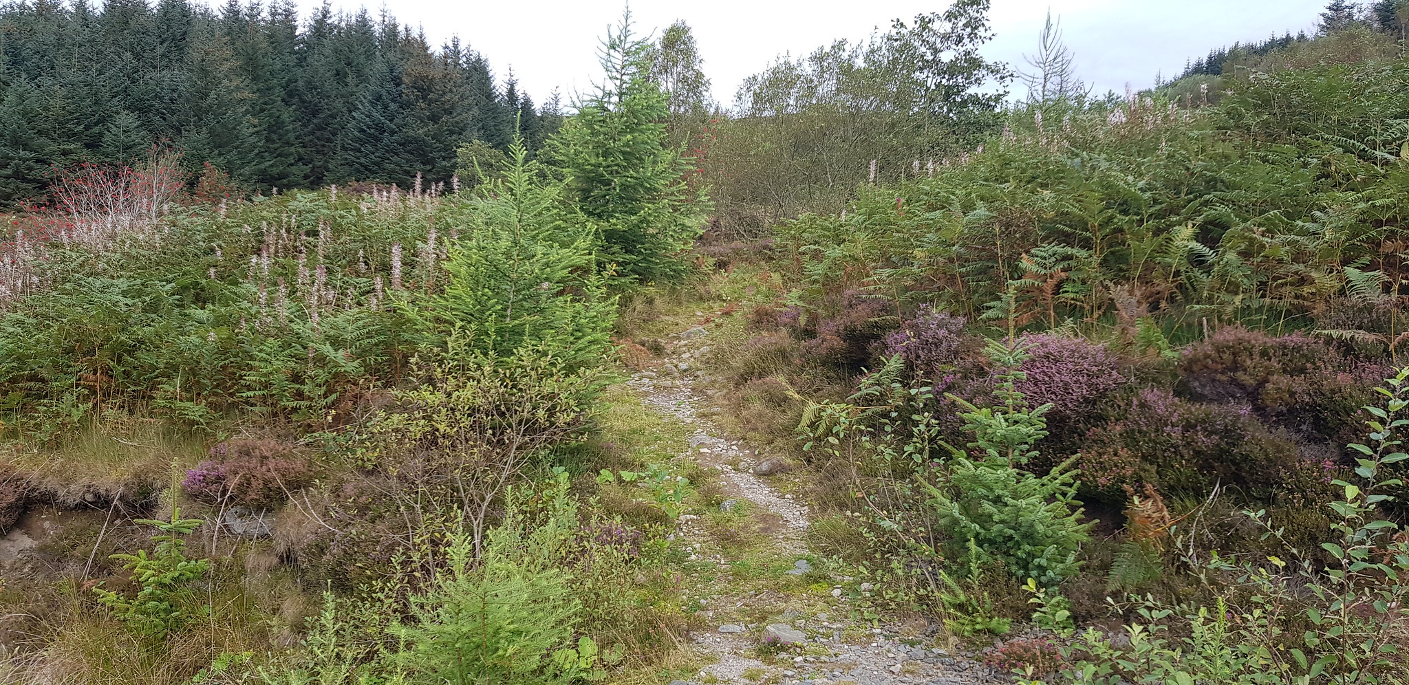
Once across the track the trail reverts to a path

The bracken may be a problem when it is in 'full bloom'

Gaining height and looking down on Loch Doon, the trail seems to head up the Wee Hill of Craigmulloch, so rather gain unnecessary height I opted to traverse staying above the long grass
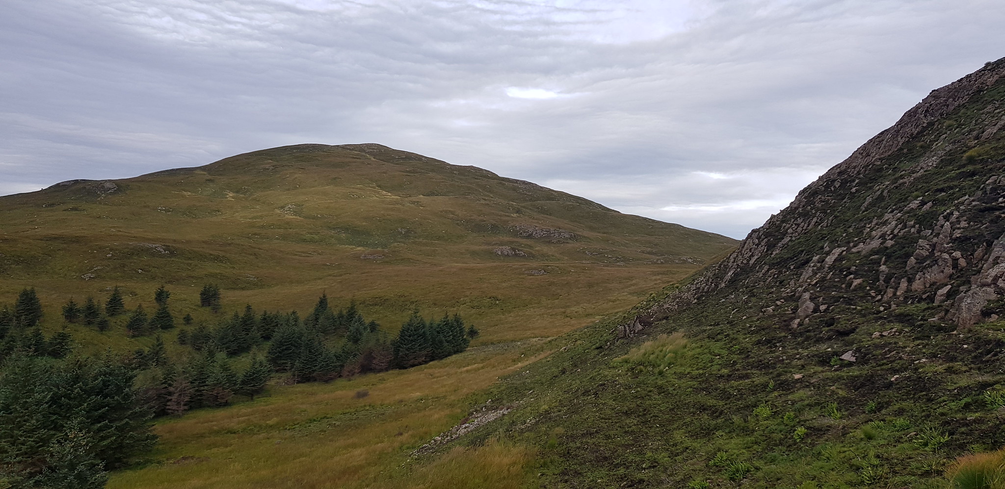
I had gained extra height so will be losing it soon, Craiglee is the lump in the middle
Long tufty grass to battle with, Loch Doon peeking through

Looking back, I had traversed just above the tree line on the left of the photo

Looking back, not far from the summit
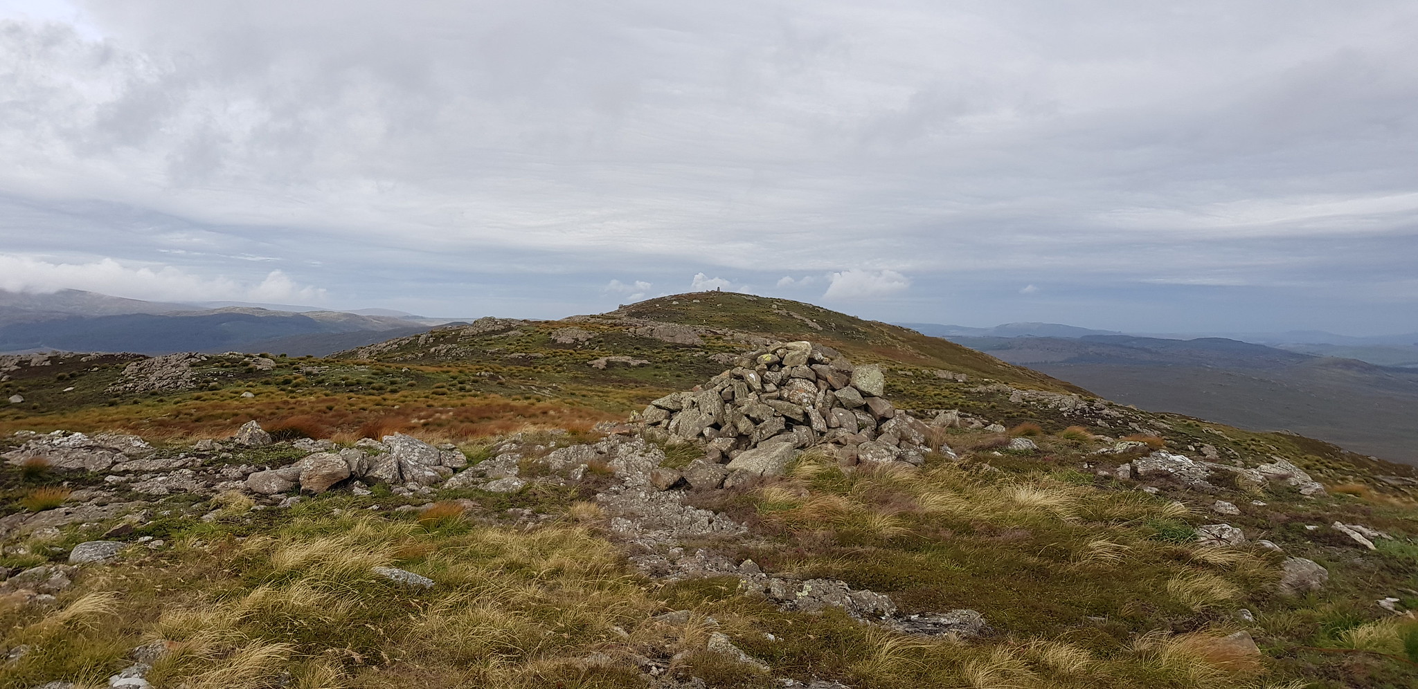
Summit trig of Craiglee in the distance

Trig on Craiglee

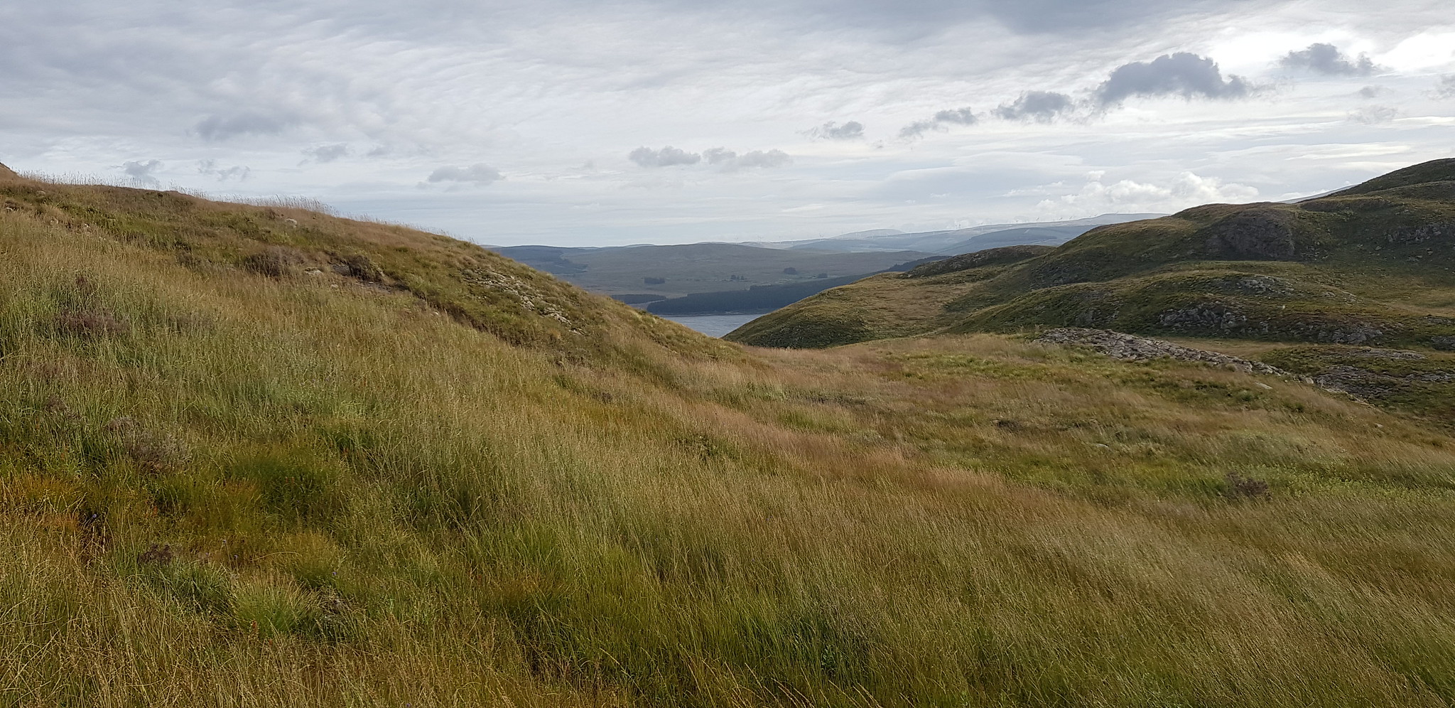
Loch Finlas

Loch's Finlas & Doon

Loch Doon

Video taken on the summit of Craiglee, it was a bit blowy
The summit of Criaglee offers great views and almost seems like it is an island as it appears to be surrounded by Lochs. The whole of the east is dominated by Loch Doon, Loch Finlas to the north, Loch Bradan Reservoir to the west, Loch Riecwar to the south west and Loch Macaterick to the south. After my usual photos I headed back down the way I came up and was back at the car after an hour and a half. I had already programmed my satnav with the start points for the 3 hills, next on my menu was Grey Hill just south of Girvan. The satnav informed me it was 42 miles so after removing my boots I was on my way.
Grey Hill, 290m, 4.6km, 1hr 15mins
After just over an hour I parked up in the layby on the west side of the A77, south of Girvan the road isn't too busy unless of course a ferry has just arrived.

Looking back at the car through the undergrowth

Good track to start off

Low level shot of Ailsa Craig

Looking down on the car

Looking back down the track, Girvan in the distance

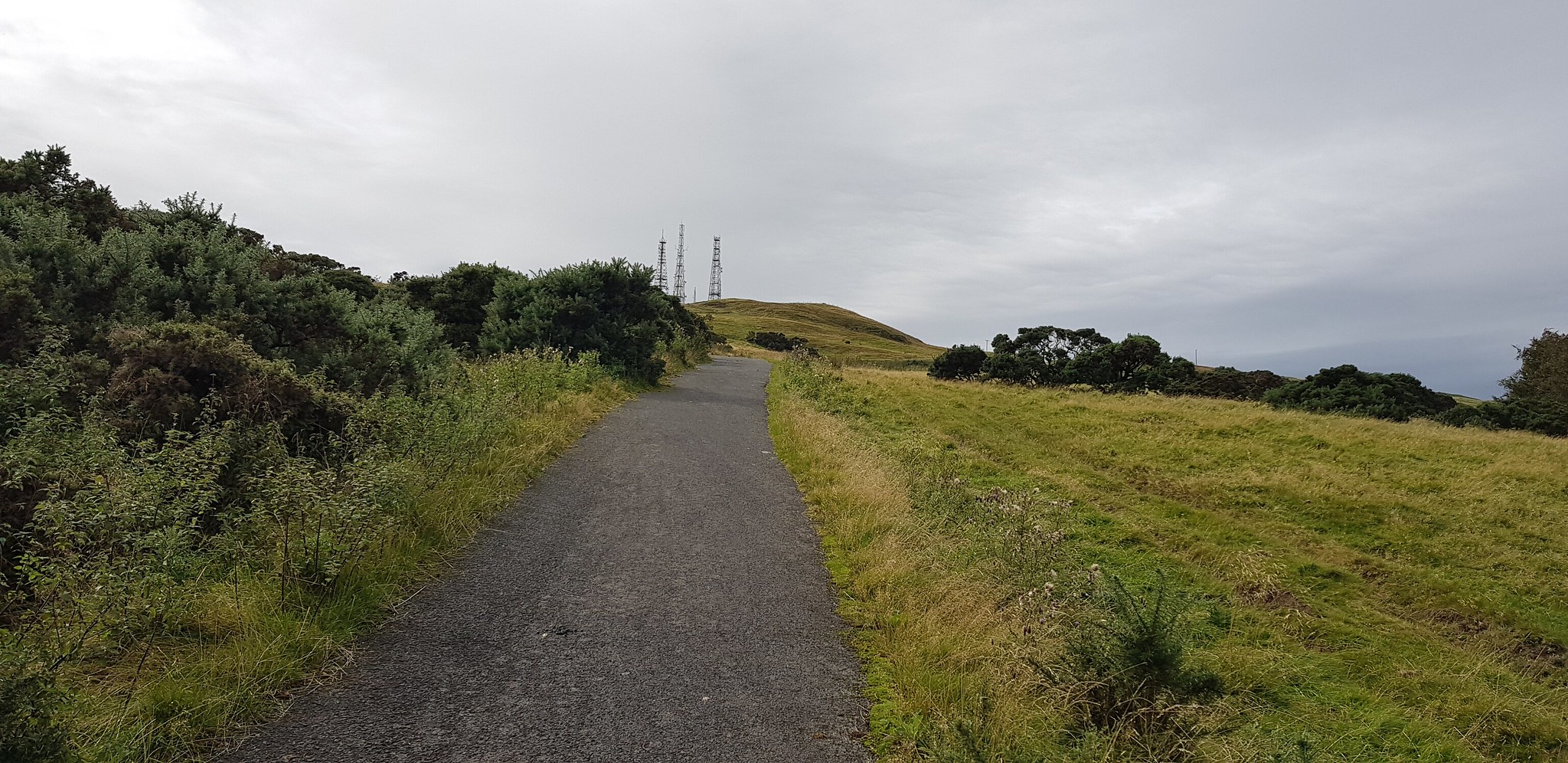
Track goes up to the mast and then turns sharply left uphill
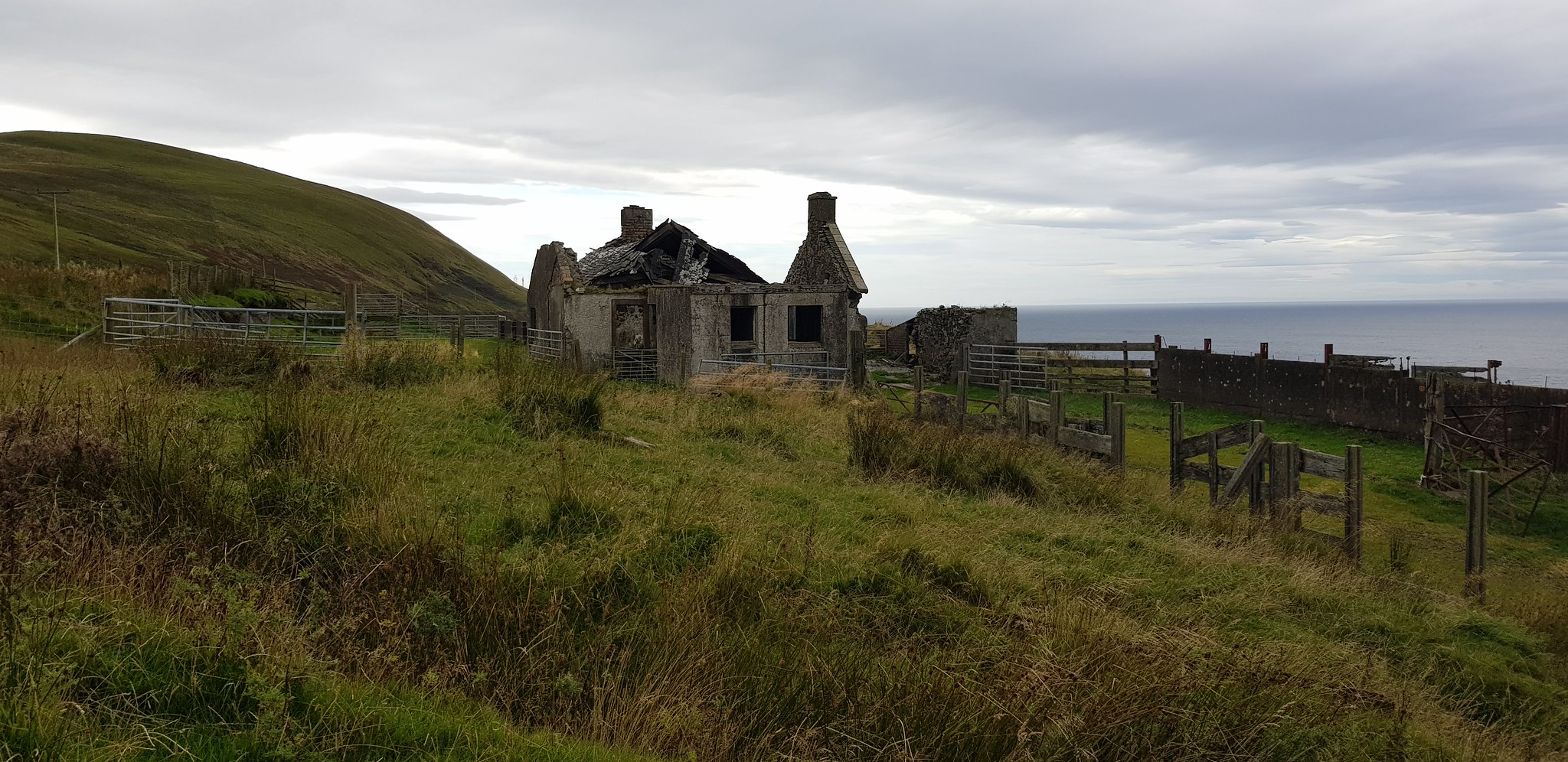
Derelict building

Track becomes a bit grass covered and leads into a field where sheep were grazing happily - until I appeared

I opted for the direct route, Grey Hill in the distance. Looked fairly easy from here, turned out to completely the opposite

Tufty grass before having to scale a wall then a barbed wire fence

After scaling the fence the going became tough, long tufty grass is bad enough but on an incline is really energy sapping
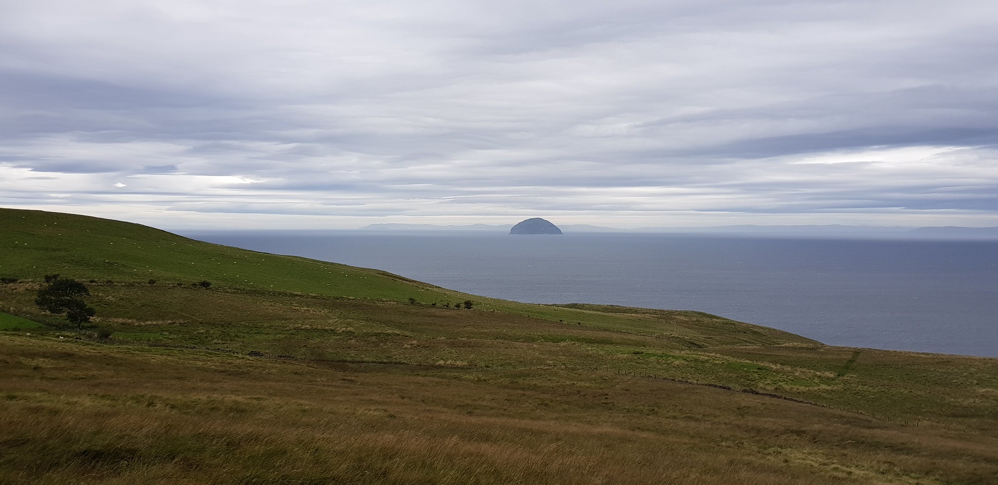
Looking back down, Ailsa Craig just happened to be in the photo

Looking south if you zoom in you may notice a gate, that is my target for the descent rather than scale the fence

Looking north, grass not as long now so the going was much easier

If you look directly at Ailsa Craig that was my ascent route
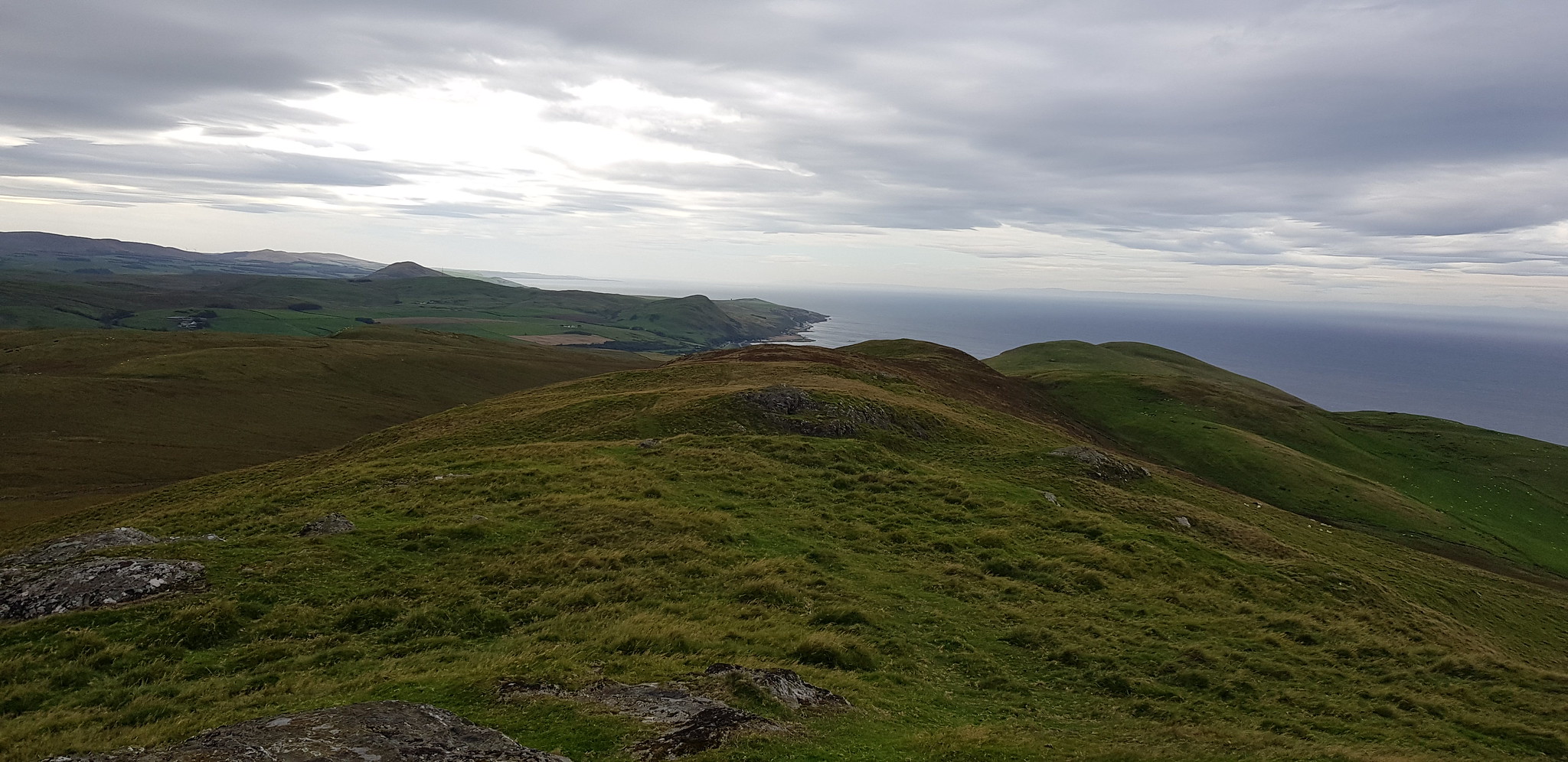
Looking south along a broad shoulder that would initially be my descent route

Girvan in the distance

Video on the summit of Grey Hill, even windier than Craiglee

Ailsa Craig zoomed with a boat passing in front
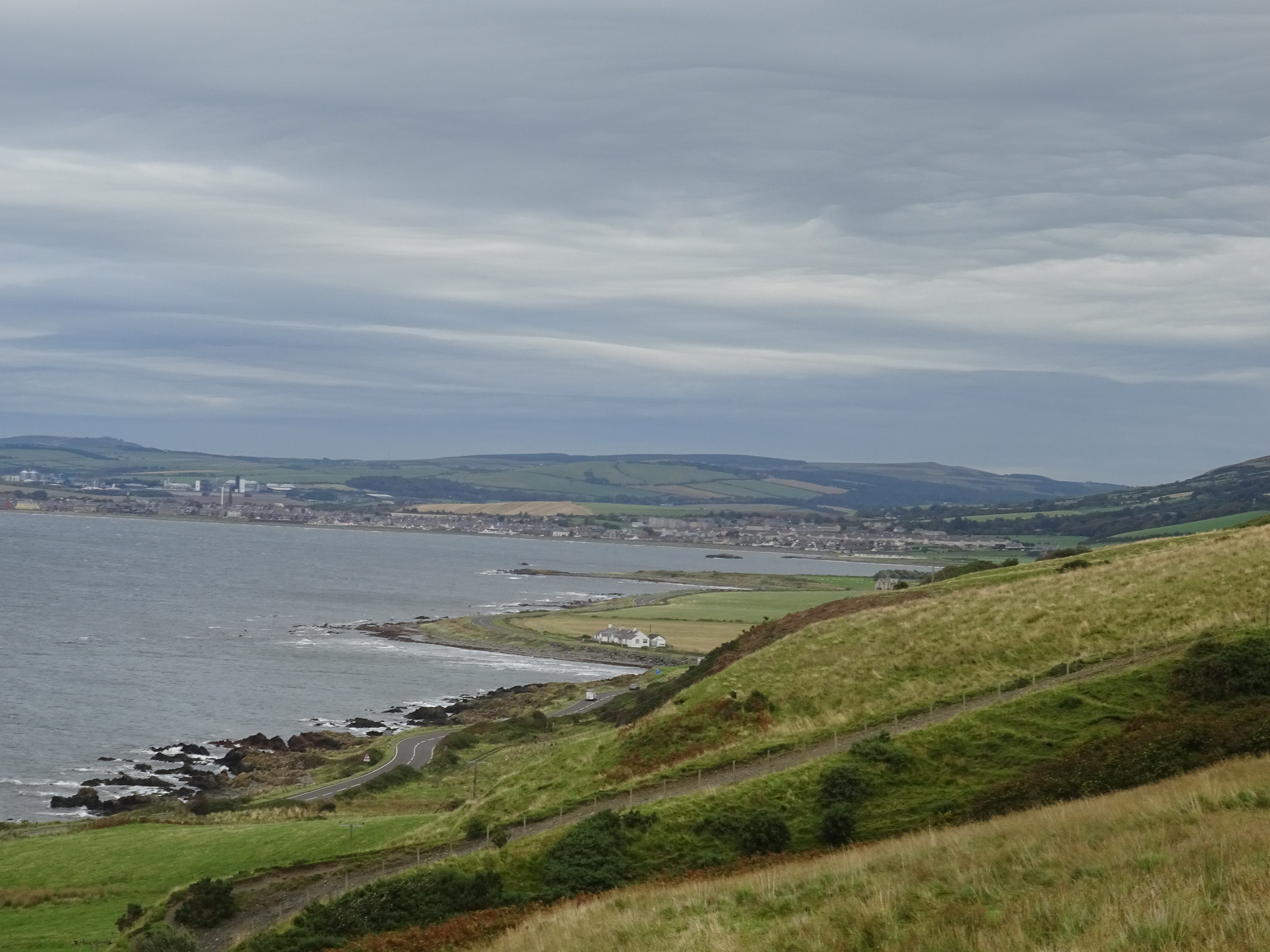
Girvan taken on my camera zoomed
Once in the car it was a shade over 20 miles to the start of the next walk, which took me past Trump Turnberry. I haven't been on the road for over 30 years and the buildings and have been spruced up a wee bit.
Brown Carrick Hill, 110m, 3.6km, 55mins

My parking spot on the single track road, luckily the ground at the side of the road is dry and firm

I opted to follow the single track tarmac road up to the masts from the east

Looking back down the road to the gate that you have to walk round
Looking ahead to the masts

The area is fenced all the way round and I was a wee bit concerned that I may have to walk all the way round. The good news is that the fence has been trampled down as you approach and at the other end the fence has also been lowered

It says on the GPS mapping that the masts are Police masts

With the secure area behind there are a couple of fences to negotiate, both have styles
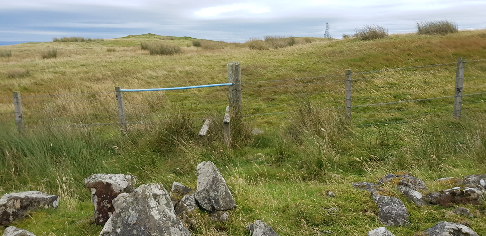
2nd style

Looking across to Ayr from the summit of Brown Carrick Hill

The masts from the trig

Video from the summit of Brown Carrick Hill, very windy now

Ayr taken on my camera zoomed

Ayr zoomed again
This turned out to be a very enjoyable day, even though it was rather windy. Three totally different hills all offering great views, Craiglee was my favourite, Grey Hill turned out to be much tougher than I was expecting and Brown Carrick Hill was very straight forward.
