free to be able to rate and comment on reports (as well as access 1:25000 mapping).
Corbetts: Carn Dearg, Carn Dearg
Date walked: 22/01/2011
Time taken: 7 hours 45 minutes
Distance: 30km
Ascent: 1500m
Weather: Mild, inversion with strong sunshine above. Greying over later in day
I've been going on about my new year's resolution to use more public transport to get to the hills a bit, so I thought it was time to put my money where my mouth was. I backed down from an overnight trip to Glenfinnan for family reasons, but as the weather wasn't looking so promising, I didn't mind. I've spent quite a bit of time this year poring over maps and timetables, and I've come up with all sorts of ideas, some of which I'd never considered before. I'd resurrected this one from some time back, as I had previously planned on approaching by bike from Bridge of Oich via Glen Buck.
One of the great things about not driving is not having to return to the same point. I had noticed that with a bit of bog crashing, I could drop off these hills to the north and follow the Corrieyarick Pass route back to Fort Augustus.
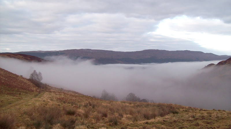
I got up at the ridiculously anti-social hour of 5.30 and cycled into town in time for the 6.40 bus to Fort William (strangely, my wife didn't offer to drop me off!). This had me standing outside the youth hostel at Laggan at almost exactly 8 am. It was just starting to get light and everything was thick in mist. I had caught a few glimpses of the moon on the road down though, so had hope that I would be above it shortly.
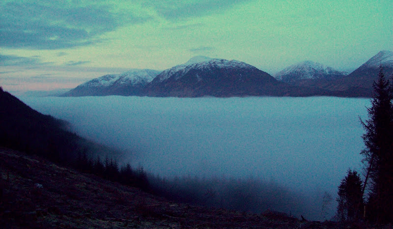
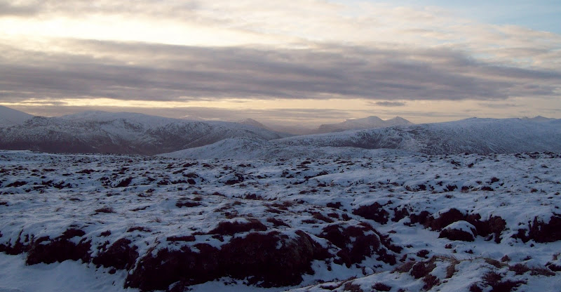
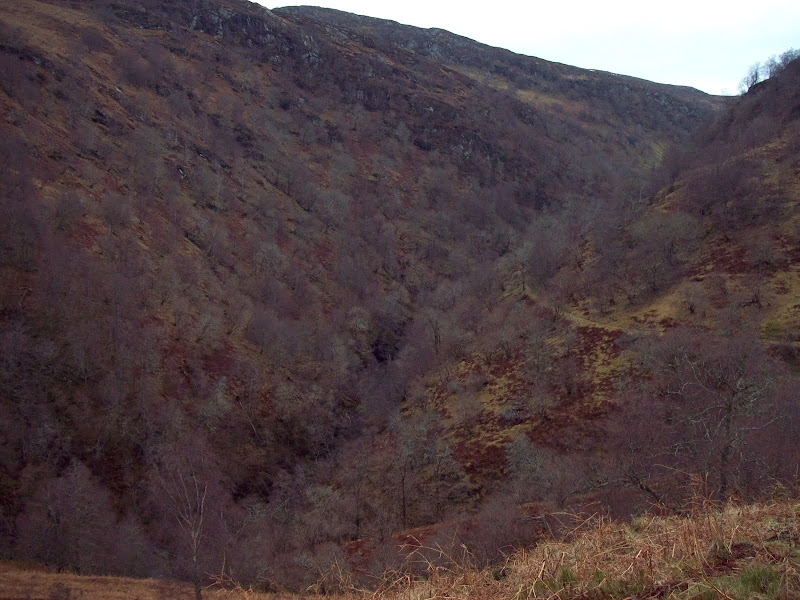
I picked up the forestry track a short distance to the N of the youth hostel and followed the various branches as they zigzagged up the hill. This wasn't the most scenic start, but height was gained fairly rapidly. After half an hour, I broke out of the mist to get a great view of Meall na Teanga.
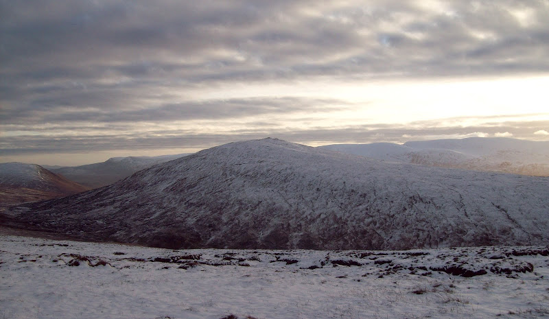
Meall na Teanga and first sighting of the inversion (poor quality due to lack of light):
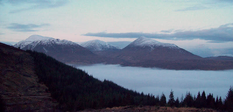
Views improved as more height was gained, although the conifers were still in the way.
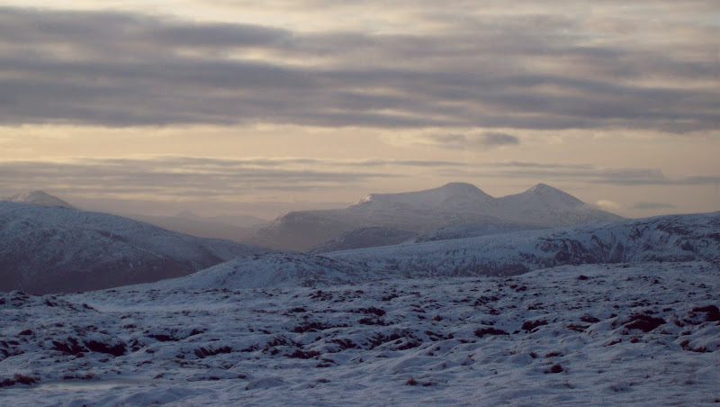
Sron a Choire Ghairbh and Ben Tee:
Ben Tee again:
As the track leveled out, I knew I had to find a way through a strip of plantation to get onto Beinn Bhan. I hadn't expected this to be easy, but aside from the initial ditch crossing, it was better than expected. Unfortunately, beyond the boundary deer fence, there were fresh plantations which were much closer together. This bit was steep, but I was able to string together clearer sections to avioid too much eye pokage. Another deer fence to be climbed and I was free. The sun had well and truly come out by now as well, and things were looking much better than forecast.
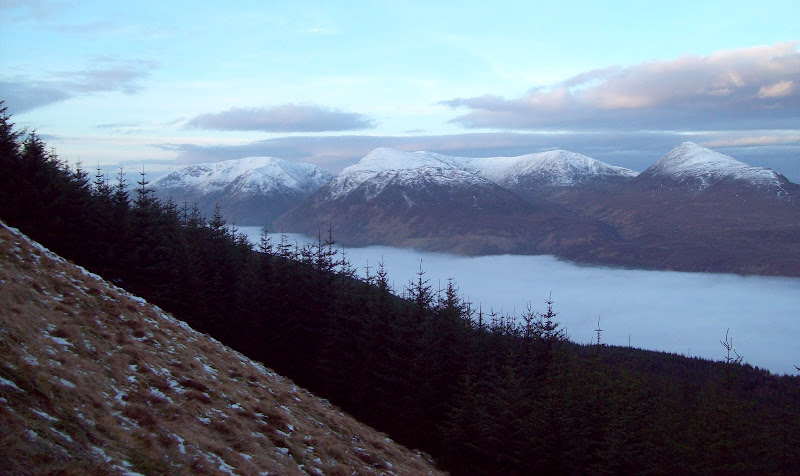
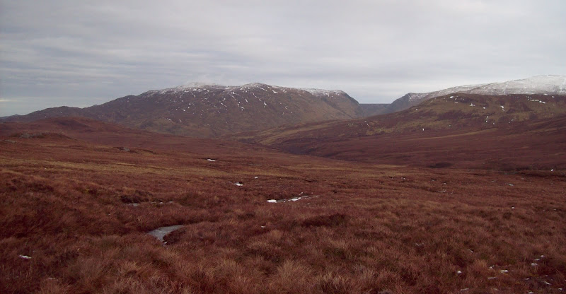
The whole lot:
North up the Great Glen, Meall Fuar-mhonaidh right of centre:
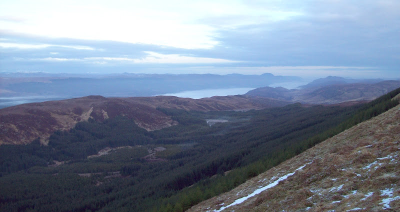
The same view again (from above the treeline):
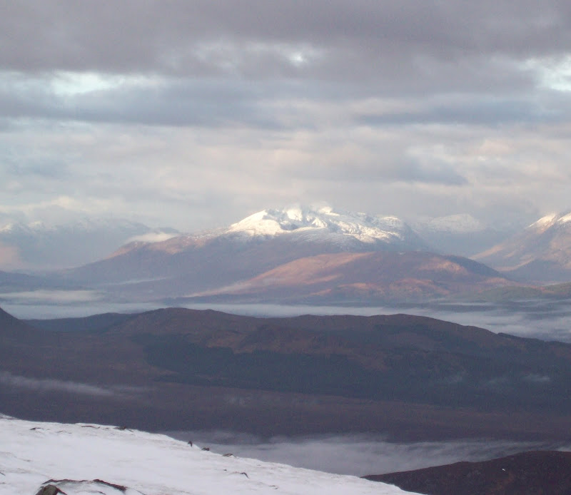
Suddenly, the Aonachs and Ben Nevis popped up on the right, looking spectacular.
Aonachs to Ben Nevis from Beinn Bhan:
On the ridgeline, I could suddenly see where I might have a problem getting down in time for my bus at the end of the day. The whole route over to the southern Carn Dearg consisted of soft melty snow and peat hags. Joy.
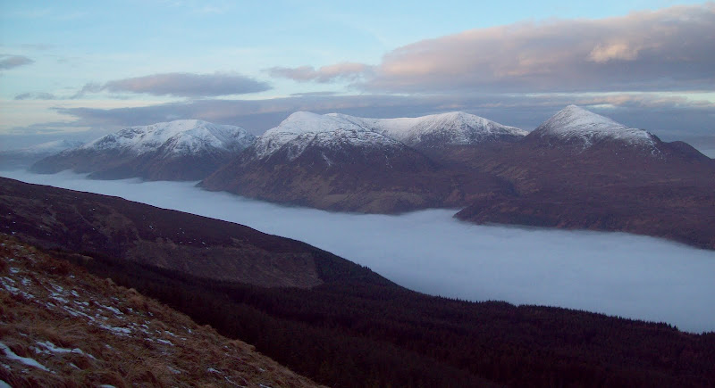
Back of Creag Mheagaidh from Beinn Bhan:
Another Carn Dearg and the Easains:
Easains zoomed:
NW across the Great Glen:
Recognise these?
I set to work, crashing over the broken ground. Luckily the boggiest bits were frozen. I climbed to the 712m summit of Beinn Bhan and contoured to the south of Carn na Larach. Many grouse and deer were scattered over the plateau. After lots of climbing in and out of peat hags, I was finally descending to the head of Gleann Eachach. On the other side of this, the final ascent to the southern Carn Dearg was fairly short.
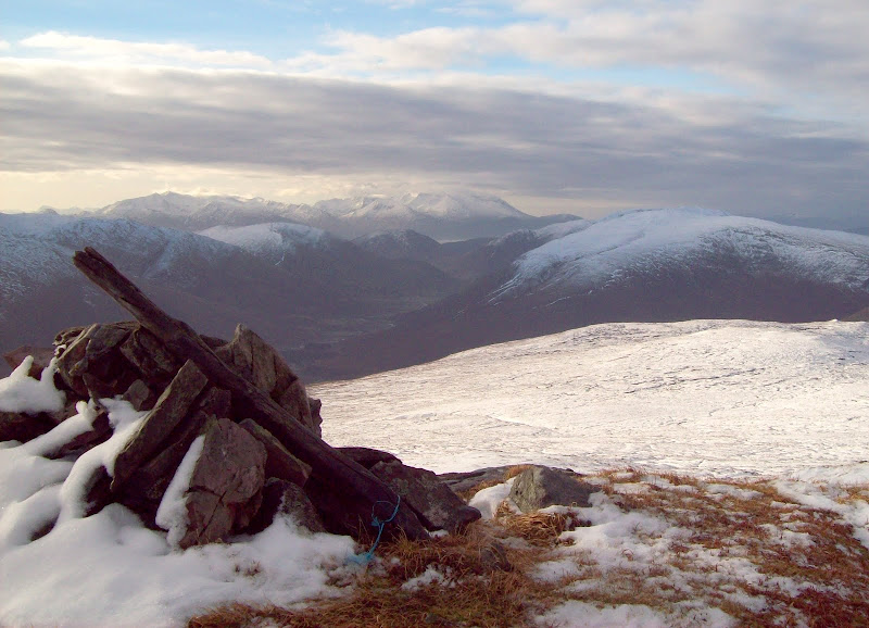
Finally - the first Carn Dearg (southern one):
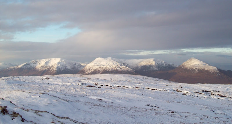
It had taken me almost exactly three hours to get here and I was hungry. The sun had been shining on various different hills as the breaks in the clouds moved around, and finally it was on me. This was a great spot, feeling very remote. The only signs of habitation were in the upper end of Glen Roy. Meanwhile, I could see all the way from Ben Wyvis right down to Ben More on Mull (not that the camera picked these up).
North to Carn a' Chuilinn:
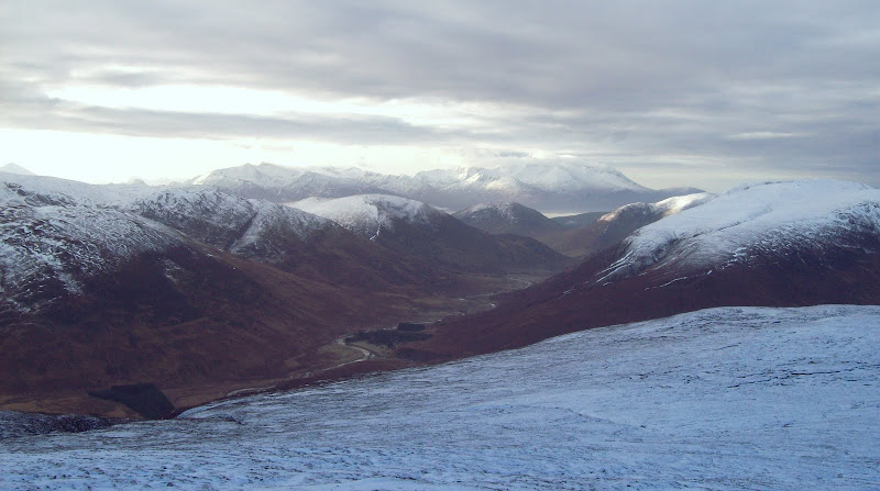
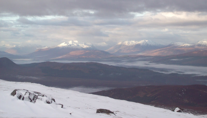
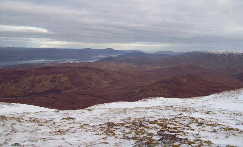
Down Glen Roy to the Aonachs/Ben:
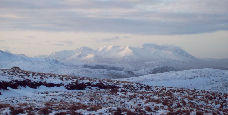
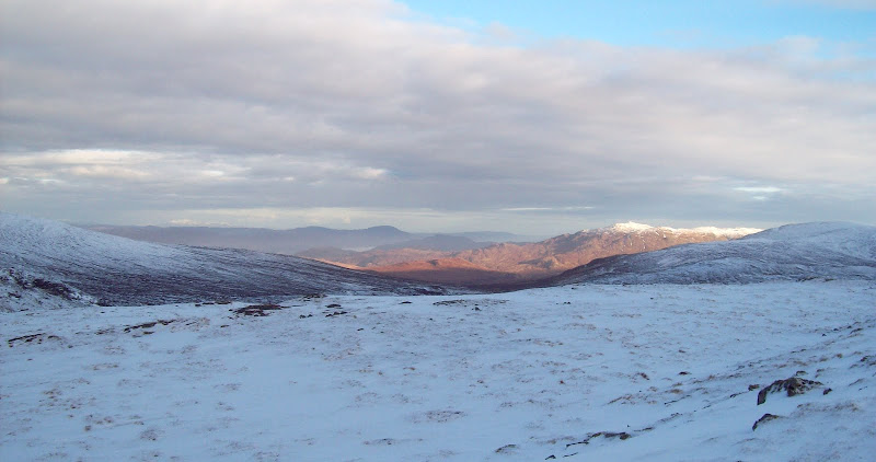
Looking east. Cairngorms in background, Loch Spey to right:
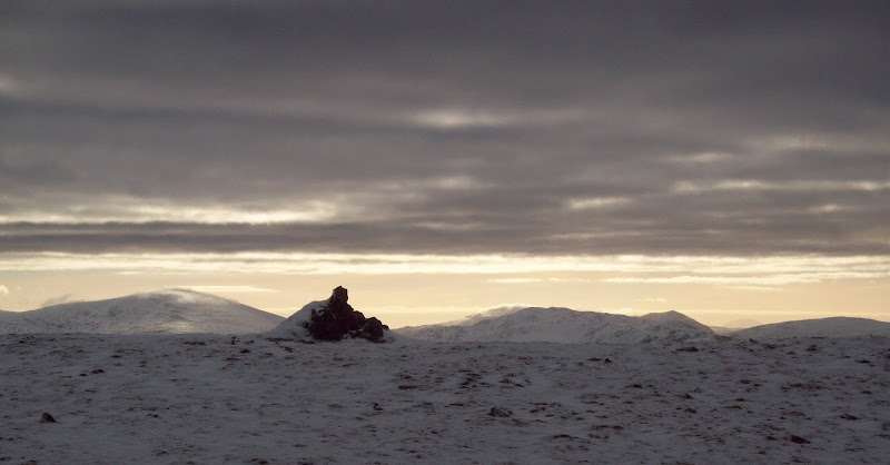
The next Carn Dearg (northern one) and Glas Charn:
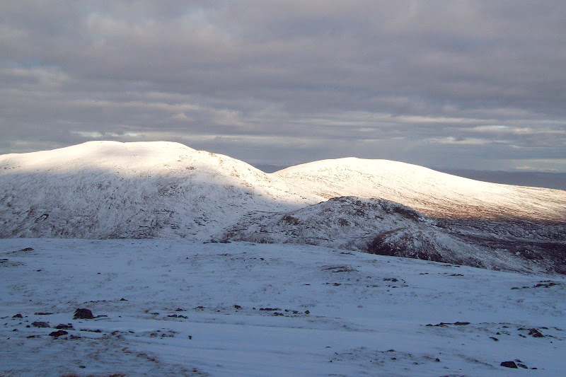
What a great day!
Glen Roy/Aonachs from Carn Dearg (S):
The descent to the col between the Carn Deargs took about 10 minutes, and passed through some more peat hags. Somewhere on the way up the other side, I dropped my hat. Having wasted a good hour or so on previous occasions, I didn't go back to look for it, as it would put me behind schedule. Luckily it wasn't that cold. If you ever find a hat between the two Carn Deargs, give it a good wash before using it - I had a pretty sweaty head earlier on!
Although the northern Carn Dearg looked craggier and potentially more interesting, I didn't enjoy the summit as much. Probably as the sun had gone in.
Glen Garry, Spidean Mialach, end of South Glen Shiel ridge:
Spidean Mialach again:
South from summit of Carn Dearg (N):
I moved on fairly swiftly to the subsidary top of Glas Charn - less peat hags on this ridge. From this summit I could see the way to the Corrieyarick track. It looked like a long way and pretty boggy! I knew I had two hours to reach the track if I wanted to enjoy the lower part of Glen Tarff rather than running past it all.
Carn Dearg (N) from Glas Charn:
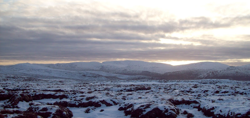
North to Glen Tarff. The way ahead is to the right of the photo:
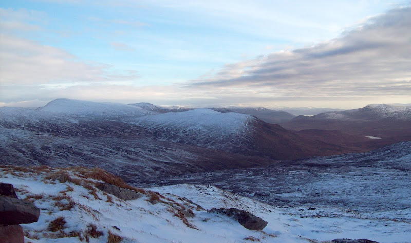
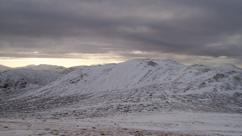
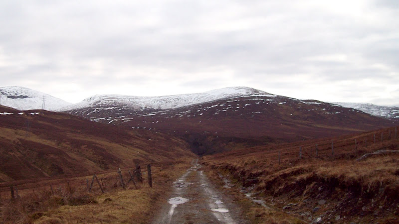
Carn a Chuilinn and Corrieyarick Hill:
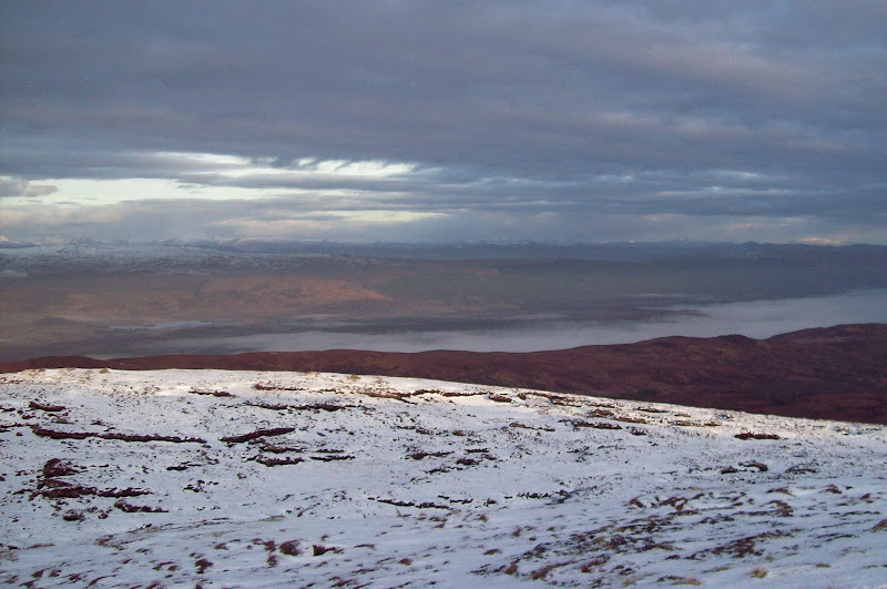
Actually the going wasn't that bad. Again, the frozen ground made the going easier than normal. Eilrig looked like it might provide a nice little outcrop to cross over, but I missed it out. I hit the track in just over an hour. Great stuff, as It meant I could take the walk down to Fort Augustus at a fairly leisurely rate. Moving out of view of all the great hills on the other side of the Great Glen coincided with the sky graying over, so I wasn't too bothered. Even now, the weather was better than forecast.
Ah, a track. Looking back up the Corrieyarick Pass:
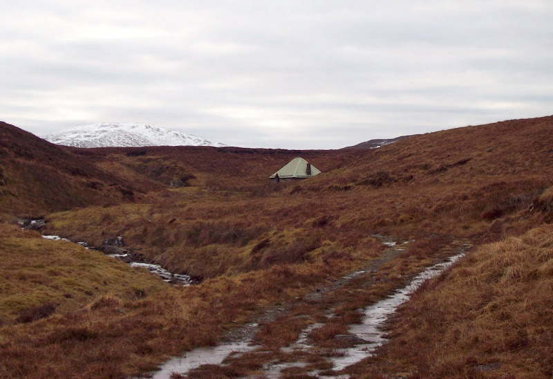
I dropped into Blackburn Bothy on the way past to see what it was like. It looked nicely weather-proof and well clad. You could probably get the temperature in here quite toasty with a fire going.
Blackburn Bothy with Glas Charn behind:
I broke off the military road to have a closer look at Glen Tarff. This looks intricate and exciting on the map, and it is. I dropped onto a strange spur which jutted out into the gorge. I wasn't in the best place to see all of the waterfalls and rapids in the bottom of the gorge, but it was a great spot for a second lunch.
Looking over the gorge of Glen Tarff:
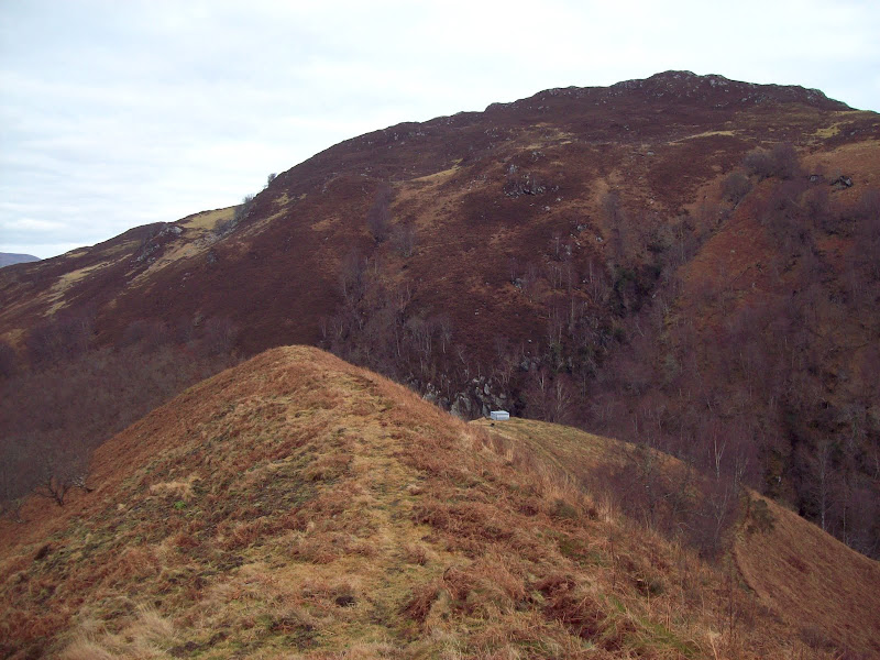
Glen Tarff:
The sides of the gorge were steep, and estate tracks ran up and down both sides. Mine contoured down the west side (there was a wild boar up here), crossing an old stone bridge at the Culachy Falls. Sadly these didn't photograph well. You could easily spend a half day exploring this part of Glen Tarff. I was back into the cloud by now, although it was more broken than earlier in the day.
Back into the cloud:
Down at Culachy house, the route was diverted around the immediate grounds. I've been round worse bypasses than this, but it was a bit wet in places. Once past the lodge, I was allowed off the pauper path and back onto the main drive. To be honest this was almost as muddy as the path, as a lot of construction traffic appeared to have been using it.
All that remained now was to walk back into Fort Augustus past the grave yard, a pleasant stroll to end the day.
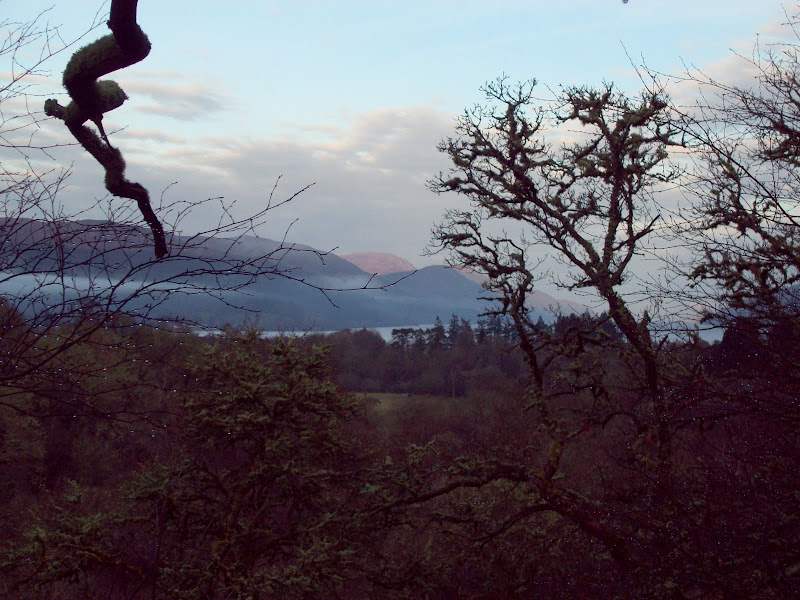
Loch Ness and Meall Fuar-mhonaidh:
I made it with a good 40 minutes to spare, which pleased me. My bus then turned up 13 minutes early - seems that Citylink don't like updating their online timetables. Fortunately this didn't cause me any problems, but it could've done if I'd been running later. Must find out where they keep their up to date timetables!
This definitely required more effort than my previous plans for these hills, but it was very much worth it. For some reason I'd always imagined myself doing these hills in the clag, so it was definitely a day that exceeded expectations.
