free to be able to rate and comment on reports (as well as access 1:25000 mapping).
A short notice outing and the first since the WH meet which was a week ago. I have been watching the forecast and the west certainly looked better than the east, so west we were heading.
I opted for the 2 near Bridge of Orchy as I thought we could manage them in the daylight hours available.
George volunteered to drive and we arranged to meet at Inverkeithing P&R at 7am, breakfast at South Queensferry and then head NW.
The traffic was non existent and we were off walking about 9am. Our plan was to do the route clockwise, however we had a bit of navigational hiccup (for a change). We reached the old car park and instead of carrying straight on we turned into the farm area. The farmer who was in his barn asked where we were going so we told him "the hills" and he said rather than turn round we could continue.
We made our way towards the railway line and the underfoot conditions were anything but fun, undulating and rather squidgy.

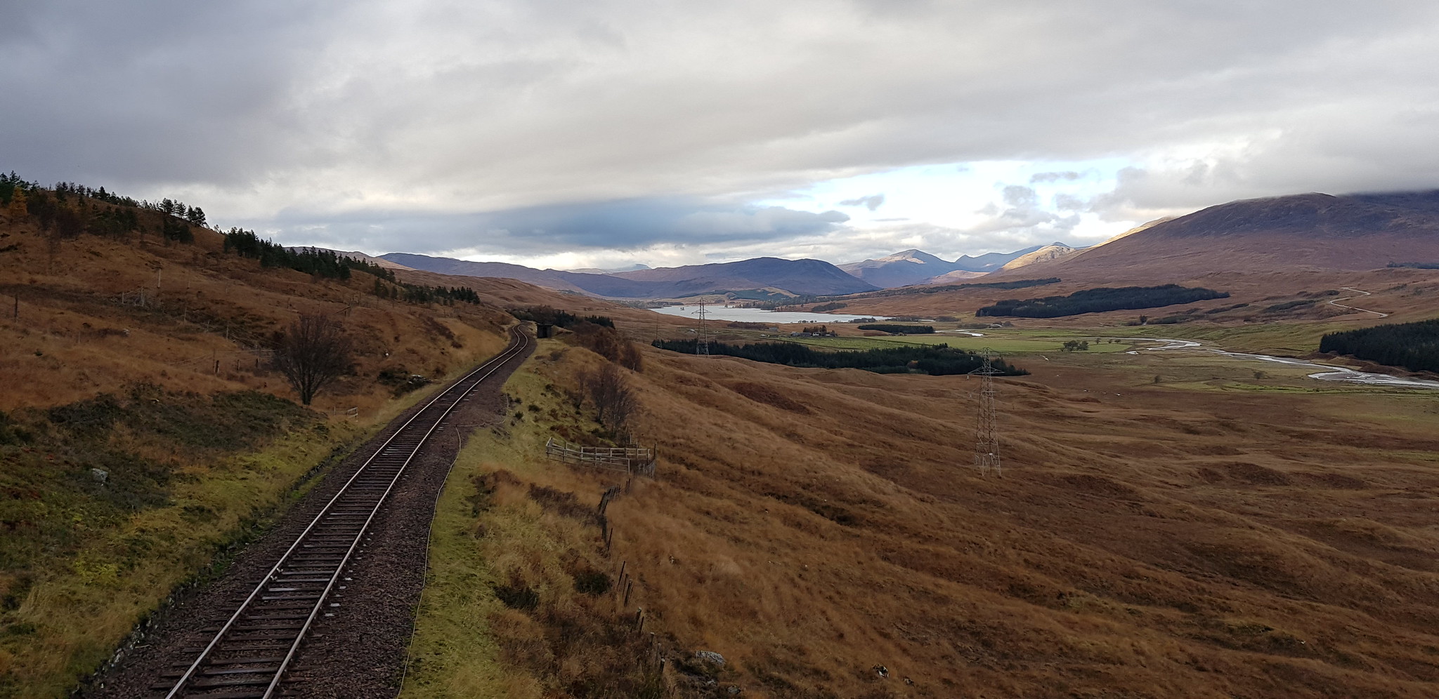
Photo from the car park of Loch Tulla and beyond

That is where we are heading, looks like a volcano

The track that is about 1km to the old car park

Kind of shows the terrain we are used to and love

One of a few deer fences we encountered

We kind of felt we were being watched as the vehicle on the track followed us, we tried not to trespass as the £1000 fine is something we didn't fancy

Rather than trespass we opted to cross the line using this bridge

Parminder demonstrating the bridge, the rail vehicle is still lingering
Looking back down the railway line towards Loch Tulla

Once over the bridge we followed an ATV track which wriggled it's way uphill

Was very damp underfoot

Looking back and across towards Glencoe

This is where we turned right and opted for the direct route uphill

Looking back down, the path that heads east can be seen if you zoom in

We initially kept this side of the burn and crossed it higher up

Gaining height and looking north

Indicates the steepness and the terrain

Parminder & George loving the challenge

Parminder waiting for us near the top of our ascent
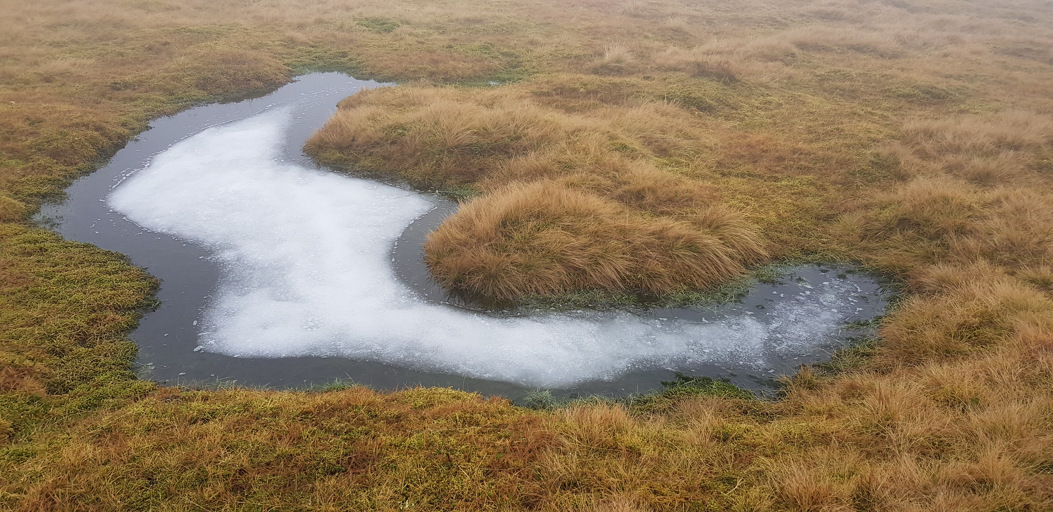
Interesting frozen puddle
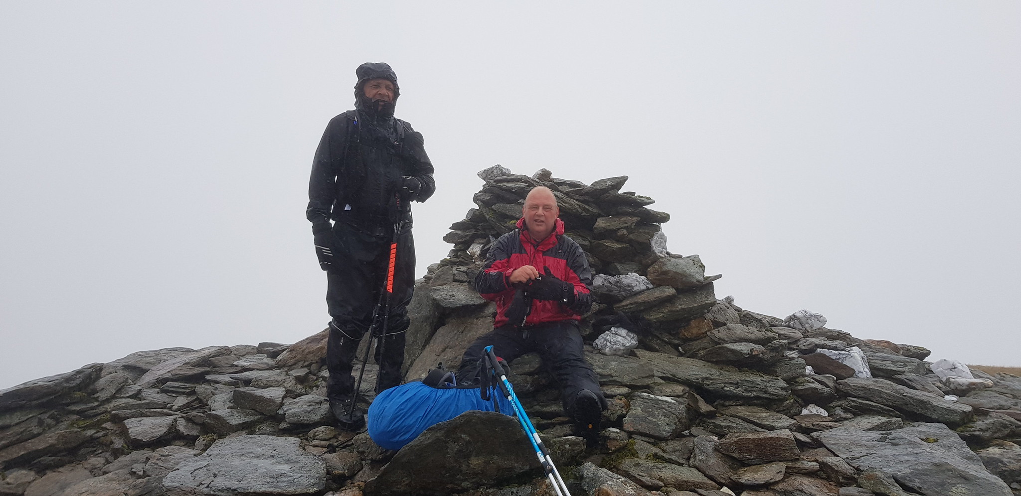
Happy smiling faces on our first summit
After leaving the summit we followed George on a good path, however we were heading down on the descent route for an anti clockwise route. Our route off the summit should have meant backtracking on the path we ascended on. I realised when we were on a narrow ridge that we had to stop and turn around, luckily we hadn't gone very far. One of the joys of navigating in cloud and you can't see where you are going.
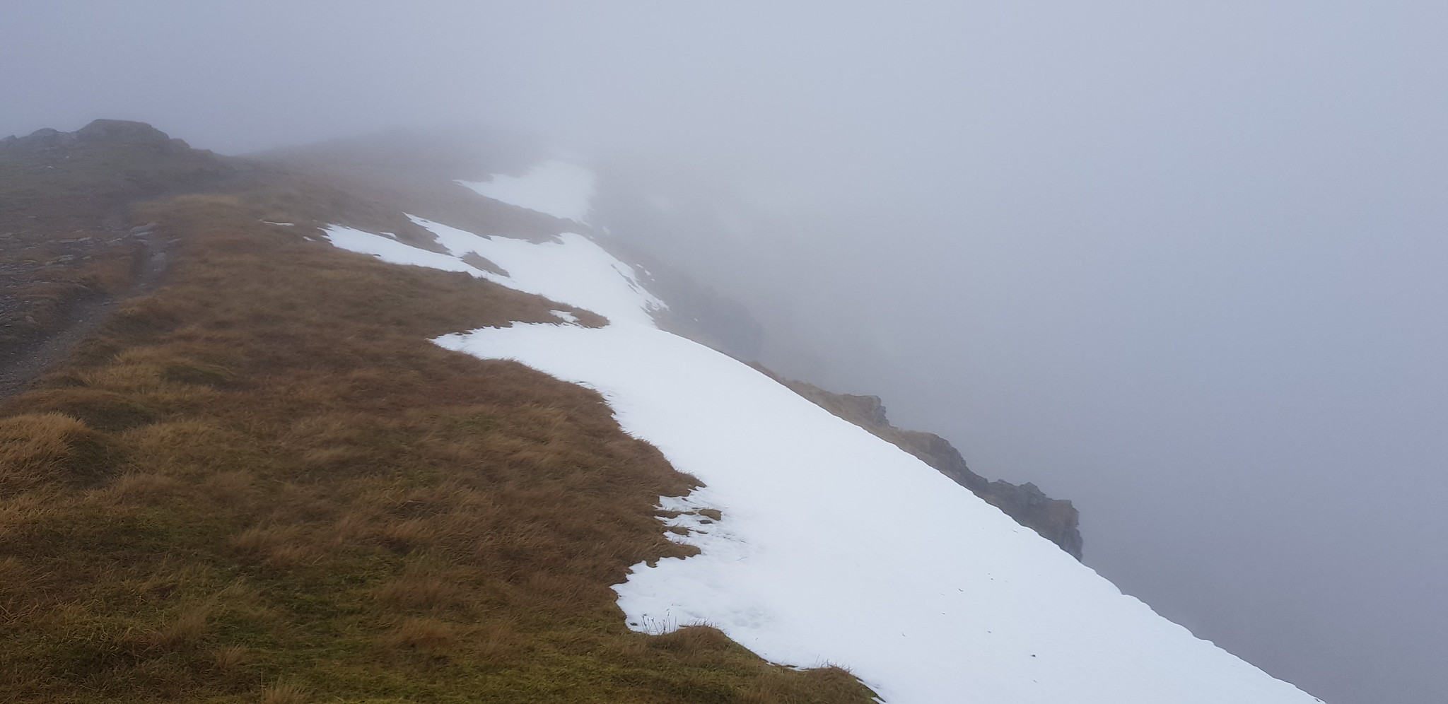
A few patches of snow

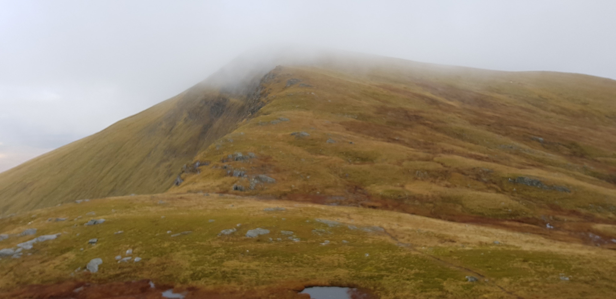
Easy walk along the broad ridge

We descended a wee bit and the cloud was swirling around
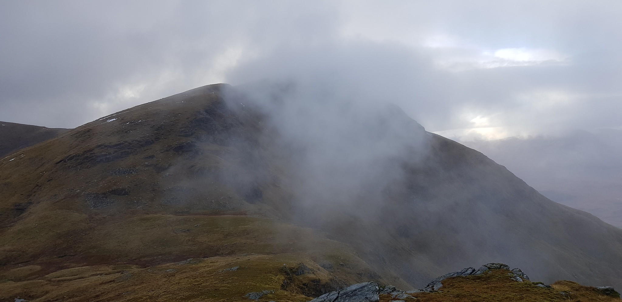
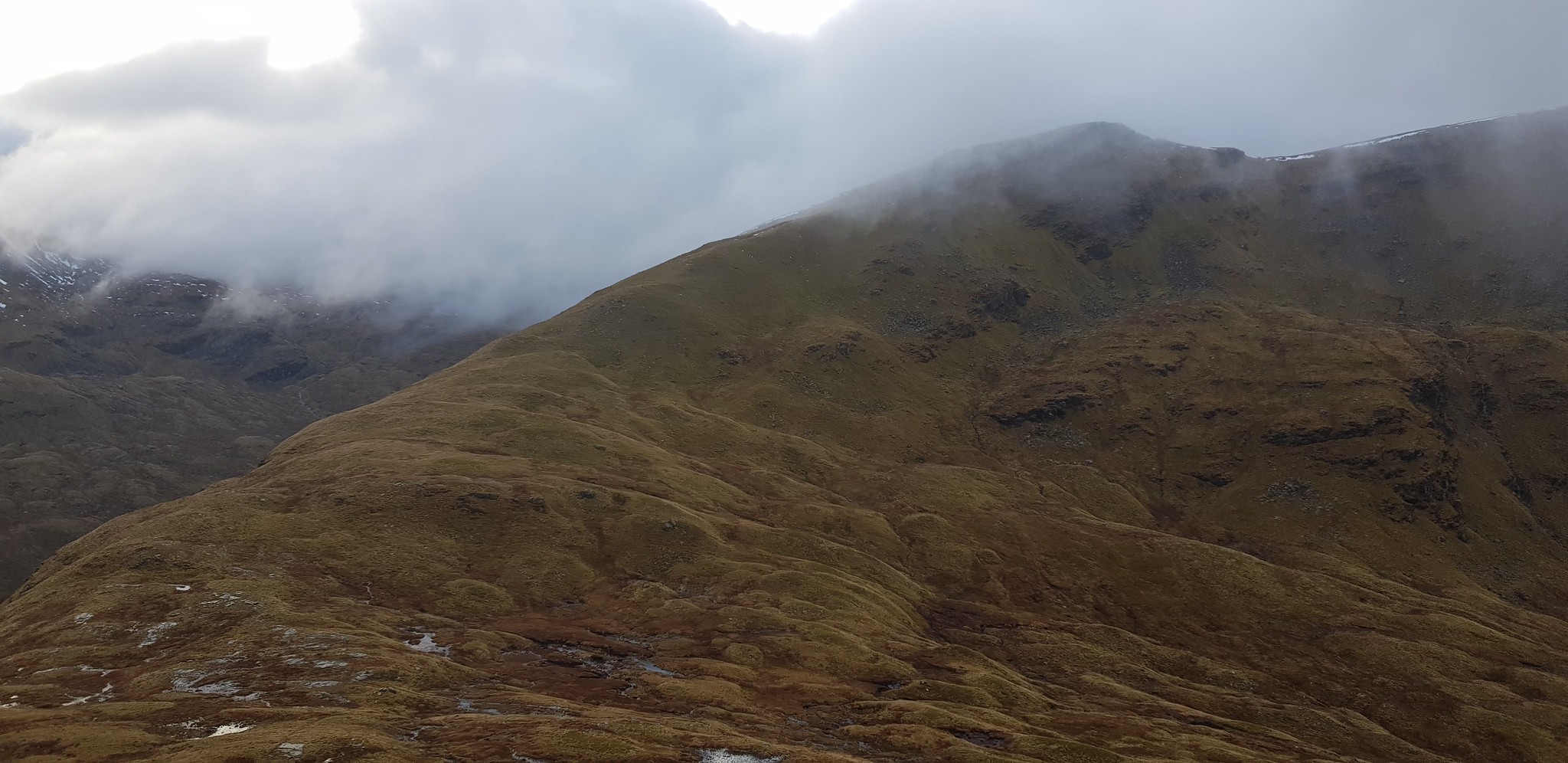
We will be going up there

Bit of descending before we start going up

Getting nearer

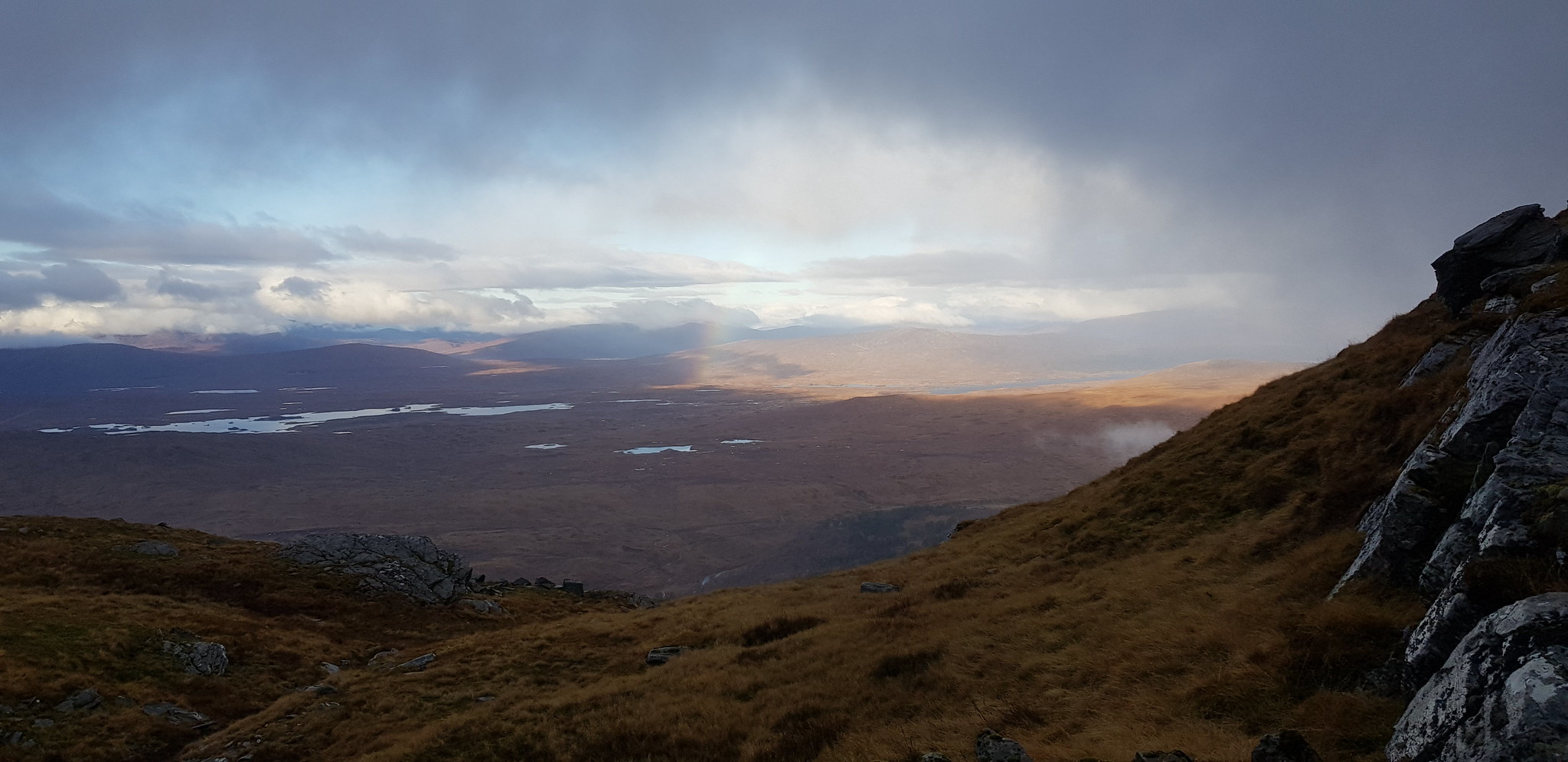
Rannoch Moor to the north

Clear for a few minutes

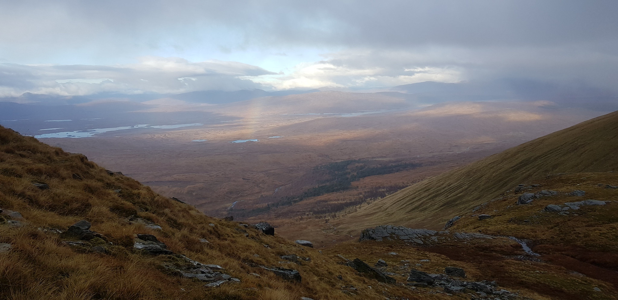
Better shot of Rannoch Moor
Rannoch again
Looking back

This was a really enjoyable ascent, good path
Rainbow just about captured

Loch Lyon in the distance

Rannoch with the sun making appearance

Still ascending

Loch Lyon again

Sun out again, but not on us

Video taken overlooking Rannoch Moor

No photo's of 2nd summit, we are now on the long gentle descent

Another frozen puddle

Hills to the SW

More hills to the south
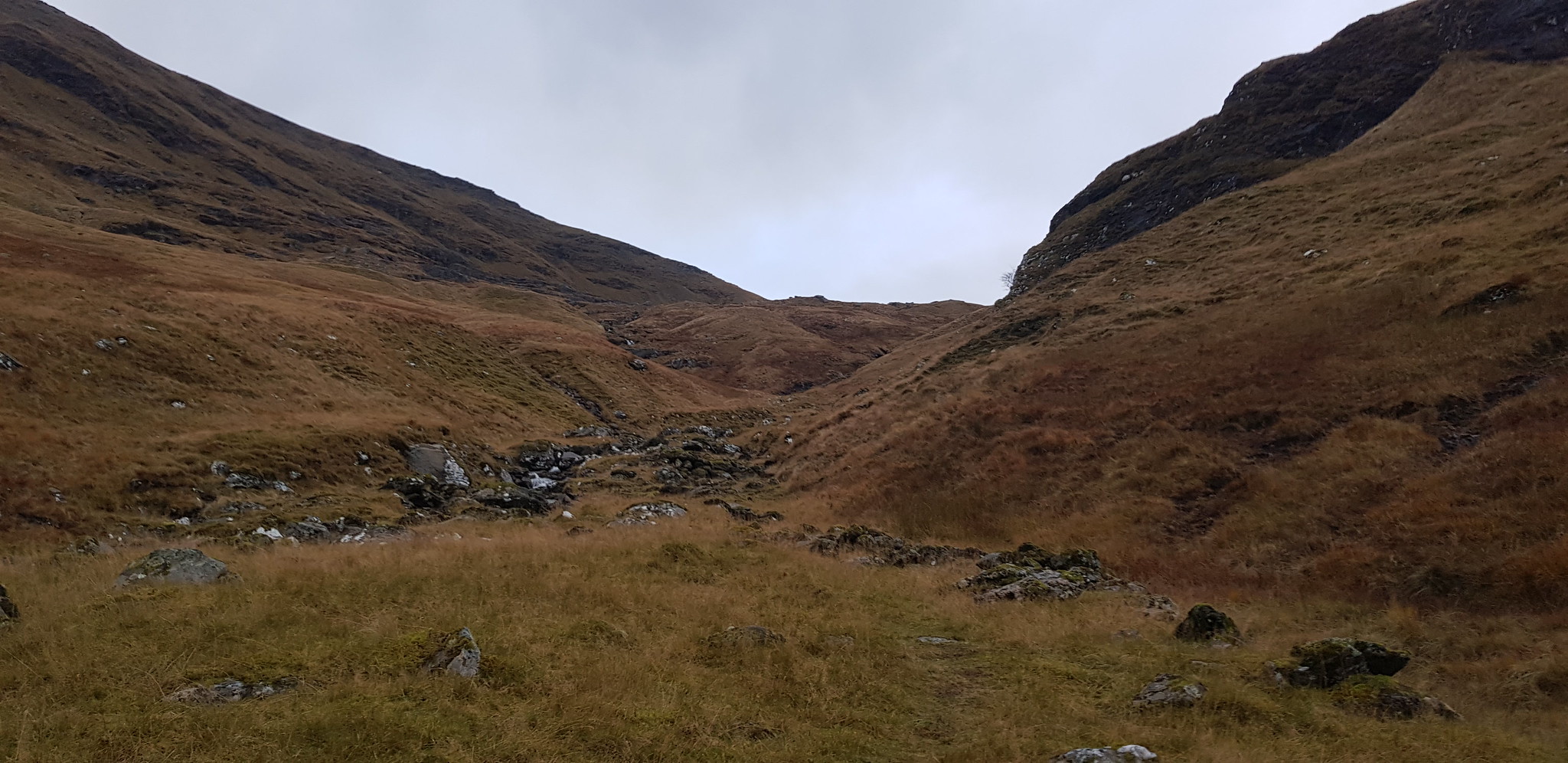
We have descend down to the bealach and the real bogginess begins

The way down and back to the car

George in his favourite position on the descent
Looking back towards the bealach
Despite the yukky conditions for most of the day it was still great to get out. Huge thanks to my usual companions for the driving and banter. I should also mention we only just made it back to the car without having to get out the head torches - probably just as well as Parminder's probably wouldn't work!!
