free to be able to rate and comment on reports (as well as access 1:25000 mapping).
Having not been out for a walk in a over a month, I decided to keep it local and do another Tump double day like I had on Byreside Hill and Mearns Law a few months back. From Mearns Law I had a good view of The Craigie, otherwise known as Duncarnock Hill Fort, so that would be my next target.
I set off from home and was there in no time, parking in a space next to the entrance to Glanderston Dam that can fit a few cars - there were already a couple parked.
I walked along the track then turned and was facing the Dam:
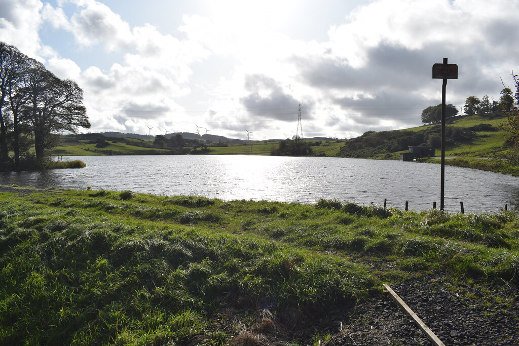 Duncarnock (1)
 by
Chris Mac, on Flickr
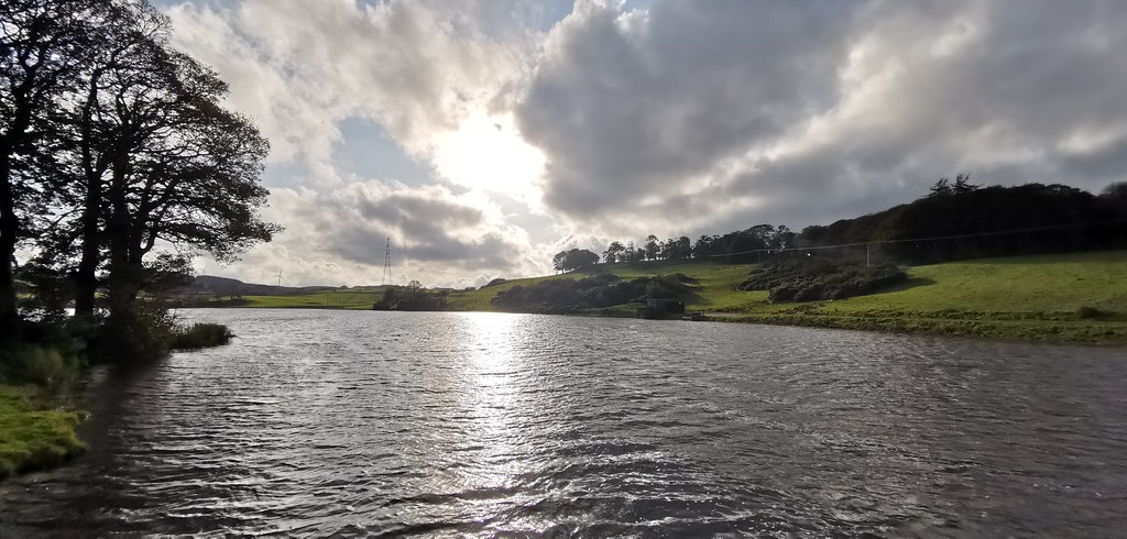
Duncarnock was then in view across the water and looking a lot different from the other side:
 Duncarnock (3)
 by
Chris Mac, on Flickr
It was clear that this hill walk wouldn't take long!

 Duncarnock (4)
 by
Chris Mac, on Flickr
I passed the couple walking their dog and said hi then headed over the burn over the style and planks of wood to the left as the bridge is closed to walkers:
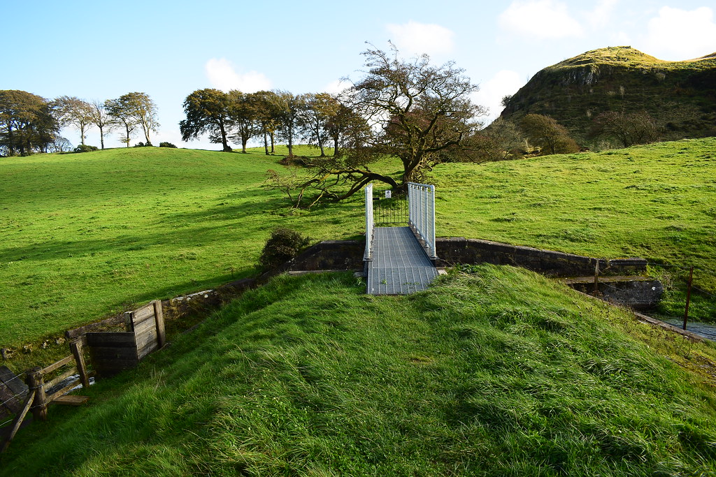 Duncarnock (5)
 by
Chris Mac, on Flickr
 Duncarnock (6)
 by
Chris Mac, on Flickr
I went through the field:
 Duncarnock (7)
 by
Chris Mac, on Flickr
Then over a dyke:
 Duncarnock (8)
 by
Chris Mac, on Flickr
The path up, short and steep:
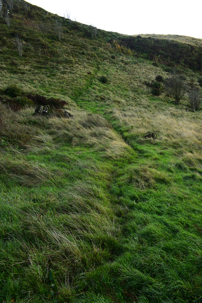 Duncarnock (9)
 by
Chris Mac, on Flickr
Halfway up the path is a tricky block to maneuver up which was slippy so care was required:
 Duncarnock (10)
 by
Chris Mac, on Flickr
Glanderston Dam below me:
 Duncarnock (11)
 by
Chris Mac, on Flickr
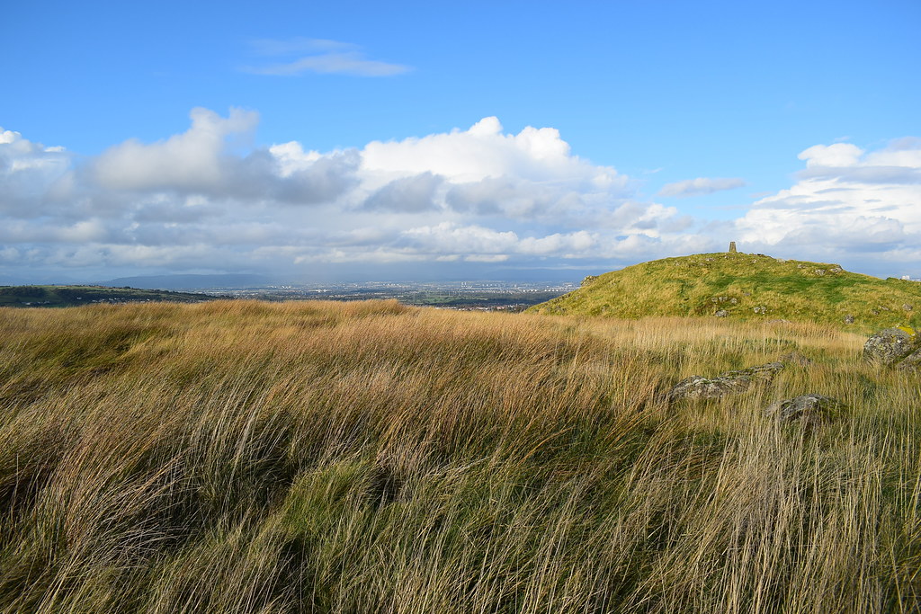
As I have said before, you can't beat the view from the wee hills:
 Duncarnock (12)
 by
Chris Mac, on Flickr
At the summit in 20 minutes!
 Duncarnock (13)
 by
Chris Mac, on Flickr
Looking south west to Ballageich, Bennan Hill and Mearns Law as I work my way along the Tumps towards Neilston:
 Duncarnock (14)
 by
Chris Mac, on Flickr
South and slightly east to James's Hill:
Duncarnock (14) by
Chris Mac, on Flickr
East south east to Neilston Pad:
 Duncarnock (16)
 by
Chris Mac, on Flickr
Neilston Pad - since i'm already at the summit of Duncarnock and have loads of daylight left, despite a late start, I decide i'll head there after this:
 Duncarnock (17)
 by
Chris Mac, on Flickr
Looking to Duncolm and the Kilpatrick Hills, bigger hills in cloud behind them and just left of centre behind the trees is the start of the walk:
 Duncarnock (19)
 by
Chris Mac, on Flickr
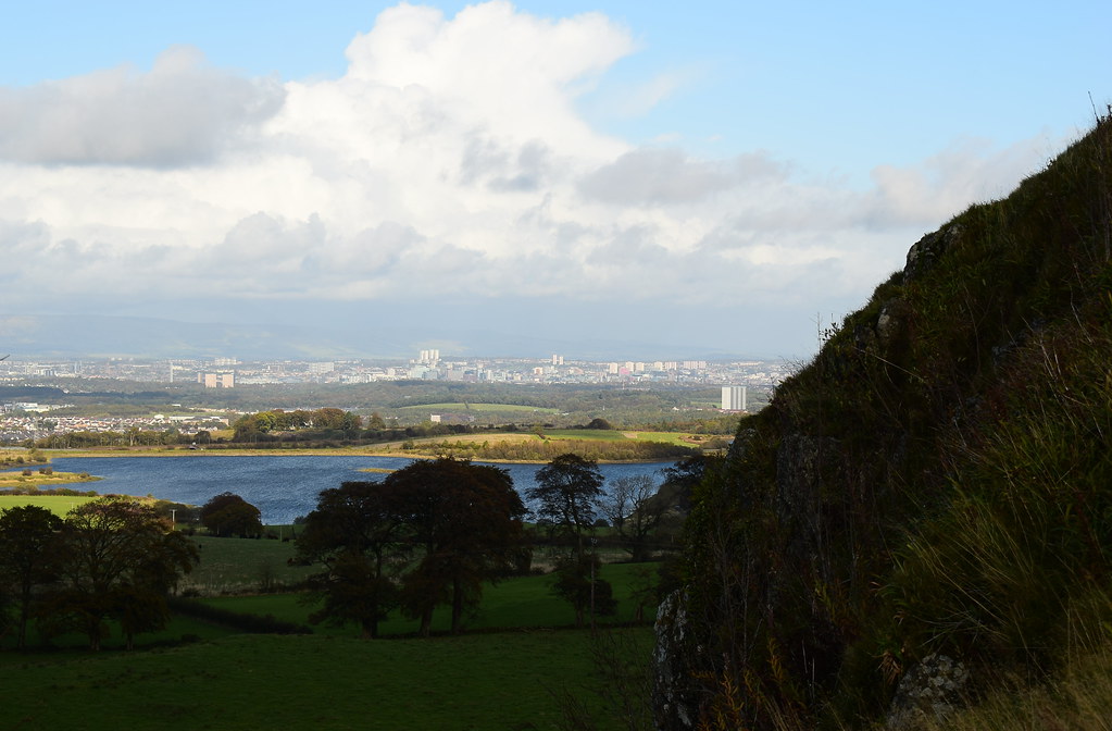
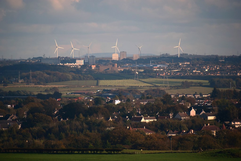
Looking over Glasgow to the Campsie Fells:
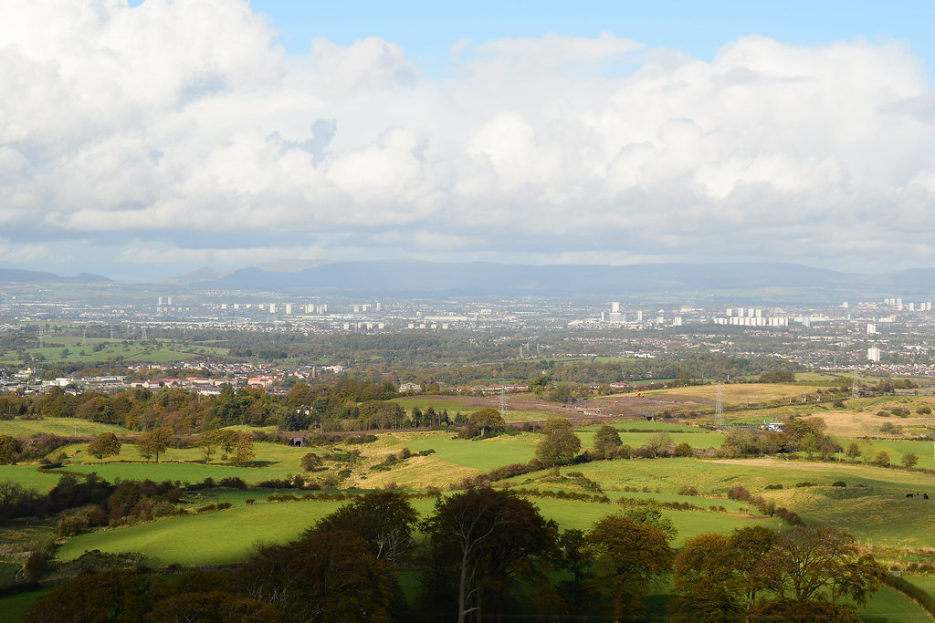 Duncarnock (22)
 by
Chris Mac, on Flickr
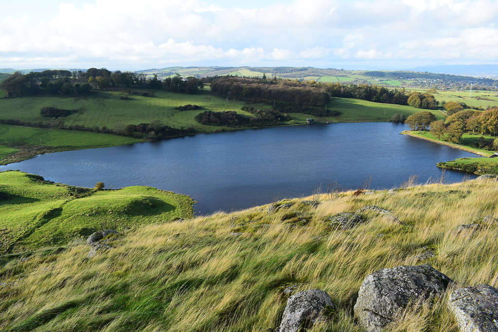
Balgray Reservoir:
 Duncarnock (24)
 by
Chris Mac, on Flickr
City centre:
 Duncarnock (25)
 by
Chris Mac, on Flickr
Cathkin Braes:
 Duncarnock (28)
 by
Chris Mac, on Flickr
East Kilbride:
 Duncarnock (29)
 by
Chris Mac, on Flickr
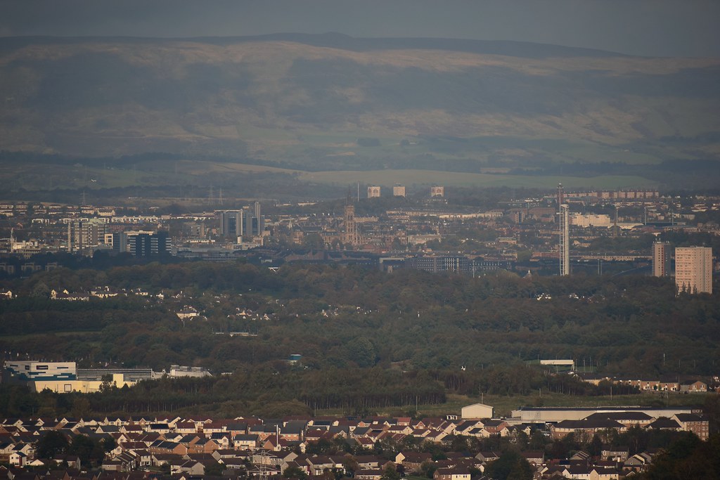
I have a snack and enjoy a closer look at the city centre:
 Duncarnock (36)
 by
Chris Mac, on Flickr
Glasgow University:
 Duncarnock (37)
 by
Chris Mac, on Flickr
Dumgoyne:
 Duncarnock (38)
 by
Chris Mac, on Flickr
Duncolm:
 Duncarnock (40)
 by
Chris Mac, on Flickr
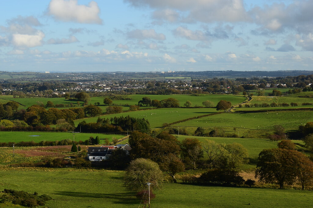
It's clearing up over at the Luss Grahams as a plane flies past:
 Duncarnock (44)
 by
Chris Mac, on Flickr
Cathkin Braes:
 Duncarnock (51)
 by
Chris Mac, on Flickr
EK:
 Duncarnock (52)
 by
Chris Mac, on Flickr
Tinto:
 Duncarnock (53)
 by
Chris Mac, on Flickr
 Duncarnock (54)
 by
Chris Mac, on Flickr
Duncarnock is a great viewpoint!
An almost rainbow
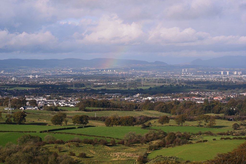 Duncarnock (57)
 by
Chris Mac, on Flickr
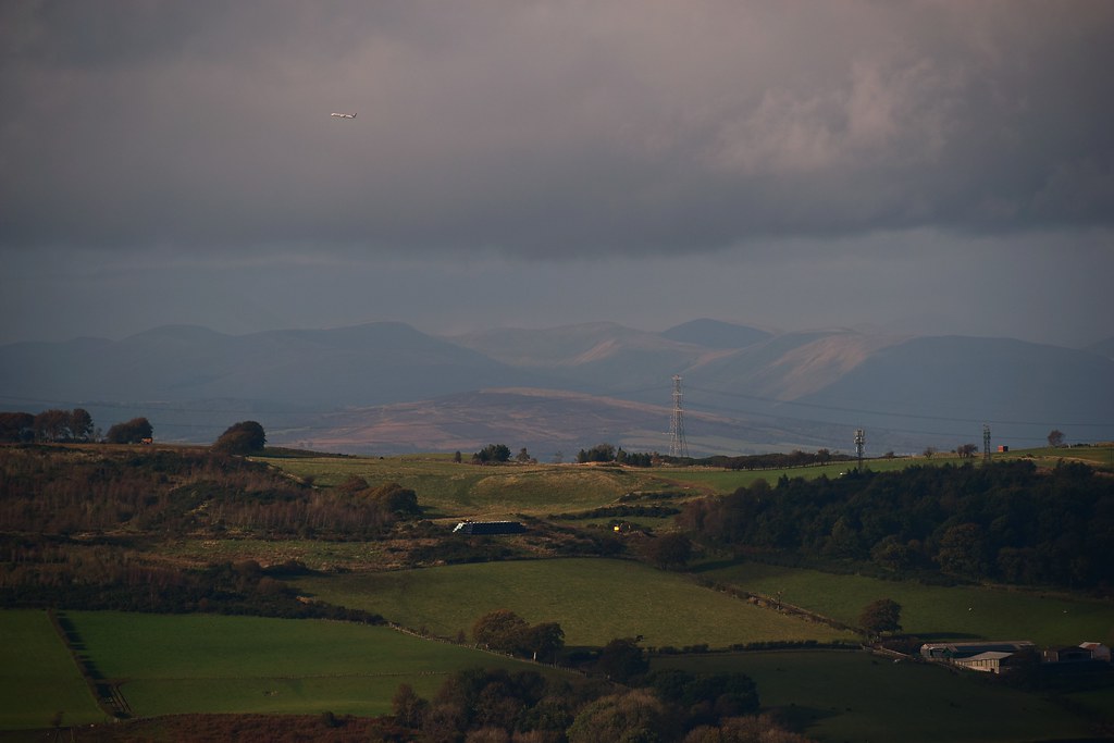
Clearing up over at Ben Lomond now too:
 Duncarnock (60)
 by
Chris Mac, on Flickr
I sat taking photo after photo then was glad I had hung around as it started clearing to the north and Ben Ledi popped into view inbetween The Kilpatrick Hills and Dumgoyne:
 Duncarnock (66)
 by
Chris Mac, on Flickr
 Duncarnock (68)
 by
Chris Mac, on Flickr
Time for a few trig point shots:
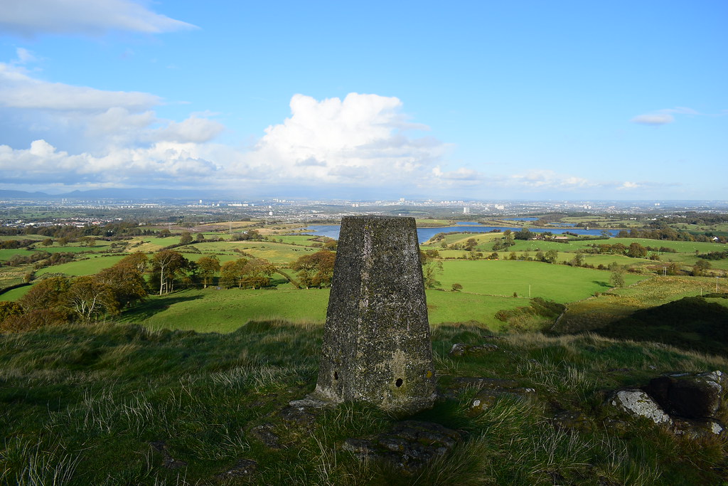 Duncarnock (69)
 by
Chris Mac, on Flickr
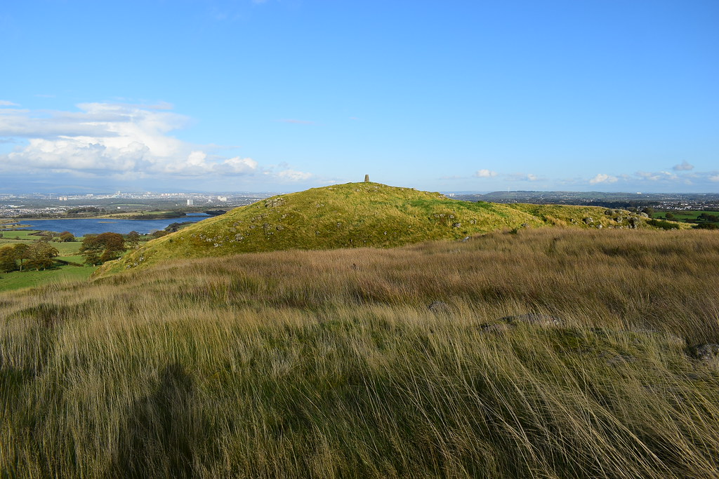
My next target in the background:
 Duncarnock (70)
 by
Chris Mac, on Flickr
North west:
 Duncarnock (71)
 by
Chris Mac, on Flickr
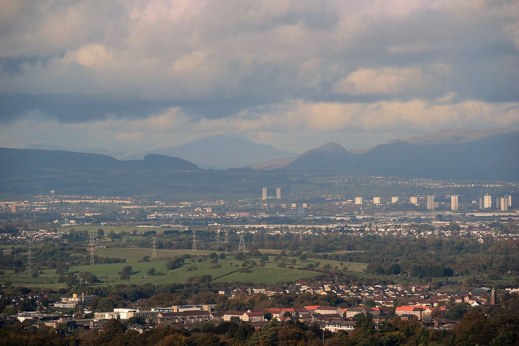
East:
 Duncarnock (72)
 by
Chris Mac, on Flickr
EK:
 Duncarnock (73)
 by
Chris Mac, on Flickr
South east:
 Duncarnock (74)
 by
Chris Mac, on Flickr
I decide to explore the fort and descend a slightly different way:
 Duncarnock (75)
 by
Chris Mac, on Flickr
 Duncarnock (76)
 by
Chris Mac, on Flickr
 Duncarnock (79)
 by
Chris Mac, on Flickr
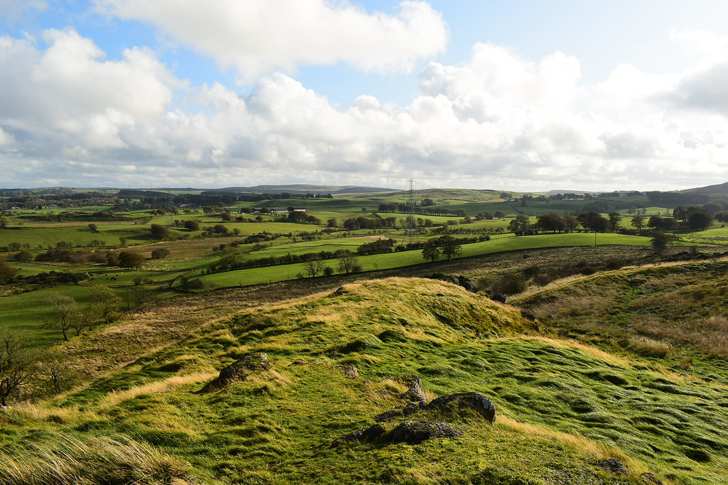
It's well worth a wander around and my mind keeps going back to what this place might have been like in it's heyday:
 Duncarnock (82)
 by
Chris Mac, on Flickr
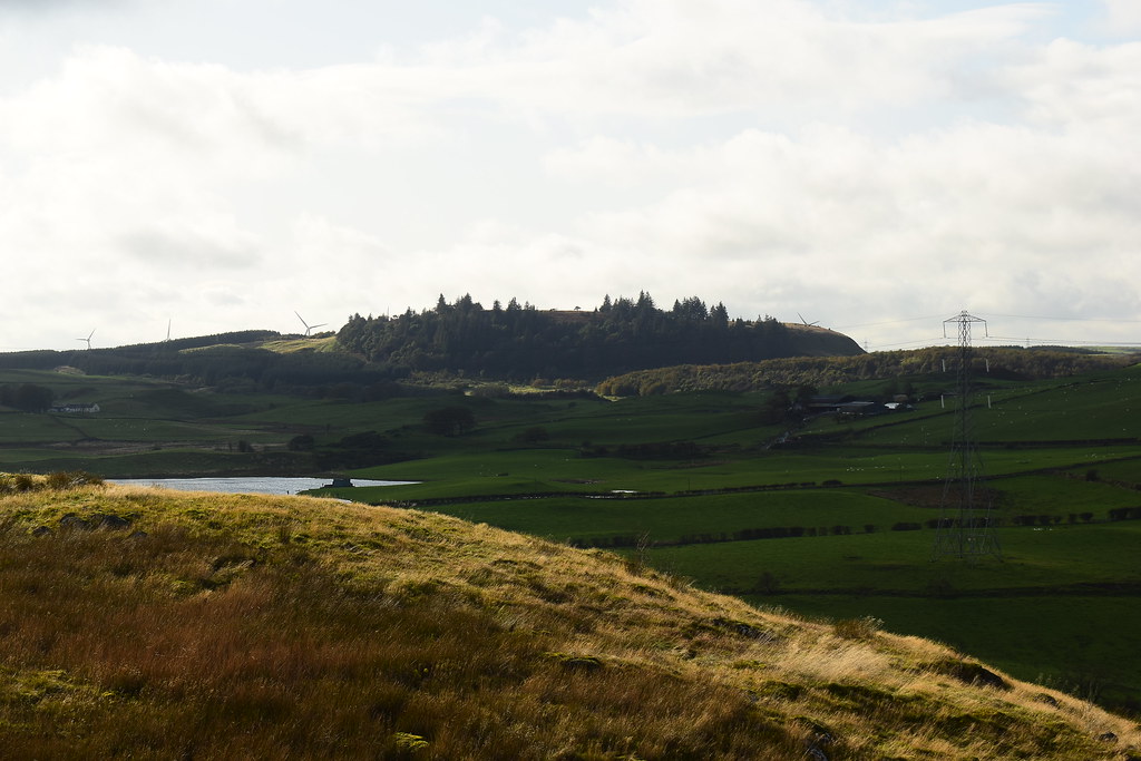
Glanderston Dam:
 Duncarnock (83)
 by
Chris Mac, on Flickr
Duncarnock summit:
 Duncarnock (87)
 by
Chris Mac, on Flickr
I tried to descend to the west but the steep terracing of the hill fort prevented that so I ended up looping back around to the main path:
 Duncarnock (90)
 by
Chris Mac, on Flickr
The route back down:
 Duncarnock (91)
 by
Chris Mac, on Flickr
 Duncarnock (92)
 by
Chris Mac, on Flickr
As I made my way down and crossed the wall and field again I met a runner heading up the hill fort and joked that he had a short steep jog ahead of him today, "Not really" he said "I've run from Govanhill!"


He said he had been running in this direction through the south side and had seen Duncarnock in the distance and decided to investigate. Top effort! I wished him well for his long jog home and took a photo of him running up the path:
 Duncarnock (93)
 by
Chris Mac, on Flickr
Not for me personally but still top work!
 Duncarnock (94)
 by
Chris Mac, on Flickr
He;s made it in a quarter of my 20 minute time!
 Duncarnock (96)
 by
Chris Mac, on Flickr
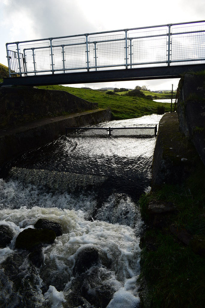
Back at the burn crossing:
 Duncarnock (98)
 by
Chris Mac, on Flickr
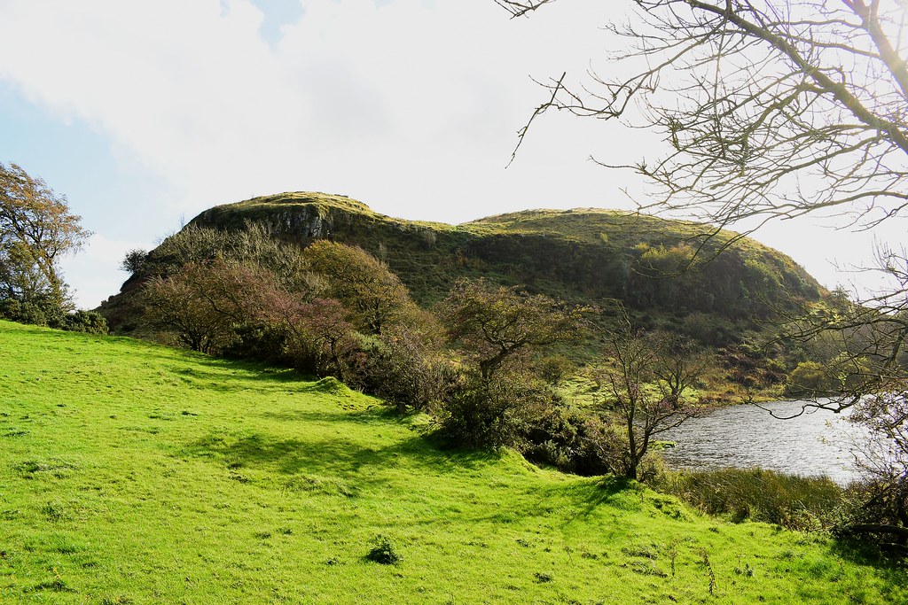
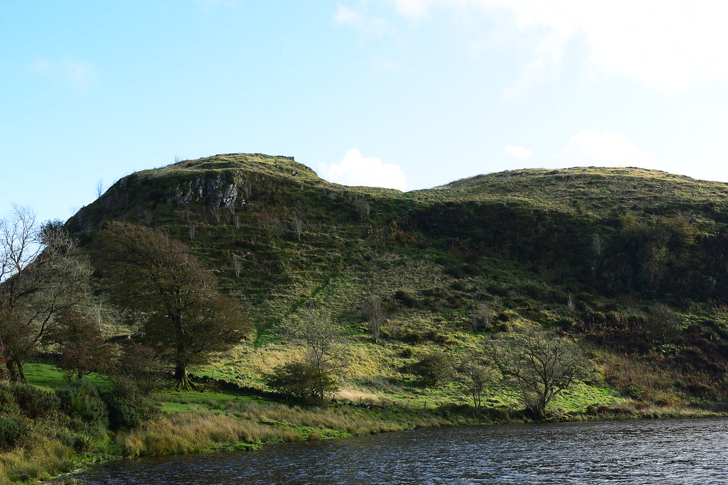
The Craigie, I like it:
 Duncarnock (99)
 by
Chris Mac, on Flickr
Glanderston Dam:
 Duncarnock (100)
 by
Chris Mac, on Flickr
A quick win, supreme viewpoint and overall 107m ascent over 2.05km in just over an hour and a half including a long break and lots of photos, Duncarnock is highly recommended.

