free to be able to rate and comment on reports (as well as access 1:25000 mapping).
It had been 6½ weeks since I last saw Chris as work and holidays had kept us apart from the rigours of tramping the hills in his quest to complete the Wainwright's this year, but today was to see another one bite the dust as well as a re-visit to Glaramara on our anti-clockwise circuit that was to culminate in Bessyboot on Rosthwaite Fell after taking in the Hewitt's/Birkett's of Combe Head and Combe Door Top plus the Birkett's of Thornythwaite Fell and Rosthwaite Cam, a bit of a handful when he hasn't been on a hill for a good few weeks.
The plan was to head off for Glaramara along the route up the ridge of Thornythwaite Fell starting from the small car park that is at NY24950 13502 and just along the lane to Thorneythwaite Farm, a lane that turns off the B5289 road that runs all the way over the Honister Pass to Buttermere and beyond. We turned onto the lane at Strands Bridge just opposite the cottages of Mountain View and after just a few metres were parked up on the well surfaced area with honesty box suggesting £3 for a day's parking, cheap for a day out on the fells. The farmer, an amiable chap, once told me that he gives the money to his children as a source of pocket money, an action that therefore absconds him from carrying out one of his monetary parental duties and also one, it appears, that has now been handed down to us who enjoy a cheap day out on the fells. I don't begrudge it one bit.
There were no other cars or people about as we drew onto the car park on a cold, cloudy and windy day, a day that was to get much worse as we got higher up onto the fells. We walked back along the metalled lane for a few metres to then pass through the gate to our right that put us onto a stony track that dog legs its way up through some rough pastures and before too long we were privy to the delights of Borrowdale in all its autumn glory with a first look back towards the cottages of Mountain View backed up by the myriad shades of gold, orange and brown leaves of the trees that make up the lovely area of Johnny Wood.
 The houses of Mountain View with Dale Head behind
The dead bracken beyond the tree line make the fell sides look so much better than when they are cloaked in waist high greenery that hides so much of the character of them. The fells step up behind the cottages, first of all there's High Doat followed by High Scawdel with High Spy and Dale Head overlooking all below them.
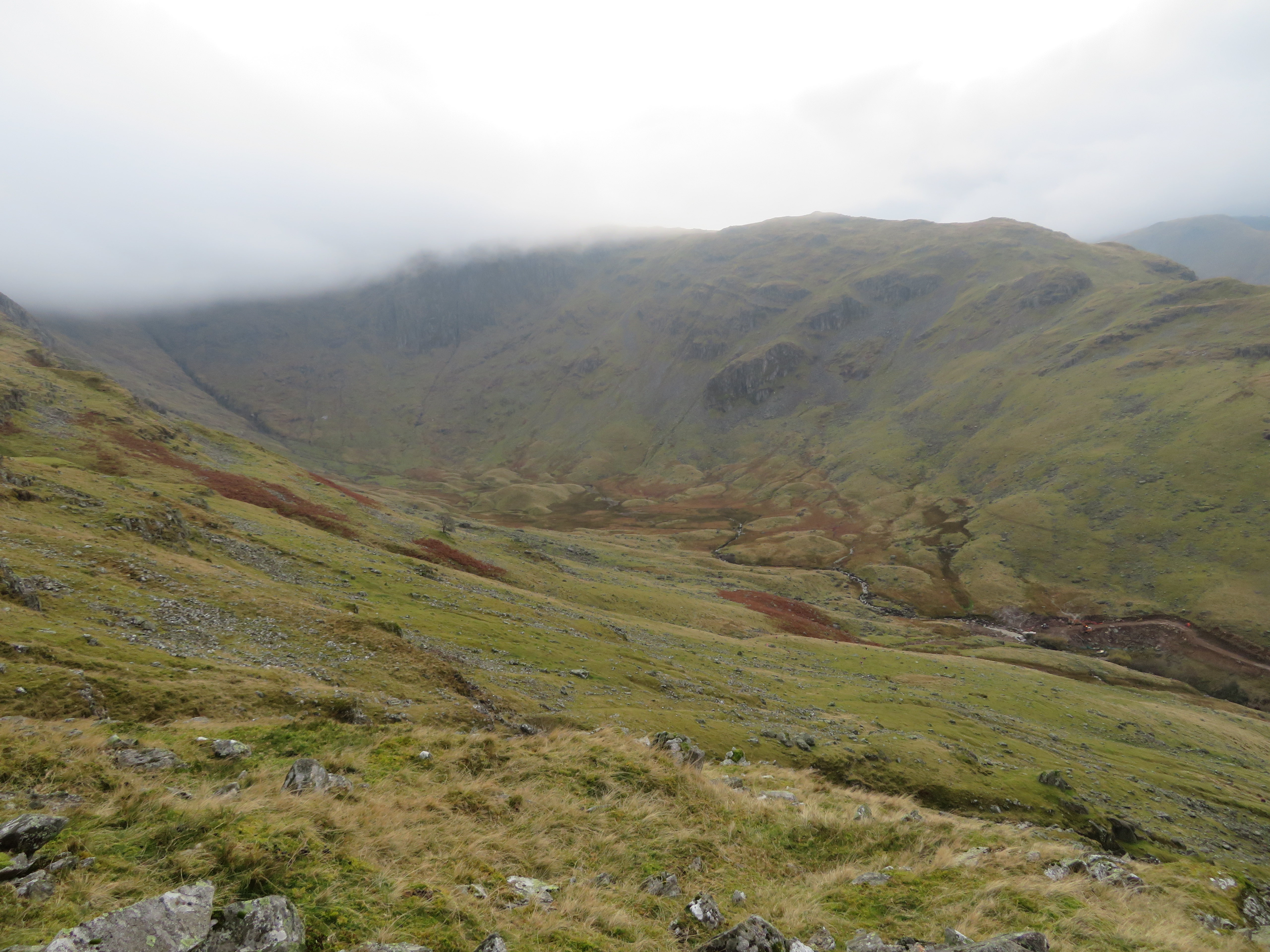
Following the track as it began to swing southeast towards the ridge path we were surprised to come across a recently made wide track that replaced the path. The track is quite substantial and was obviously used for running heavy machinery along it and according to the notice board that is parked up it leads to a construction area further up into the head of Combe Gill.
 The path - now a construction road
 As we walked along the track finding it easy going we wondered what was going on and upon seeing a blue pipe just poking up above the surface of the ground I surmised that it was a water project of some kind but for what, I didn't know as I had read nothing about any such works in the area. But all was to be revealed shortly. We continued along the track taking a few photos now and again with Borrowdale opening up below us and the long track before us we had plenty to keep us occupied. The fellside to our left had a barrier of fine netting strung along its length running the full distance from the works compound to the actual place of work. The netting is there to prevent anything, stones, site debris, etc, falling into Combe Gill with the potential of causing contamination to its pristine waters and any inhabitants of the gill.
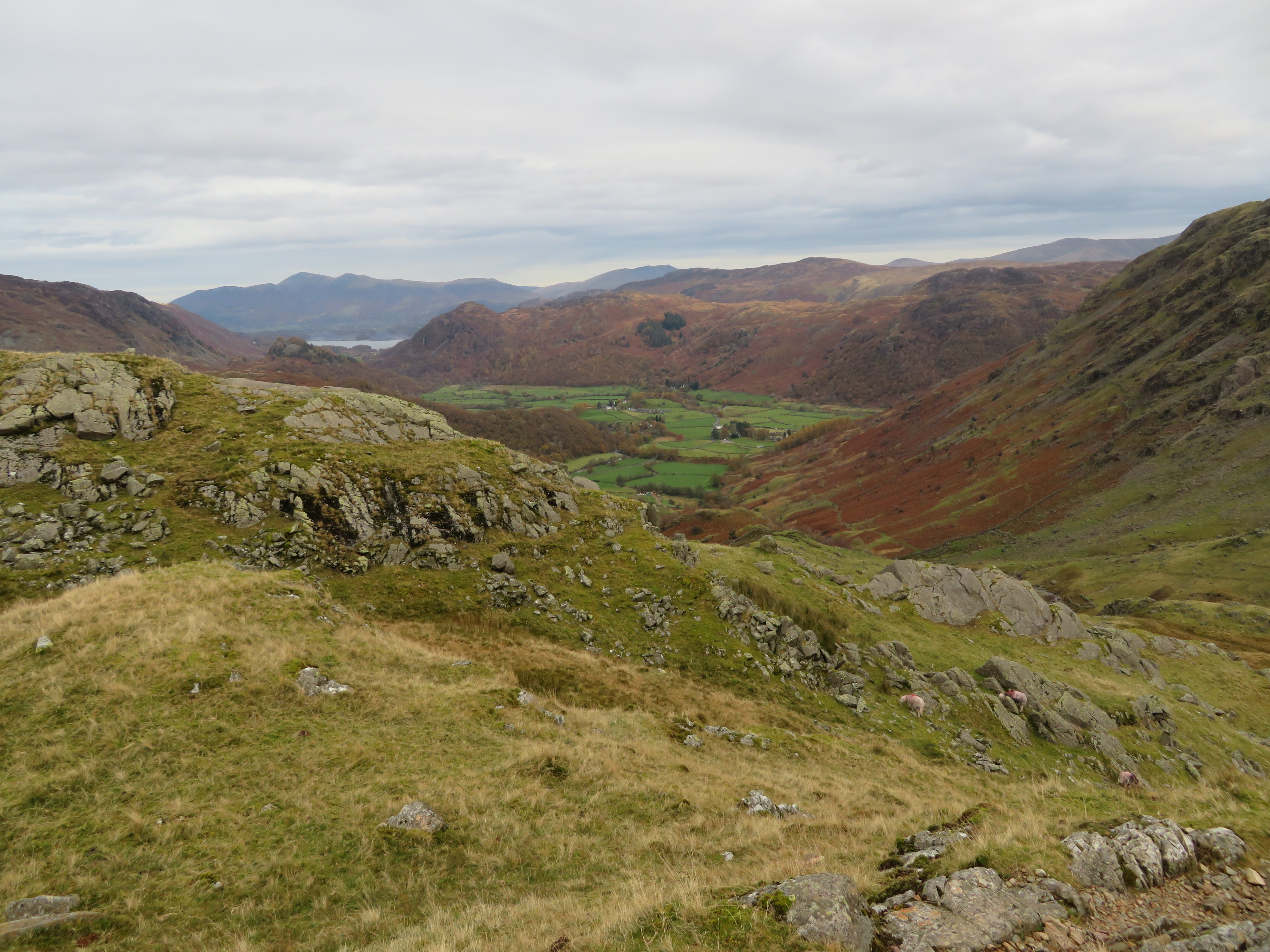
 Borrowdale with Kings How and Great Crag on the skyline
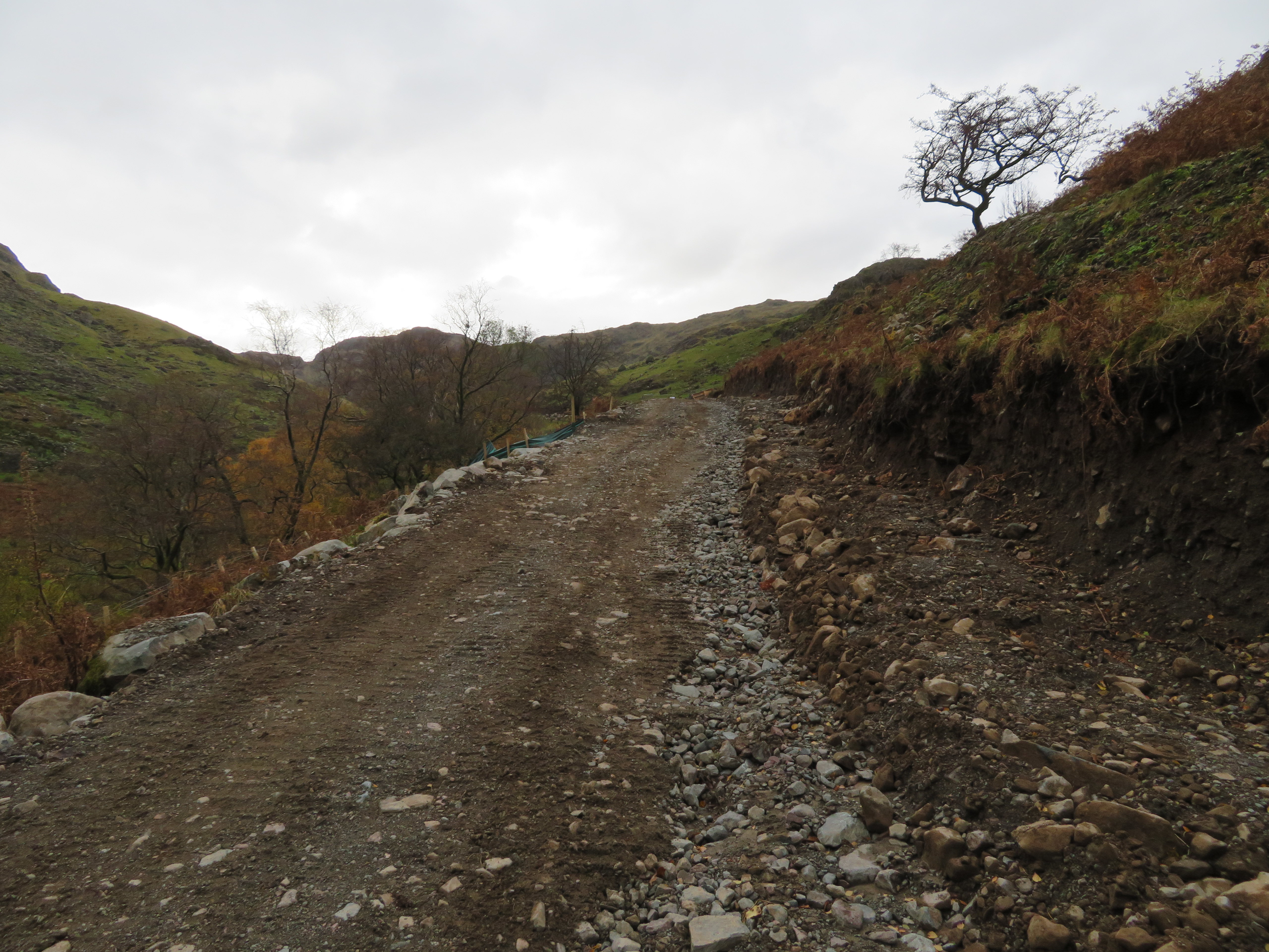 The long track to Combe Gill
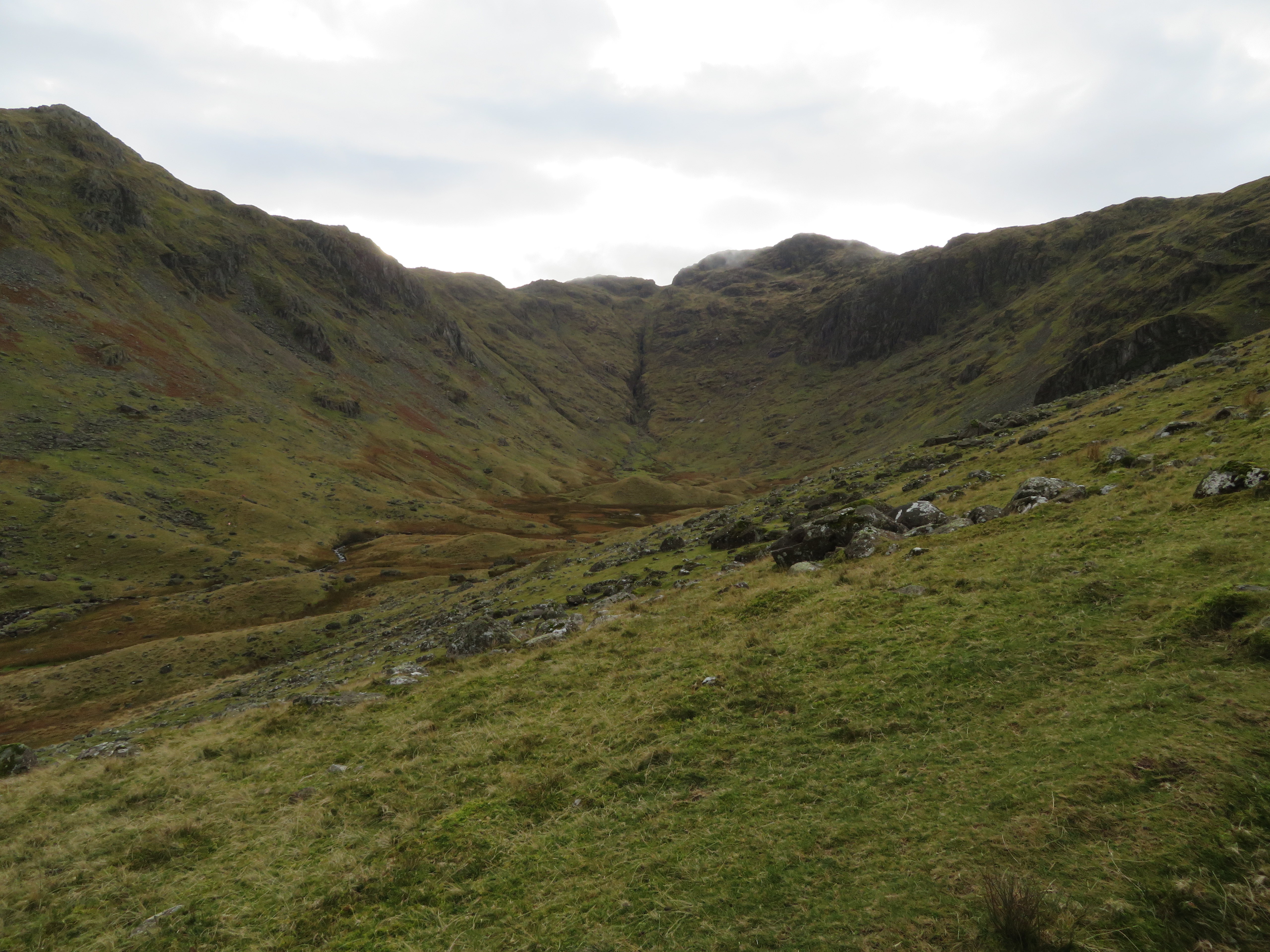
  Combe Gill with Combe Head centre skyline
We passed through a security gate with public access to one side and within 15 minutes we were asked to return to the original path.
 Back to the original path
 From here on the path is obvious although a bit thin in places and as we climbed ever higher we could see and hear the work in progress down on Combe Gill. It's a mini-hydro project, one that will be capable of producing power for around 200 houses when it's up and running. More information on the link below.
https://www.nationaltrust.org.uk/borrowdale-and-derwent-water/projects/combe-gill-hydro-power-project-diaryThe track runs all the way down to the gill where the hydro plant is being constructed at the point just below where Rottenstone Gill joins Combe Gill.
 Combe Head
  The Combe Gill mini-hydro project
 It was a dreary day with full cloud cover that barely kept above the higher fells, it was damp with a cold breeze just now so walking hard wasn't an option, it was a requirement to keep ourselves warm. The higher we got the stronger the wind grew and we now had a head wind that would remain with us for the remainder of the climb up to Glaramara. Nevertheless the going is good and the views were getting better below, worse above.
 Borrowdale from the lower slopes of Thorneywaite Fell
 At one point the path skirts the edge of the Combe before swinging back onto the ridge itself.
 The path skirts the edge of the Combe
 Another few metres higher and some of the North Western Fells appear…
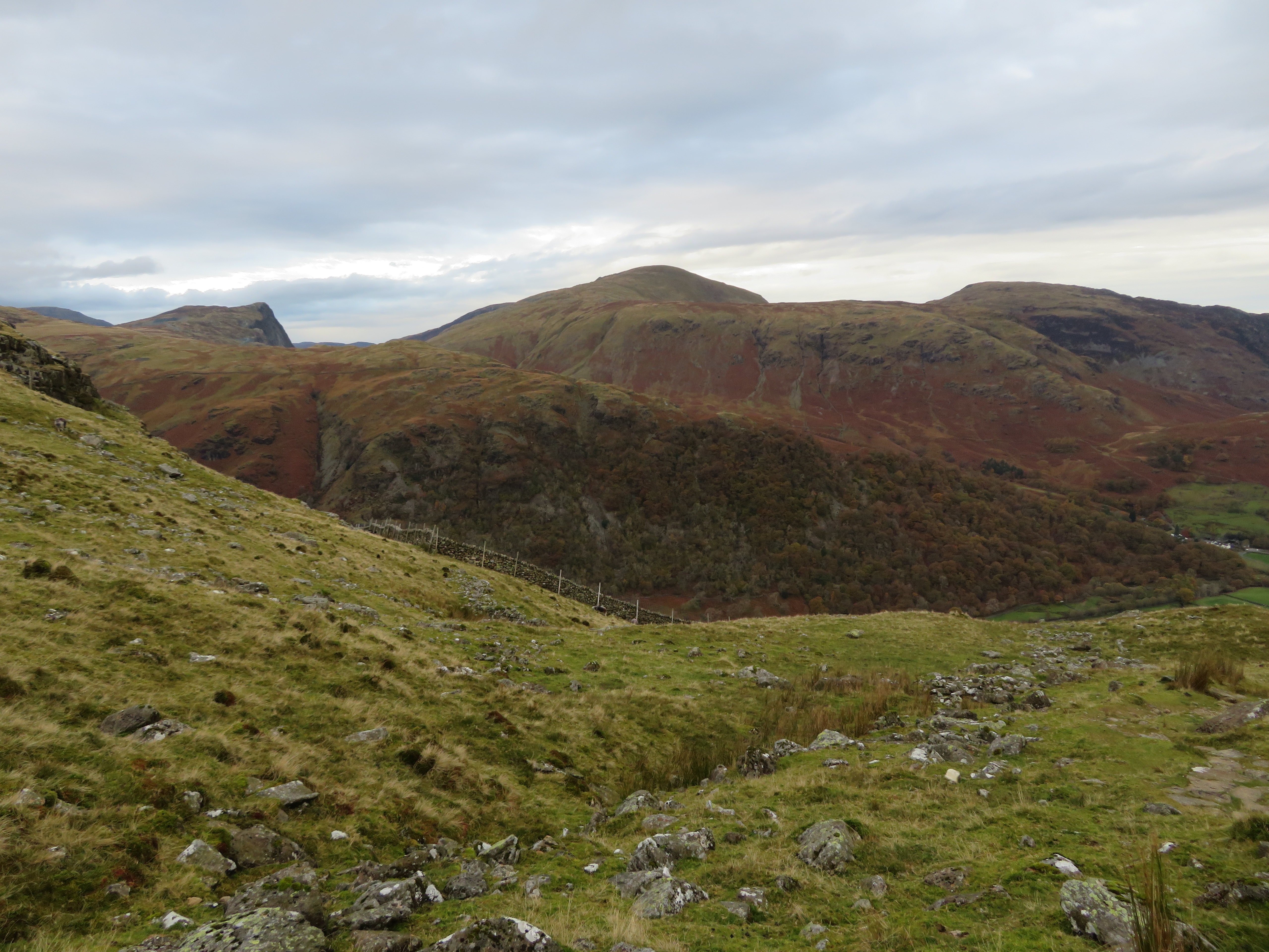 Fleetwith Pike-Dale Head and High Spy
whilst across Combe Head we could see our way forward, for now.
 Dovenest Crag and Rosthwaite Cam
 Combe Head is clear to see but as we get higher the clouds get lower and before we even reach the 650 metre contour the clouds were nearly upon us. Another stop for a rest and viewing the marvellous surroundings we thought were in order.
 Thorneywaite Fell ridge down to Borrowdale
 Across Seathwaite towards Skiddaw
 From the Birkett of Thornythwaite Fell some of the Western Fells started to peep onto the horizon behind Fleetwith Pike of which Black Star was the most prominent part of it.
 Great Gable to Black Star skyline
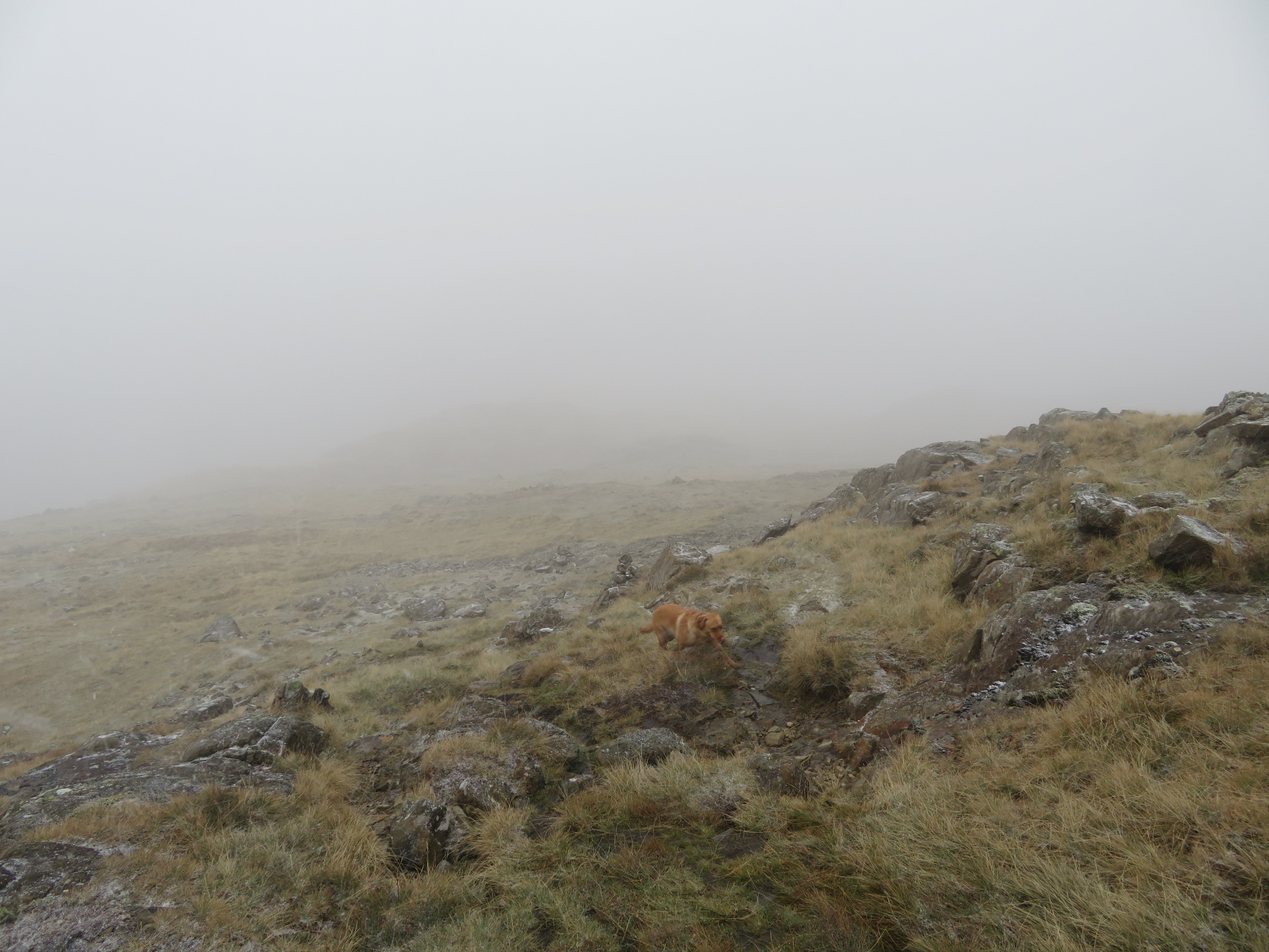
 A few minutes later and the clouds started to drop very fast indeed with just a hint of snow blowing in what had by now escalated from a breeze to a wind. Apart from us life is a bit thin on the ground, no other human have we seen, nor bird, nor sheep, and apart from the sound of the wind the place is eerily quiet with the clouds dampening all sounds of life, if there is any about. We haven't even seen a raven or a vole scurrying beneath our feet. And the cloud continues to roll down the fellside.
 The clouds are rolling in above us
 Combe Head was now touched by the damp grey fingers and we were considering leaving Glaramara for another day as I have been up here many times and although Chris has been on it twice before it would be a shame to miss it as we were now so near.
The clouds are moving up and down with the wind and now Combe Head was clear of clag…
 Combe Head
 although right behind it there was no let up on the cloud cover over Glaramara.
 Glaramara
 Despite the dismal weather we decided to go for the big one so made our way through the clag to arrive at the summit where Chris's new ears were flapping about in the wind.
 Glaramara summit
It started snowing, it was horizontal…
 And now its snowing
 and that combined with the clag that had dropped even lower made visibility a bit short in the foreground, or anywhere else for that matter. To make matters worse my GPS wasn't getting a signal and Chris's TomTom was erratic with either nothing or very little showing on the screen. Out with map and compass and despite the wind trying to tear it from my grasp and after a bit of wending our way through the rocks and finding a safe way off we were very soon back on our route to Combe Head.
 Combe Head is out there somewhere
 There was no question of us getting lost or being so, it was just a struggle finding a safe route off the summit for some reason but once back on the grass it was just a case of walking roughly north then swinging over to the northeast until the mass of rock and grass loomed out of the fog when it was just a case of fighting the wind and picking the easiest route up to the summit.
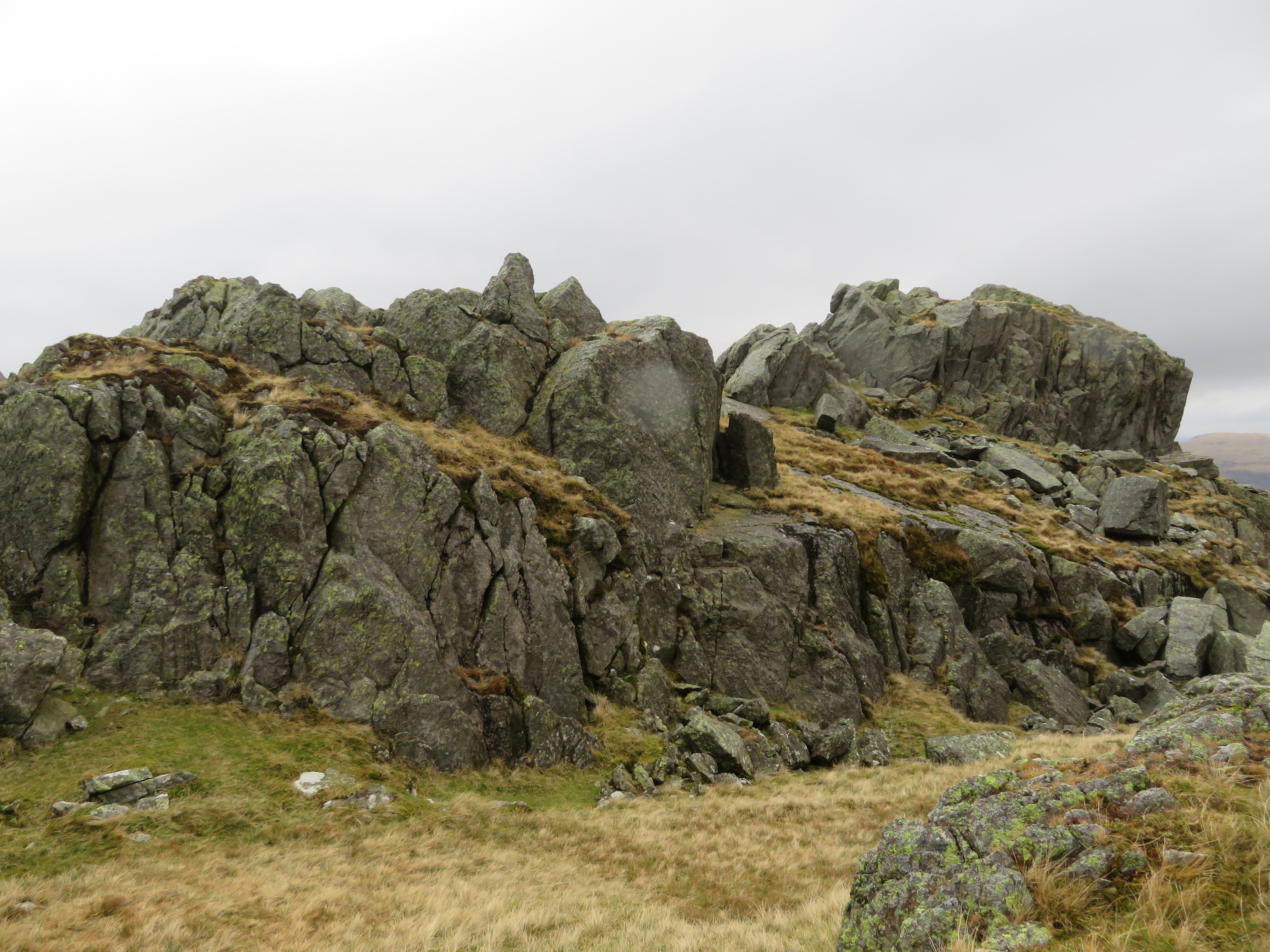
 Combe Head
 We walked carefully east along the ridge to then descend down to the col of Combe Door where we took what shelter we could under the rocky face of Combe Head to get some fuel in us and respite from the wind and driving snow. I can't say it was a comfortable break but it was the closest shelter that we had and at least we had descended about 100 metres so we were now out of the worst of it. The snow stopped and the clag had thinned out a little but it was still too thick to be able to see our next top that would be Combe Door Head.
 Combe Door
 So, break over and next on was Combe Door Top just across the way, across boggy ground where there are a couple of small tarns and the shape of a fence that was just visible across the other side of the col but the top we were intent on was still invisible due to the clag that was easing up slowly as we climbed up the grassy fell on the east side of the col to walk north and then east as two rocky tops appeared through the fog. We passed over the tops but didn't linger as there was no point and nothing to see only grass, a bit of rock, and fog. About 15 minutes later and lower down the fellside the clouds began to clear as we dropped below them and now we had a bit of something to see of any value. We were by now above Black Wall overlooking the valley of Langstrath with High Raise across the other side of it and even though it was still cloaked in cloud it was a most welcome sight from looking at total grey for the past hour or so.
 High Raise under cloud
 We met up with the fence and followed its course north for a while as we made our way towards Dovenest Crag and Rosthwaite Cam.
 Black Wall and Stake Beck in Langstrath
 The clouds were still acting up, rising and falling at a whim but before too long we came across Dovenest Crag under a thin veil of cloud.
 Dovenest Crag far left
 Once again we passed it by as there was not much to see in any direction apart from to the east where the views were not perfect but at least we could see something.
 Eagle Crag and Sergeant Crag
 We were still walking roughly north and we were soon dropping down into the damp area of Great Hollow where a couple of tarns and wet ground inhabit the low lying area of the fell.
 In the Great Hollow
 We began the short climb out of the other side of the hollow to see that the view to the north was not half bad at all.
 North towards High Seat-Bleaberry Fell-the Dodds etc
At this point we changed direction and now started walking northwest towards the mass of rock and grass that is Rosthwaite Cam. The going is easy now as the wind has eased off a lot, or maybe that's because we were so much lower and we made good progress to soon arrive at the Cam from where the views, even on a day such as this, are wonderful.
 Derwent Water from Rosthwaite Cam
  A view towards the Central and Northern Fells
 We walked along the grassy top to then drop down into a small hollow before climbing out onto the true summit that is mostly crag, cracked and splintered by eons of years exposed to the most extremes of weather.
 Rosthwaite Cam top
 The views are truly astounding, even on a day such as this.
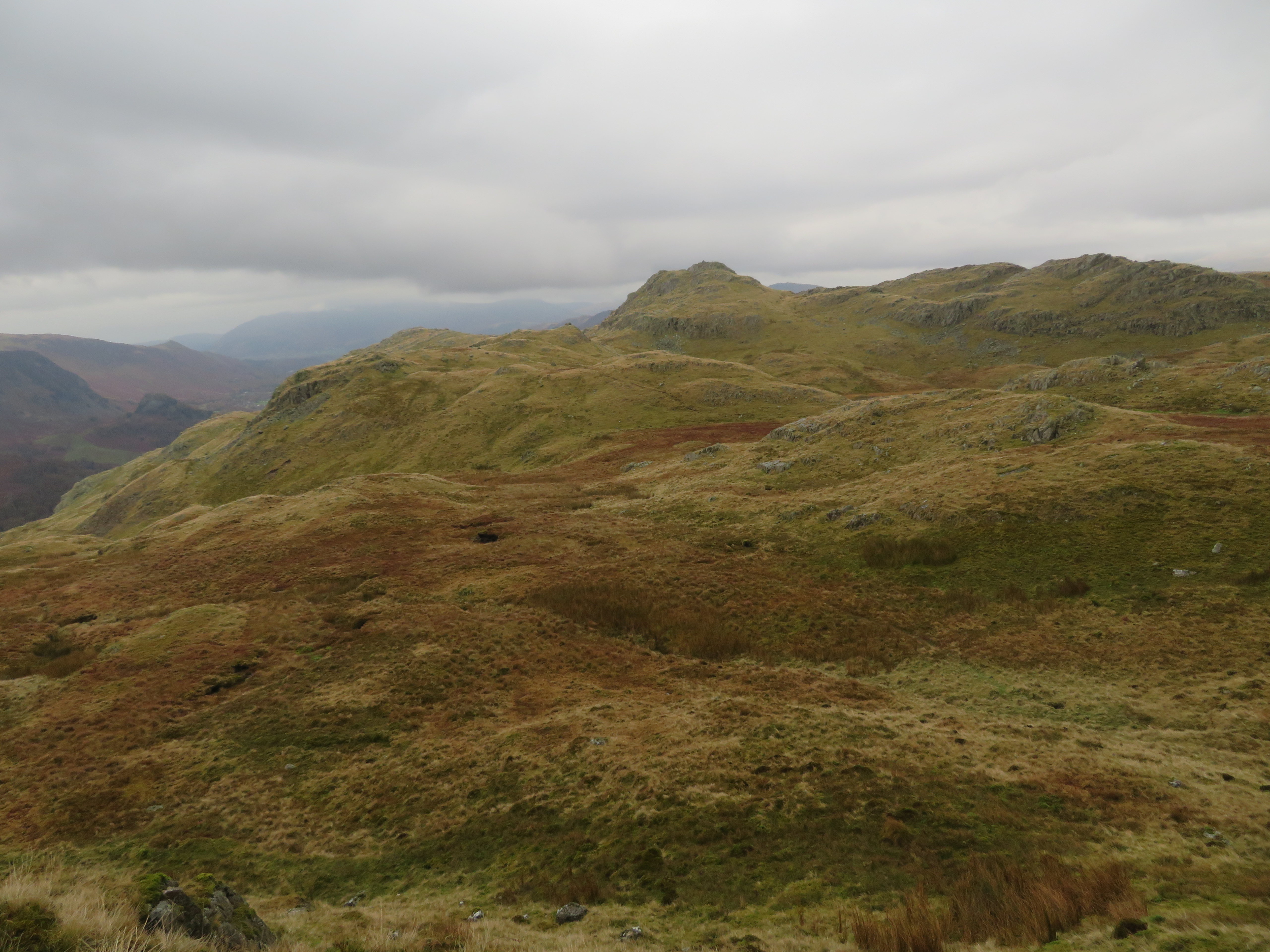
 Part of our ridge climb with Black Star behind
 The rocks were too wet and slippery to attempt the climb to the top of them so after a drink and a good look at the views we left this great viewpoint and set off for Tarn at Leaves and our final top of the day, Rosthwaite Fell aka Bessyboot. The next image shows Bessyboot as the highest of the fells that form a background to the tarn.
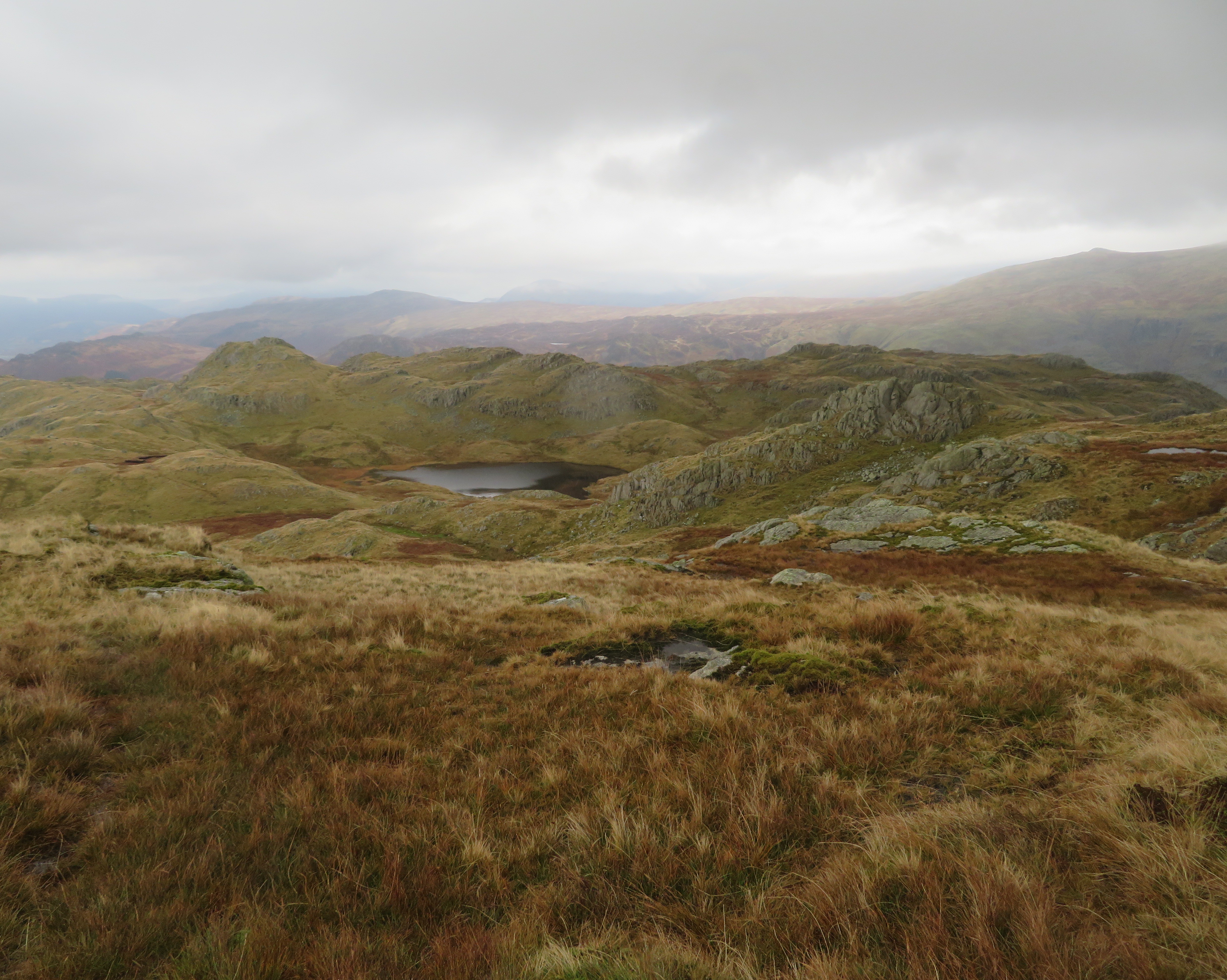 Tarn at Leaves on Rosthwaite Fell
 There's a thin path leading off Rosthwaite Cam and is a bit difficult to see at times and there are many small slippery rocks and hidden holes around that searching eyes must spot if at all possible but all in all we arrived at the tarn unscathed.
 Bessyboot centre
  Tarn at Leaves
 Tarn at Leaves, a strange name and I wonder where it originated but as we pass it by Bessyboot gets a little closer and larger.
 Bessyboot gets closer
 From the tarn it's an easy walk to and up to the summit from where on a good day one of the lesser fells can once again take the glory off the larger ones as far as views are concerned but even today with all the low cloud it wasn't too bad at all.
 Bessyboot summit photo with friends
  Rosthwaite Cam
  Bessyboot summit with views to the west
 Bessyboot 550 metres versus Rosthwaite Cam 612 metres? Mmm! once again I wonder at Wainwright's logic in choosing his summits when it's quite obvious which is the larger of the two in this neck of the woods, but we'll never get to know now shall we?
It was time to leave before the light started fading and with the full cloud cover that wouldn't have been too late today so we retraced our way back to Tarn at Leaves and took the path that runs first of all above Rottenstone Gill and then further down the fellside Dry Gill. From above Rottenstone Gill we had a good view of the hydro works.
 A view down Rottenstone Gill towards the new hydro works
 As we descended we could see right into the head of Combe Gill and saw that the clouds were still dominant over the ground that we had been on earlier today.
 Combe Gill
 Instead of following the path down to cross Combe Gill we took the higher one that crosses the rocky area below Low Buck How, a path that is usually alright but today was wet, slippery, and muddy due to the sheep using it to cross over the numerous stones and boulders that were now greasy as they were covered in a layer of brown mud. Although we did get a good view into Borrowdale once again.
 Autumn in Borrowdale
 Now, the plan was to take the path and footbridge that would have brought us out just east of Strands Bridge but due to the hydro works compound lying across the area that way was blocked off so we had to continue down to the road to meet it at Burthwaite Bridge. That made Chris unhappy as he hates walking along the road and it made the walk a tad longer and it just gave him something else to moan about and forget about his other aches and pains for a while.
We came to the blocked off track that is now the access road into the working area of the hydro scheme with a short description of the on going works…
 Combe Gill Hydro-power Project
 and stacks of pipes with construction machines moving about just above the compound of welfare units.
 Pipes galore
 I caught up with Chris, following his moans, groans, and grumbles as we turned down the lane back to the car park, hell, Sonny must really have a dog's life listening to him bitching and moaning all day. Once that we're on the way to the pub he'll cheer up a bit, he usually does when there's ale about.
Despite the weather and mini wandering on Glaramara we've had a decent day out on the fells. Okay, it was foggy, windy, cold and snowing at one point but that's what it's all about sometimes, especially at this time of year. If we didn't like it we wouldn't do it. We hadn't seen a soul out walking and there were no other cars alongside ours so we reckoned that the weather had kept people at bay today and to be honest it wouldn't have really enticed most people out on the tops today. But, Chris is on a mission and he's achieved another part of that today with one more Wainwright and a few Birkett's in the bag and with only four more to go it looks promising to get them completed this year as long as continuing good health and weather prevail. It was now time to visit our favourite watering hole.
