free to be able to rate and comment on reports (as well as access 1:25000 mapping).
First walk for a couple of weeks and have been itching to escape, once again the forecast to the north wasn't very good so I opted for another Marilyn raid. The forecast was OK, well much less windy than up north.
Parminder volunteered to be my co-pilot and keep me company, we left Inverkeithing at 7.30 and arrived at the parking spot just over 2 hours later. For anyone who hasn't ventured down to the SW a word of warning, the Romans never ventured down that way.
The programme for the day was to tackle Fell of Fleet then head east back along the A712 for about 3 miles and visit Cairnsmore from the north, but as you will see things didn't exactly go as planned.
As I have mentioned in previous reports one of the challenges of the Marilyns is the lack of Walk Reports, there are only 2 for Fell of Fleet and both utilise the track but leave the track at different points. I had plotted out a route the same as PeteR's but then for some reason changed it to use the nice direct line of the fire break.
The route once off the path outbound is the wiggly one to the south, the return as usual was more direct and straightforward.

Parking area at the start of the track, plenty of room for quite a few cars

The A712 which is one of the better roads, Clatteringshaws Loch is a few hundred metres up the road

Looking back, the dam at the loch in the background

Large passing place

The way ahead
If anyone is wondering about utilising a bike, I would say go for it. The track is excellent and if following our route you would be cycling 4km each way. Whilst wandering along the track I mentioned to Parminder that I could have driven, however a Gate is in the process of being created near the start. We also came across a forestry worker even on a Saturday and just as well I left the car near the main road.
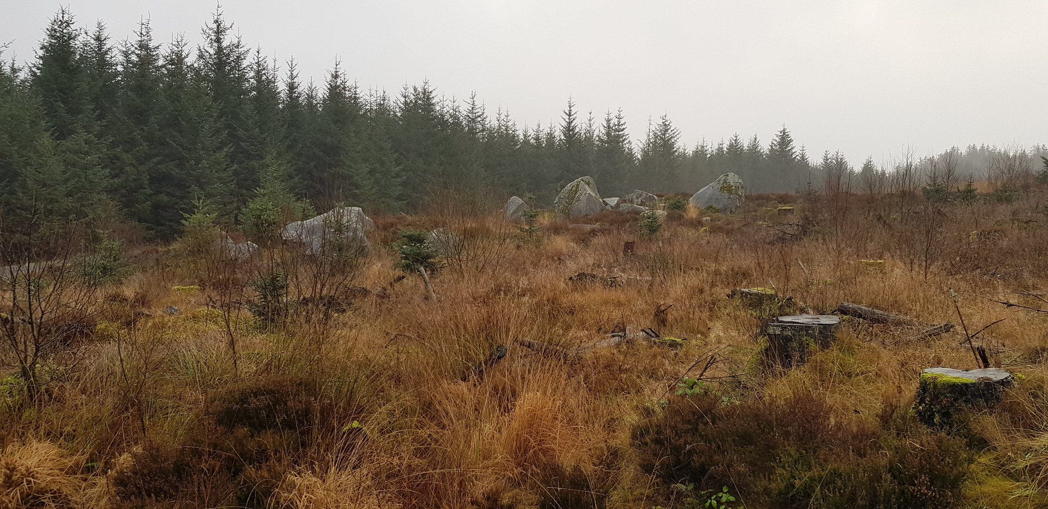
Some huge rocks scattered amongst the undergrowth

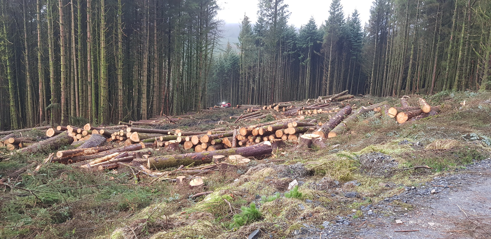
Plenty of evidence of forestry activity

The way ahead

Track junction, we went straight on, this is about halfway along the track
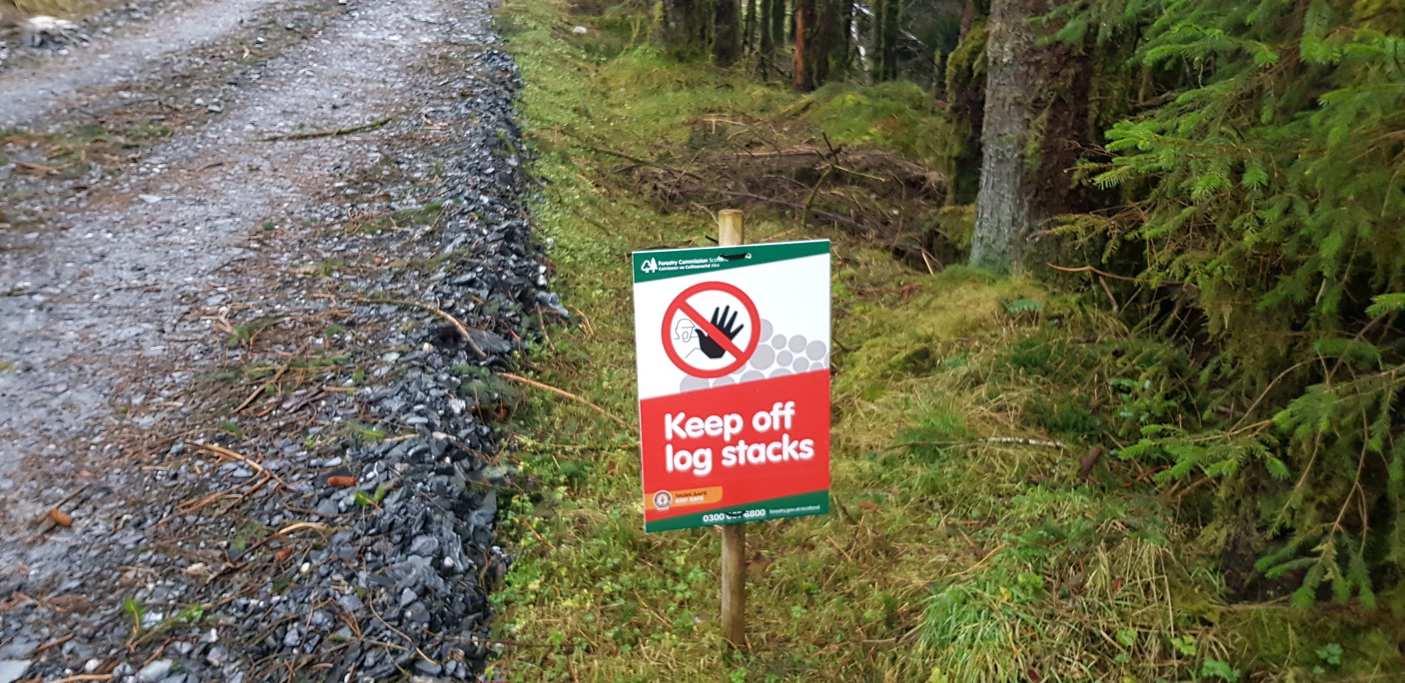
I have to admit we weren't tempted to disobey the sign
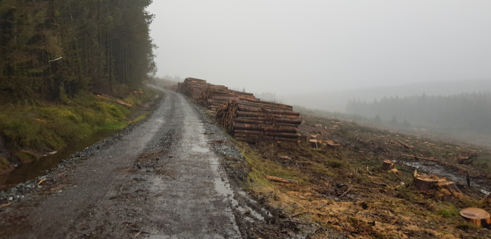
Plenty of timber prepared for uplifting, note how grotty the weather was

Timber stacks varying in size

Track is quite straight, unlike the majority of the roads in Dumfries and Galloway

Forestry work in operation

Double time on a Saturday?
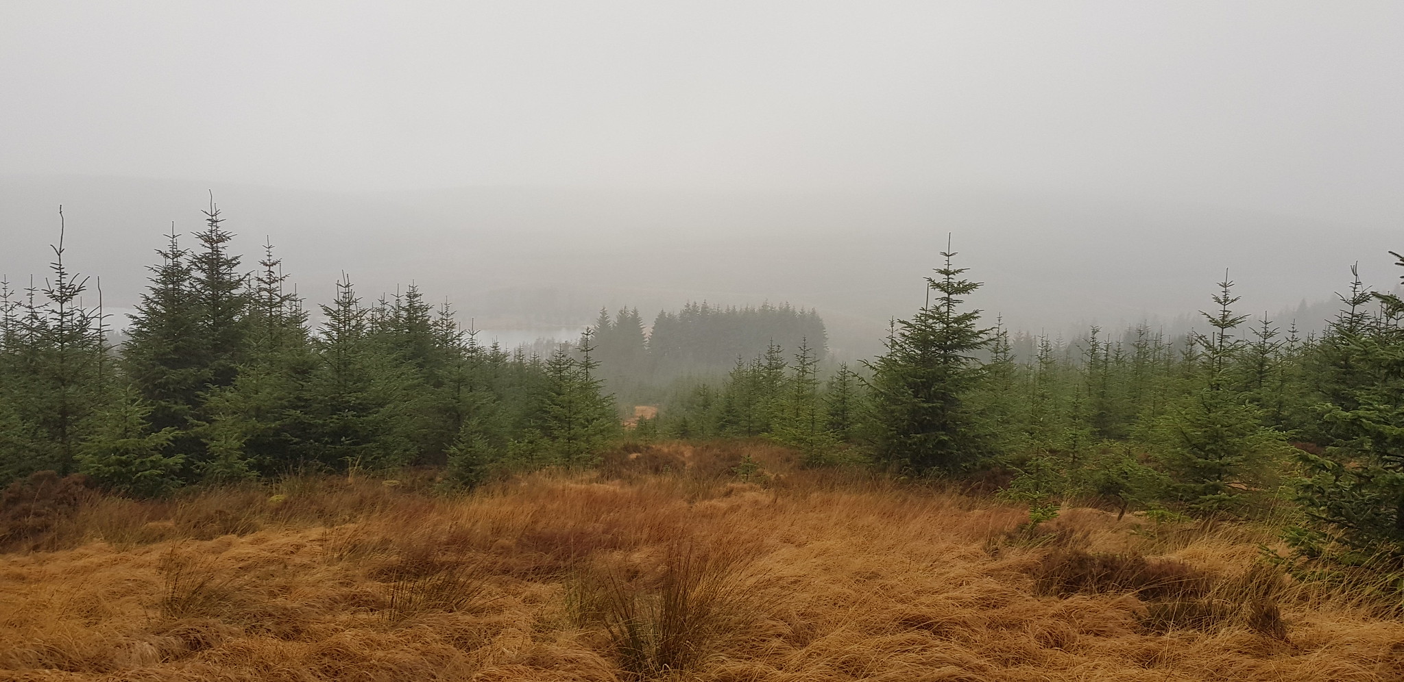
Loch Grannoch can just about be seen through the mizzle (mixture of mist and drizzle)

Machinery having a day off

Loch Grannoch again
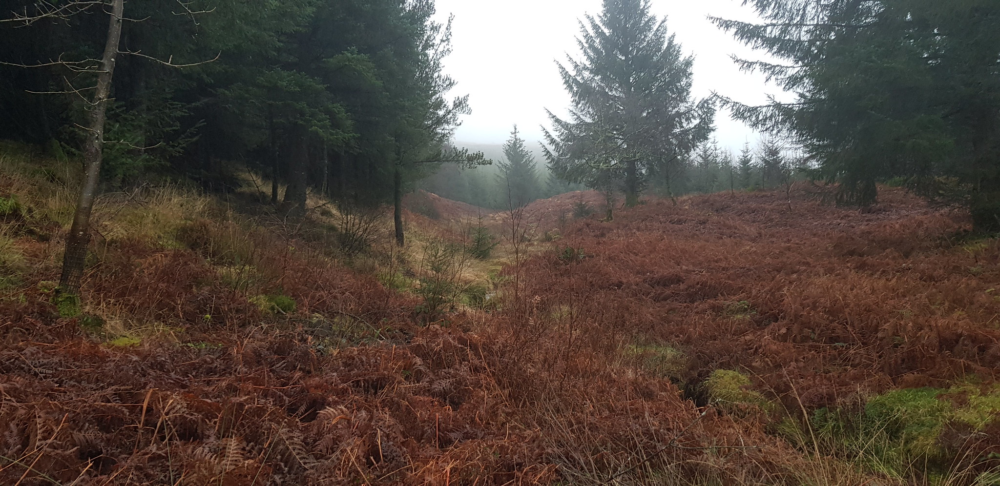
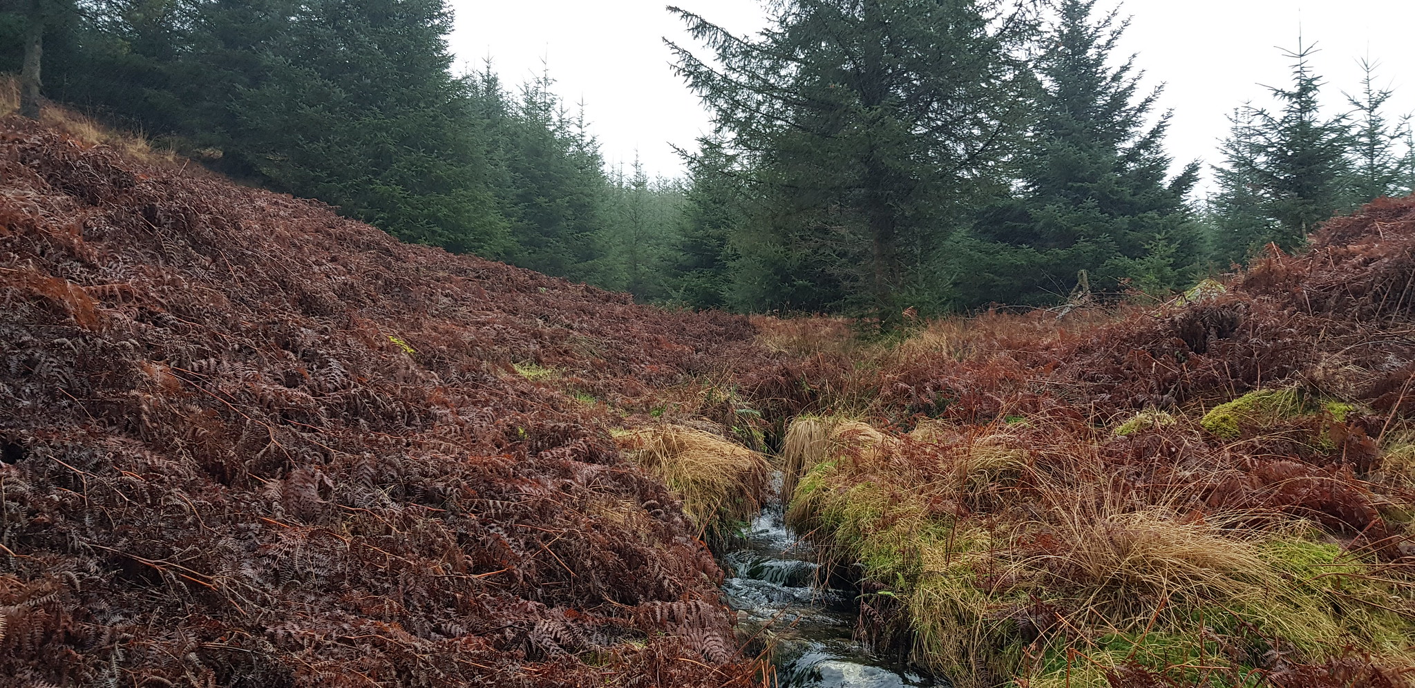
Our way ahead, was a shock to the system after the track, walking over dead mushy bracken is not much fun
The route I had plotted on my phone using the GPS planner was to utilise an obvious fire break heading uphill. The plan was excellent in theory but as you will see later the fire break is anything but obvious from the track. Our route uphill was OK initially but we were heading slightly away from my plotted route so we looked for any sort of opening that would take us north and back onto my route.

Looking back the photo makes the route look easy
Still going up, but we have to turn left soon

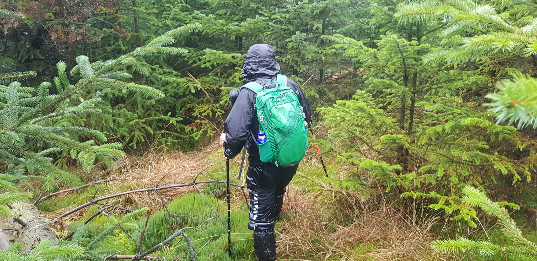
Doesn't that look inviting? Just as well we had waterproof trousers and gaiters on

Action shot of Parminder battling with the newer trees

This is typical of the battle we faced

Parminder retrieving one of his walking poles that had become stuck in the boggy undergrowth
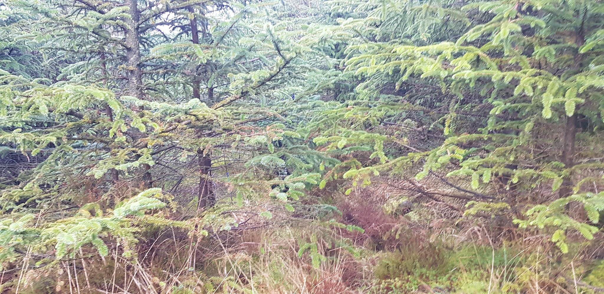
Parminder is hidden in there somewhere

You guessed correctly, Parminder is in there somewhere, only drawback I have to follow

At long last we had found another fire break, just look at the tussocky terrain - Yuk

Certainly better than battling through trees, but it was tough going especially uphill

Much better progress, we were following an animal path uphill

The way ahead and uphill
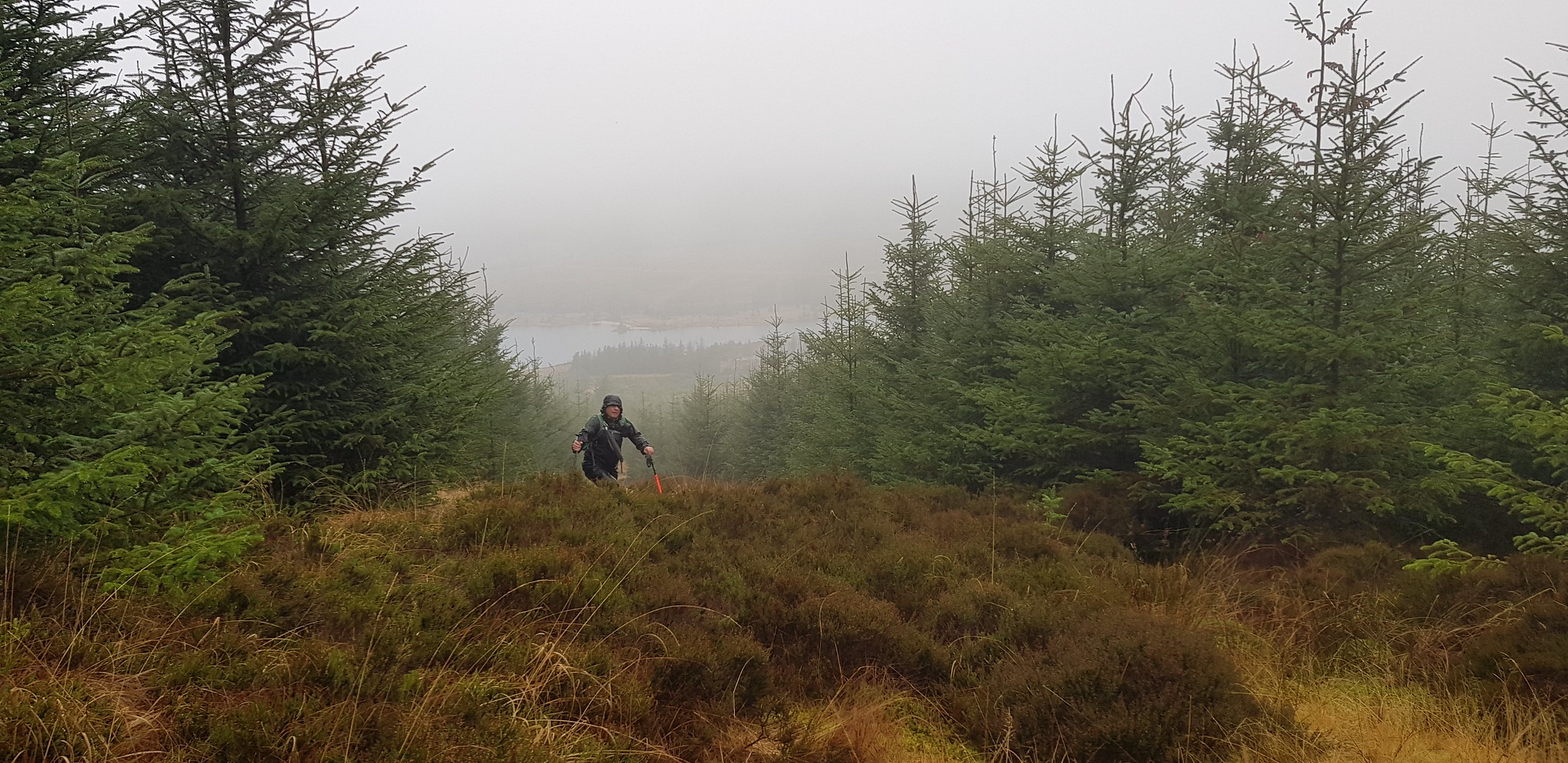
Looking back at Parminder living the dream

We came across an "old" path, this would take us back towards my plotted route

After plenty of huffing and puffing with literally no view we came across this cairn - I presume this is due south of the summit by about half a km and 438m
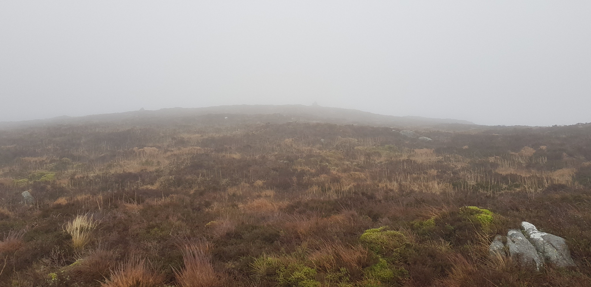
Summit cairn in the distance

Summit cairn at 470m, no video as it was too wet along with nothing to see
There wasn't any point in lingering so we quickly headed back down over the mush. Our main plan descending was to avoid battling with a single tree, we almost achieved that!

Descending we followed my plotted route down the fire break
Weather is improving slightly, still the odd tree trying to get in our way

Here we go again, much easier though, as the small trees weren't tightly packed together

Another obstacle for us to tackle
The good news is the track is literally only metres away now

This is the start of the fire break looking at it from the track, fairly obvious why we didn't venture in there initially

Photo of the top of my rucksack, there were plenty more pine needles earlier and I am still finding some today (the day after)

Kind of proves that the weather has improved, Loch Grannoch again

Water feature
The forestry worker still hard at it and earning his pennies

Parminder spotted these - scallop shells, there are thousands of them in the ditch that has been dug on the west side of the track.
Any experts amongst us who can explain how they arrived there?
This turned out to be a really tough day at the office, I was anticipating us taking about 3 hours and it turned out that the conditions added an extra hour on. I had to laugh at Parminder's comment when we neared the summit, "let's stick to Munro's they are easier than this".
If anyone is contemplating visiting Fell of Fleet I wouldn't believe what you see on a map, the rate that the trees are being felled will probably make the ascent even more tricky - if that is possible.
