free to be able to rate and comment on reports (as well as access 1:25000 mapping).
Hewitts: Elidir Fawr, Carnedd y Filiast
Date: 28/12/2019.
Distance: 9 km.
Ascent: 675 m.
Time: 3 hours, 15 minutes.
Weather: Warm and very windy.
Christmas in Surrey...I have managed to avoid heading to the deep south over Christmas for about the last 15 years, but we had a couple of days just outside Guildford with Jackie's folks. Fortunately the weather was reasonable, so we managed a good 45 miles on the bikes, including an unexpected 15 on Christmas Day in the sunshine.
 Somewhere in deepest Surrey...
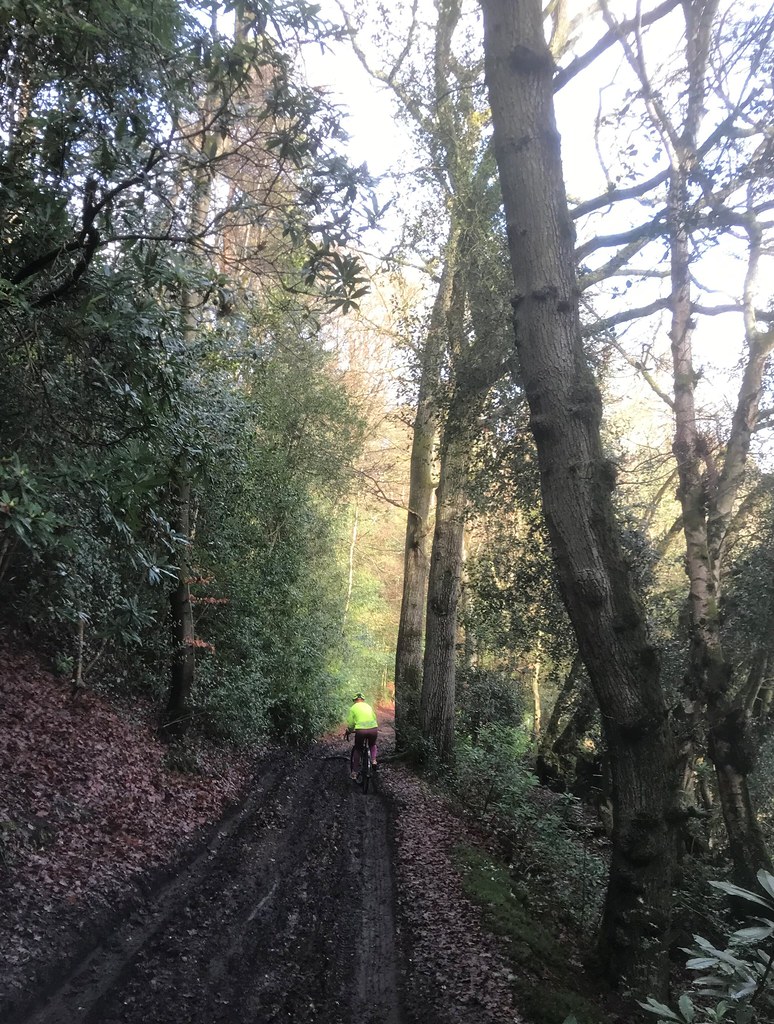
 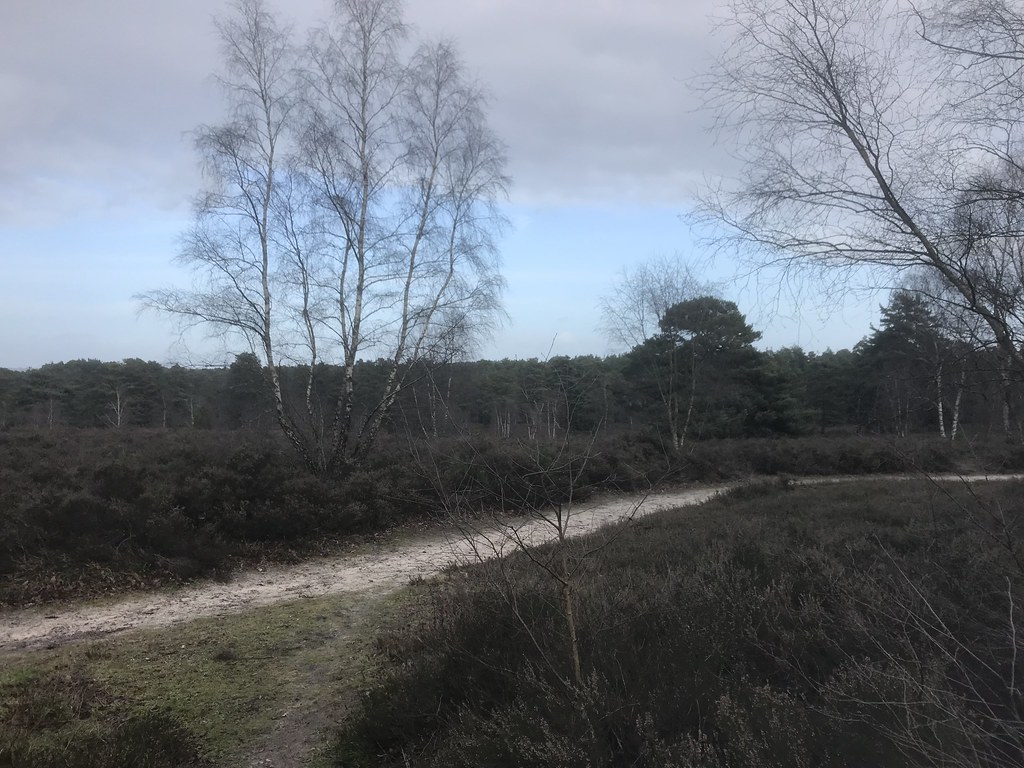 Witley Common on Christmas Eve
  The Tarn on Christmas Day
 Fast forward to my folks in Wales on Boxing Day and the weather was less great. We stopped in to see Mountainstar in Wrexham and miserably failed to find Hope Mountain in the all-encompassing mist (it is only a 3 minute walk but we couldn't even see enough of the road to find the car park

).
The next day, the forecast was a bit windy and variable, so we decided to cycle round Snowdon, meeting up with my parents halfway round in Beddgelert. Although it didn't rain that much, there was little to see until we reached Pen-y-Pass, at which point there was a little hole in the clag right over us.
 Gearing up in Nant Peris
 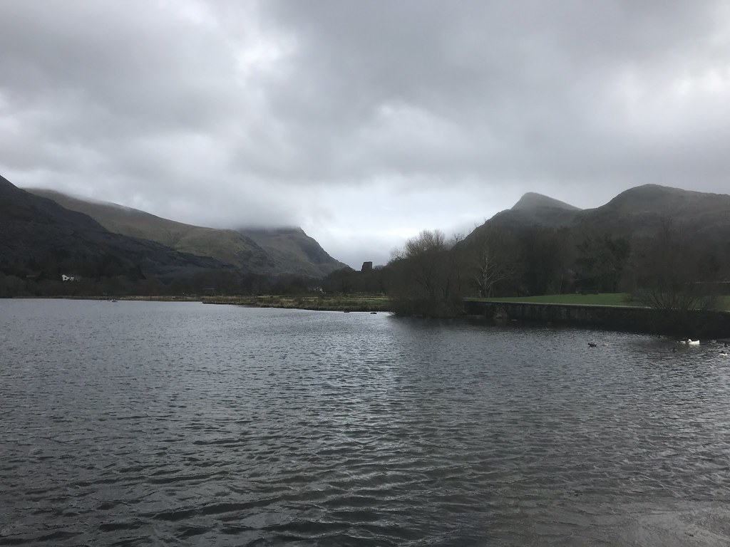 Llyn Padarn and Dolbadarn Castle
  Pen y Pass
 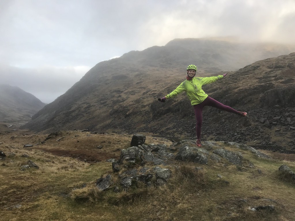 Llanberis Pass
  Cyrn Las, Nant Peris
  Cwm Glas, Nant Peris
 On our way home from Wales to Glasgow, we scoured the weather forecast looking for something half decent. We were headed for Conwy Mountain, but on our way off Anglesey, we noticed that the weather on Elidir Fawr was way better than it was supposed to be. We decided to ignore the potential for strong winds and head around the horseshoe from the top of the Hydro road.
 Anglesey
 On the way up the slopes of Elidir Fach, we could tell it was going to be rather breezy high up. We didn't bother visiting that particular summit, and rather than gain the end of the Elidir Fawr summit ridge, we followed the worn path up the flanks. Even here we were being buffeted about. We carried on knowing we had the option to just visit the summit and turn back afterwards.
 Heading up Elidir Fach
 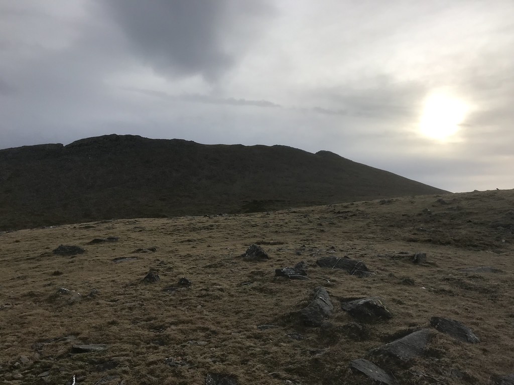 Elidir Fawr
  View back from the final ascent
 Although the day had been a bit grey so far, it was worth risking the battering winds on the summit ridge for the views west. There is always a good light out in this direction and today was no exception.
 Worth it for the view west over Nant Peris
  Moel Hebog back left
  Crib Goch and Snowdon
  On the summit ridge of Elidir Fawr
  Too windy!
 After pausing briefly in the summit shelter (we had clambered under some boulders on the side of the ridge to get here to remain in the lee of the hill for longer), we decided we might as well carry on. It was pretty busy - another 3 people at the top and a couple more groups approaching from the Bwlch Marchlyn direction. We messed up a bit here trying to stay out of the wind, and had to scramble over more rocks than would normally be required.
 Tryfan and Glyders
 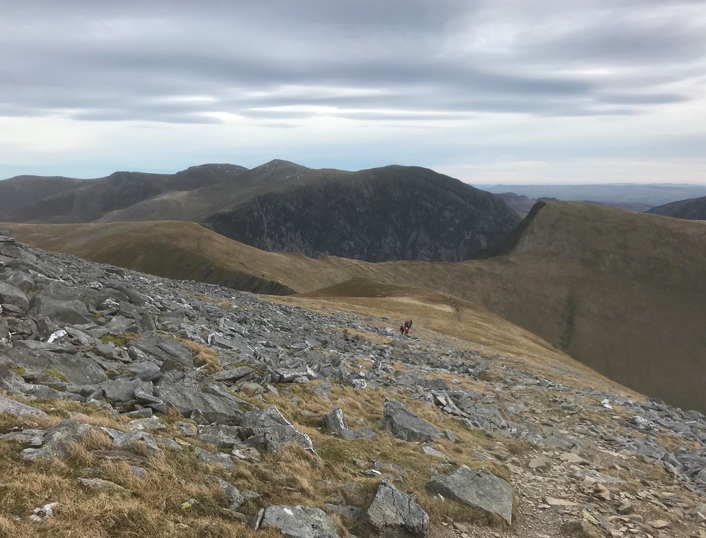 Carneddau
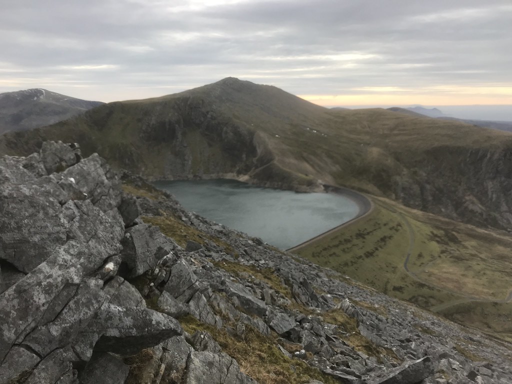
  Llyn Marchlyn Mawr
 The going was grassier soon an we re-ascended to Mynydd Perfedd, enjoying a new set of views over Nant Ffrancon and Ogwen. On the final approach to Carnedd y Filiast, the wind was at its most ridiculous and we weren't really able to get to the edge of the crags to look at Atlantic Slab.
 Tryfan and Llyn Ogwen
  Atlantic Slab
 We stumbled over the summit and down some boulders on the far side, eventually picking up a path that led us back to the hydro road. Only some way down this did the wind relent to the point where we could have a proper conversation.
 Elidir Fawr and Llyn Marchlyn Mawr
 Back at the car, we were glad we had stopped off here, and geared up for the drive back to Glasgow. The following day we would be heading to Inverness in preparation for an adventurous New Year's trip.
