free to be able to rate and comment on reports (as well as access 1:25000 mapping).
The big headache this week was deciding where to go - now that Allison's Corbetts are complete there is no longer the Corbett schedule driving our adventures. Plus there was a pretty terrible forecast of torrential rain over some of the weekend and my car was in for a service on Thursday morning with no guarantee it would be back in time to head off that afternoon. I decided I wanted a campsite for a bit of comfort for at least a couple of the nights, but I find the idea of most campsites verging on the intolerable, so I decided to base ourselves around Comrie. What could we do there? Precious little, actually, as we've used it as a base so often. Allison had been talking about finishing off the four Donald Tops she needs to "properly" complete the Donalds (with the new SMC rules, that is), so it would be an opportunity to revisit those Glen Artney hills. Then we could head back up towards Loch Rannoch and do small hills on the bad weather days.
I did get my car back in good time and we set off as usual just after four. Rather chillier than of late - was -1 when we arrived at Comrie Croft and got pitched - and a cold night it was as well. Huge moon, bright as a spotlight over the tent all night - it would have been a perfect night for a bit of hillwalking by moonlight. And a lovely morning when we arose, sun sneding fingers of orange and red through the clouds, mostly clear skies. We breakfasted at leisure then motored down to Glen Artney, parking at the car park beside the church.
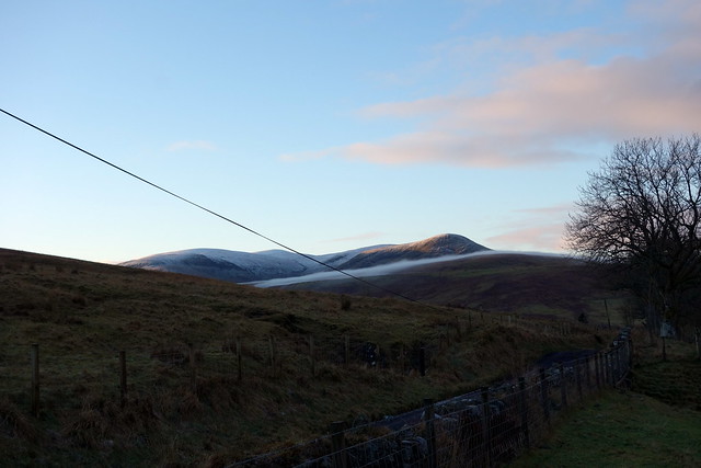
We took basically the same route I'd used on my own last time round, heading for Auchnashelloch Hill then across the footbridge over the Allt Ollach. But this time we made for the prow of Am Beannan, for a little bit of excitement (God knows that's hard to come by on most Donalds). Found an old snare on the way up, which was disposed of. Mist came right down when we got to the top and stayed with us for the remainder of that day. There was a residue of snow as we tramped up to the necessary Donald Top of Meall Clachach then followed the fenceline to the Graham/Donald of Uamh Bheag. Cold and windy - we sought shelter for lunch in a peat hag before trudging on towards Beinn Odhar, the noise of the wind turbines the only thing that suggested we were getting near. Up and down in snowy peat hags - yay

Then on to Beinn nan Eun before descending above the steep cragline back into visibility, if no longer sunshine. Passed a couple of ex-army armoured personnel carriers without wheels, which I guess they use for explosive testing...also met a posh gent out with his spaniels who suggested we should restrict ourselves to ground level walks if we wanted better views

 DSC02692
 by
Al, on Flickr
Those challenging Grahams on the north side of Glen Artney
 DSC02693
 by
Al, on Flickr
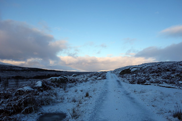
Ominous mist
 DSC02696
 by
Al, on Flickr
Am Beannan
 DSC02697
 by
Al, on Flickr
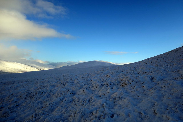
Meall Clachach - honest
 DSC02698
 by
Al, on Flickr
Approaching Uamh Bheag
 DSC02699
 by
Al, on Flickr
 DSC02700
 by
Al, on Flickr
 DSC02701
 by
Al, on Flickr
 DSC02704
 by
Al, on Flickr
Back at the campsite, enjoyed a hot shower then started cooking tea as the rain began - and continued for most of the night. Woke to find the tent in a rather enormous puddle

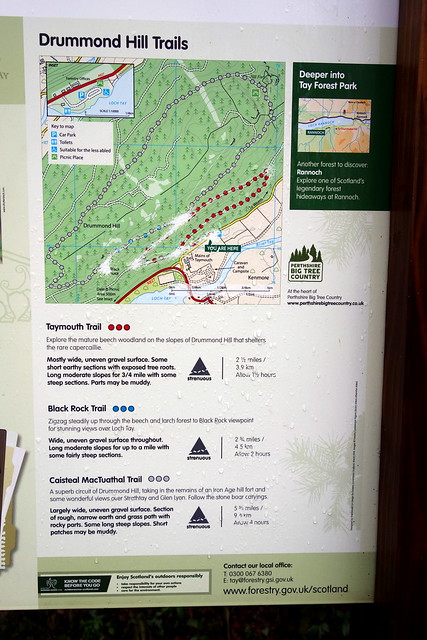
Dilly-dallied in getting packed up as there was little to look forward to with the forecast for today. I'd chosen Drummond Hill, beside Kenmore, which - going by most reports - included an unpleasant forest scramble section - just what Allison loves. Anyhow we parked in the FC parking area and set off up good tracks, the promised rain not much more than a drizzle. Met a family group pushing a perambulator up by the viewpoint - that was unexpected

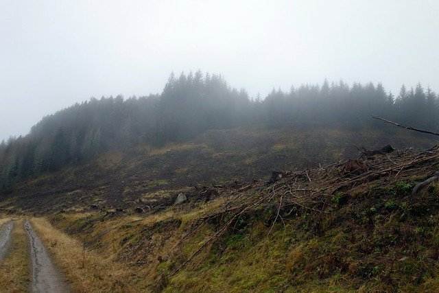
We continued along the track to an area that has been felled - this seemed to be a work in progress in a couple of the reports I read, but all the trees and machines long gone now.
Nice track to follow
 DSC02705
 by
Al, on Flickr
None of the suggested trails go to the top
 DSC02706
 by
Al, on Flickr
We took a line at the western end of the clear-felled area and had to walk maybe 150m over an extraction track before coming to the wall that I knew leads you to the summit. This was actually rather lovely - mossy underfoot, plenty of room between the trees and any rain kept off our heads by the canopy of pine branches. After a little while we came to the cairn, hidden behind a pine tree at the wall. Back the same way, much better than I'd anticipated.
felled section
 DSC02708
 by
Al, on Flickr
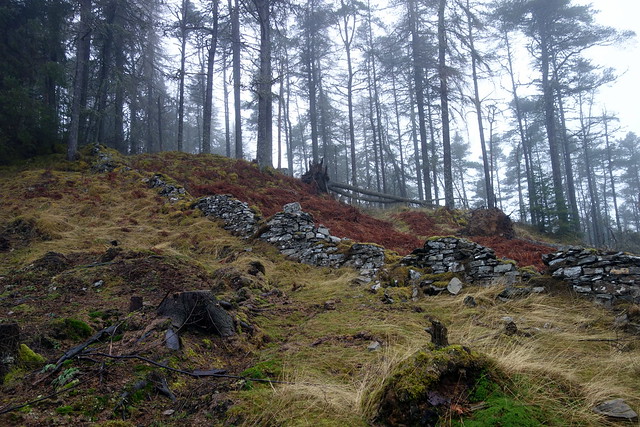
Nice guide wall
 DSC02709
 by
Al, on Flickr
Yay!
 DSC02710
 by
Al, on Flickr
 DSC02711
 by
Al, on Flickr
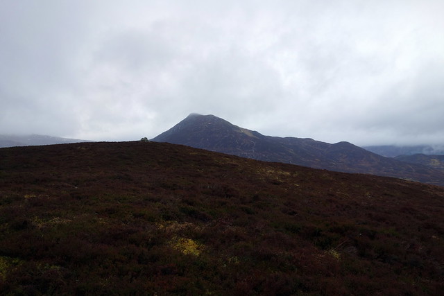
We drove on, up the Coshieville road to White Bridge, where our second objective, Dun Coillich lay. Parked at an opening just south of White Bridge, though you could probably park at the start of the walk, at the Community Woodlands sign. Through the gate, left through a strange barrier then jump across a small stream and you are on a waymarked trail with green topped posts. I - rather naively - thought this would wind up to the summit of our hill, but it sadly does not, just keeps going NW. So we cut off and started up the heathery hillside towards the top - about 100m of hard going through springy heather tussocks. The summit rewards with a fine view of Schiehallion - I think Allison felt short-changed though
On descent, I spotted a line of small yellow flags that maybe avoided the worst of the tussocks.
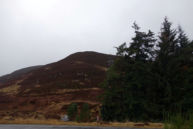
Dun Coillich from the road
 DSC02712
 by
Al, on Flickr
Tussock-country
 DSC02713
 by
Al, on Flickr
Nearing the summit, Schiehallion beyond
 DSC02714
 by
Al, on Flickr
Allison so moved by the sight of Schiehallion she looks the opposite way
 DSC02715
 by
Al, on Flickr
 DSC02716
 by
Al, on Flickr
I had semi-hoped to get Drumcroy Hill, up by Trinafour, done as well, but it was 3:15 when we got back to the car. Tomorrow's target was Sron Smeur, along by Rannoch Station. I wondered whether we should camp at the spot we often use not far past the McDonald Hotel, or whether to camp at the start of the walk, which would save some time in the morning. I opted for the latter and we drove along the south shore of Loch Rannoch. The amount of rain that had fallen had swollen every stream into a torrent, and in many places the road was under water - I was glad to be driving a 4x. As we drove past Bridge of Gaur, the River Gaur was almost up to the road and I worried quite a lot later that night about the road gettign washed away - not easy to get out from Rannoch Station if the road's been removed.
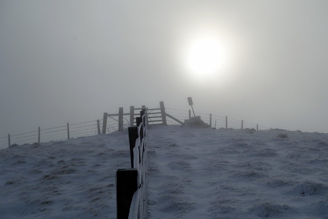
We got pitched in the spot we've used a few times, fending off the rain and enjoying a very tasty curry. It looked as if it would be another wild night - once again the rain started lashing on the tent and the temperature started to drop. After midnight the sky cleared (that big moon came back) and the temperature plummeted, tue=rning the sodden tent into frozen cardboard. Around 7 I woke and asked Allison what the sound like many mice-feet scampering over the tent was. She said it had been snowing for the last couple of hours. Snow! not when we're stuck out here

No wonder it was even darker in the tent than usual - bashing a good 2-3 inches of snow off helped lighten things up. It seemed to be getting a bit milder - the snow around the tent quite soft, so the spectre of being snow-fast at Rannoch receded. The a car passed by, removing my fear that the road to Kinloch Rannoch was a thing of the past. We breakfasted, packed the tent away and set off for Sron Smeur.
 DSC02717
 by
Al, on Flickr
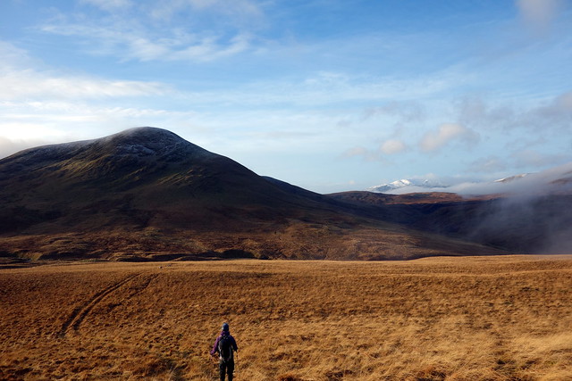
Most folk seem to add this wee hill onto Beinn Pharlagain, but we hadn't for some reason. Straightforward wander up the track then head up the hillside, initially on an ATV track which quickly peters out, for Meall Mucarach and thence to Sron Smeur. Deer tracks wove amongst the tussocks, but the terrain wasn't too bad - apart from snow-covered peat hags in Bealach nan Losgann, which had me up to my knees and would quickly have sucked me further into their cold embrace had I not struggled out. The summit view from Sron Smeur was up a snow-lined Loch Ericht.
 DSC02718
 by
Al, on Flickr
 DSC02721
 by
Al, on Flickr
 DSC02723
 by
Al, on Flickr
 DSC02724
 by
Al, on Flickr
 DSC02726
 by
Al, on Flickr
Summit Sron Smeur
 DSC02727
 by
Al, on Flickr
We came off the western side - steeper and bigger tussocks - spotted an eagle circling overhead, looking for his lunch no doubt. Headed down to the west end of Lochan Sron Smeur and picked up a frankly disappointing track that brought us back to the main track we'd started out on.
 DSC02728
 by
Al, on Flickr
Hungry eagle
 DSC02729
 by
Al, on Flickr
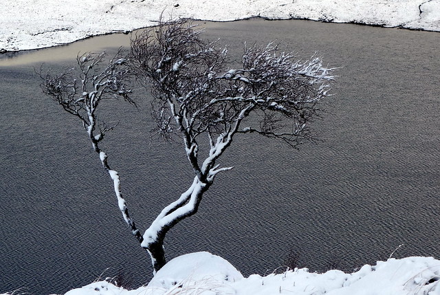
Lochan Sron Smeur
 DSC02730
 by
Al, on Flickr
 DSC02733
 by
Al, on Flickr
Back at the car we had lunch and wondered what to do - I was anxious to get away along Loch Rannoch before the next wave of snow came along. i don't much enjoy driving in snow - the temperature was still a lowly 1.5 degrees which made ice a possibility. I had hoped to take in Drumcroy Hill once again, but we drove past the road for Trinafour. After that the weather improved greatly, beautiful sunshine as we got onto the A9. I was kicking myself for not getting another hill in and pulled over to see what else we could do on the way home. Steele's Knowe, down near Yetts o'Muckhart, wasn't a long way off route - but as we approached the turn off for it the skies blackened and the rain started up again. Time to call it a day and just get home early.
