free to be able to rate and comment on reports (as well as access 1:25000 mapping).
Looking back at 2019 and overall it had been pretty successful on the hill walking front. I’d finally compleated my final 3 Munros and also ticked off my remaining 4 Donald Tops, in order to comply with the recently revised edict on their completion. I’d also managed to get the tent out a couple of times and enjoy some uncomfortable night’s sleep in the semi-wild. It could have all been a lot better as well, had the final quarter not simply petered out with just a single Corbett and a handful of sub 2000s bagged. Many opportunities seemed to have gone-a-begging toward the end of the year for one reason or another.
Plans for the start of 2020 had been impressive though. There would be Corbetts and Grahams and a host of sub 2000s getting me off to a flyer....................but then the Met Office intervened, with talk of heavy rain, strong winds and generally not very nice conditions, putting paid to my plans. I had no intention of driving long time, to walk long time and just get wet and see nothing in the process. I could achieve the getting wet and seeing nothing part by simply stepping out my back door if I really needed to.
Eventually though MrsR could see I was going stir-crazy, so she ordered me out the house on the first Sunday in January.........but only after I’d given her a lift to work first that is.......
It was a bit of a drive (for my walk, not MrsR’s work), but I thought I’d ease myself into 2020 with a romp up a couple of straightforward Aberdeenshire sub 2000s – Cairn-mon-earn and Kerloch.
Cairn-mon-earn would by first. I’d rather overlooked the fact though, with its good tracks, that Cairn-mon-earn might be a popular destination for the local dog walking fraternity. As a result, on my late morning arrival at the small parking area it was a bit of a squeeze to get the motor parked up in an available spot.
My route up the hill would be via that supplied by WH. Easy tracks all the way and I was at the summit in around 45 minutes. Despite the rather unattractive paraphernalia adorning the summit area it’s not a bad place for a view really, with Bennachie/Mither Tap, Morvern and The Buck standing out (although the panorama seems to be stacked with various lumps and bumps thst I couldn’t easily identify, many of which I’ve probably climbed).
 P1130815
 by
Pete Riedel, on Flickr
Easy track to start the walk P1130819
 by
Pete Riedel, on Flickr
Eventually the track got a bit rougher as I headed to the summit P1130827
 by
Pete Riedel, on Flickr
Morvern P1130831
 by
Pete Riedel, on Flickr
Summit panorama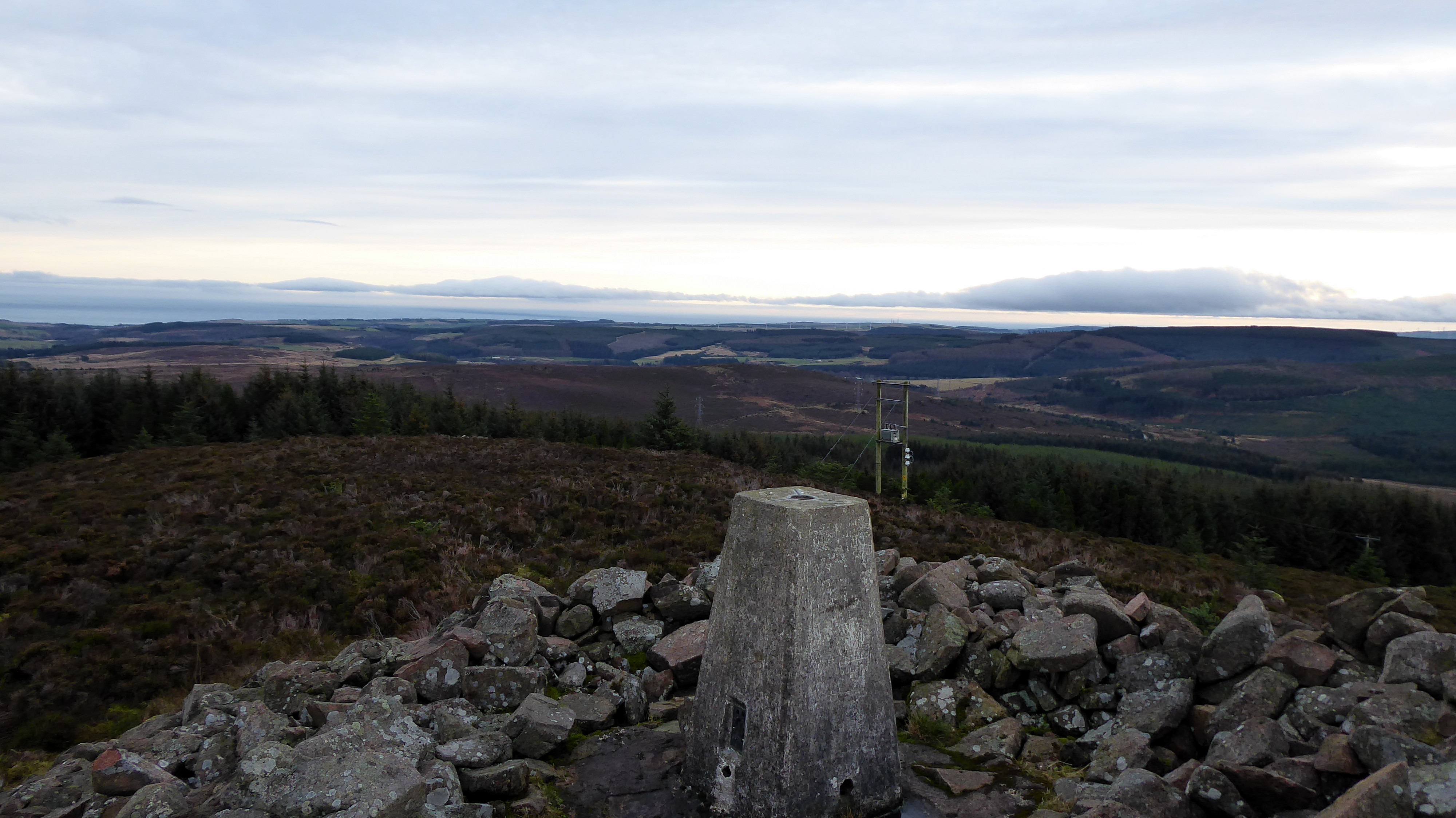 P1130834
 by
Pete Riedel, on Flickr
View of the summit P1130839
 by
Pete Riedel, on Flickr
Headed from the summit to the bench just off from the highest point P1130843
 by
Pete Riedel, on Flickr
Morvern again P1130845
 by
Pete Riedel, on Flickr
The BuckRather than retrace my steps I thought I would head for the obvious firebreak and get back to the car a bit quicker. Well, I say obvious firebreak. It was obvious on the map and once I’d finally found located it it was something of a mystery to know how I’d ended up for 5 minutes thrashing through some pretty dense forestry trying to locate it.......clearly a bit of a navigational boo-boo there.
 P1130849
 by
Pete Riedel, on Flickr
Where it all started to go wrong....for a few minutes anyway P1130851
 by
Pete Riedel, on Flickr
Where is that firebreak? P1130853
 by
Pete Riedel, on Flickr
Makes you wonder how I missed it 
Anyway, once I was on the firebreak there is a rough track that took me quickly back to the roadside and the car. Up and down in around an hour 15.
 P1130856
 by
Pete Riedel, on Flickr
A quick and easy route downA nice gentle introduction to 2020 (apart from the thrashing through trees bit), as I headed off to my next target......Kerloch
It was a short drive to the small parking area at the sizable track just past the Adventure Centre. I was just following the standard WH route up and down, although had toyed with pathless, heathery option of a detour on the way back via Little Kerloch and Hare Hill, where I could have picked up a good track back via Pitreadie Farm...........in the end though I had to question why I’d want to inflict a trudge across pathless heather on myself so early on in the new walking year, so such thoughts were cast aside for the more sensible choice.
 P1130862
 by
Pete Riedel, on Flickr
Start of the Kerloch route from the roadside parking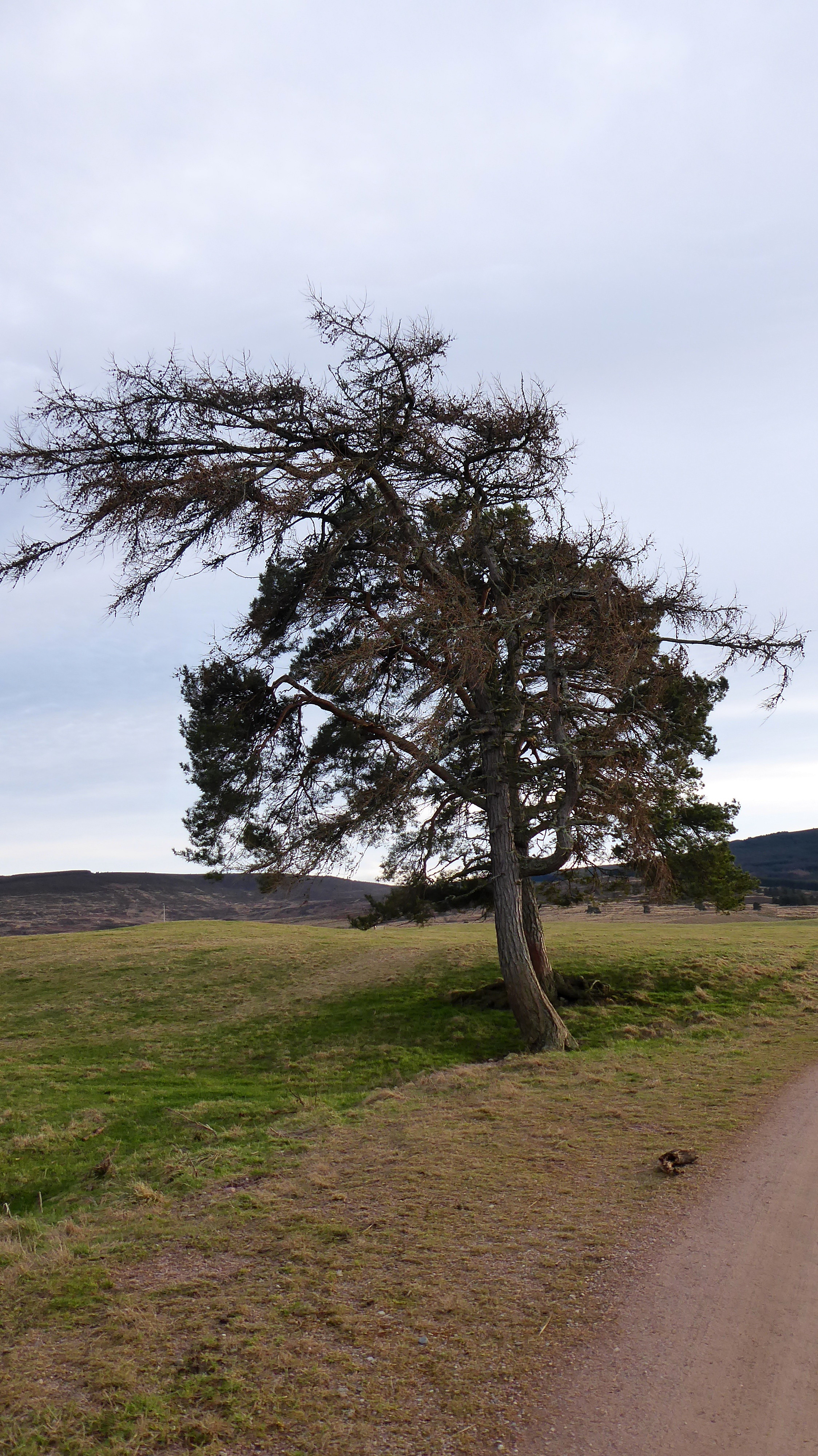 P1130864
 by
Pete Riedel, on Flickr
I do like a nice tree P1130870
 by
Pete Riedel, on Flickr
A good easy route initially P1130876
 by
Pete Riedel, on Flickr
Got a bit rougher as I got higher up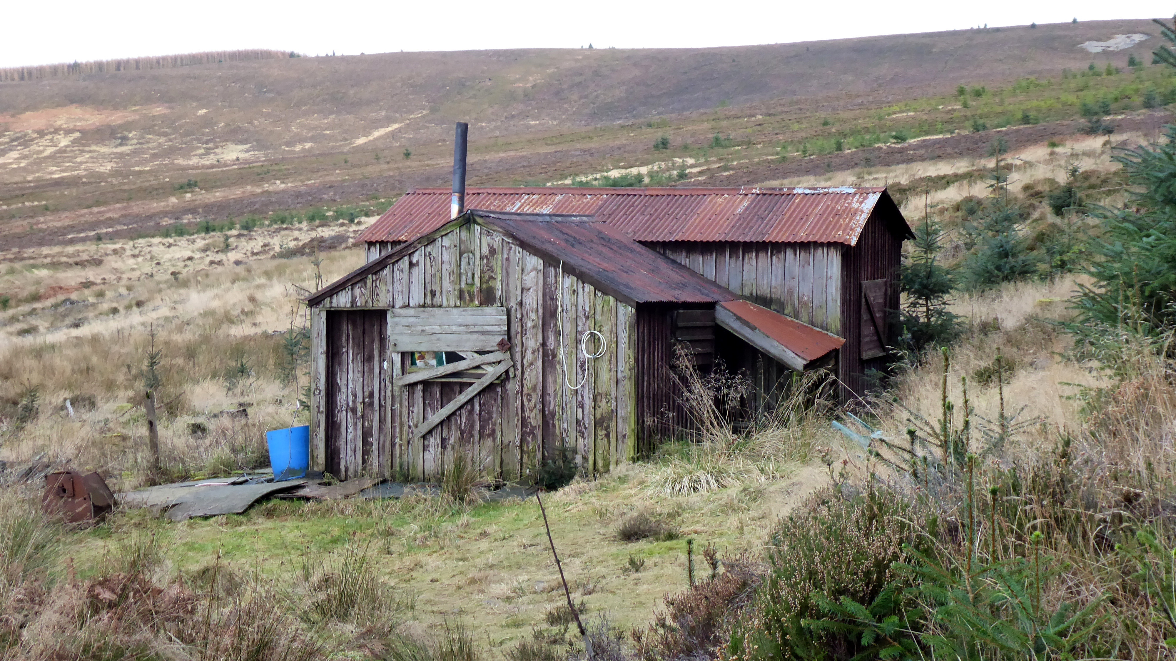 P1130882
 by
Pete Riedel, on Flickr
The famous ramshackle hut next ro the path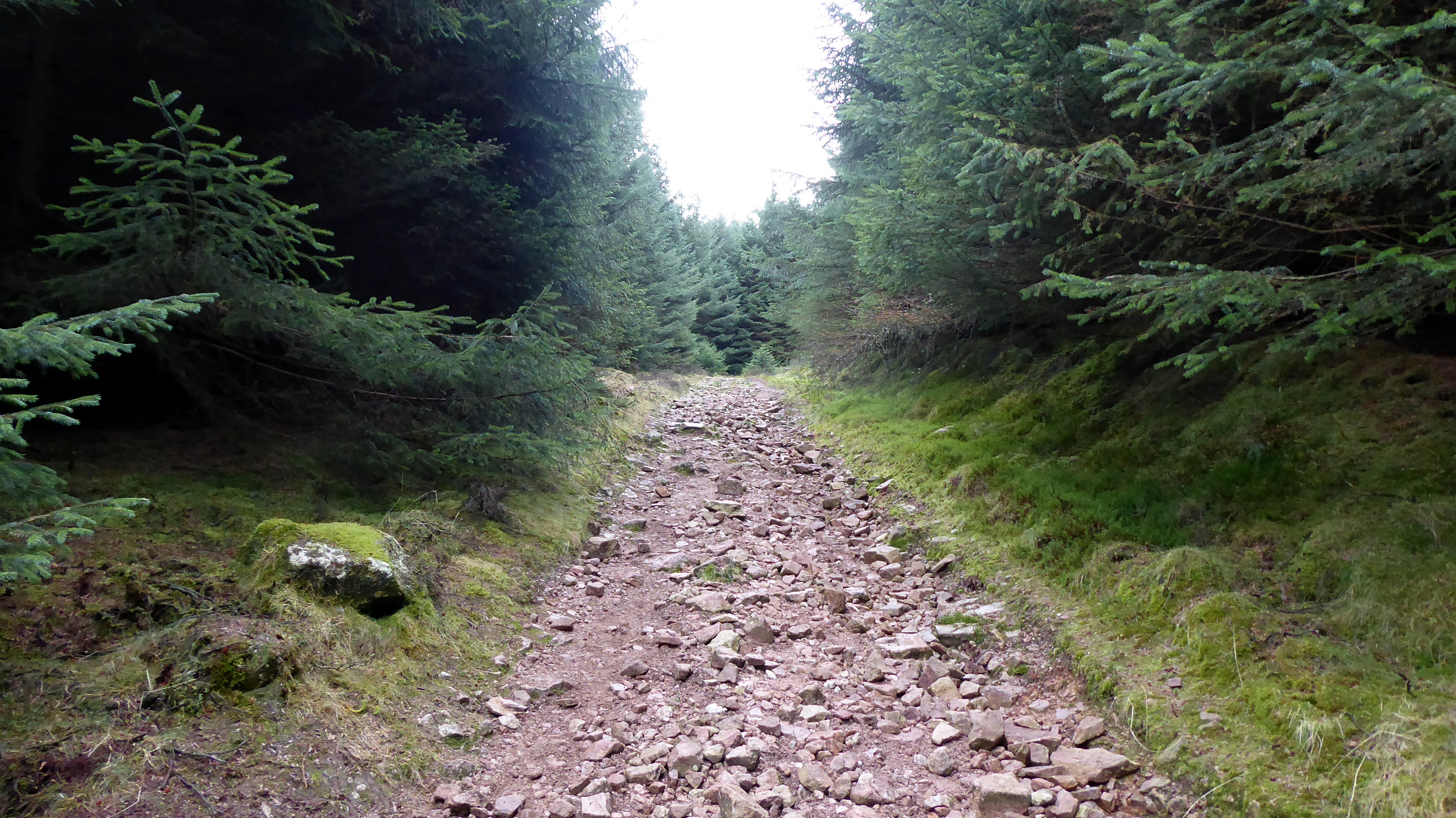 P1130886
 by
Pete Riedel, on Flickr
Eventually the track gets very rough, but nothing too bad really P1130894
 by
Pete Riedel, on Flickr
Looking back the way I'd come, from close to the final push to the summit P1130898
 by
Pete Riedel, on Flickr
The pimple of the summit cairn on the final bit of ascent P1130901
 by
Pete Riedel, on Flickr
Another nice view ruined..... 
 P1130911
 by
Pete Riedel, on Flickr
Kerloch summitWalkhighlands suggest 3 to 3.5 hours for this one, although I was closer to 2.5 hours and I’m by no means the fastest....... It was getting a bit windy when I reached the summit, which hampered photographic opportunities unfortunately. So a quick text to MrsR to let her know I was still alive and then it was back to the car in the chilly glow of a setting sun.
 P1130925
 by
Pete Riedel, on Flickr
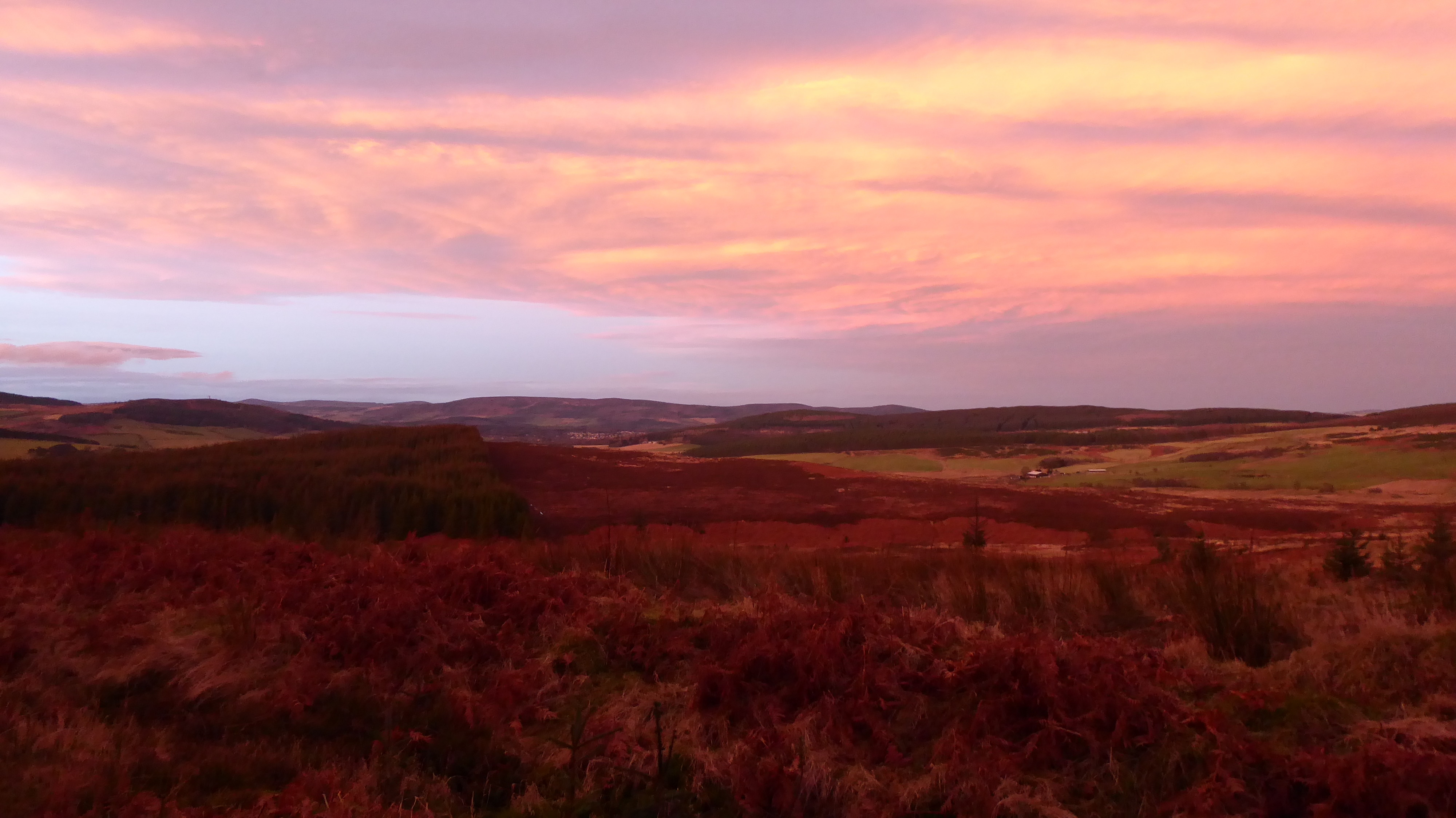
It all got very "red" on the way back down P1130927
 by
Pete Riedel, on Flickr
As did the ramshackle hutMaybe not the plans I’d had to start the year, but hill walking 2020 style was finally underway.
