free to be able to rate and comment on reports (as well as access 1:25000 mapping).
A decent-ish forecast had been found for Innerleithen and the surrounding hills, so we sat out a damp morning with Malky’s sister in Edinburgh before driving down the road to meet David at Gatehopeknowe – instead of the usual route up this hill he had suggested a more interesting approach. We had managed to be late, which meant that for once David had actually done all his faffing and was ready to go


We walked up the track before negotiating the many different entrances around the houses and finding ourselves on what we hoped was the correct route

This section was a bit sticky underfoot but nothing like the mudbath we had thought it could be….

The track climbed high above the burn, yet the ground became muddy and slippery. We could see Seathope Hill ahead – not our route this time.

The track dropped down to a bridge and some sheepfolds where some of us took advantage of the shelter to have a pee
Although it wasn’t properly raining, it was the kind of annoying drizzle that you don’t really notice until it’s got you soaked

We added rain jackets for now but further along I decided that leggings weren’t very waterproof and added the trousers too while we were enjoying nice homemade sausage rolls for lunch

Further up the glen we came upon a couple of houses – one looked like a holiday let but the first was definitely lived in. We had to cross the burn here – David did a running jump which sort of got him across but with a bit of a splash. Malky failed to photograph that but obviously made an effort to watch me fall in…which I fortunately didn’t do

Just around the corner we had to cross it again – slightly awkward but doable, and always with an audience

From here the track climbed consistently – although we didn’t really notice it at the time I was making hard work of the ascent; clearly not feeling my best
We slowed the pace down as we approached the top of the glen at Hope Head

From here there was a track that took us back on a dog-leg – we decided to take this partly to keep us out of the wind for longer and also to make the ascent a bit more gradual. Even so, we gained height fairly quickly.

David taking photos of us to prove that he has friends

Once on the wide grassy ridge the wind increased but it wasn’t as bad as we had expected, and also from a completely different direction
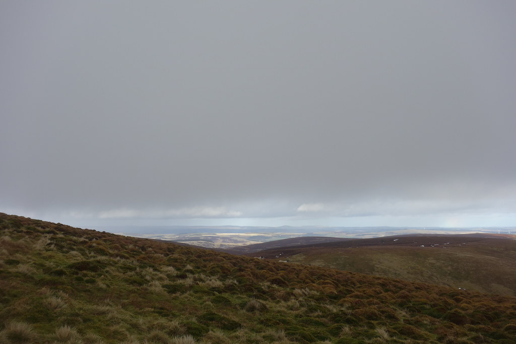
The views back down the glen were nice in between showers

We headed along the ridge – it was relatively easy walking but my legs weren’t enjoying the uphill sections very much

The ridge steepened towards the end giving excellent views back

Sun in the distance on what Malky suspected was Dirrington Great Law – it actually turned out that he was correct, the smug b*stard!
As we approached the fence junction we ended up in the cloud and the views disappeared. From here it was a short walk to the summit – which according to David was about 40 metres short of the trig point

 2m apart...
 It was cold, windy and sometimes wet so we didn’t hang around. We plodded back to the fence junction with some immature fun on the way
 Snowballing
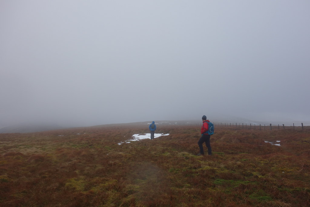
Back at the fence David decided he was going to go down the other ridge over Scaw’d Law and Cairn Hill. Normally I’d have been up for it too but as I wasn’t feeling great decided to take the easier option of retracing our outward route. Malky, being a gent, came with me. I guess he wanted a lift home too

The views did clear a little, and we made relatively good progress down
 The Eildon hills above Melrose
I was feeling pretty pooped but walking back down the glen was definitely easier than up
The river crossings were negotiated without incident and the worst section was the little bit of up towards the end
 The Tweed
 Of course just as we were dropping down towards Gatehopeknowe the rain decided to unleash itself properly so we arrived back at the car with our waterproofs completely drenched….typical

David’s van had gone, so he had either had it nicked or beaten us down
We had thought to climb Whitehope Law on the way back but that was shelved for another day. Malky kindly offered to drive home so the only thing I had to do was try not to fall asleep
