free to be able to rate and comment on reports (as well as access 1:25000 mapping).
With only 2 Sub 2000's left south of the Central belt I had a decision to make regarding which one to tackle on my way home from Englandshire. I opted for Craignell as it was slightly further west, I did my usual research and as usual there aren't many walk reports to help. Once again I studied McMole's route and loosely followed it (thanks).
I arrived at my designated parking area shortly after 11am and was soon on my way.
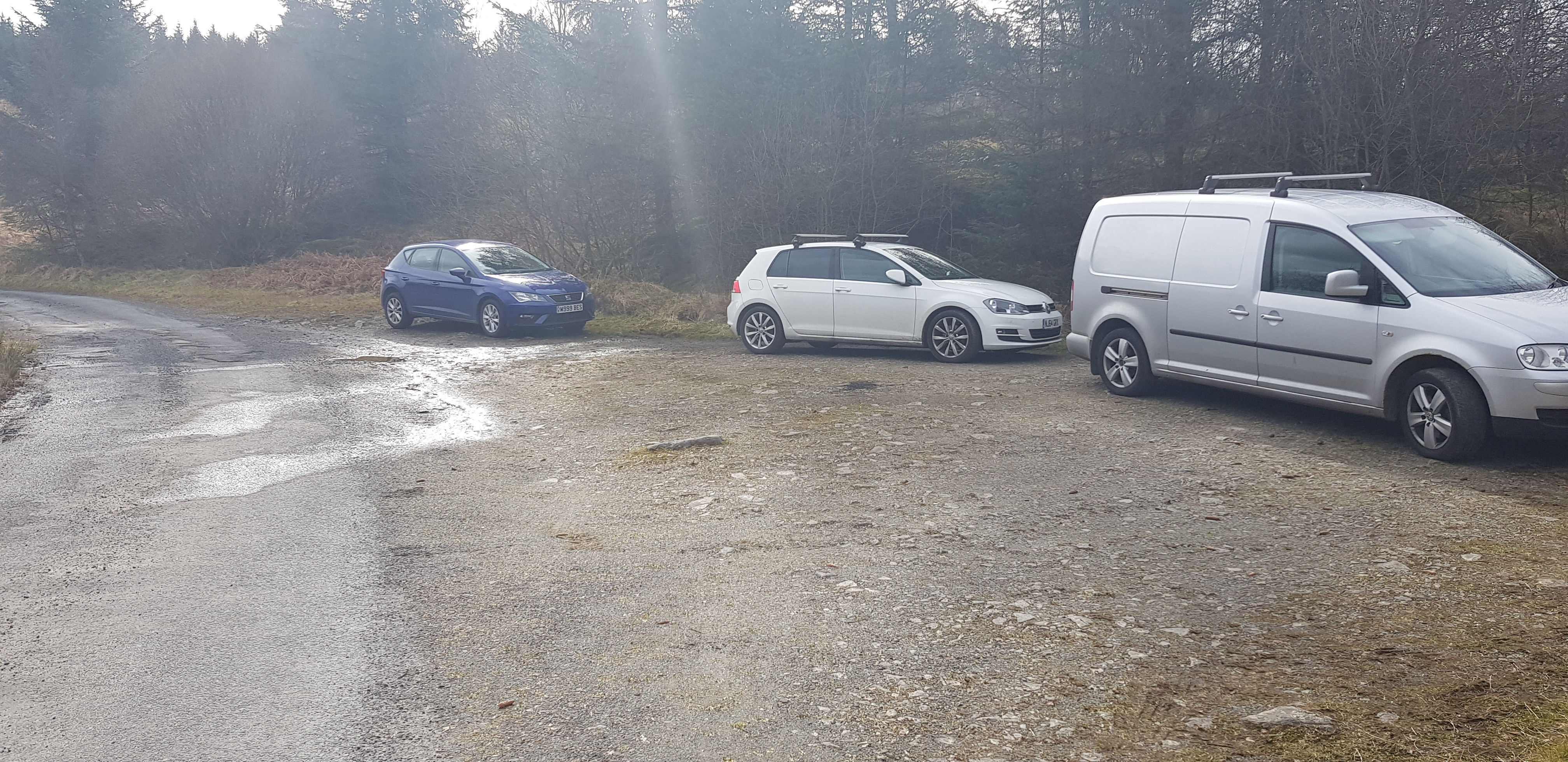
Parking layby, never saw a human being and the other 2 vehicles were still there when I returned
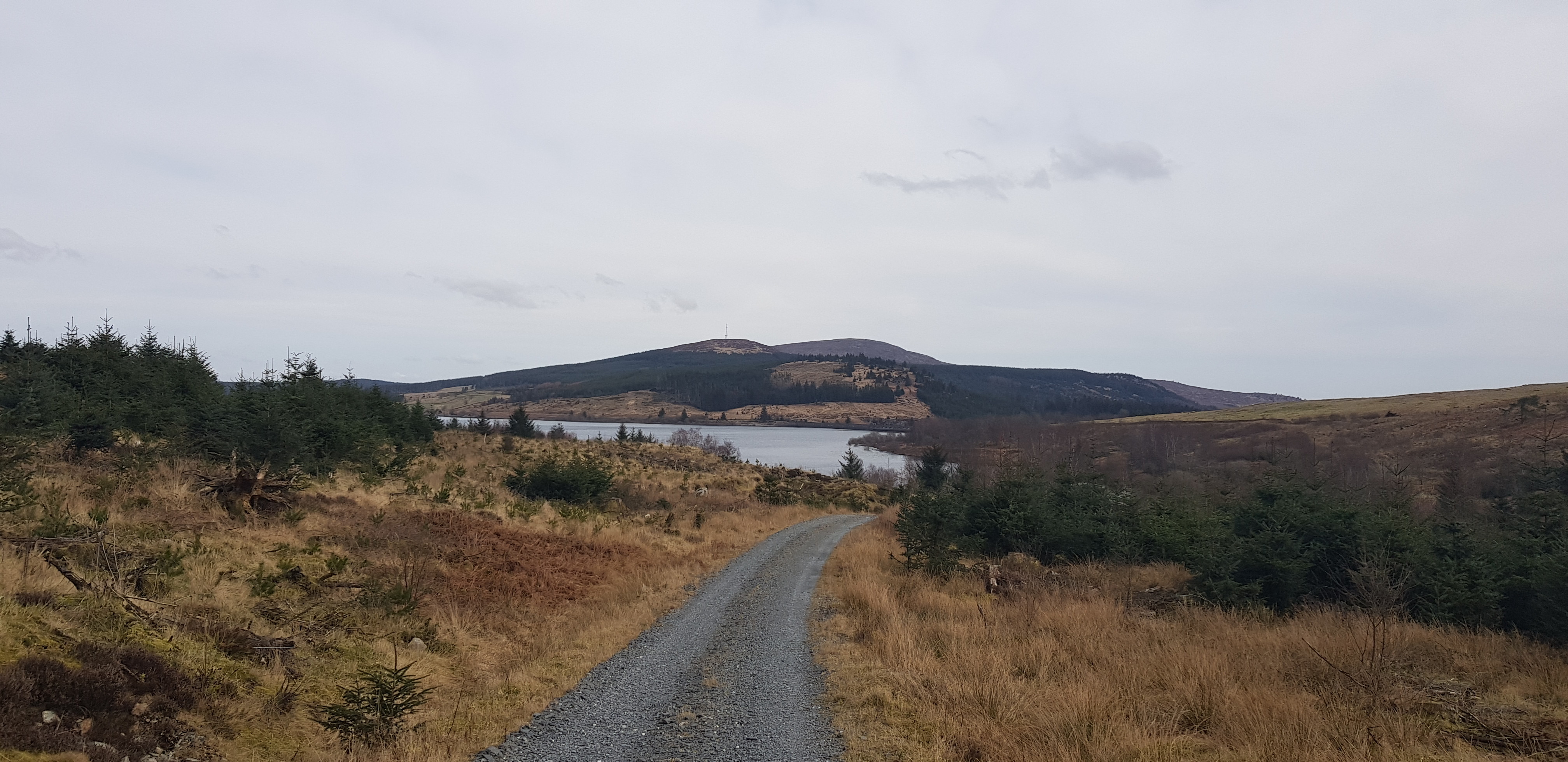
Clatteringshaw Loch in the background
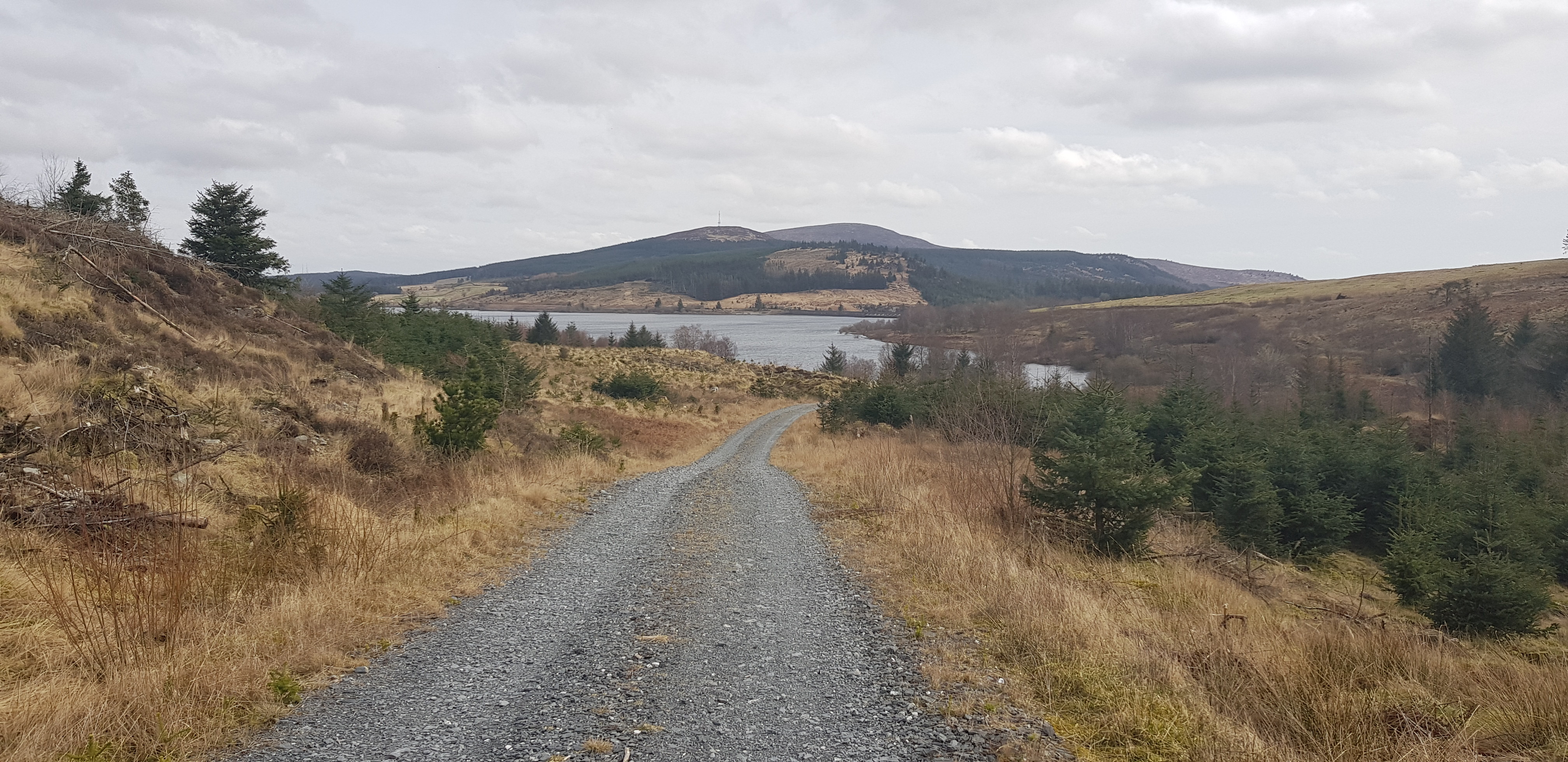
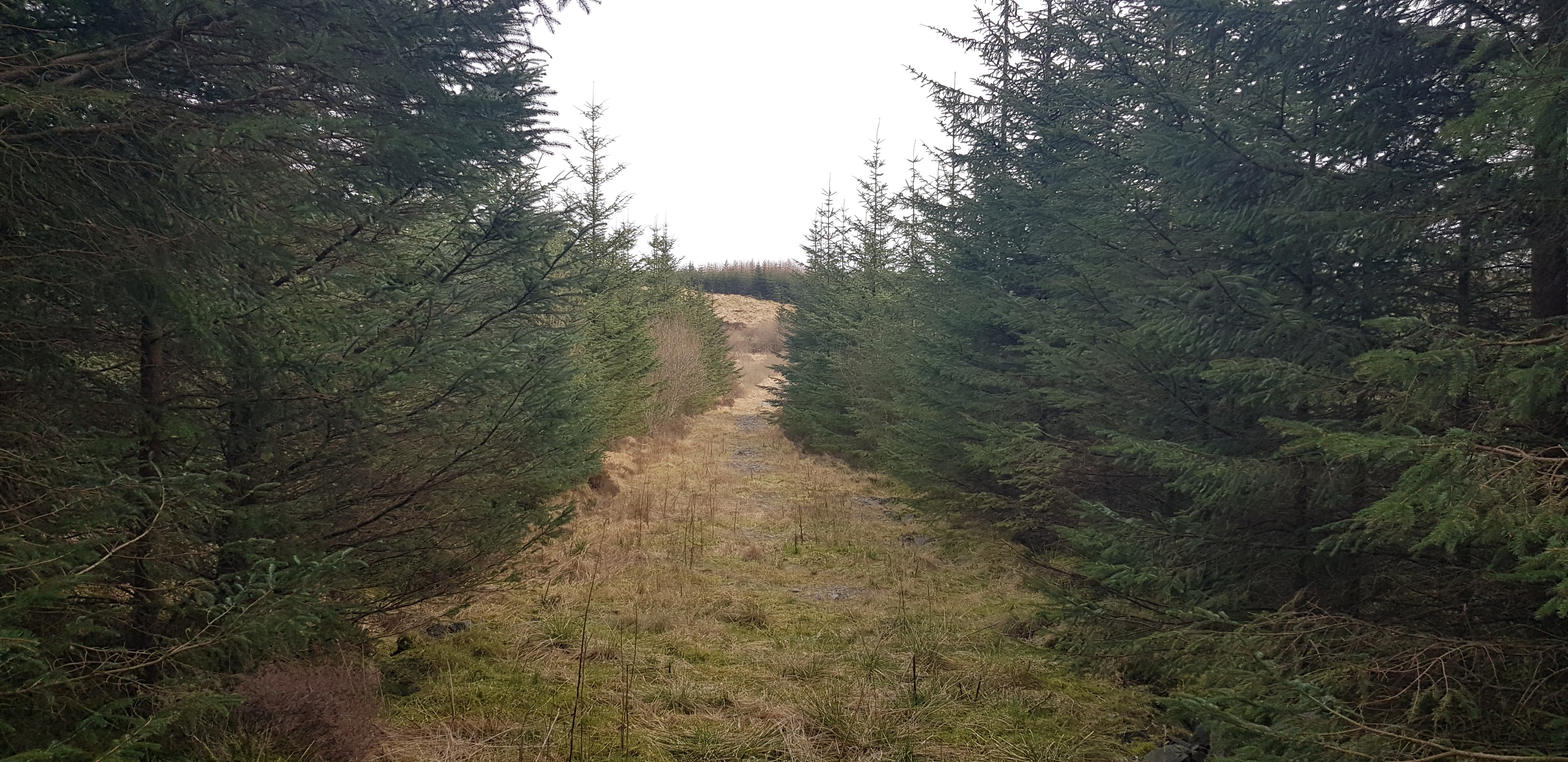
The start of the walk looking back along the track

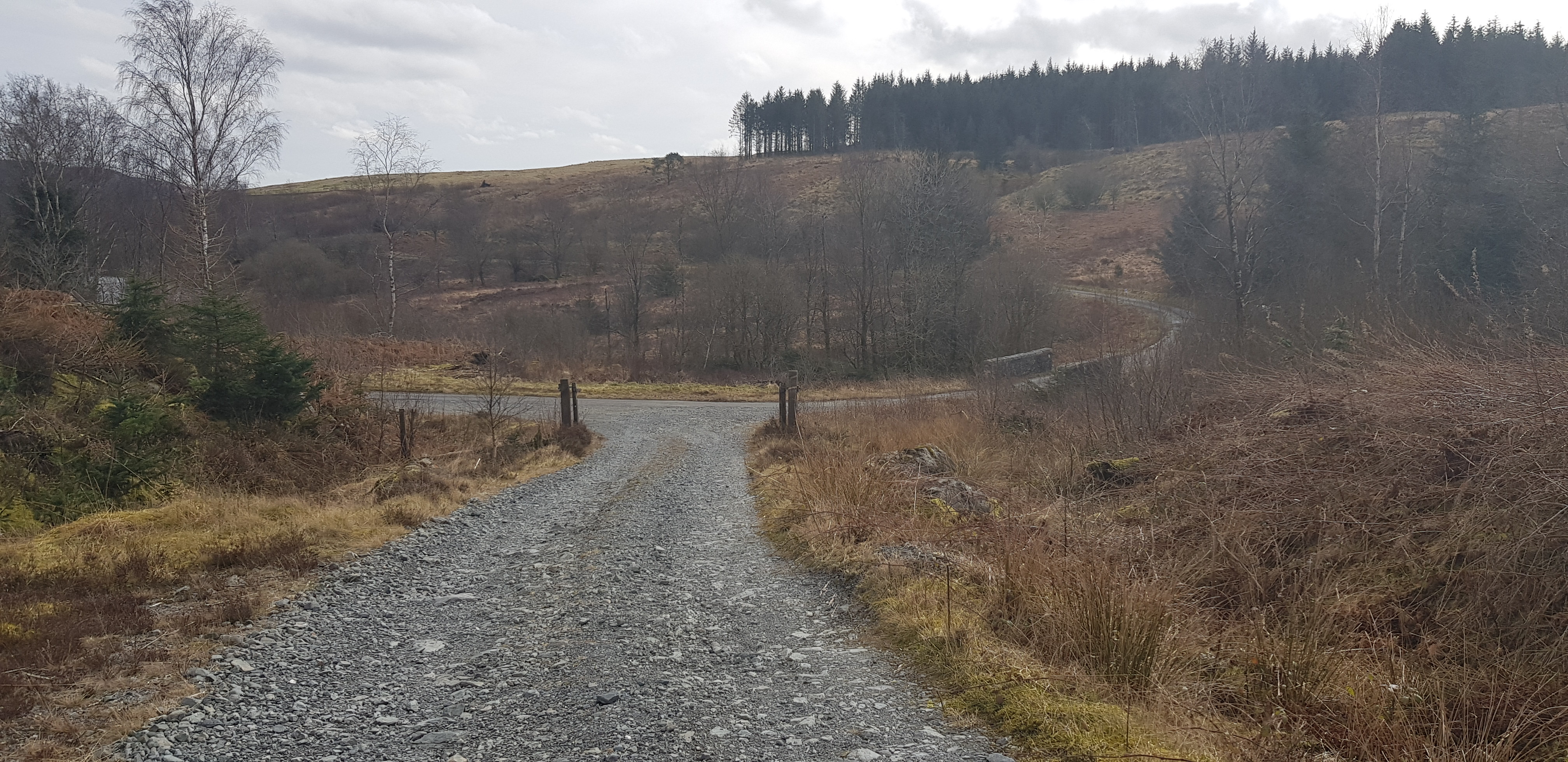
The way ahead, with the ridge containing the summit in the distance
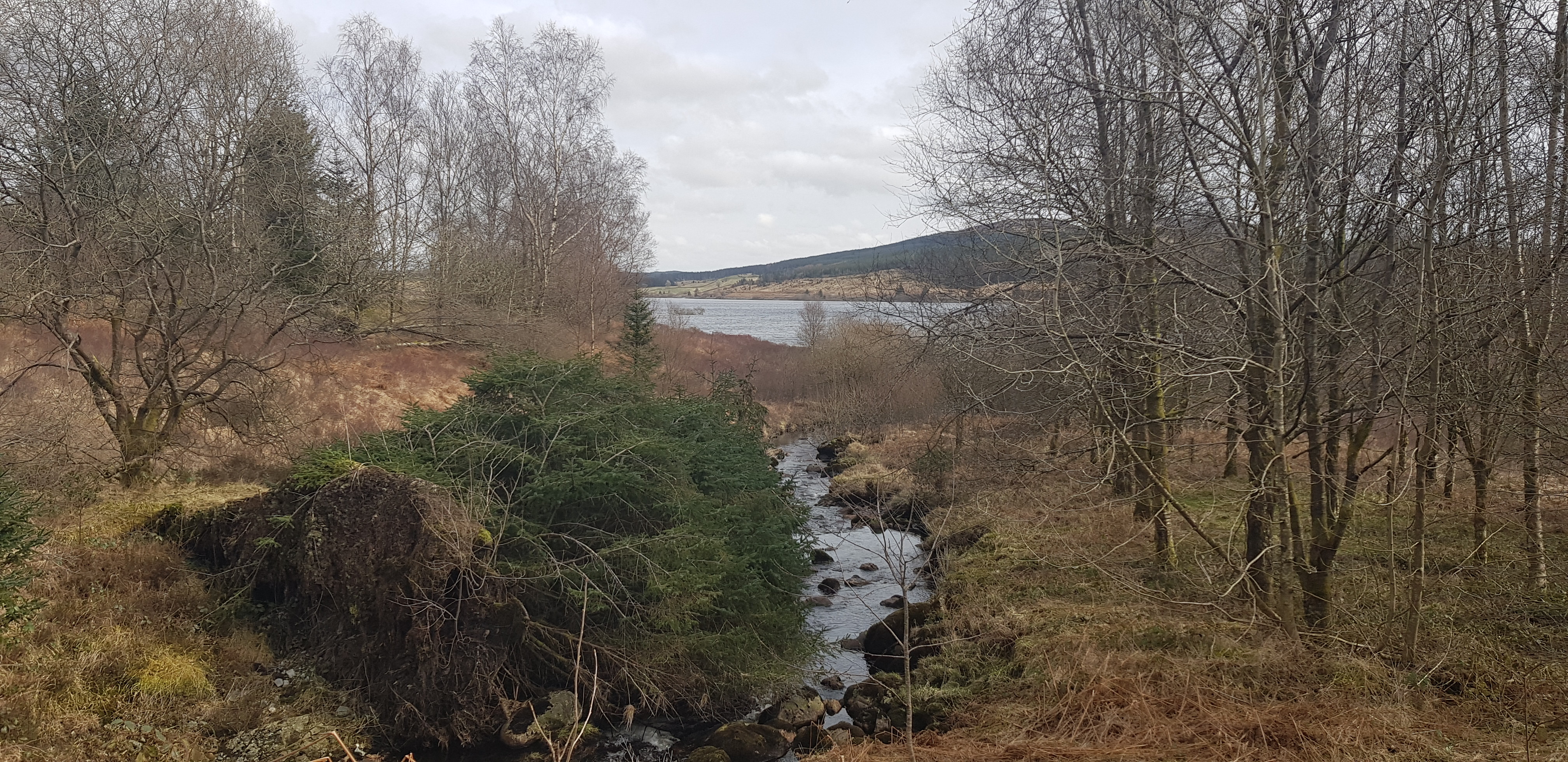
Looking back at Clatteringshaw Loch

Huge area, could even be a car park. For those with a bike you could save a few minutes by bringing it

They don't have to travel far to get the stuff to make the track

The way ahead, not long before I depart and head off piste

Locked gate to negotiate

Time to leave the track, the ground looks like other walkers have been that way, not keen on descending at this time

The way ahead and there is a path albeit faint

Looking back I was heading WSW running parallel to the ridge

Looking back, the path was to the left of the trees

The way ahead, sooner or later I will have to turn right and go uphill

Here we go, time to start going up

Views opening up, the little loch that can be seen is Lillies Loch

Lillies loch and the end of the track is visible, I would be aiming for the clearing on my way down

Lillies loch and the firebreak is very clear

The way I am heading

Looking west and shows the angle of ascent

Cracking view now
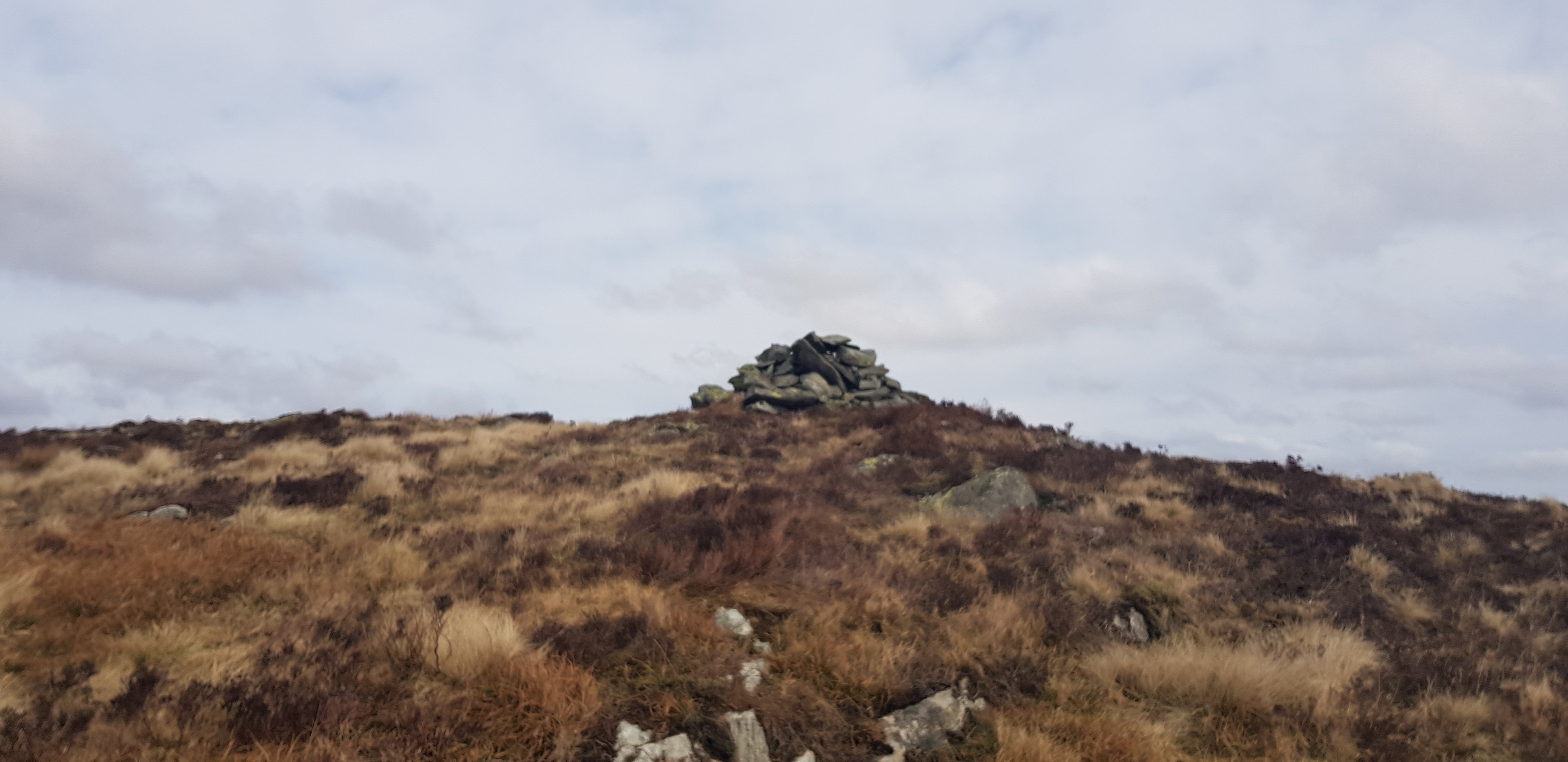
A cairn on the summit area, I wondered east trying to ascertain if it really was the highest spot. My altimetre couldn't find a higher spot
Video taken on the summit area of Craignell

Looking across the ridge to the cairn - does it look higher?
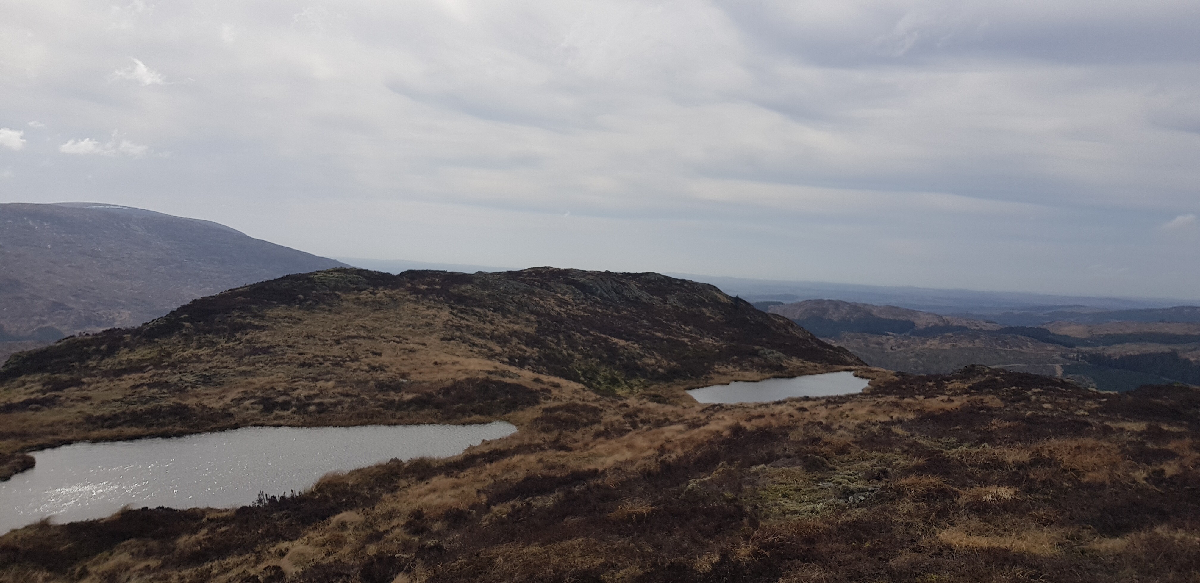
A couple of small lochans on the summit ridge

I opted for the direct descent route, not my best idea as it got a bit tricky lower down

Looking back uphill to what I struggled down

Still got a bit of battle before I reach the better terrain

Looking back uphill
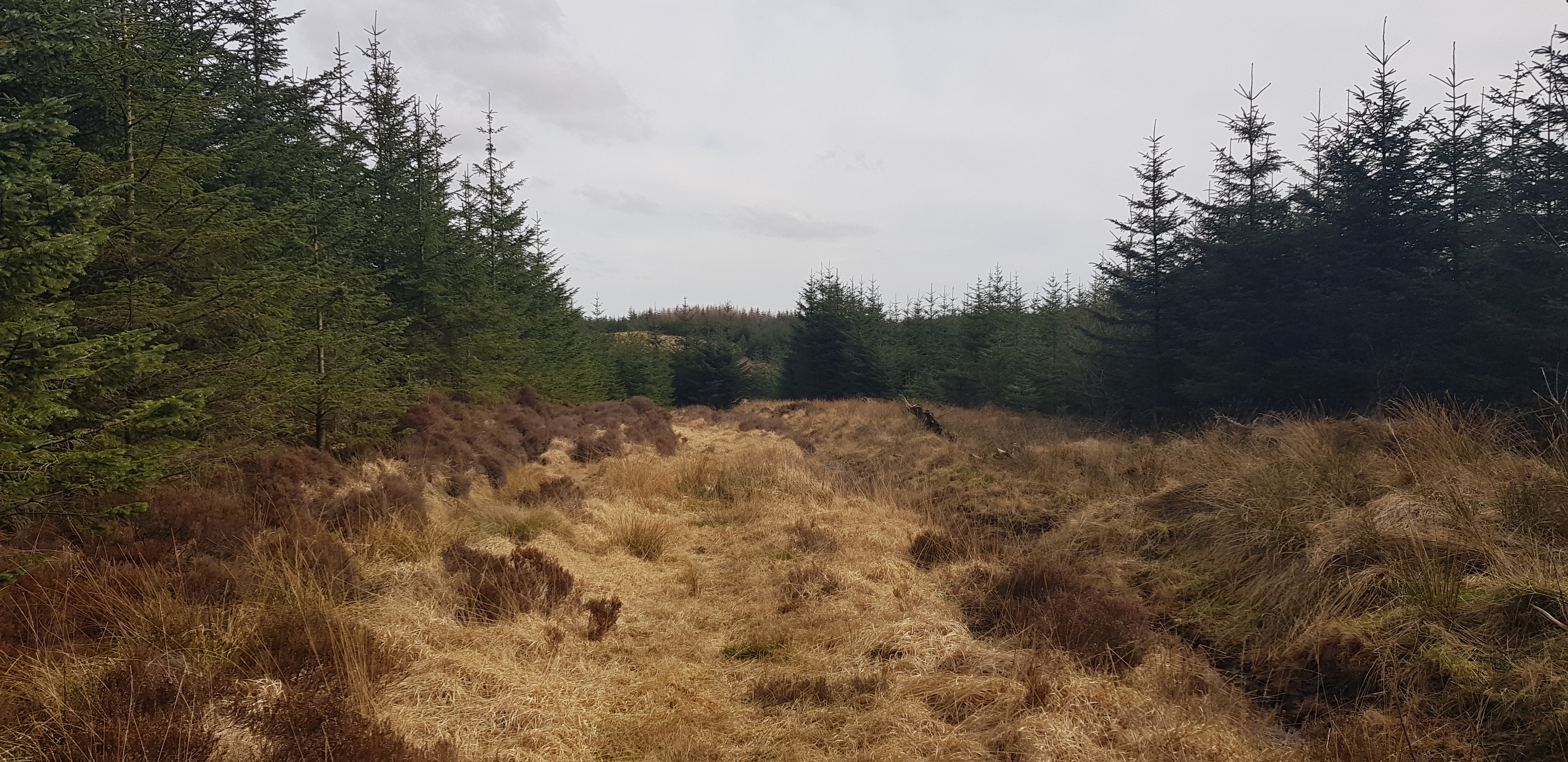
Reached the clearing now
Not far to the main track now

Plenty of future work?

Plenty of rotting timber, seems a terrible waste
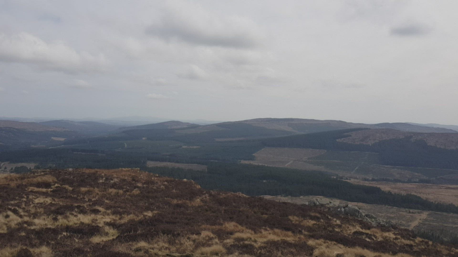
Looking across to Cairnsmore, the hill behind the mast
I was back the car much earlier than I had anticipated so I made an executive decision which wasn't a good one. I would try and tackle Cairnsmore from the north, I had my route plotted on my phone and as the walk is only a total of 4km it shouldn't be that difficult - WRONG. Here are a few pictures of my attempt.

Nice large parking area, I wonder why there are no other vehicles parked

The rest of the layby with the A712 in the background

Looks OK at the moment, but the way ahead looks too familiar and not very friendly

Someone else must have been here before me, interesting bridge

Still doable
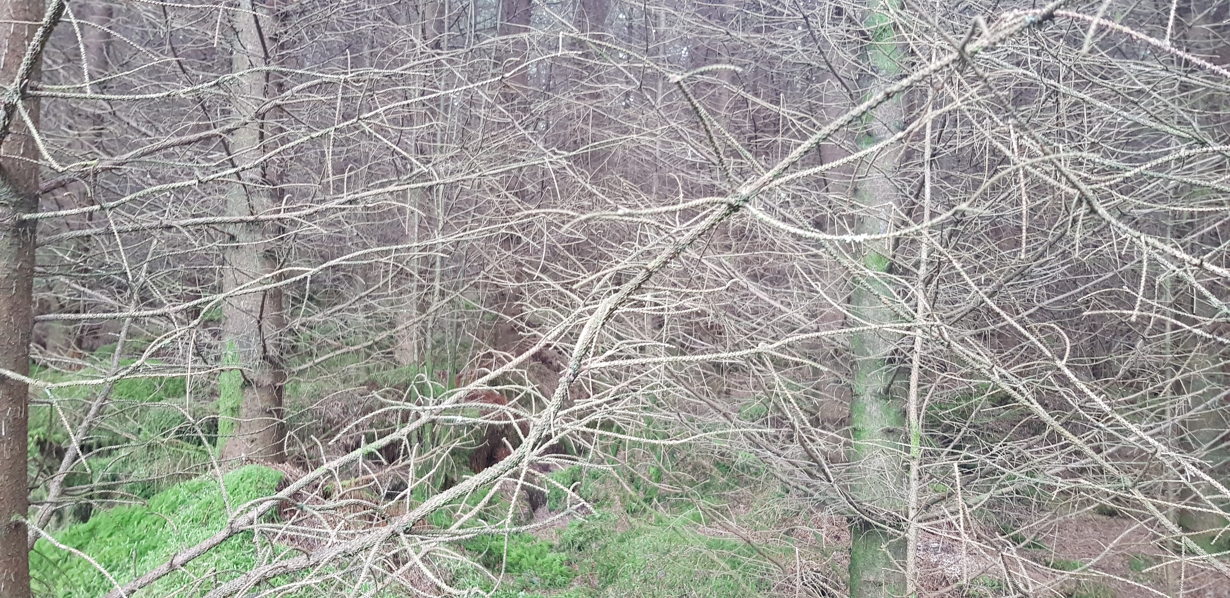
Hmmmm, the way ahead, now the going gets tough

Yes I battled through that, but it doesn't look like improving
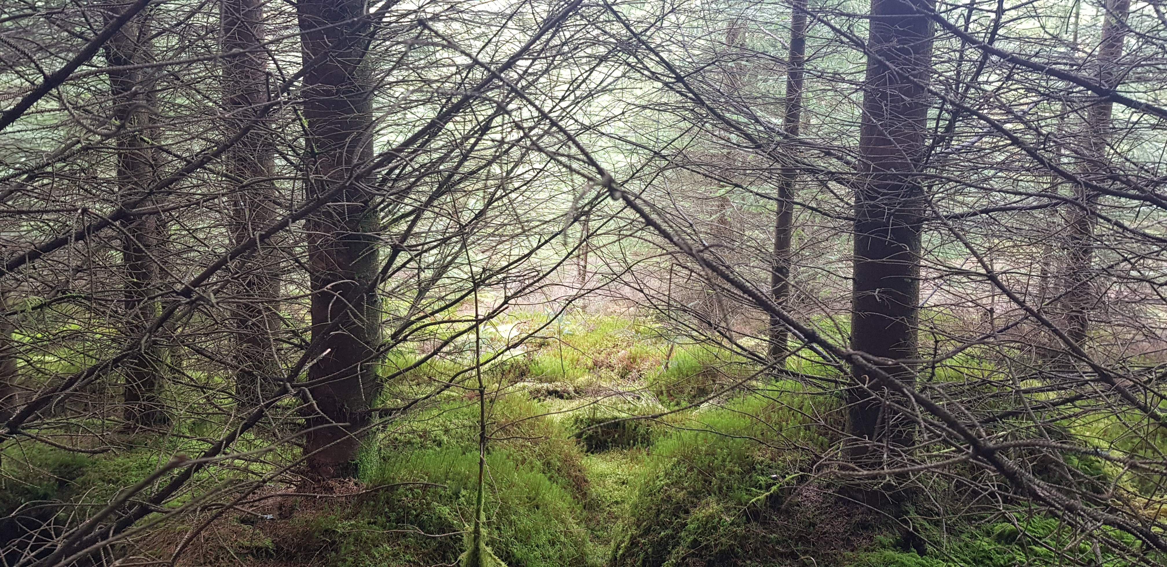
It had already taken me about 20mins to do about 400m and that's when I decided to go back to my car. Not only was I being attacked by branches, twigs and other dangling bits, the underfoot conditions were awful too - soft spongy soggy stuff or tussocks
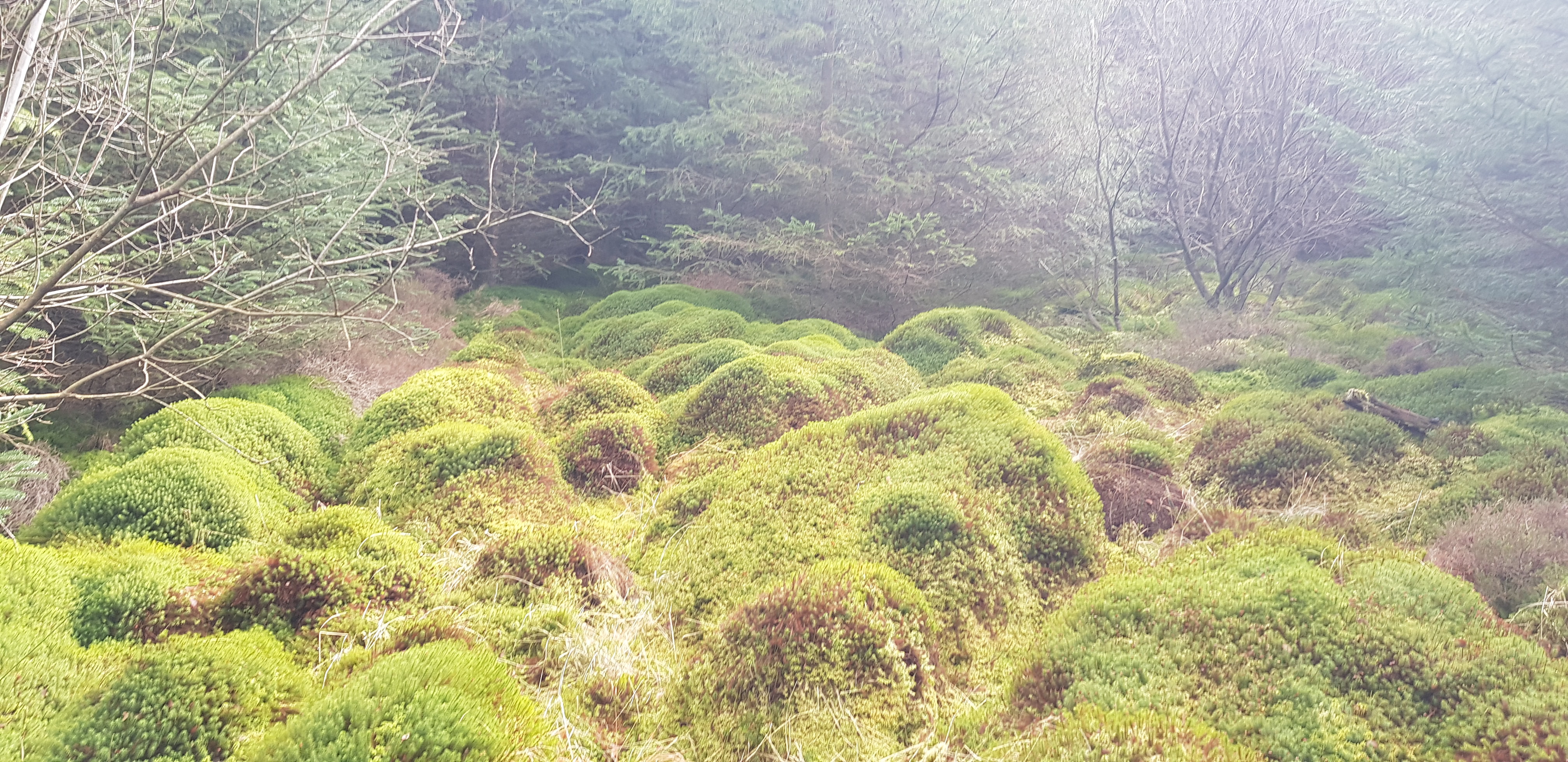
How inviting does this look, not very I can assure you
Cairnsmore isn't going anywhere and will still be there after the latest worldwide crisis is over, I will definitely have to plan a different route.
Yet another cracking day and I am glad I took the opportunity when I did as Covid 19 is now really starting to impact on every bit of our lives and who knows for how long. When I eventually get round to tackling Cairnsmore I will have climbed all the hills south of the Central Belt. One thing I won't miss is the Dumfries & Galloway roads, even the "A" class roads hardly have any straight bits, so you can imagine what the minor roads are like.
Stay safe everyone and let's all do as we are told by the 'experts'. The latest instruction regarding the great outdoors is stay local, so that is what I will be doing.
