free to be able to rate and comment on reports (as well as access 1:25000 mapping).
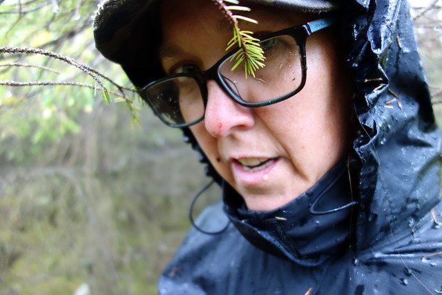
Rain! After all these weeks of good weather this was a bit of a surprise today. Had to wear a waterproof and everything!
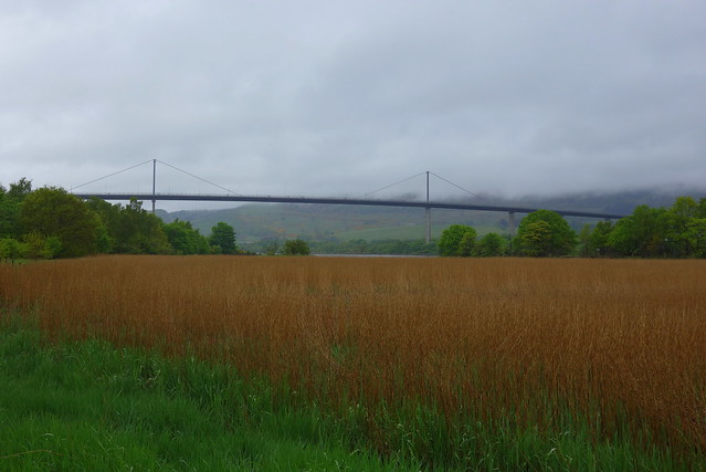
First challenge of the day was the mighty 56m Craigend Hill at Erskine, which I decided we'd access from Bishopton. The map suggested a path along the shores of the Clyde, although it appeared discontinuous, and with some trepidation we set off. Passing beside Bishopton Golf Course, looking very lush. There was indeed a path along the Clyde, with a signpost and everything. Some curious flotsam along the high water line - various balls, assorted plastic furniture and the menu board from outside a pub. As we neared the Erskine Bridge the quality of the path improved into a proper track.
 DSC03637
 by
Al, on Flickr
 DSC03638
 by
Al, on Flickr
 DSC03640
 by
Al, on Flickr
Under the bridge - slender concrete columns holding the construction aloft. Fields of reeds. Difficult, in places, to imagine just how close one is to Glasgow - at least before the big crane and highrises come into view. Stopped for a bite to eat in a green space before heading up across the busy road, past the supermarket and towards Craigend Hill. There is a waymarked route for the hill - clearly one of the high spots of life in Erskine

We passed a man with an umbrella coming down, who laughed about the way the rain had removed most of the people from the paths today.
 DSC03641
 by
Al, on Flickr
 DSC03642
 by
Al, on Flickr
 DSC03643
 by
Al, on Flickr
 DSC03644
 by
Al, on Flickr
 DSC03645
 by
Al, on Flickr
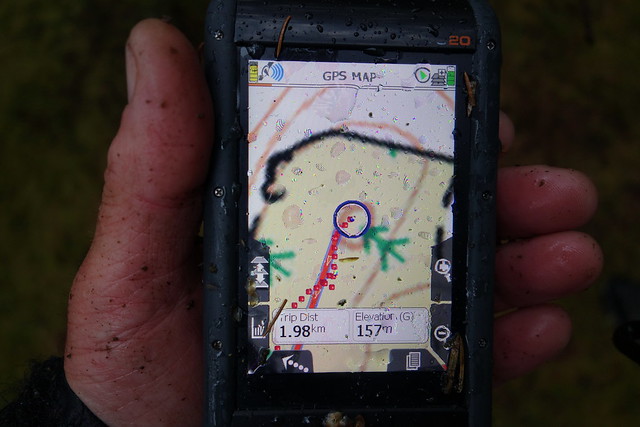
The hill is surmounted by a reservoir, to which access is denied by an impressive fence. However there is apparently a trig column. I checked the reports on HillBagging - yes, there was one somewhere...we made a second circuit of the reservoir and found it hiding in bushes.
 DSC03646
 by
Al, on Flickr
 DSC03647
 by
Al, on Flickr
We walked through a housing estate and back onto the Old Greenock Road, which brought us back to our starting point.
From here we headed to Kilmacolm for Barlogon Hill, one I'd been putting off as it involved some Sitka Thrashing to reach the summit...
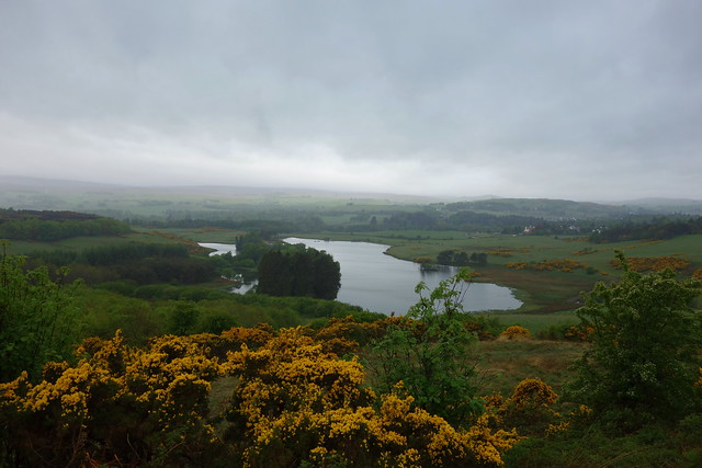
From Knapps Loch we followed paths heading round the east of the loch through woodlands. Pretty despite the wet weather. Then we had to leave the path, cross a barbed fence and head into a plantation. Initially this wasn't too troubling, but trying to reach the highest ring contour, we were faced with fierce opposition from branch and root. "All this for a TuMP" cries Allison. We nearly abandoned the search, as we'd made no progress towards our goal in what seemed like half an hour. Then we found a relatively easier way and reached the (unmarked) top. Bleeding and bruised, we retraced our steps as well as we were able, returning to the path and following round the west side of Knapps Loch. Soaked from our battle with the trees, bloodied but unbowed we had managed it

 DSC03649
 by
Al, on Flickr
 DSC03650
 by
Al, on Flickr
 DSC03651
 by
Al, on Flickr
 DSC03652
 by
Al, on Flickr
