free to be able to rate and comment on reports (as well as access 1:25000 mapping).
Loose lockdown still in force so we were staying local, so where to go? Munro's still off the agenda so I thought why not try something a bit more adventurous. Donald's, I thought about the Ochil's but opted for the Moorfoot Hills just east of Penicuik. Neither George or Parminder had been up the Moorfoot's so let's go there. Checked to see when I last visited and it was 5 years ago in December so definitely different conditions.
I arranged for us to 'accidentally' meet at Straiton Park & Ride at 9am and as usual we were all early and we then set off via Auchendinny.
As we turned up the single track tarmac road to the parking area things didn't look promising.

Turning up the unclassified road, you are welcomed by this sign

In disbelief we carried on to find this
Then this, so where to park was the next problem. 3 point turn for me & George and a 5 point turn for the big Beemer
After turning round we discussed what we should do now, find other hills or a safe suitable space to park our cars. We opted for the latter, this involved driving back to the main road, George then turned left and after about 800m spotted a layby which was ideal and could take at least 4 vehicles.

George was a star as he found a layby with ample space for 3 cars

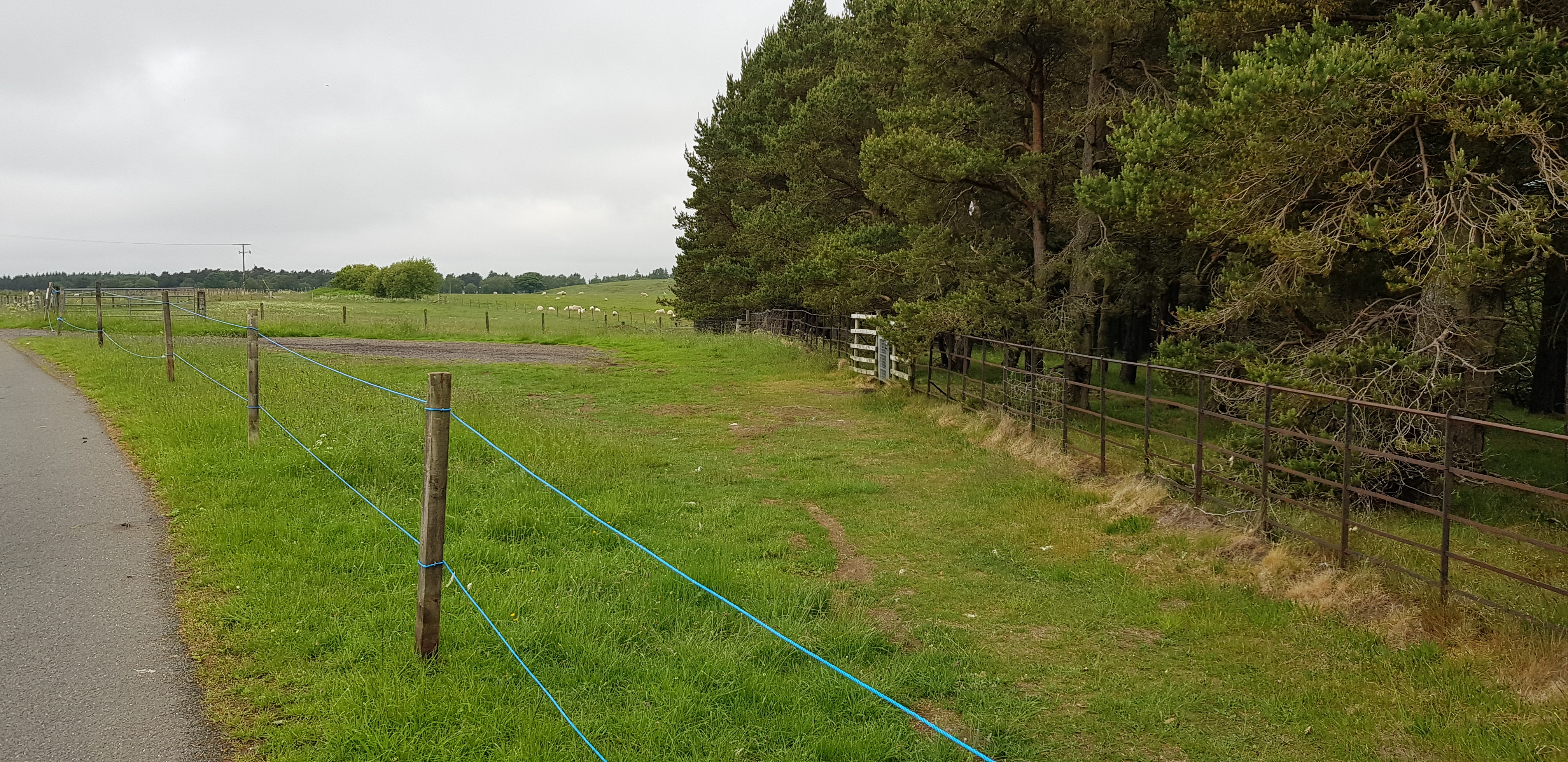
Further along the road not far from the few houses we came across this sign

And another sign

Not looking too clever ahead, but it wasn't going to put us off

Dundriech on the right well hidden, we are turning left soon after the wee house
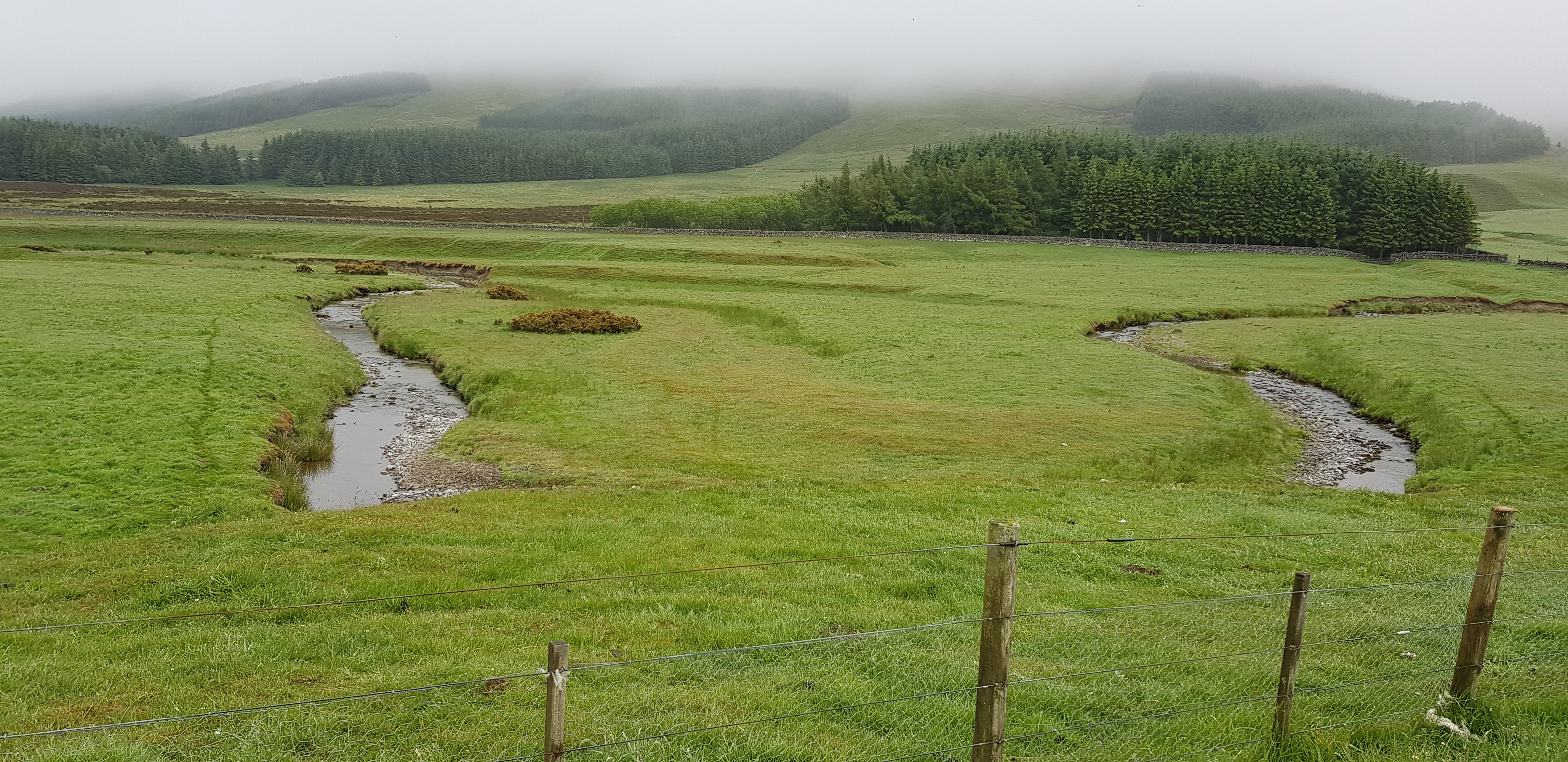
Very bendy burn

The ruin

From closer up

Looking down on Gladhouse Reservoir through the murk
The initial climb up from the glen was as we expected - a struggle, our lack of fitness was very evident, looking on the bright side we knew once we reached the top of the slope the majority of the ascending would be done.
Just past the ruin there is a barbed wire fence to negotiate and this turned out to be trickier than usual. I was first to climb over, it was a struggle but I ended up on the other side injury free. Next was George, the initial bit went well but his foot slipped and he became kind of impaled on the fence, Parminder & I helped him over after unhooking his trousers, George had also put his hand on the fence so had a couple of cuts there as well. Next and finally it was Parminder's turn, all went well initially and then he struggled to get his leg over so to speak - George and I helped him over but Parminder had also put his hand on the wire and in helping Parminder I caught the top of my wrist on the wire. What a bunch we are and we won't forget that fun in a hurry.

Entering the cloud soon

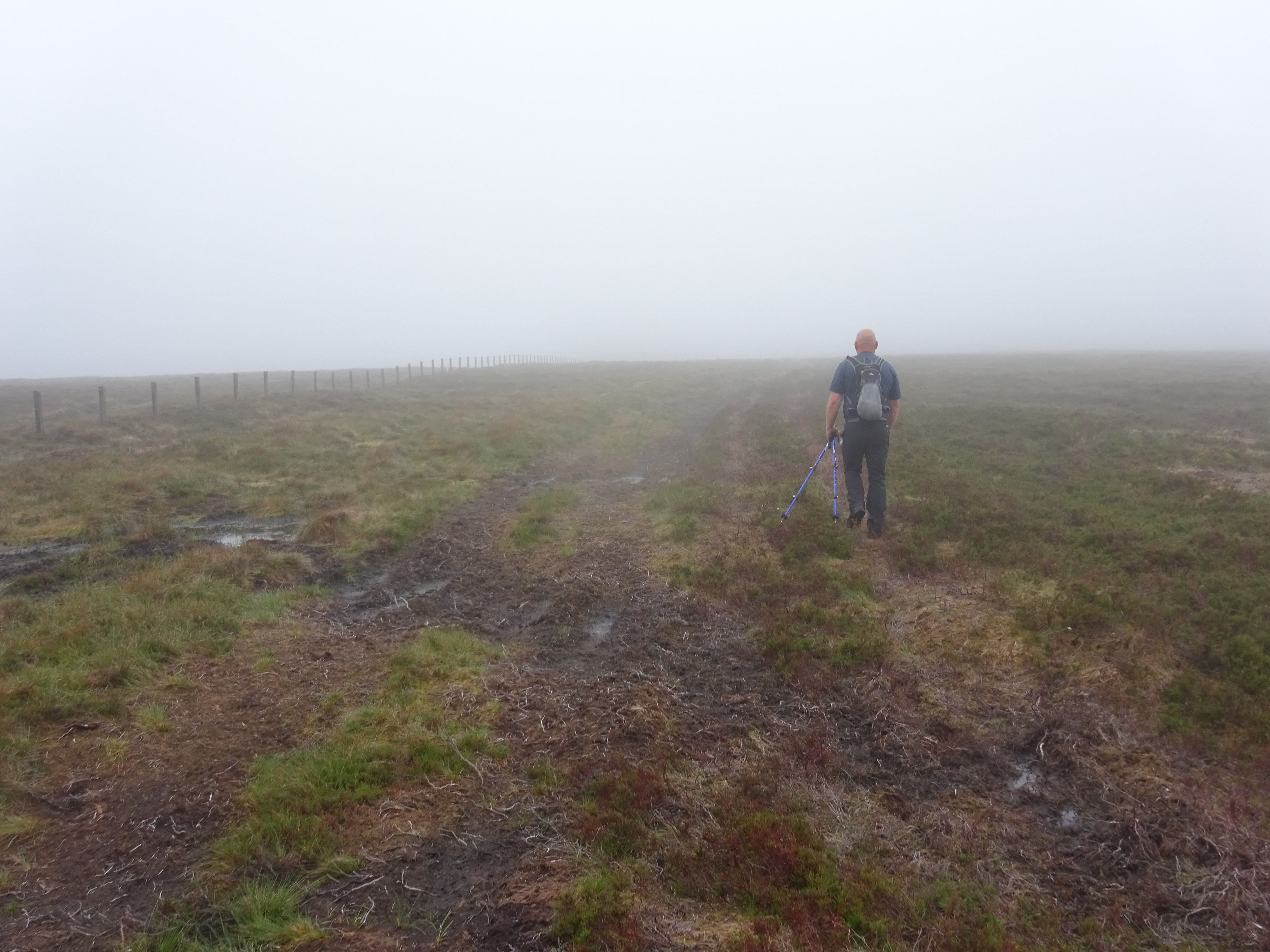
The route is fairly obvious and used for transporting the 'hunters' to the grouse butts a bit further up

One of many on the way to our first summit

And another

Nice easy walking but it wouldn't last

Feed for the wildlife
Mushy in places and will probably get much worse after a long spell of wetness

Summit trig on Blackhope Scar

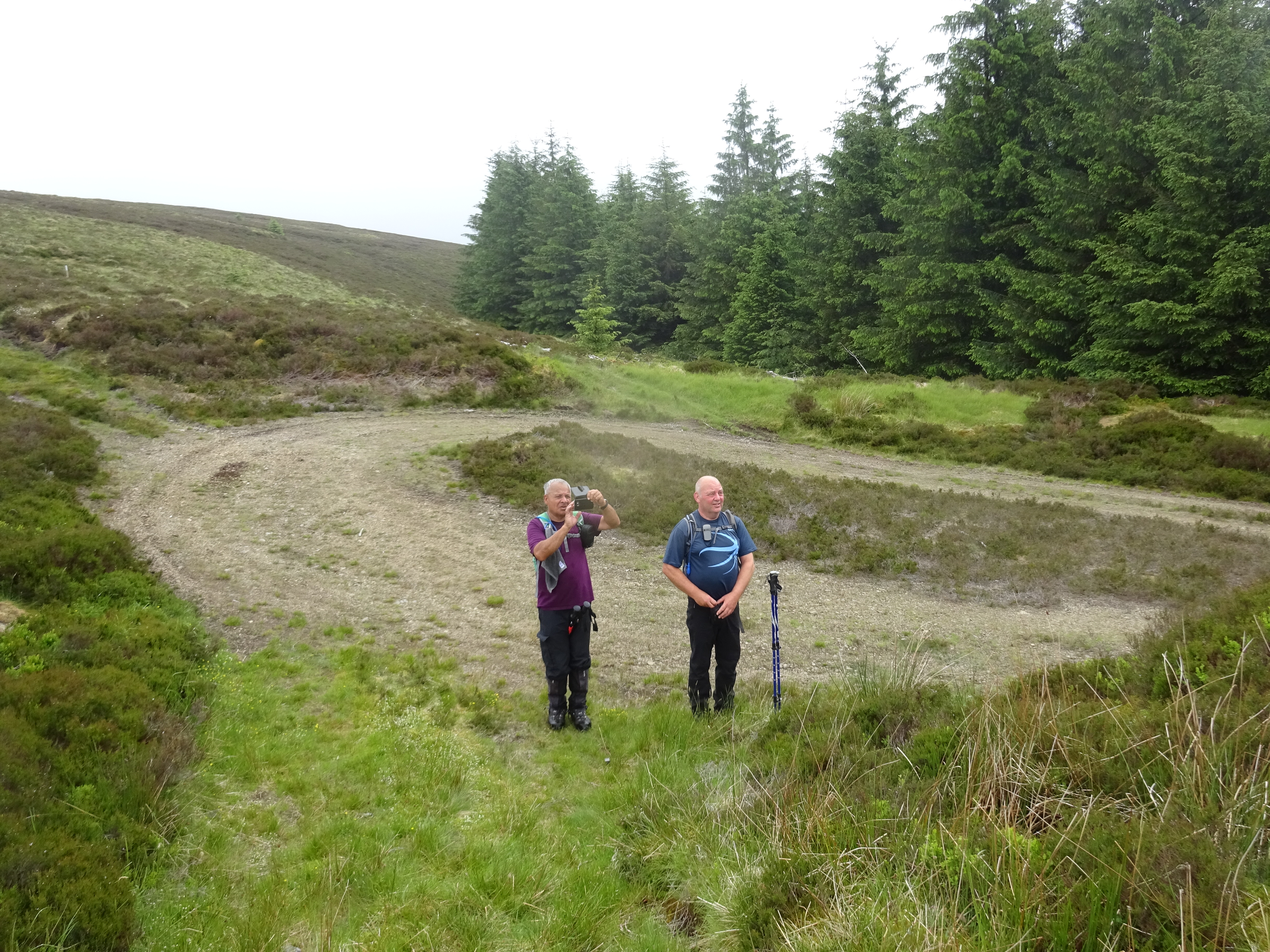
Parminder doing his teenager impression and not wanting his photo taken
Summit area rather mushy

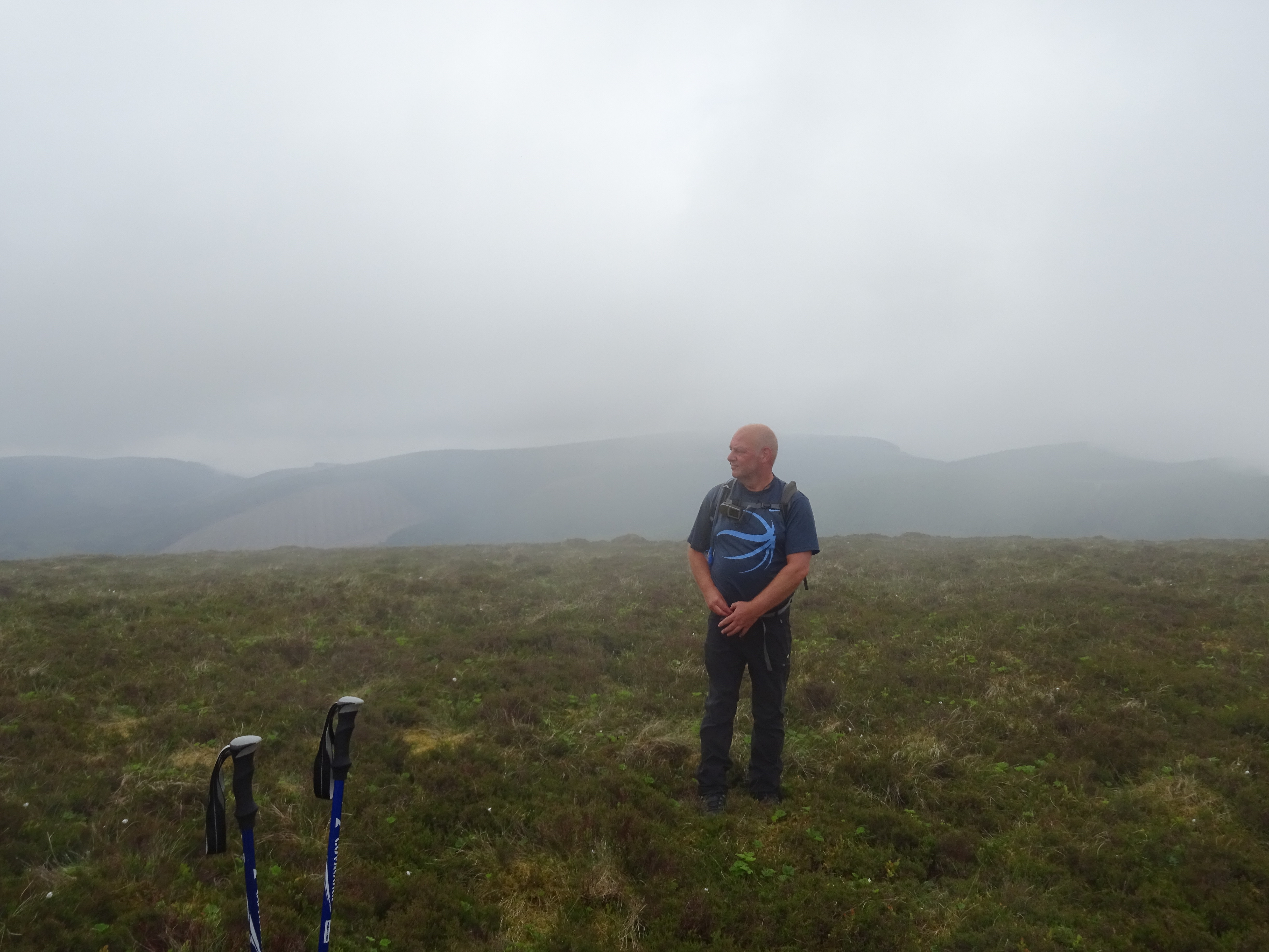
Another summit shot

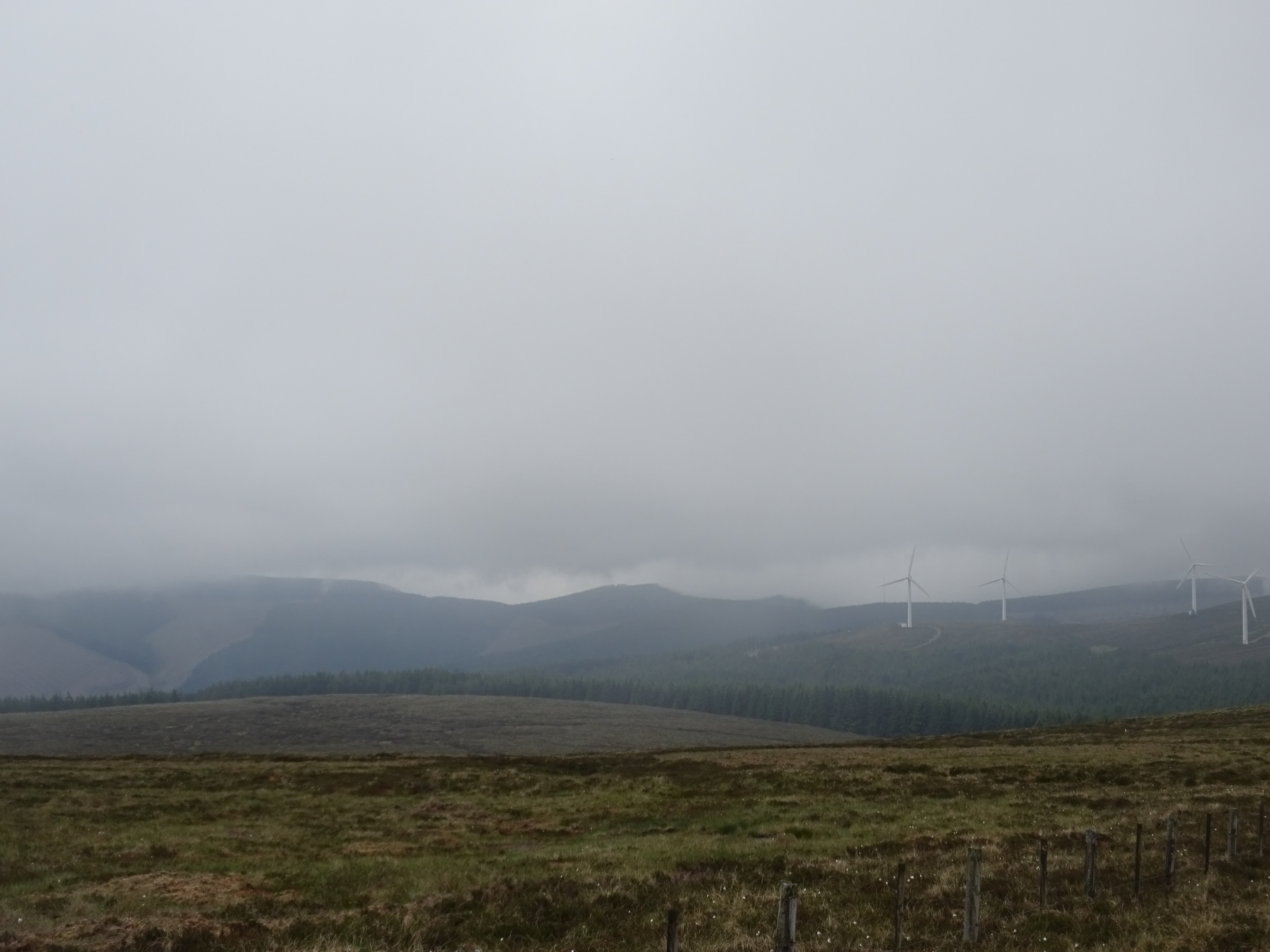
It was starting to brighten up a bit, descent then ascent to walk through the windfarm

Atmospheric shot with the cloud coming up the hillside from the right. Not one of the 20 odd turbines was moving
Looking southish
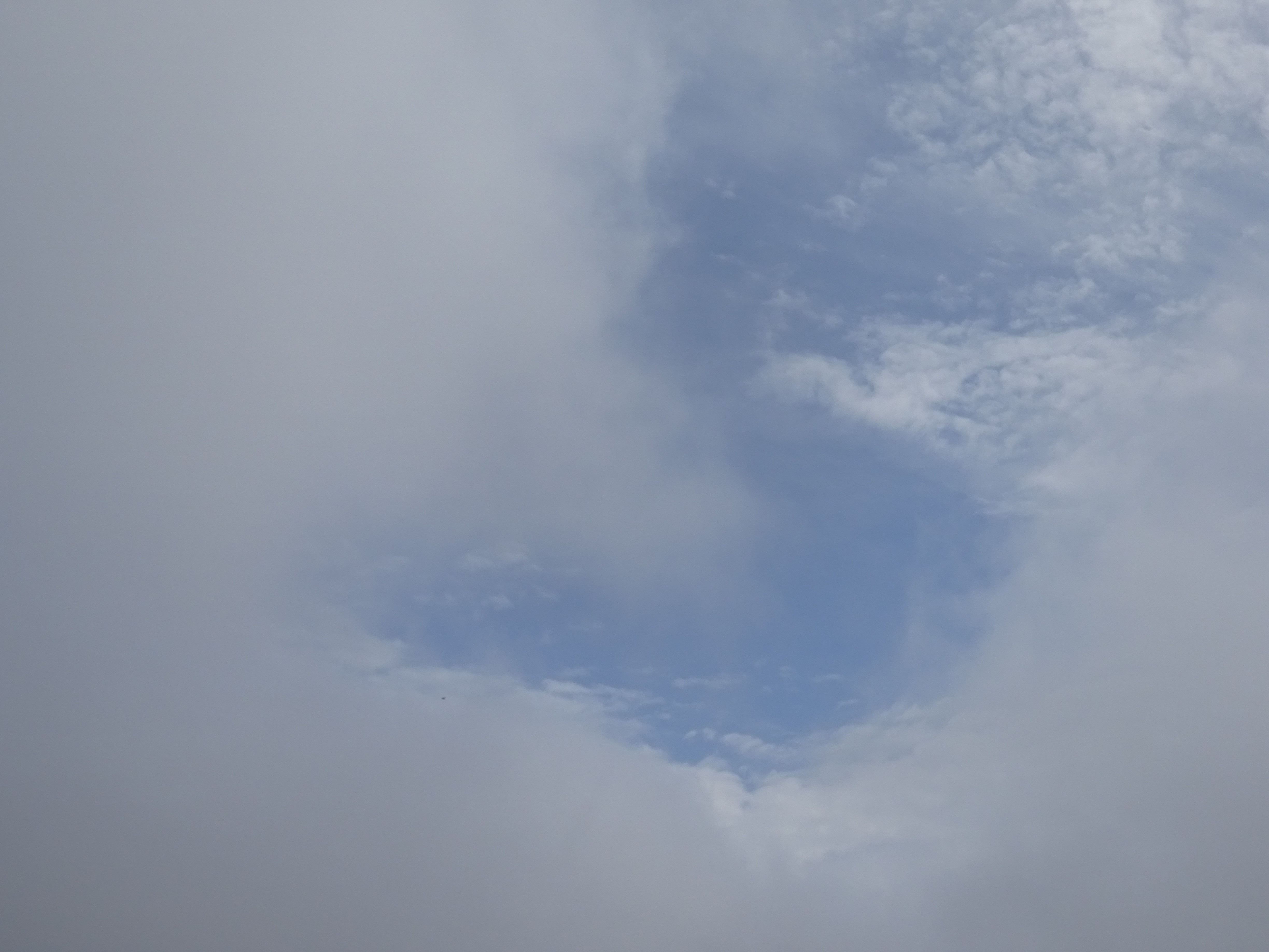
Just had to take a photo, was just about the only time we saw blue sky

Descent then ascent up what has been named steep hill

Southish again

We do like the occasional sign
The end of the forest track - nice turning circle

Looking back at where we had descended
The way ahead

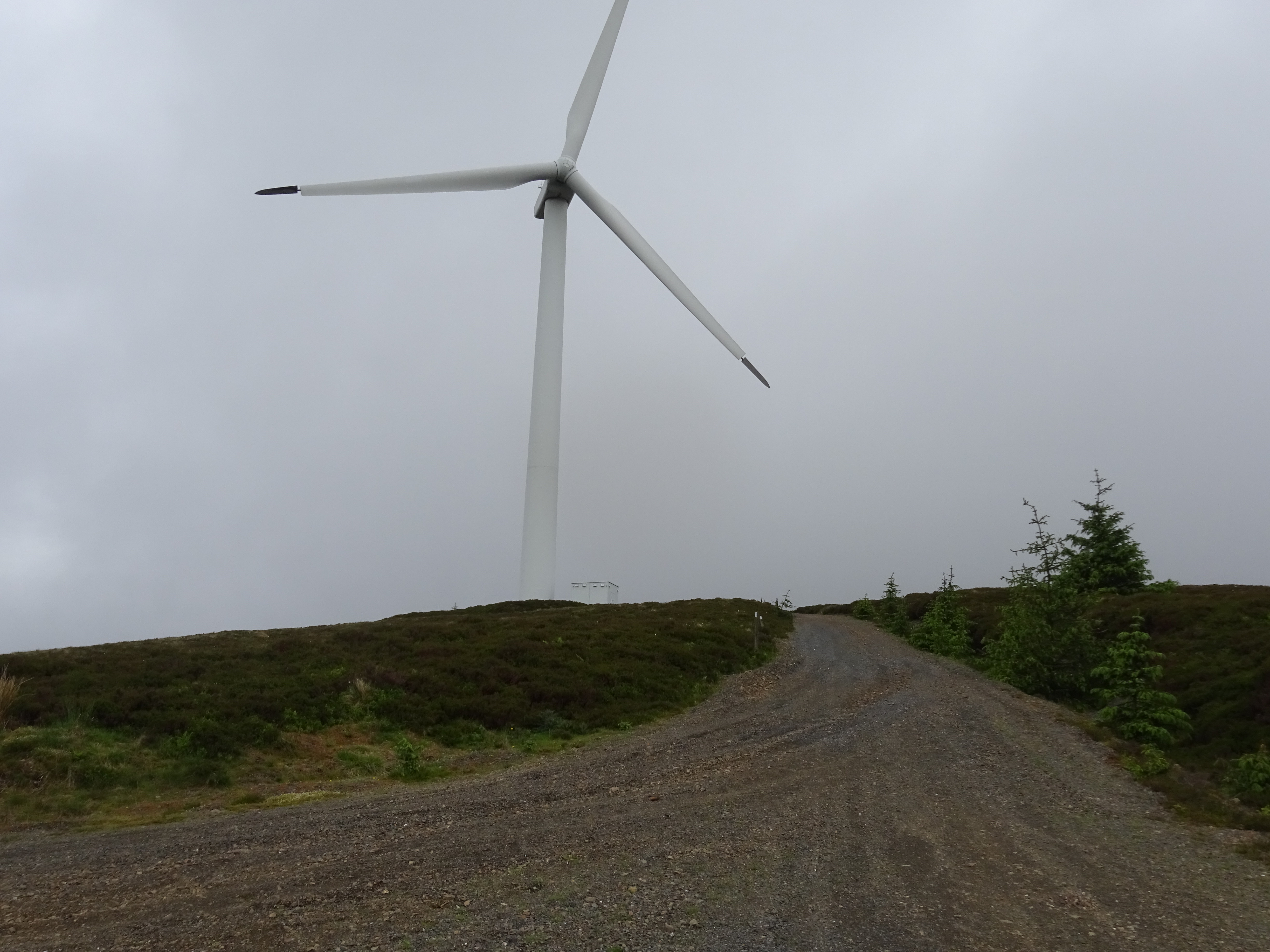
More turbines if anyone is interested

This was the summit area for Bowbeat Hill
Another summit area shot, no trig, cairn or even a tiny stone

Parminder going 'live' on Facebook, but then again maybe not

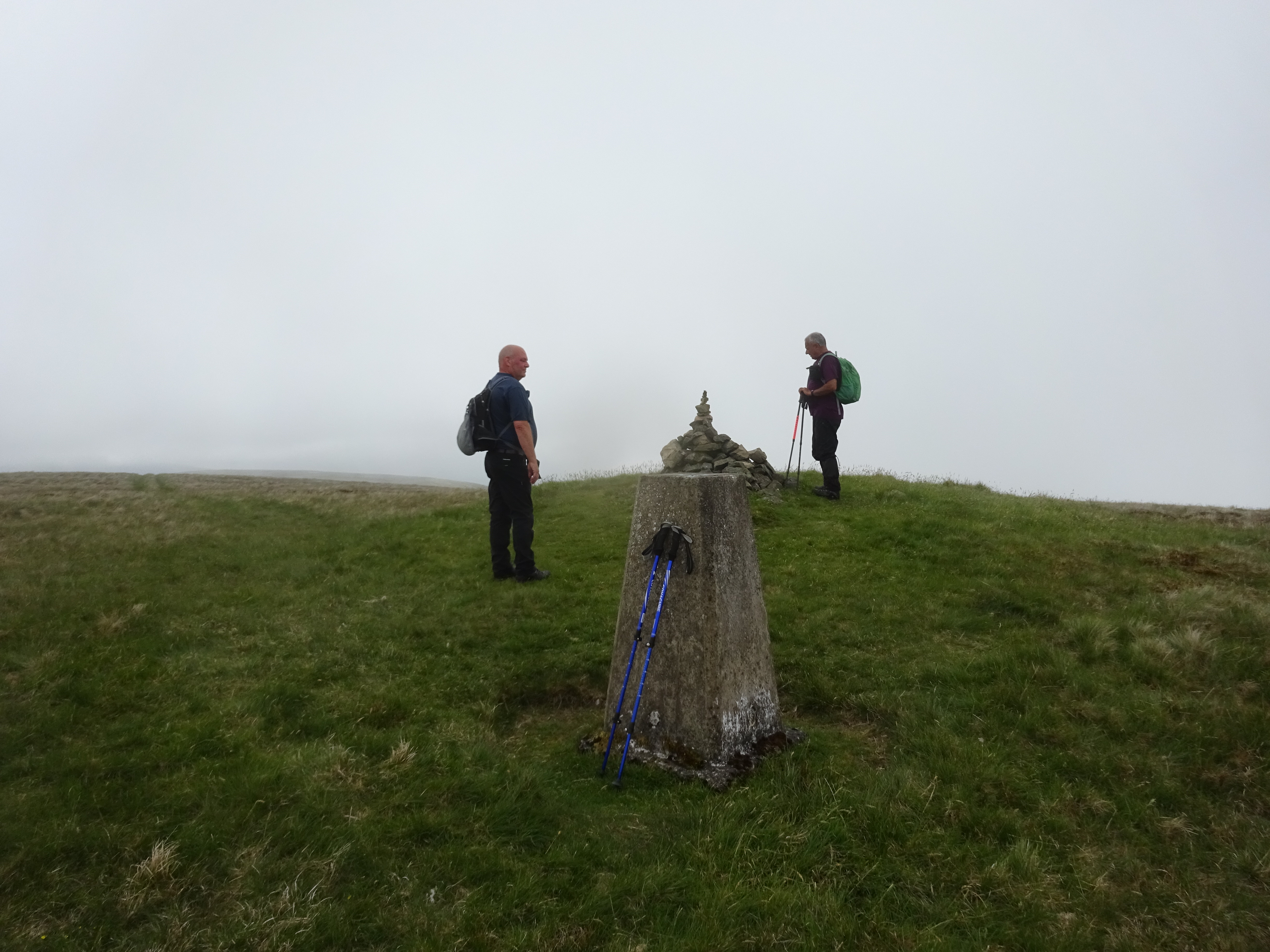
Trig and cairn on Dundriech
What a clever shot, pure fluke
Descending off Dundriech

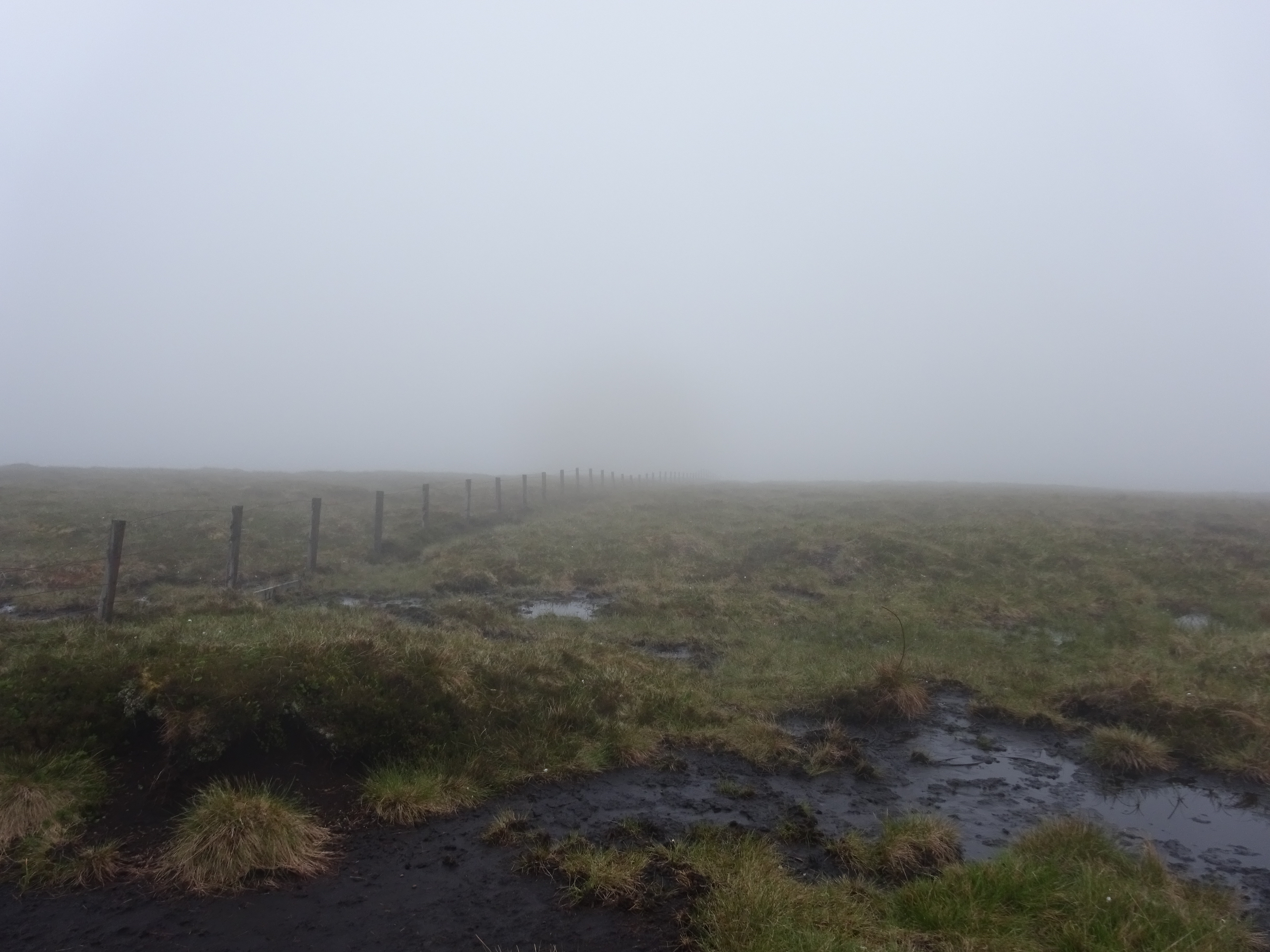
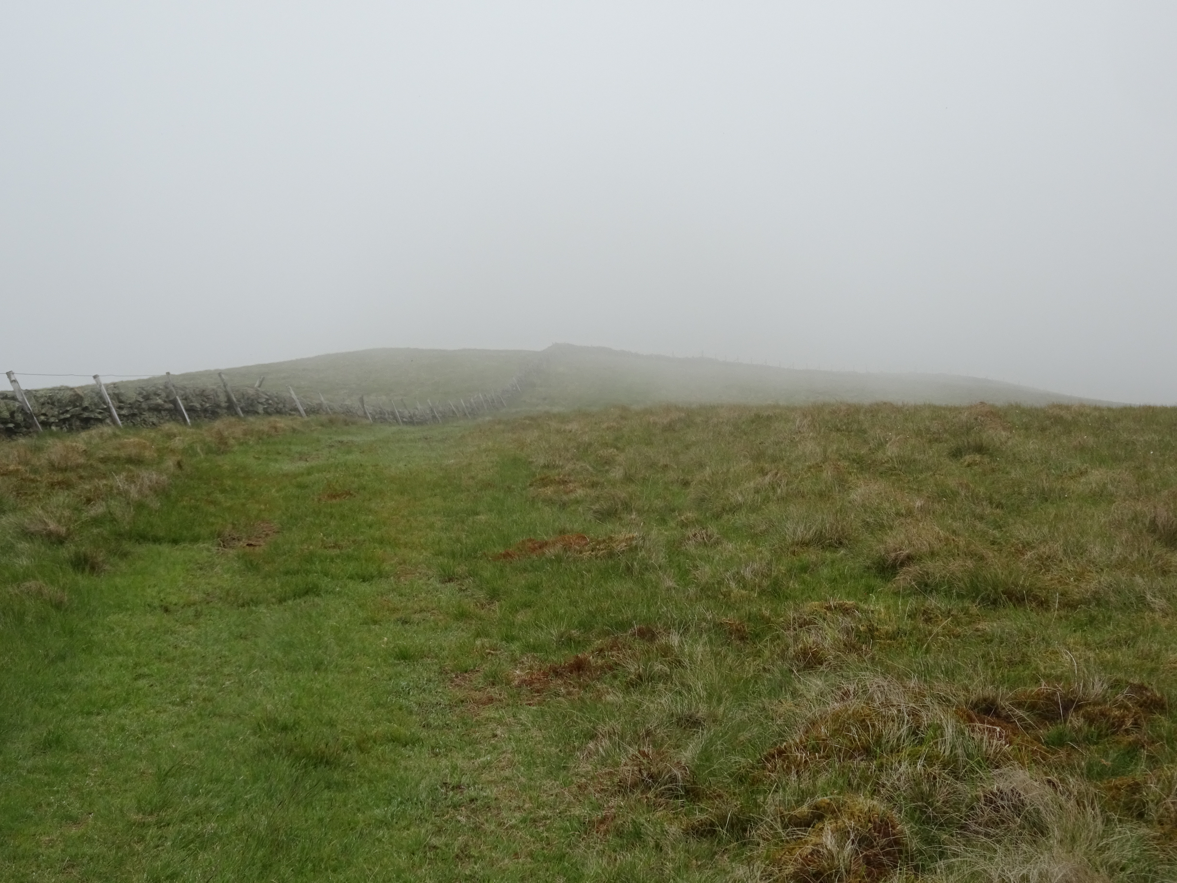
There were miles and miles of this type of fence with the wooden struts
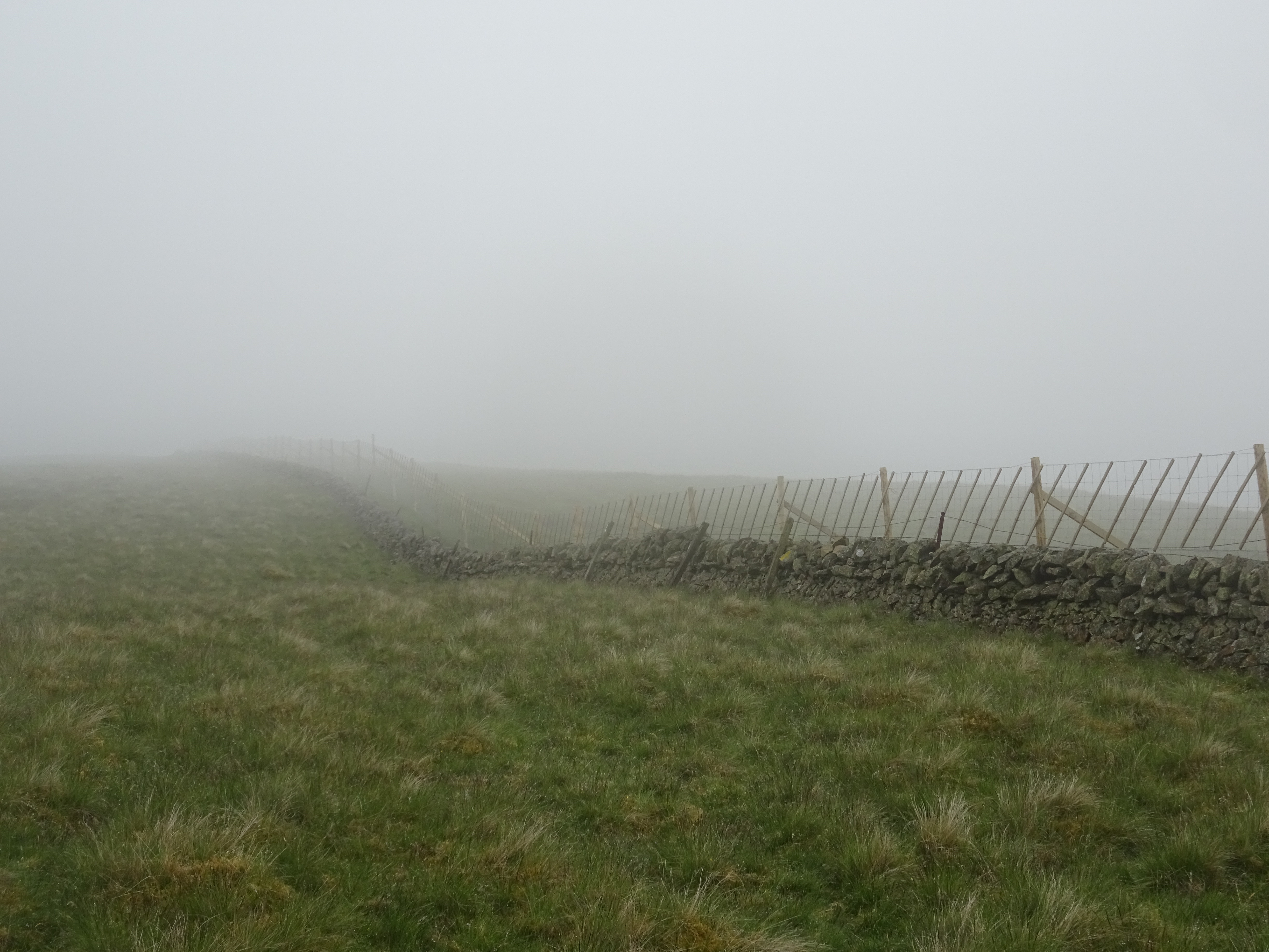
More fence shots
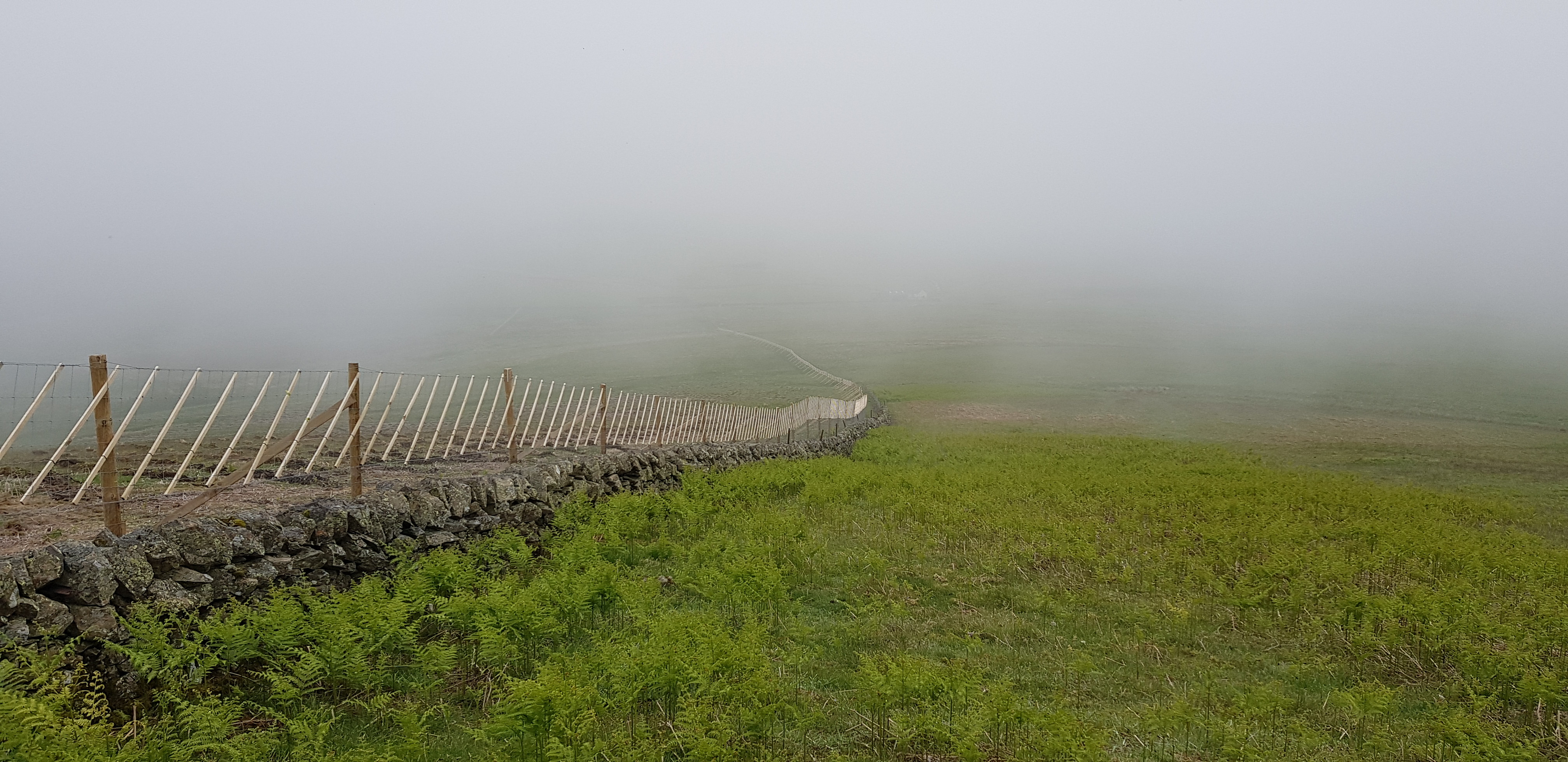
And more
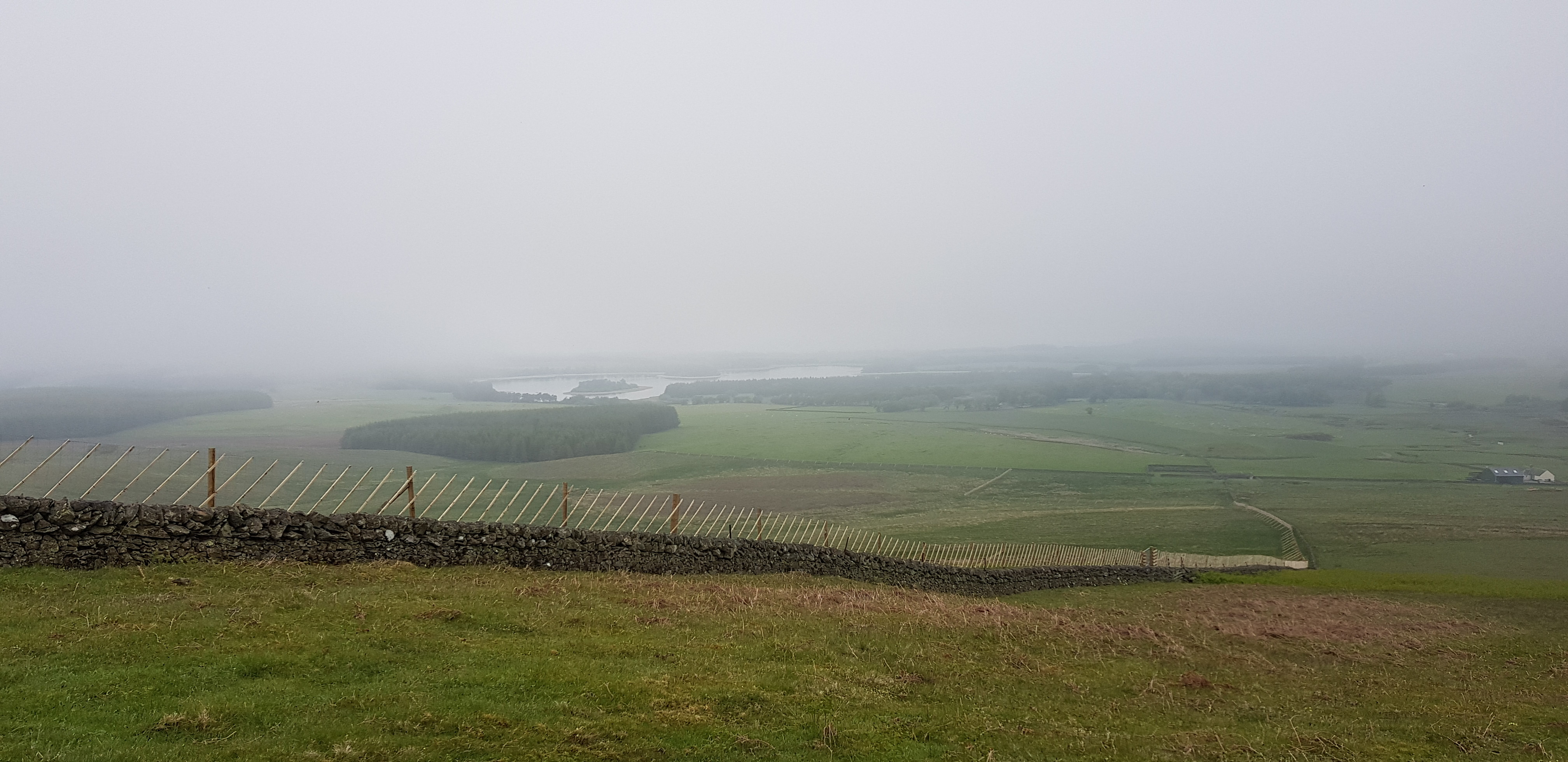
Out of the cloud now and Gladhouse Reservoir now in view
This turned out to another cracking day even if the weather wasn't ideal, at least it stayed dry. The extra 4km we had to walk will hopefully stand us in good stead. We are expecting a slight relaxation of the restrictions on Thursday but Munro's will still be off the agenda.
