free to be able to rate and comment on reports (as well as access 1:25000 mapping).
or Leave Your Mind Behind or Logg Hill and the Doors of Perception
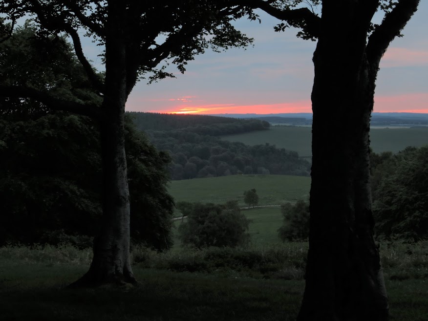
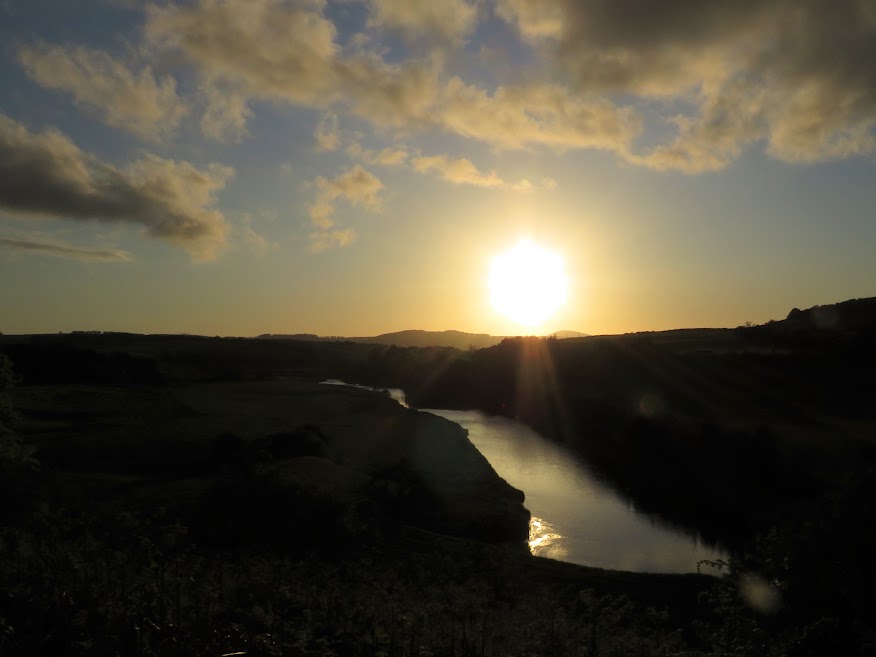
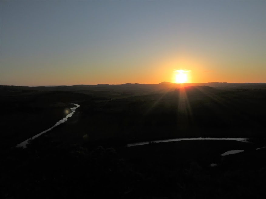
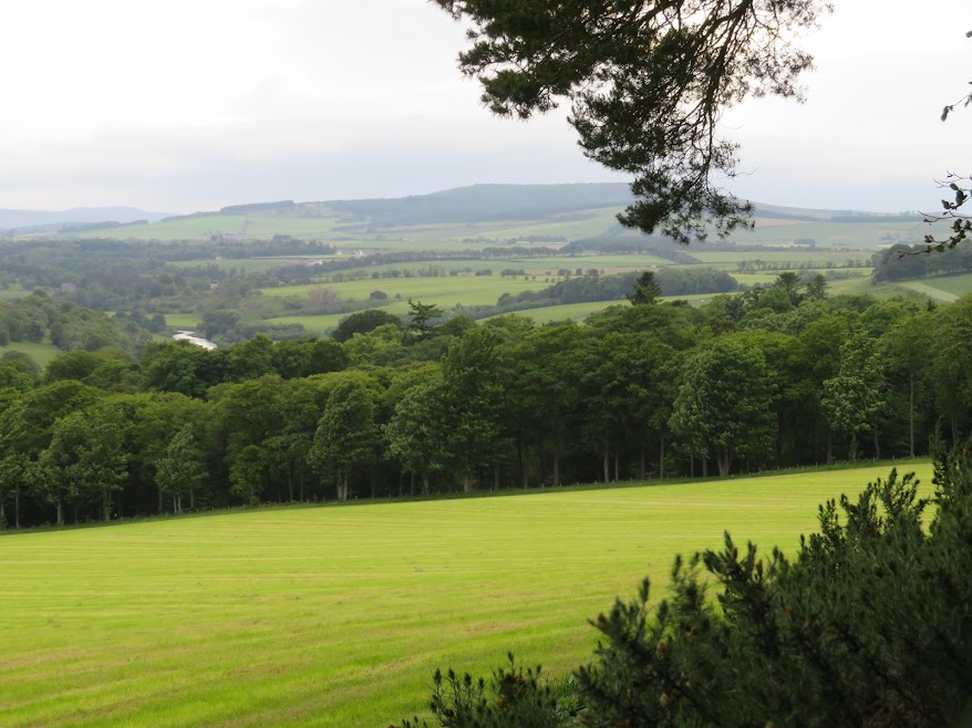
2nd June: Logg Hill at dawn and descent of the west face.
A bit late getting here so took the shorter route through the wood and, carefully, over the two barbed wire fences.

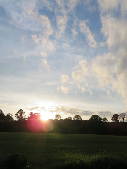
Dawn light over Turriff.


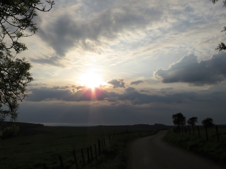
Sun trying to make an impression.


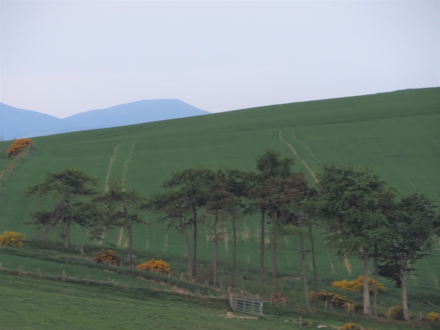
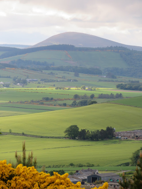
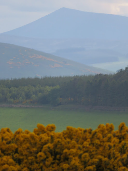
The Buck to the southwest.


Tap o' Noth.

Looking south.
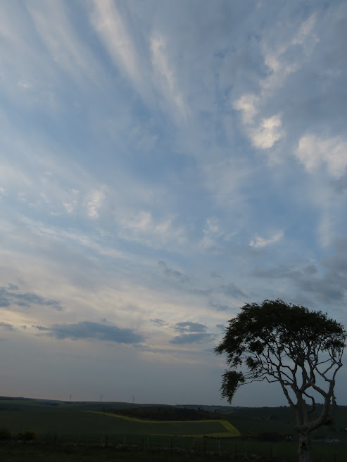

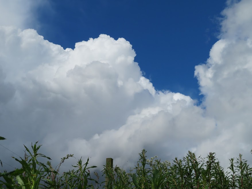
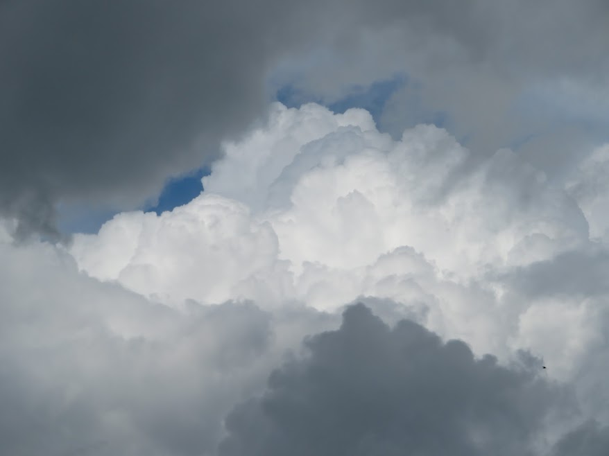
The sky above.


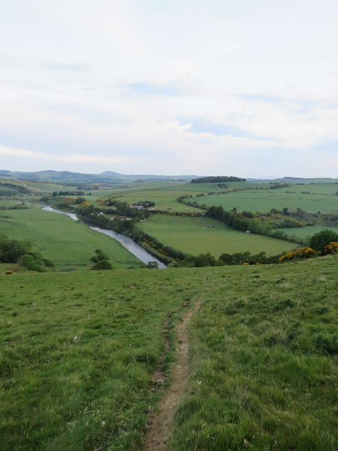
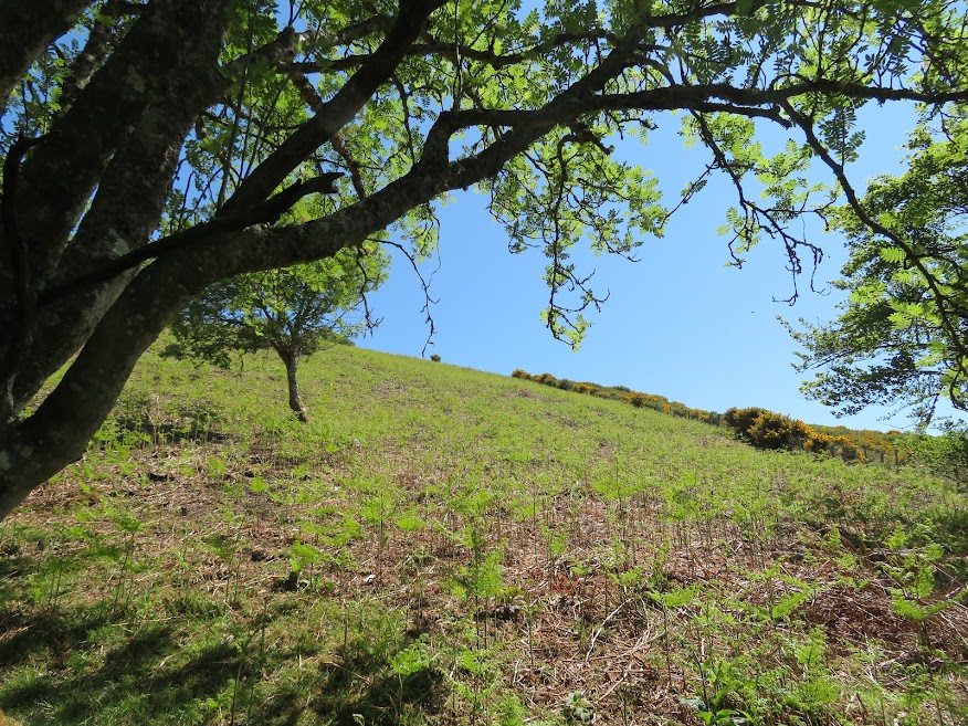
The sheep track I follow to try to make a loop walk. I had noticed what looked like a narrow path up through the trees at the roadside.


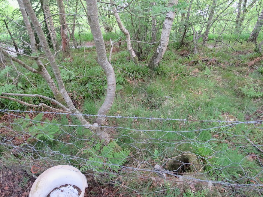
After a short stumble through the birch wood I got to a point where a narrow path on the other side of the fence appeared and the fence was low enough to step across.


Zoom to Fourman Hill which I cannot go to yet.


Fourman Hill again.

This gate could be the starting point for a longer walk taking in a track thorugh the bottom of the woods.


Knock Hill and a brief spell of sunshine.


Logg Wood.
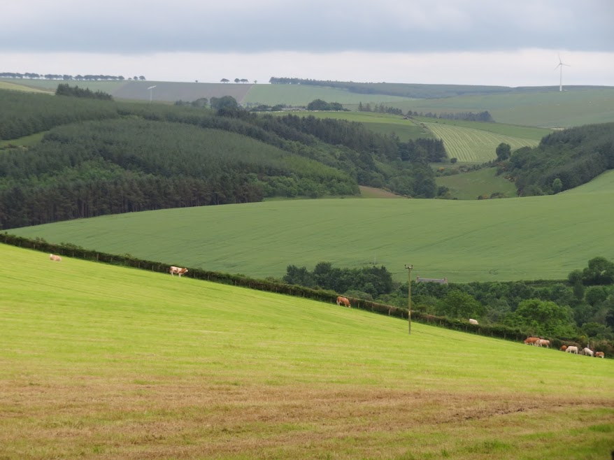
June 4th: South Balnoon.
Fourman Hill from the approach road.

South Balnoon on the right. At least, signposted as South Balnoon but on the map it is labelled Drumblair Wood.
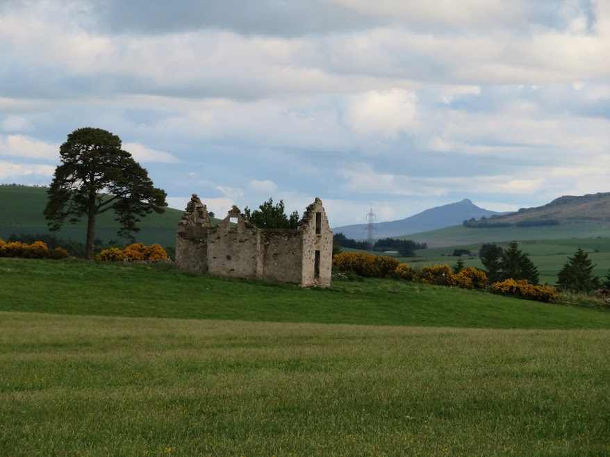
View of ruin on the way to the top.

View of Ben Rinnes.

Not sure many folk will visit this bench. The way I went necessitated going through a hole cut into the deer fence. Maybe there is another way to get here.

Fourman Hill again.

Knock Hill.

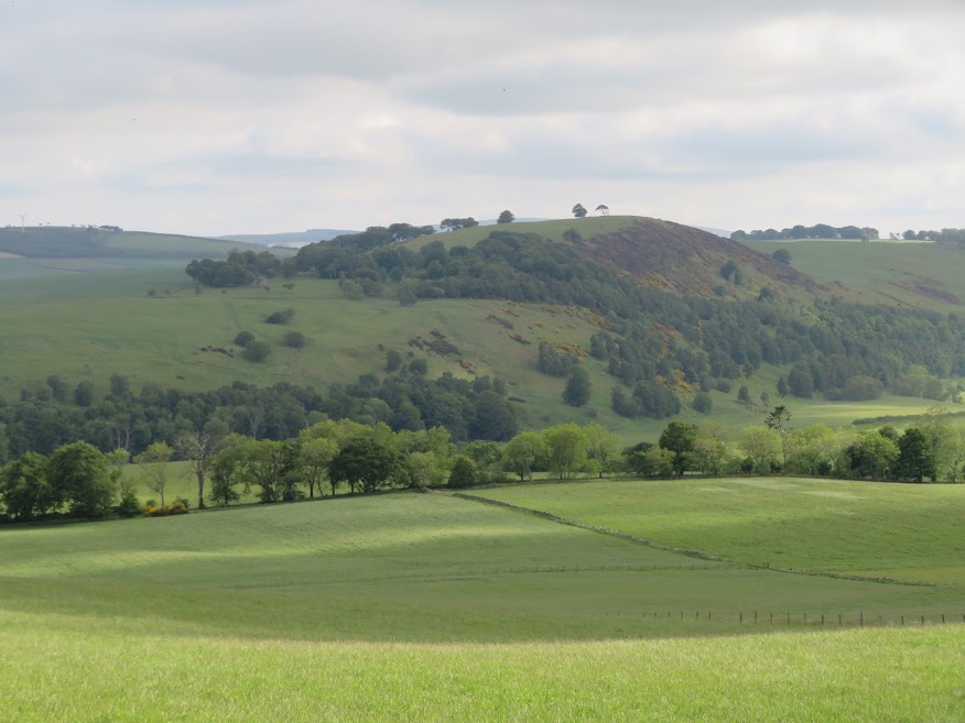
Striking view (I think!) of Tap o' Noth and The Buck.


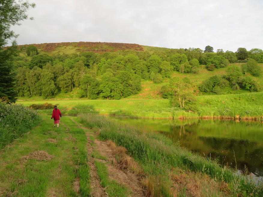
 June 6th: Logg Hill via floodplain track.
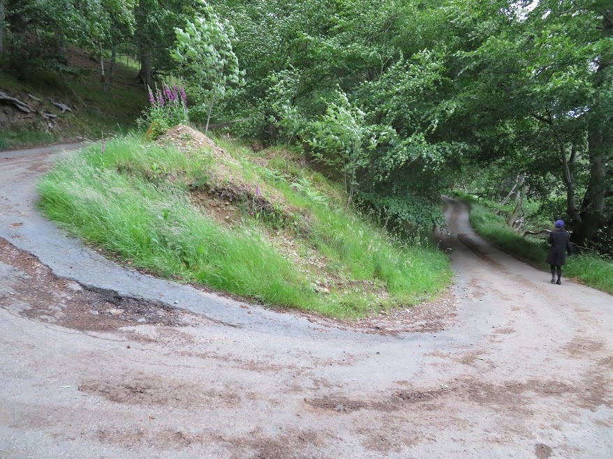
I was supposed to take the left fork here. Not sure if I just preferred the look of the right fork or if I hadn't registered the left fork, despite photographing it.

Down beside the river there is a deer -not too many in Aberdeenshire I think but do see them occasionally.


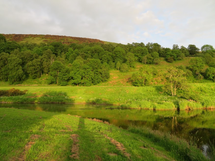
Turns out to be very pleasant walking between the woods and the river though I had originally intended to just be walking through the woods.


All very pleasant until I realised I'd dropped my camera case but it only took fifteen minutes to find it again.

Eventually I have to cut south and through the woods so I get a short glimpse of my intended route.

The woods track I had originally planned to take.
Over a fence/gate and along the road a wee bit before cutting into the woods at the foot of Logg Hill. Then over another fence at a low point and onto a sheep track.
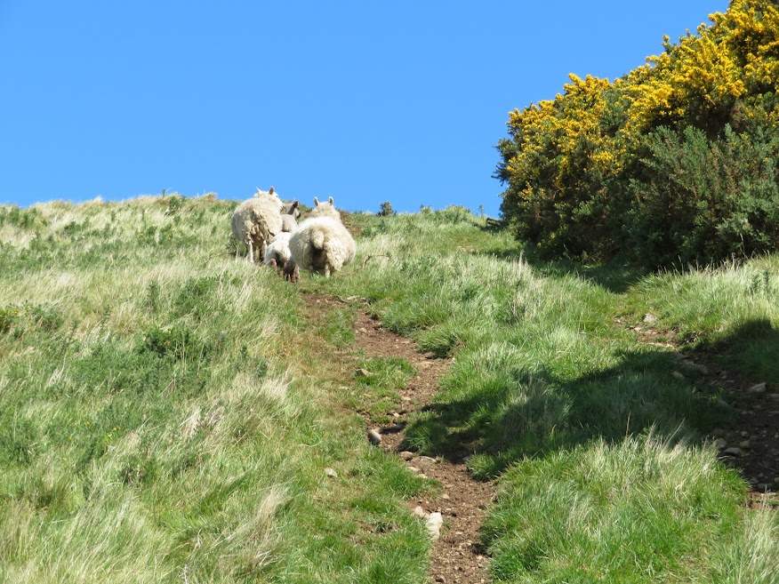
Sheep leading the way.

Tap o' Noth and The Buck.

Sheep on the move.


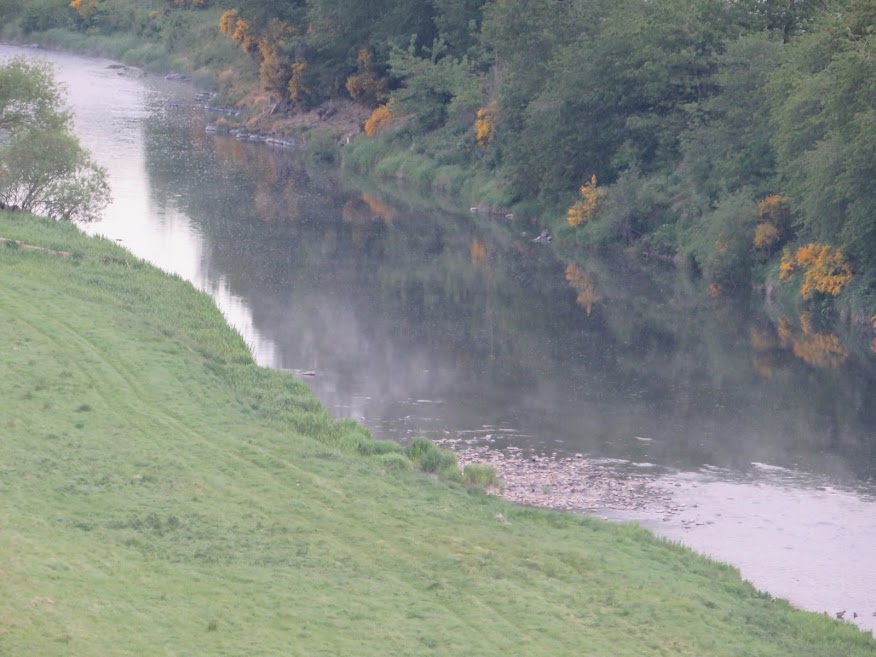
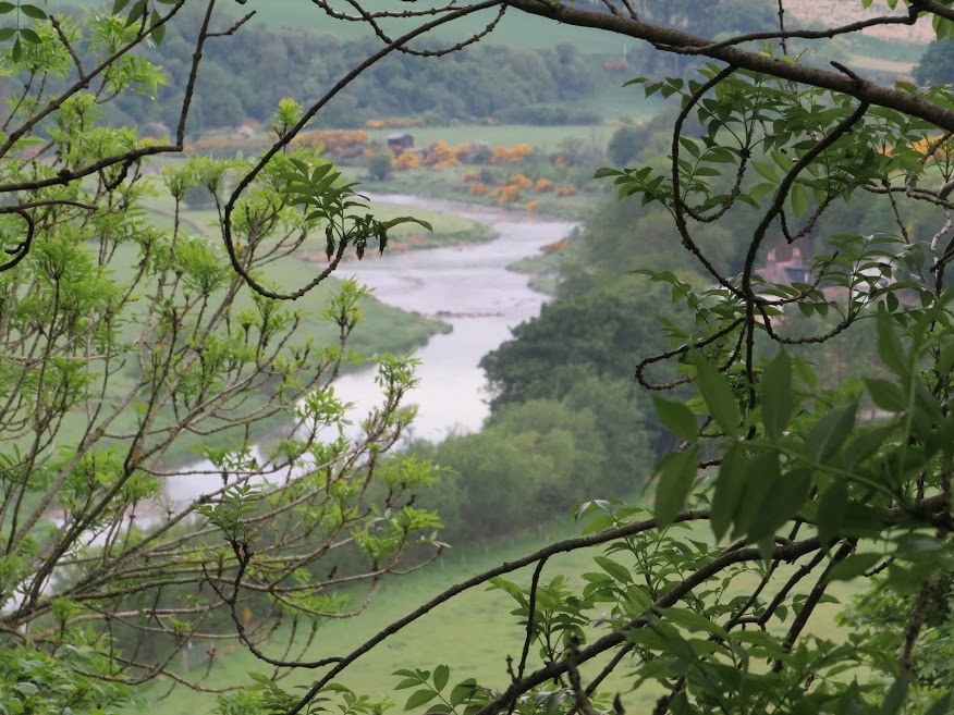
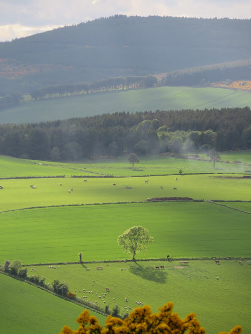
View west along the Deveron.


Itchy neck.


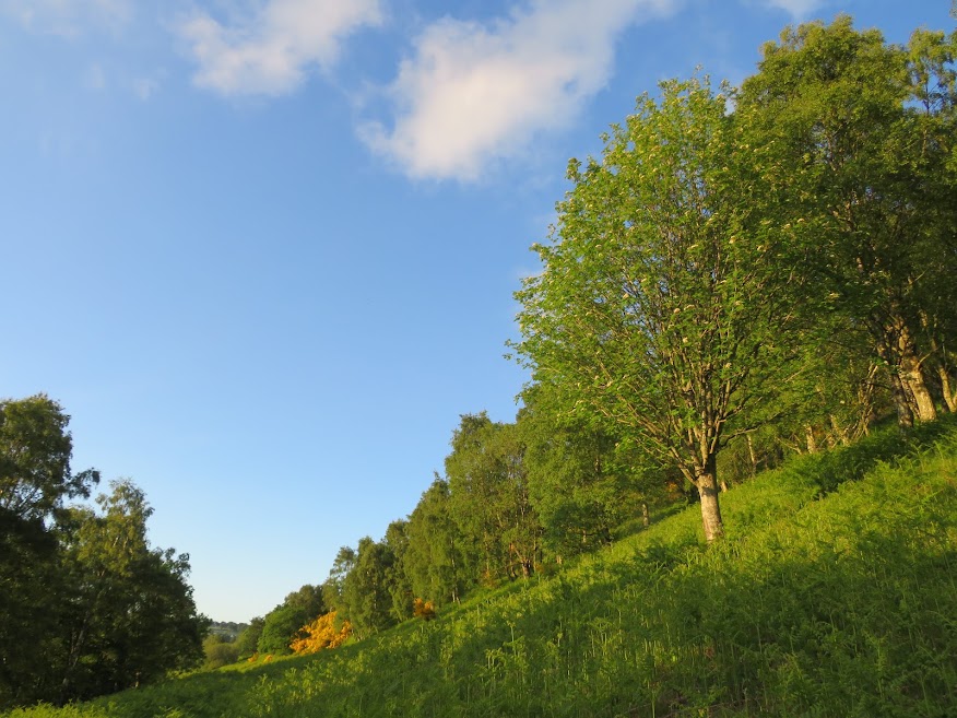
Down through Logg Wood.


Walk complete. I think it was on this walk that there is no need to cross barbed wire fences at the east end of the hill; they can be by-passed with a but of ducking and diving through the woods on the other side.
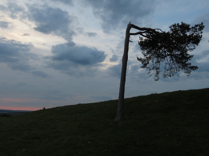
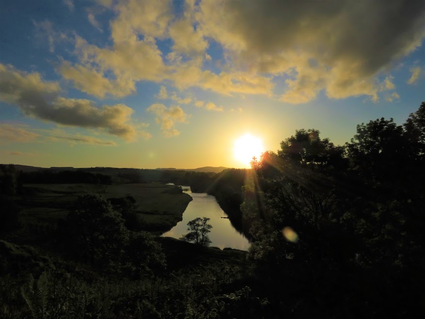
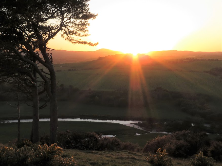
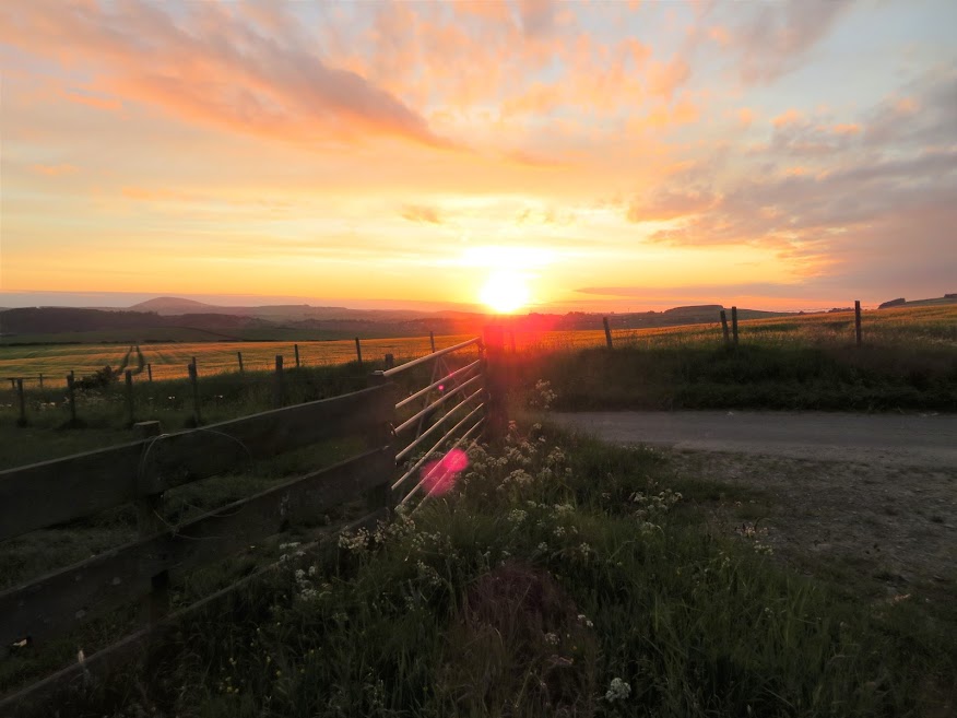
June 8th: Logg Hill for sunset, via the woods track.An unusually active day for me on which I not only set a personal best time for jogging up and down the lane behind the house BUT ALSO managed a wee walk for sunset.

Following the track down towards the Deveron but looking out for the left fork that leads to the woods (I missed it last time even though I managed to take a photo of the Y junction).

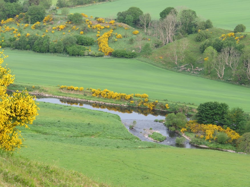
Aesthetically pleasing bend.


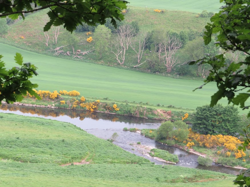
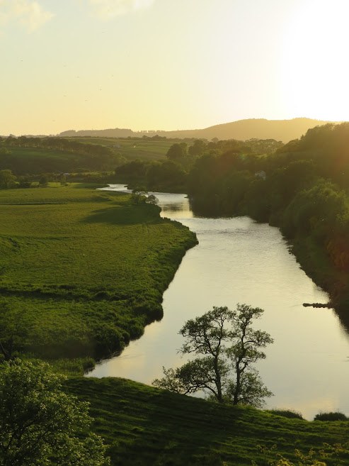
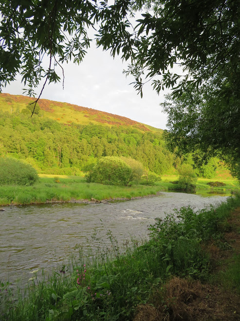
First clear view of the Deveron.


Zoom to Knock Hill.


Ascent underway.


 June 11th: Netherdale.
As a break from my obsession with Logg Hill I suggested a walk on the other side of the Deveron, opposite Logg Hill, to put things in perspective. Was it really such a nice wee hill or was I just deluded because of coroncabainfever. Like many bigger but retiring hills it can look like not much of a hill at all but from other angles and in terms of views from the top it can seem like the top of the world.
From here I can see nothing but a long, dull, gently sloped area of raised ground.

But a bit more interesting in this zoom.

Yellowhammer, my mother-in-law's favourite bird.
I can also see the way up/down the western slopes.

Further east along the road and Logg Hill becomes more eye-catching.
Having a rest.

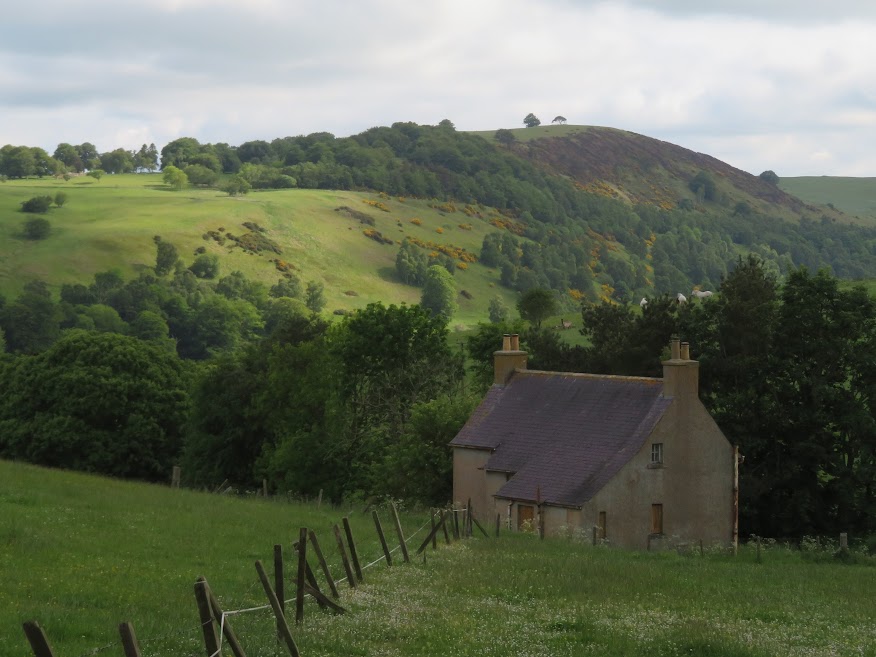
I think this house is derelict but in such a nice location. There are plenty of old farm houses like this in the region.


The Buck.

Lots of beech in the area.
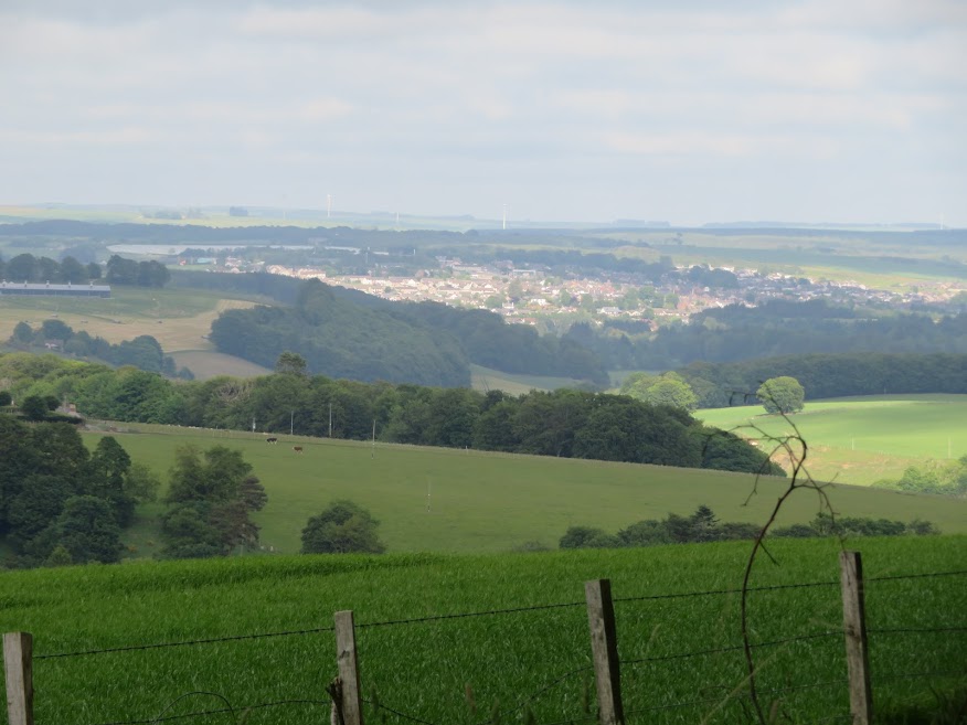
Turriff megalopolis.

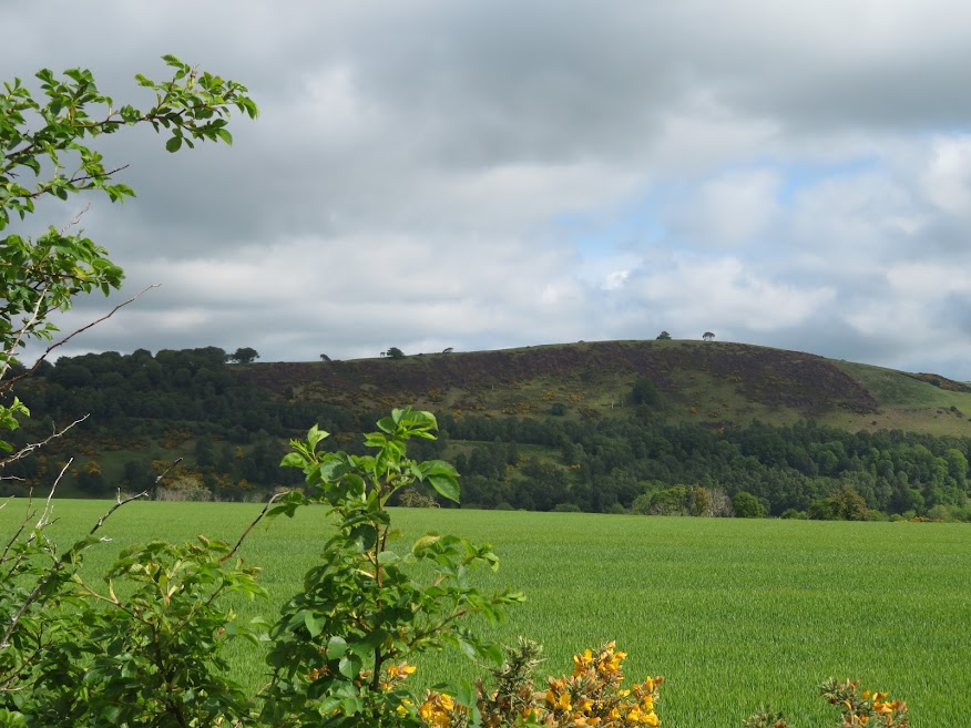
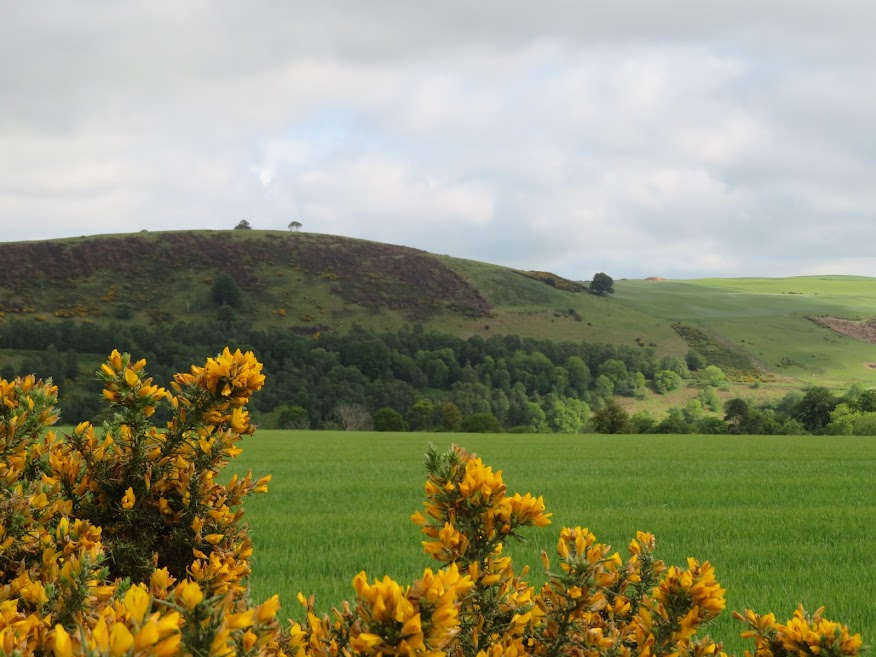
Fourman Hill.
The mighty Logg Hill.

Tap o' Noth and The Buck.


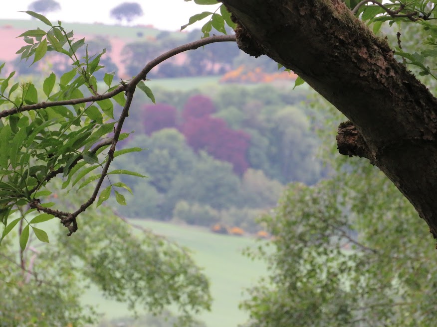
Bad photo but nice colour.


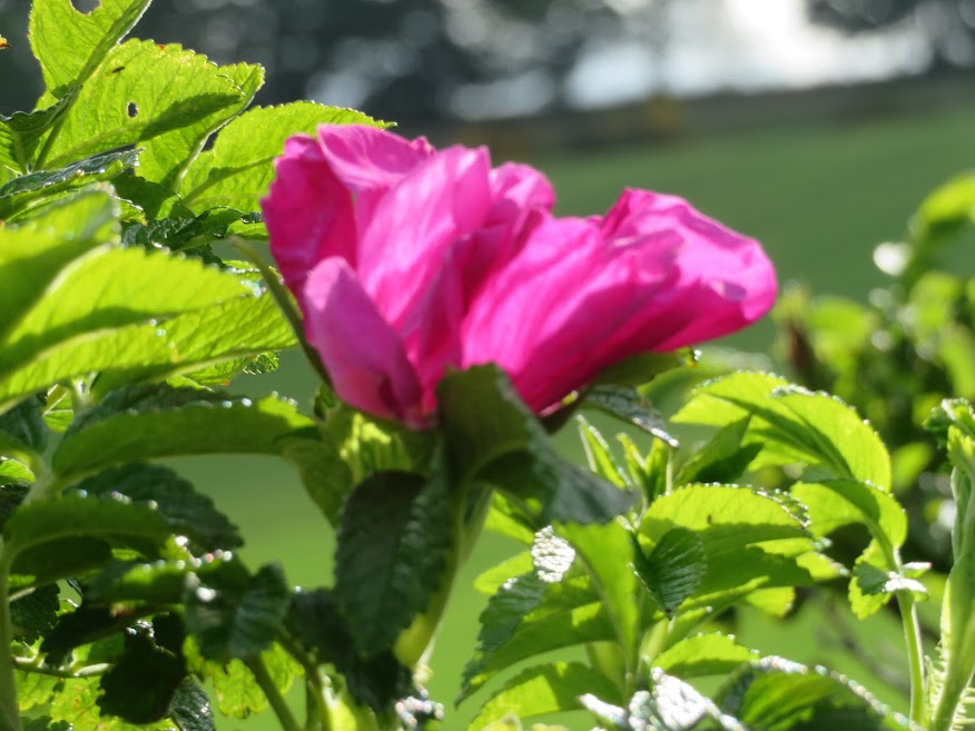
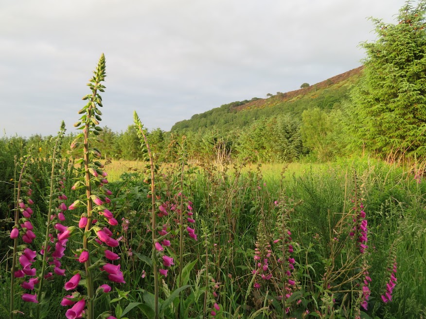
These smell nice but I should know better than to stick my hayfever prone nose into them.
June 17th: Island Haugh and questioning the Golden Ratio.
As it was June 17th I still had it in my head to use my judgement over the five mile travel limit. Anyway the plan was to go if quiet and leave if busy but I (correctly) suspected there would be no-one else there so the walk was on.
This time it was just a low expectations short walk we'd done before but it turned out to be a fine evening.

Stopped to admire Clunie Hill. Will try to find out if access is possible. What was once a hillock now looks like K2.

Knock Hill.

Fourman Hill.

Tap o' Noth and The Buck.

Fourman Hill and the Deveron.
Our long shadows.
Eastern slopes of the mighty Logg Hill.
Western sloped of the mighty Logg Hill.


A foreshortened Logg Hill looking almost non-existent.


We wandered on a bit along the riverbank but from memory I thought there would be a dead end. We didn't get as far as a dead end though as my internal sunset o'clock alarm went off and it was time to head back to the car and see if we could catch the sunset.


The track down from the east end of Logg Hill that forks to the woods and to the riverside.

Now retracing our steps.


Logg Hill looking more immense now from the distance.


I checked (no, really) and there is a golden ratio in this photo but based on the left hand edge of the sun image, rather than the centre. I'm not sure I'm completely convinced that the (a+b)/a = a/b = 1.62 composition suits all occasions and I maybe have a personal preference for a/b to be more like 2. But I also like Prokofiev which is supposed to be dissonance so maybe there is such a thing as dissightance. Just tried to look it up and there seems to be a visual dossonance but no dissightance which there should be.
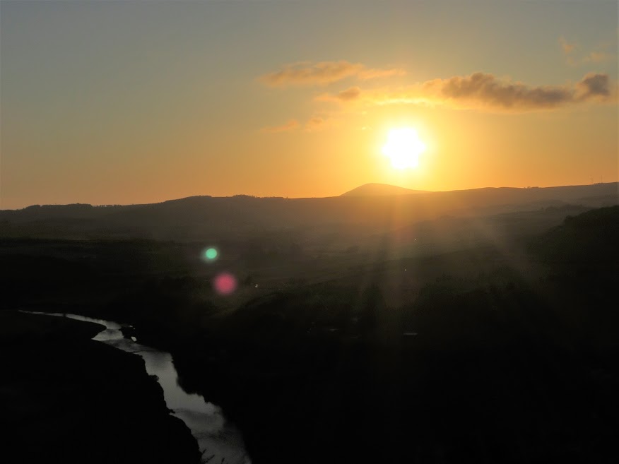
A nice Aberdeenshire sunset though.

Sheep not really bothered about the sunset but on Bannau Sir Gaer they were.

More like a/b = 2.


Checking Clunie Hill for paths -none in sight so a case of phoning the farm I guess.

Tap o' Noth and The Buck.
The less aesthetically pleasing a/b = 1. I don't know though.
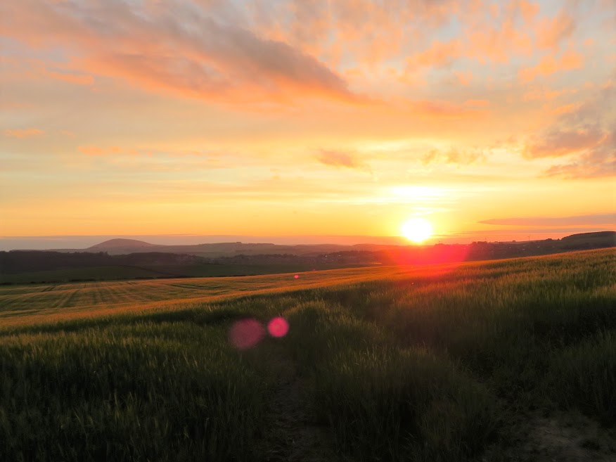
a/b = 2

 June 20th: Woodside of Laithers to Drachlaw
Having had a dispiriting walk through the jungle that is Wood of Craigbrae the evening before it was good to get an easier and more rewarding walk under our belts. We'd been along here before but just the once and quite a while ago so still some novelty about it.

Knock Hill on the horizon, beyond a glimpse of the Deveron.

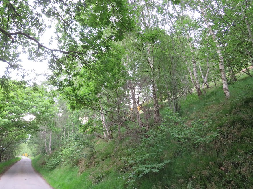
It's a narrow lane but there's no traffic at all.

Mayhem across the river.


On our way back now -it's just a short walk.


One of many ruins in the area.
June 21st: Foss Braes.On an afternoon with showers forecast we head for the southern twin of Brae of Slack o' Causeway.

Looks like we might escape the showers.

The track into the woods.


Path off to the west that possibly forms part of a loop.

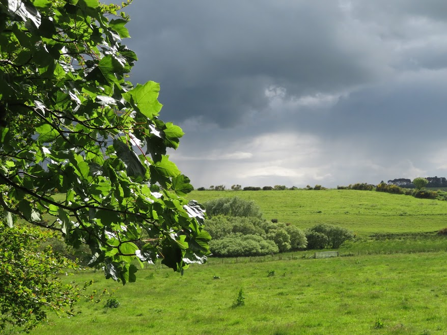
Showers, thunder and lighting have now started.
 June 22nd: Miaggie Pot to Turf Hill
Intended route was out of bounds so we improvised with a walk along the lane and a diversion into the wooded Turf Hill.

Yet another view of Logg Hill.
Fourman Hill.

At a crossroad of carpet-like tracks the go through Turf Hill woods.
Hairpin on the way back to the car.

Back beside the Deveron.
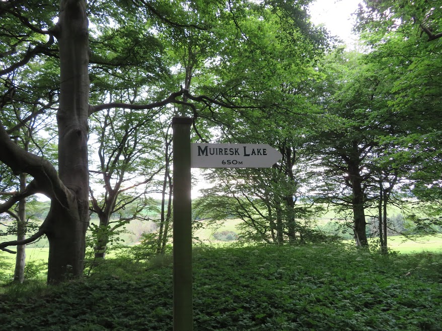
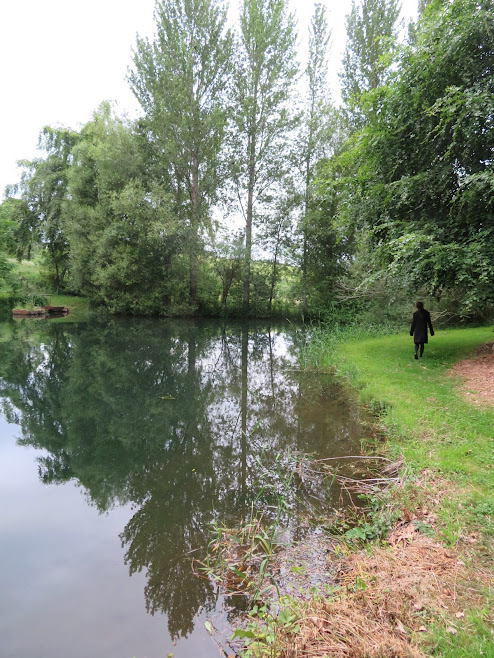
June 23rd: Muiresk Lake.


 25th June: Logg Hill
In the garden thinking about where to walk.

If in doubt it has been Logg Hill this month.


Tap o' Noth.

Fourman Hill.

Knock Hill.

Gallow Hill (I think).
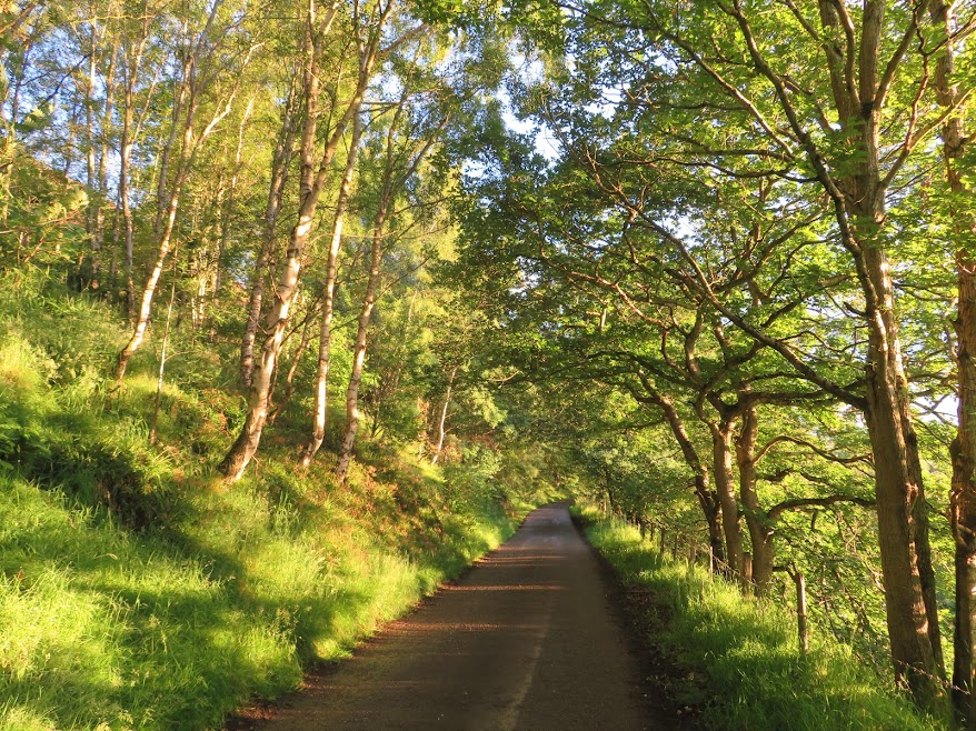
 June 28th: Logg Hill lane.
Pleasant evening stroll.


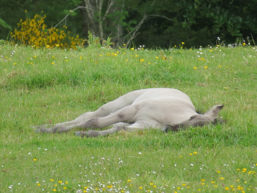
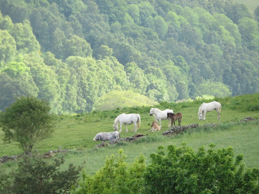
Horses that Jill spots and starts singing to.

All ears!
 June 29th: in the garden.


 June 30th: Tifty Gourdas.
More rain.

But it looks brighter in the evening.

