free to be able to rate and comment on reports (as well as access 1:25000 mapping).
This was my plan B walk for the day. It looked a lot more cloudy further north so I settled for the clearer looking Breabag, albeit I was slightly apprehensive about walking on scree.
It had been a beautiful morning's drive up, maybe magnified by the relative sensory deprivation of the last while. But it was nevertheless good to be reminded of what most if us have been missing.
Half way to the summit I had misgivings, not about the forthcoming scree this time but about not having chosen something easier. But that was because battle with the heather had begun. However, that was a short-lived doubt because as soon as I got onto less steep ground the going was relatively good.
I kept waiting for tiredness that never came. My "interval training" must have paid off. In truth, though, it had been interval training more by virtue of there being lengthy intervals between the training than because of any strict adherence to a training programme. However, I was definitely feeling fitter than before and got to the top without feeling knackered as usual.
I had aimed for a waterfall that is visible from near the bone caves and that is 1km NNW of the summit. I crossed the burn at the waterfall and then followed its north bank steeply up to the plateau. This is quite a good route up but I kept well away from the wetter parts.
Once onto the plateau I was pleasantly surprised to find a huge swathe of scree-free grass to walk up to what must be close to the top. I kept to the west edge though for the views and only headed east when the scree dictated. This slight change of course led to another large grassy area, this time quite level and thus indicating it was time to head due east for the top. That wasn't a planned route but I'd recommend it for the lack of scree.
So, only a short distance of boulder dodging needed and I was at the summit shelter. I hadn't been able to take my eyes off the westward views all the way up but now I was able to look in other directions. Less dramatic, but still breathtaking.
After that quick summit stop I reluctantly stumbled NNE over the scree and boulders to try to get a view into Coirean Ban. As soon as I caught a glimpse of the latter I was off to the grass again as I really don't like that sort of terrain. I had also been thinking of not getting injured too, of course.
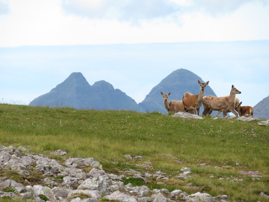
A highlight of the walk was yet to come as some deer framed themselves nicely in front of Suilven Canisp on the way down. Also got nice views of the bone caves.
The drive back to Ullapool was wonderful. Been along that road hundreds of times and maybe took it for granted a bit but every crag and peak caught my eye this time. Nice weather helps of course!

Target ahead, somewhere.

Allt nan Uamh daylighting?

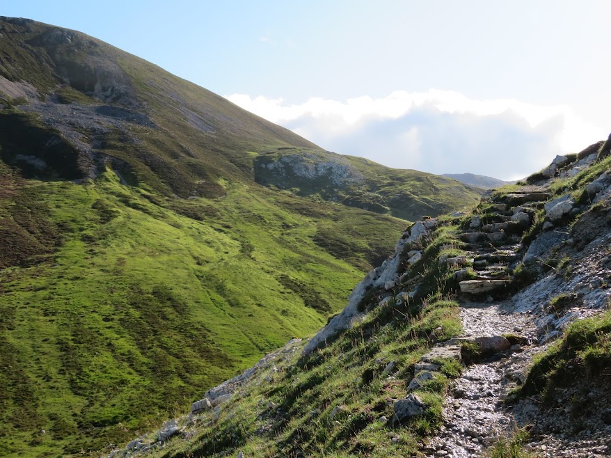
Up on the bone cave path.


Followed the grassy dip to the south to start with before cutting back east, aiming for the waterfall 1km north of the summit. Once battle with the heather had commenced I had slight misgivings about not having chosen something easier but the going turned out not bad once onto the gentler slopes and it seemed my attempts to keep some fitness had paid off.

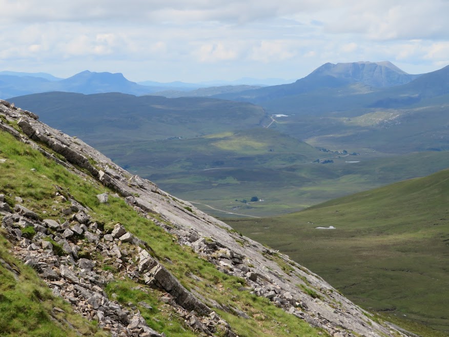
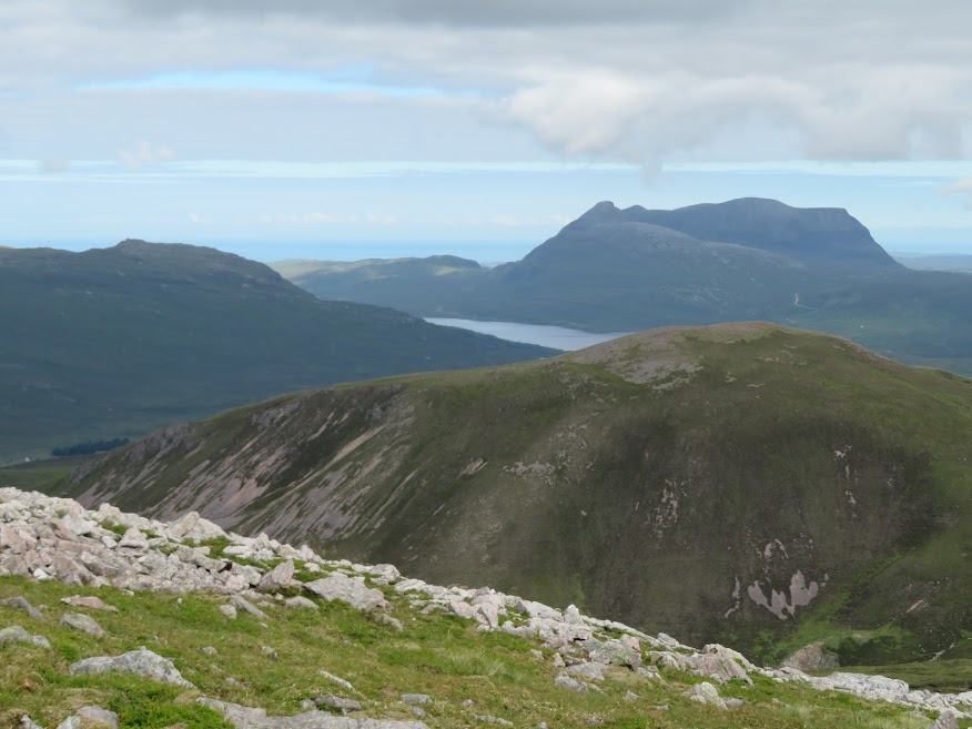
View south to An Teallach.

Suilven.


I followed the burn up to the waterfall that is 1km NNW of the summit, before crossing.

Unnamed waterfall, 1km NNW of summit.


More water slides and slabs above the waterfall. This is quite a decent way up but I kept well away from the wetter parts.


I took this photo mostly as a reminder of a walk up Beinn an Fhuarain. This small hill has great views of the Assynt hills despite not being much to behold itself.
Quinag.

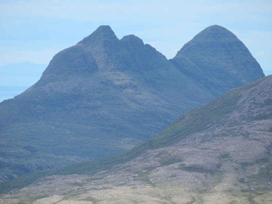
Cul Mor and Sulven.


Canisp.

Trotternish on the horizon.

Pleased to find that it was easy to avoid the scree almost completely until the summit area.


Large, flat grassy area 50m below and west of the summit area.


Beinn Ghobhlach.

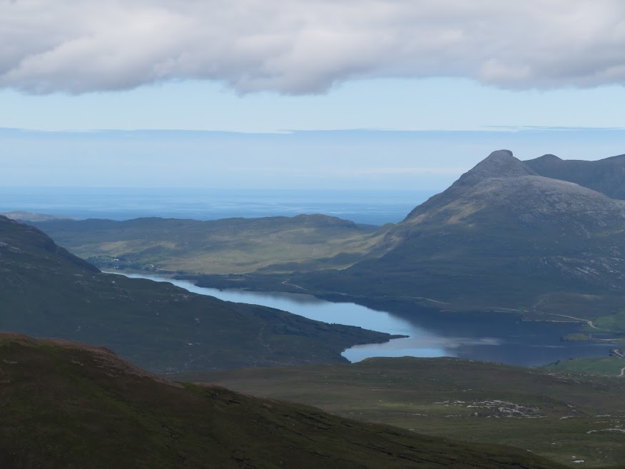
View sout-east from just north-east of summit.