free to be able to rate and comment on reports (as well as access 1:25000 mapping).
Grahams: Meall a' Chaorainn
Date: 23/08/2020.
Distance: 8.5km.
Ascent: 570m.
Time: 3 hours, 20 minutes.
Weather: Overcast and cool. Occasional light rain.
Another short day out. Ropey weather on Saturday had us looking for somewhere not too far away on Sunday that might have decent views. Meall a' Chaorainn sprung to mind - I hadn't been up here since a hydro scheme had been built on the slopes above Achnasheen. Although the older path up Fionn Bheinn on the eastern bank of the burn is more pleasant, I knew the track would give us easy height, and I like having a look at these sites to see how much effort has been put into reinstatement.
We parked up in Achnasheen and had lunch in the car, starting out on the hill just after 2pm. There had been the odd shower on the road over but although grey, the forecast was promising largely dry and clear hills with little wind. There was a noticeable chill in the air, but not enough to completely eradicate the midges, which were still lurking in a couple of places.
 Sgurr a Choire-rainich and Achnasheen
 The track had been dug over and put back to a 2m wide route that zigzagged up the western bank of the burn. Not a bad job actually - far less obtrusive than the rather ugly estate track on An Liathanach across the glen.
 Hydro track
 Perhaps the reason I hadn't thought of this hill before was due to the epic beard of peat hags that had to be negotiated at around 500m. Some of these need to be crossed to get to Fionn Bheinn as well, but the route to Meall a' Chaorainn has a lot more of them! I went for the same technique as I'd used previously - straight line through the middle. Jackie was tiring a bit in the middle of this morass, but as peat hag crossings go, it wasn't that bad.
 Starting across the peat hags
  Fionn Bheinn
 After the hags was a steep but simple 150m climb on good ground. I thought that there was a fair amount of plateau to cross before reaching the summit cairn, but once the hillside levelled off, it was right there. As was a spectacular view across Lochan Fada to the Fisherfield hills.
 On the summit
  Down Glen Torridon
  Fisherfield
  Slioch to An Teallach
 Fionn Bheinn is probably a slightly better viewpoint, but this smaller sibling is pretty good as well! There was a little weak sunshine on Liathach briefly, and also A' Mhaigdhean. Through a gap above Lochan Fada, we could just see a small segment of Harris in the distance - specifically where the hills slope down in a V-shape to Tarbert. Grey it might have been, but the summit views had us captivated for the best part of 30 minutes, until the slight but cold breeze drove us away.
 Fannaichs and Fionn Bheinn
  Loch a Chroisg, Coulin hills and Liathach/Beinn Eighe
 I had thought briefly about some kind of circular route, but in the end it was best to just head back the same way. Descending the steep section, we spotted something of a route slightly further west through the hags, following a rib of higher ground. This actually turned out to be a quad bike track, and although slightly squelchy in places, it delivered us right back to the hydro track, a little downhill of the intake.
 South to the head of Strathconon
  South to the Strathfarrar hills
 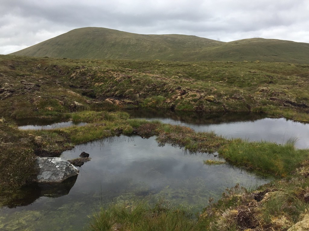 Looking back to Fionn Bheinn
  Above Achnasheen
 The sun was starting to edge out as we descended the last bit, and back at the car the midges were lurking, worse than earlier. We dived in and headed home, a successful short afternoon out behind us.
