free to be able to rate and comment on reports (as well as access 1:25000 mapping).
This just turned out to be one of those days.
The weather report was for 70% chance of cloud free summits so looked reasonable enough, but very warm and humid. I had originally planned on doing Sgorr Ruadh and Bienn Liath Mhor next door, but the forecast of humidity made me think it would be better to take the easier option.
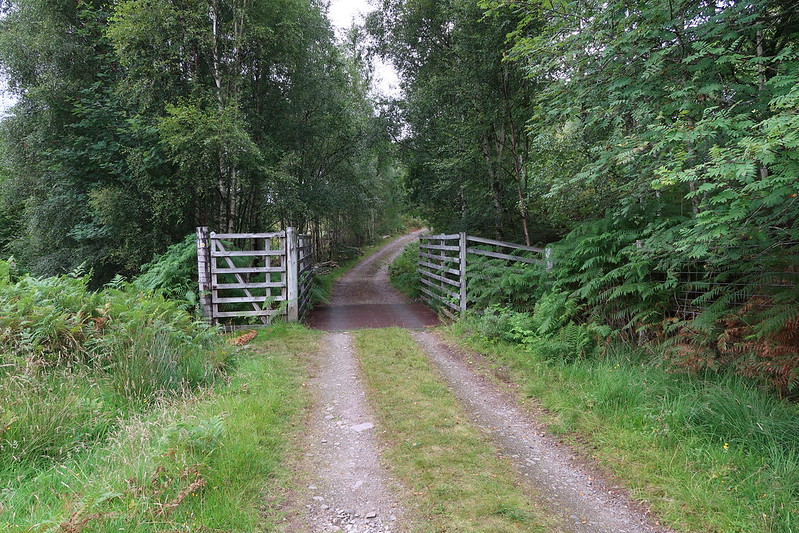
Parked up at the large layby just after the Coulags Bridge and set off. A forestry track leads off on the otherside of the bridge up the glen.
Not far up, you reach a gate and the worlds smallest sign to tell walkers to head left rather than straight up what is actually somebodies drive way.
 IMG_0687
 by
matthew_chalmers, on Flickr
A couple of kms on you pass a hydro weir and then cross over to the other side of the river.
 IMG_0690
 by
matthew_chalmers, on Flickr
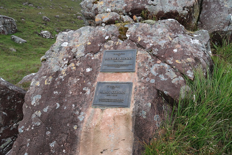
Memorial
 IMG_0692
 by
matthew_chalmers, on Flickr
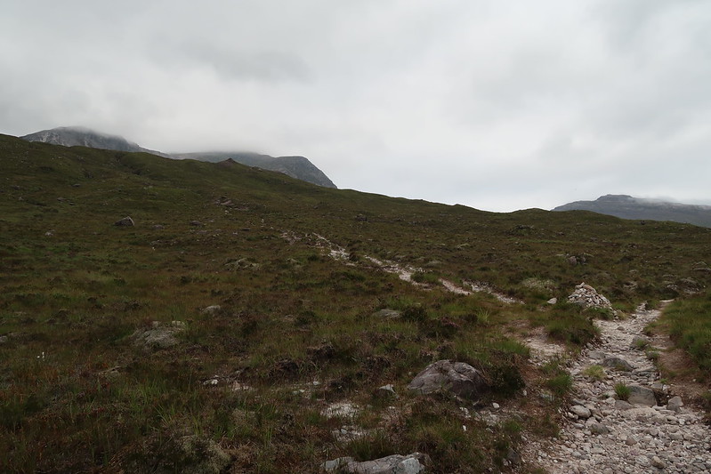
Another 1km or so past the bridge their is a bothy (appears to be open).
Not far on again, the path branches to the the left to head up to the Munro
 IMG_0694
 by
matthew_chalmers, on Flickr
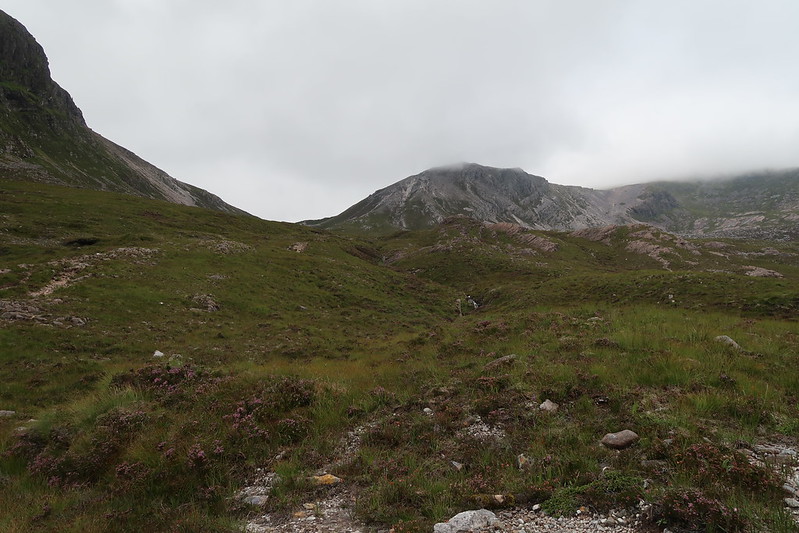
The tops were stubbornly hiding in the clouds still.
 IMG_0697
 by
matthew_chalmers, on Flickr
Looking up towards the summmit in the clouds from the bealach
 IMG_0703
 by
matthew_chalmers, on Flickr
Looking back towards Meall nan Ceapairean
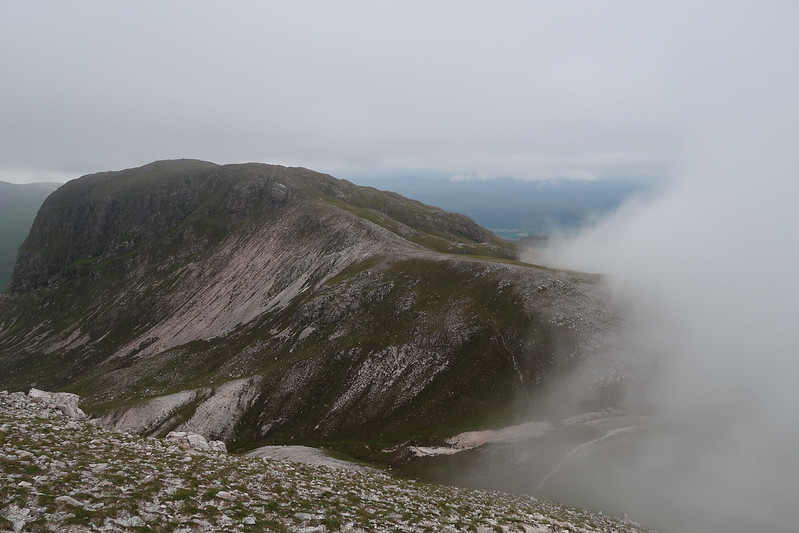 IMG_0704
 by
matthew_chalmers, on Flickr
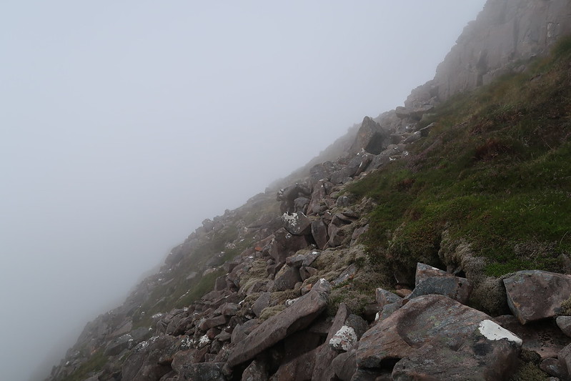
From here on, it was walking in the clouds, but finding the summit cairn was largely straight forward
 IMG_0709
 by
matthew_chalmers, on Flickr
Had a rest for 20 mins in the hope the cloud would lift but sadly not, so decided to head back the way I came, at least I thought I did, rather than SSE I went off SW, but caught site of a cairn off to my left and corrected my mistake. I remembered I needed to cross a small dimple before heading down to the bealach again, but I never checked my map or compass and again headed SW rather than SE and it quickly became apparent I had taken a wrong turn as I found myself stood at the top of what looked like some rocky outcrops and cliffs. So I think I've veered to far east and need to traverse right till I find the path again after 10 minutes though, I find myself stood on some very steep terrain. Definitely not right as I know I've turned round 90degrees by this point.
 IMG_0710
 by
matthew_chalmers, on Flickr
Compass time, right I'm heading north, completely wrong. At least I know I'm on the west side of the top now though so I know I can retrace my steps to the dip between the top and the dimple and continue SE and find the path again heading down to the bealach.
And I do it again! I head SW rather than SE (my internal compass must be broken) down a scree slope that kind of looked like a eroded path, at this point I dropped out of the clouds and realised my mistake, but at least if gave a good view of the loch below An Ruadh-Stac.
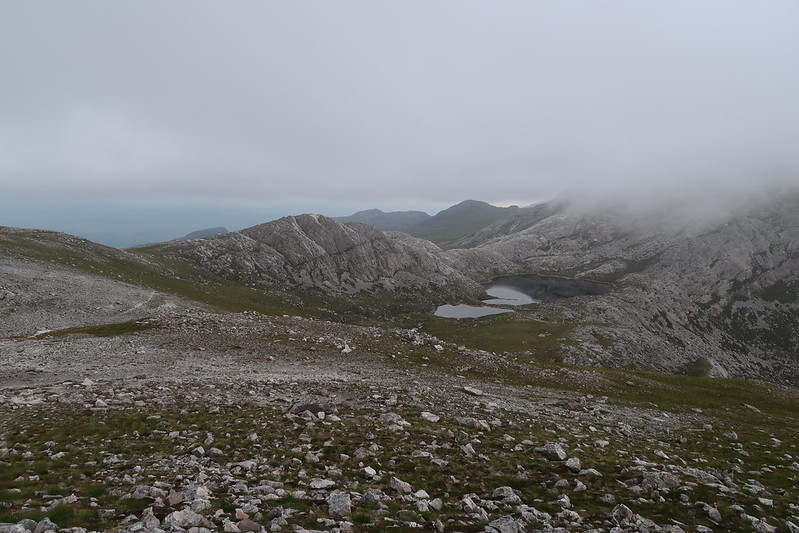 IMG_0713
 by
matthew_chalmers, on Flickr
I'm blaming dehydration again, all my navigation errors seem to occur on these sorts of warm humid days.
