free to be able to rate and comment on reports (as well as access 1:25000 mapping).
Hewitts: Great Rhos, Bache Hill, Black Mixen
Other summits: Whimble
Date walked: 12/11/2011
Time taken: 5 hours, 20 minutes
Distance: 22 km
Ascent: 1060m
Weather: Sunny down below, misty on plateau. Unusually warm.
I was aiming to do a train/bike/walking combination around Pressendye and the Buck this autumn, but that will need to wait until next year. However, the Radnor Forest plateau in Mid Wales was a good alternative, as the landscape and terrain was very similar. No bike, but I did use the Heart of Wales railway line - a new one to me. After sitting around in Shrewsbury for a while to wait for the connection, I saw that the train was a single carriage, and had choking diesel fumes billowing round it. I thought for a moment that it would be delayed or cancelled, but no, that just seems to be the normal state of the train!
Given my usual experiences with rural public transport, I expected to get a few seats to myself to catch up on some sleep. However, this line appears to be very popular with walkers, and we left Shrewsbury almost full, with more and more people joining at each station. I had expected to be the only person to get of the train at Dolau, but about 35 other people did too! I was rather pleased actually, as I get the feeling most of these rural services are hanging by a rather fragile funding thread, with few people using them.
Most of the passengers seemed to belong to one of two rambling groups - more
The Great Outdoors than Munro Baggers Anonymus. I did well to avoid being stabbed in the face, with the amount of walking poles on the luggage racks.
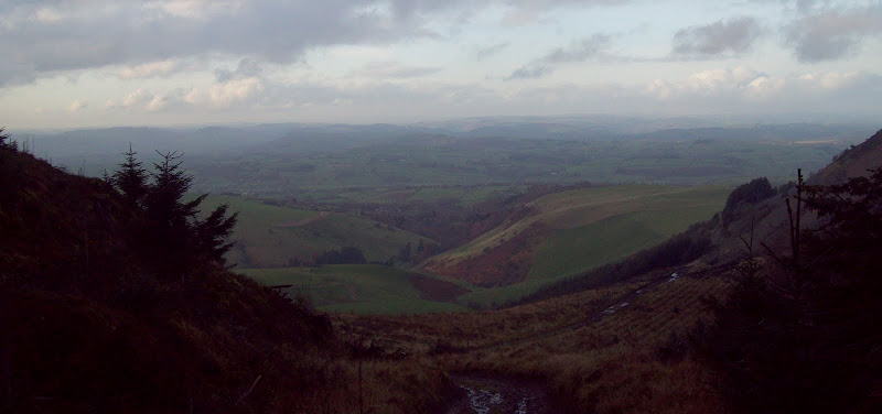
Thankfully the groups all headed the other way from the station (for a through walk to Llandrindod Wells), so I avoided being stuck in the middle of a large group. A short walk up the road and over a field took me to the A488, which I crossed, then picked up the minor road leading to Shepherd's Tump. I made a fair pace on the tarmac as I knew that I had to beat Naismith to avoid a very long, dark (5 hour) wait for the next train after my planned one. Still, being a dead end, the road was virtually deserted and gained some nice early height, bringing good views with it.
Ramblers head the other way:

The view north from the road up Shepherd's Tump:

West to Llandegley Rocks and Llandrindod Wells:
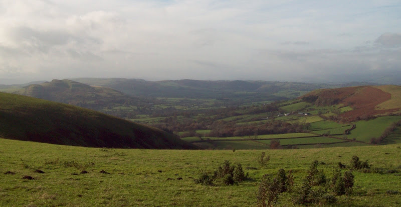
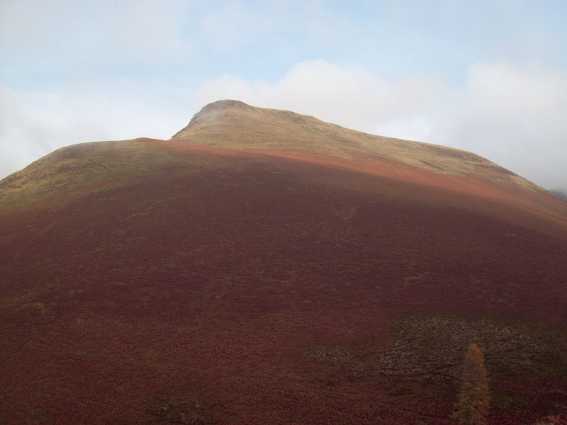
The road continued as a good track, then a slightly wetter track all the way up to the plateau. I seemed to have the best of the sunshine in the area, with the wilder western hills of the Elenydd dipping in and out of the clag.
Northwest from Cefn y Grug:
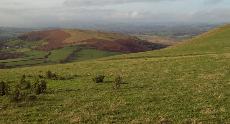
Across Cowlod to the western shoulder of Great Rhos:
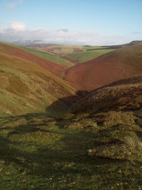
Cwm Merwys and the northern end of Great Rhos:
Down Cwm Merwys:
N end of Great Rhos:

Back down the route of ascent:
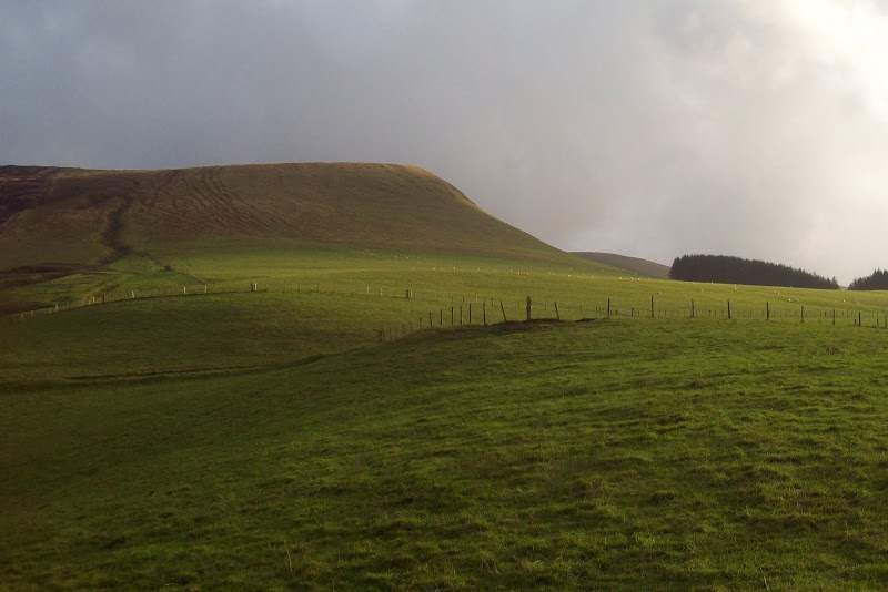
Once I'd gained most of the height, I struck off across the moorland to reach the summit of Great Rhos. This was heathery and wet, and reminded me that the Highlands doesn't have a monopoly on bog! Soon enough I was at the trig point.
Summit of Great Rhos looking SW:
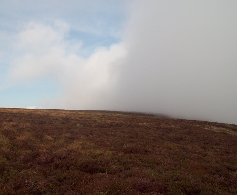
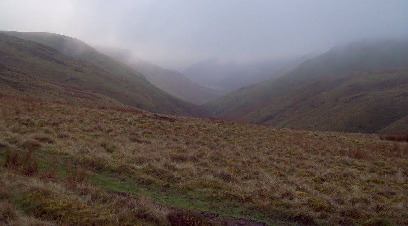
I wasn't convinced this was the highest point, so I carried on south to another bit of heather which looked higher. Maybe it was, but it makes no odds. One thing I found out today is that the 'high points' of this walk definitely weren't the actual high points! I worked my way to the edge of the deep, steep sided valley of Harley Dingle, which splits this range in two. Unfortunately, it seemed to be full of clag, and boiling over.
Cloud rolling in from the right:
To do all of the main Radnor summits, the ideal route is a horseshoe from the south around Harley Dingle. Using the train meant I didn't have this luxury, but I hoped the next part of my plan would allow me to get some decent views of this side of the hill.
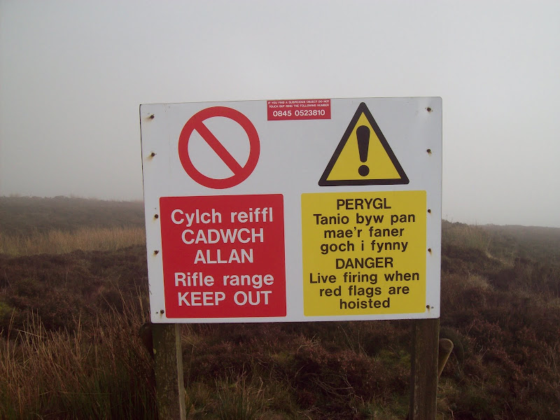
Harley Dingle is an MoD rifle range, and may well be out of bounds at all times. I chose to find the signs ambiguous. One thing I could see however, was a couple of bare flagpoles, suggesting that there was no activity today.
I decided that while I didn't fancy being shot, I could handle a sharp dressing down if I met anyone, so I contoured the valley edge for a bit longer (frustratingly the mist was ruining the views) before dropping down steeply to the valley floor. The occasional clearing in the mist revealed some nice looking crags on the other side, and the pointy summit of Whimble, which I'd also decided to include in the round.
Does that mean 'access allowed if no shooting?'
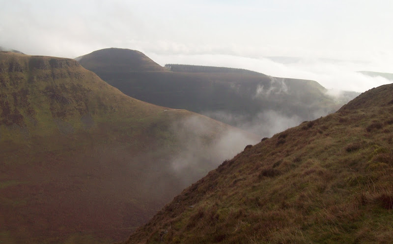
Whimble and Great Creigiau across Harley Dingle:
Great Creigiau:

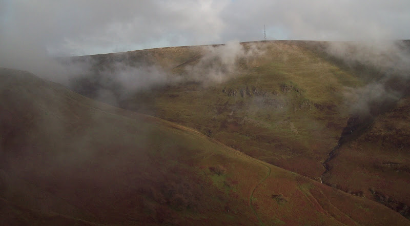
Black Mixen:
Whimble and the firing range:

Great Creigiau from the bottom of Harley Dingle:
The river was in spate and just too wide to step across, but a running jump solved the problem. I wound through some containers and buildings and started ascending the extremely steep west ridge of Whimble. The going was OK underfoot, and I crossed a flat heathery plateau before the final pull to the summit, sadly in the mist again. I had lunch here in the hope that things might clear, as it was the only decent summit in the bunch, the rest being trig points in the middle of boggy plateau. On the way down I passed a craggy hollow - I've seen a lot of these sort of things in Mid and South Wales, and always wonder if they are small quarries for track material or naturally formed. Looking closer, the latter seems most likely.
Manmade or natural? On the side of Whimble:

Whinyard Rocks:

I descended to a large barn and track, and followed this up to Bache Hill, enjoying a brief section below the clouds. Off the track, I was walking through fields in the mist, feeling a bit uninspired. The summit was in moorland just to the east of the fields - a shameless bag if there ever was one.
Why did I bother including this? The unexciting summit of Bache Hill:
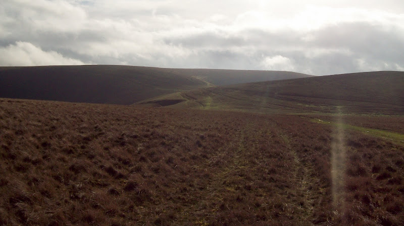
Dropping down on the other side, I picked up the edge of the forest, with occasional holes in the mist. A track unmarked on my 1:50,000 map led to the summit, removing the dilemma of when to strike out from the forest edge. The plateau around the summit was wet and squelchy.
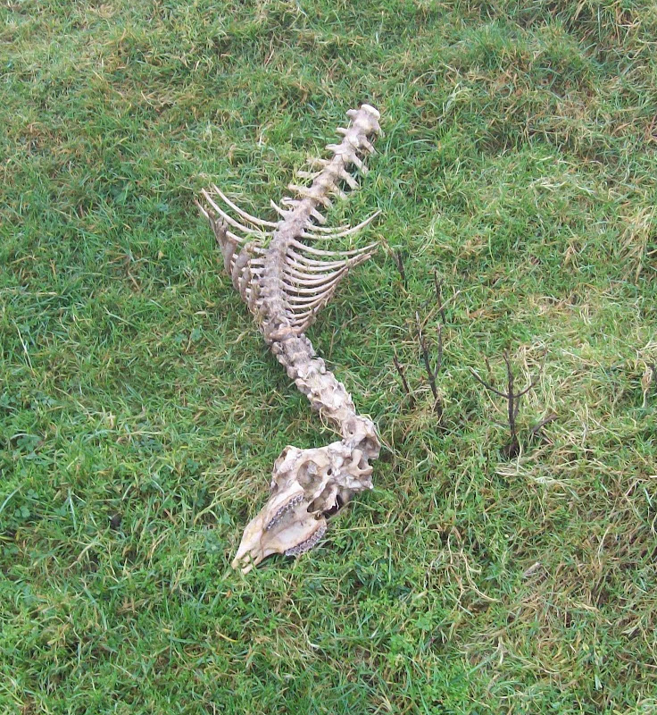
Last person who tried to cross these moorlands:
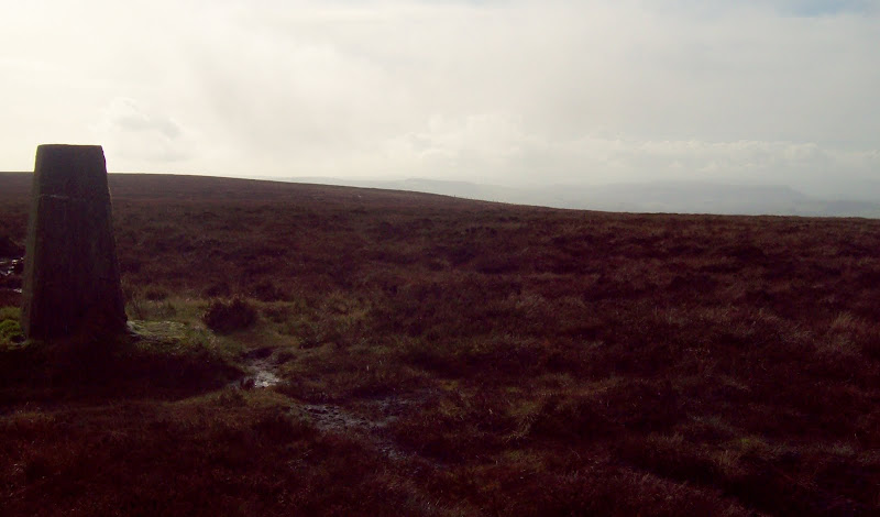
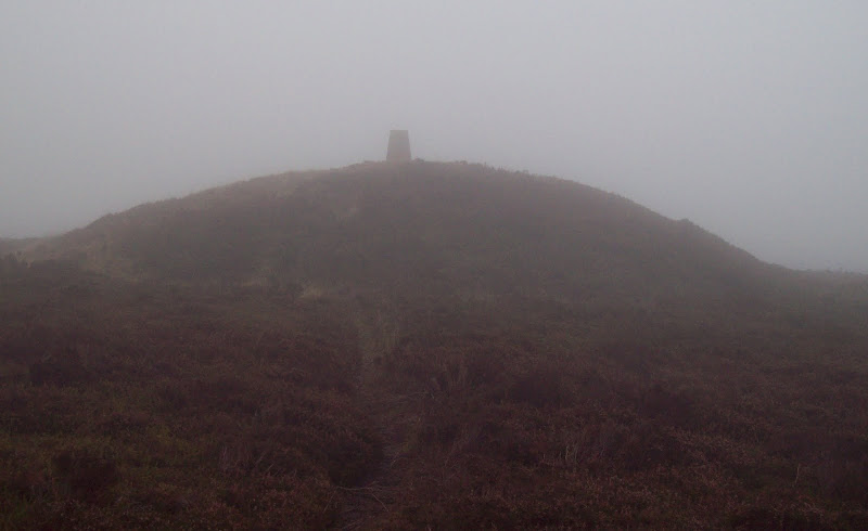
Hard to miss the summit of Black Mixen, even in the mist:

I carried on through wetter, more squelchy terrain, hearing a few gunshots from down in the firing range. I couldn't see any flagpoles from here, but it seemed like I had been quite lucky with my timing (the alternative would have involved being shot or retracing steps around both sides of the plateau. Not sure which would have been worse

)
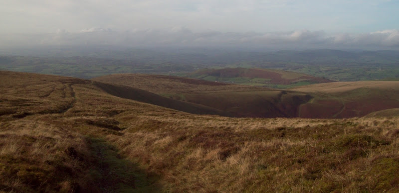
South down the length of Harley Dingle:
I joined the forest edge again, and crossed the fence to hit the bridalway which would lead me back to the north side of the hill. Having walked and orienteered in quite a few Mid Wales forestry plantations in the past, I know they have a habit of being really muddy. Thankfully the bridalway followed a proper track, rather than just being a churned up gap through the trees. It was still rather wet though.
Lower down a couple of deciduous trees added some colour to the scene, before a felled area provided some long range views. Folds of green hills, with the faint outline of Pumlumon on the far north horizon. A bit of a change, as I'm much more used to it being a faint outline on the south horizon!
North towards Pumlumon:
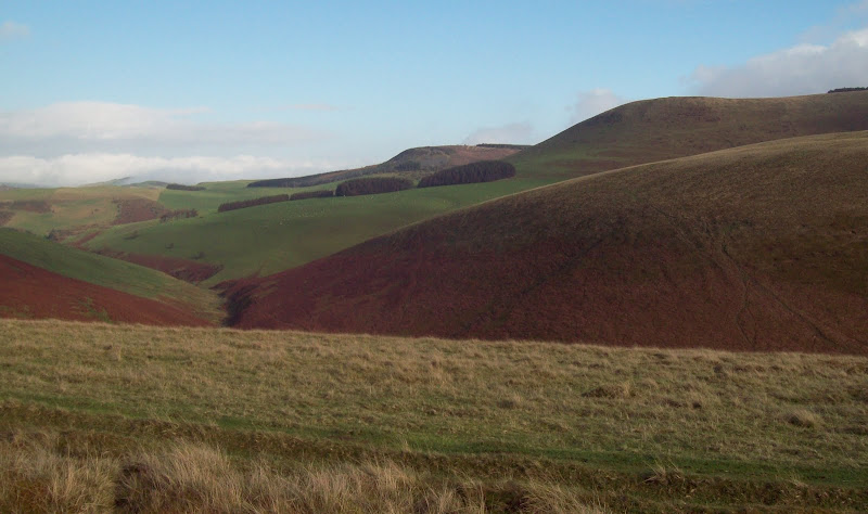
Looking west, some of the Elenydd hills were also visible. This is a vast and mysterious area - in some ways the wildest and remotest part of Wales. However it has few summits that can be recognised from afar, being a sprawling upland area of bog, grass and forest. Its appeal lies in the attractive valleys that carve their way into the area, and the isolation.
Across Cwm Merwys to the Elenydd:

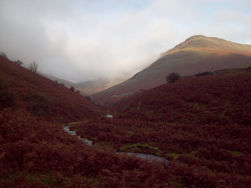
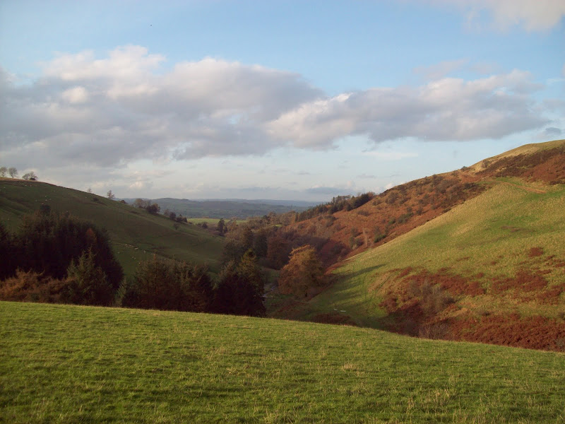
I climbed a fence and headed down a steep slope to get into Cwm Merwys, the key to my route back. As the sun had come out, I had another quick stop, and marvelled at how green everything looked. I didn't hang around long though, as time was getting tight. Cwm Merwys was a pleasant end to the day. Just a bit of a shame that the best weather was on the least impressive parts of the walk.
Back up to Great Rhos:

Cwm Merwys:


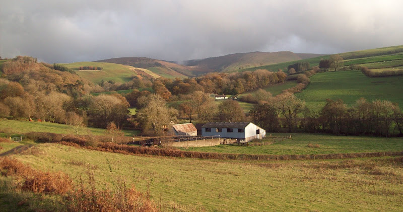
Lower down I tried to take a footpath which cut a corner - it wasn't marked on the ground and I ended up climbing a couple of fences and wandering through a farmyard. Particuarly frustrating as I didn't really have time for any mistakes.
The last stretch on the north side of the A488 was a very pleasant stroll, partly on track and partly on another minor road which saw no traffic. The air was unusually warm (I'd even been having breaks in just my shorts and t-shirt, with no need to put a jacket on), and the sun was out. I got to the station with about 15 minutes to spare, which was pretty much perfect timing.
Back to the Radnor Forest summits from near Dolau:
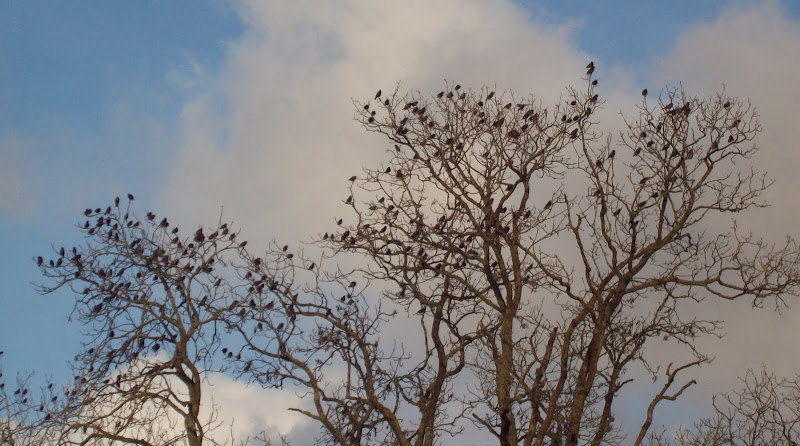
Noisy burds:
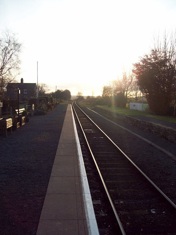
Dolau Station:
Of course the ramblers had all got on at the previous station, so the train was packed to the gills again.
I don't think these hills justify a really long drive past Snowdonia, which is why I've never done them before, but they offered a good day out, surprising me with their roughness at times.
