free to be able to rate and comment on reports (as well as access 1:25000 mapping).
Hewitts: Craig y Llyn, Tyrrau Mawr, Cyfrwy, Penygadair, Mynydd Moel, Gau Graig
Other hills: Craig Cwm Llwyd (546m)
Date walked: 14/01/2012
Time taken: 7 hours
Distance: 22 km
Ascent: 1440 m
Weather: Sunny, cold breeze, slightly hazy, occasional low cloud.
After last week's disappointing weather on Rhobell Fawr, I was hopeful for Saturday. The forecast just got better as the week went on, and it turned out to be correct, too! Some of the previous walk had been bagging by numbers, and I felt a bit dirty for doing it, so today I was able to do what I enjoy the most - using a hill list as the basis for a stunning walk. I had 3 outlying 2000ers on the Cadair Idris range - Craig y Llyn, Cyfrwy and Gau Graig, and rather than do them piecemeal, I could see the chance to do a full traverse of the Cadair Idris ridge, linking them with the highest point, which I'd already done 3 or 4 times. I was quite excited, as Cadair Idris is one of the most impressive mountains in Wales, easily up there with Snowdon and the Glyders, and also one I had been up much less. The Minfordd path circuit (which I'd ascended on all other occasions) is probably the best and most impressive route to the summit, but it is fairly short, and doesn't take you to the eastern and western extremities of the range.
Wanting to start as early as possible, I cycled the 3 miles to Telford station, which allowed me to get on the 7am train (something which isn't possible from the station across the road). Even in the early morning darkness, the moon, clear sky and frosty ground all suggested that today was going to be a good one. After changing trains at Machynlleth (roll and sausage in the station again

), the final part of the journey was one of the most impressive train rides I have been on. At Tywyn, Cadair Idris suddenly appeared up the Dysynni Valley. On the last few minutes into Fairbourne, the line followed a platform cut into the face of the sea cliffs, with a 100 foot drop right outside the window.
First glimpse of Cadair Idris from the train:
Beach at Fairbourne (from the train):
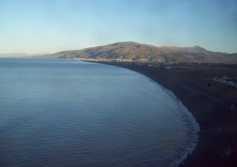
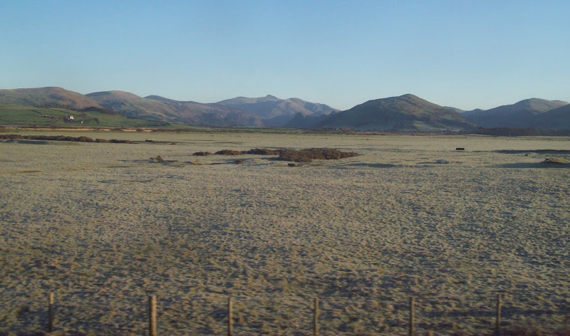
Leaving the train at 9:50 (my earliest start since about October, aside from Christmas Eve), I crossed the A493 and started working my way uphill. I followed a footpath which joined a road, taking me past Pant Einion Hall, then carried on up towards Cyfannedd. My first series 1:50k map (complete with 16m contour intervals!)was faded, torn and almost useless for navigating the labyrinth of footpaths and fields on this hillside, so I had printed out a couple of small sections of 1:25k map - one for the initial ascent and one for the descent at the end of the walk. It was fairly straightforward and soon I had broken out of the conifers and onto the flanks of Craig Cwm Llwyd, my first summit. I was aiming for a more leisurely pace today, and given the temperature, I'd put some trousers on for a change. By the time I hit the steep face of Craig Cwm Llwyd, I was sweating profusely and had to take them off.
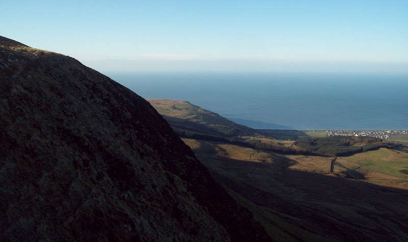
Barmouth, the coast and the Lleyn:
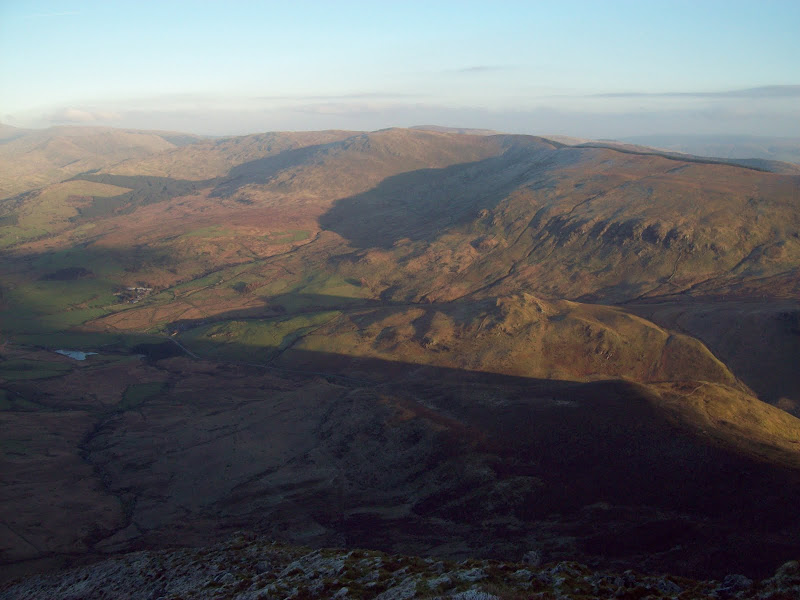
Diffwys and the Mawddach Estuary:
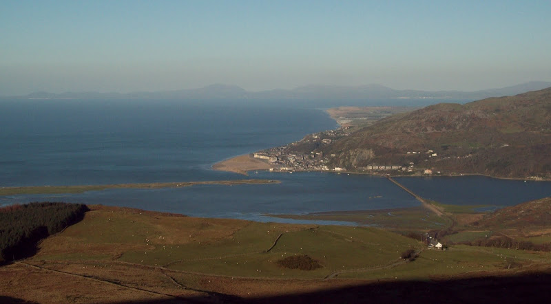
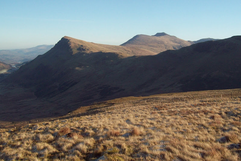
Views to the coast were opening up all the time, with Barmouth, the coast and the Lleyn Peninsula being most prominent and impressive. I was on the summit of Craig Cwm Llwyd approximately 1 hour and 20 minutes after leaving Fairbourne station, and I could see the next four summits stretching before me. While the central part of the range is as rocky as the roughest bits of Wales, the western extremities are much gentler and more grassy, although they have a few steep slopes too. The walk on to Craig y Llyn was easy, with Cadair pulling me onwards, and Tyrrau Mawr was similarly effortless. I passed a fell runner just before the summit of Tyrrau Mawr, the first person I'd seen since the train. As Cadair is quite a popular mountain, he wasn't the last!
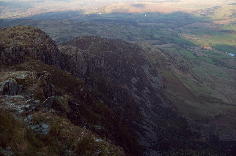
Craig Cwm Llwyd summit, looking west:
Llynnau Cregenen and Tyrrau Mawr. Rhobell wawr also in the centre, looking much less miserable than last week:
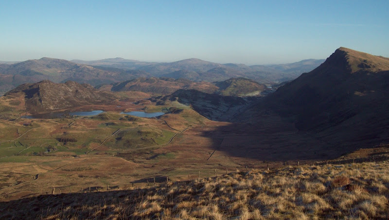
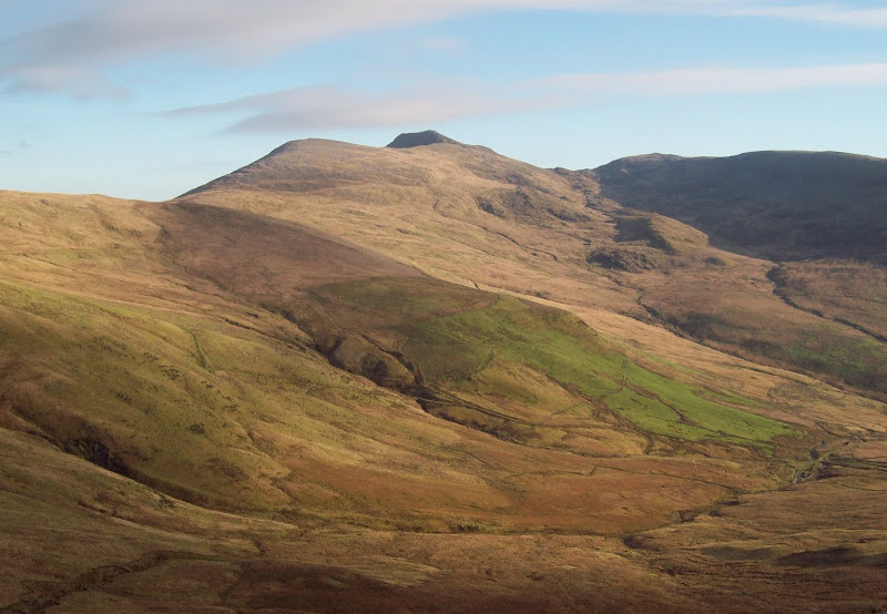
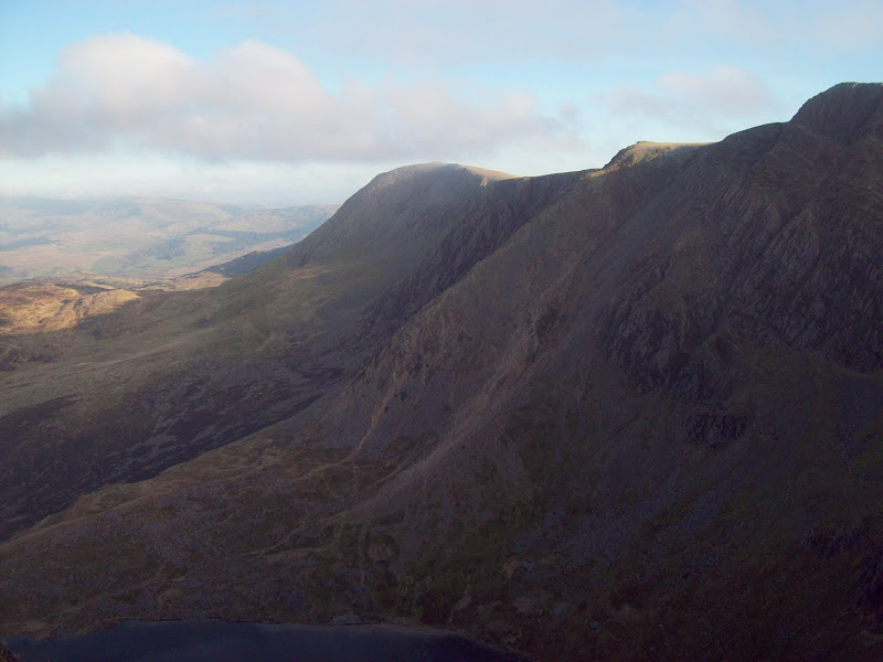
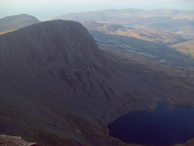
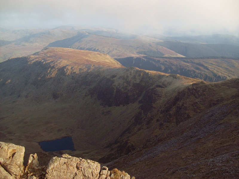
Tyrrau Mawr and Cadair Idris from Craig Cwm Llwyd:
Tyrrau Mawr, Craig y Llyn and Llyn Cyri:
From Craig y Llyn to Craig Cwm Llwyd:

West to Cadair Idris:
Tarrenhendre (was there recently):

Zoom to Barmouth:

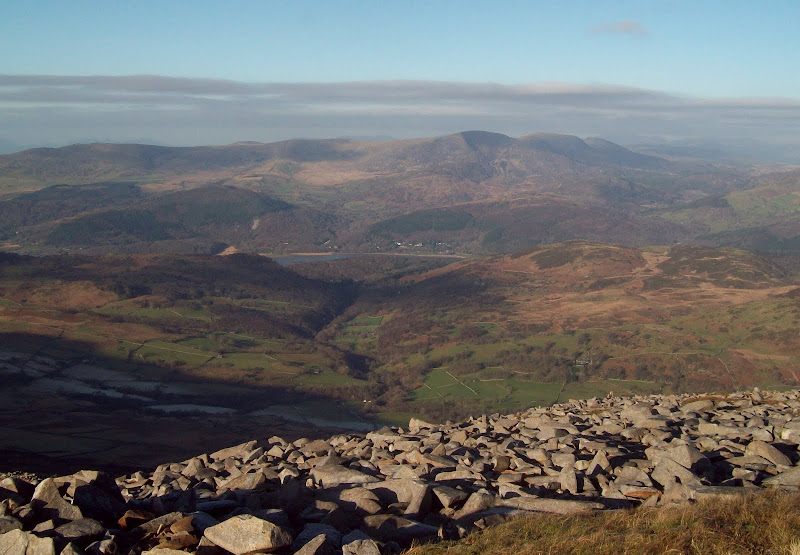
Zoom to Diffwys (Carneddau and northern Snowdonia faintly in background):

Fellrunner on Tyrrau Mawr:

Back to Craig y Llyn from Tyrrau Mawr:

Forward to Cadair and Cyfrwy from Tyrrau Mawr:

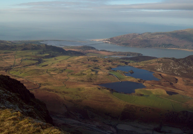
Llynnau Cregenen and Barmouth:
Cyfrwy was jointly my highest unclimbed summit in Wales (along with Waun Fach in the Black Mountains), and it was probably also the roughest and craggiest. On the other hand, it was barely a summit at all, being more of a shoulder of the hill. I started the ascent on the Pony Path, which is the most easily graded route up Cadair. It is also the most boring, as it stays away from the ridge and the edge of the cliffs, so I soon abandoned it and walked up over rocky, grassy terrain to the summit.
Rhinogs from Cyfrwy:
SW down the Dysynni valley:
Back to Tyrrau Mawr:

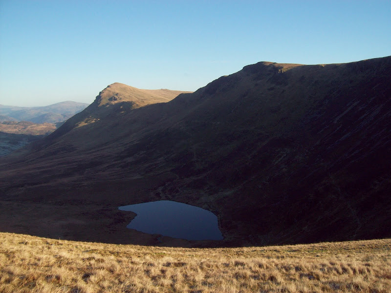
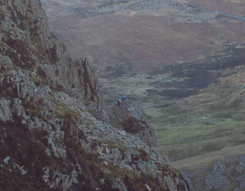
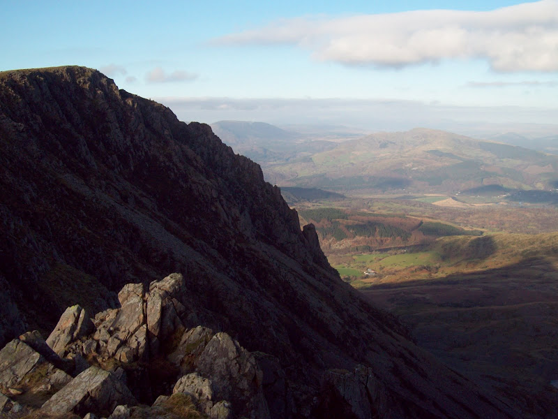
Finally the full grandeur of Cadair was on display, as I was looking down into cwm of Llyn y Gadair - almost like a slightly scaled down version of the cliffs on the Ben. I had a quick look at the top of the Cyfrwy Arete - one of the classic Welsh scrambles (also an easyish climb by a slightly different route) which had eluded me. I thought that today wouldn't be a great day to be on it, with the frost making the north facing rocks rather slippery, but a few minutes later I saw a couple of guys on it.
North face of Cadair:
Top of Cyfrwy arete:
The route to Cadair and Craig Cwm Amarch:
Climbers on the Cyfrwy Arete:

The arete:
Summit of Penygadair:
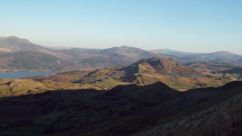
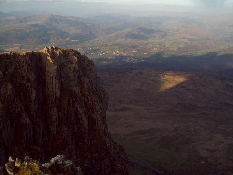
The walk round to Penygadair was impressive and rocky, without ever turning to scrambling. Unfortunately the light wasn't great for photos down into Cwm Cau on the south side, which is possibly even more impressive than the Cwms on the north side.
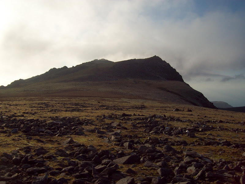
Approach to the summit:

Across Llyn Cau and down the Dulas Valley:
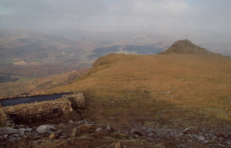
The top was reasonably busy, with a dozen or so folk around. Despite the stunning views, there seemed to be a fair few people having lunch in the summit shelter, which is great in bad weather, but dark and smelly otherwise. After looking around and taking a couple of photos, I made my way towards Mynydd Moel. Cloud was touching the summit, but it wasn't ruining the view too much.
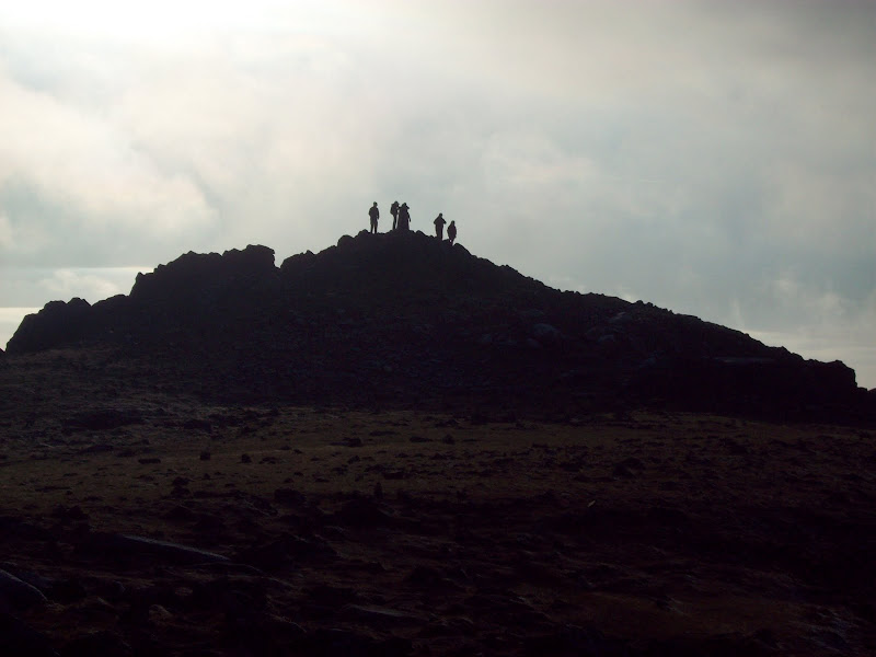
Summit and shelter:
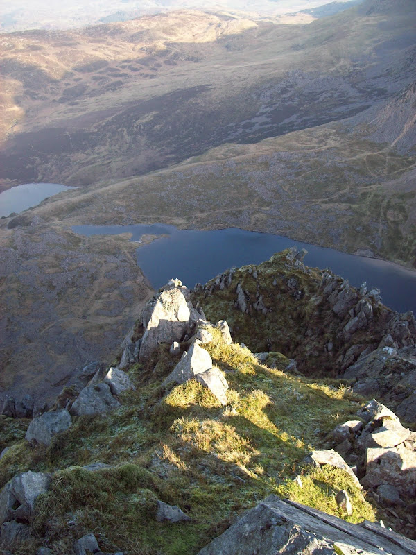
Cyfrwy and Llyn y Gadair:
Down onto Dolgellau:
Back to the summit:
Only fools and masochists use the Fox's Path:
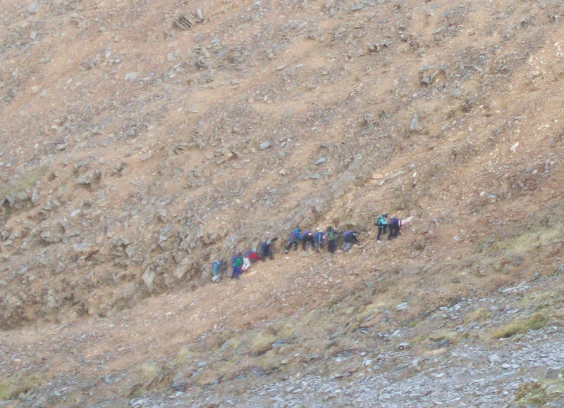
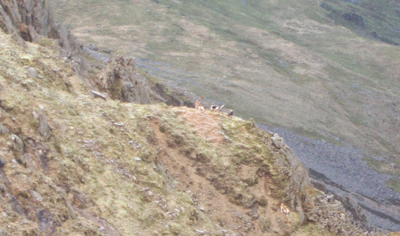
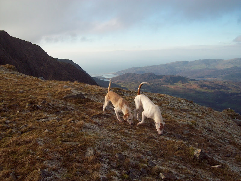
Suddenly a pack of 10 or so working dogs crossed my path and went charging down the cliffs on the north side of the mountain. I could see nobody looking after them, and they seemed to spend some time barking and scuffling about on the steep scree between the cliffs. They then came back up and charged along behind me, seemingly following some kind of scent, and howling a lot. It was one of the most bizarre things I have ever come across in the hills - I have no idea what they were doing.
Crazy dogs:
Forward to Mynydd Moel:

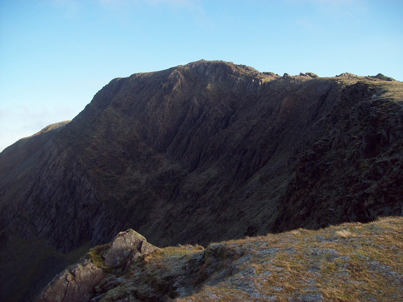
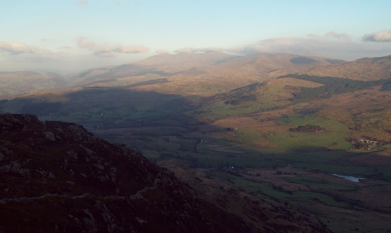
Cadair from Mynydd Moel:

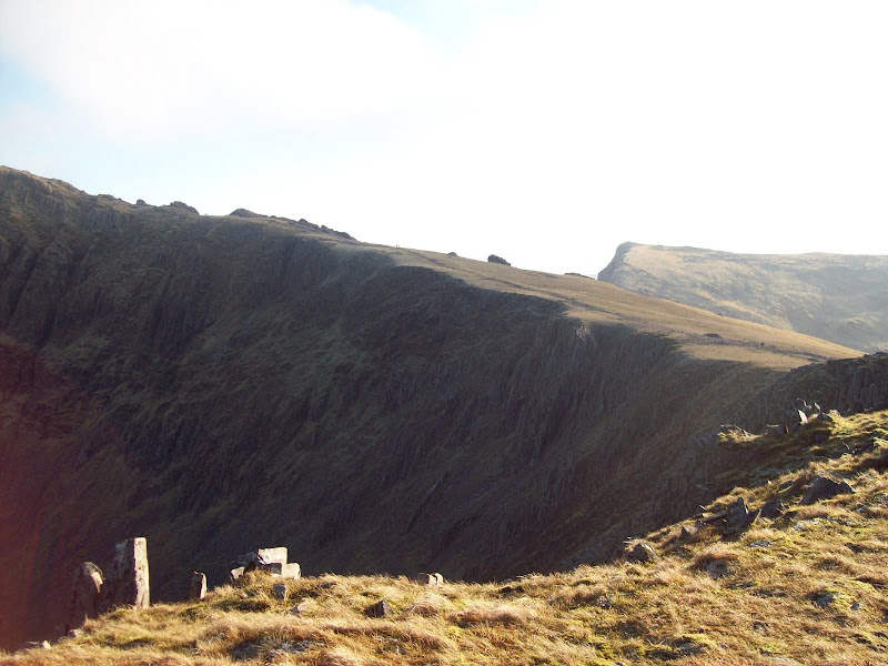
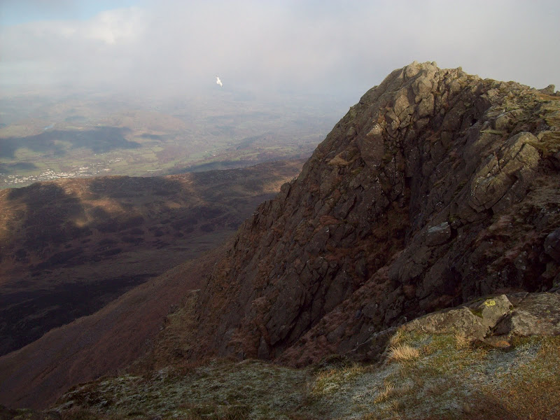
Mynydd Moel summit clifs:
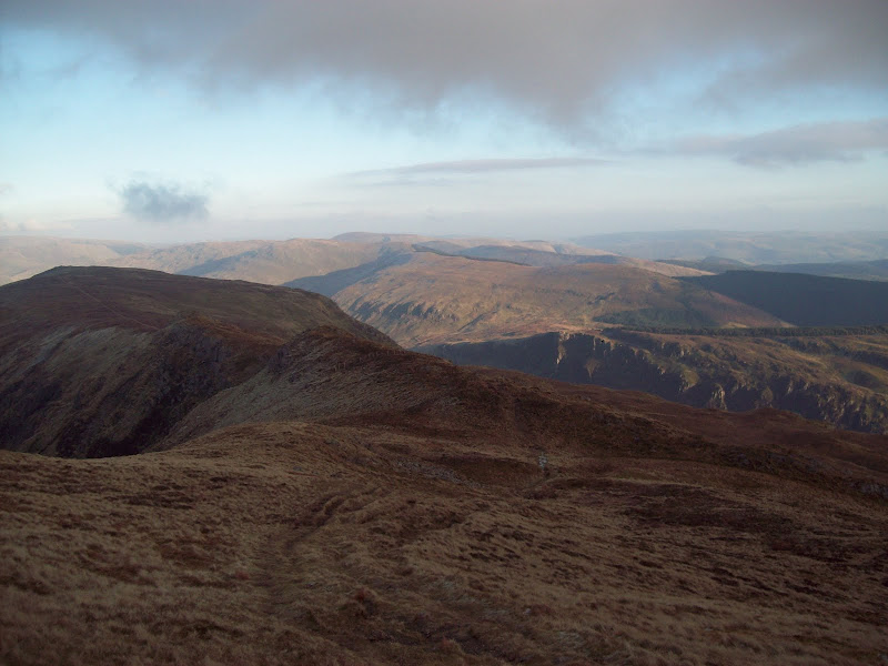
I found a spot out of the wind near the summit of Mynydd Moel, and stopped for a break. Then it was on downwards to Gau Graig, which was steep and then flat and boggy, but had great views off the end. This bit of the mountain is very prominent as you drive along the A487 as it has impressive crags on the NE ridge. I'd almost done it before, changing my mind at the last minute and sticking to the normal circuit from Minfordd.
Llyn Arran and Gau Graig:

Gau Graig and Waun Oer:
Back to Mynydd Moel:

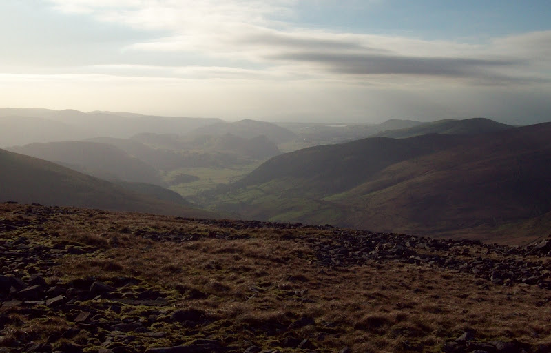
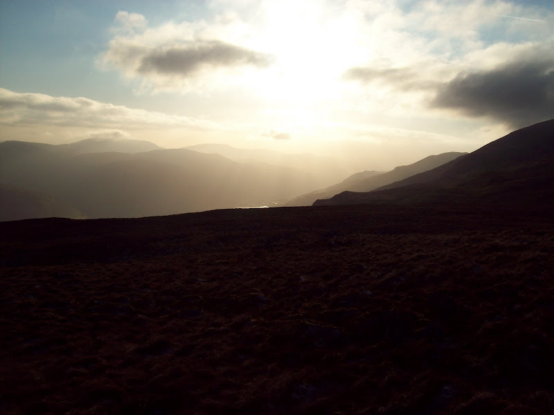
Sunset down Cwm Rhwyddfor:
Following the rough ridge NE, I soon left it to follow a wall north. I was surprised to find a faint path this way, as I hadn't expected this route to be used. It led me down to the bridalway then the tarmac road much more simply than I had been expecting. My plan was to get a bus to Barmouth then get back on the train, and despite being leisurely, I wasn't far off catching the earlier one, meaning I would just miss it and have a couple of hours to kill in Dolgellau.
Waun Oer and Cribyn Fawr:
Down NE ridge of Gau Graig:
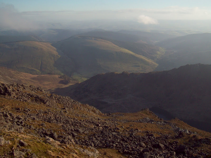
Aran Benllyn and Aran Fawddwy:
More sunset:

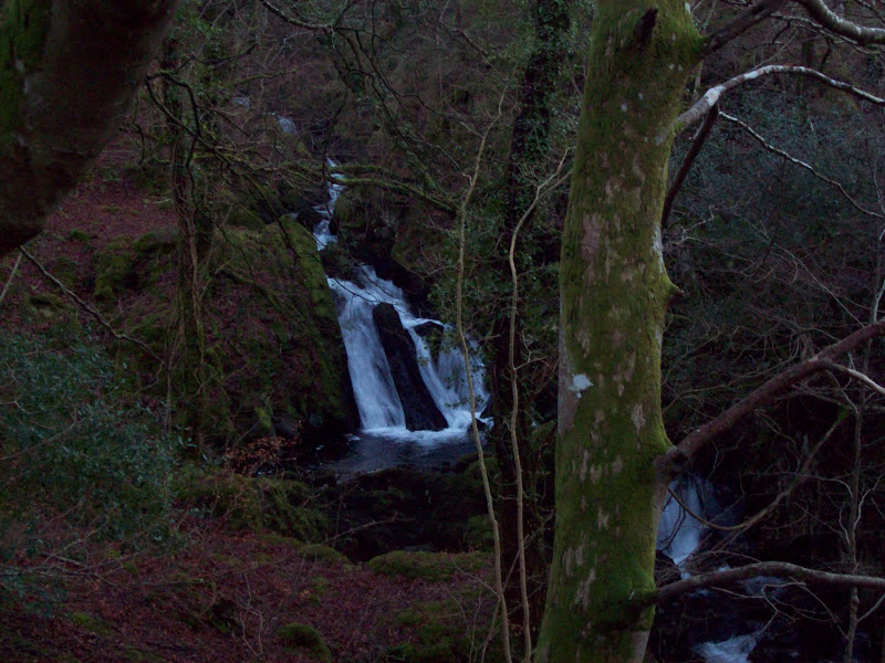
In order to waste some time, I had another stop before ambling down the road to Dolgellau. Cadair had mainly disappeared into the cloud by now, but that didn't matter, as the road was scenic, following a series of small waterfalls down into the main Mawddach valley.
Waterfalls:
In Dolgellau, I discovered that there were loads more busses than I had expected, and I was able to take a bus directly to Machynlleth, allowing me to catch the earlier train home. A great day - up there with the Walkhighland meet as one of my favourite days out on the Welsh hills. Things were only slightly marred by discovering that some b.astard had stolen my bike from Telford station, which really annoyed me

. On the upside, it meant I didn't have to cycle home

