walkhighlands

Share your personal walking route experiences in Scotland, and comment on other peoples' reports.
Warning Please note that hillwalking when there is snow lying requires an ice-axe, crampons and the knowledge, experience and skill to use them correctly. Summer routes may not be viable or appropriate in winter. See winter information on our skills and safety pages for more information.

Beinn a'Chochuill & Beinn Eunaich

Beinn a'Chochuill & Beinn Eunaich


Postby jwramsay » Thu Feb 23, 2012 9:18 pm

Route description: Beinn a' Chochuill & Beinn Eunaich

Munros included on this walk: Beinn a' Chochuill, Beinn Eunaich

Date walked: 14/08/2010

Time taken: 7 hours

Register or Login
free to be able to rate and comment on reports (as well as access 1:25000 mapping).

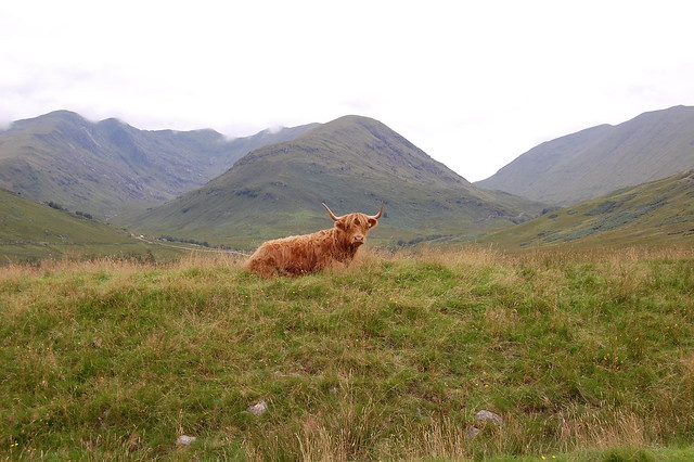
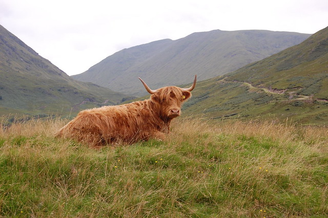
Saturday 14th August 2010 and I'm out on my own to bag 2 munros. I park in the farmers field as the "car park" left me with 1 wheel off the ground. I walked along the hydro path all the way to the High Bealach between Stob Diamh (which I did when I climbed Cruachan) and Beinn a'Chochuill. Reasonably steep climb with no path got me to the summit of Beinn a'Chochuill. Then its a ridge walk and a decent to the bealach with Beinn Eunaich. Climbed that and then an easy stroll for a bit until *that* descent! Very steep down the side, and back to the path. Glad to see the farmer and his Highland cows left my car alone!


our_route.gpx Open full screen  NB: Walkhighlands is not responsible for the accuracy of gpx files in users posts


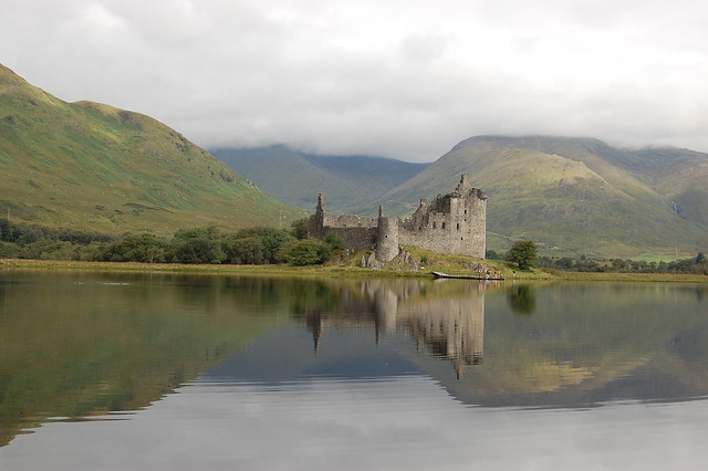
Photostop at Kilchurn Castle on Loch Awe. Behind and left is Chochuill, behind and right is Eunaich
Image

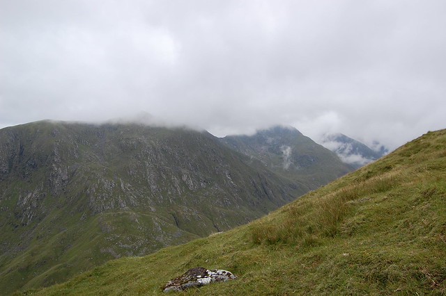
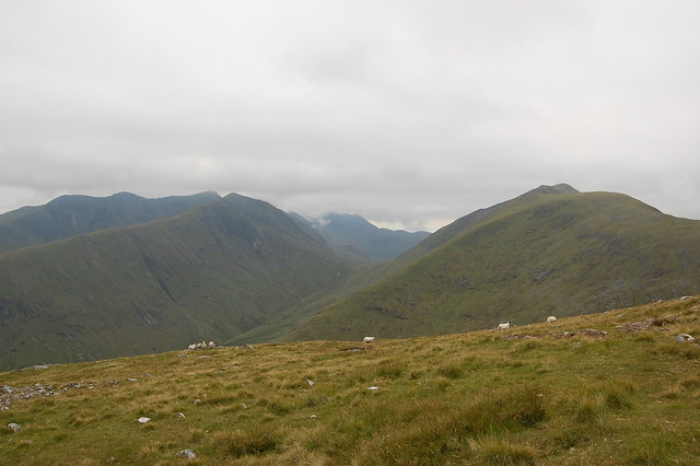
A wee look over left to Stob Diamh and Ben Cruachan
Image

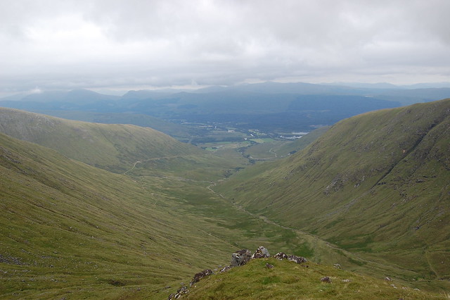
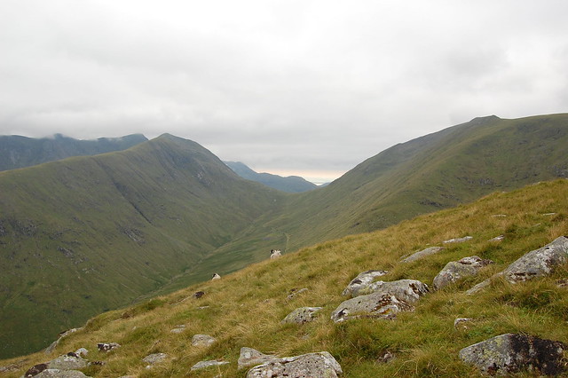
A look back down the valley I'd just traversed. path on left.
Image

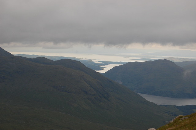
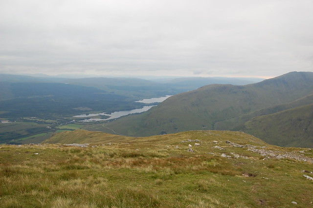
Now high enough up to see the Connell Bridge at the head of the River Etive
Image

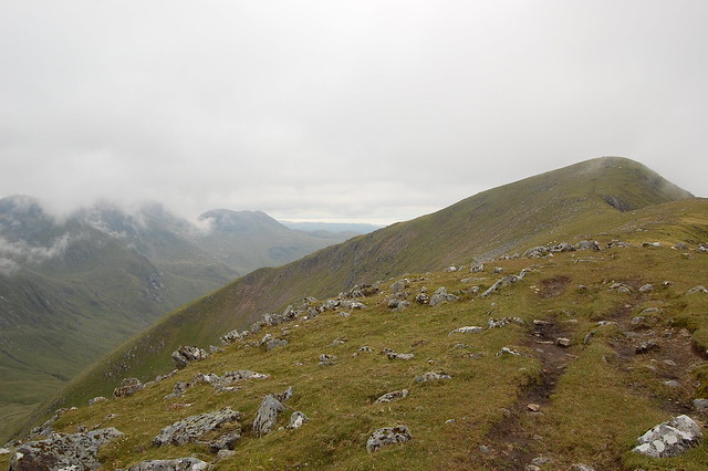
On the descent from Chochuill along the broad ridge
Image

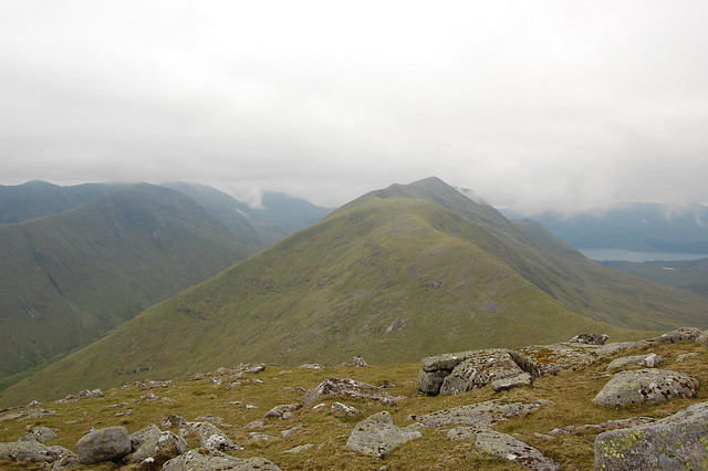
And now on the way up Eunaich
Image

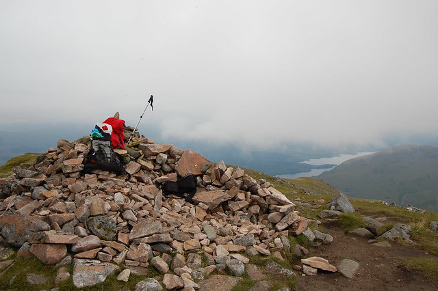
Summit of Beinn Eunaich
Image

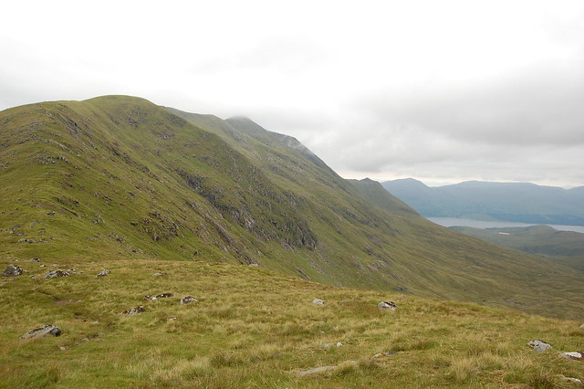
Looking back at Chochuill from Eunaich
Image

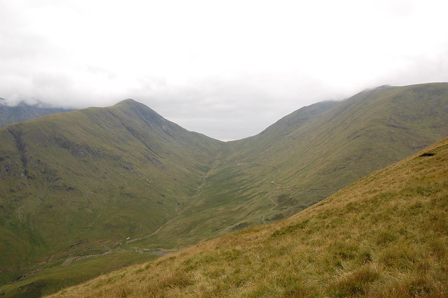
I walked right up to that Beallach and then right turned and up the steep slope of Chochuill
Image

Looking ahead at the gentle descent down to Loch Awe
Image

Another look back to that high Beallach - Chochuill to the right and the sea in the horizon
Image

This shot clearly showns that well defined path that I walked up the beallach on
Image

And back down at the farmers field we see the Dalmally horseshoe left and Chochuill right
Image

Finally, a view of the rover track that takes you to the Beallach and up right for Beinn a'Chochuill
Image

A wee video:
[youtube]http://www.youtube.com/watch?v=zDZQFN2cX1o&hd=1[/youtube]
User avatar
jwramsay
Mountain Walker
 
Posts: 304
Munros:109   Corbetts:8
Fionas:4   Donalds:3
Joined: Oct 11, 2010
Location: Wishaw

Re: Beinn a'Chochuill & Beinn Eunaich

Postby mrssanta » Thu Feb 23, 2012 10:48 pm

Very clear and helpful report that and looks like it wasn't too bad a day either
User avatar
mrssanta
Mountain Walker
 
Posts: 3132
Munros:281   Corbetts:12
Fionas:3   
Sub 2000:12   Hewitts:43
Wainwrights:41   Islands:13
Joined: Jul 18, 2011
Location: north yorkshire moors

Register or Login
free to be able to rate and comment on reports (as well as access 1:25000 mapping).


Can you help support Walkhighlands?


Our forum is free from adverts - your generosity keeps it running.
Can you help support Walkhighlands and this community by donating by direct debit?


Return to Walk reports - Scotland

Who is online

Users browsing this forum: brianwr, David232, KevT, shawshank02, tubey and 95 guests