free to be able to rate and comment on reports (as well as access 1:25000 mapping).
Cycling stats: 45km, 725m ascent, 3 hours 30 minutes.
Initially I had planned to visit the Black Mountain in the western Beacons this weekend, but the youth hostel I wanted to stay in was not yet open for the season. Instead, I looked at doing some of the outlying and previously missed summits. Waun Rydd and Cefn yr Ystrad previously looked like they might work as quick stand-alone ascents at the end of a longer day, but in the end I couldn't see that happening realistically. They also made for a rather long daytrip by bike from Abergavenny, so I decided to make a more relaxing weekend of it. I booked a bed in Danywenallt youth hostel for Saturday night, and spent Saturday visiting some of the lower outliers of the Black Montains that had looked interesting on my previous visit a month back.
I took the early train to Abergavenny, which meant having to cycle to Telford at 6:20 am. I was rather surprised to find it light at this time - I've obviously avoided early starts for too long!
Cycling route:
At Abergavenny, the sun was shining and it looked like being a fine day. Still a little chilly, but I stripped down to shorts and t-shirt for the cycling, as there was a big hill coming up shortly. I wasn't sure how I was going to cope today, as I still had the tail-end of a cold. Still I had a number of sub 2000 summits to choose from on my roundabout cycling route to the youth hostel, and I was fairly flexible about which ones I would do.
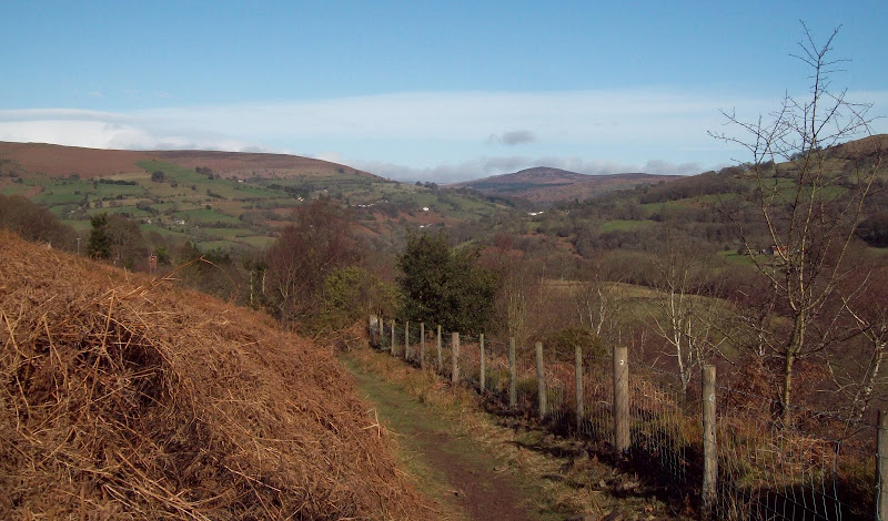
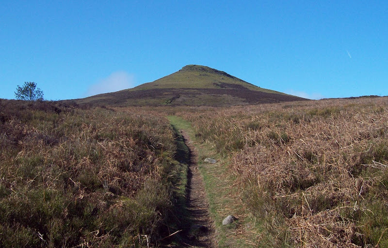
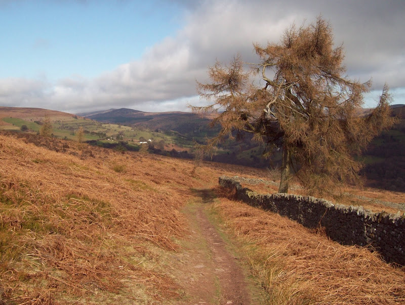
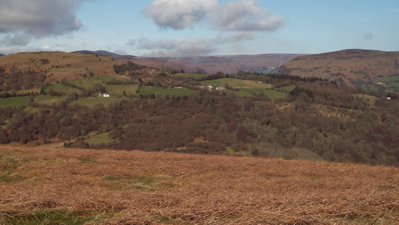
Following my route from a month previously, I cycled N out of Abergavenny towards Pantygelli. The hill and heavy rucksack had me sweating in no time. I turned off towards Forest Coal Pit and locked my bike up at the Sugar Loaf car park just before 10am. The Sugar Loaf had featured prominently in any views I had been able to see last time I was in the area, so it looked like a good hill to start on.
~~~~~~~~~~~~~~~~~~~~~~~~~~~~~~~~~~~~~~~~~~~~~~~~~~~~~~~~~~~~~~~~~~~~~~~~~~~~~~~~~~~~~~~~~~~~~~~~~~~~~~
First WalkSub 2000's: Sugar Loaf, Bryn Arw
Date walked: 10/03/2012
Time taken: 3 hours 10 minutes
Distance: 11km
Ascent: 620m
Weather: Sunny, a little hazy, cold breeze higher up.
I started following footpaths south towards the farm of Blaenawey rather than the suggested route, as I planned to do some sort of circuit. The footpaths became vague, and I was soon climbing over fences, before emerging on one of the long ridges that extends south from the summit. The going was dry, and the weather completely different to my last visit to the area, when it had snowed a fair bit. This time it felt like summer was on the way

. There were good views across to Ysgwryd Fawr, which looked sharp, pointy and fun. Definitely an objective if I'm back in the area again. I was rather surprised early on to hear some scampering and scurrying in the bushes, then have a grey squirrel launch itself right across my path, before charging over the wall on the other side.
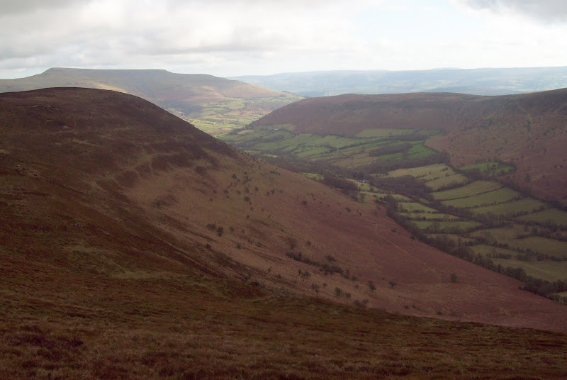
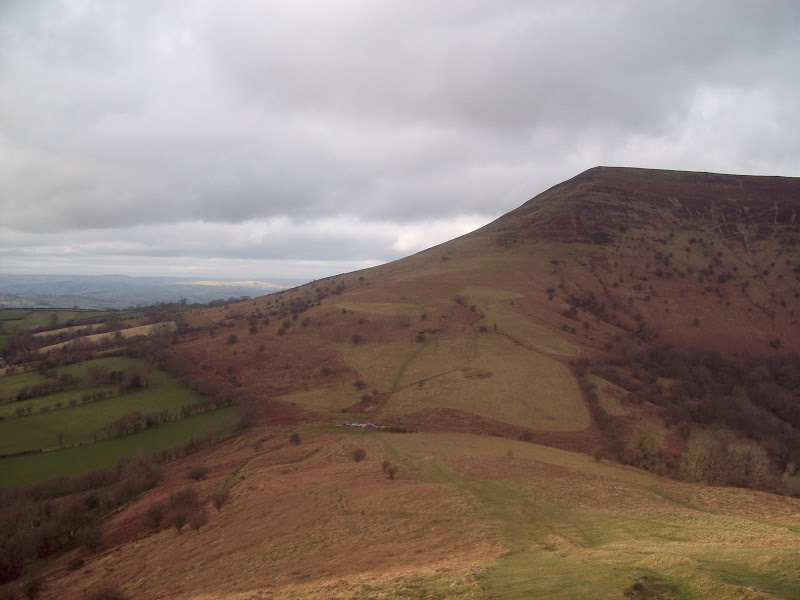
Crug Mawr and Hatterall Hill from near Forest Coal Pit:
Ysgwryd Fawr and the end of Bryn Arw:
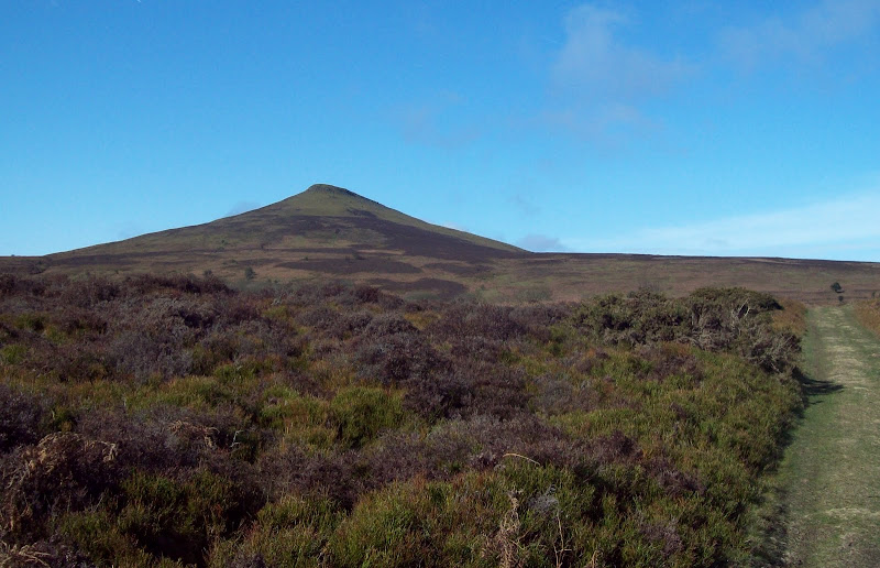
Once on the ridge, the summit was very prominently in front of me. Despite missing out on the 2000ft mark by a few meters, Sugar Loaf is immensely popular, and I followed good paths right up the cone of the summit. There were a fair few people around, but due to the number of possible paths, I only passed a couple of them.
Sugar Loaf:
Across Bryn Arw into England:
That summit again:
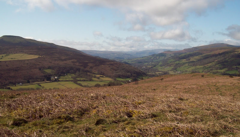
NE to Chwarel y Fan and Black Mountain:
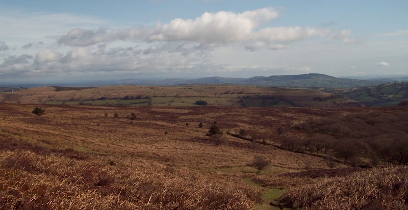
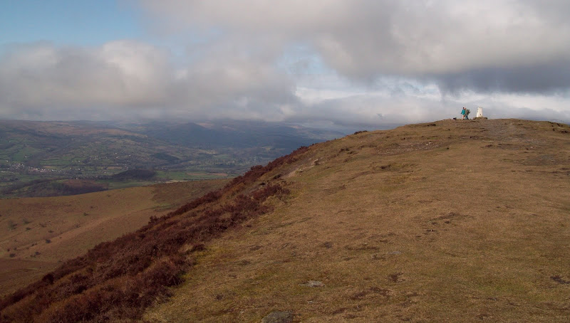
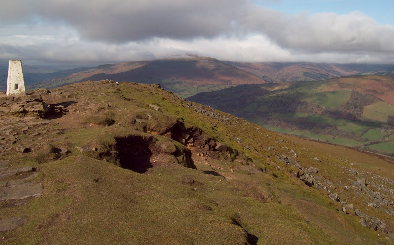
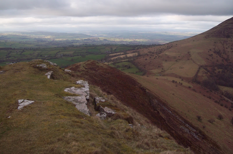
A steep pull to the trig point, where it was very breezy. I took some photos but didn't hang around long. The weather was much poorer further west, making me glad I hadn't been able to get to the Black Mountain. I dropped off the western end of the summit, crossing a short section of rocky outcrops. I suppose you could just about call it an arete.
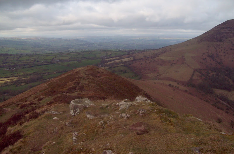
On the summit, looking down the Usk Valley:
Across Bryn Arw, Ysgwryd Fawr and Garway Hill into Herefordshire:
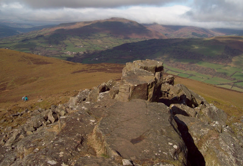
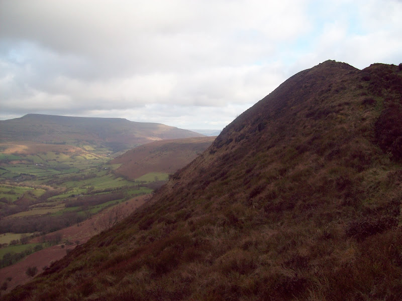
Pen Cerrig-calch:
Black Mountains answer to the Aonach Egach

:
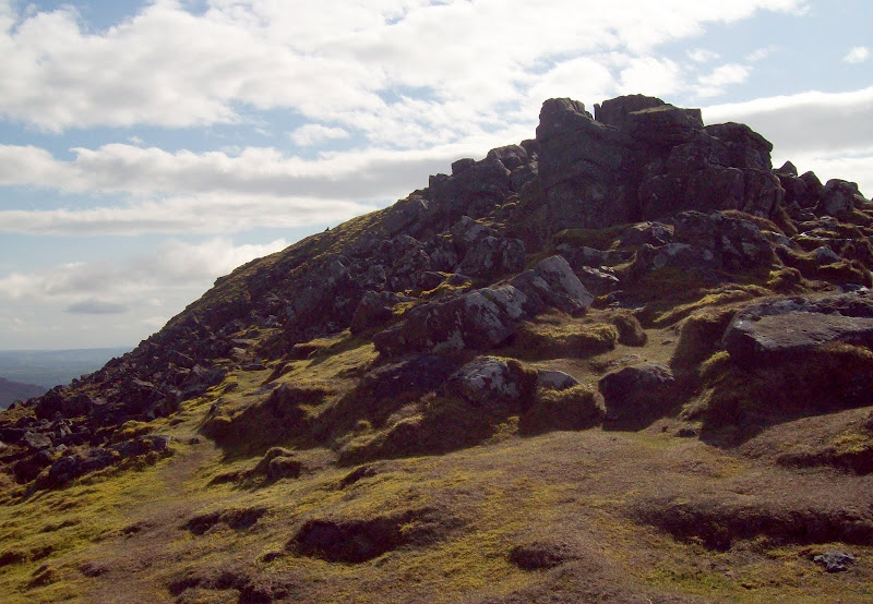
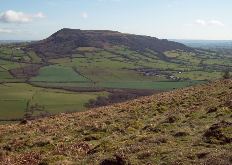
Once over the blocky section I dropped to the north and doubled back towards my start point. Instead of going back the way I came, I took the more prominent path towards Forest Coal Pit, having a break once I got out of the wind. I was planning to continue my little circular walk over the adjacent Marilyn of Bryn Arw, as the weather was so good. It looked fairly insignificant, which suited me fine as I was trying to take it a bit easier today.
Next stop Bryn Arw:
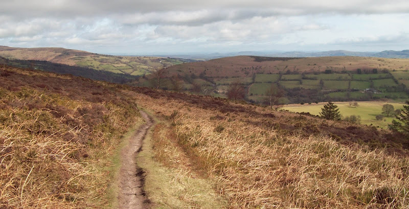
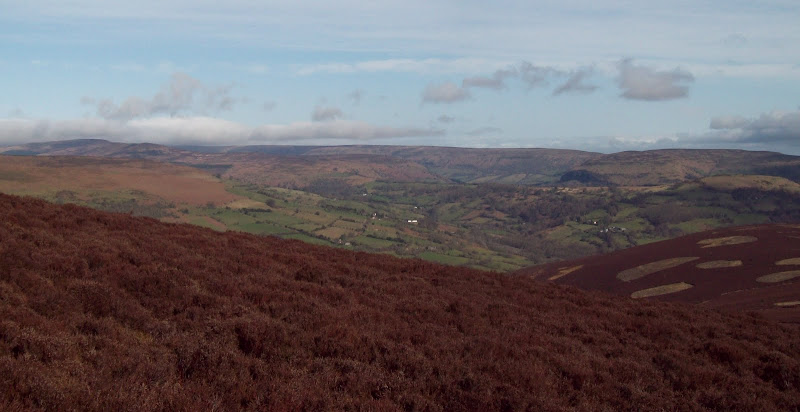
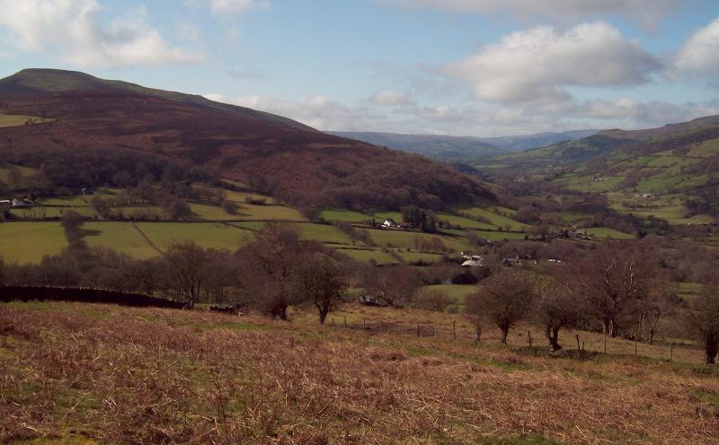
Vale of Ewyas:
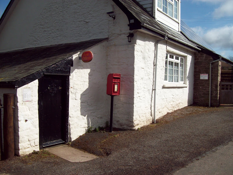
I hit the road and turned left, passing a house which had a post office in a lean-to shed. A right soon afterwards and I was following a driveway, then a farm track around the northern end of Bryn Arw. I used a handy footpath to get me on the summit ridge. There were great views back to the west.
Tiny post office at Forest Coal Pit:
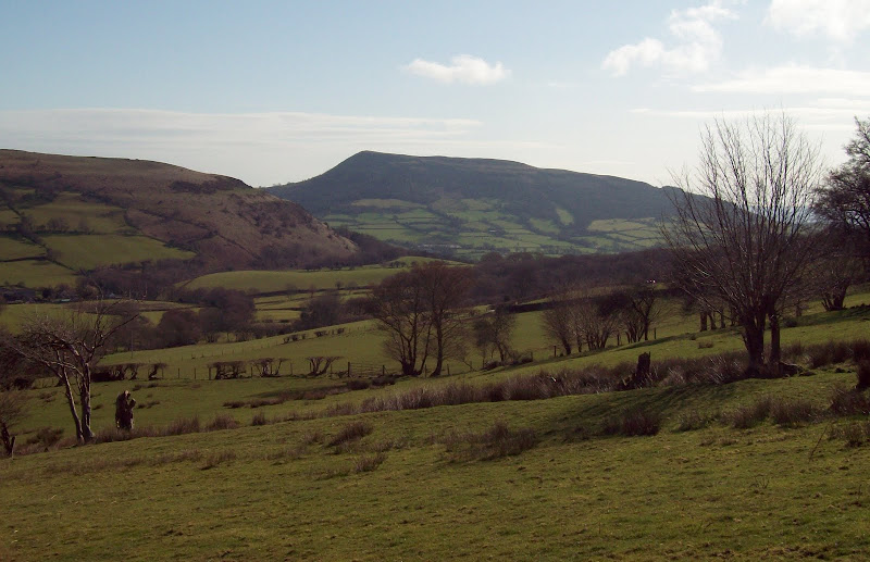
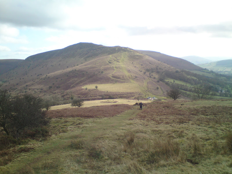
West down the Gwyrne Fawr. Sugar Loaf on left, Table Mountain/Pen Cerrig-calch on right:
The broad summit ridge made for lovely walking, being dry and having short turf. There were 3 potential summits, although the first two were covered in gorse. I had another break on the 3rd one, with a great view to Ysgwryd Fawr. Unlike Sugar Loaf, I didn't see anyone else on Bryn Arw, and the conditions were much calmer. A relaxing spot indeed.
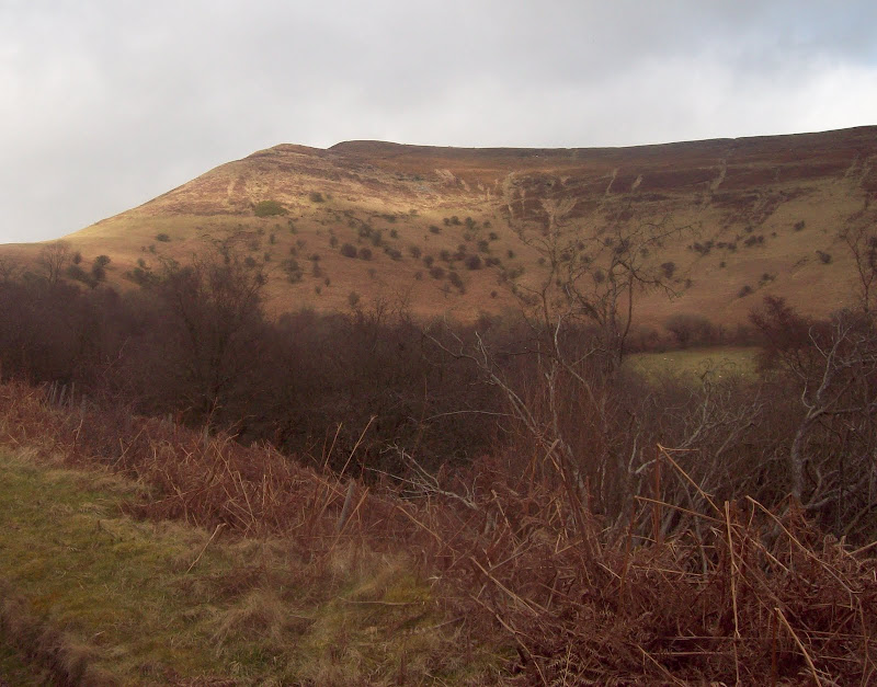
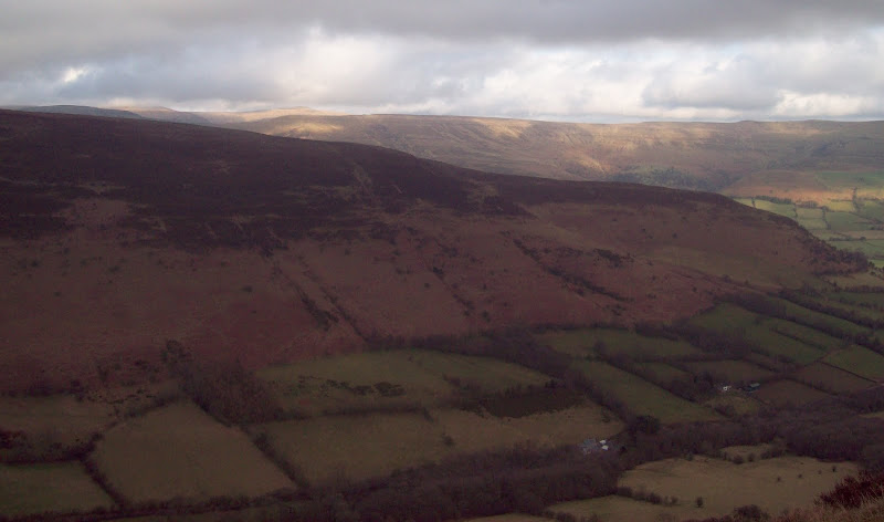
Hatterall Hill and Black Darren:
Ysgwryd Fawr:
I took a line down the western slopes and picked up a footpath following the top wall around the good grazing. Once I crossed into the fields on the downhill side, the footpath signs disappeared, and just like on the way up Sugar Loaf, I ended up climbing fences again

. Down at the farm of Middle Bettws, there were some homemade signs, but they seemed to be misleading, taking me on a merry tour around the fields behind the house. In the end I just went through a gate and walked down the drive. 5 minutes of tarmac saw me back at the bike.
Next up was a pleasant (if slightly hilly) cycle along almost deserted roads to Crickhowell. I had done some of this route on my previous visit, and was glad not to be skating around on ice and snow this time. The A40 west of Crickhowell was less fun though, being quite busy on such a lovely Saturday. Soon I turned off onto the A479, which was still a trunk road, but much quieter. Tiring a bit, I had a rest in a layby just short of Waun Fach.
In Waun Fach, I turned off onto the minor road which led up Cwm Sorgwm. This was very steep in places, and in the end, I pushed up the last half km to the top of the pass.
Mynydd Troed from Cwm Sorgwm:
~~~~~~~~~~~~~~~~~~~~~~~~~~~~~~~~~~~~~~~~~~~~~~~~~~~~~~~~~~~~~~~~~~~~~~~~~~~~~~~~~~~~~~~~~~~~~~~~~~~~~~
Second WalkSub 2000's: Mynydd Troed, Mynydd Llangorse
Date walked: 10/03/2012
Time taken: 1 hour 45 minutes
Distance: 6km
Ascent: 430m
Weather: Overcast with sunny spells, cool breeze higher up.
Suddenly at the top of the pass it was 3pm and I wondered where the day had gone. There was still a patchwork of sun on the hills to the east, but there was now more cloud around. If Sugar Loaf is a little short of 2000ft, Mynydd Troed is just a smidgen away, being 1999 feet high according to my old road map. It looked quite steep and prominent from the pass, and I decided to head straight up it from here. An earlier plan to do a circuit of Cwm Sorgwm from lower down was shelved, as I couldn't be bothered (it probably would have been a more interesting route though).
Mynydd Llangorse from Mynydd Troed:
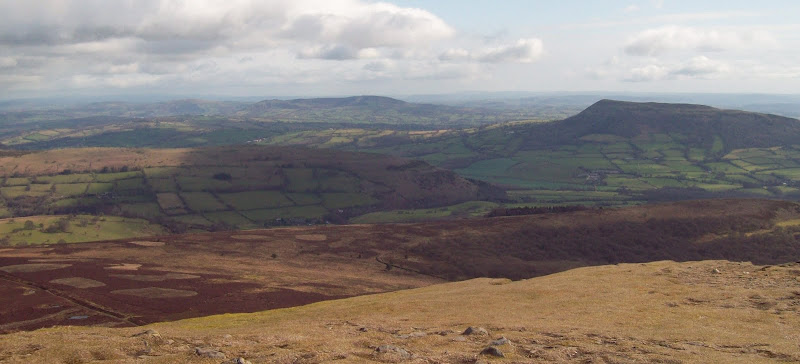
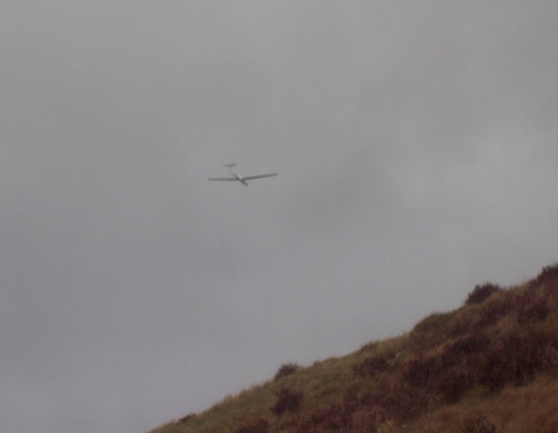
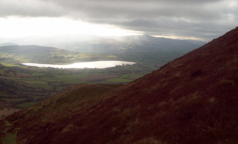
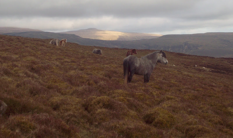
Having locked up the bike, I went straight up. I was now getting fed up of my heavy rucksack, so I ditched it under a bush then carried on. Higher up, I crossed a path which took a less steep line, and followed this through a herd of ponies. A glider was swooshing around periodically. A little breezy on the summit again, but good views, particuarly to Llangorse Lake, and to where Pen y Fan was emerging from the cloud.
Glider:
Llangorse Lake and Pen y Fan:
Cwm Sorgwm and Pen Allt-mawr:
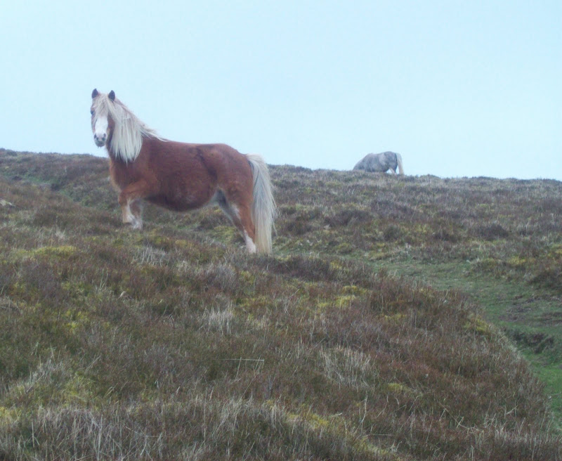
Mynydd Troed ponies (with Pen y Gadair Fawr in the background):
Back down a slightly more direct route, rejoining my ascent before picking up my bag. I crossed the road and started up the other side. Mynydd Llangorse was a fair bit lower, but set back from the road a bit, so probably took slightly longer.
Mynydd Troed from Mynydd Llangorse:
Again I ditched the rucksack early on. This route was more interesting, as once at the top of the steep section, the crest of the ridge became narrower and stony, with a nice drop off to the left. Pleasant walking led me to the featureless summit plateau, where I crashed around in heather and the odd bit of peat looking for the high point. I couldn't decide between a couple of heather tussocks. Amazingly, that was the only part of the day that was wet underfoot.
Along the steep edge of Mynydd Llangorse to Pen Allt-mawr:
The edge and N to Mynydd Epynt:
The trig point was slightly lower, but may have had better views south. I didn't bother visiting it in the end, as my stomach was now thinking about dinner, and I still had about 15km of cycling to do. I was back at the bike at about 4:45pm.
Across Mynydd Troed to the Black Mountains:
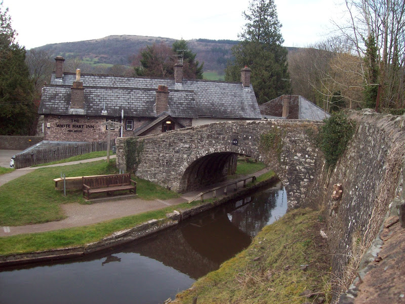
I enjoyed the downhill, but missed a shortcut and ended up passing through Llangorse. Not to worry. While there was the odd bit of ascent, the road was mainly flat and downhill all the way to Talybont on Usk. Even the A40 wasn't too bad with gravity on my side!
Canal at Talybont on Usk:
I followed the old Brynoer tram route up to the youth hostel, although in retrospect, using the tarmac road on the other side of the valley would have been quicker. I was tired by now, so even pushed the bike up much of it. So much for taking it easy!
I got to the youth hostel just before 6pm. Initially I had thought it to be a bit steep at £21.50 a night for none YHA members, but it was very pleasant. There was no self-catering area so I ordered chilli and chocolate fudge cake, not to mention enjoying a couple of local beers
(
Link to day 2 report)
