free to be able to rate and comment on reports (as well as access 1:25000 mapping).
Hewitts: Maesglasau, Waun Oer, Cribyn Fawr, Pen y Brynnfforchog, Glasgwm, Gwaun y Llwyni, Aran Fawddwy, Pen yr Allt Uchaf.
Date: 10/06/2012
Distance: 35 km
Ascent: 2000m
Time taken: 10 hours 50 minutes
Weather: Warm and calm, with some strong sunshine and occasional showers.
…the Welsh Corbetts, that is

I hadn’t really given much thought to the so-called ‘Welsh Corbetts’ as they are all included in the Hewitt list by definition. It only occurred to me the day before that this was the last one – an even longer journey than the Munros, given that Moel Siabod at age 8 was my first (there are only 14 of them)!
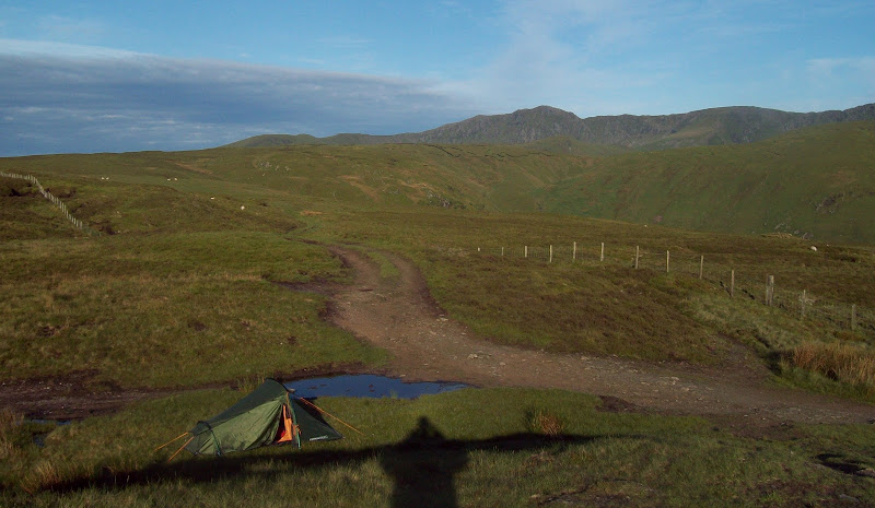
I was woken by strong sunlight, and got out of my tent to take in the view. Pretty spectacular! A quick breakfast of weetabix, pain au chocolat and a cup of tea and I was packed up and driving towards my starting point by 7:30am.
Aran Fawddwy from my Bwlch y Groes campsite:
North from Bwlch y Groes to Moel Llyfnant and Arenig Fawr. Snowdon in the far distance:

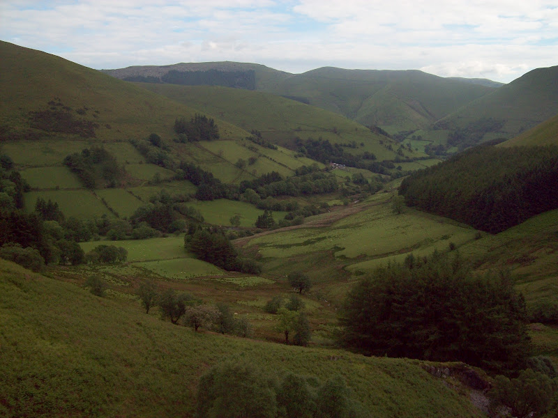
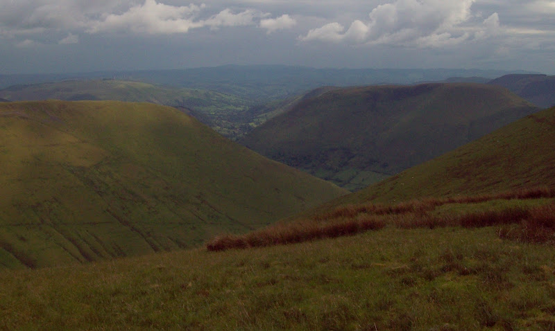
Looking down the upper Dyfi Valley from Bwlch y Groes:

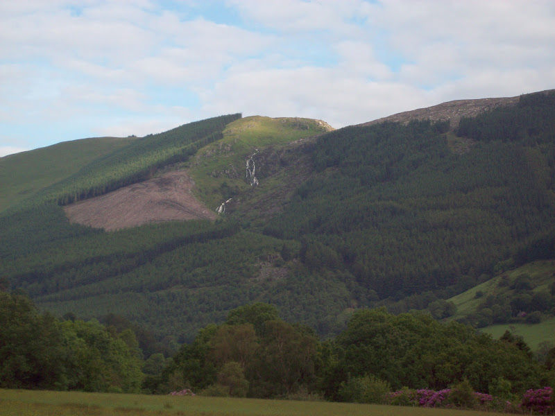
I parked on a minor road just off the A470 about a mile east of Dinas Mawddwy there was a stub of old road there that made it wide enough for ample parking. This is one of the first routes I had planned when I discovered that I would be moving down south, before realising how many opportunities would be available using public transport. Like yesterday, it took in a couple of impressive waterfalls. The first was visible from the main road, but the next one required some walking to see properly.
Waterfall on the flank of Pen y Brynnfforchog:
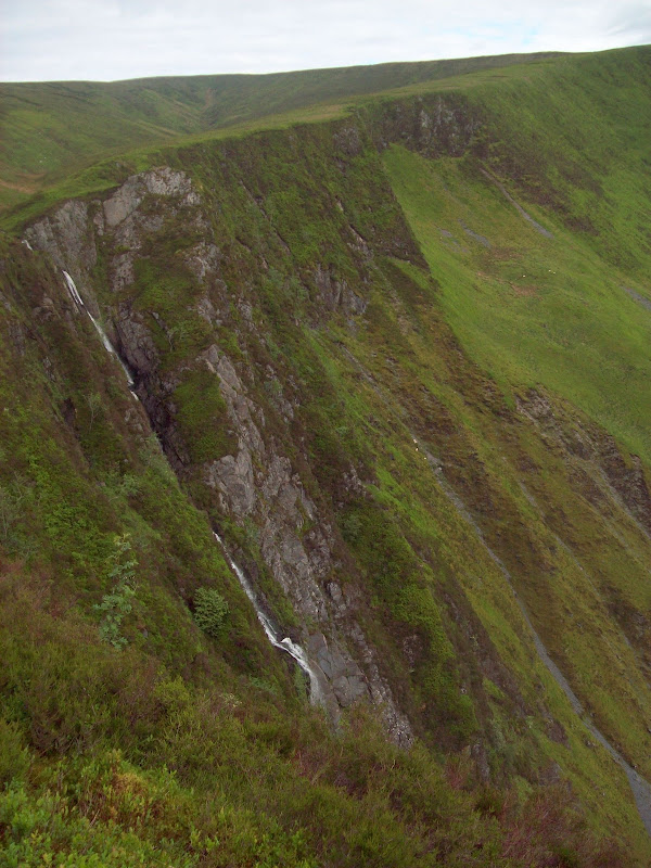
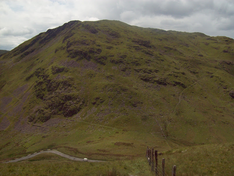
A minor road led to Tyn’-y-Braich farm, which I left to take a rising path heading for Bwlch Siglen. The waterfall was soon in view, as well as an impressive headwall of crags. The path zigzagged steeply up to the col, and was soon at the forest edge. The ridge above had a good path climbing through heather and bilberry to the edge of Craig Maesglase.
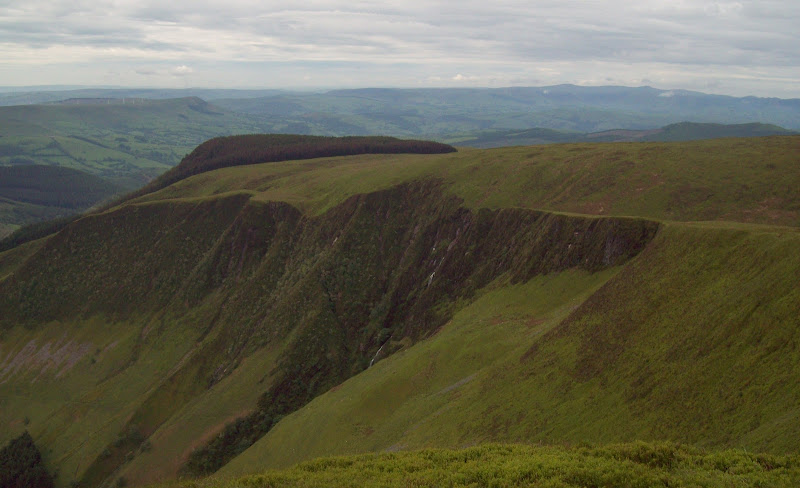
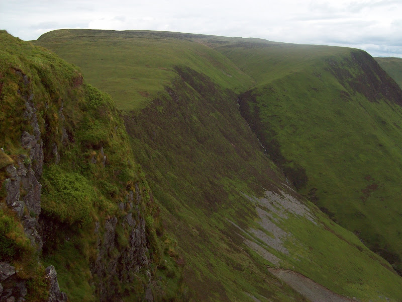
Craig Maesglase and waterfall:
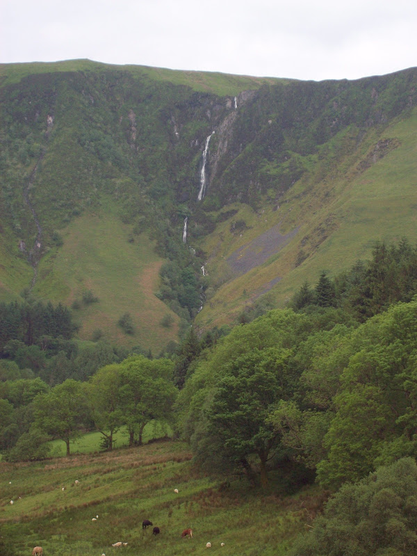
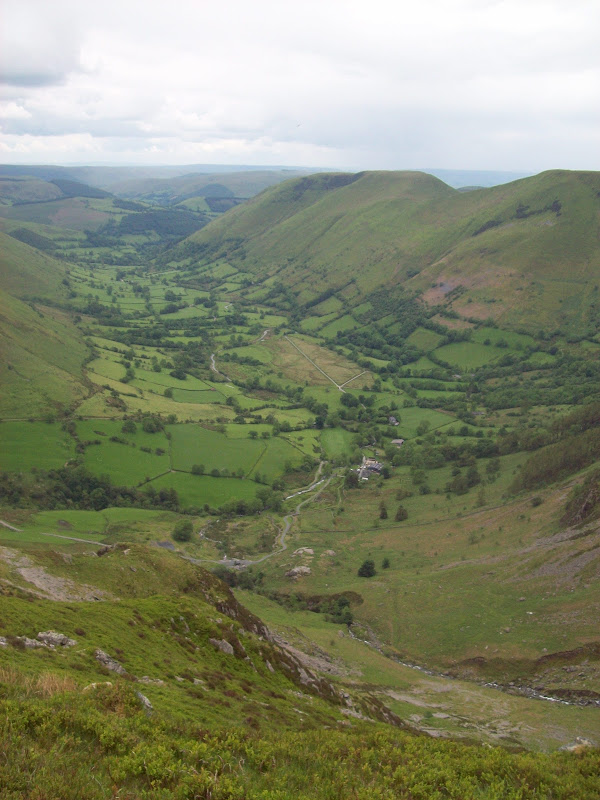
Cwm Maesglase:
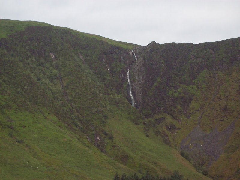
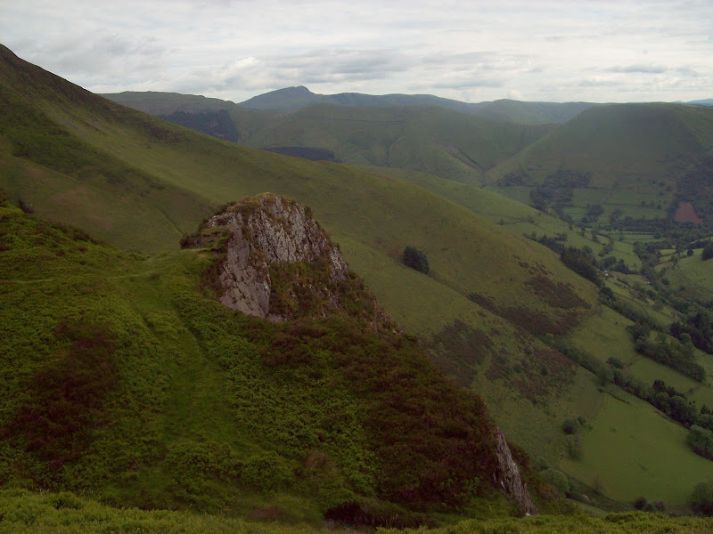
A good clifftop stroll led down slightly to cross the stream right at the top of the falls – they were pretty abrupt. There was an airy pinnacle on the far side which I was able to climb onto to take a few shots. Well worth the less direct route of ascent.
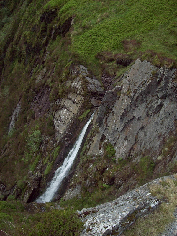
The waterfall again:
Handy waterfall viewing pinnacle. Aran Fawddwy in the background:
Down the falls:

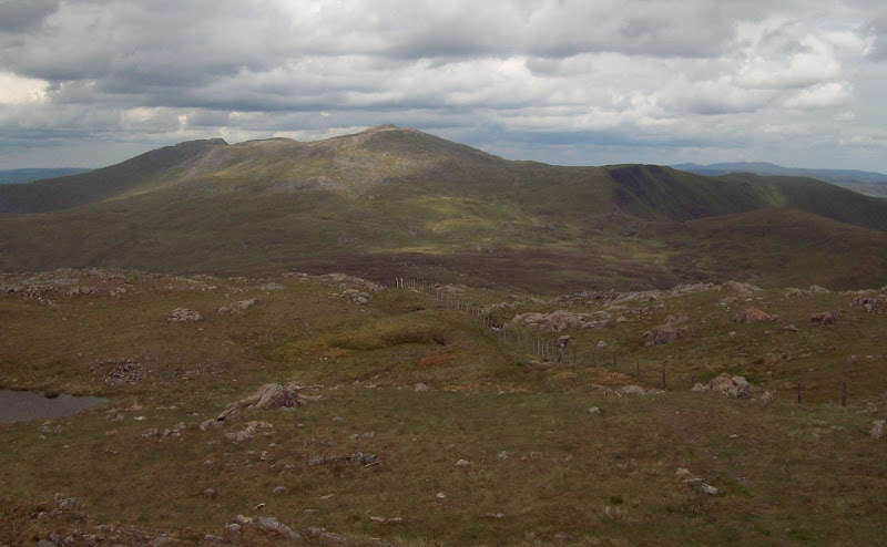
South along Craig Maesglase:
An easy path led onward along the edge of the cliffs to the summit, with good views all the way. The summit itself wasn’t much to get excited about, being flat, peaty, and one of two undistinguished bumps, but overall it was a good hill. The view along to Cribyn Fawr across the intervening bumps was quite enticing too, reminding me a lot of the ridge connecting the two main summits in the Tarren hills nearby. Finally Cadair Idris was beginning to rear up behind.
North to Northern Snowdonia. Snowdon now in the cloud (on the right):
Along the ridge to Craig Portas. Tarrens and Cadair Idris in the background:
Cadair Idris from Maesglasau:
The walk between the summits was easy, and I was surprised to find a short section of boardwalk covering a boggy section. I hadn’t thought of these hills as being particularly popular, and had yet to see anyone else on them.
Boardwalk on Craig Portas:

I had a quick break on Craig Portas, and was suddenly doing the Highland Fling – my first midges of the year! At that point, there wasn’t a breath of air and it was quite warm and overcast, so perfect conditions I suppose.
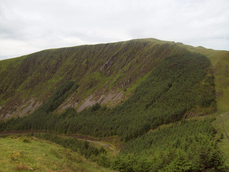
I was looking across to the crags and waterfall on Cribyn Fawr, which on the map is almost a copy-and-paste of those on Maesglasau. In reality they were much less impressive though.
Cliffs and waterfall on Cribyn Fawr:
SW to the Tarrens:

A quick re-ascent to the Cribyn Fawr plateau, and I had the slightly annoying outlier of Waun Oer to take in. To be fair, this was another enjoyable hill with great views of Cadair Idris, and I was only annoyed because I would have to retrace my steps to it. The col was steep on both sides, with the path oddly on the forestry side of the fence rather than the open side.
Rhinogs from the traverse round Cribyn Fawr:

Waun Oer:
I retraced my steps and headed for the summit of Cribyn Fawr. I had logged this before, having walked up here while on a multi-day cycle tour in 1997. However I wasn’t sure if I had reached the proper summit. The view back along the fenceline with Cadair Idris standing prominent confirmed that I had though, as I remembered taking a photo of it. In fact I had also been orienteering here, so might have crossed the summit then as well.
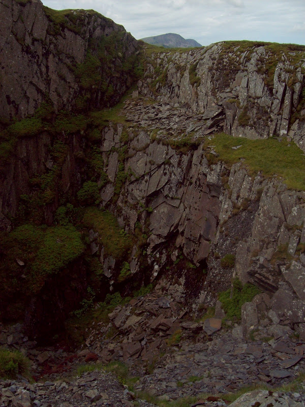
Down the ridge to Cribyn Fach, and I passed some quarry workings on the plateau. I had forgotten about these. Walking through a cut in the rock brought me to the edge of a big hole.
Quarry on Cribyn Fach:
Cadair Idris from Cribyn Fach:
I followed the ridge towards the A470 at Bwlch Oerddrws, picking up one of the old quarry paths that zigzagged down the nose. This was a great piece of engineering, a bit like some of the stalkers paths in the Mamores. I hit the road for midday.
There was a pretty brutal ascent on the north side of the road, although this could be avoided by traversing to the left. I tend to prefer my ascents to be short and steep though, so I went straight up to the 509m spot height, then onto the 564m one. I briefly mistook this second one for the summit of Pen y Brynnfforchog, so I was a bit disappointed when I looked at the map! The sun was out now quite strongly and I was getting hot so I stopped for another break.
Cribyn Fach from the north side of the A470:
Cribyn Fach, Cribyn Fawr and Craig Portas:
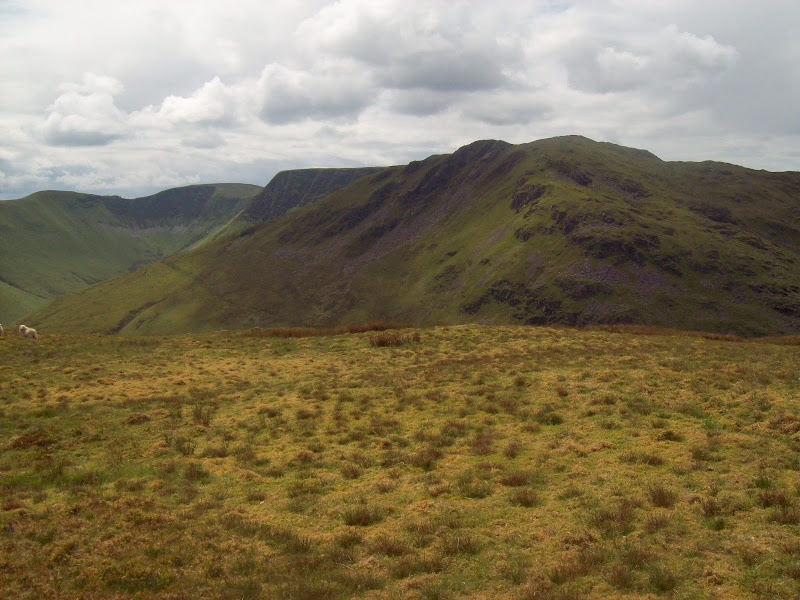
Maesglasau:
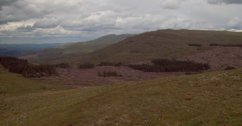
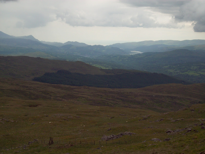
Onward to Pen y Brynnfforchog where I was greeted with the strange site of an almost completely felled forest. Not sure why it was odd, as there are plenty of these about. Must just have been the juxtaposition of the high up mountain views on one side of the fence and the strange sterile landscape on the other. Despite the sun being at its strongest here, I felt a few drops of rain.
Felled forest north of Pen y Brynnfforchog:
On the ascent of Glasgwm, I met a couple of walkers coming the other way. It was a sunny summer weekend, and I had been on the go for almost 6 hours, but these were the first people I had seen on the hills all day (even more surprisingly, I didn’t meet anyone else until I was down on the tarmac road in the valley). They had climbed Glasgwm from Cwm Cywarch and were doing a quick out-and-back to Pen y Brynnfforchog. This pretty much confirmed to me that they were also Hewitt bagging!
I was soon on the summit of Glasgwm, which was a much gentler ascent than just about anything else today. There was quite a lot of rock about, but the rolling summit area belied the massive crags on the eastern face. These would come into view later. I thought that I had better get a photo of me on my last ‘Corbett’
.
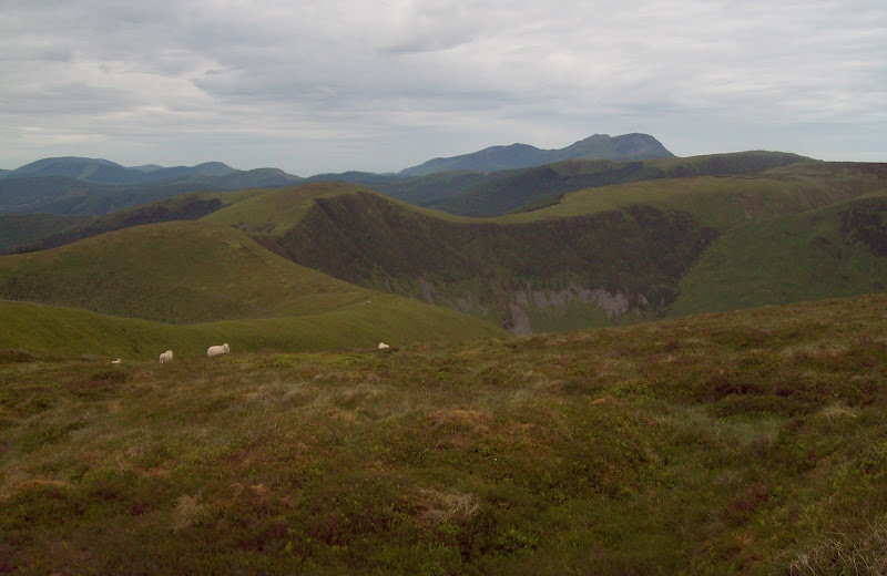
Main Aran ridge from Glasgwm:
Half a compleator:

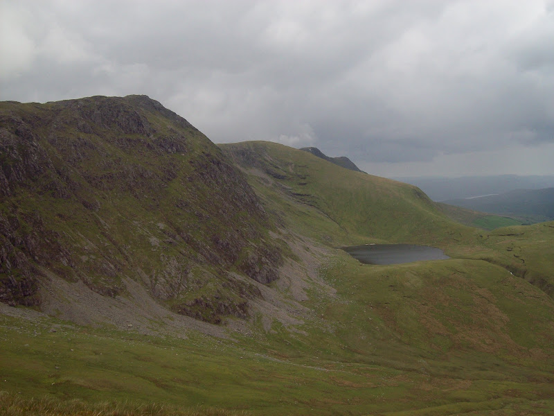
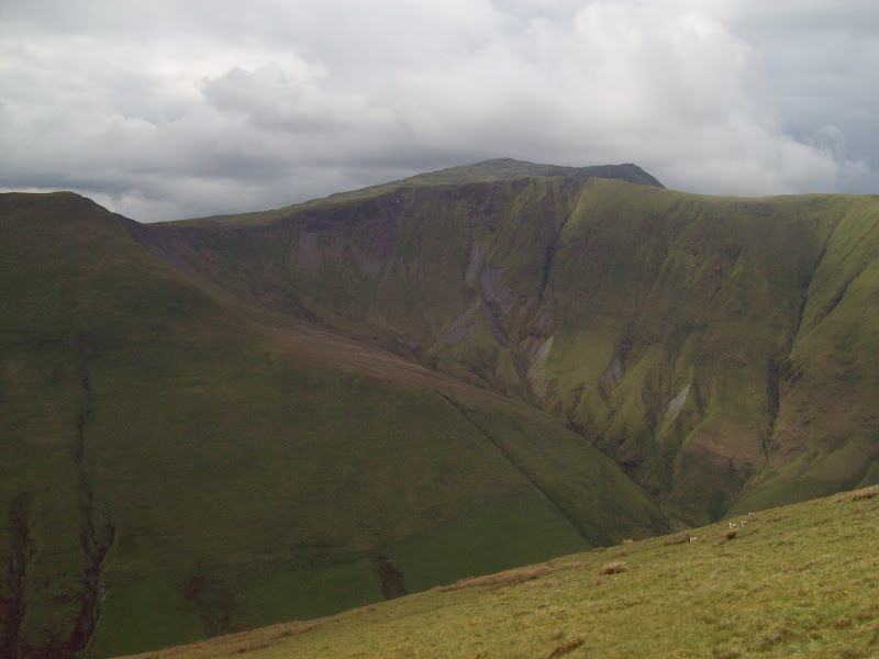
I could now see the pivotal summit of the day, Aran Fawddwy. This would have made a much more fitting last Corbett, but I had been up it in 1999. Despite that, I still fancied doing it again today, even though it was slightly off-route. A bank of dark cloud which had steadily been moving in from the SW had come to nothing, so I decided Aran Fawddwy would still be on. Before that though, I had a summit to visit that I had been calling ‘that bloody hill’ in my mind – Gwaun y Llwyni. It was barely off the path between Glasgwm and Fawddwy, but looked like it would involve a whole load of rough ground and messing about. A steep and relatively rocky descent off Glasgwm led me to a small pool, from where I struck out eastward to the Camddwr. I needed to descend slightly to cross the Camddwr, befoe re-ascending the SW ridge of Gwaun y Llwyni.
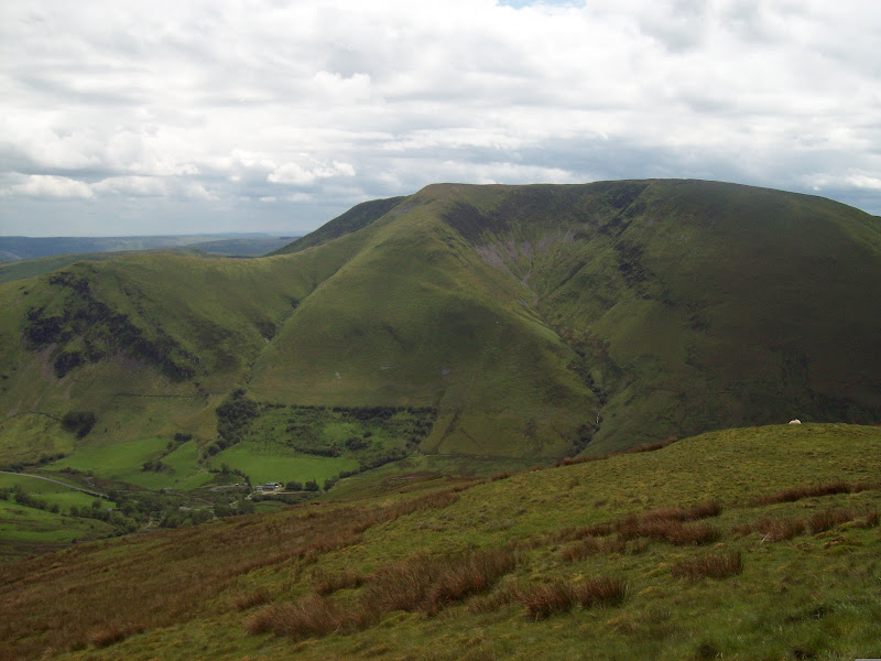
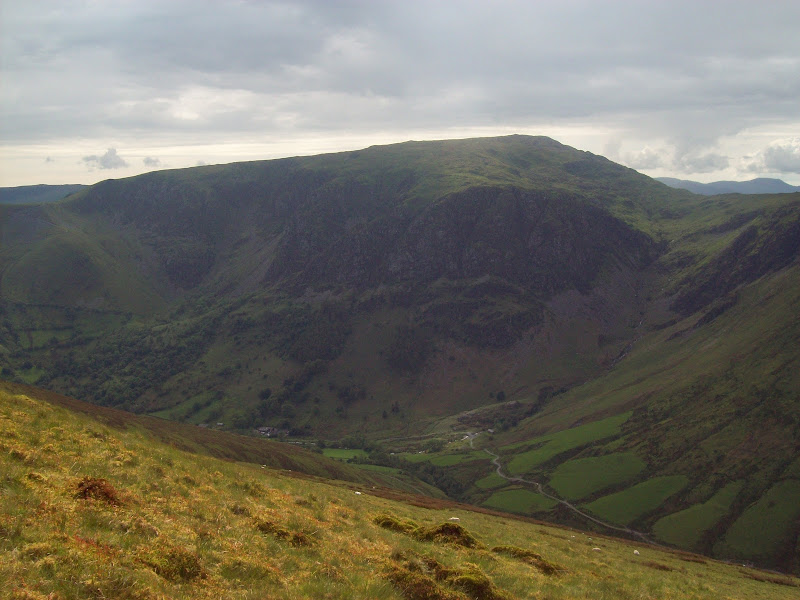
Initially the going was wet, but the diversion was worth it for the improved views of Glasgwm and Craig Cywarch. This really is a large piece of rock for the area, and what makes it even more incongruous is the fact that many of the surrounding valleys are extremely smooth and grassy.
Craig Cywarch and Cwm Cywarch:

Gwaun y Llwyni from the west:

Down Cwm Cywarch:
Glasgwm and Craig Cywarch:

I refilled my water bottle in the Camddwr as I was running low. Then a climb up the spongy SW ridge of Gwaun y Llwyni to the summit, which was perched on the edge of crumbling crags. Not such a bad summit in the end.
I descended northward and traversed to the main path up Aran Fawddwy, passing a couple of bits of isolated aircraft wreckage on the way. Like Glasgwm, the going was much rockier than the surrounding summits. Feeling a bit tired now, the final rise to Aran Fawddwy was a bit of a stagger.
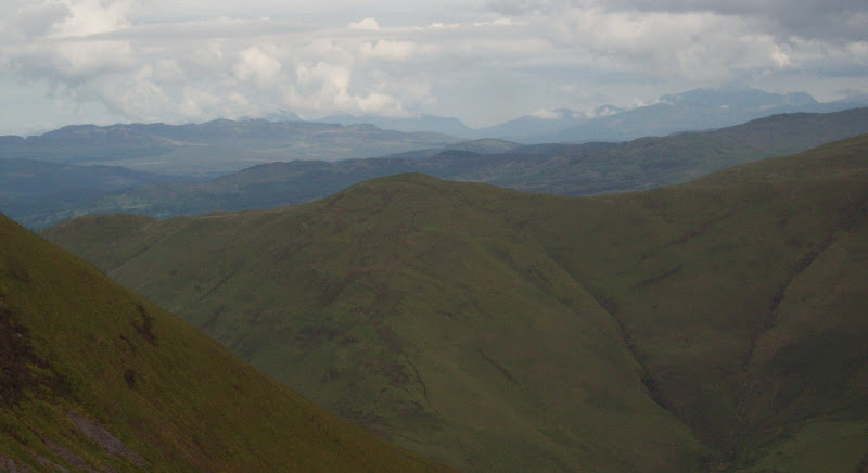
West to the Mawddach Estuary:
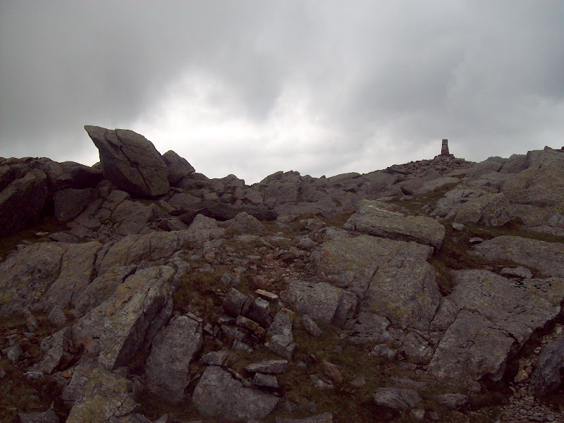
Summit of Aran Fawddwy:
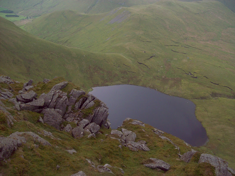
A bit of a shame that the sun had gone in again, making the views rather grey, but it was nice to look north along the ridge to Aran Benllyn, where I had been in February. I found an airy spot overlooking Creiglyn Dyfi for another break. The rain came back on here for a bit, although it wasn’t all that heavy.
North to Aran Benllyn and Bala Lake:
Creiglyn Dyfi:
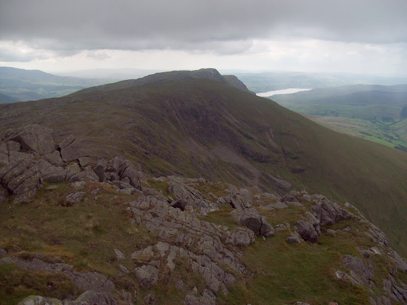
I retraced to the south summit, then down the rocky slopes to Drws Bach. The views of the eastern corrie opened up here, with impressive cliffs. However I felt that Moel Hafod-fynydd (a minor summit I had visited in February) actually had the best views of the ridge.
The cairn at Drws Bach is a memorial to a MRT member who was killed by lightning in the 1960’s – not a nice way to go.
Drws Bach memorial cairn:
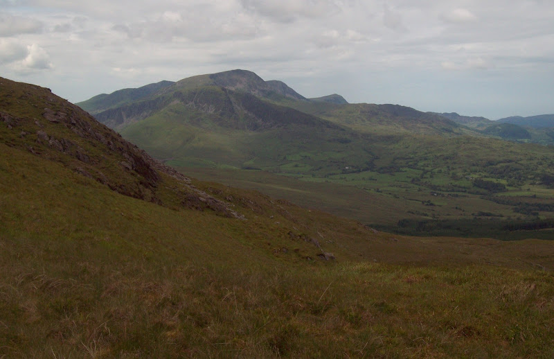
Aran Fawddwy and Creiglyn Dyfi from Drosgl:
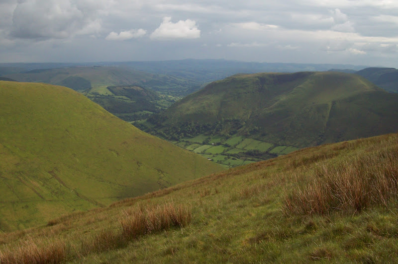
Looking across Pen yr Allt Uchaf to the Dyfi Valley:
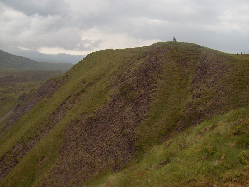
Now was the finale – Pen yr Allt Uchaf. A good path led down to the col at Waun Goch, then it was up through a few peat hags to the summit ridge. I hadn’t been too excited about this summit either, but it was actually a very pleasant grassy ridge with good views to Glasgwm and down Cwm Cywarch. The sun was out again, making it a very pleasant ending, and I actually strolled beyond the summit to the 616m spot height.
Glasgwm from Pen yr Allt Uchaf:
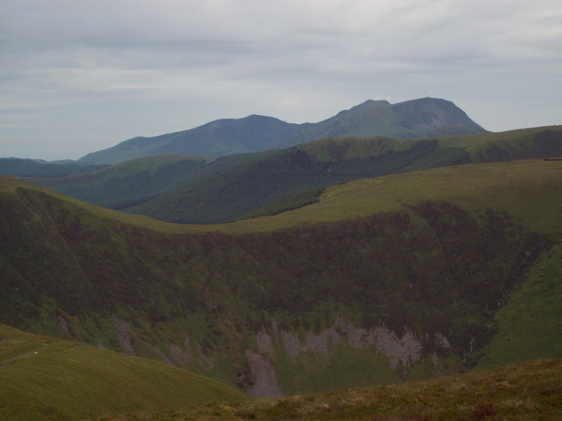
Aran Fawddwy from Pen yr Allt Uchaf:
Descent was down a steep grassy slope which went on forever, but the surface was really nice for walking – firm but not too hard. The footpath along the valley floor was a little boggy in places, then I passed Ty’n y Maes and joined the tarmac road.
Cwm Cywarch:
A nice walk down Cwm Cywarch for a couple of miles was interrupted by the heaviest shower I had felt in a long time. Amusingly, the sun was also beating down at the same time, possibly stronger than any other point in the day. It felt just like home
.
A vehicle track, muddy in places took a shortcut around past Dinas Mawddwy and got me off the road for the last mile. It handily fetched up right by the car.
I was pretty pleased with this walk – definitely the best of the weekend, and covering some nice hills, both old and new. A shorter version could be done by following my route as far as Glasgwm then descending y Gribin and dropping off Foel Benddin into Dinas Mawddwy. Worth noting for doing Maesglasau, Waun Oer and Cribyn Fawr, as it appears that the most common route back for those hills is to walk up the A470 – no fun at all.
This walk brings me to within spitting distance of the end, with only 4 unclimbed Welsh Hewitts remaining now. All being well, that should be two weekend trips' worth.
