free to be able to rate and comment on reports (as well as access 1:25000 mapping).
With some half-decent weather for once we took the opportunity to have a camping weekend in Brecon. We went down on Friday morning and after pitching up did a 5 miler taking in the Marilyns of Mynnydd Llangorse and Mynnydd Troed (the easy path along the ridge of the latter was especially pleasant in the late afternoon sunshine).
The following day we did the Fan Fawr Hewitts as described here.
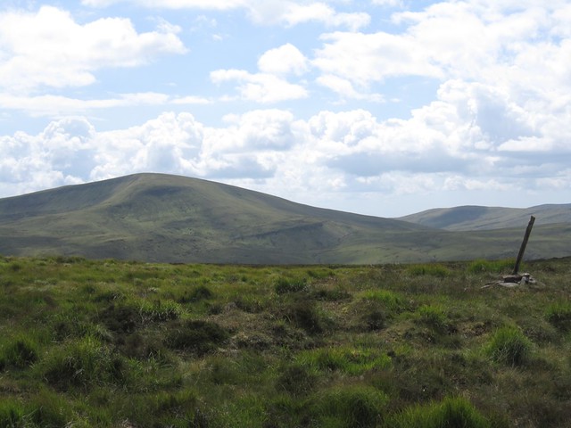
The start is a lay-by on the A470 a little north of the Storey Arms which leads into the Craig Cerrig-gleisiad nature reserve. The top of the north-facing cliffs are just visible as you set off.
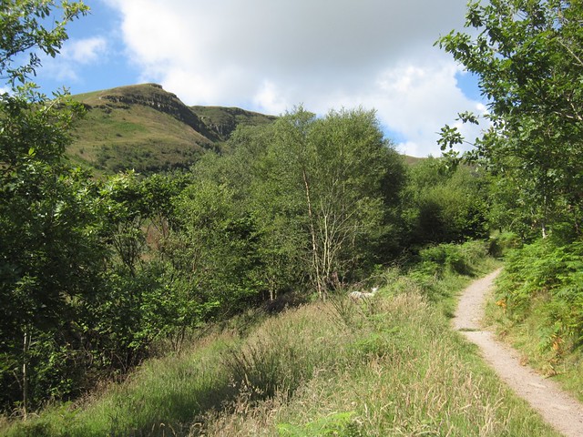 IMG_4772
 by
davisjx2, on Flickr
Soon the view opens out. Despite the sunshine the cliffs are in dark shadow - you can see why they can still harbour rare arctic-alpine plants.
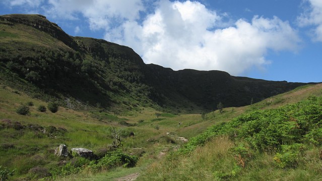 IMG_4773
 by
davisjx2, on Flickr
On the other side of the valley the tops of Pen Y Fan and Corn Du peek above the broad hump of Y Gryn.
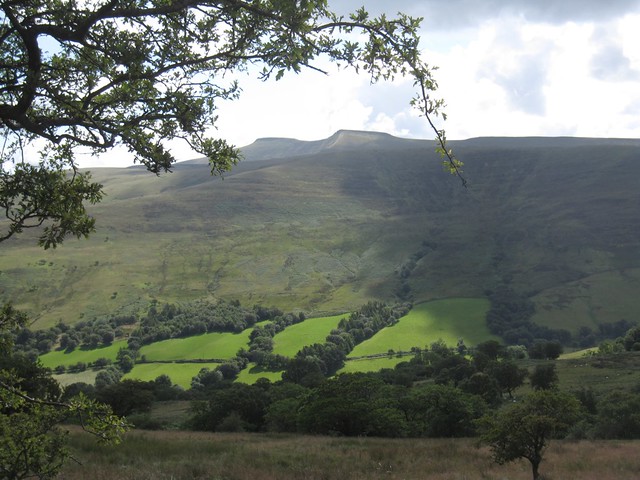 IMG_4774
 by
davisjx2, on Flickr
Heading further north, but not gaining much height yet, we get the first view of Fan Frynych.
 IMG_4775
 by
davisjx2, on Flickr
Eventually the path meets a broad track and we followed this all the way to the top, with the trig point just a few metres off to the left of the photo. Simple.
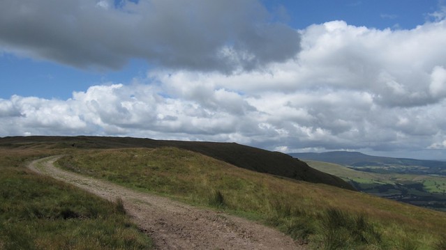 IMG_4776
 by
davisjx2, on Flickr
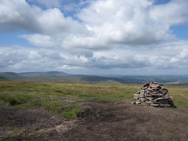
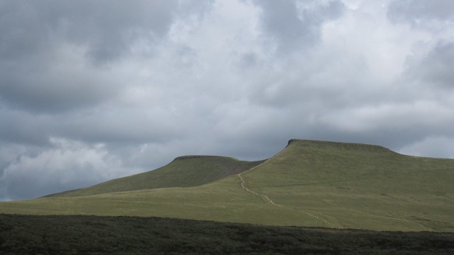
The path heads south towards the cliffs, here with the Beacons in the background, but then veers off to the right to the actual summit Craig Cerrig-gleisiad which is just a pile of stones.
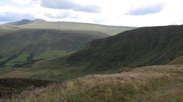 IMG_4778
 by
davisjx2, on Flickr
We headed directly south from here with Fan Fawr directly ahead. After a week without rain the path was completely dry with the bare peaty patches firm and kicking up dust when crossed. Lovely going.
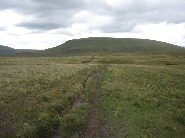 IMG_4779
 by
davisjx2, on Flickr
The final bit was fairly steeply up but nice and grassy.
 IMG_4780
 by
davisjx2, on Flickr
Looking west from Fan Fawr's summit, with Fan Gyhirych on the left and Fan Brycheiniog in the far distance.
 IMG_4781
 by
davisjx2, on Flickr
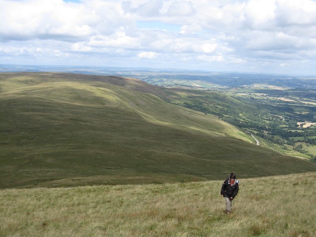
There is a trig point on Fan Fawr but it's half a kilometer to the SW. An easy stroll. The breeze was quite chilly for a time, which is why I look a bit over-dressed for a summer walk!
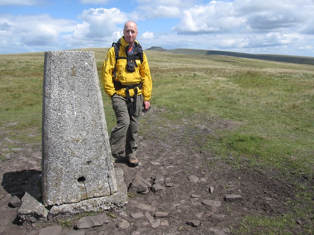 IMG_4783
 by
davisjx2, on Flickr
Back at the summit proper there's a good view of the chain of reservoirs which supply water to Cardiff.
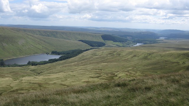 IMG_4785
 by
davisjx2, on Flickr
We then descended to the Storey Arms which today was very busy and then headed straight up the main path to the left of the outdoor centre passing a score of folks on their way down from the main peaks. Looking back at Fan Fawr from the path up to Y Gryn.
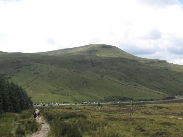 IMG_4786
 by
davisjx2, on Flickr
At the top of the rise we turned off left to the deserted summit of Y Gryn. The path was faint so I expect this hill only sees Nuttall-baggers and few others.
 IMG_4787
 by
davisjx2, on Flickr
The Beacons path is visible from some distance and looks well-maintained - just as well given the traffic it has to carry.
 IMG_4789
 by
davisjx2, on Flickr
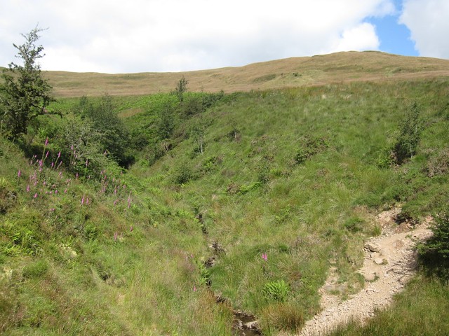
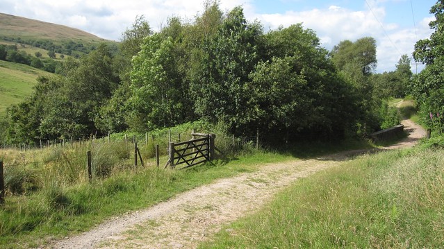
We dropped down steeply from Y Gyrn - this was pathless but reasonably straightforward until the last bit which involved some unpleasant bracken-bashing to locate the gate which leads out onto the Taff Trail.
 IMG_4790
 by
davisjx2, on Flickr
We walked a short distance along the trail before cutting through fields back the the car.
 IMG_4792
 by
davisjx2, on Flickr
Craig Cerrig-gleisiad from the Taff Trail.
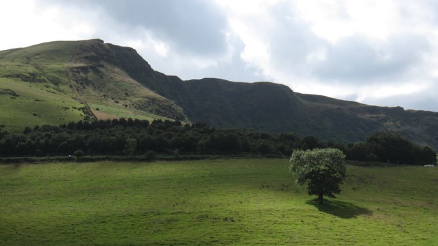 IMG_4794
 by
davisjx2, on Flickr
A final view of Y Gryn which from here looks like a proper hill.
 IMG_4795
 by
davisjx2, on Flickr
