free to be able to rate and comment on reports (as well as access 1:25000 mapping).
For some time I have wanted to undertake a full traverse of the Rhinns of Kells. This was made possible yesterday thanks to John and use of two cars.
We initially both drove to Craigencallie House, which is circa 5 miles along a narrow road off of the A712. Be careful if driving along this road as it is currently full of large potholes.
I left my car at Craigencaillie House and we both then set off in John’s car to the Green Well of Scotland, a short distance North of Carsphairn.
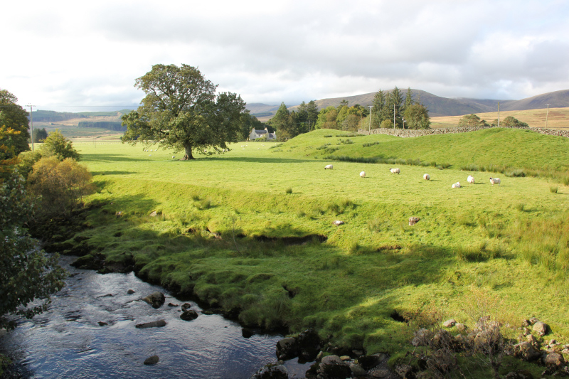
Click here to view a map of the route undertakenFrom the Green Well of Scotland, we set off walking along the road leading to Holm of Daltollochan. The weather was quite nice at the outset, a pleasant change from the previous two days.
View towards Holm of Daltollochan from A713:
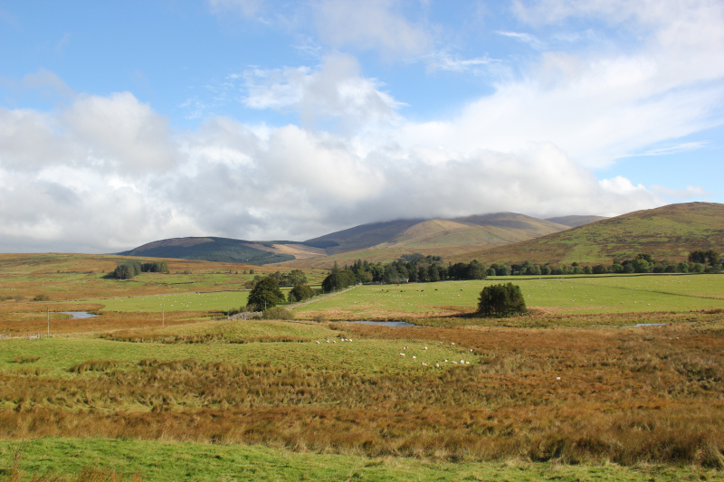
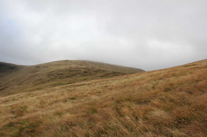
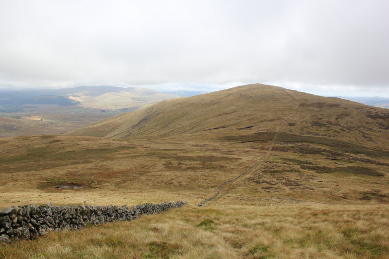
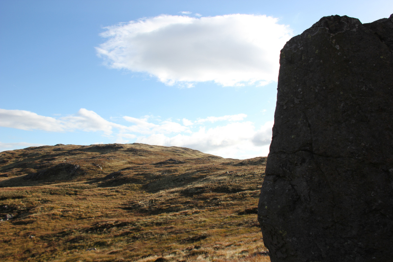
Looking across to Cairnsmore of Carshairn from start of walk:
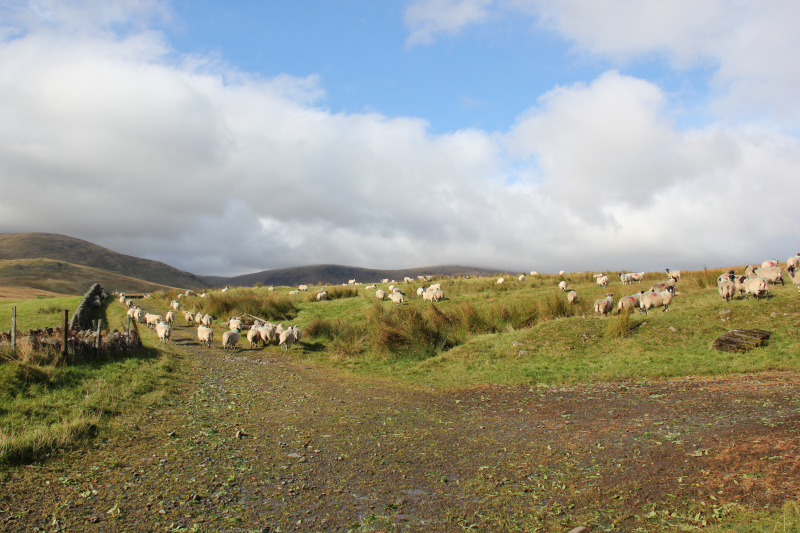
Sheep at Garryhorn:
We followed the good track as far as the disused mines, a short distance beyond a ruin chimney.
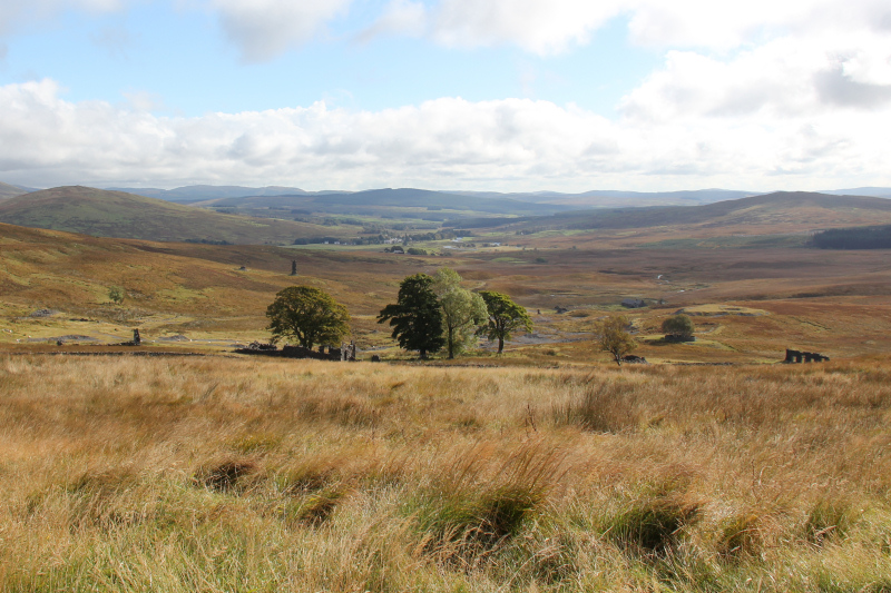
Approaching the disused mines:

Beyond the mines, the OS Landranger map shows a path leading up from the disused mines towards the col between Coran of Portmark and Knockower. Despite using a Satmap to exactly follow the line of the path on the map, we could find no evidence of a path. What we did find was circa 1.5km of knee to waist-high grass and tussocks. This ascent was energy-sapping.
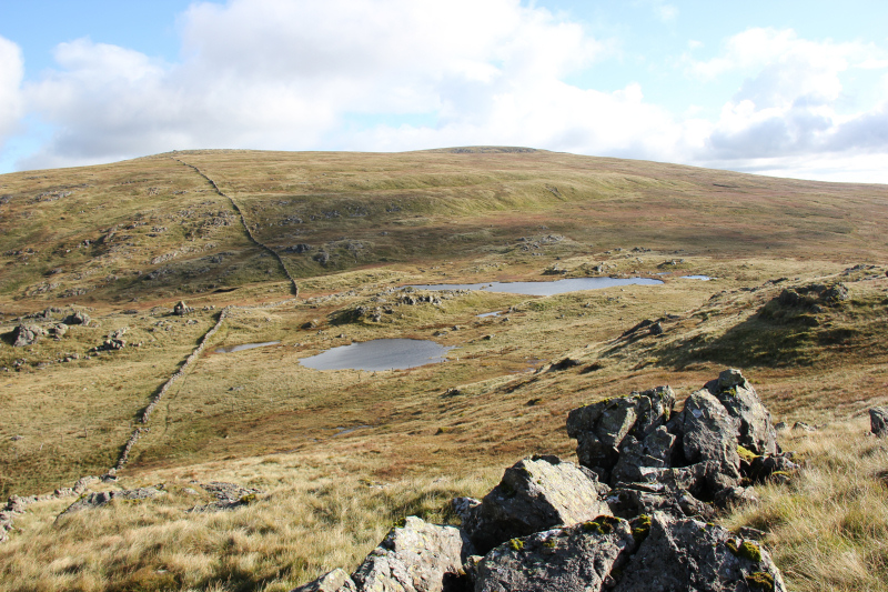
Looking back to the disused mines from ascent of Knockower:
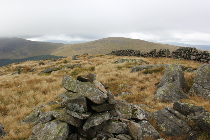
We did pick up an ATV track a short distance below the summit of Coran of Portmark.
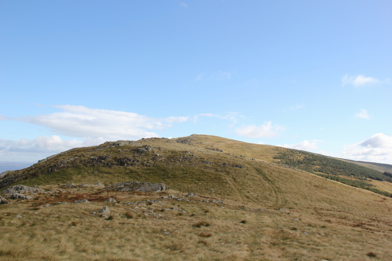
Looking towards Coran of Portmark:
It was great to reach the summit of Coran of Portmark. The traverse along the ridge-line would be much more pleasant.
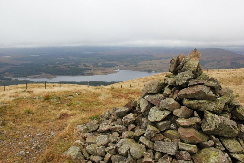
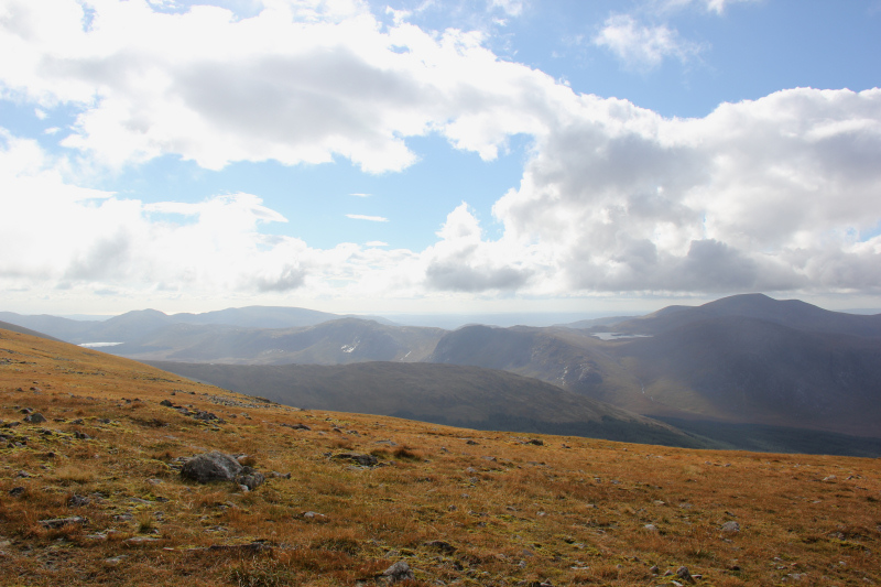
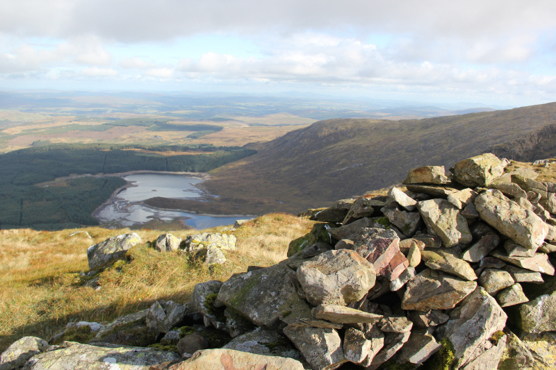
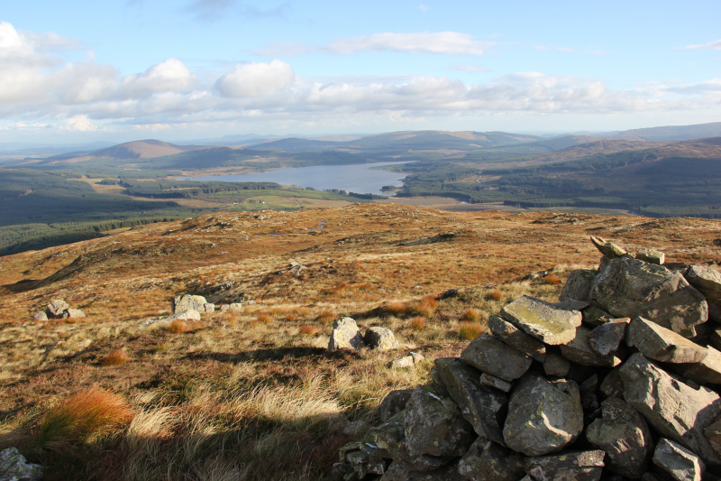
Loch Doon from summit of Coran of Portmark:
The traverse from Coran of Portmark to Bow was incredibly easy. So easy, it felt like it was Buy One New Donald, Get One Free.
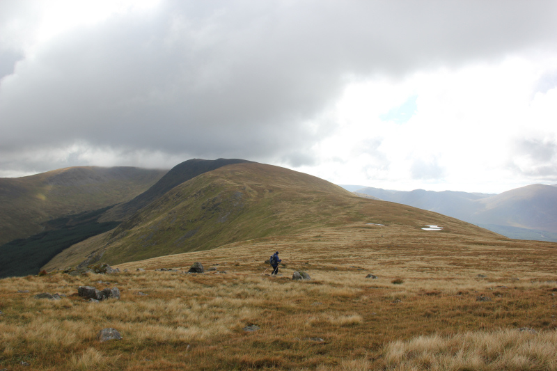
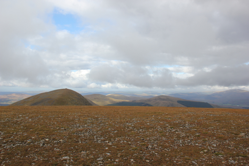
Looking towards Bow and Meaul from summit of Coran of Portmark:
John at the summit of Bow:

It is worth visiting the South Top cairn on Bow, as it is a better viewpoint than the summit cairn.
Loch Doon from South Top of Bow:

From Bow, we made our way along the ridge to the third New Donald of the day, Meaul. Meaul had the first of three trig points on the ridge.
Trig point at the summit of Meaul:
Cairngarroch, the fourth New Donald, lies a short distance off of the main ridge and has a drop of over 100m to get to it. It is a HuMP.
Heading across to Cairnsgarroch:
Looking South from the summit of Cairnsgarroch:

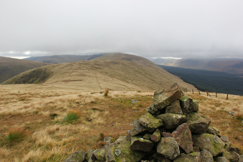
Looking back to Meaul from the summit of Cairnsgarroch:
It was a bit of a pain in the legs to have to re-ascend Meaul from Cairnsgarroch.
The underfoot conditions were excellent from Meaul as far as Corserine – short, dry grass. The 2.5km from Meaul to Carlin’s Cairn, didn’t take long.
Heading from Meaul towards Carlin’s Cairn:
Ascending Carlin’s Cairn:
Approaching the summit of Carlin’s Cairn:

Looking across to the Dungeon Hills and Merrick:
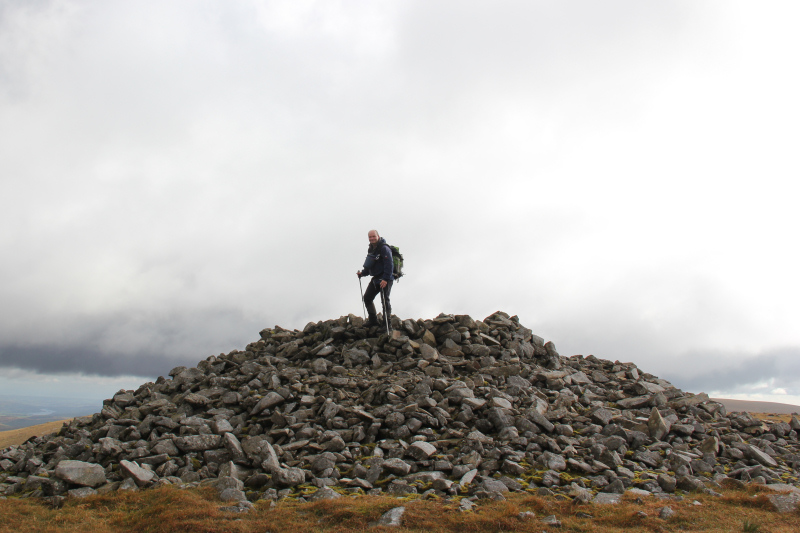
Carlin’s Cairn has a really large cairn and shelter at its summit. Carlin’s Cairn was my fifth new New Donald of the day. From Corserine to Meikle Millyea, I would be repeating a shorter traverse carried out in 2009.
Myself at the summit of Carlin’s Cairn:
As we ascended Corserine, the weather began to improve.
Heading from Carlin’s Cairn to Corserine:
Corserine is the highest point of the Rhinns of Kells ridge. It is a Corbett.
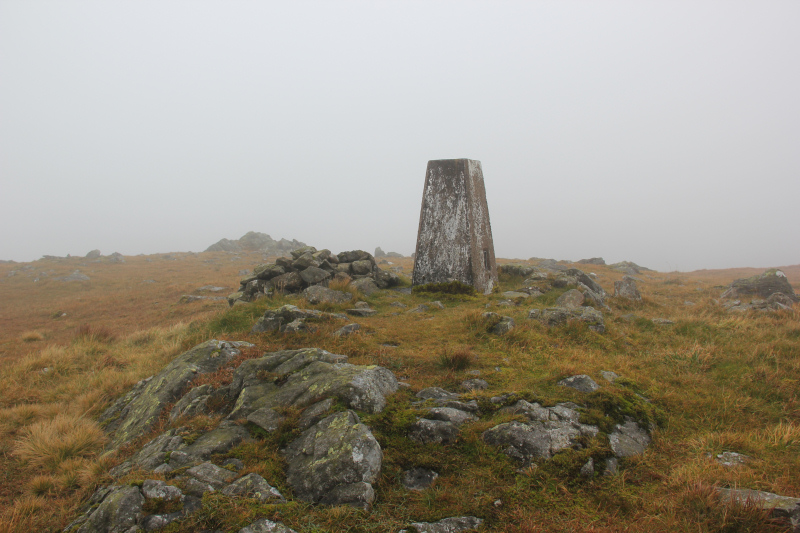
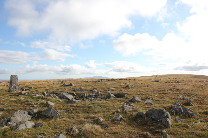
At the summit trig point of Corserine:

View from the summit of Corserine:
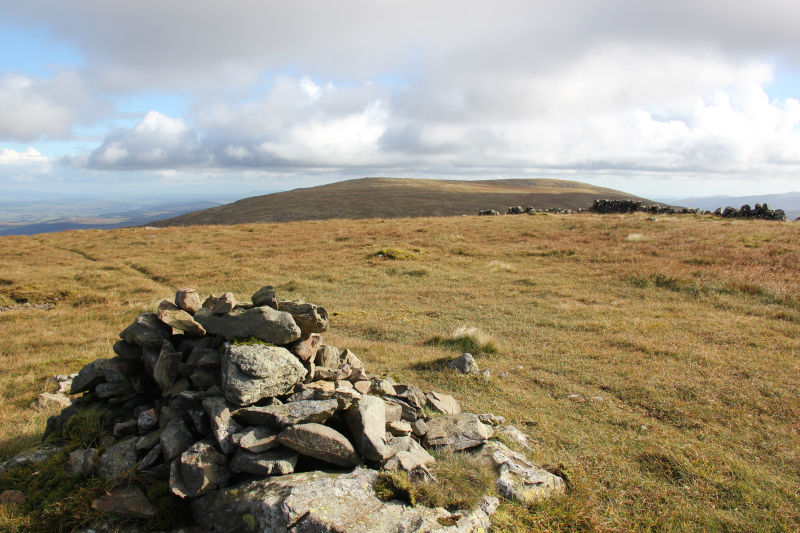
Looking back to Carlin’s Cairn, Meaul, Coran of Portmark and Cairnsgarroch:
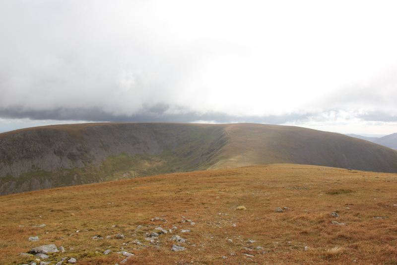
The next section of ridge, from Corserine to Millfire, was longer than I remembered and seemed to pass quite slowly.
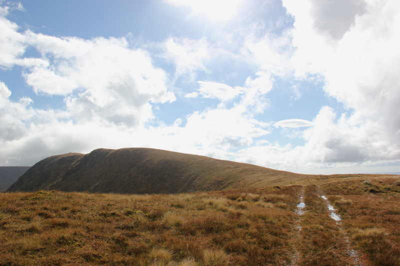
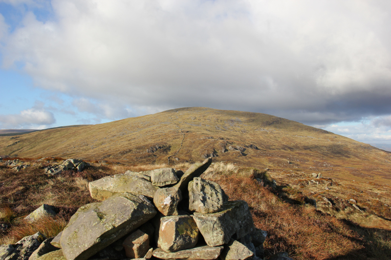
Looking towards Milldown from Corserine:

Ascending Millfire:
Loch Dungeon from Millfire:
Looking towards Milldown from Millfire:

On reaching Millfire, it felt like a separate New Donald. However, on subsequently checking the Database of British Hills, confirmed it only has a 24m drop.
Looking back to Corserine from Millfire:

By the time I reached Milldown, my legs were tired and my feet were sore. This was my sixth consecutive day walking in Dumfries and Galloway and we had undertaken the whole ridge with zero stops.
On researching the Rhinns of Kells walk, the previous night, I noted that the ridge was 17km long with 1100m ascent. What I did not realise was that these figures were from Coran of Portmark to Meikle Millyea only, i.e. not including the ascent onto the ridge and the descent from the ridge. The full length was >28km with >1600m ascent!

Approaching the summit of Milldown:

Looking towards Meikle Millyea from the summit of Milldown:
Heading for Meikle Millyea:
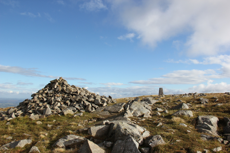
After visiting the large cairn and trig point on Meikle Millyea, we visited the summit cairn, several hundred metres beyond the trig point.
Large cairn and trig point on Meikle Millyea:
Looking towards the summit of Meikle Millyea from the trig point:
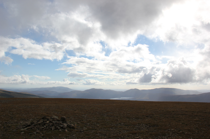
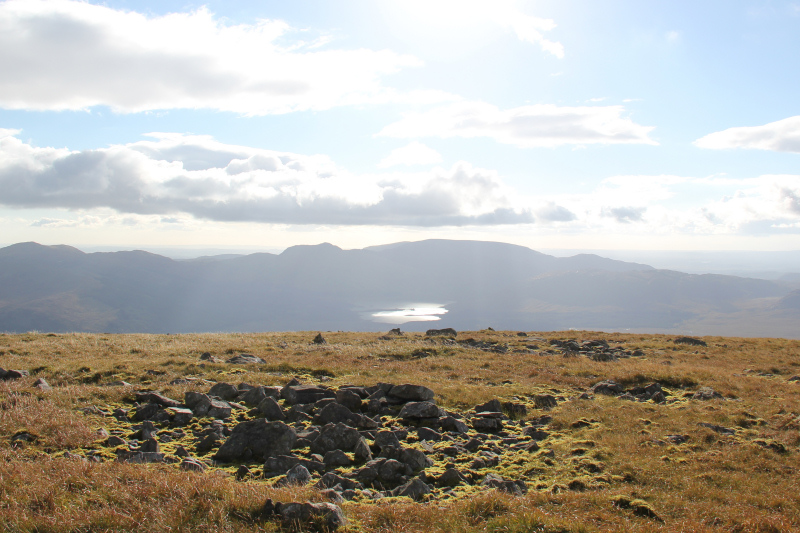
Loch Dee from the summit of Meikle Millyea:
From now on was unknown territory. The descent towards Little Millyea was much more pleasant than expected. We followed a dry-stane dyke to the col and then picked up a faint path up Little Millyea.
Little Millyea from a large boulder:
Clatteringshaws Loch from summit of Little Millyea:
Looking back to Meikle Millyea from the summit of Little Millyea:
From Little Millyea, we made our way across to Darrou. The descent from Darrou was far from pleasant.
A bit of pre-walk research advised of a firebreak leading down to a small quarry. We made directly for this firebreak. What we didn’t realise was how awful this firebreak was. Knee-high tussocks, waist-high bracken, lots of holes and steep. Some of the worst terrain I have ever went through. Thankfully it was of short duration and did get us through otherwise impenetrable forest back down to the track leading back out to Craigencallie House.
Descent from Darrou:

Descending the awful firebreak:
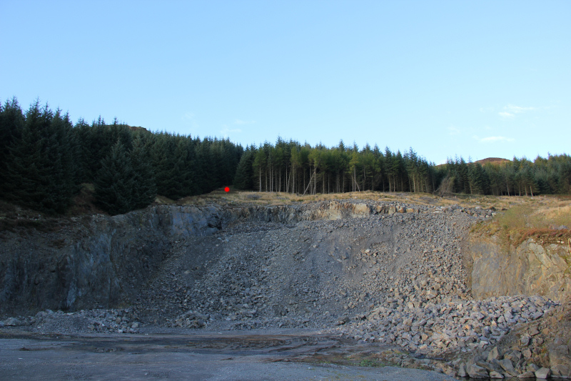
The quarry can be bypassed on the left.
Looking back to firebreak from quarry (red dot = end of firebreak):
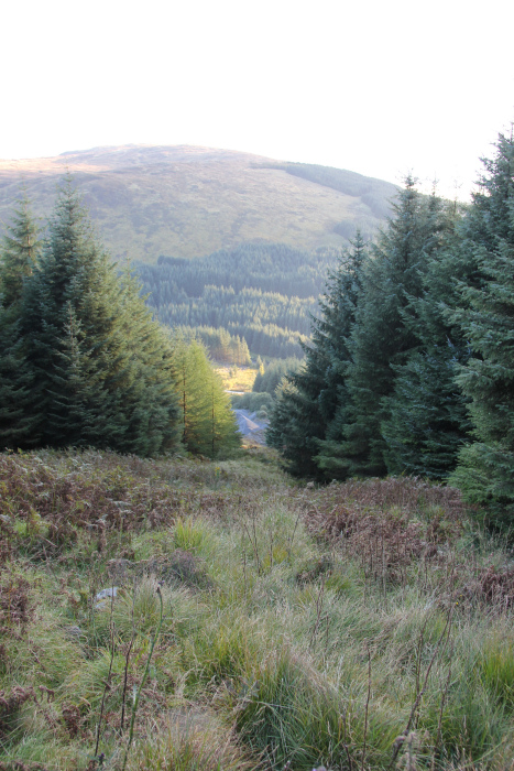
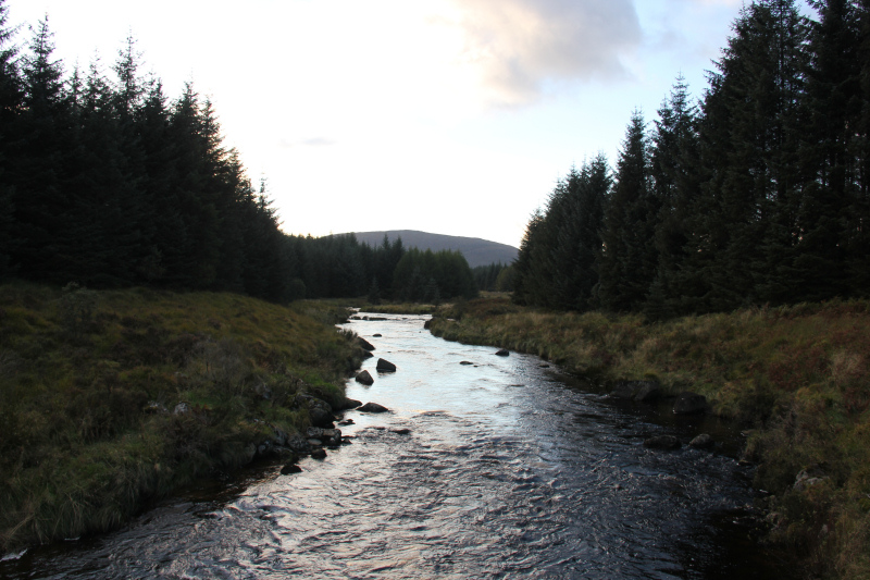
From the bridge over the Black Water of Dee, we had a circa 2km walk back to the car.
Black Water of Dee:
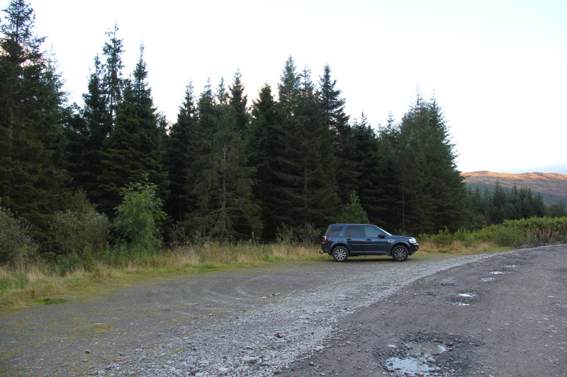
Great to reach the car.
A welcome sight / parking area at Craigencallie House:
I then drove John back to his car at the Green Well of Scotland.
A good day out
