free to be able to rate and comment on reports (as well as access 1:25000 mapping).
Maggie's Bridge - Burnbank Fell - Blakes Fell - Gavel Fell - Maggie's Bridge
This weekend saw the return of my walking partner John. It's been a couple of months since we've both been available for a Saturday yomp and therefore we planned a walk that wasn't going to kill us off and provided a few escape clauses.
With a limited choice (only 21 Wainwrights left on my tick sheet), I decided the Loweswater Fells fitted the bill being not as high as some of the others and a choice of valleys leading back to Maggies Bridge when the going got too tough.
Starting with Burnbank Fell, we made our way from Maggies Bridge (where we parked) and made our way to Watergate Farm. From here we took the steep left path up through Holme Wood to a high level traverse crossing Holme Beck and round to the the northern flanks of the fell.
Climbing Burnbank Fell over Loweswater
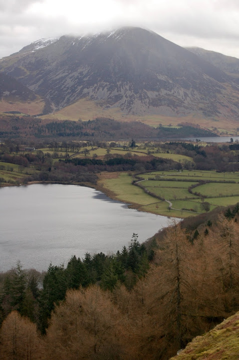
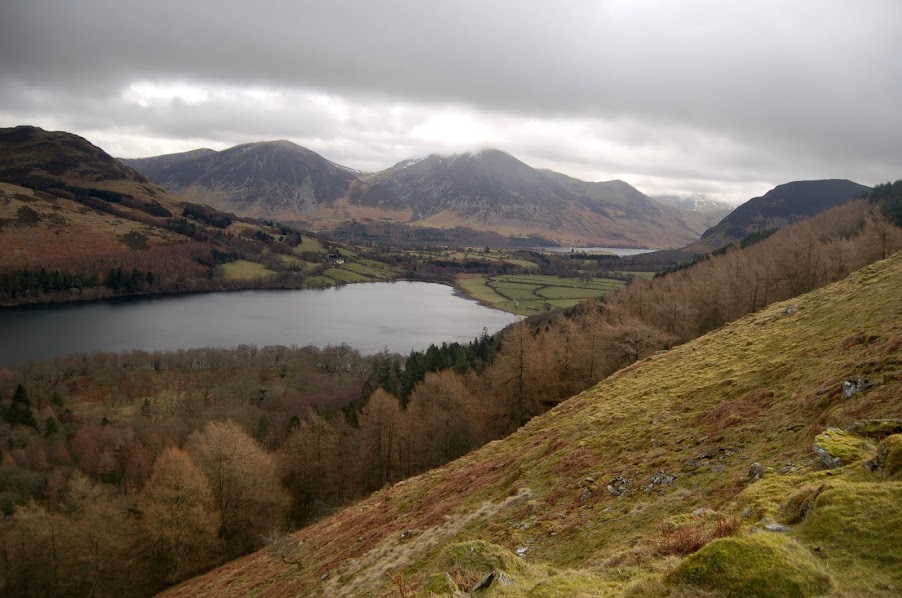
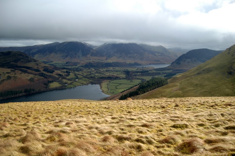
Grasmoor over Loweswater & Crummock Water from flanks of Burnbank Fell
Edge of Melbreak over Crummock Water from Burnbank Fell ascent
Valley view from Burnbank Fell flanks
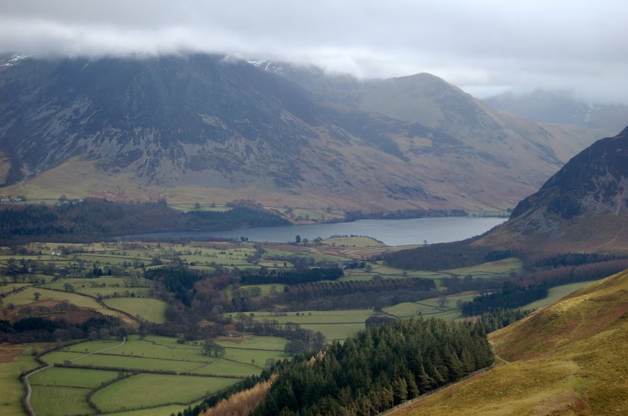
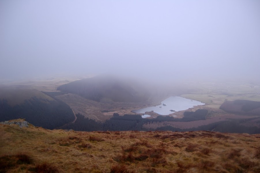
Crummock Water from high level ridge on Burnbank Fell flanks
A number of geocaches were claimed along this stretch and some great views down over Loweswater and Crummock Water and the surrounding fells, including views over to Whiteside & Whiteless Pike which are on my "To Do" list.
From a gate at the end of this track we proceeded left, climbing up onto the western nose of Burnbanks summit up a number of steep grassy banks before it levelled out across to the summit itself.
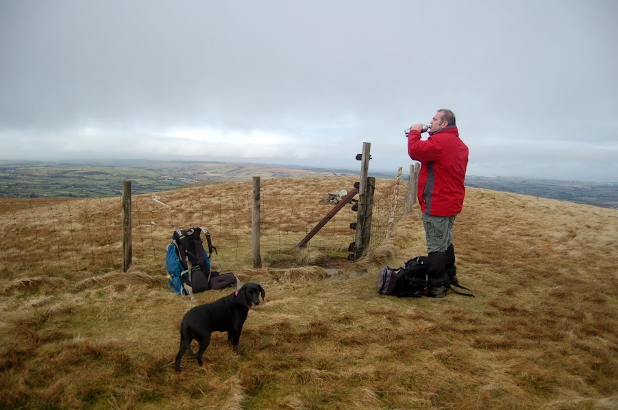
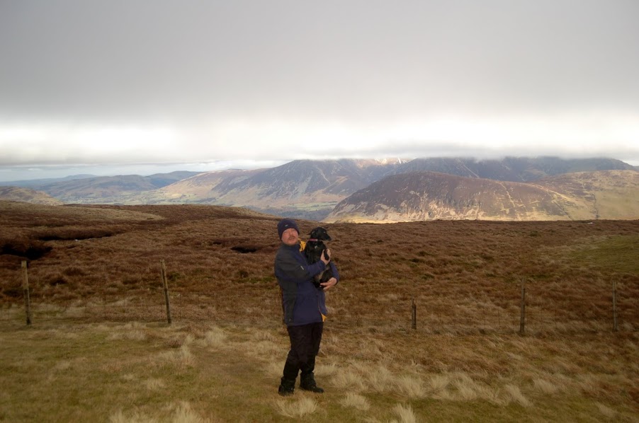
John & Damson mill about on Burnbank Summit
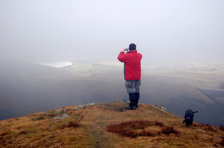
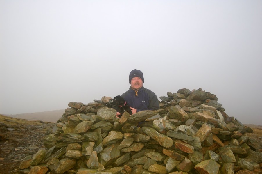
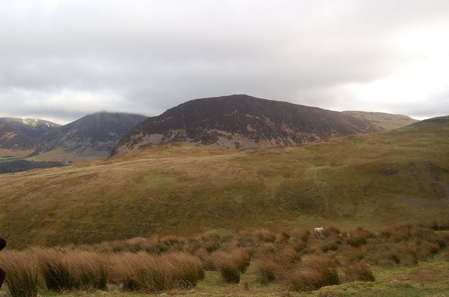
The fence line from Burnbank summit gives a good guide across the Loweswater fells to our next two summits. The ground was better than expected across to our next summit of Blakes Fell following all the rain and snow we have had in recent weeks. The weather was still in petulant mood however and the mist closed in as we approached the top requiring us to wait for breaks in the cloud for views over Congra Moss and on towards the Buttermere Ridge and Great Borne (visited two weeks ago)
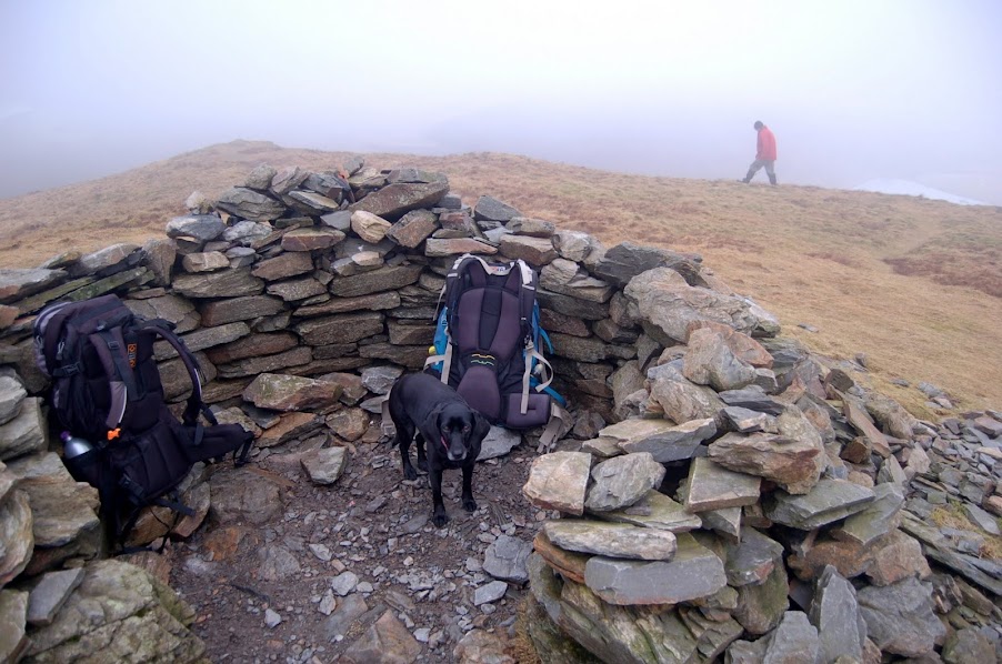
Damson in Blake Fell wind shelter (John in fog in background)
John on Blakes Fell
Congra Moss from Blakes Fell
Hunkering down from the wind on Blakes Fell
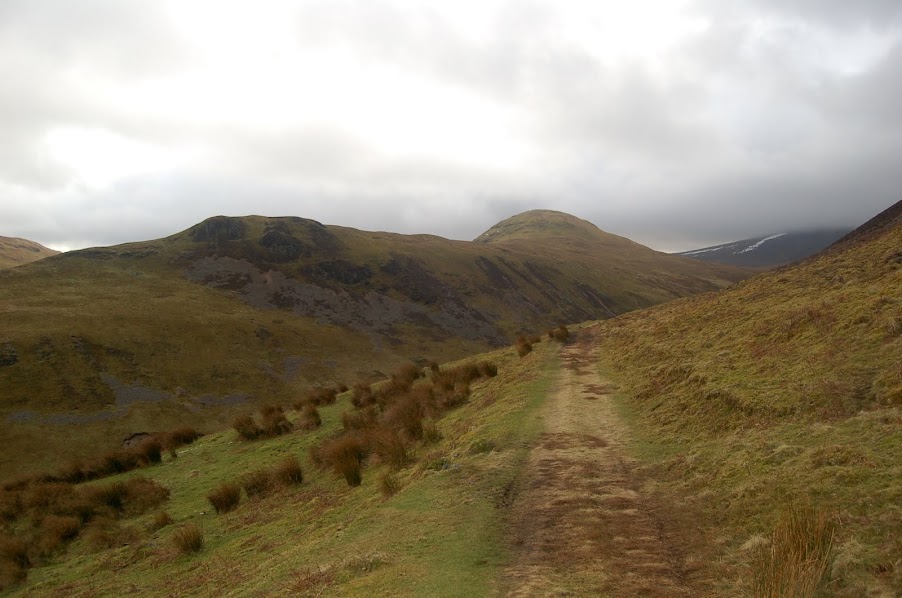
Another high level cache was grabbed before rejoining the fence and on towards our last summit for today of Gavel Fell. John was feeling the effects of his absence from the fells and I knew that Hen Comb and Melbreak were next in line.
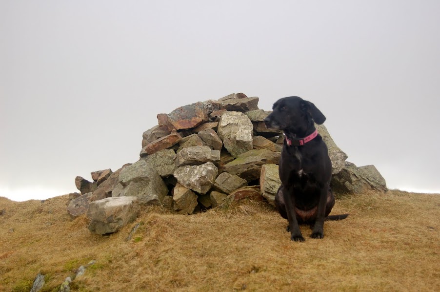
What do you mean its todays last fell ?? ... Damson on Gavel Fell summit
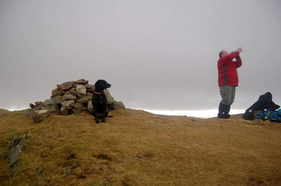
Damson & John on Gavel Fell
Damson & I on Gavel Fell
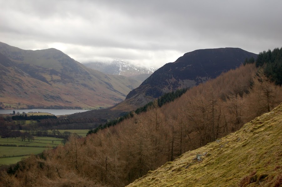
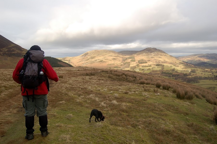
We made course for the valley between Gavel Fell & Hen Comb following Whiteoak Beck back down to Loweswater. The path was somewhat patchy in areas and led through some very boggy grasslands. Initially we dropped right down to the beck edge before the feeds into the beck started to break up the land making progress difficult. A higher path was found a little lower down the valley and provided a much easier and quicker descent. A few more photos back to Melbreak & Hen Comb were captured before we reached High Nook Beck which we followed all the way down to Maggie's Bridge and the car.
Melbreak from our descent path
Hen Comb
John heading back to Maggies Bridge with Fellbarrow in background
We'll be back down here to finish off 4 of the 5 remaining in the area leaving Rannerdale Knotts till the end and a summer yomp with family and friends and a champagne picnic. We'll be planting a special 214 geocache on that day too so I'll be coming up with some inventive "First To Find" ideas in the coming months.
