free to be able to rate and comment on reports (as well as access 1:25000 mapping).
Ha-ha-ha! A mountain climbed at last!!!
It's been four weeks since our last serious hill adventure and regardless of all the nice lowland trips we took in the meantime, I missed the muscle pain, the sweat, the adrenalin rush. My mountain madness was getting worse again and the only ultimate cure had to be running up another Scottish peak

And weather presented us with some spring, even if it wasn't going to last long, I still wanted to take advantage of the sun and the blue sky... So beware mountains, here we come!
Sadly, my poor chum accidentally ate some dairy a few days before the planned trip (can you believe that there is milk powder in gravy granules???) so he was not at his best and I didn't want to rush him up a multi-Munro route. OK, I admit, I had a taste for the Fannichs - I still have four Munros left to do in this range. But eventually, I gave up on overambitious plans and picked an easier, though still interesting trip including Ben Hee, one less popular Corbett in the Sutherland.
We had driven past the starting point for this mountain only the week before, and we were a bit concerned about the lack of parking space along A838. There is a disused quarry about 3km west along the road, where cars can be left, but that would add time and distance to the route. We just hoped we would find somewhere to squeeze in our little girl (the advantages of having a small car...
) and went for it

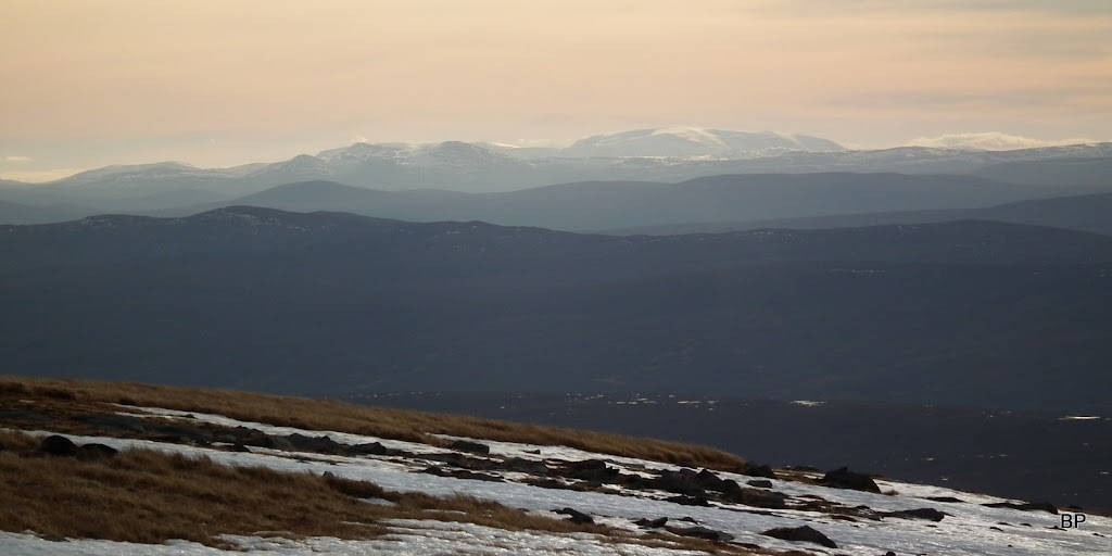
The early hours of Sunday gave us some lovely views along the way. We stopped for a short break on Catha Mhor viewpoint - Dornoch Bay looked beautiful and so quiet, with the white shape of Ben Klibreck in the background:

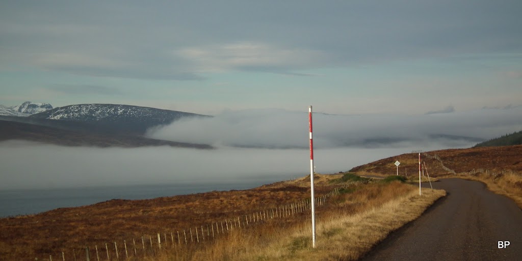
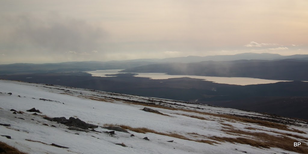
Closer to our target, we noticed stretches of low laying mist, covering Loch Shin and surrounding hills:

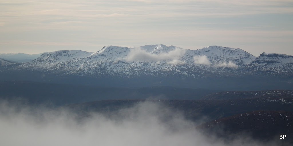
The northern slopes of Assynt Munros still white:

Ha! ha! Are we driving into troubles? Any monsters hiding in the haze? (If you read Steven King's "The Mist", you'll know what I'm talking about
)
Right, we didn't encounter any alien beings. Soon the misty patch was left behind. Having reached West Merkland, we were happy to find a suitable space on the edge of a wide gate entrance to park the car. There was still some cloud lingering over the tops of the hills but we hoped it would all burn off by the time we got higher.
Our route:
We had crampons packed in our rucksack but the conditions looked more like May rather than February...
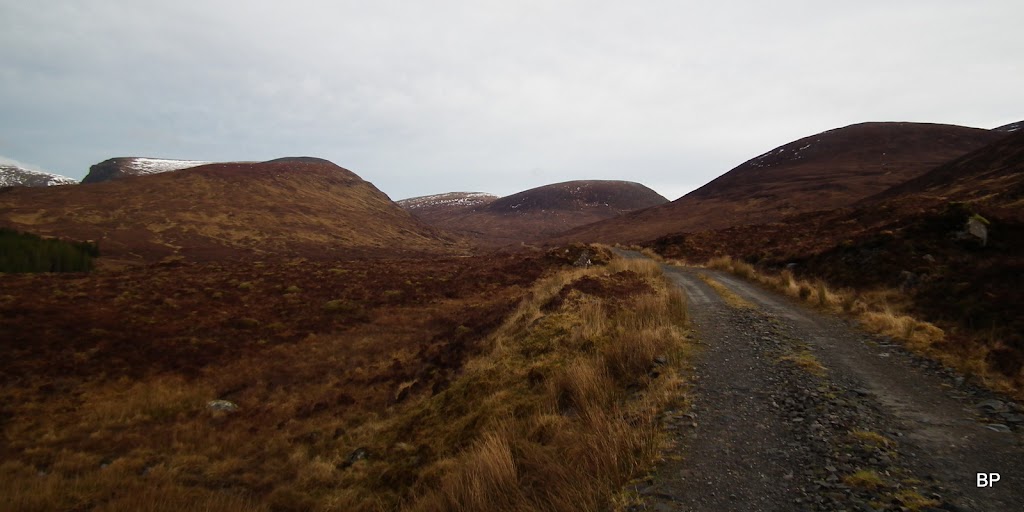
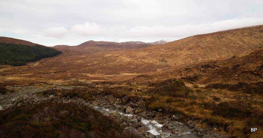
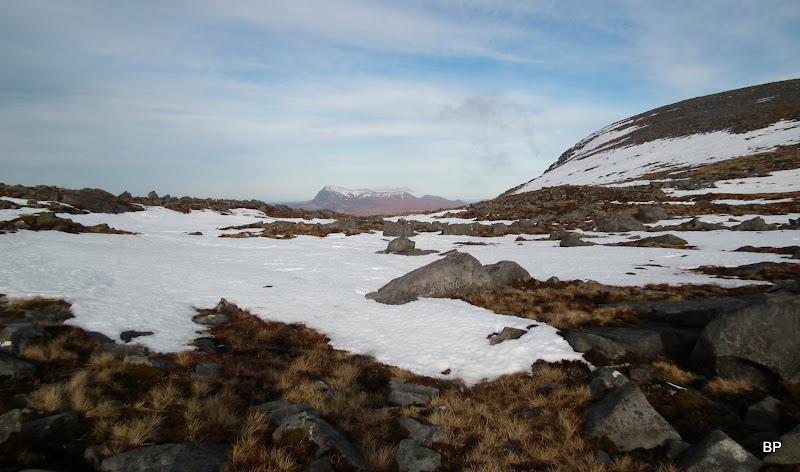
The first stage of this route goes for 1.5km on a good dirt track. it would be possible to charge up the slopes of Ben Hee's lower top (Meallan Liath Mhor, 684m), but the approach across the moorland looked so wet and unfriendly, that we didn't fancy it at all and preferred to stay on the "traditional" approach (also recommended by SMC Guide).
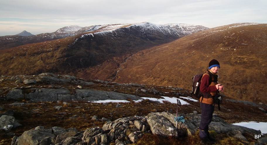
The obvious route takes you along this lovely gorge:
The path turning off the track and up the glen is marked with a small cairn, just a few metres before the bridge over Allt Coire a' Chruiteir. We were mentally prepared for a boggy experience, bear in mind the sudden rise of temperature and all the melted snow. And yes, the path was mucky in places, but not a total disaster and we quickly charged up the slope. Heeey, I was in my element!!!
The great views were not available at this moment
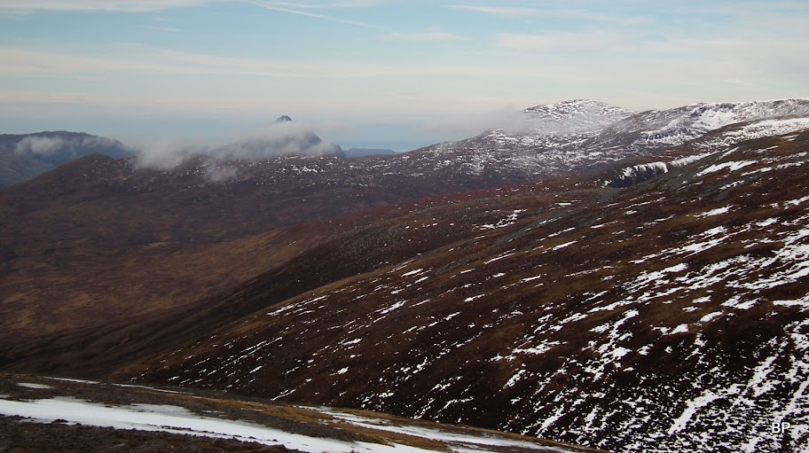
but still, looking back, we could see the profile of the neighbouring Corbett, Meallan Liath Coire Mhic Dhughaill:
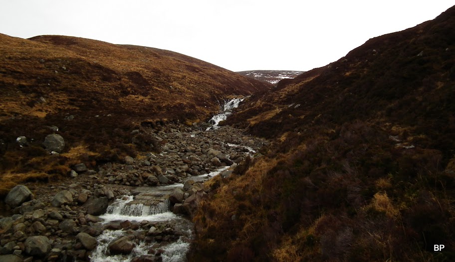
Very soon, we reached the waterfall:
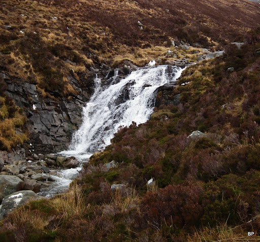
Looking back out of the gorge from just above the waterfall. The path is visible on the left-hand side. I must say, it's a nice way up the hill, and in summertime, when the path is dry, walking along the humming stream would be a delight.
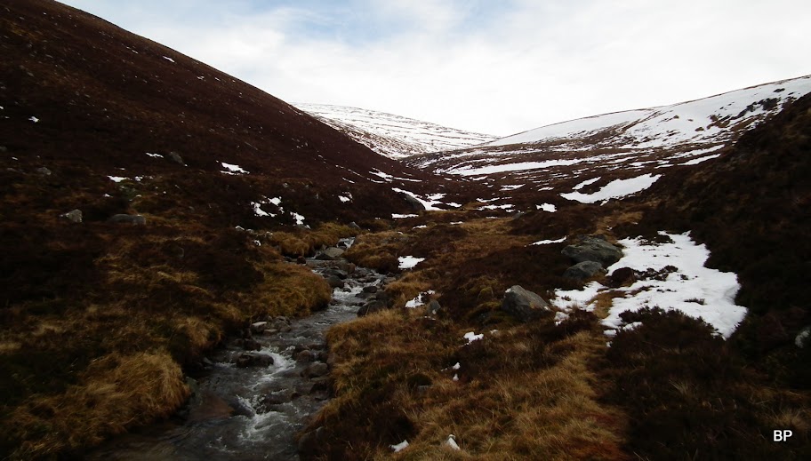
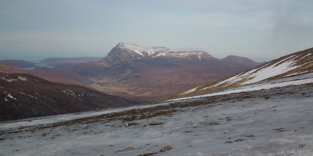
We took a short break above the waterfall, Kevin decided he needed his gaters (I had mine on from the start). The glen is very narrow here, but as soon as we moved on higher, it opened up and the higher, snowy slopes of Ben Hee came in to view:
A glance over my shoulder and I spotted Ben Stack peeking out:

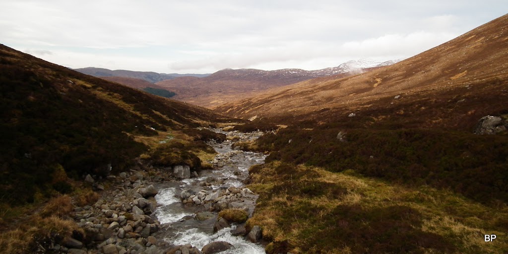
The route is straightforward, one simply has to follow the stream due east, ignoring all the small branches:

Quinag revealed:
We left the gorge eventually and charged up the shoulder on the left hand side - there is a sketchy path, but we didn't bother to look for it under the snow, the slope is easy enough:

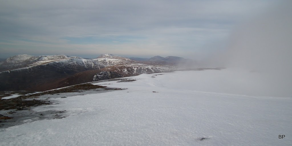
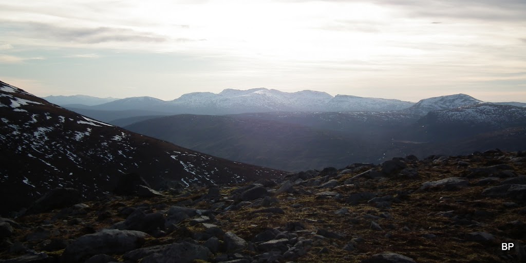
Views were getting even better, even with some cloud on the horizon:
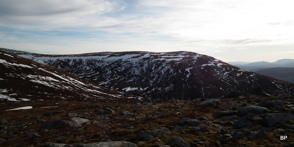
We reached the col between the main summit and the lower top, Meallan Liath Mhor. from here, It's only a short jaunt to the top:
Panorama from the col:
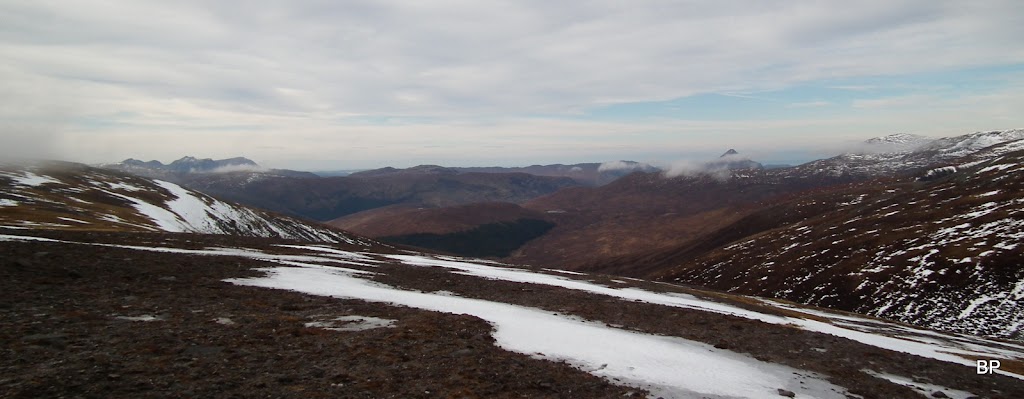
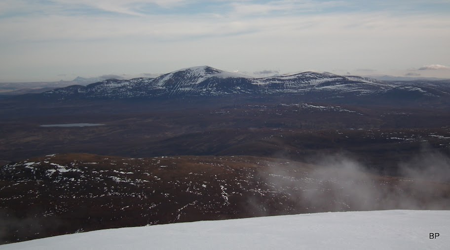
Looking east, distant Ben Wyvis:
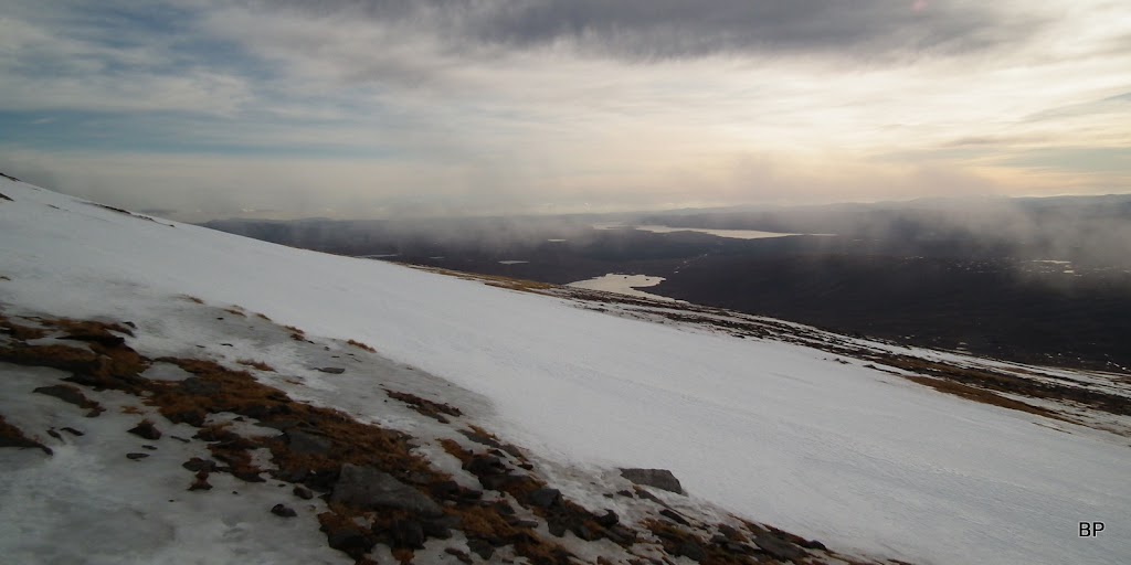
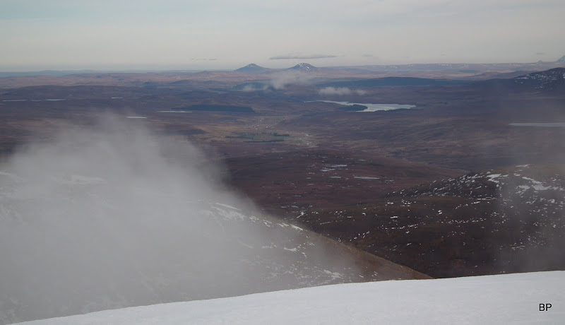
Loch Shin:
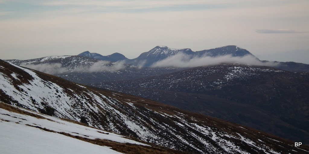
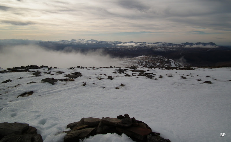
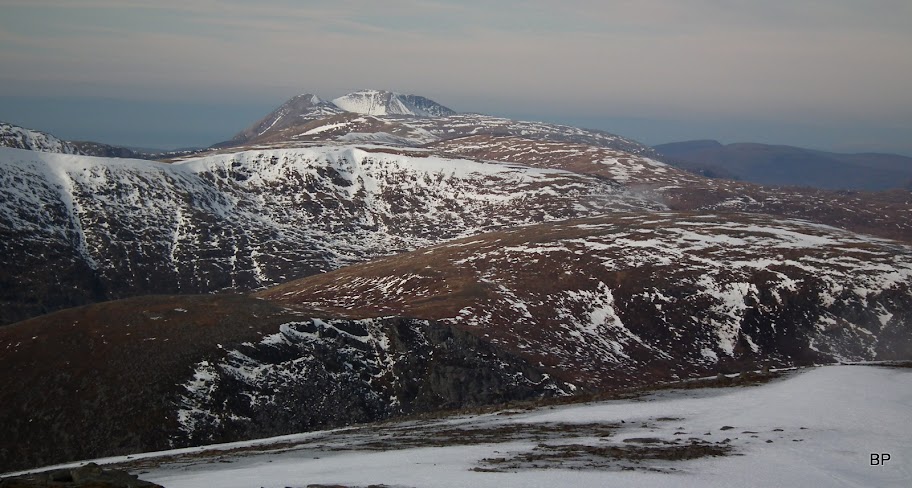
Meallan Liath Mhor with Assynt mountains behind, at the moment obstructed by cloud:

The fluffy patches kept coming but in between them we caught enough clear sky to get some decent zooms
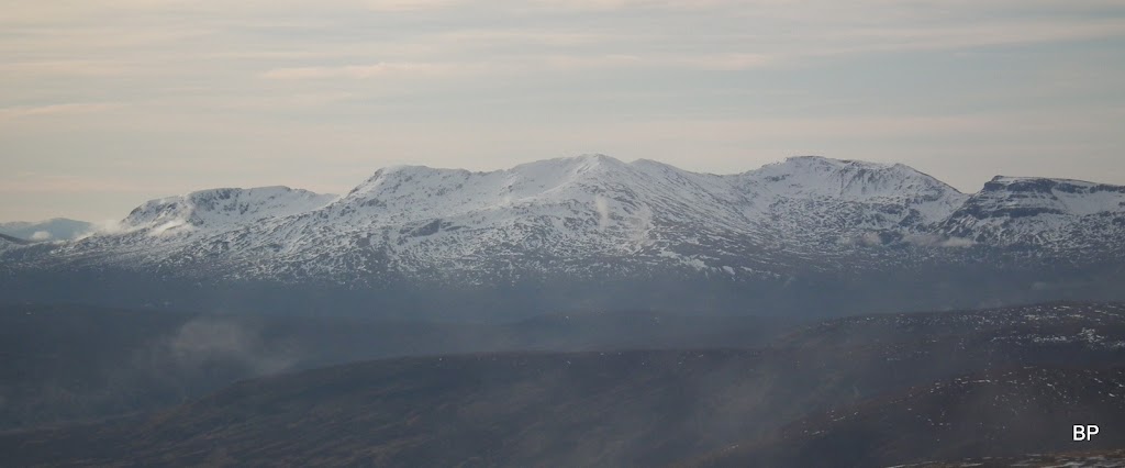
: Here, Conival & Ben More Assynt:
The final push wasn't very steep and we easily managed to avoid all the icy patches without having to unpack crampons:
Looking down to the col:

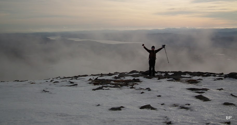
We reached the summit in about 2.5 hours, which including all the stops for photos, posing and eating oat cookies is a decent time:
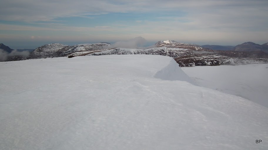
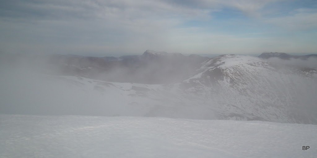
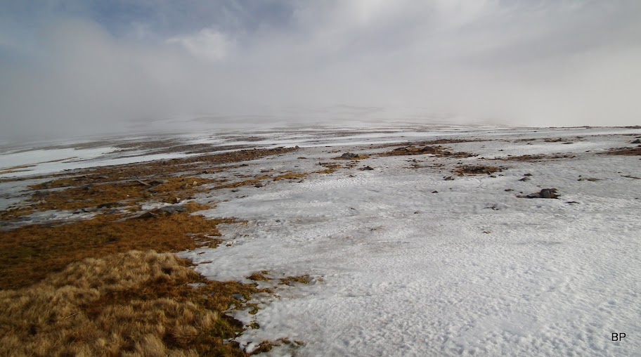
The summit is marked with a trig point, but something else drew our attention. It was the huge cornice overhanging the northern slopes. God only knows, how far the ground goes, and how much of this is hanging in the air... We stayed well away from the edge - after all the recent stories about avalanches and fatal accidents we were more than cautious:
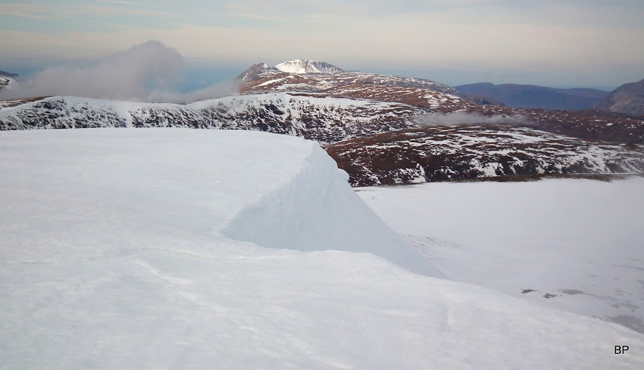
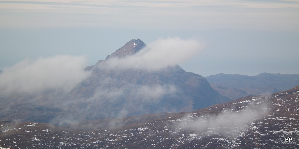
If you look behind the cornice, there is a lovely panorama NE to Arkle and Foinaven:
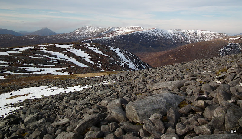
The cloud was thickening and we had to be quick to catch all the lovely views on the camera. Quinag:
Conival and BMAssynt:
Cul Mor, Canisp and the tops of Suilven:

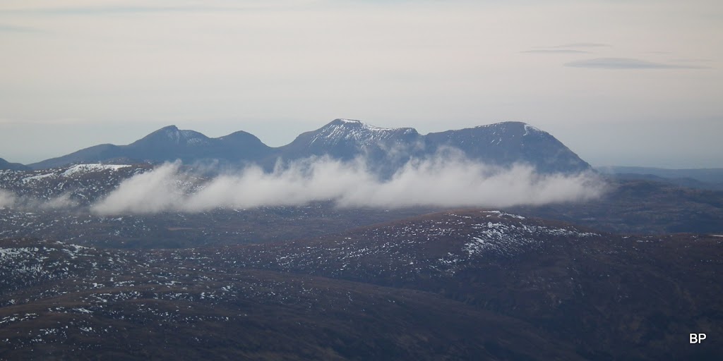
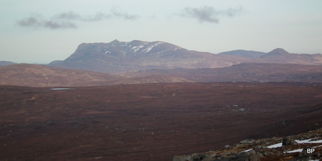
Ben Klibreck from the top of Ben Hee, just before the cloud closed in:
Ben Griam Beg and Mor:
North to Ben Hope, with the cloud coming in:
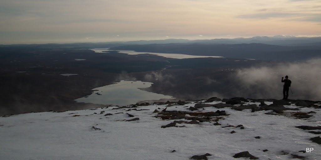
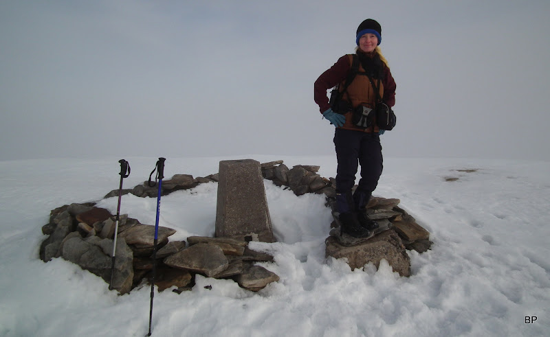
Looking south from the trig point shelter:
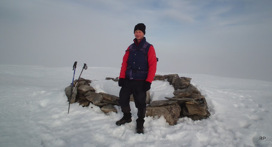
Corbett No. 49!!! Next time I'll be celebrating the big 50
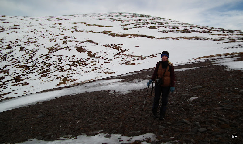
Kevin by the trig point. This was a good route for him, he managed well without getting too energy-drained (though he ate too many oat cookies as to my taste
)
By the time we got around to summit photos, the views were gone for good...
Ben Hee is recommended for climbing in good weather - the panoramas are fantastic, really worth the effort!
Instead of returning the way we came, we decided to make a traverse by descending along the NE ridge (Sail Gharbh). SMC book suggest this as an alternative route, but also says that "the going is rather rough". I dare disagree! There are a couple of boulder fields on the way but very easy to hop from rock to rock. The final 300m of descent is steep and pathless but I wouldn't call it rough.
Besides, descending this way means one can savour the views for longer
Having descended about 100m, we emerged from the cloud into the clear air and could concentrate on admiring the surrounding mountains...
Foinaven:
Ben Stack, Arkle and Meall Horn:

Mr Stack again, zoomed:
Meowing in Sutherland... One happy Panther!

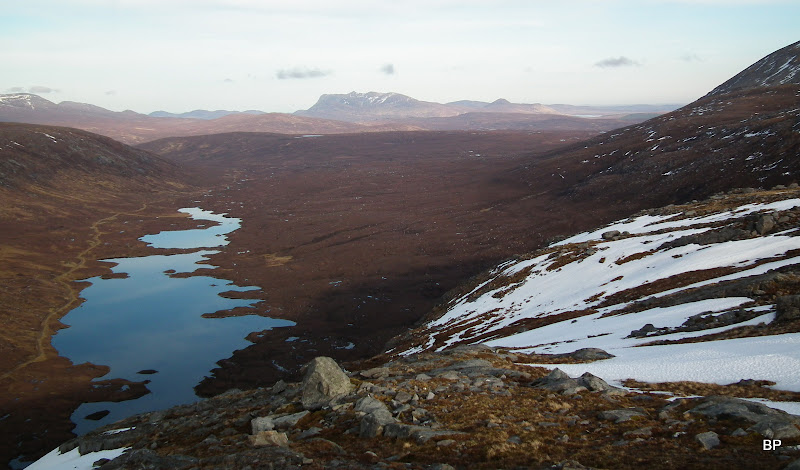
Now we could see Ben Hope properly:
Zoomed:
A glimpse back towards the summit, cloud still stubbornly holding on:
We negotiated the first boulder field. Piece of cake:
From lower down, the top of Ben Hee eventually clearing:

Ben Loyal, looking rather bulky and massive from this angle:
The cloud was definitely burning off for good, nothing left on the southern side:
Meallan Liath Mhor from Sail Gharbh:
The most breathtaking moment was when we stopped for a while on the edge of the cliffs on the 580m point and looked down to Loch an t-Seilg. WoW!!!!!
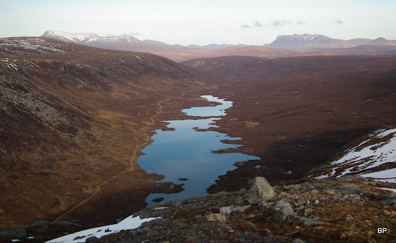
It's so worth taking the alternative route just to see this view!
I was more than happy:
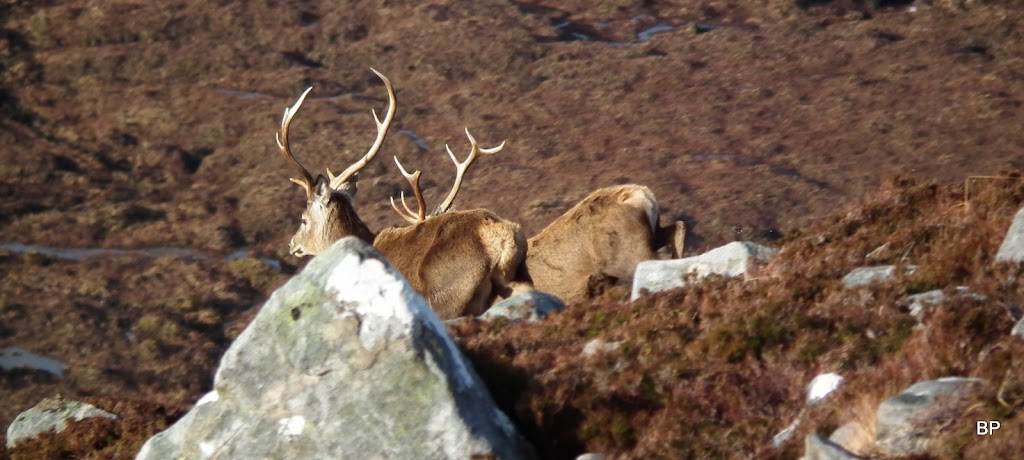
As I mentioned above, the final descent is steep but we had no problem whatsoever to pick a good zig-zag route on the grass and heather. I was pleasantly surprised that the ground was much drier here than on the ascent path. We even managed to catch a glimpse of a few deer... Well, mainly their backsides

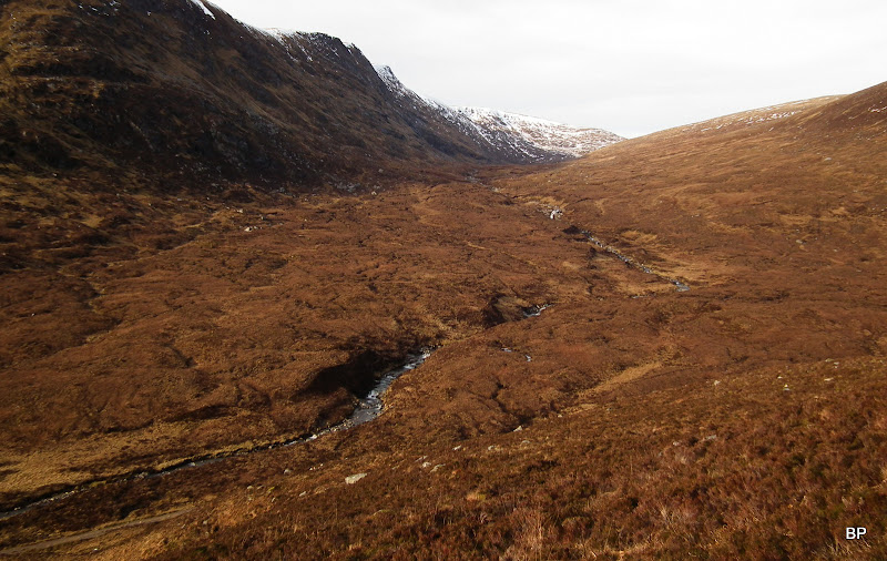
Looking down from the steep slope to the glen of Allt na Glaise. The track to which we descended can be seen in the lower left corner:
Finally, we found ourselves on the dirt track and returned to the car in about 4.5 hours. We had a great time. And we discovered another beautiful corner of northern Scotland, so overlooked and quiet. Next time we are in the area, Meallan Liath Coire Mhic Dhughaill is high on the list for a spring walk. Arkle and Foinaven are better left for long summer days, that doesn't mean I forgot about them! Meow!
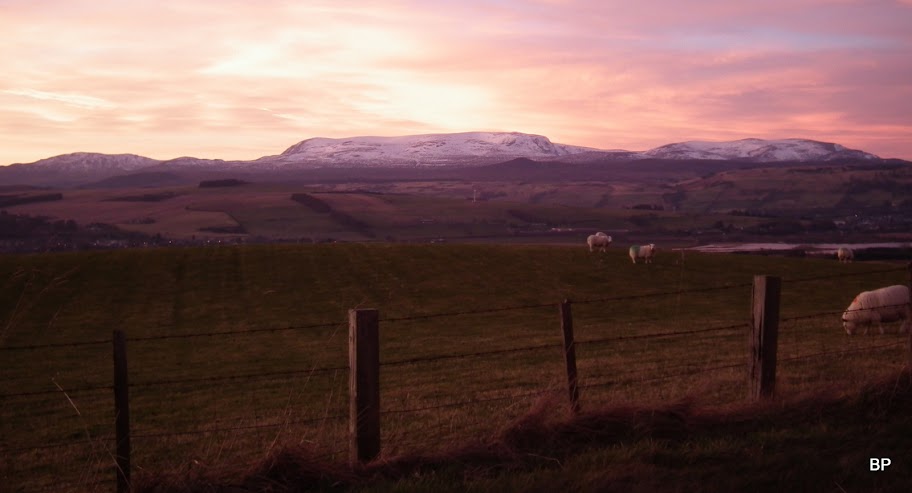
On the way back, we noticed the sky was very red. Unusual colours as for this time of year...
Ben Wyvis in red: