free to be able to rate and comment on reports (as well as access 1:25000 mapping).
Lorraine needed a day off to let her knee recover from the previous day's exertions on Great Borne, and the kids needed some new clothes, so I got a day walking on my own while they went to Workington.
The original plan had been that Thomas would come walking with me, but when he heard that we would not be doing any new Wainwrights (all the ones we can reach without transport are already done) he decided to go shopping instead. I did suggest a couple of new 'outlying fells' we could do - Boat How or Irton Pike - but they were not enough.
They were incentive enough for me though, and I decided to start from Boot, climb Boat How, and return either along the valley or along the Illgill Head ridge depending on energy levels and weather.
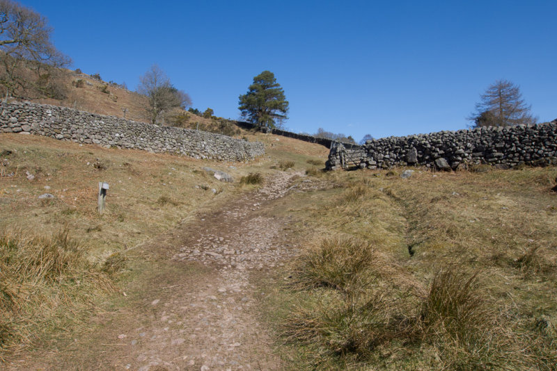
It was another fine, if chilly, day as I set of from Boot, with little wind.
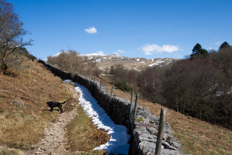
The path towards Wasdale followed a wall for a while, and was frequently blocked by snowdrifts.
Noce views towards the Slight Side ridge of Scafell.
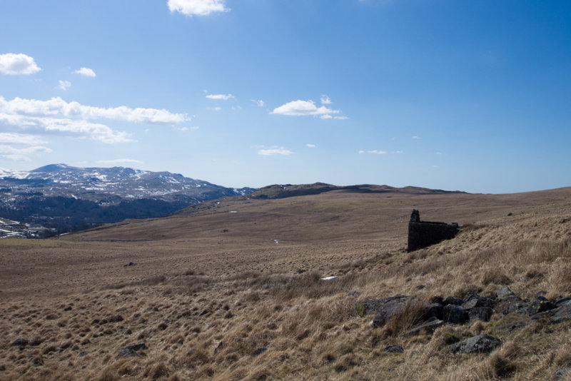
A ruined house was the sign to leave the main path and strike out across country to Boat How
Harter Fell and Green Crag looked very pretty.
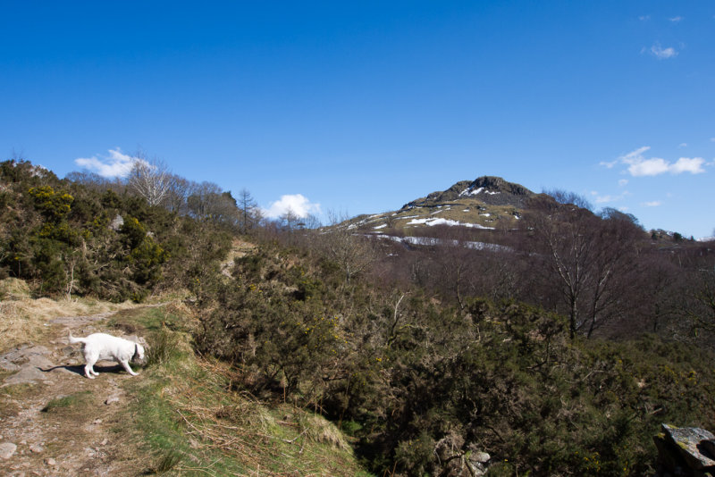
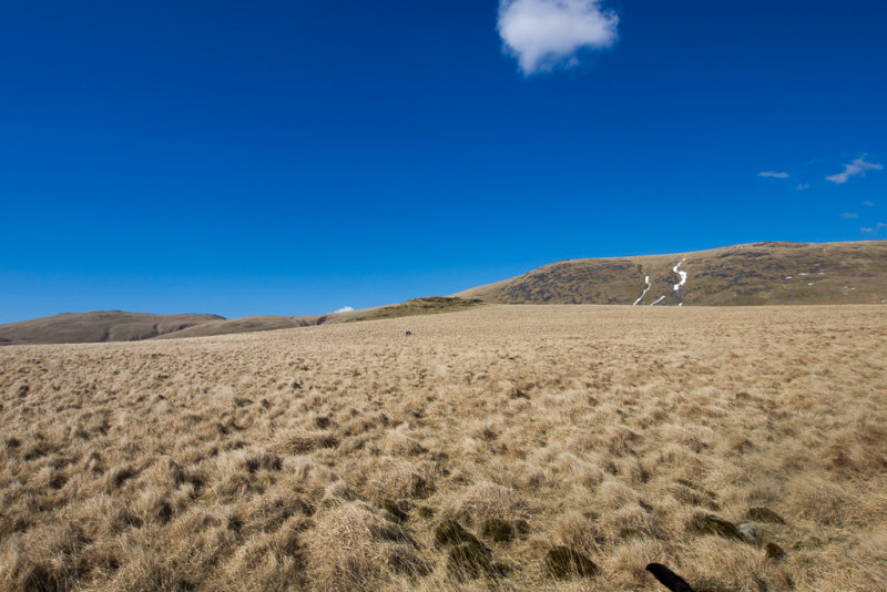
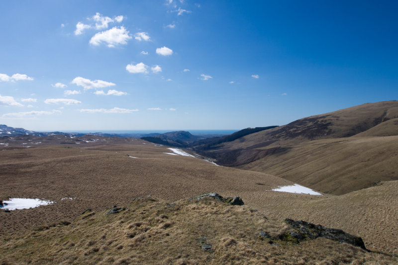
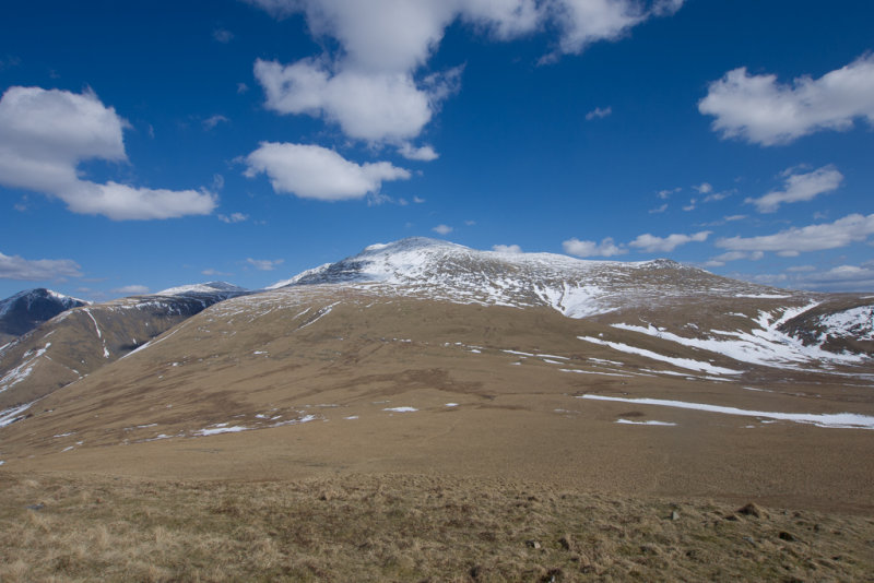
Approaching the top of Boat How.
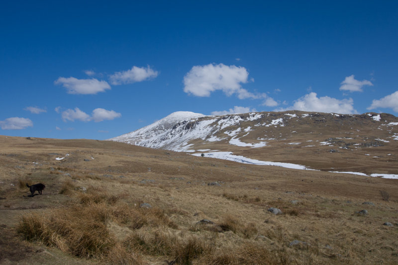
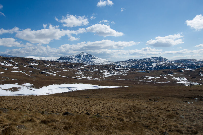
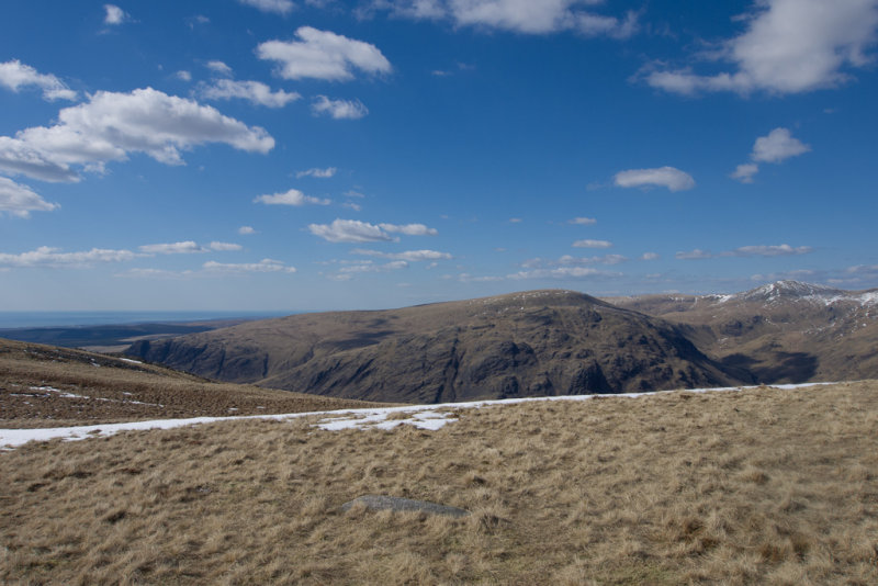
The view from the top.
After very little thought, I decided that it was far too nice a day to take the shorter valley route home, even if there were ancient remains to be seen, so I set off to round the far end of Burnmoor Tarn.
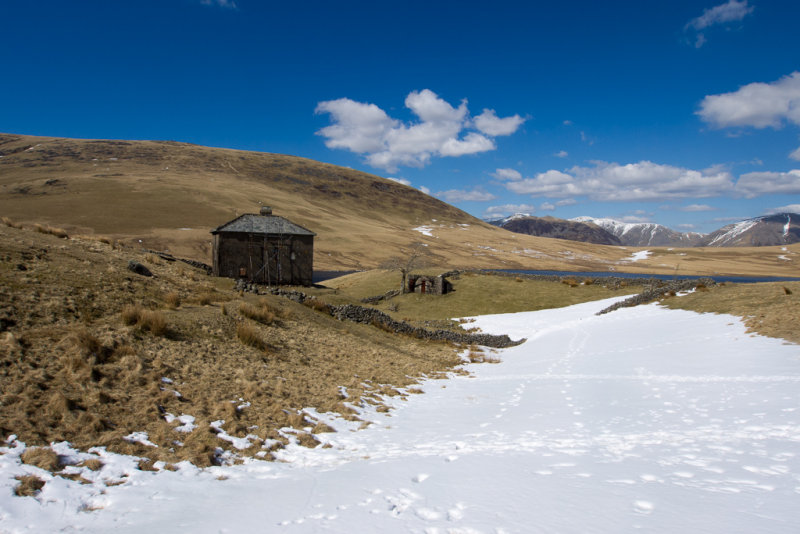
Burnmoor Lodge is NOT a ruin. Not sure how often it is inhabited though. A very pretty spot, but a little impractical as a plave to live, I would think.
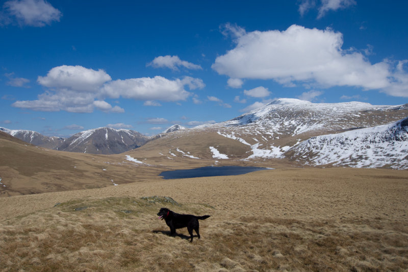
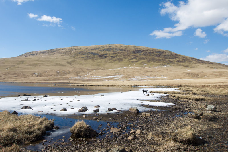
No tarn is too cold for the dogs - Gem even enjoyed fetching icebergs back to shore.
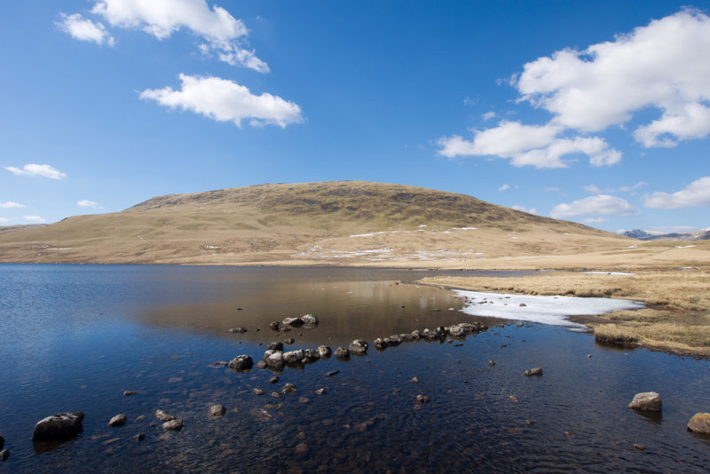
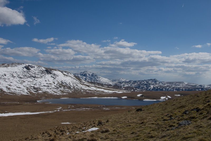
Illgill Head across Burnmoor Tarn
Ditto, with added dog.
Scafell and Slight Side
Harter Fell and Green Crag
Locating the start of the path up Illgill head from the old corpse road was a little tricky as there was a huge snow patch at around the point where the path should start. Plenty of footprints crissing it but no real consensus about where the path actually went. But I found a path that looked promising and followed it up the side of Illgill Head. The ascent is fairly steep, so I paused for lunch halfway up.
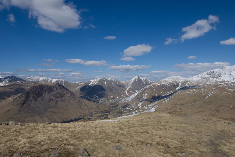
Yewbarrow, Gable and Kirk Fell, from the side of Illgill Head.
Last time I had been this way I was descending rather than ascending, and had not found a decent path that would make the gradient easier. This time, I did find a path that went at an angle up the fellside and curved round at the top, and it made a much easier climb than I had anticipated. The summit was soon in view.
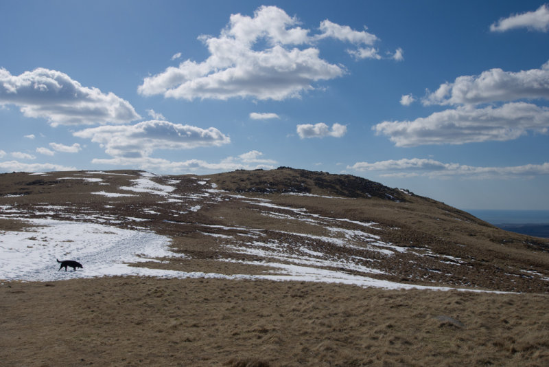
Approaching the summit of Illgill Head
Middle Fell, from Illgill Head
At this point my camera battery gave up again. I really should learn to charge/change every day.
The walk down the ridge over Whin Rigg was quite long, but very easy. Rather than turning off at the top of Irton Fell, I decided to carry on down the ridge with a view to going over Irton Pike. However I ended up on a path that went beside rather than over the top, and had lost too much height (and was too tired) by the time I realised this. It's only an 'outlying', not a proper Wainwright, after all...
Quite a trek back along the road from the Irton Pike car park to the cottage. I kept expecting Lorraine to drive past and offer me a lift, but sod's law dictated that she arrived home 5 minutes after I did.
A very pleasant day's walking.
