free to be able to rate and comment on reports (as well as access 1:25000 mapping).
Been putting these 2 off for a while, so decided to get them over & done with even though the forecast didn't look great. Read a few reports and decided to copy Johnny Corbett's plan and take a bike.
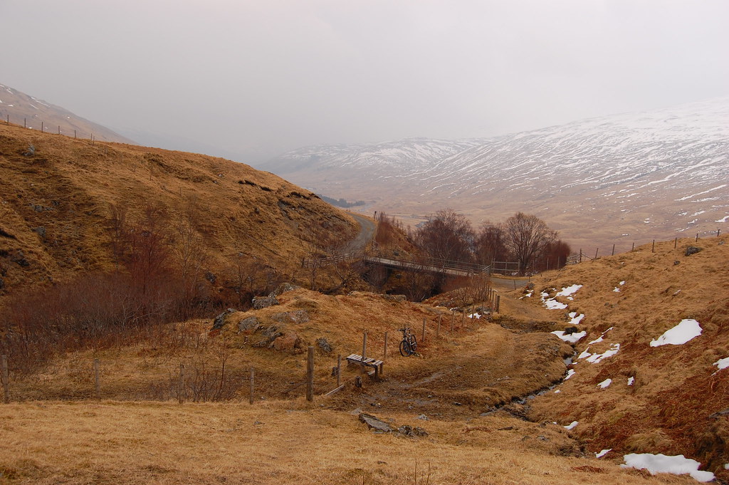
Large parking area was empty when I arrived around 7am:

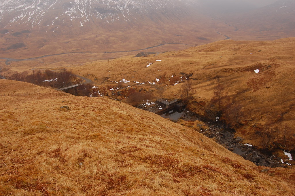
Tarmac road to start then landrover tracks. I went for the high road on the way out and the low road for the return. Both tracks fine for bikes but there are loads of gates on the high road which slows things down a bit. Parked bike at the dam:
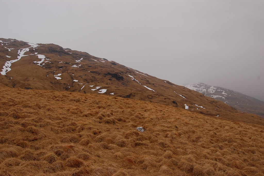
Then started the uphill grassy slog. Had a look over to the descent route which seems fine:
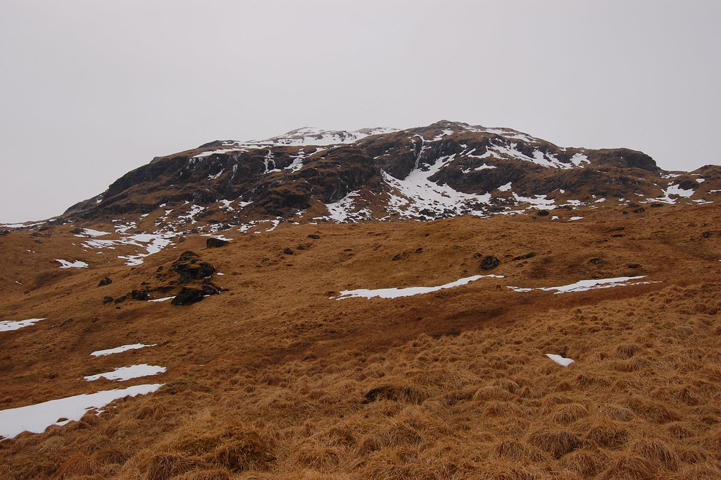
Craggy start to Sron nan Eun. Picked out what looked like an OK way up and went for it.
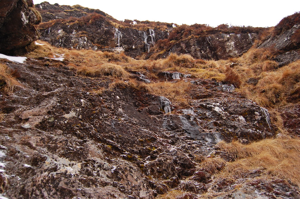
Grassy scramble in places, care needed as most of the hand holds had recently been visited by an incontinent sheep. Bit icy too:
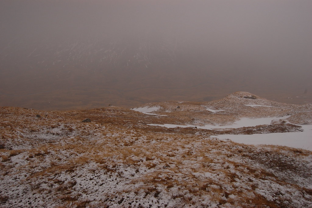
Light snow falling now which stayed on most of the day. Up and into the cloud so no views unfortunately:
Pretty much white out conditions further up but had map, compass and GPS so no probs. Tried using my natural sense of direction for a while but wound up walking in a circle and heading back down

so kept the GPS in hand for the rest of the walk.
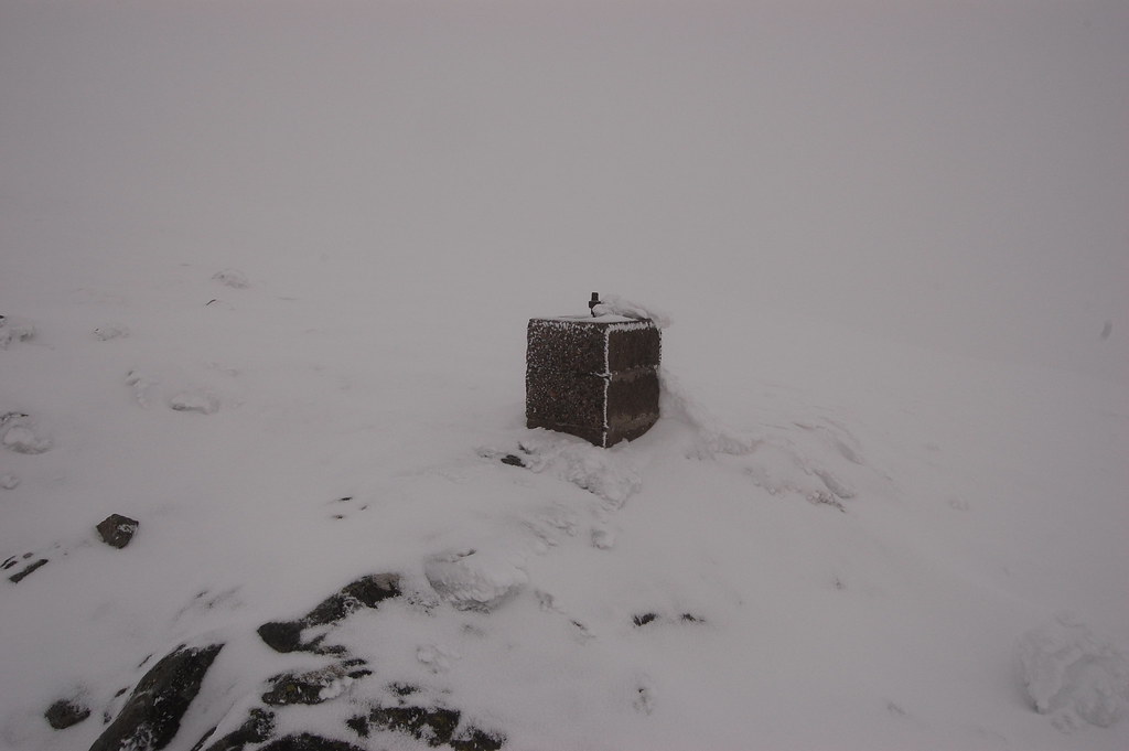
Trig point on Sron nan Eun:
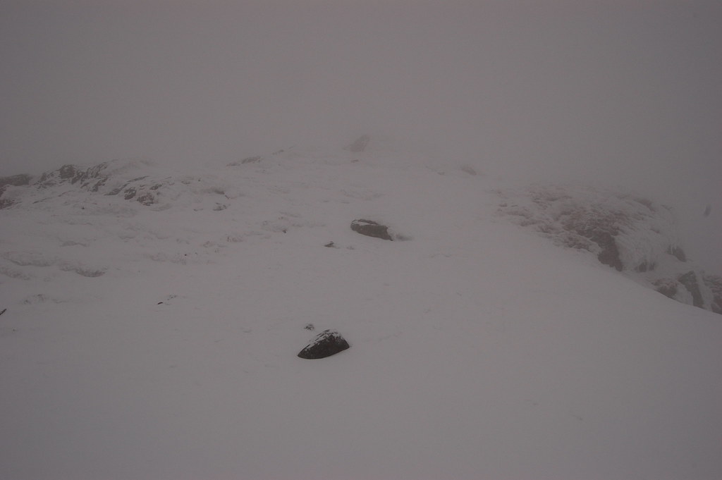
Got to a cairn, must be Creag Mhor:
Continued on, eventually descended under the cloud at the bealach leading to Heasgarnich:

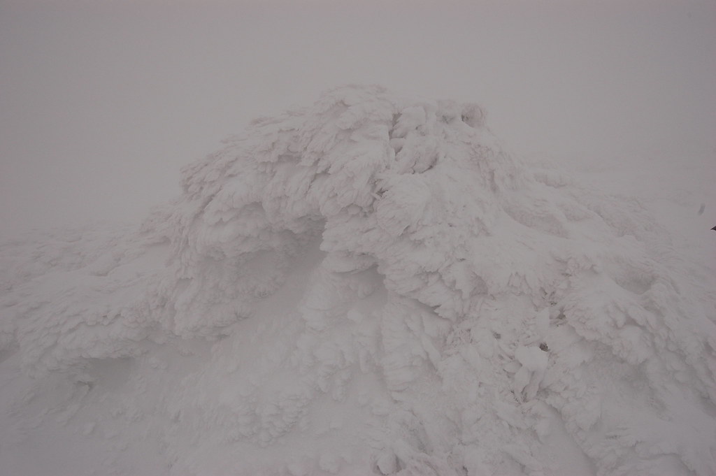
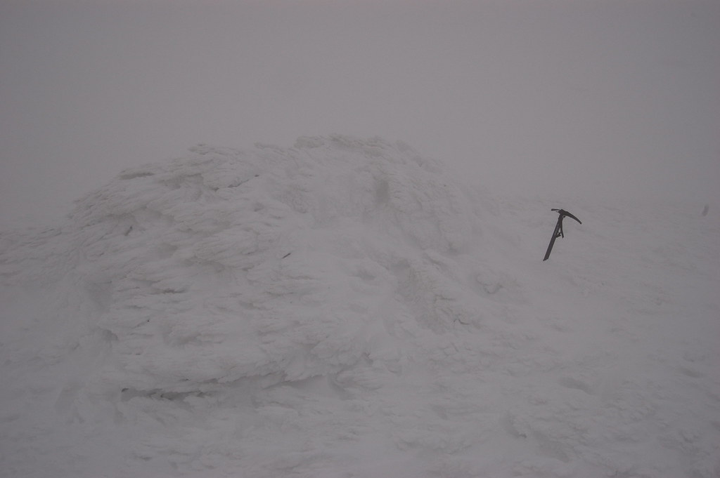
Then upwards into the white out again, snow a bit heavier now and wind getting stronger too. Followed GPS to another cairn, must be Heasgarnich this time:
Then started the descent, walked around a couple of tops on the way down and missed out the crags. Boggy bits were covered in snow and were easy to cross. Back down out of the clag:
Could see where I was going now so headed back across to the dam:
Ride back on the low road was easier, last field had highland coos but they were too busy eating/sleeping to bother about a cyclist. Actually found it relaxing walking about in a whiteout for some reason
