free to be able to rate and comment on reports (as well as access 1:25000 mapping).
Walna Scar Car Park - The Bell - Low Water - Coniston Old Man - Boo Tarn - Walna Scar
A bright yet windy afternoon and a plan to get out for an hour or two after work saw myself and Damson (John was part of the plan but backed out in the morning as he'd got his new orders from his missus) on our way to the car park at the base of Walna Scar above Coniston village.
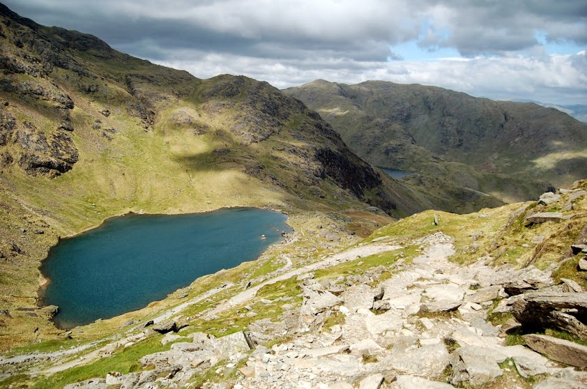
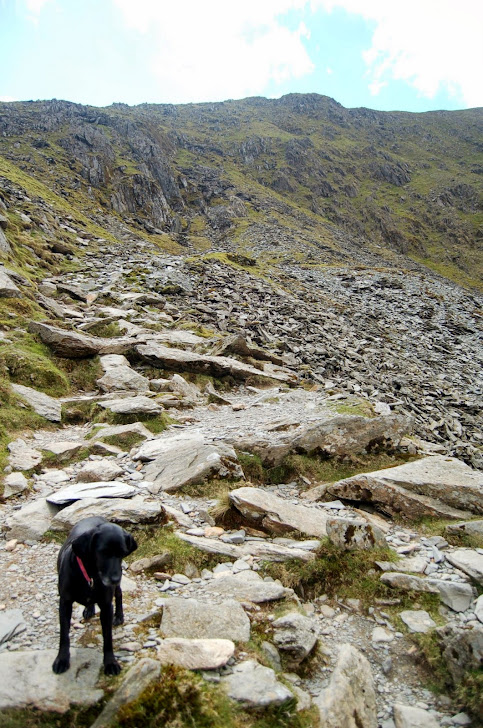
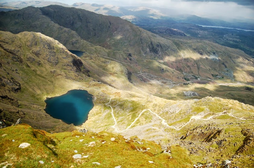
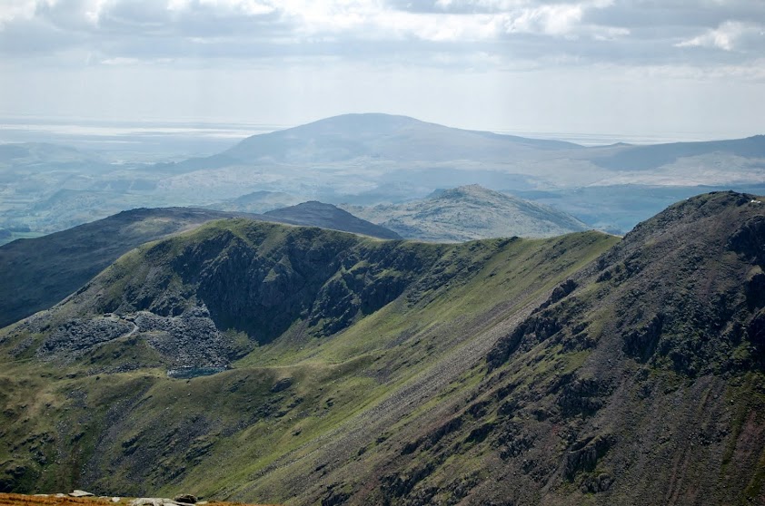
Armed with GPS and rucksack we headed up the northerly path towards the copper mines and hooked right at the end of the path onto the little lump known as The Bell. The wind was already very strong at the base of the Old Man and would continue to grow as we progressed with the only shelter being when in the walled gullies on the way up. From the Bell we took the standard tourist route up to Low Water and then headed up to the summit. My main challenge for the day was to out climb a small group of hikers and find & sign a number of geocaches along the route without falling behind them. It was fairly close at the start as we headed up to the half way point with the large stone shelter buildings but I got away just as the head of the party turned the corner onto the flat. They must have turned back at Low Water as I didn't see them again after their stop by the shore.
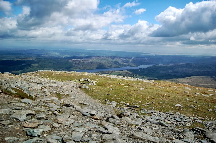
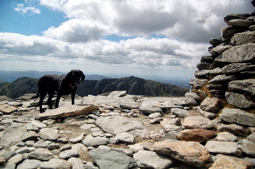
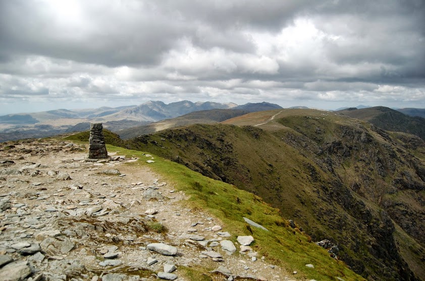
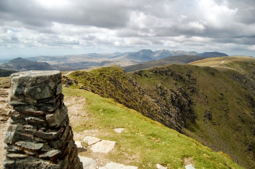
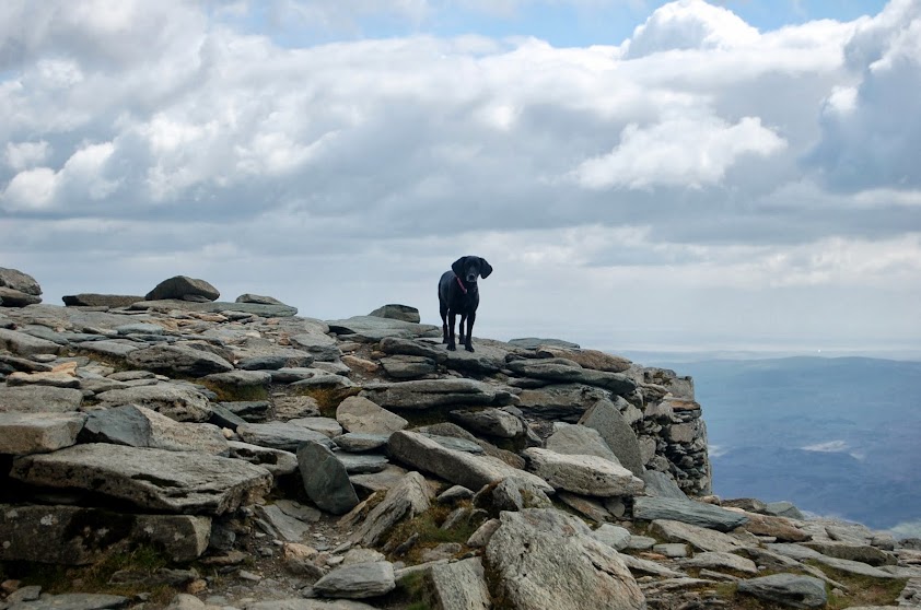
By this time I was on the final stretch to the top and the wind was so strong I could hardly stand up. When I finally got to the summit everything calmed down for 10 minutes allowing me to take a few photos and grab a mini pork pie. Damson got away with being unceremoniously dumped on the trig point for a photo but I caught a few of her promenading about on the summit rocks. We had the top to ourselves for the entire time which was nice and peaceful.
I decided that Dow Crag would be a little dangerous in that wind and had been meaning to do the Boo Tarn path for quite a while so took today as an opportunity to walk down the slightly more sheltered side of the mountain.
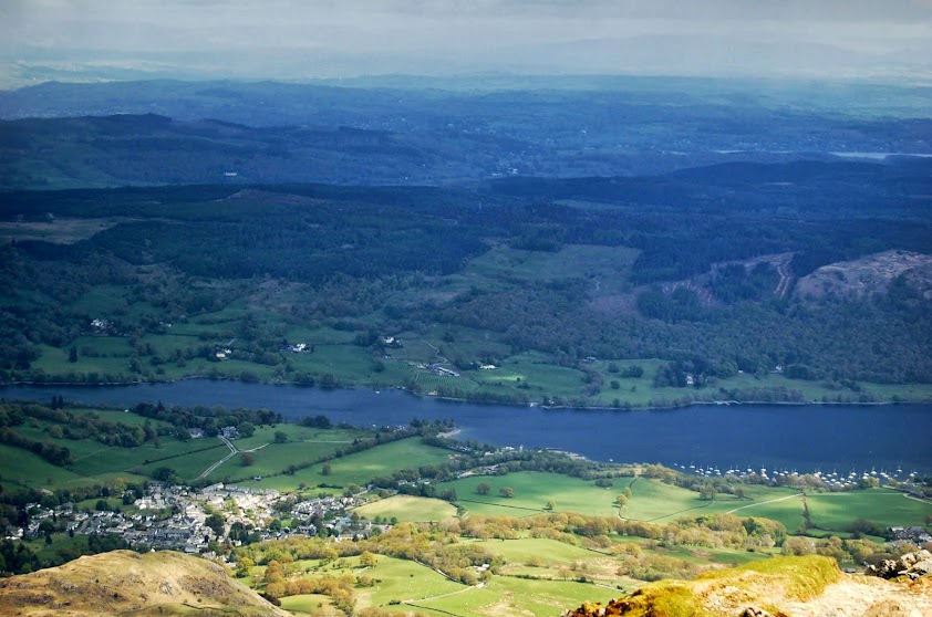
Almost immediately, it felt like a completely different mountain to the one I've climbed in many different directions before with gentle grassy slopes and views out towards Coniston Water. Another series of caches led the way back down to the somewhat disappointing Boo Tarn (compared to Low, Levers, Goats, etc.) and the remaining stretch of the Walna Scar road leading back to the car park.
We were up and down in less than 3 hours and although the weather generated a challenge it felt fairly easy under foot and I left some energy in trhe tank to tackle some more over the weekend.
A few piccies from today :


The link below is to an interactive 360 panoramic view from the Old Man summit generated from around 20 photographs, please take a look.
http://www.dermandar.com/p/dxKPgb/coniston-old-man-360