free to be able to rate and comment on reports (as well as access 1:25000 mapping).
Grahams: Oreval, Tiorga Mor
Sub 2000's: Huiseabhal Mhor
Date: 03/06/2013
Distance: 24 km
Ascent: 1710 m
Time taken: 7 hours 30 minutes
Weather: Warm but with mist above 400m. Occasional sunshine.
(Please excuse the spelling inconsistencies in this report. I was looking at two different maps, so some of the spellings are in the correct Gaelic while others are the English corruptions. I can't face going back through to make everything consistent!)With a meeting in Stornoway looming, I decided to make the most of my trip over and take a day off to go walking. I couldn’t justify taking a car over, either as part of the job or personally (an extra £90 or thereabouts), so I went for the lo-fi option instead. Bus to Ullapool, foot passenger on the Stornoway ferry, and 3 nights in the Hebridean Hostel. Since the weather didn’t quite play ball, there are more photos from the ferry here than there were from the walk!
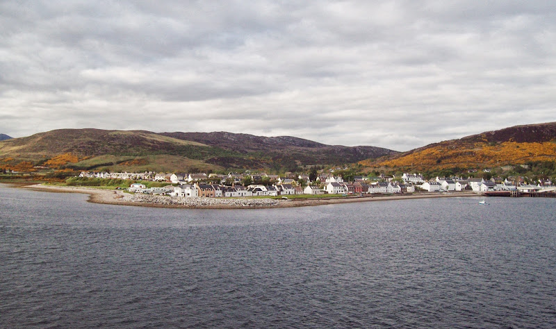
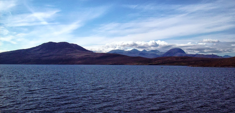
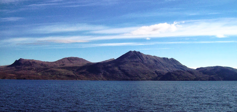
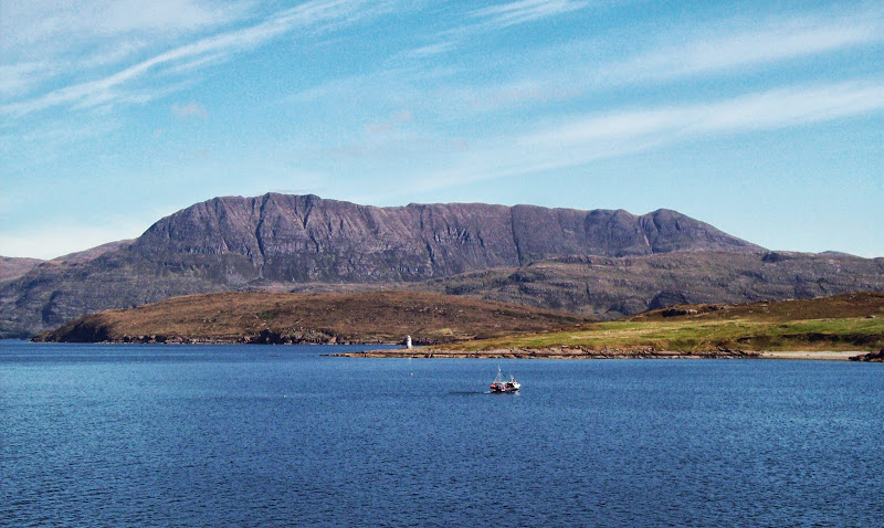
It was a bit of a dash up from the in-laws’ in Dundee to make the Sunday afternoon bus, but I was rewarded with some pleasant weather in Ullapool, and an hour or so to sit outside the Seaforth with a pint. The weather stayed good for the trip over, hence the endless photos of the west coast that follow. The Sunday evening ferry was heaving (mainly with locals), definitely proving its need to the people who had obstructed it for years.
Leaving Ullapool:
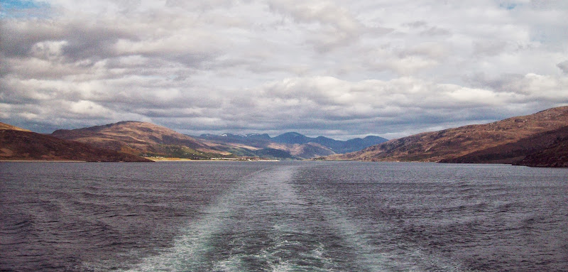
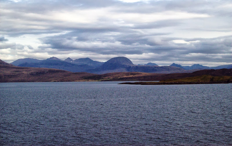
Beinn Dearg:
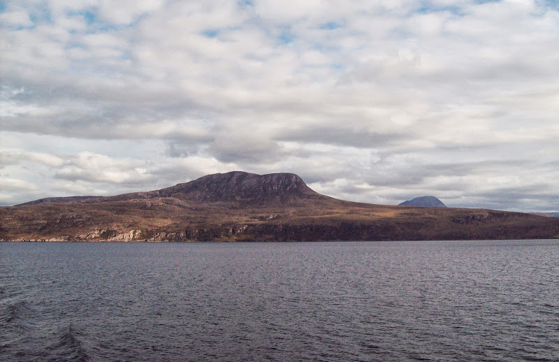
Bheinn Ghobhlach:
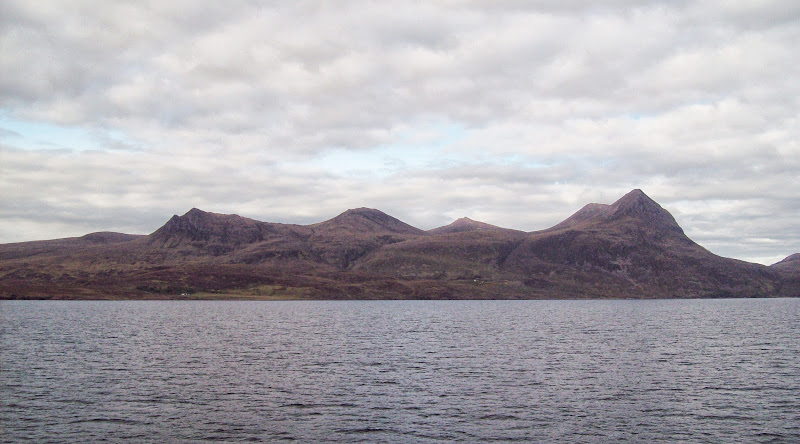
Beinn Mhor Coigach:
An Teallach, Sail Mor and Fisherfield:
Suilven to Coigach:
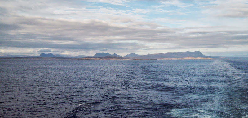
Cul Mor to Coigach:
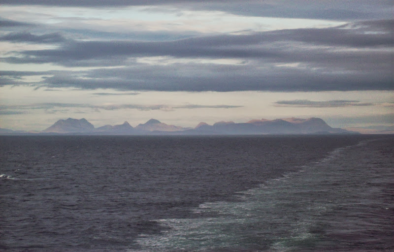
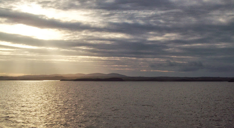
Approaching Stornoway:
I was almost straight in bed once I arrived as I had an early start. The hostel was comfortable and had good facilities, but unfortunately I was sharing a dorm with Mr. sleep apnea and Mr. teeth grinder, so I didn’t get as much rest as I would have liked.
I was up and away by 7am the next day, with a grand plan to hitchhike down to North Harris and do a big traverse of all of the 2000ft summits. This looked like being a 10 hour day, so it wouldn’t fit between busses. If I didn’t have any luck hitching, the backup plan was to jump on the bus as far as the Bun Abhainn Eadarr turning and do a circuit of Uisghneabhal Mor and Clisham.
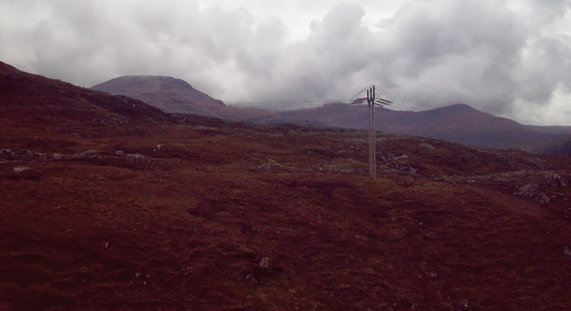
Pairc area:
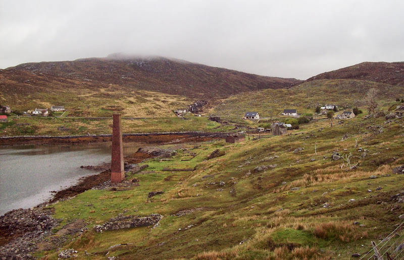
As it was, through 3 different lifts and about 4 miles of walking, I got to Bun Abhainn Eadarr shortly after 9am – a good hour and a half earlier than the first bus.The weather had been sunny on Lewis, but turned to low mist once at Ardvourlie. Regardless, I decided to keep with the original plan and tried hitching to the power station road at Amhuinnsuidhe. While the chances of someone stopping to offer a lift on this road are quite high, the chances of anyone actually driving past aren’t, so an hour and a half later, I had walked as far as Meavaig and decided to give up on the full traverse. Given the low cloud level, it would be a great excuse to come back anyway.
Bun Abhainn Eadarr:
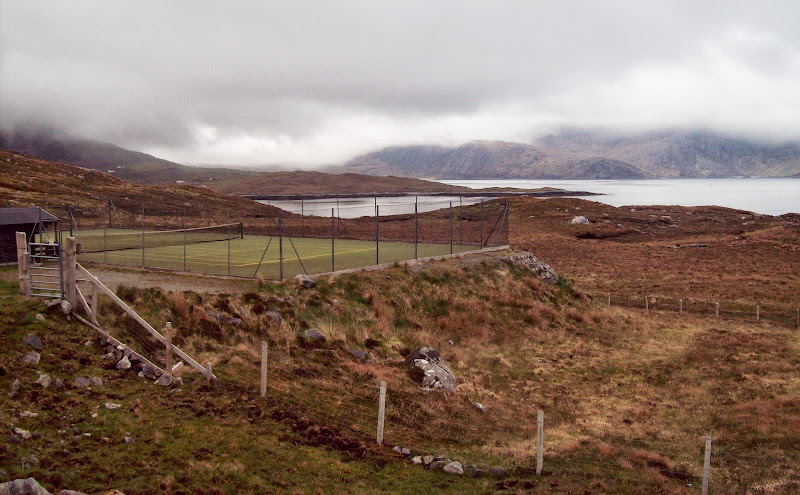
Scotland's remotest tennis court:
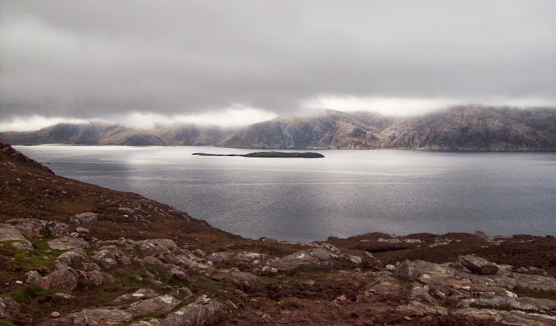
East Loch Tarbert:
I walked up Glen Meavaig with Oreval initially in my sights. I still thought I would traverse east to Clisham at this point.
Sron Scourst and eagle hide:
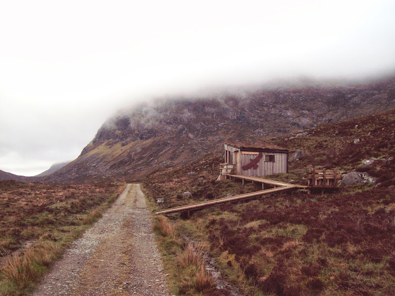
The glen was echoing with the sound of multiple cuckoos, which cheered up a rather grey outlook. There is an eagle hide at Loch Scourst – I waved to a guy inside, before ploughing up the steep SE ridge of Oreval, probably scaring off any eagles he was hoping to see (in fact there was one circling the cliffs just below the cloud line).
Sron Scourst and Loch Scourst:
SE ridge of Oireabhal:
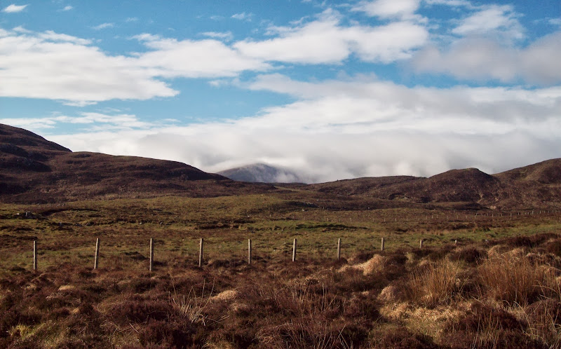
The ridge was very steep, and quite heathery lower down. Soon this changed to shorter grass and smooth slabby paving stone-like boulders – my favourite kind of walking. Sadly I was in the mist, so no views. It did thin a couple of times, with the sun almost breaking through, but I didn’t get any views. I had a quick break on the top before heading for Ullaval, which is where I made a bit of a blunder. The first section of ridge wasn’t obvious, and I was vaguely aware that some of the rock around here was magnetic. I took a bearing anyway, but didn’t have much faith in it, so ended up weaving around a lot.
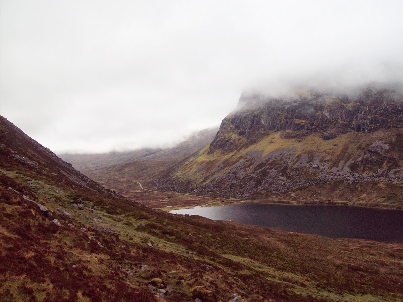
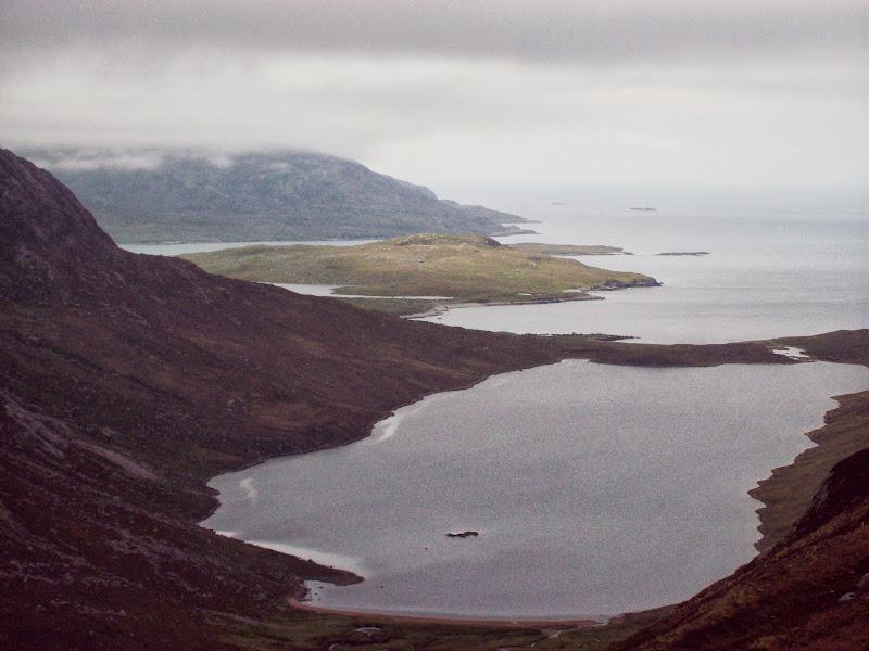
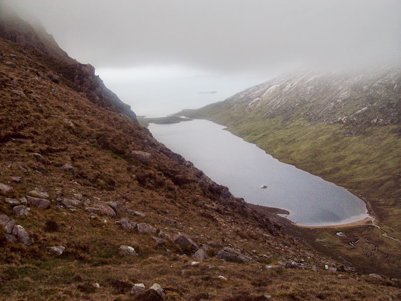
I had a sense that I was probably dropping too far to the east, but the ground on my right didn’t appear quite as I expected, so I kept going down. Eventually the cloud thinned, and I could see down into Loch Chliostair, confirming my thoughts. I was probably still at about 500m at this point, but couldn’t be bothered going back up, so I made a quick change of plan and decided to head for Tiorga Mor instead. The cloud was thinning, and there was a bus back to Bun Abhainn Eadarr from Hushinish at 5pm that I could use, so it seemed like a good idea. It would also leave me the easier to reach summits for a future public transport trip, if I wasn’t back with a car in the meantime.
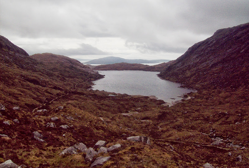
Loch Chliostair:
I traversed roughly out to Loch Ashavat, dodging lots of ankle trapping terrain until I hit the good Sron Ulladale path. Finally there were some good views, with even a little sunshine over the western Lewis hills to the north. After the concentration of crossing the rough ground I switched off and immediately slipped on the stepping stones crossing the Eaval, falling in and grazing my arm quite badly. This probably had a lot to do with not wanting to dislocate my shoulder again. It was pretty much a year to the day that I last popped it out of its socket – shamefully on an insignificant clod of earth in Shropshire. So this time I went to great lengths to avoid landing on it in a funny way. Result – lots of blood, but a pretty superficial injury really.
Looked worse than it was:
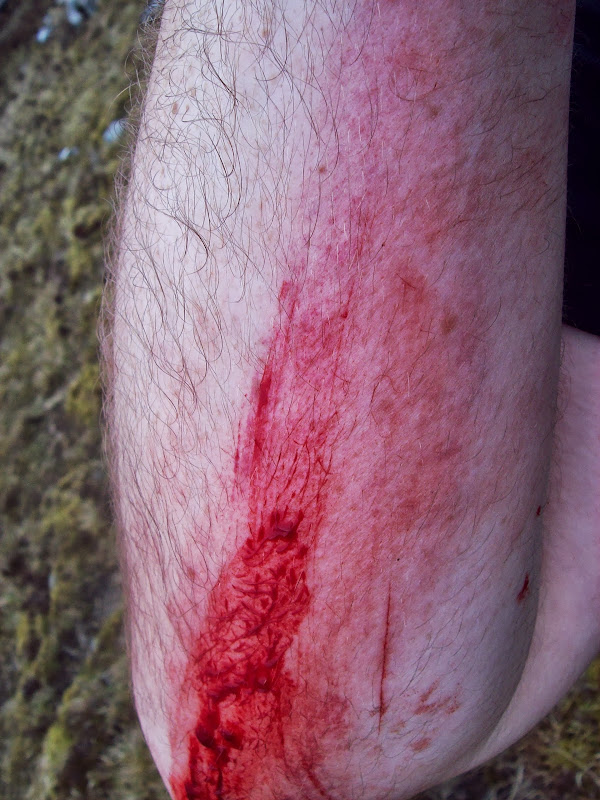
I started climbing up Tiorga Mor from the lochside, giving the graze some time to clot up before washing off the rather dramatic excess blood. It was fine after that. I was heading back for the cloud again, but before I went in, I got some nice views over Sron Ulladale. Not the best angle to appreciate it from, but impressive nonetheless.
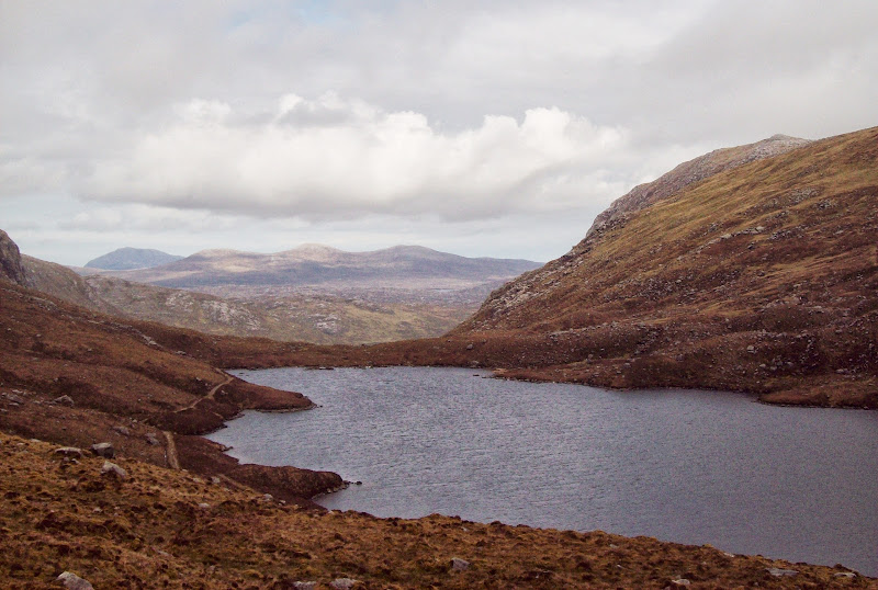
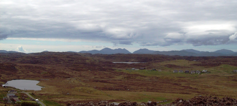
Loch Aiseabhat and the hills of southwest Lewis:
Sron Ulladale:
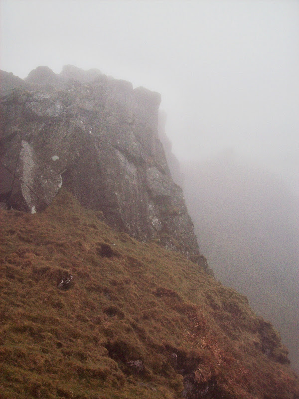
I was disappointed with clag again on Tiorga Mor, particularly as it had an impressive rocky summit with a narrow NW ridge. There were even a couple of scudding bits of blue sky above, but again no views.
Tiorga Mhor:
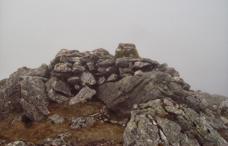
Summit ridge of Tiorga Mor:
South Harris:
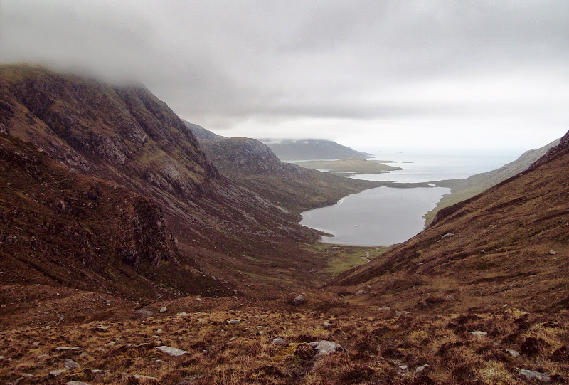
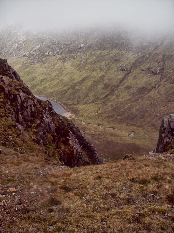
I had plenty of time, so decided that my last chance for views would be the lower summit of Huisval Mor. This looked really impressive on the map – indeed the adjacent Glen Cravadale was one of the first things that had drawn my eye when I had first opened an OS map of this area years ago.
The NW ridge was easy but fun – much like the summit ridge of the Uist Beinn Mhor. Then it was down over more ankle-trapping rocky terrain to the col at the head of Glen Cravadale. I realized that I’d probably made the wrong choice weather-wise, as the cloud had dropped more in the west, and was probably clearing further east. Views down the glen were impressive – Huisval Mor was very much like Beinn Lair in Fisherfield, albeit a bit shorter.
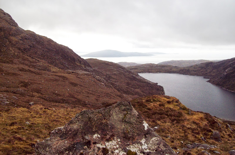
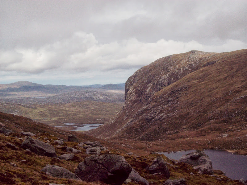
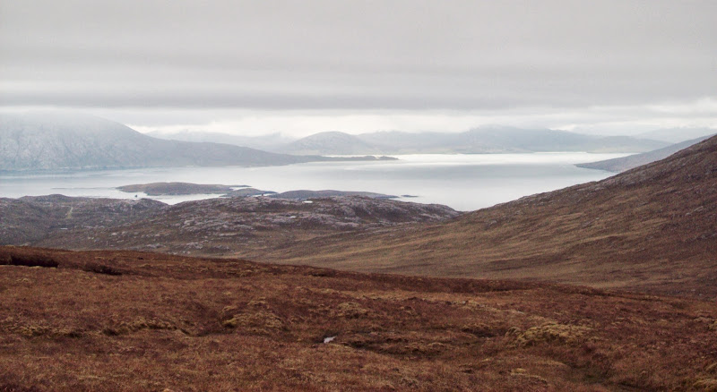
Huiseabhal Mor and Glen Cravadale:
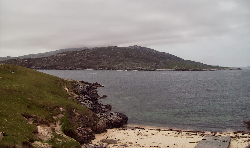
Loch a' Ghlinne and Scarp:
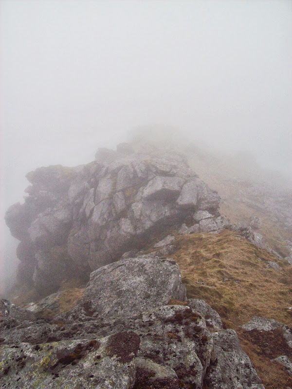
Sadly it was back into the cloud again for the summit. I could see that the NE facing cliffs would be as impressive from above as below if you could actually see them. I decided that I would drop down to Hushinish from here, taking the shortest line. I could get the bus from anywhere along the road, but Hushinish was a place I’d always wanted to go.
Some big cliffs on Huiseabhal Mor:

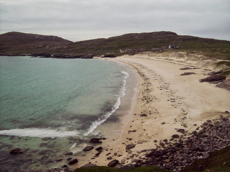
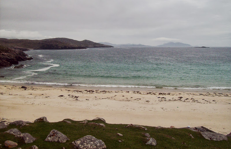
It was quite rough, but didn’t take long to reach the road and walk the last half mile to the beach. Finally the grey waters looked blue like they do in all the best Hebrides photos. I took a quick stroll over to the pier to look across to Scarp, and was rather surprised to hear someone call my name. It was Kinley and Hazel! Possibly the most unlikely place to meet anyone you know. They had camped out here and spent the day wandering the coast, so they offered me a lift back in the Tarbert direction.
Huishnish:
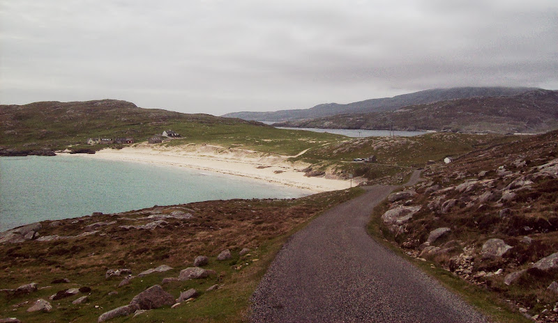
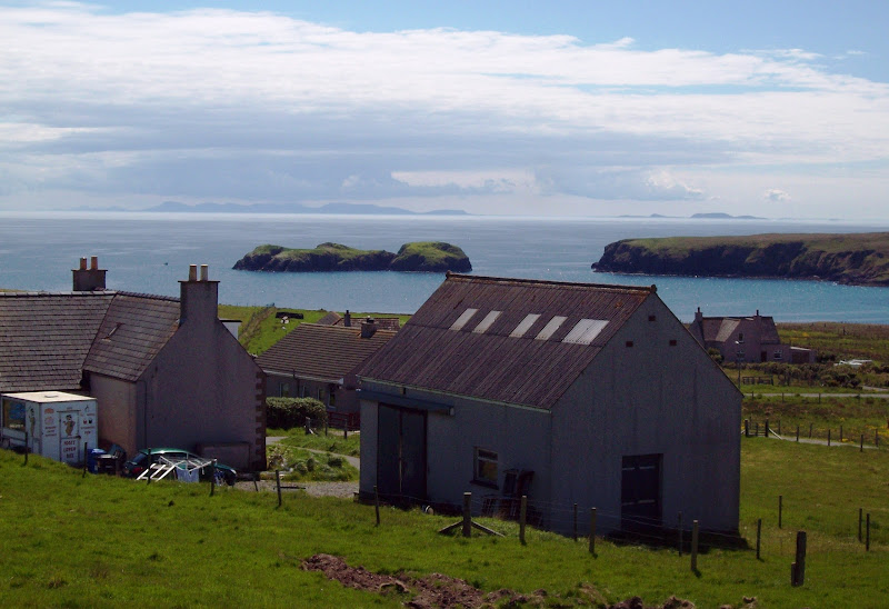
Grey skies, blue waters:
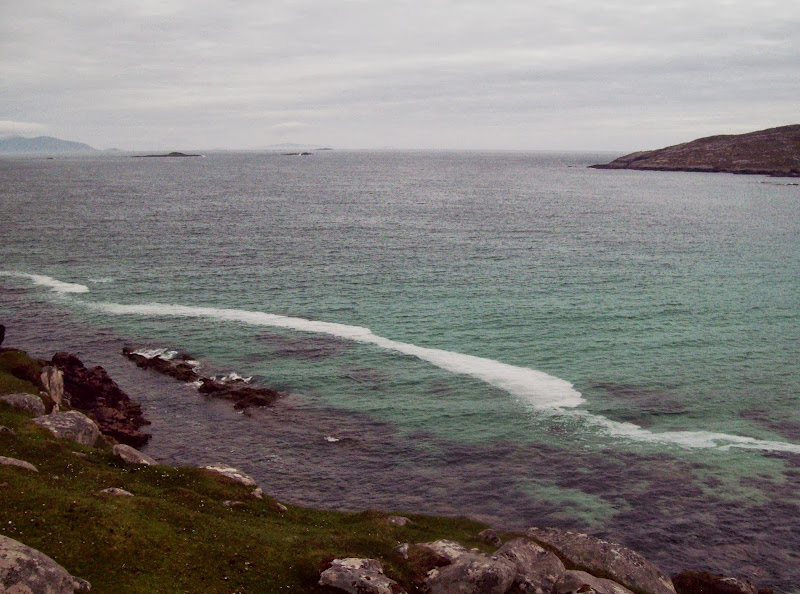
Scarp from Huishnish pier:
It was nice to catch up, and after they dropped me back at Bun Abhainn Eadarr (Tarbert bound), I only had to wait another 10 minutes or so to get a lift as far as the garage at Leurbost. Another lift back into Stornoway followed quicky after, from a guy who had spent the day out on Great Berneray watching a basking shark that had come close into shore. Typically, Clisham was out of the clag by then, and the drive over the pass from Bun Abhainn Eadarr to Ardvourlie was one of the most impressive bits of road in the UK.
Clisham on the way home, clear of cloud:
The weather was far better the next day. Fortunately my meeting included a trip round a few sites, so I was able to get more great views of the hills I'd been on the day before

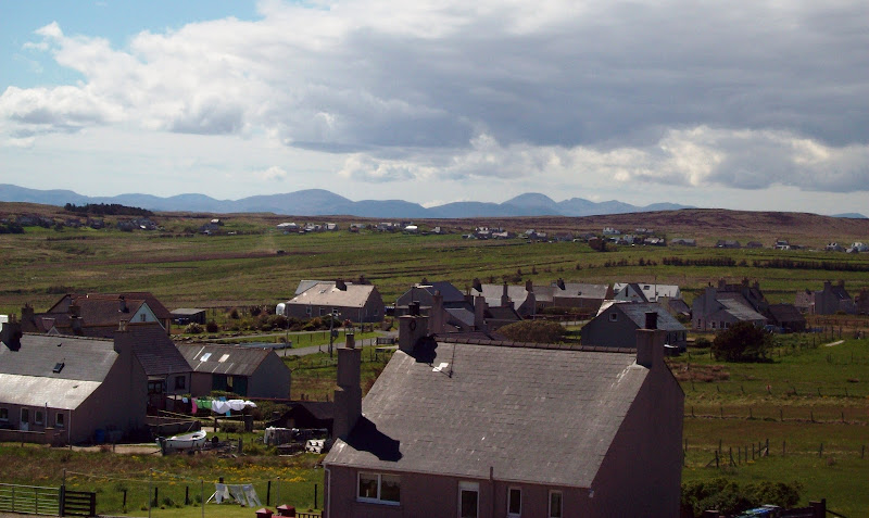
Clisham and Uisgneabhal Mor from above Carloway the following day:
...and again from the Eye Peninsula:
Skye and the Shiants from the Eye Peninsula:
Then on the Wednesday morning, the mist which sat over Stornoway burnt off to a stunning morning by the time the ferry approached Ullapool. I was scheduled to arrive back in Inverness late morning, so I was going into work for the rest of the day. Probably my best commute into work this year!
Bheinn Ghobhlach, An Teallach and Sail Mor:
Beinn Mhor Coigach:
Despite the lack of views, a great trip, which felt much more like a holiday than it should've done. I've never really relied on hitchhiking as a way of getting around before, but it works really well on the Western Isles, as people are generally very friendly and willing to stop.
