free to be able to rate and comment on reports (as well as access 1:25000 mapping).
With Scotland basking in the sunniest spell I can remember since last May, there was no alternative but to head to the hills and take advantage of the unseasonable warmth (our summer's usually over by May, isn't it?

) After a wonderful day in the Luss Hills the week before, I felt it was time to finally kick on with the Munro-bagging. After scouring the popular routes I eventually settled on a visit to the Monadliath, and the long circuit of A'Chailleach, Carn Sgulain and Carn Dearg. I'd never climbed three Munros in one day before, but Carn Sgulain sounded like a bit of a skoosh and I would have the fenceposts to guide me to Carn Dearg. To my surprise, in the final days before the climb I found that a Graham sits at the end of this route, as climbed by Rockhopper and Johnny Corbett. Sold. Get me on the next train to Newtonmore.
 968949_10152929168755014_1134543241_n
 by
Craiging619, on Flickr
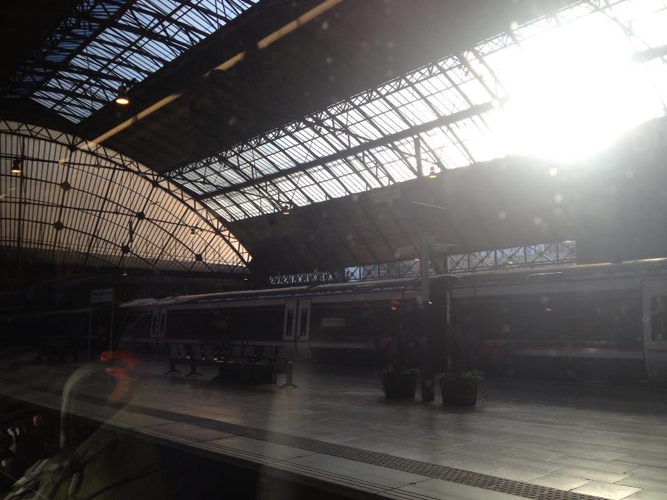
The 7:10am train from Queen Street was fairly busy with hillwalkers and Rock Ness music-goers.
 993091_10152929168760014_1560743824_n
 by
Craiging619, on Flickr
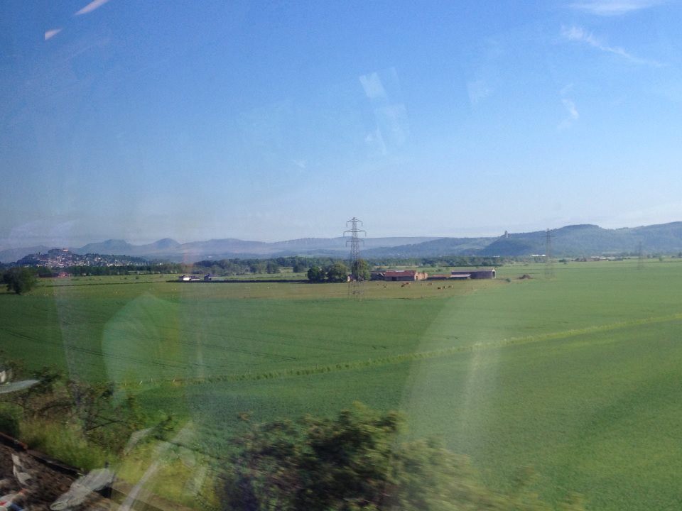
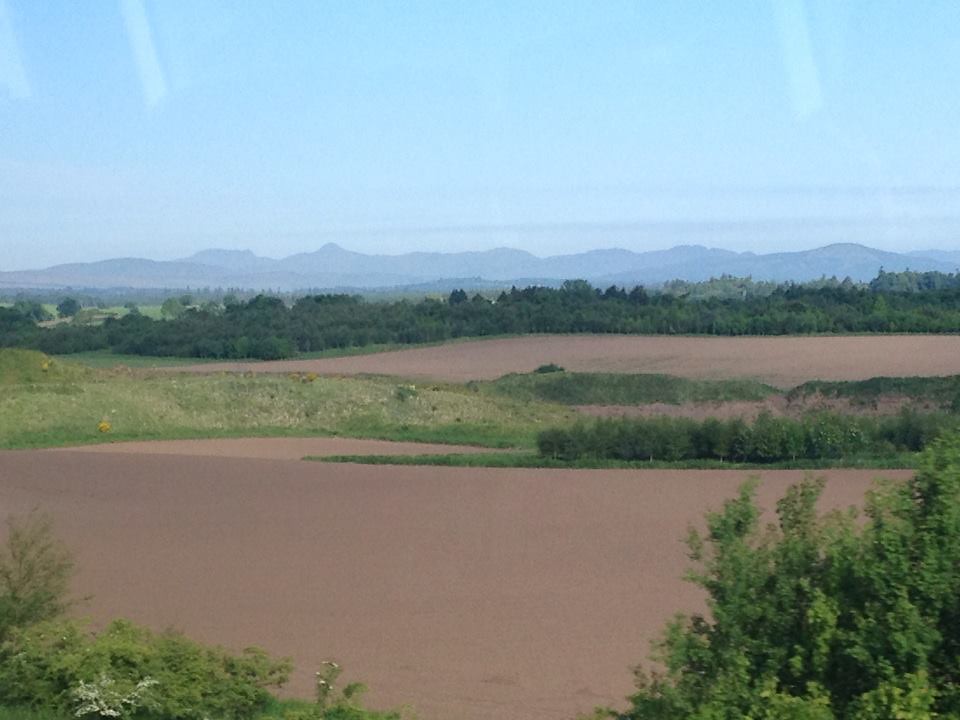
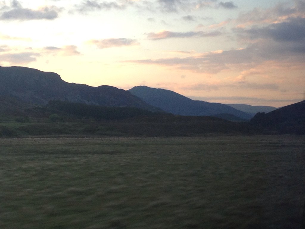
The views started to open out around Stirling, with Stuc a'Chroin and Ben Vorlich in front of the Castle.
 10640_10152929168770014_21777399_n
 by
Craiging619, on Flickr
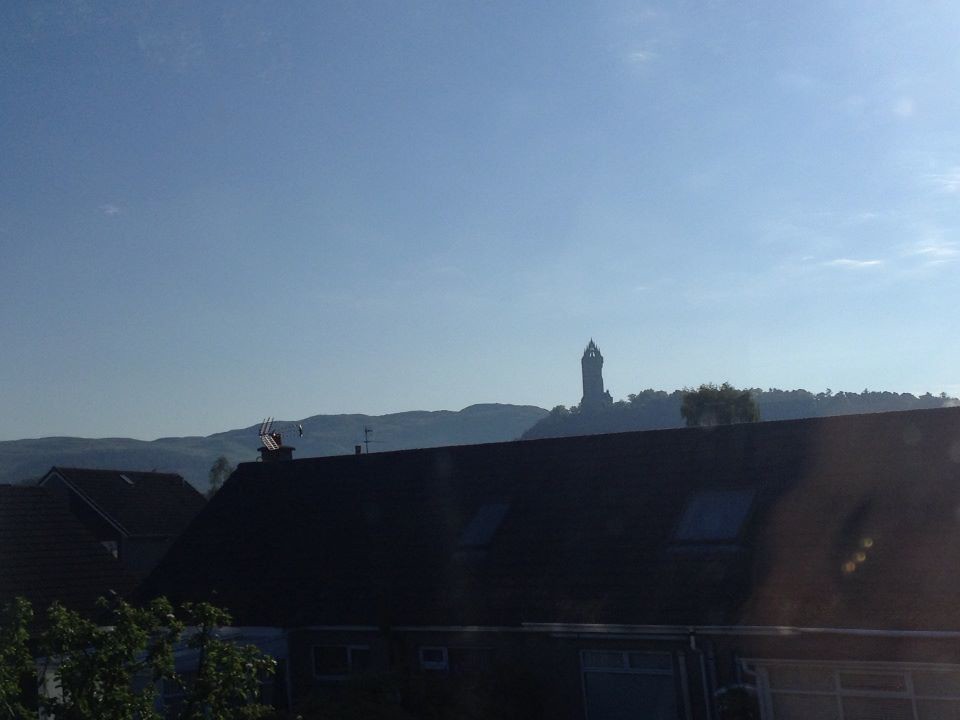
A ghost observes the cracking view of the Ochils.
 1001446_10152929168775014_1480574419_n
 by
Craiging619, on Flickr
YES!!!
 994288_10152929169810014_1727669550_n
 by
Craiging619, on Flickr
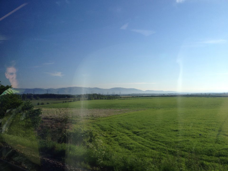
Vorlich and Stuc A'Chroin were clear as day for much of the journey. I'm not sure of the names further East.
 942898_10152929169820014_945327910_n
 by
Craiging619, on Flickr
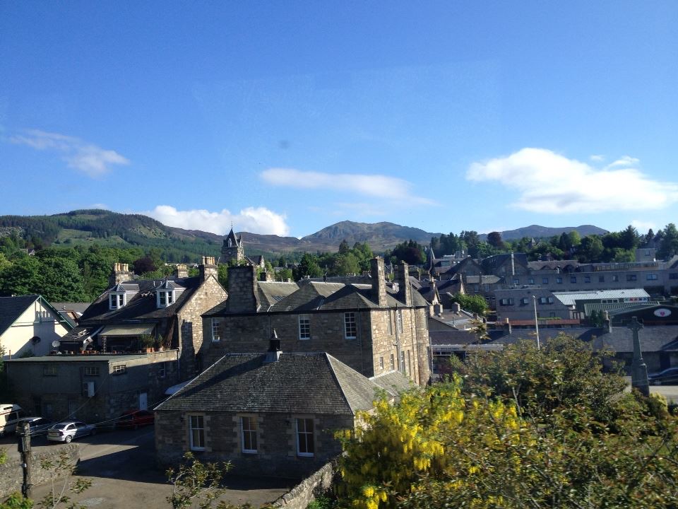
Ben Vrackie standing tall above Pitlochry.
 970229_10152929170575014_487176773_n
 by
Craiging619, on Flickr
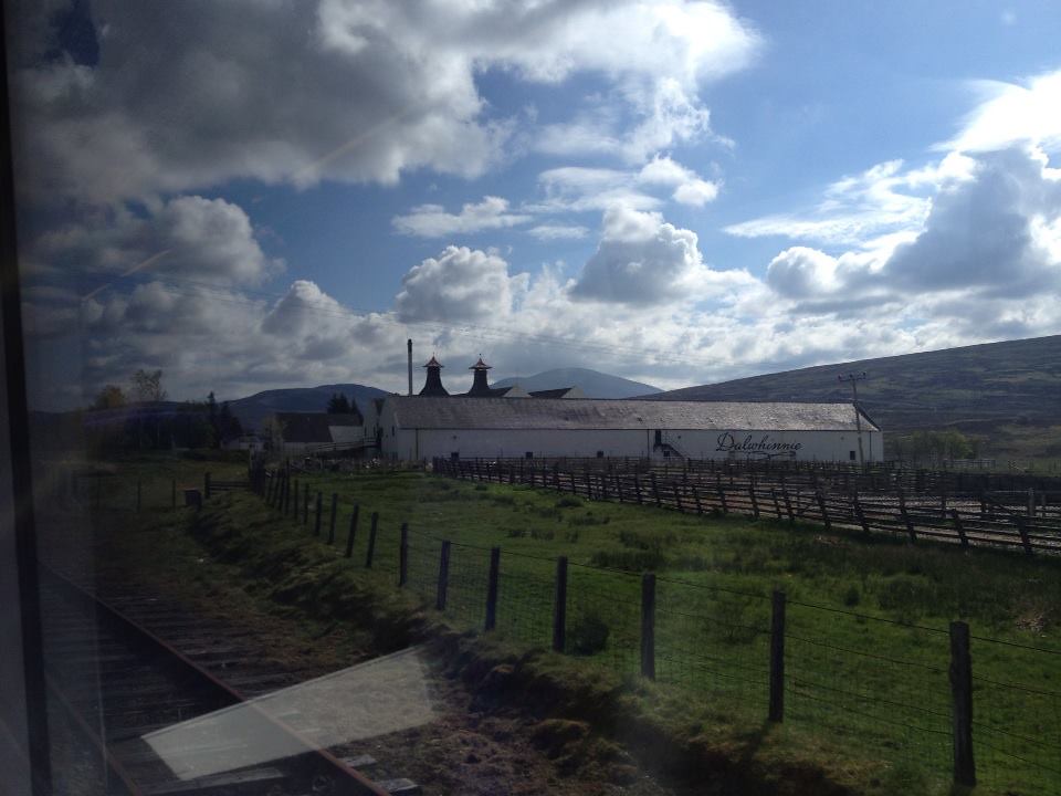
Dalwhinnie looking a fair bit nicer than the reputation suggests. Maybe because of the sunshine and the promise of whisky!
 1000893_10152929171570014_1052233973_n
 by
Craiging619, on Flickr
Goodbye civilisation!
After a journey approaching 2.5 hours, I was ready to go at Newtonmore. The route took me up past the edge of the town, through a thin path that weaved between houses and up onto a large grassy area following the Calder Path. Things had started to cloud over after Blair Atholl, but it was brightening up again, much to my joy. I've not had too many torrential downpours on my walks so far, but it's still unusual to see blue sky in so many directions.

 1006137_10152929171560014_665622665_n
 by
Craiging619, on Flickr
 1005118_10152929171555014_505903283_n
 by
Craiging619, on Flickr
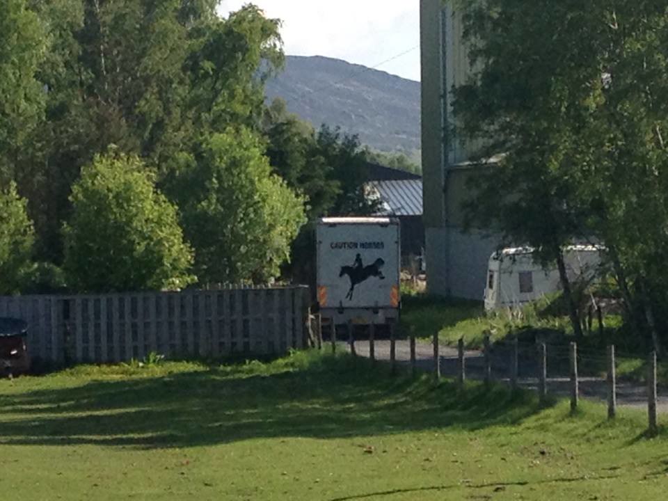
My favourite kind of horses are Caution Horses, ideal for showing calm and restraint at tough moments.
 994778_10152929172905014_1795940018_n
 by
Craiging619, on Flickr
 7796_10152929173810014_1234922487_n
 by
Craiging619, on Flickr
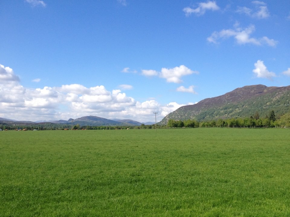
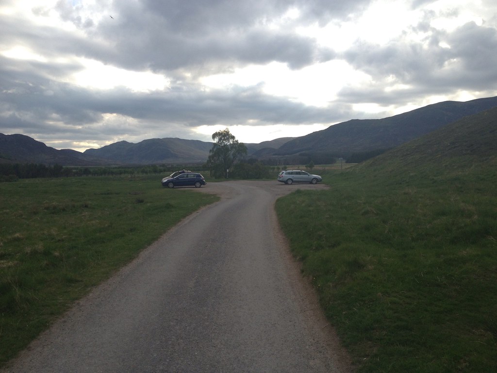
Eventually the grassy path led to the road, which I followed round to the car park in Glen Banchor. The views here were great, with the Graham of Creag Dhubh opposite and the Monadliath closing in from the North.
 1589_10152929173815014_268271182_n
 by
Craiging619, on Flickr
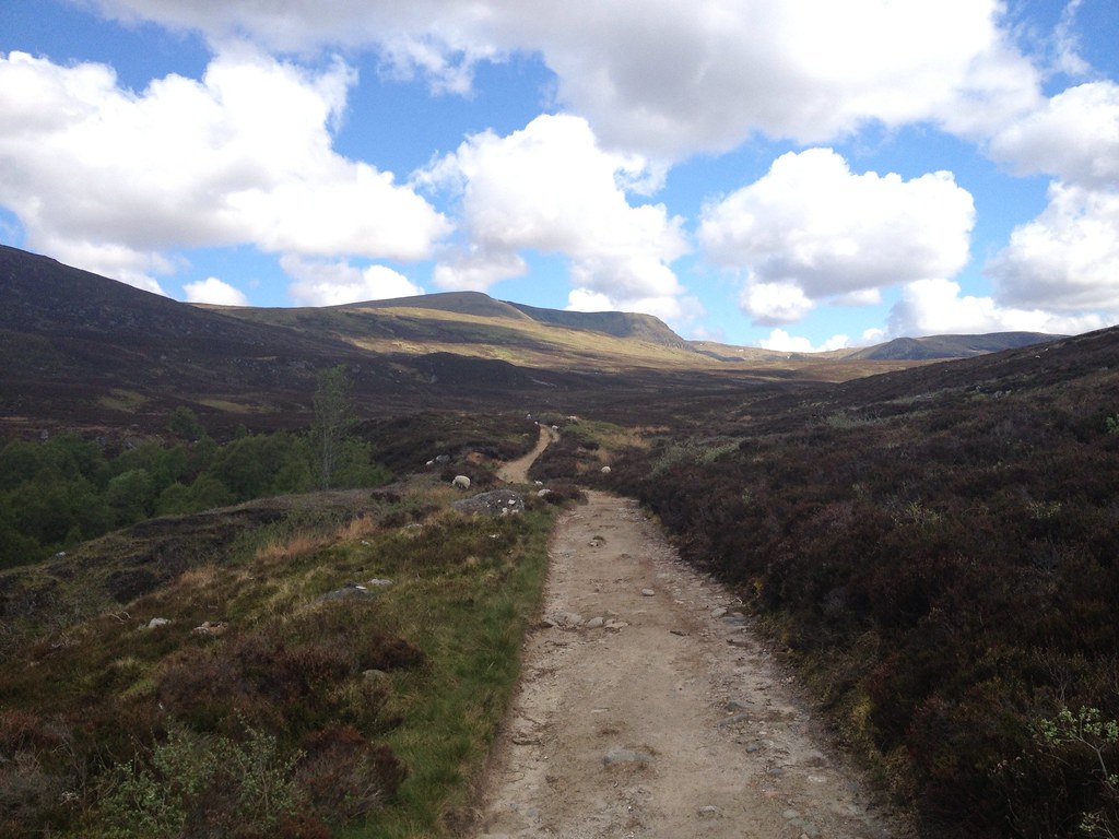
Leaving the car park just after 10am, I headed North up the clear track beside the Allt a' Chaorainn. The going here was easy, with a gentle incline easing my introduction to the Monadliath. I had never gone hillwalking North of Corrour before (save for a morning on Barra!), so I was initially quite daunted about coming to an environment vastly different from the hills of Arrochar, Luss, Arran or Galloway. The quality of the track was thus a big bonus as I got to grips with a new Highland landscape at last.
 991182_10152929193840014_1933816298_o
 by
Craiging619, on Flickr
Then the track gave up just before a fence. And it got a wee bit problematic.
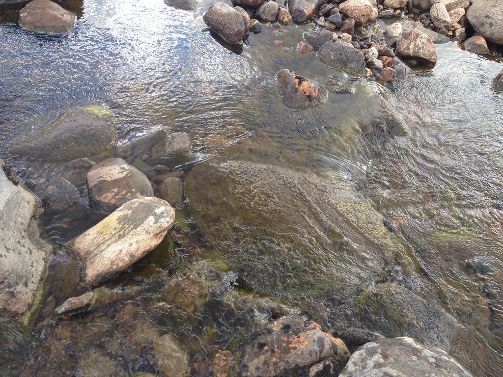
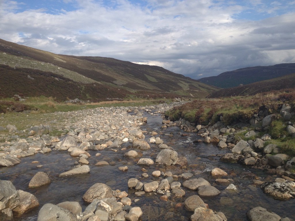
I knew the Allt a' Chaorainn would have to be forded, and with a complete lack of rain in the last week, the Monadliath were as dry as they were ever likely to get. But a river crossing is still a river crossing, and I'm not too keen on them under any circumstances. But having endured a 90-minute river slalom on Ben Vorlich last year without slipping, I assumed nothing would go wrong. Probably.
 990817_10152929166655014_361424286_o
 by
Craiging619, on Flickr
Damnit. Always thought that rock looked too slippy.
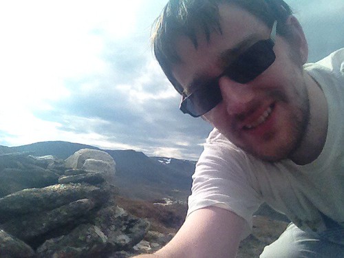
I fell crashing into the river, thankfully with no-one around me to witness the carnage or hear the yelping sound I gave. Picking myself up as quickly as possible, I could tell that my trousers were soaked, my brand new map was soggy and I had a sore backside. But worst of all, I had kept my phone in my pocket all morning. Surely the iPhone 4S could withstand a second or two of brief water damage in a low stream.
 1007582_10152929163785014_392667240_o
 by
Craiging619, on Flickr
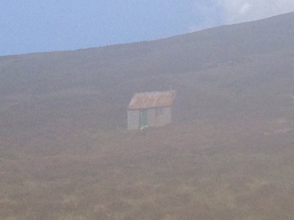
I stumbled up the hill, locating a faint path that headed towards the bothy on the eastern slopes of A'Chailleach. Thankfully my trousers would dry out in the heat and...hang on, there's something a bit wrong with that photo, isn't there? It's not misty today: in fact, far from it.
 990951_10152929163320014_323076955_o
 by
Craiging619, on Flickr
Oh crap. The phone was damaged alright. Worse than I'd originally feared.
 992007_10152929162805014_2087741206_o
 by
Craiging619, on Flickr
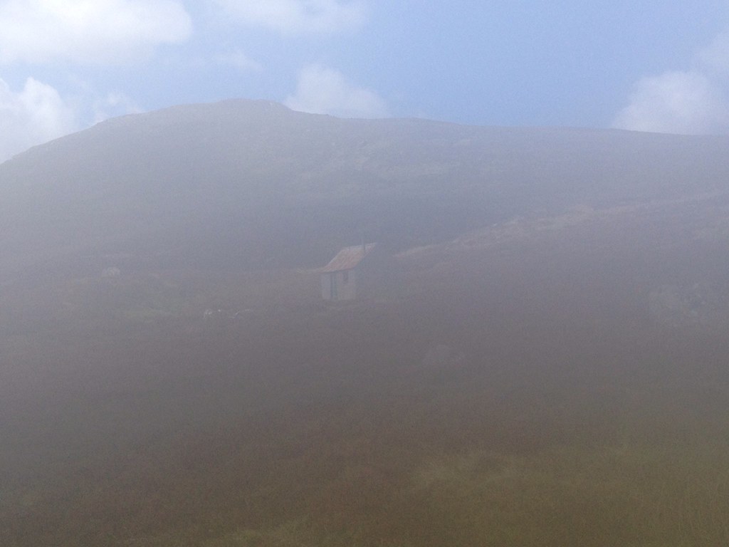
With my iPhone now claiming I was surrounded by an enveloping rainstorm, I had no option but to scurry up the steepest part of the hillside, and try to reach the summit of A'Chailleach for a psychological boost. A father and son from North-East England had been waiting outside the bothy: they probably thought I was mad when I stumbled past them, babbling incoherently about Apple in my drenched clothes. Still, the sun was shining. And that is a good thing.
 973101_10152929162105014_923047859_n
 by
Craiging619, on Flickr
Mercifully, my other camera on the front of the phone was still working, albeit at a much lower resolution than the back one. I would just have to bumble on for the next few hours with these inferior 1970s-esque photos, much like the court report on Chewin' The Fat when the job of Acting Sketch Taker was carried out by a Police Constable who did cartoon drawings of suspects shouting, "Mon then!"
 974946_10152929161615014_1980493577_n
 by
Craiging619, on Flickr
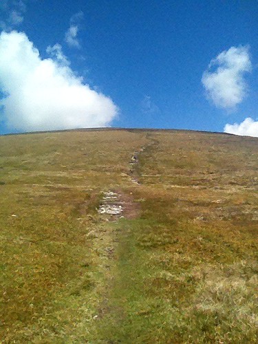
The OS Map suggests that the A'Chailleach path heads North-West up to the bealach before turning right for the summit, but from the valley I could see a clear path heading straight up the South face to the summit. Right enough, the faint path from the bothy led me across a gully to this more distinct path, making an easy decision even easier.
 973644_10152929160420014_108662947_n
 by
Craiging619, on Flickr
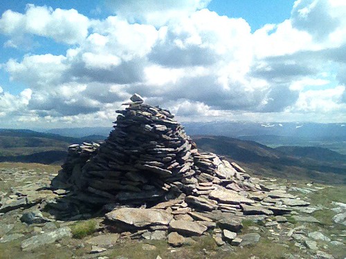
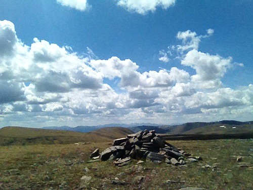
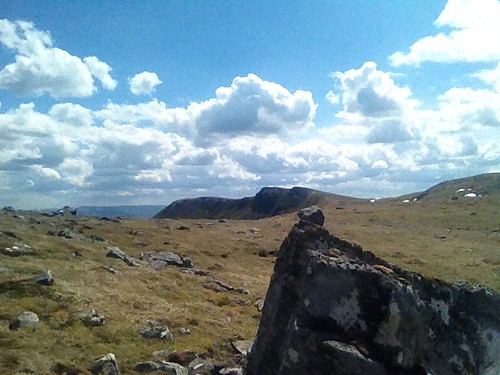
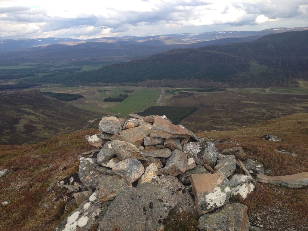
The path looked steep at first, but it posed few problems in the clear conditions, and before midday I was at the summit of A'Chailleach, remarking on the great weather with another group and admiring the giant lion-like cairn.
 975758_10152929159840014_577920626_n
 by
Craiging619, on Flickr
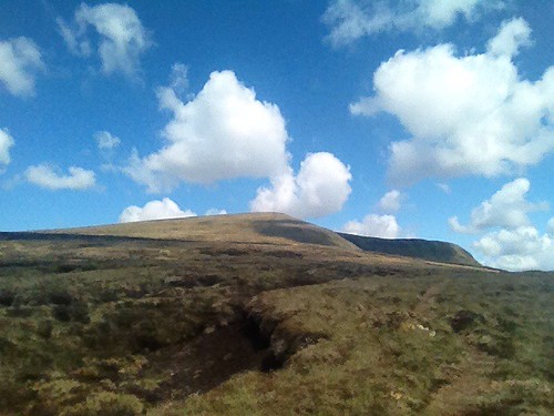
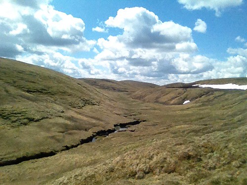
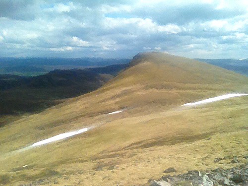
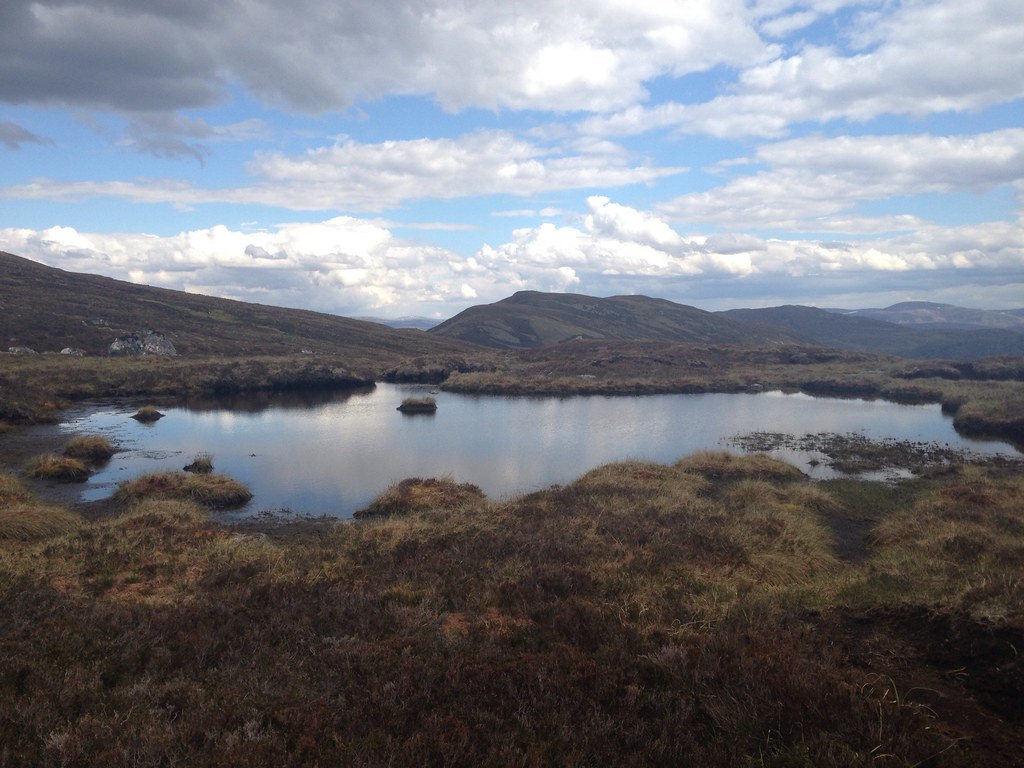
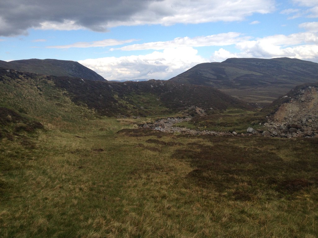
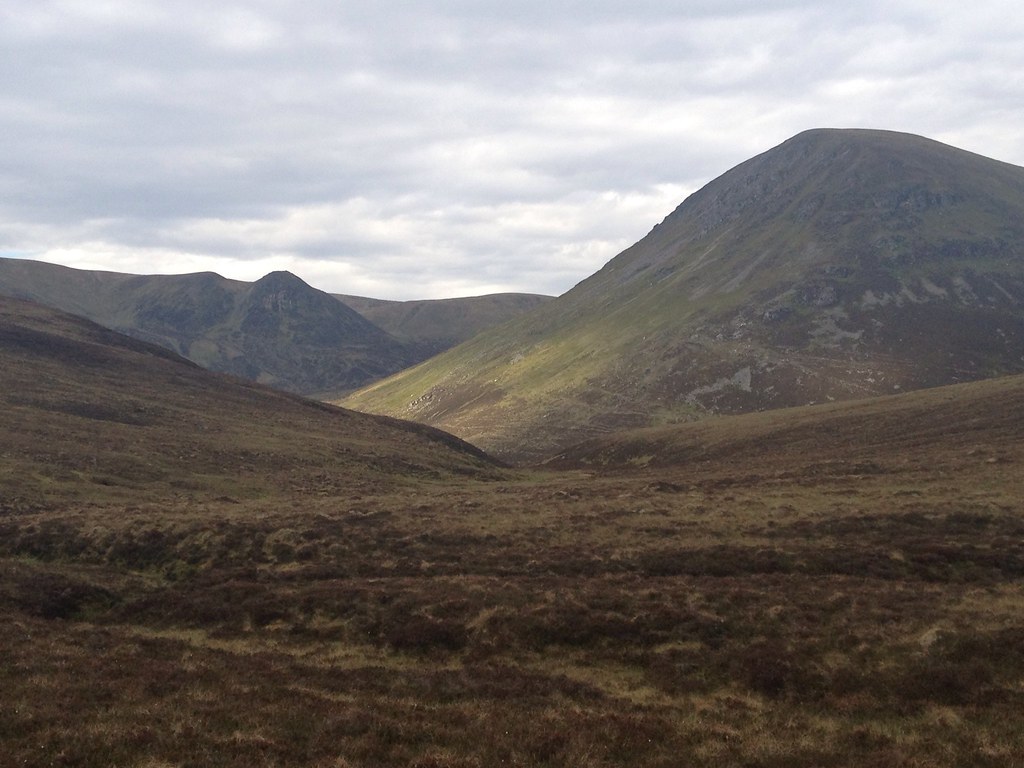
Across the valley to the North stood Carn Sgulain. Well, somewhere in this vision of high rolling moorland. I can hardly describe myself as a snob when it comes to Munro-bagging: A'Chailleach was only my dozenth. But I'm not quite sure if Sir Hugh was on the sauce the night he added Carn Sgulain to the list, or something stronger. Neither A'Chailleach nor Carn Sgulain are even Marilyns, falling well short of the 500ft drop to Carn Dearg to the West. But at least A'Chailleach has something of its own character, requiring a 5-mile-plus walk to reach the next highest Munro. And, well, it looks nicer. Carn Sgulain is barely a mile away, and only needs a 98m climb from the gully. But still, a win's a win, and I'd hate the SMC to take it away just because of snobbish attitudes towards what constitutes a 'good hill'. To my mind, any time I reach a summit and get a grand view, it's a good hill.
 975719_10152929158385014_1620551122_n
 by
Craiging619, on Flickr
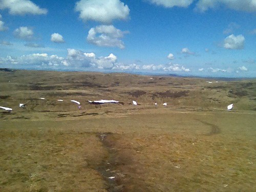
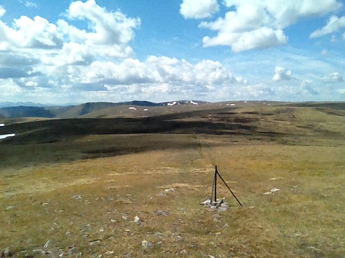
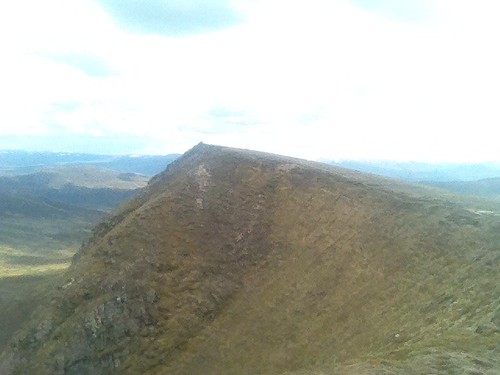
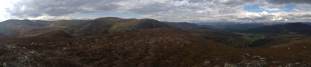
I found that the path seemed to disappear in the gully between the two hills, but in the clear weather wayfinding was simple enough, and I curved round the edge of the adjacent hill to emerge at a high bealach near the fenceposts. Carn Sgulain's dual summits were only five minutes away, and as I sat on the furthermost one having lunch, I debated with another couple of Englishmen which summit was higher. Their GPS was telling them the furthest one is higher, but my OS seemed to suggest it was the closer one. Either way, we saw a wild panorama of high plateaus and moorland to the North, sat atop one of the easiest Munros you're likely to find. The total time between the two summits must have been no more than 40 minutes.
 975404_10152929156910014_1490302011_n
 by
Craiging619, on Flickr
 962109_10152929156485014_1925837883_n
 by
Craiging619, on Flickr
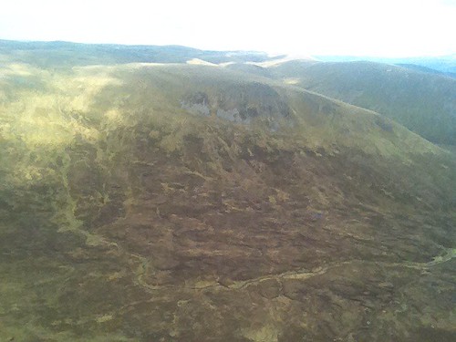
A'Chailleach from Carn Sgulain, with the Cairngorms behind.
 979683_10152929155940014_218173620_n
 by
Craiging619, on Flickr
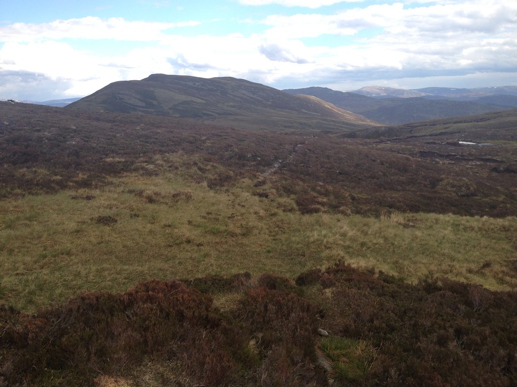
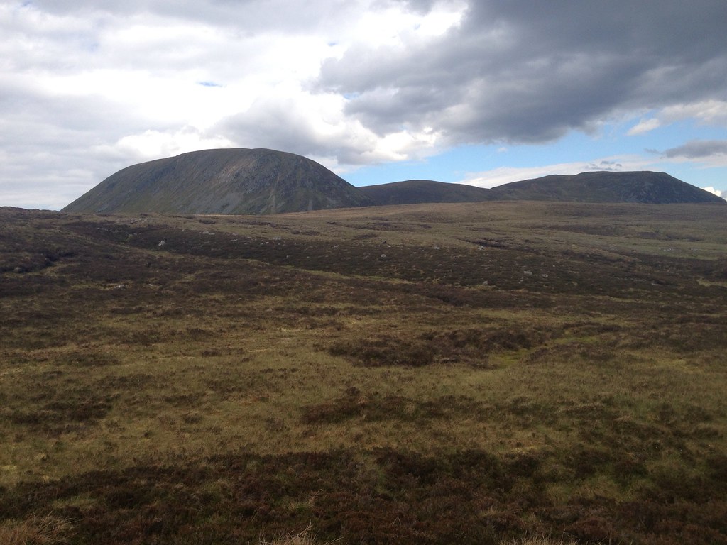
From here, the fenceposts led the way on a two-hour whistle-stop tour of the Monadliath. The week before I found that a similar line of fenceposts helped me to climb Ben Reoch (very useful for leaning on, I found), but on the flat Monadliath there is no such need for support. In both cases I was left bemused as to where and why the fence has disappeared. Upon leaving Carn Sgulain, my battered and bruised iPhone was already down to 32%, partly because of its tough morning and partly because its battery is utter rubbish. I had no alternative but to put it on flight mode, apologising to my Wife and parents and telling them I would text them from the top of Carn Dearg.
 973757_10152929155565014_644821369_n
 by
Craiging619, on Flickr
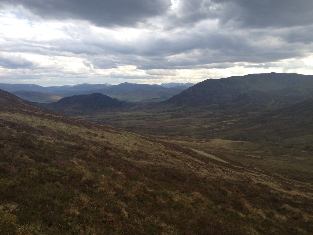
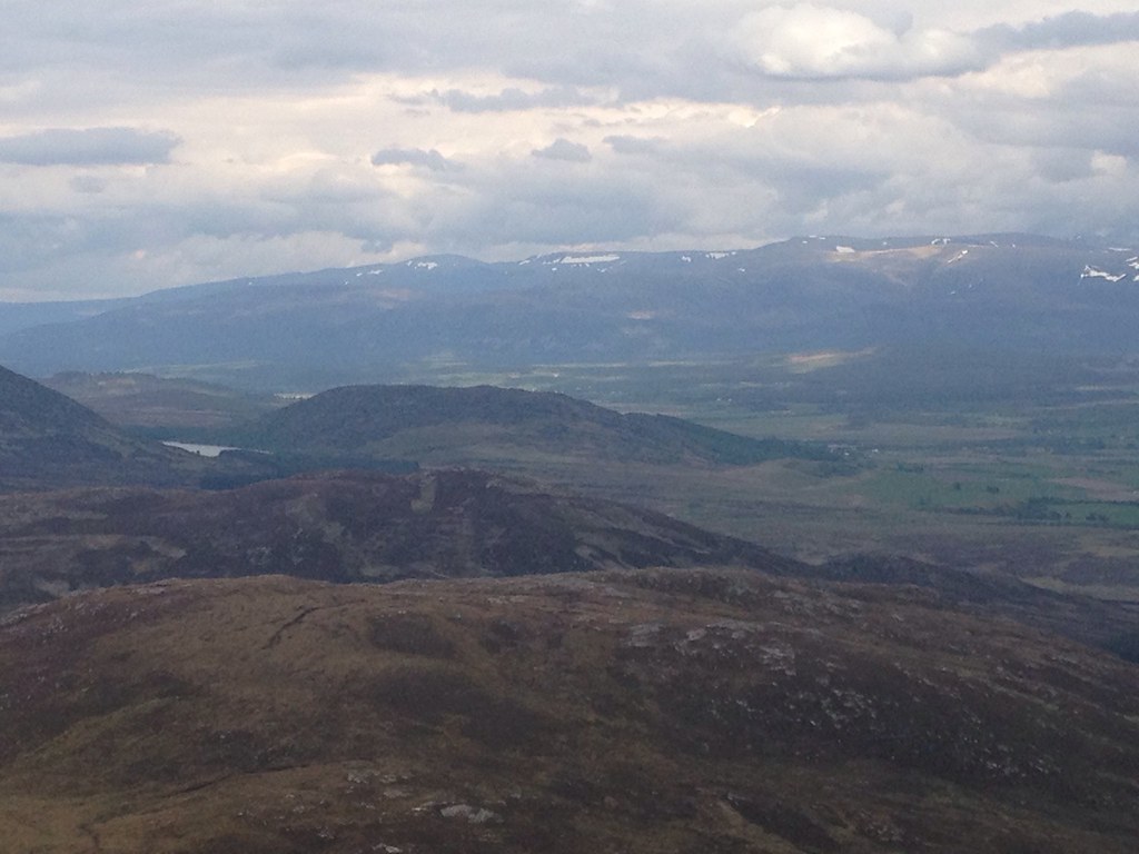
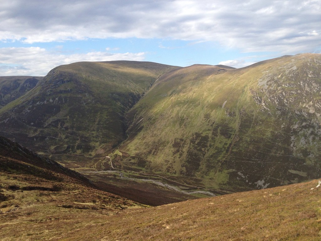
In the meantime, I had to crack on with the walk to Carn Dearg (the window between trains was just under 12 hours and I was hoping to get dinner in Newtonmore), but luckily the underfoot conditions were great for this section, save for a complete swamp at the only 850m mark on the plateau. A few people complain about this section because of the large distances involved, but I found it quite refreshing to make such quick progress at such high altitude, with views opening out West towards Ben Nevis, Scurr na Ciche and Mullardoch.
 975791_10152929154505014_1704480492_n
 by
Craiging619, on Flickr
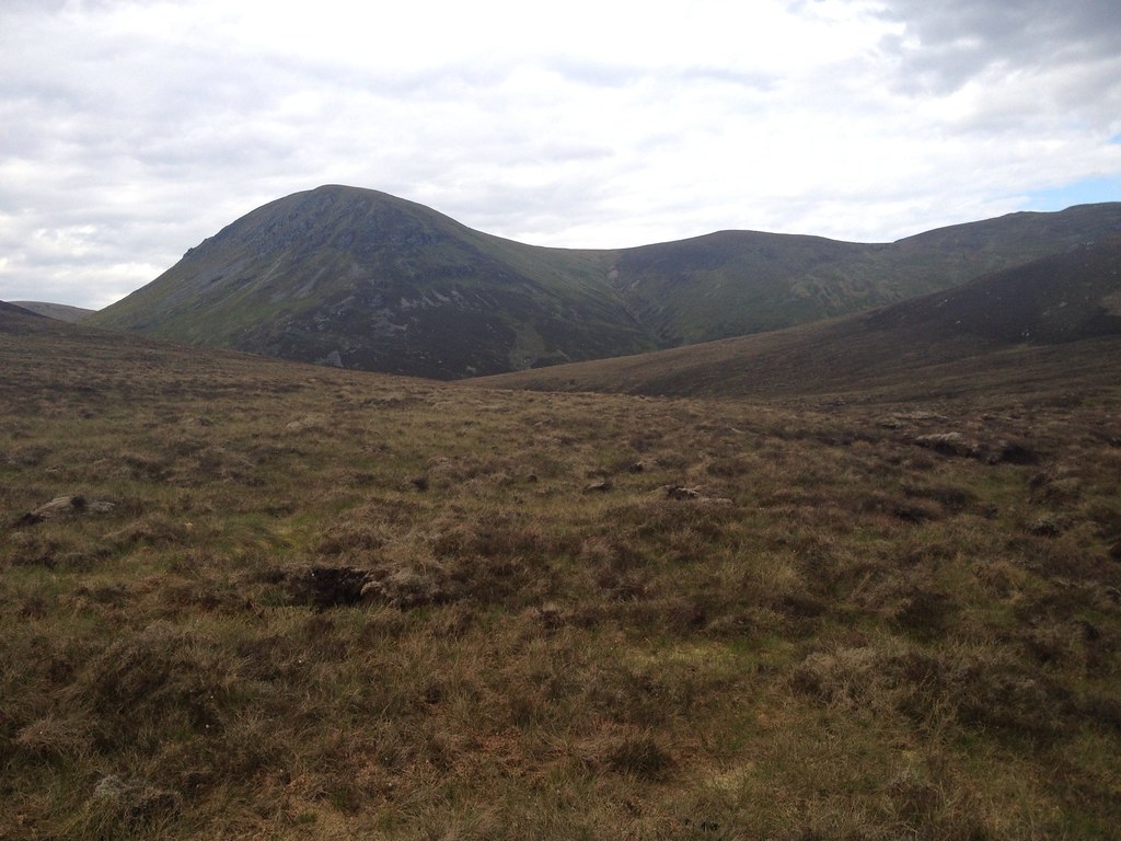
Eventually, at 3pm I reached the summit of Carn Ban, adjacent to the final Munro of Carn Dearg. I still felt good at this stage, although I shudder to think what form the Monadliath would take after (or during) heavy rainfall. I think I struck it rather lucky in that respect.
 975409_10152929153725014_527981565_n
 by
Craiging619, on Flickr
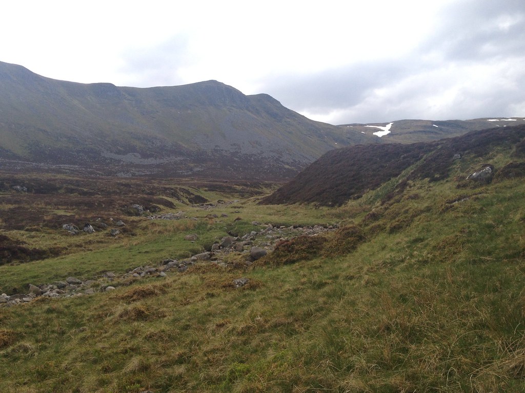
In the col between Carn Ban and Carn Dearg, I found a couple of gullies of snow, eventually having to cross the second one. That was not exactly enjoyable after my horrendous experience recently on The Brack, but at least it was over quickly, and I was heading up the final pull to the airy summit of Carn Dearg.
 974165_10152929153525014_1655695192_n
 by
Craiging619, on Flickr
 975338_10152929153380014_561414420_n
 by
Craiging619, on Flickr
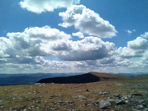
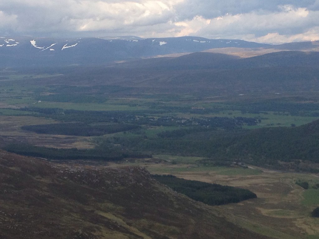
What a place. What a view. My phone was completely knackered by this point, but the view extended South towards Schiehallion, Ben Lawers and Stob Binnein/Ben More. The brilliant panorama website recommended by Sgurr
http://www.udeuschle.selfhost.pro/panoramas/makepanoramas_en.htm would later confirm that my last Munro, Beinn Chabhair, was even visible at the back of the Crianlarich bunch, while Ben Hope can apparently be seen to the North (I couldn't really see further than Ben Wyvis).
 979661_10152929152370014_2090774712_n
 by
Craiging619, on Flickr
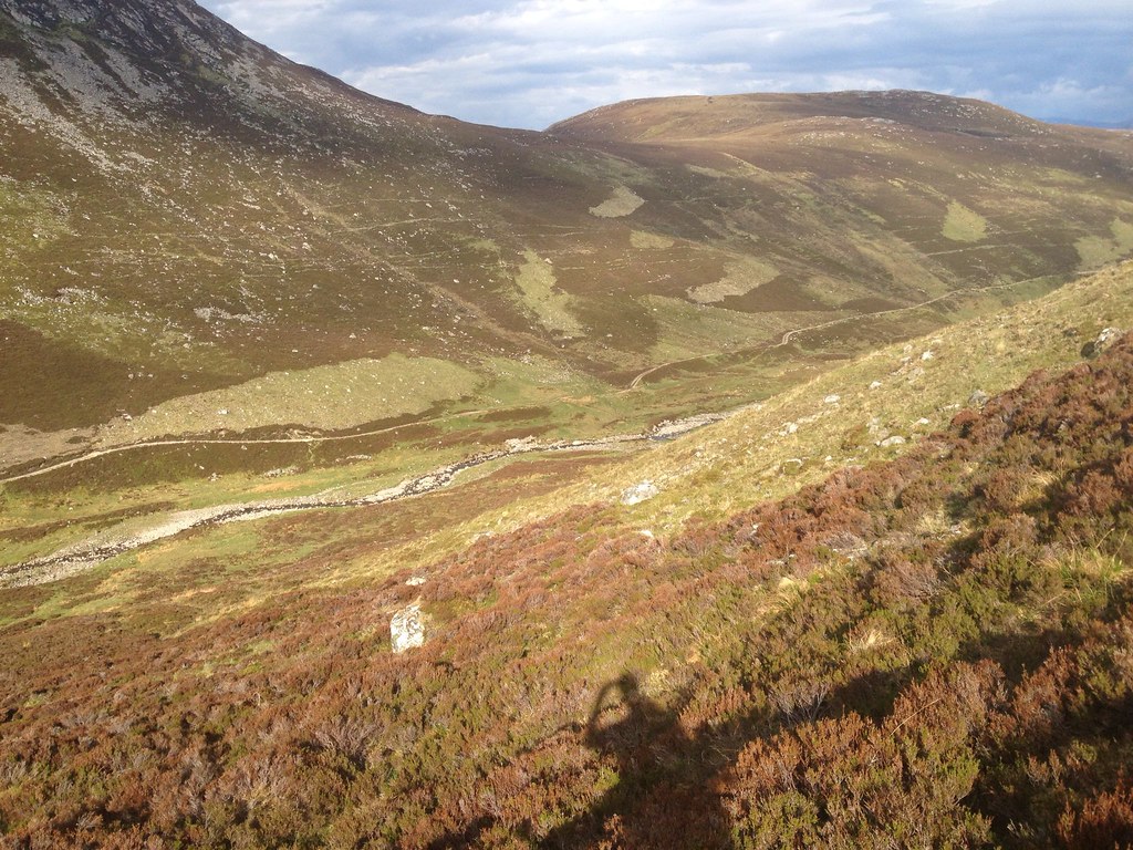
Time was still of the essence, so I retraced my steps to the col then headed East down the wide grassy slope to the glen. At this point, somewhat predictably, I began to hit the wall energy-wise. I always struggle with descents, especially those of the long epic pathless variety, so I had to make sure to allow enough time for this one. I turned right to begin a long trudge down what appeared to a slightly boggier valley. Maybe time to try the proper camera again, just for a laugh.
 1006462_10152929151240014_24927984_o
 by
Craiging619, on Flickr
WOAH! The iPhone had somehow performed a Herculean recovery on top of Carn Dearg, shaking off the steamed-up look with immediate effect. The battery was still inching towards 0%, so I attempted to keep the pace up as I careered around the valley in search of a path towards Creag Liath.
 1004271_10152929149255014_1341739299_o
 by
Craiging619, on Flickr
Eventually I found a thin path or two, but they petered out quite quickly. By descending to the riverbank, I picked up a path which eventually developed into a clearer track heading towards the bealach with Creag Liath.
 997787_10152924647935014_1295065917_o
 by
Craiging619, on Flickr
 986999_10152924647550014_49515663_o
 by
Craiging619, on Flickr
 997842_10152924647165014_1339245101_o
 by
Craiging619, on Flickr
Sadly it didn't stay this clear for too long, and I lost sight of it cutting across undergrowth towards Creag Liath, startling a few Ptarmigans (who in turn startled me by flying away at the rate of knots). In fairness, I was the one disturbing them.
 992117_10152924646830014_1627048175_o
 by
Craiging619, on Flickr
 992092_10152924645835014_1105548678_o
 by
Craiging619, on Flickr
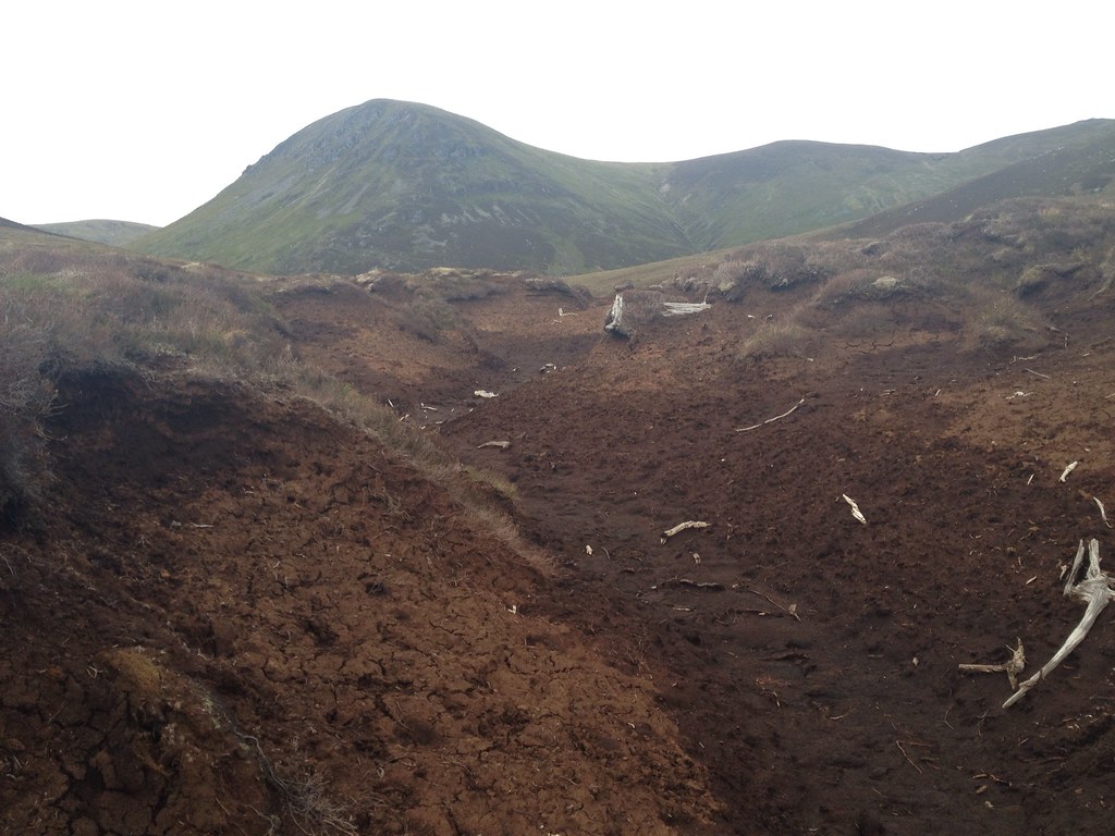
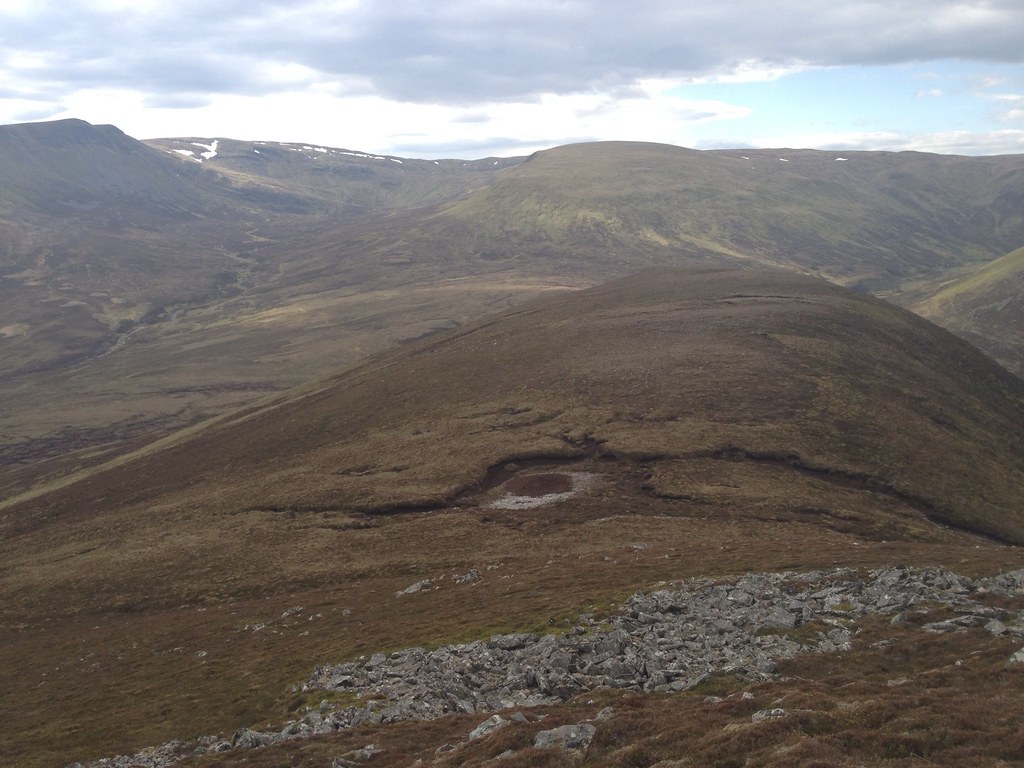
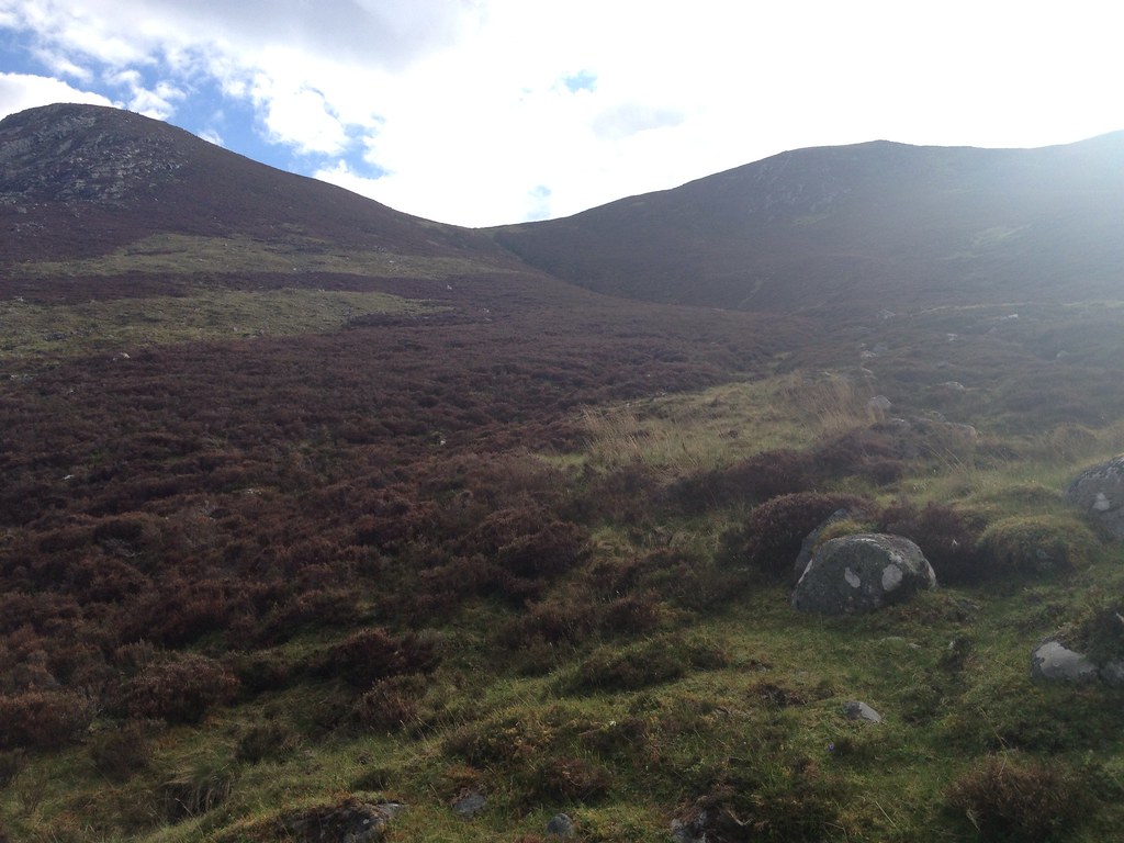
I crossed the deep peat bogs at the bealach, again wondering what on earth this area would be like on a wet day. The views were excellent across the glen towards Creag na h-Iolaire.
 990834_10152924644760014_1253856048_o
 by
Craiging619, on Flickr
 1004229_10152924644465014_586524730_o
 by
Craiging619, on Flickr
Eventually at 5pm, I reached an old fenceline and crossed a path signifying the start of the final climb up to Creag Liath. The going was rather steep here, not helped by the miles clocked up earlier, but I found a couple of horizontal paths traversing the side of the hill to the South, eventually taking one and edging up the West side towards the col at 680m.
 997906_10152924644155014_146525364_o
 by
Craiging619, on Flickr
 997823_10152924643830014_704630565_o
 by
Craiging619, on Flickr
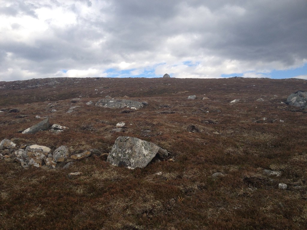
I felt like the col would never be reached, and it was some relief when I found myself on the final pull up towards the summit at 743m. A large stone lay on the brow of the hill. Was this another false summit tempting me upwards?
 997823_10152924642920014_1393026604_o
 by
Craiging619, on Flickr
It was, but thankfully the real summit was only a minute behind it. It was a remarkable feeling to reach this peak. I've never climbed four new mountains in a day before, or walked for 20 miles, and while the pain was starting to show it was still a euphoric feeling to reach the last summit with spectacular views down into Badenoch and Strathspey.
 990950_10152924641905014_305173951_o
 by
Craiging619, on Flickr
 1004277_10152924640225014_951592349_o
 by
Craiging619, on Flickr
 1004233_10152924639370014_1405143970_o
 by
Craiging619, on Flickr
 990726_10152924639000014_2092701708_o
 by
Craiging619, on Flickr
 983396_10152924638330014_1635386437_n
 by
Craiging619, on Flickr
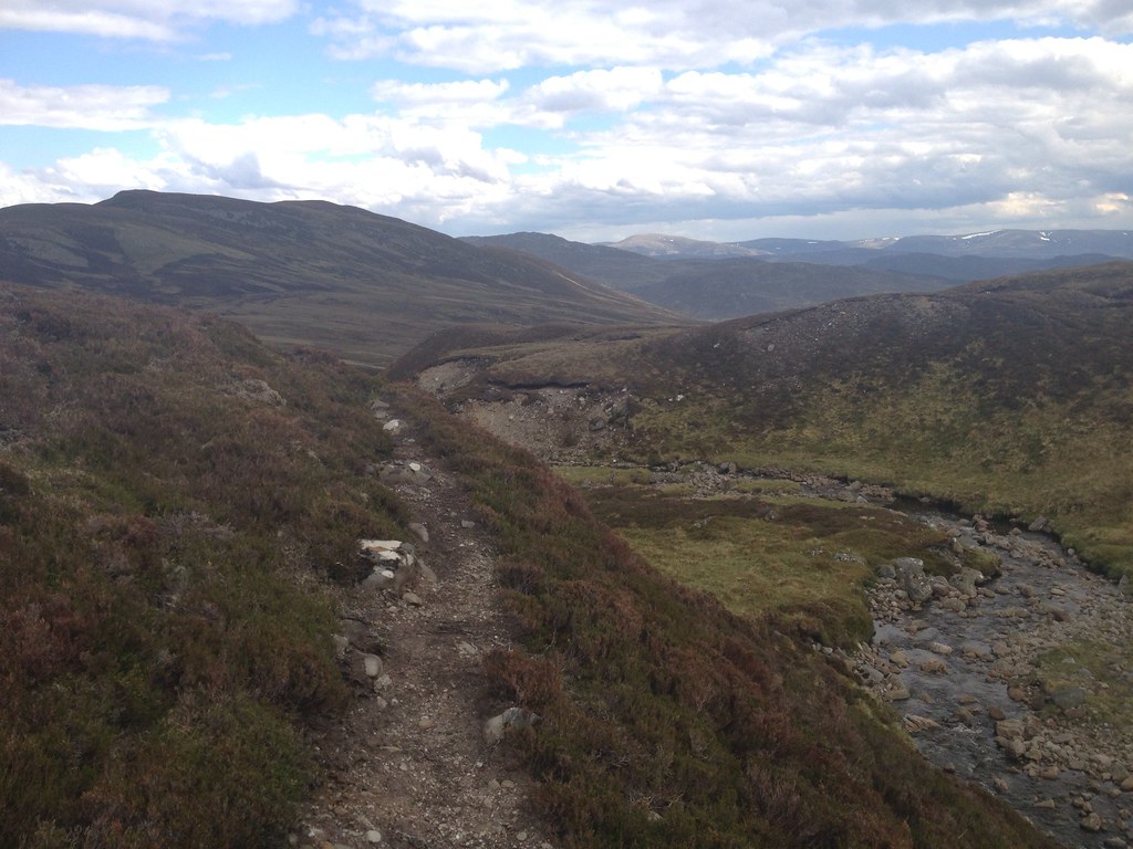
Eventually the time came to descend to the Allt Fionndrigh, following Rockhopper and Johnny Corbett's route to the bitter end. It was, as they warned, a very steep descent from the mini-col on Creag Liath, but only 250m down to the river. The sun came out once again, covering the valley in a bright glow.
 991238_10152924638250014_2105756147_o
 by
Craiging619, on Flickr
 992119_10152924634845014_822623268_o
 by
Craiging619, on Flickr
 997924_10152924634250014_1955866485_o
 by
Craiging619, on Flickr
Aye, just a bit steep.
At 6:20pm I came to the river. Oh great, just what I need, another fording. The promise of another good track and the walk back to Newtonmore lay on the other side, so I paid attention, made sure not to stand on any wet rocks and hopped over in a few seconds.
 997795_10152924633170014_2097456639_o
 by
Craiging619, on Flickr
Phew! Homeward bound at last!
 997830_10152924632510014_458417709_o
 by
Craiging619, on Flickr
 991882_10152924632145014_1080613740_o
 by
Craiging619, on Flickr
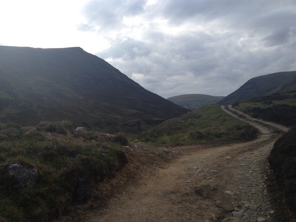
Down at Glenbanchor and Glenballoch Farm, I found an old township, now deserted. It was quite a sad sight to an entire glen now devoid of people when it used to house a decent-sized community. It was like stepping back in time, and was made all the more surreal by the knowledge that Newtonmore and the A9 were barely three miles away round the corner.
 997712_10152924631650014_179868936_o
 by
Craiging619, on Flickr
 991915_10152924631230014_1029120837_o
 by
Craiging619, on Flickr
The car park. I've still got two miles to go though!
 986849_10152924630660014_856742601_o
 by
Craiging619, on Flickr
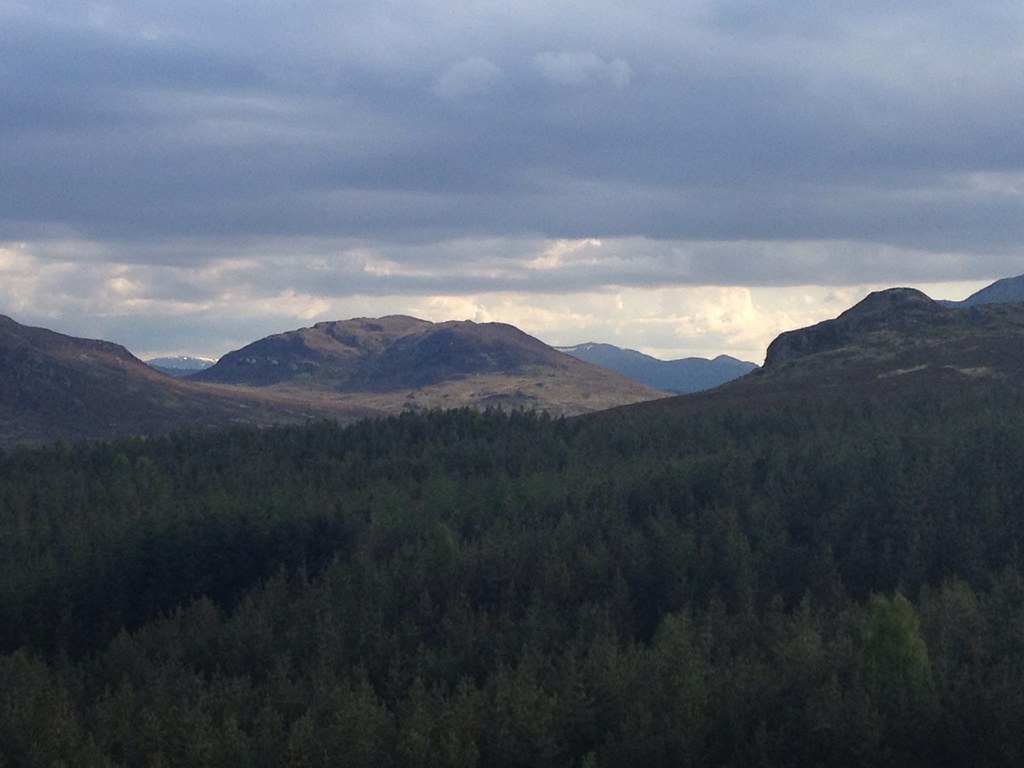
My phone finally packed in taking this photo of the view down Glen Banchor. I had received assurances from an old friend who grew up nearby that the Glen Hotel in Newtonmore would offer a warm welcome and, true enough, I arrived there at 8pm to be shown to a table in the restaurant near the bar, given the greatest ever ice-cold Coke/Pepsi/whatever it was (tied for 1st place with my post-Cobbler drink in Arrochar) and allowed to charge my phone by the barman. The food took half an hour to come, but when it did it was just the ticket, and allowed me to leave at 9pm in just enough time for the train at 9:22.
 997730_10152924630340014_1195951284_o
 by
Craiging619, on Flickr
I was joined in the restaurant by the father and son from A'Chailleach. They had settled for the two Munros that day, turning back at Carn Sgulain. I said I would probably regret going all the way round the next day. Which I sure did.
 997900_10152924629815014_1992038684_o
 by
Craiging619, on Flickr
 990844_10152924629170014_1840757948_o
 by
Craiging619, on Flickr
In the end I arrived back home at midnight, staggering through George Square in the style of most of the other inmates at that time. I was originally supposed to climb another hill on the Sunday with friends (potentially Beinn an Lochain
) until I received a text at Sunday lunchtime to say my friend's car had broken down. Never before have I been left so relieved by such bad news. My Wife and parents were mortified at the thought of me going straight back onto the hills the day after falling into a river on a 20-mile climb of three Munros. And reading it back, that was a rather silly idea after all.
 997783_10152924628650014_557945977_o
 by
Craiging619, on Flickr
I often have one song in my head all through a hillwalk that ends up pushing me on through the day, and on this day it just happened to be Swedish House Mafia's 'Don't You Worry Child (Heaven's Got A Plan For You)'. As I lay on the bed on Sunday, I felt they were quite appropriate lyrics. I had pushed myself close to the limit the day before, and had nothing left in the tank. There's no telling what could have happened to me on a mountain like Beinn an Lochain. If there is someone upstairs, perhaps the cancellation of my planned hillwalk was his way of saying, "Right son, dont push your luck."

