free to be able to rate and comment on reports (as well as access 1:25000 mapping).
Just three weeks after my 5 day trip to the sisters and brothers of Kintail (see TR here:
http://www.walkhighlands.co.uk/Forum/viewtopic.php?f=9&t=32002) I had another opportunity for a walk in the british hills. A business trip to Coventry provided the opportunity to arrive a day earlier and visit the Lakes. What I did underestimate was the amount of driving that was involved in getting to and back from the Lakes. After a long drive from London Luton through the Peak District and Manchester (visiting the place where I used to live a couple of years ago) I arrived in Keswick at 9pm. I went for a nice walk around the town and went to bed without visiting a local pub as I planned to start early the next morning.
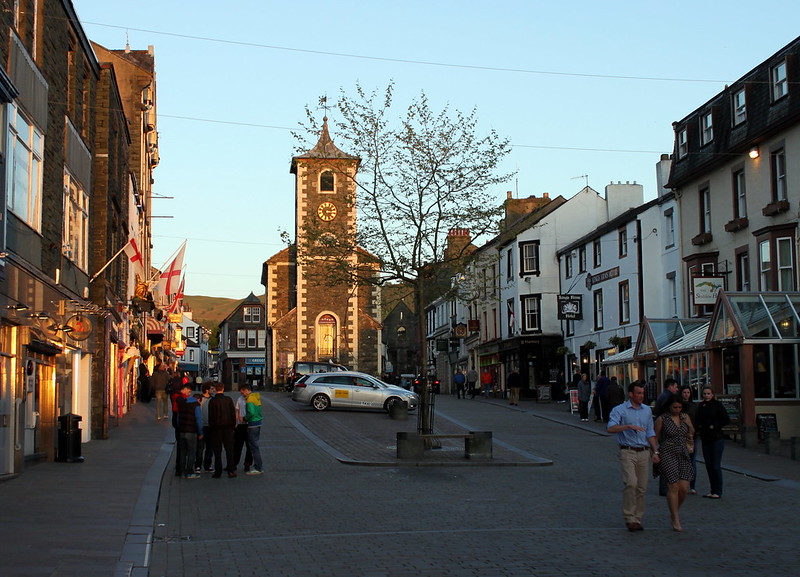 Evening in Keswick
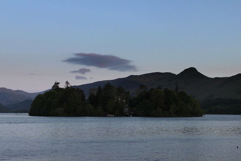 Derwent Water
Here is the route:
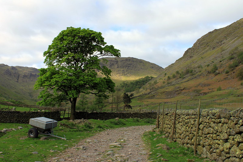 Seathwaite farm - the start of the walk
After a peaceful night I arrived in Seathwaite at around 7.20am and started straight away. By that time there was hardly any car parked along the road. Everything was quiet, even some sheep were still asleep on the meadow near the farm. The weather forecast was looking good. No rain, slightly overcast.I walked along the valley leading up to Stockley Bridge where I realised that I had forgotten to take my walking poles out of the car’s boot (along with my patella bandage and some tissues). In the end I did not turn back because I was on a tight schedule.
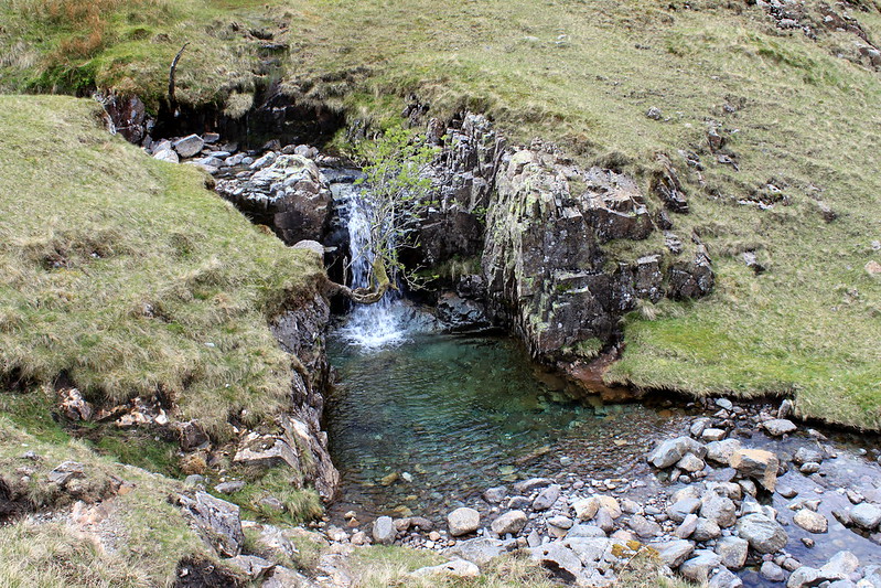
 Taylorforce Gill
The route I intended to take was leading up to Styhead Tarn, along the corridor route to the Mickledore, up Lords Rake and Scafell, then on to Scafell Pike and via Great End and Esk Hause back to Seathwaite. To make things a bit more thrilling I had to be at the Manchester airport by 6.30pm to pick up a colleague.
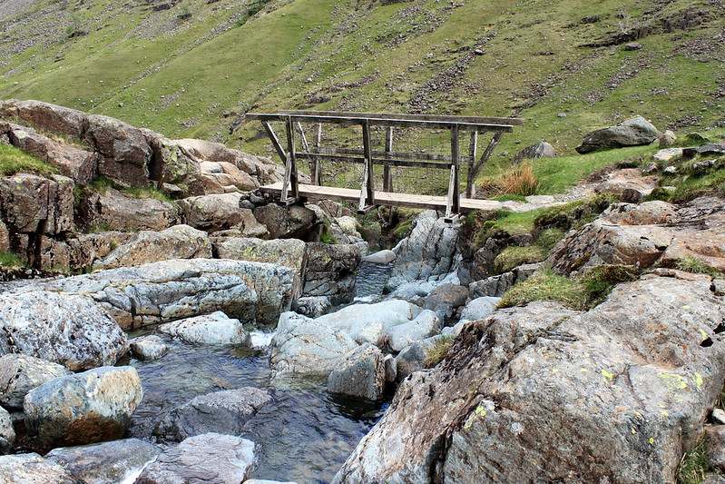
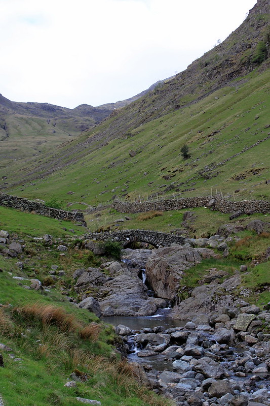 Stockley Brdige and the clear blue Grains Gill
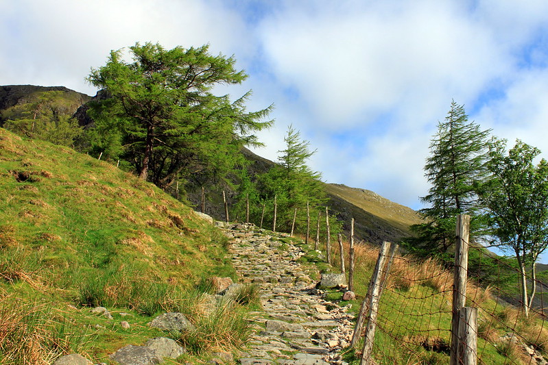 The path leading up to Styhead tarn
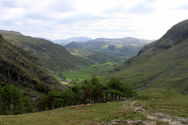 a nice view back to Borrowdale
The route up to Styhead tarn was very scenic especially the views back towards Borrowdale. The huge cairns along the path I found a bit odd and wasn’t sure what their purpose would be as smaller ones would have served the purpose of route finding as well. I had the path almost completely to myself although once I reached the corridor route I saw a school class coming down from Lingmell.
 Styhead Gill below the tarn
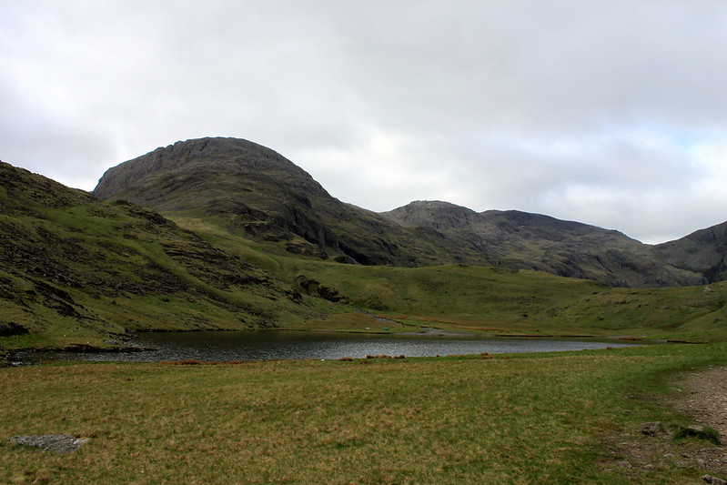 Styhead Tarn
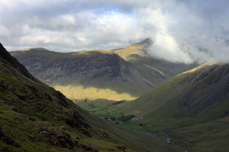 The sun said Hello!
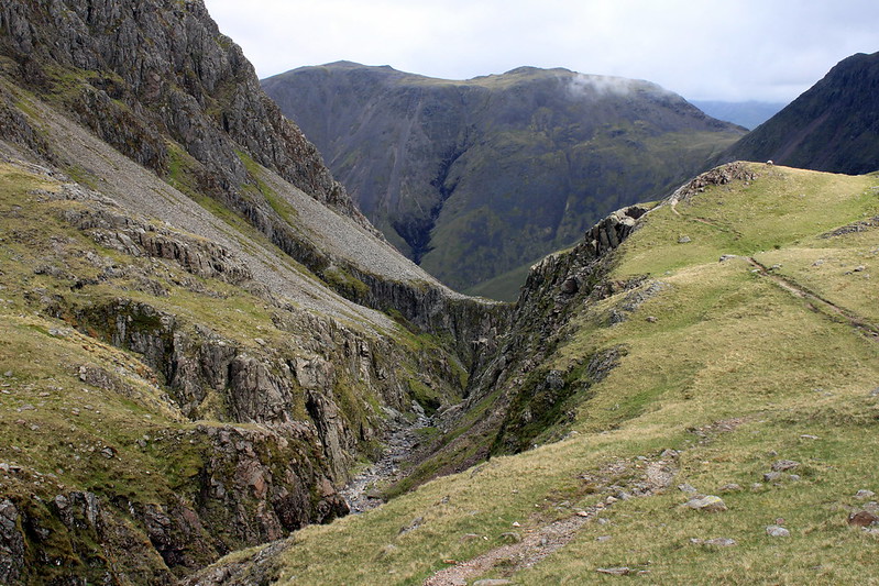 The cracks of Doom?
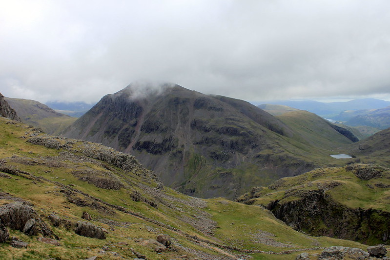 A glimpse back along the corridor route to Styhead tarn
I decided against walking up to the top of Lingmell mainly because I had no idea how much time this would take and whether the delay caused would be too great to make it back to the car in time. Walking was easy and the path very well defined (no comparison to some very faint paths in the Scottish Highlands). This changed once I crossed the path (or rather "Autobahn") leading up from Wasdale to Scafell Pike. According to my GPS the corridor route continued westwards (a green line on the OS25 maps, maybe not a path?) but I wasn't able to find the path and so I descended below Pikes crag where I found a small path leading south to the scree slope below Mickledore.
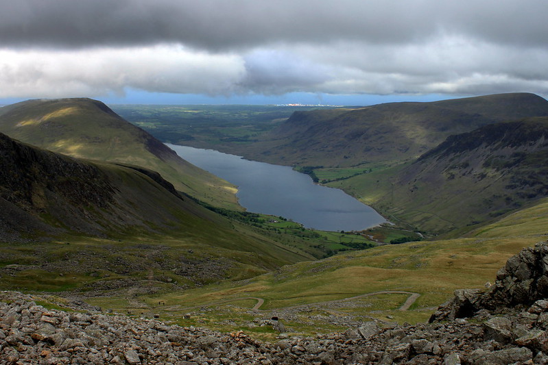 Wast Water as seen from the Corridor Route
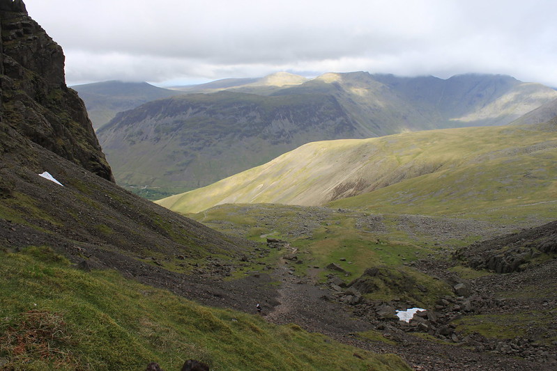 Path from Wasdale Head to Mickledore
I was also wondering where the Lords Rake would be until I saw it. My first impression was that its relatively short but very steep with a snow field in the middle and I had my doubts whether I could scramble up. But then as I approached the Rake two chaps with their dogs (dressed in fell runner outfit) flew past me and scrambled up the rake and the snow field in no time. By doing so they caused some rocks to roll down the rake and so I had to wait before they reached the top and were out of sight.
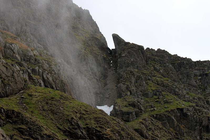 The Lords Rake, an impressive sight
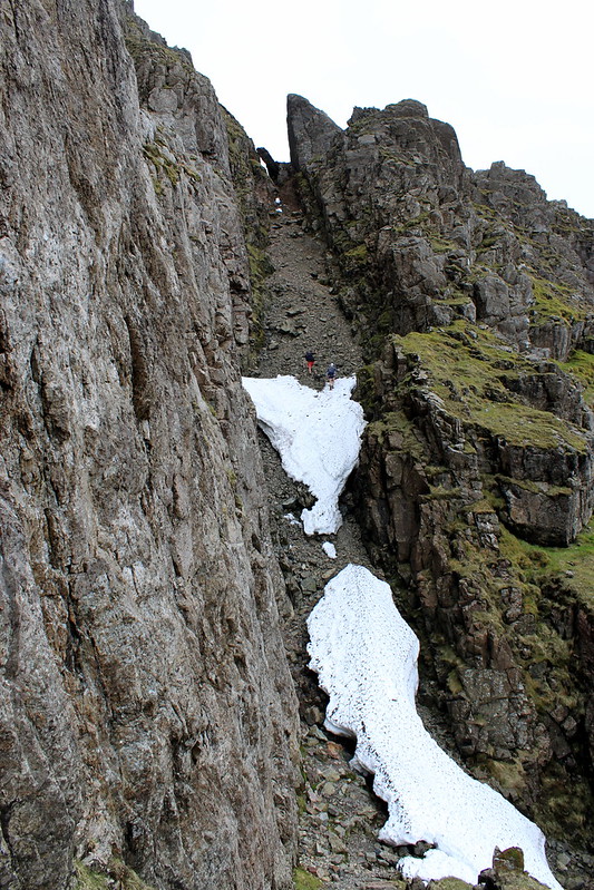 Can you see the two fell runners scrambling up the rake?
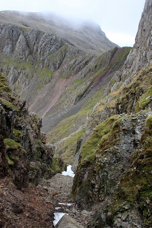 A glimpse back down the rake
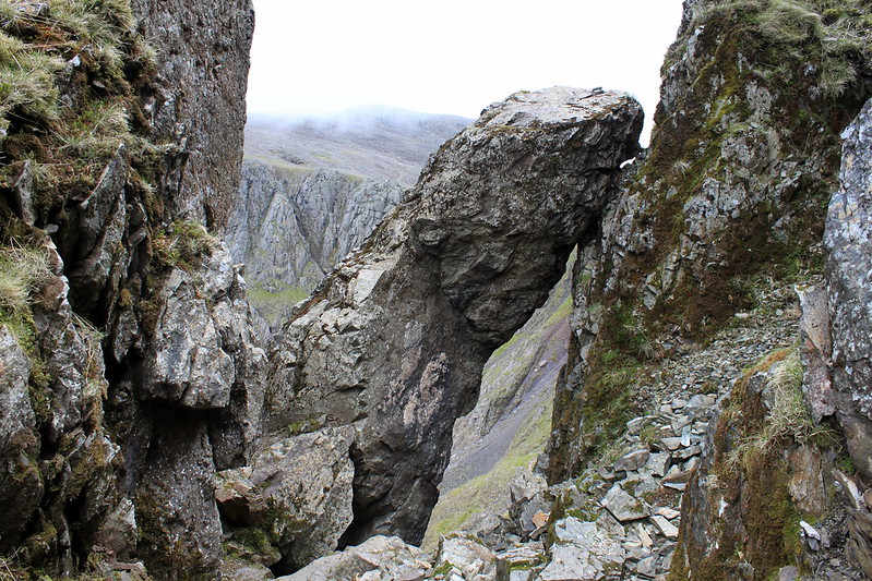 Big rock looming over the rake
The scramble itself was not as difficult as thought but still difficult enough. The snow was quite hard and easy to walk but the loose rock was no fun and although not dangerous it was hard work to scramble up. Fortunately there was no one following my steps so there was no danger of hitting someone. Finally I had reached the top and enjoyed the view down the rake before I continued up to the top of Scafell. Sadly the top was shrouded in the mist and so I did not pause and continued down the northeastern slope to Foxes tarn.
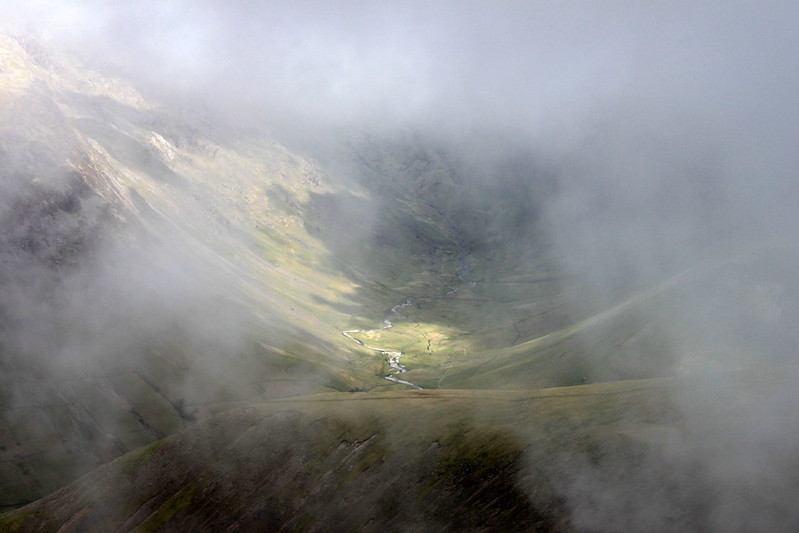 A hole in the mist
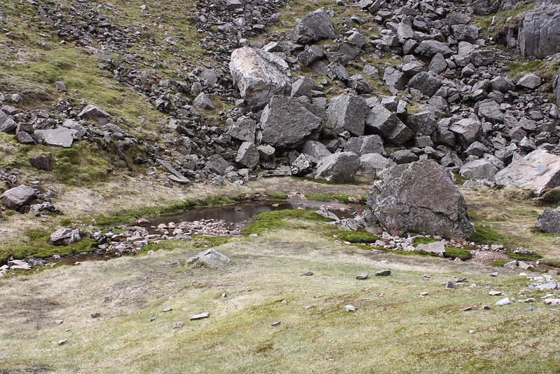 A rather unimpressive Foxes tarn, or rather Foxes puddle?
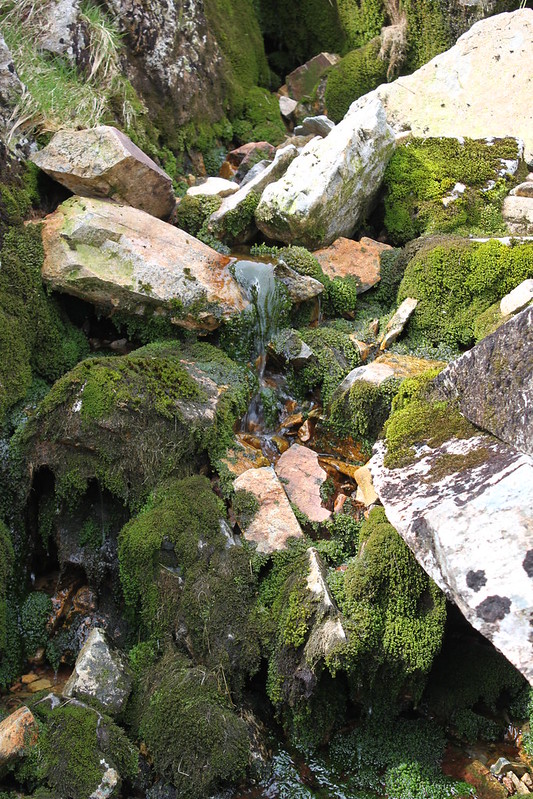 a little beck coming from Foxes tarn
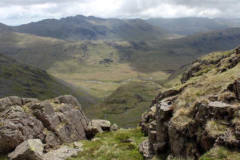 view from Foxes tarn to Scafell Pike
By then the weather improved and even the sun came out (for the first time that day) and I was happy with my progress. This changed when I realised how much height I had lost (ca. 300m ) once I reached the little valley that comes up from River Esk to Mickledore. The ascend to Scafell Pike itself was rather straightforward and quickly done but I was taken aback by the amount of walkers going up and down. So far I had hardly seen anyone and now there were people everywhere: an old couple taking it slow, a father with his young daughter and her teddy bear, a group of blokes with neon coloured shirts.
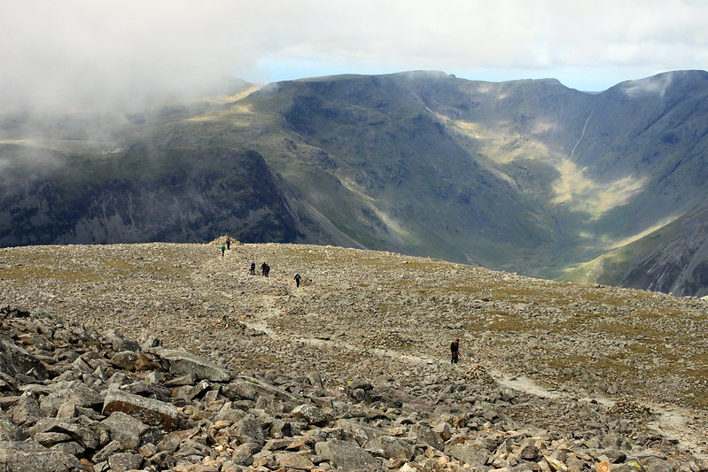 The "Autobahn" leading to the top of Scafell Pike
At the top I had my sandwiches and some Dr Pepper but there was no view and so I left for Broad Crag and Ill Crag. The path was easy to walk and I was more than happy when I had left the crowd on Scafell pike behind. This was such a contrast to the Highland where you hardly see a soul a day. Such a crowd of people somehow doesn’t really fit into this wonderful area but then this was Englands highest mountain. So I guess its fairly normal to have a crowd up there.
 Styhead Tarn from high above
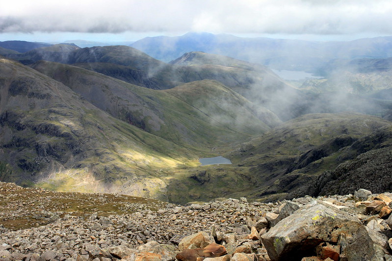
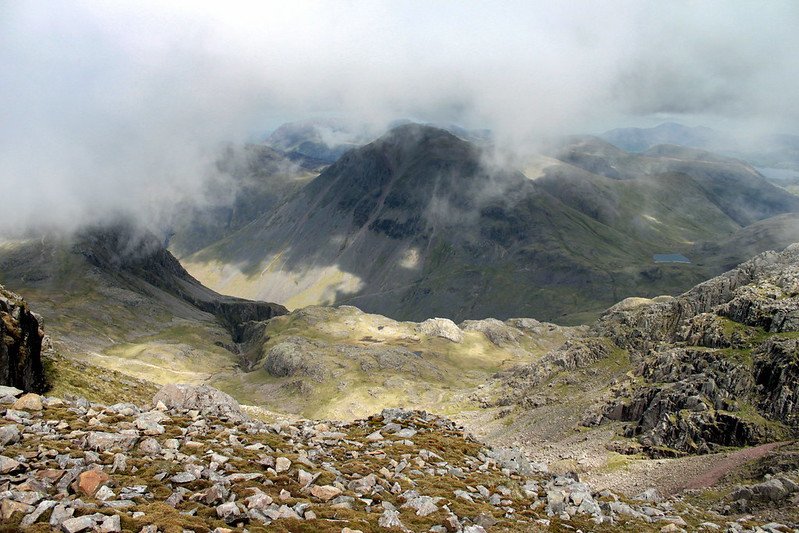 from Scafell Pike to Great Gable
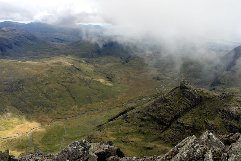 Eskdale from Ill Crag
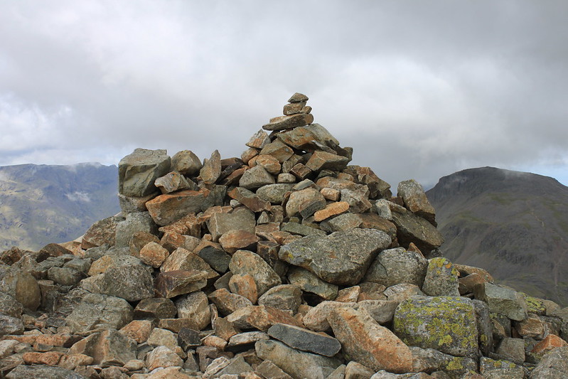 Cairn on Great End
 Borrowdale and Derwent Water from Great End
When I finally reached the last top of this walk, Great End that is, I felt a bit exhausted because by then I was more than 5 hrs on my way. On Great End I sat down for a while and enjoyed the views of the surrounding fells and Sprinkling tarn, especially the fly-over of a SAR Sea King helicopter that flew past and disappeared behind Broad Crag. I was wondering whether this was an actual “call-out” or just an exercise.
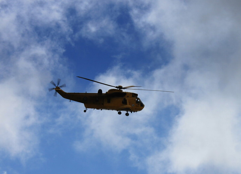 SAR Sea King flying over
After leaving Great End I felt relieved and sad at the same moment. I was relieved and happy that I had managed the walk in a reasonable time with enough time for travelling back to Manchester but I was also sad because I knew this was the last top of british hills for this year.
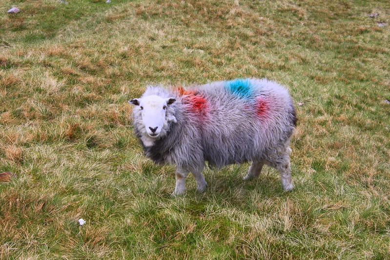 Wow, they have very posh sheep up here
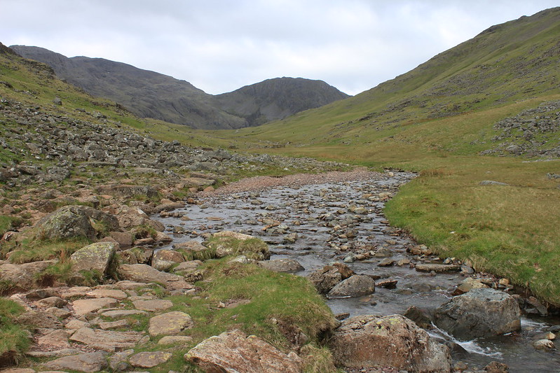
The descent to Esk Hause was quickly done and from there I headed west towards Sprinkling tarn and then down the lovely vale of Ruddy Gill. I initially thought the final leg of the walk back to the car would take no longer than 30 minutes but it turned out I needed much longer. There is a lovely spot next to the little beck where the path crosses it and thats where I had another few minutes of rest before I walked back to Seathwaite and the car. And thus a long and fantastic walk ended.
[iRuddy Gill[/i]
 What a scenic place!
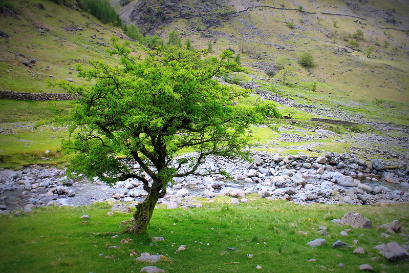 near Seathwaite farm
 Taylorgill Force
 the black sheep in the family
I still had some 3 hours left until I had to be in Manchester and so I drove up to the Honister slate mine, took a few pictures there and then drove back to Keswick and the M6. Around Lancaster there was an accident involving a caravan which caused long delays (ca. 50min) and in the end I arrived 10 minutes late in Manchester.
