free to be able to rate and comment on reports (as well as access 1:25000 mapping).
On my own this weekend as Allison's Kintail acquired injuries have not yet resolved to a walking standard, I had a bit of choice as to what to tackle. Didn't want a long drive and have been aware of a red splodge in the general larea of Glen Etive in a largely blue field. I'd originally thought of doing these hills as one long traverse with an overnight high camp, but we'd never quite got round to that. I did not fancy lugging a full camping pack around all day in this heat, so decided to split the hills into two days - the 5 round Starav on Saturday from Coileteir and Ghabhar on Sunday from Victoria Bridge.
Up early on Saturday morning and driving down Glen Etive about 6.15 - amazed to see every layby and most of the passing places crammed full of cars and mushrooming up everywhere beside the road were tents, tents, tents! Now these were not the spartan little homes of the walker or climber but the gigantic multi-chambered, mutli-coloured nylon palaces of - well - ordinary families

Out in the great outdoors
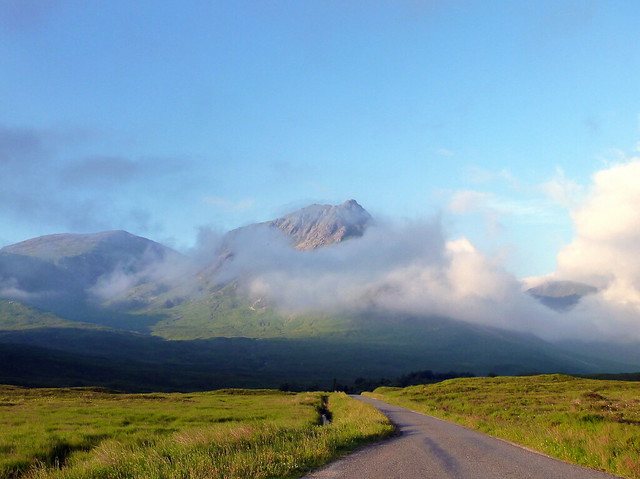
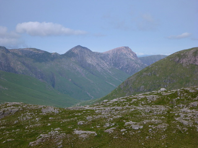
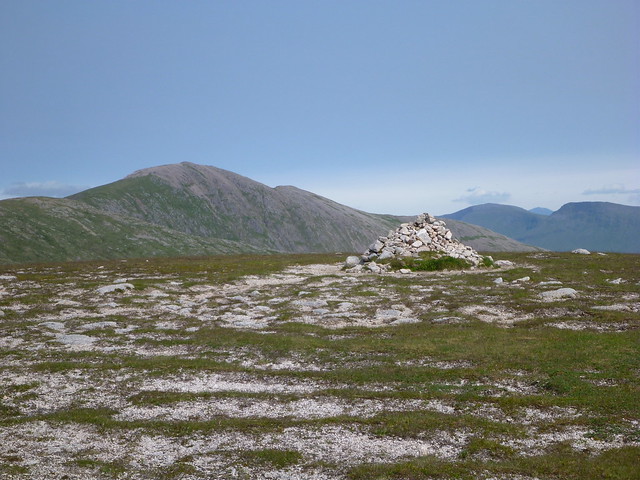
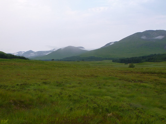
Fortunately the lower half of the glen was not overwhelmed by these temporary dwellings and I got to the parking spot for Starav finding only one other car already there. The morning looked promising although I could see that cloud high up on the hills might be a problem as far as views were concerned.
 P1030107
 by
23weasels, on Flickr
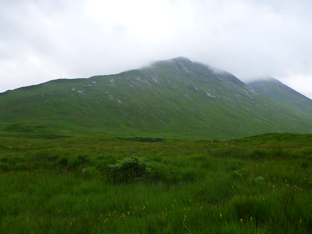
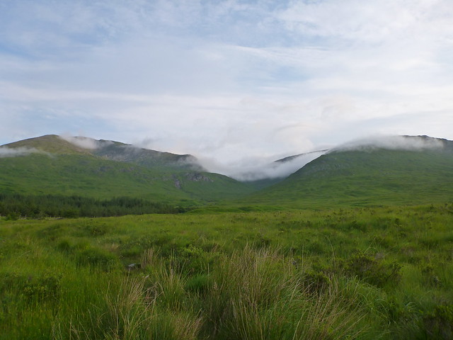
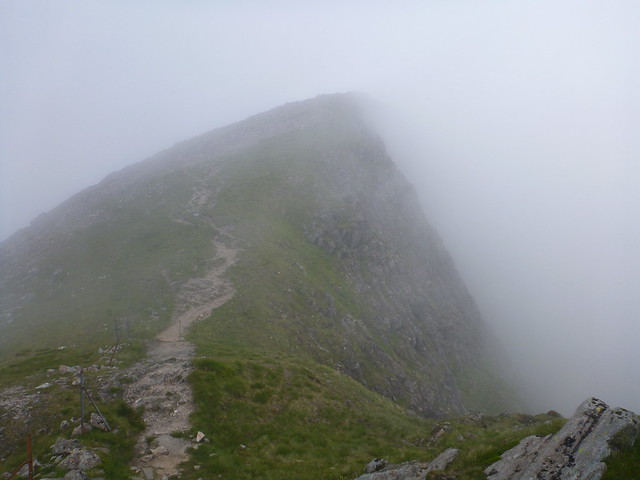
Midges were doing their thing while I got my boots on, but after I started walking they were left behind. A pleasant stroll along the riverside then turning up to the left heading up the shoulder of Starav quite steeply and into the mist.
 P1030109
 by
23weasels, on Flickr
 P1030110
 by
23weasels, on Flickr
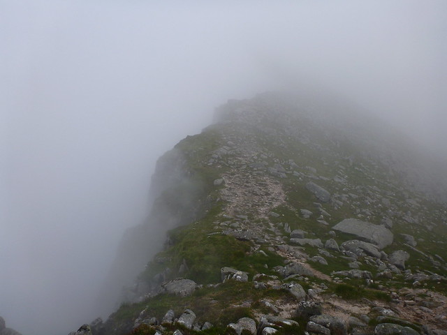
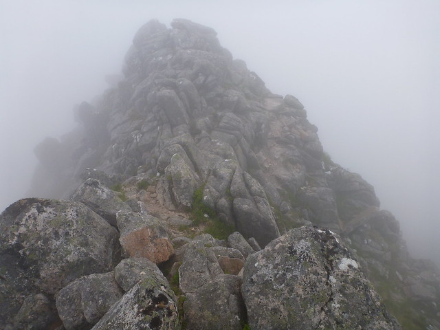
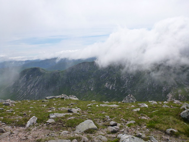
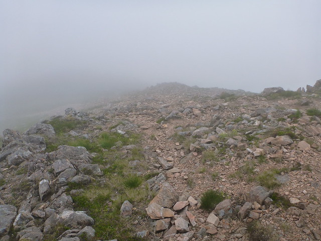
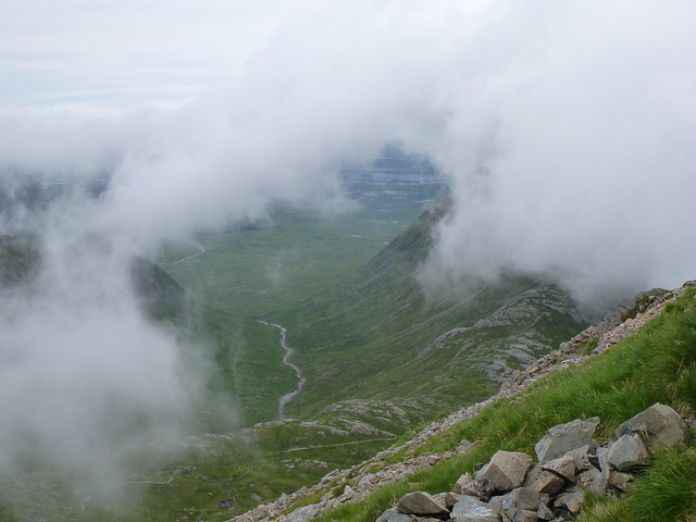
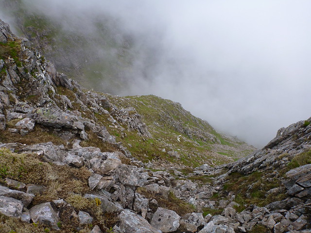
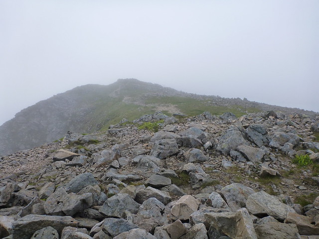
Nearing the top of Starav I could sense rather than see that the path was going over an increasingly narrow surface, looking down to my left were some spooky clefts disappearing into the clag.
 P1030112
 by
23weasels, on Flickr
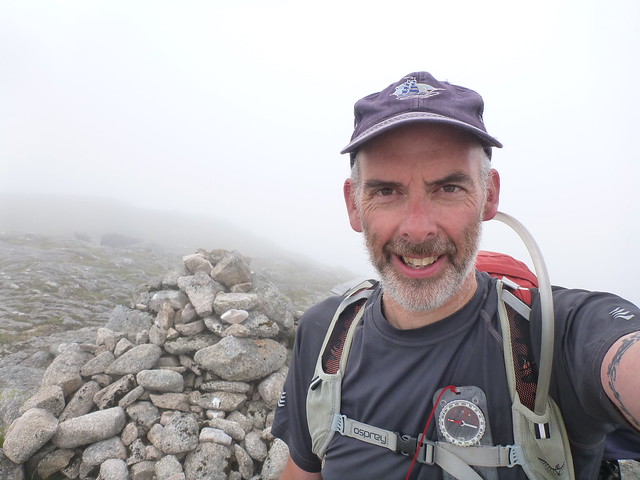
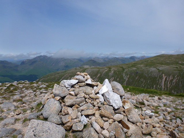
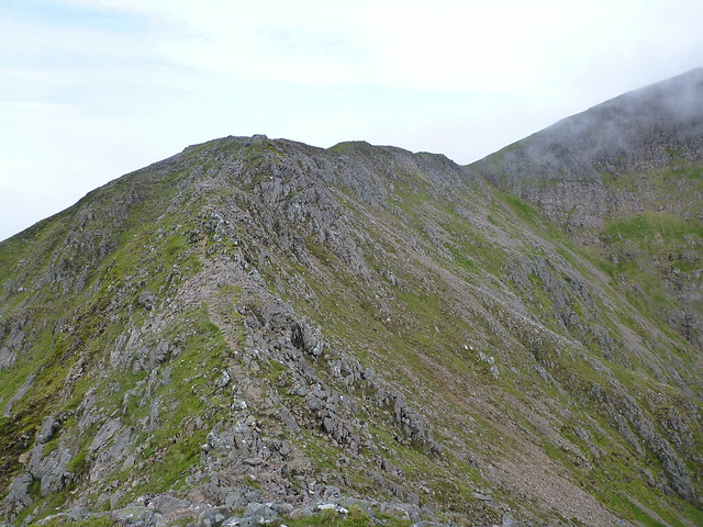
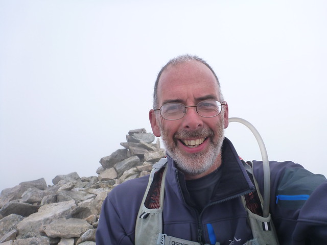
Got up to the understated cairn and moved on quickly given the lack of views. The next section involved a wee scrambly ridgewalk which was enjoyable - stuck to the crest rather than dropping down to the bypass path today - must be getting braver

 P1030114
 by
23weasels, on Flickr
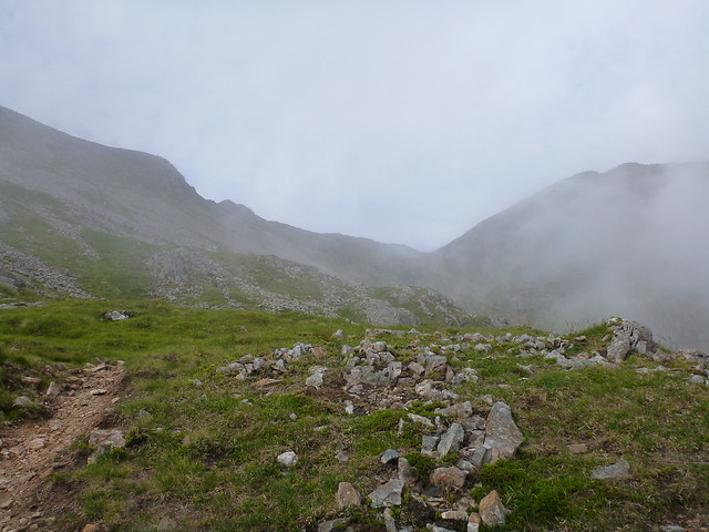
The path round the edge of the coire is quite rough underfoot and from Stob Coire Dearg I headed off to the south to find my way to Beinn nan Aighenan which was entirely invisible in the mist.

 P1030115
 by
23weasels, on Flickr
Missed the cairn that is the sign for cutting down

and had a bit of bearing-taking to do, but eventually met with the path and after that it was plain sailing to follow the shoulder of the hill right to the top. Had taken almost 4 hours up to this point, which was more than I'd expected. Met a group of 4 guys when I was on the return leg - they were doing the same circuit but in reverse from me.
 P1030116
 by
23weasels, on Flickr
 P1030122
 by
23weasels, on Flickr
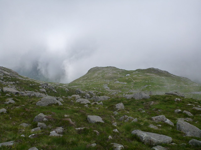
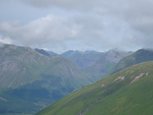
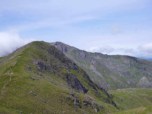
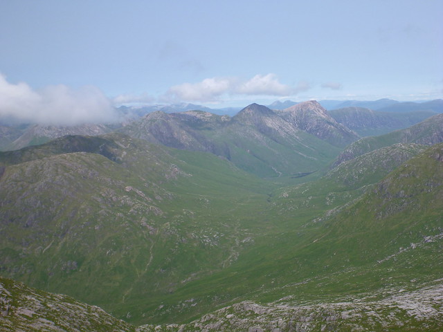
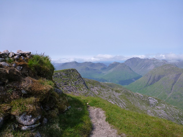
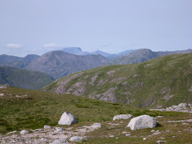
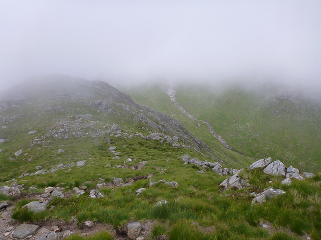
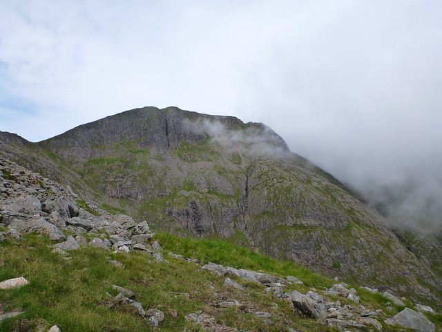
By the time I got back to the bealach between Starav and Meall nan Tri Tighearnan the mist was beginning to clear from the tops and I could at last see the delights of Starav

.
 P1030125
 by
23weasels, on Flickr
 P1030127
 by
23weasels, on Flickr
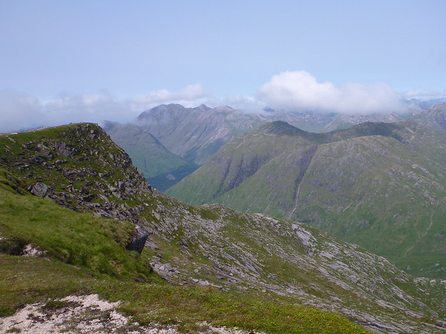
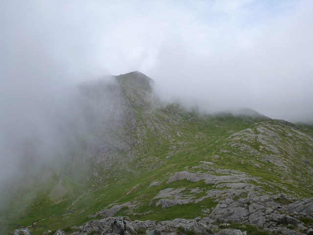
Walking over to Glas Bheinn Mhor I was unable to get a clear view of Beinn Nan Aighenan's top as there was a puff of cloud that refused to budge and reveal where I'd been, like a modest stripper keeping her virtue under wraps.

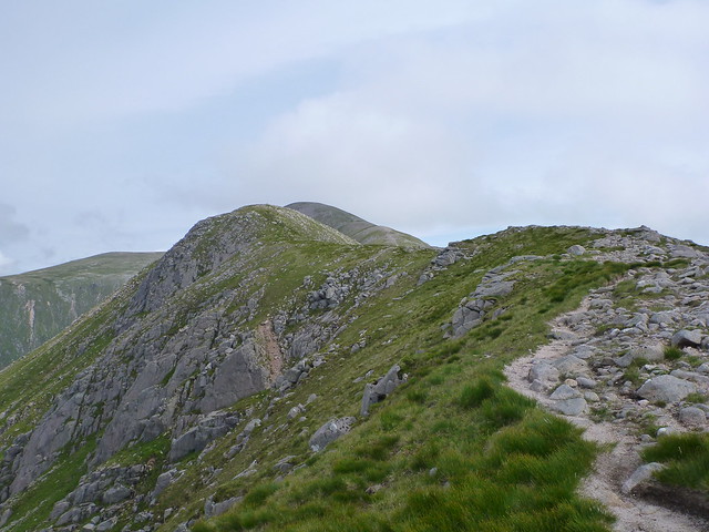
As I wandered over the rounded hump of Meall nan Tri Tighearnan there's a modest drop before the ground rises gently upwards again to Glas Beinn Mhor
 P1030128
 by
23weasels, on Flickr
 P1030131
 by
23weasels, on Flickr
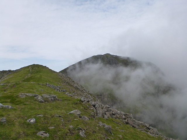
Still kept looking back to the ridged bulk of Starav
 P1030130
 by
23weasels, on Flickr
Puff of cloud still in place over BNA
 P1030132
 by
23weasels, on Flickr
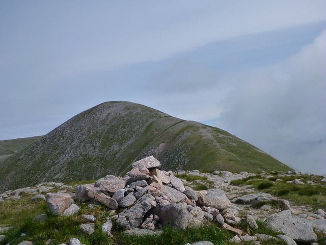
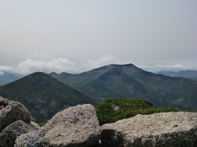
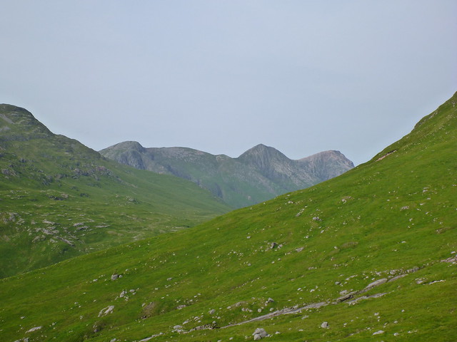
Glas Bheinn Mhor with Stob Coire An Albannich beyond
 P1030133
 by
23weasels, on Flickr
Top GBM
 P1030136
 by
23weasels, on Flickr
 P1030141
 by
23weasels, on Flickr
 P1030142
 by
23weasels, on Flickr
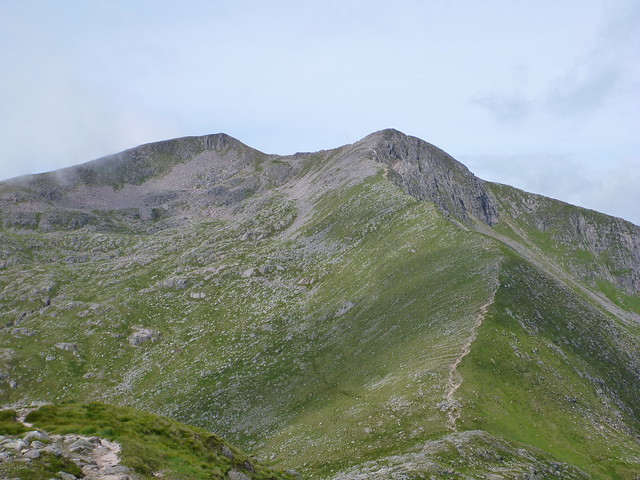
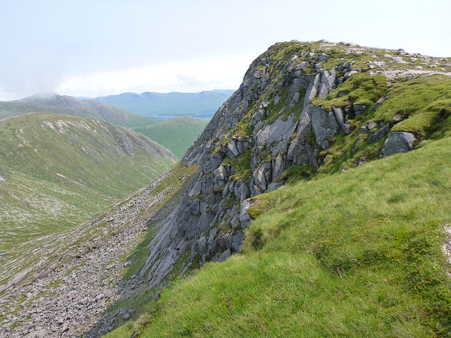
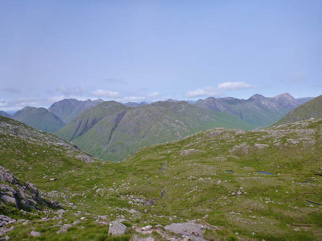
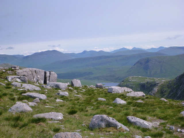
Down to the bealach between GBM and SCAA then up a faint zigzag path towards the impressive top of SCAA, over boggy terrain that was mostly dried. Got to the ridge looking down to Coire Leacach and enjoyed expansive views all around.
 P1030143
 by
23weasels, on Flickr
 P1030144
 by
23weasels, on Flickr
 P1030145
 by
23weasels, on Flickr
 P1030146
 by
23weasels, on Flickr
 P1030147
 by
23weasels, on Flickr
 P1030148
 by
23weasels, on Flickr
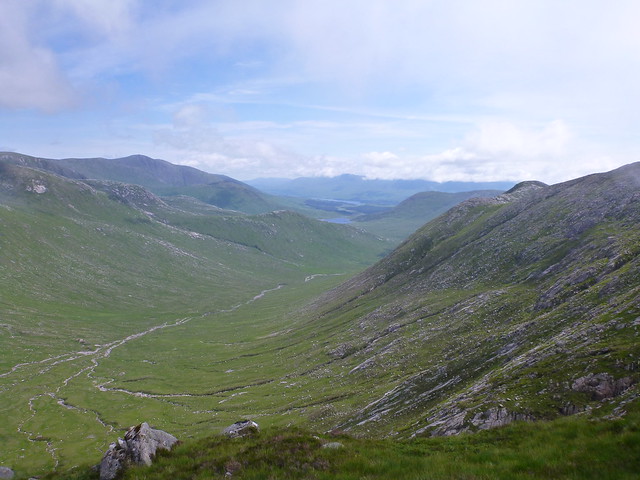
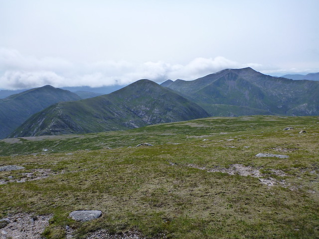
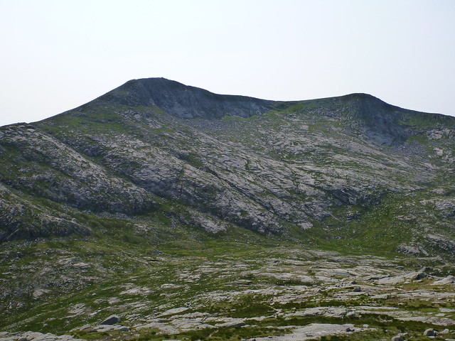
After heading off to the south and losing around 400m ascent I made up to the top of Meall Tarsuin and saw the grassy whaleback of the final hill of the day, Meall nan Eun lying ahead. Was feeling it after all the ups and downs of the day - for a brief moment I considered walking on along to Stob Ghabhar, but I'd have no way of getting back easily and, let's face it, it was going to be a hill too far. Plus I considered that Ghabhar needed a bit more respect than being crammed in at the end of a long day.

 P1030150
 by
23weasels, on Flickr
 P1030151
 by
23weasels, on Flickr
 P1030152
 by
23weasels, on Flickr
 P1030153
 by
23weasels, on Flickr
Looking back at SCAA
 P1030154
 by
23weasels, on Flickr
 P1030156
 by
23weasels, on Flickr
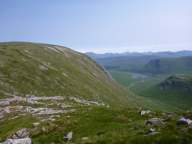
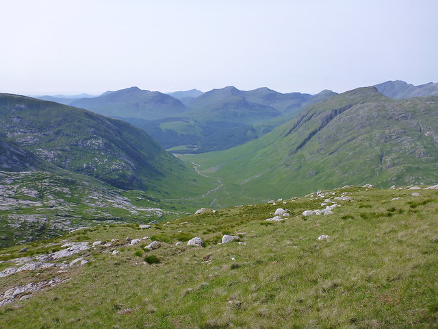
So after an easy climb up the rounded back of MNE and looking around at the surrounding summits, I headed off north west for the return leg along Glen Ceitleir.
 P1030157
 by
23weasels, on Flickr
 P1030160
 by
23weasels, on Flickr
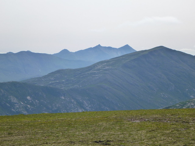
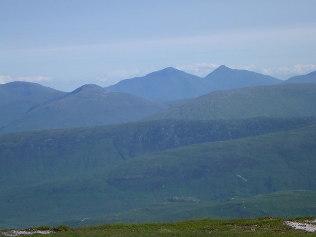
Cruachan
 P1030161
 by
23weasels, on Flickr
More & Stobinien
 P1030162
 by
23weasels, on Flickr
 P1030164
 by
23weasels, on Flickr
 P1030166
 by
23weasels, on Flickr
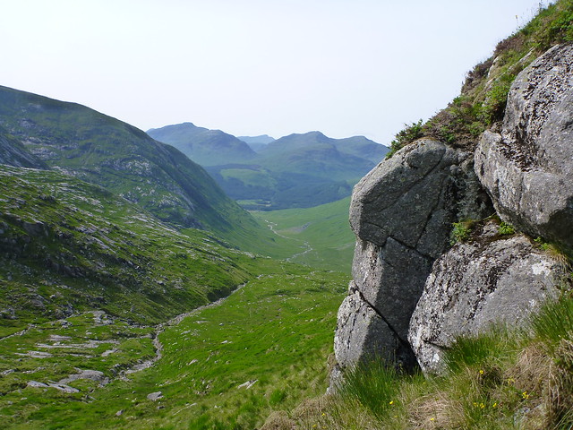
Descent route
 P1030167
 by
23weasels, on Flickr
 P1030168
 by
23weasels, on Flickr
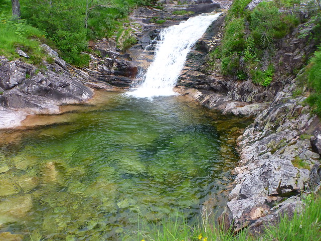
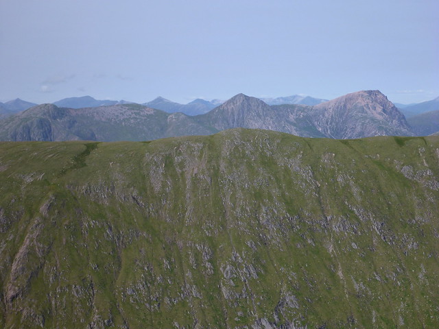
I came down a bit too soon into Coirean Riabhach and found the going a bit steep initially, then met up with the long and winding path, stopping for a drink now and then at one of the waterfalls that poured over the rocks - not the icy water from the streams I'm used to. Enough views of other hills on the way down to keep the interest levels up.
 P1030169
 by
23weasels, on Flickr
 P1030170
 by
23weasels, on Flickr
 P1030171
 by
23weasels, on Flickr
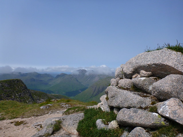
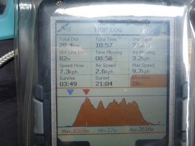
Finally got back to the main track and was rewarded with great views of the sheer coiled bulk of Starav ahead of me as I walked back to the car. I did think of going back up it again to enjoy it in the sunlight - but only for a millisecond before sanity kicked in - had taken just short of 11 hours and I was feeling a bit tired by this point.

 P1030173
 by
23weasels, on Flickr
 P1030178
 by
23weasels, on Flickr
Back to the car and up the camping glen again - was feeling quite hungry and the thought of a pack of dehydrated food didn't appeal over much

- given that I had to head to Bridge of Orchy to get to Victoria Bridge it seemed entirely reasonable to head a little further to Tyndrum to the Good Food Cafe and have one of their wonderful fish suppers
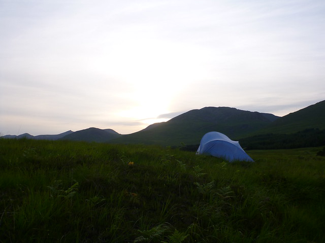
Drove back up the wee road from Bridge of Orchy to Inveroran and stopped for a Guinness in the Inveroran hotel before pitching for the night just up behind the car parking area at Victoria Bridge. A restful night on a spongy bed of heather, apart from the midge invasion of the tent when I'd originally got in - spent the next hour trying to annihilate them.

 P1030179
 by
23weasels, on Flickr
Was planning to get up early and get out on the hills before the heat got up - and before the droves of sunday walkers I'd anticipated made their appearance. Looked out of the tent at 4.40 to find the sky heavy with clag and the tent soaked with dew. Another hour's rest it looked better - little blankets of cloud skimming the hills.
 P1030180
 by
23weasels, on Flickr
Sunrise over Loch Tulla
 P1030181
 by
23weasels, on Flickr
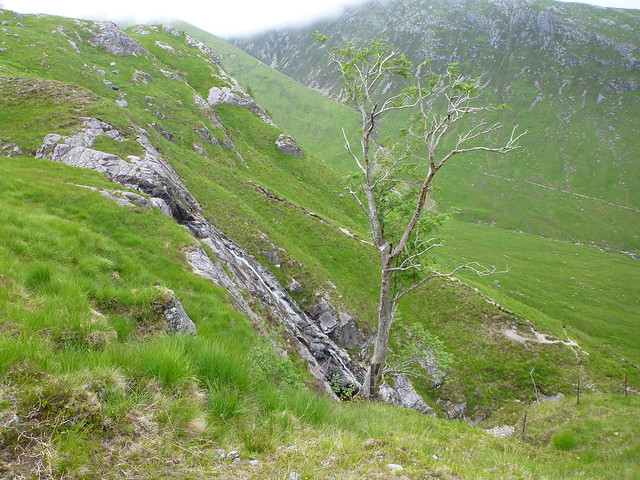
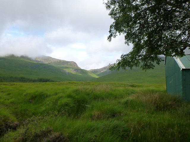
Some porridge and then out onto the hills for 6.30. Walked up to Forest Lodge, with another couple of clusters of holiday campers already up with their campfires (or maybe they'd still to go to bed). Wandered along to the Clashgour hut and took a right up by the side of Allt Toaig leakage of oil from somewhere higher up was seeping out of the peat into the water. Bleached bones of the ancient forest emerged from the peaty track underfoot. Reached the ford where the path heads up Stob Coire Odhair and a steep bit of climbing up the grassy, rocky hillside ensued. I was feeling a bit out of sorts this morning, needed some mango slices and regular stops to get me going. As I got higher up SCO I once again got immersed in mist - ach well another no view early summit.
 P1030185
 by
23weasels, on Flickr
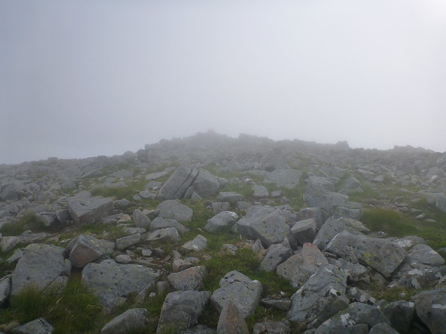
The last section towards the cairn is a boulderfield but no major problems in finding the way. Had to put on jacket and gloves by this time as the temperature has dropped substantially in the clag.
 P1030188
 by
23weasels, on Flickr
 P1030189
 by
23weasels, on Flickr
There's a rocky descent down to Coire Toaig where the path is initially hard to spot and compass was required in the clag.
 P1030190
 by
23weasels, on Flickr
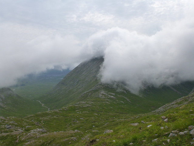
As I dropped down to 650m I could see the slopes of Stob Ghabhar ahead, with the top invisible in mist. The wind started to get up a bit, whisking the clouds along and creating some interesting spectacles as it did so.
 P1030191
 by
23weasels, on Flickr
 P1030192
 by
23weasels, on Flickr
 P1030197
 by
23weasels, on Flickr
 P1030200
 by
23weasels, on Flickr
Walking further along I passed the impressive bulk of Couloir Buttress and could see the ridge joining that to the main summit of Ghabhar.
 P1030198
 by
23weasels, on Flickr
 P1030199
 by
23weasels, on Flickr
The path up the north side of the buttress is steep and rocky - quite fancy doing this in winter. Once at the top it was time for the "other" Aonach Eagach - however this was passed with no difficulty whatsoever, despite the wind having chosen this moment to gust at cross-purposes to me.
 P1030201
 by
23weasels, on Flickr
 P1030202
 by
23weasels, on Flickr
 P1030203
 by
23weasels, on Flickr
Onto the foot of the climb up to the summit of Ghabhar, which rose rather menacingly out of the mist.
 P1030204
 by
23weasels, on Flickr
The path snakes near the edge down to lower couloir and was enjoyable. After a short while got to the rocky summit and happily claimed number 150. A good hill to do it on too.
 P1030205
 by
23weasels, on Flickr
 P1030206
 by
23weasels, on Flickr
Back down, taking a right turn at the obvious cairn and following the line of fenceposts down towards the waterfall. Had warmed up by this time. Going was slow as the track is rocky and eroded and my feet were both a bit sore.
 P1030208
 by
23weasels, on Flickr
 P1030209
 by
23weasels, on Flickr
Once down past the waterfall it was a simple matter of linking up with the approach path again and returning along the riverside to the carpark, which by now was much fuller than it had been at 6.30. A quick bite to eat then back down the road just after 12 - nice to get home mid afternoon for a change!

