free to be able to rate and comment on reports (as well as access 1:25000 mapping).
With the amazing weather we've been having, I was itching to get back on the hills after returning from a great holiday in Bali. Last week the weather in Scotland seemed almost Balinese itself, just with less humidity and volcanoes around. On Saturday I returned to Tyndrum, scene of an unrelentingly tough walk from last year that I've still to write up.

There wasn't time for any Munro-bagging as I was coming back to Glasgow for dinnertime, and felt Ben Lui would be outwith my reach today, so I settled for the Graham/Corbett combo of Meall Odhar and Beinn Chuirn on a gold/lead mining tour patented by Graeme D. It turned out to be a cracker of a day in great conditions, and really whetted the appetite for a future attempt at Ben Lui.
 T_1066171_10153050864860014_71714889_o
 by
Craiging619, on Flickr
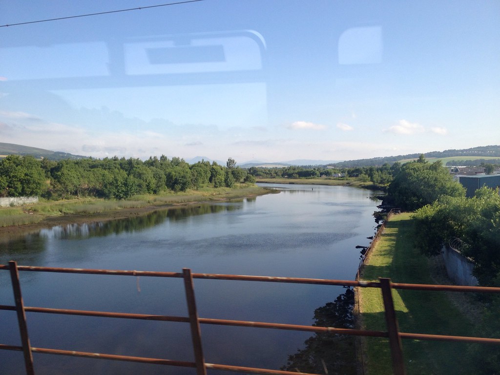
My obligatory crossing-River-Leven attempted snap of Ben Lomond.
 T_1071965_10153050862565014_1874093185_o
 by
Craiging619, on Flickr
The bonnie bonnie banks.
 T_1065644_10153050861765014_2093720883_o
 by
Craiging619, on Flickr
The remarkably steep and rugged banks!
 T_1070382_10153050860745014_1317170312_o
 by
Craiging619, on Flickr
'Till we meet again...
 T_1066662_10153050859450014_709431932_o
 by
Craiging619, on Flickr
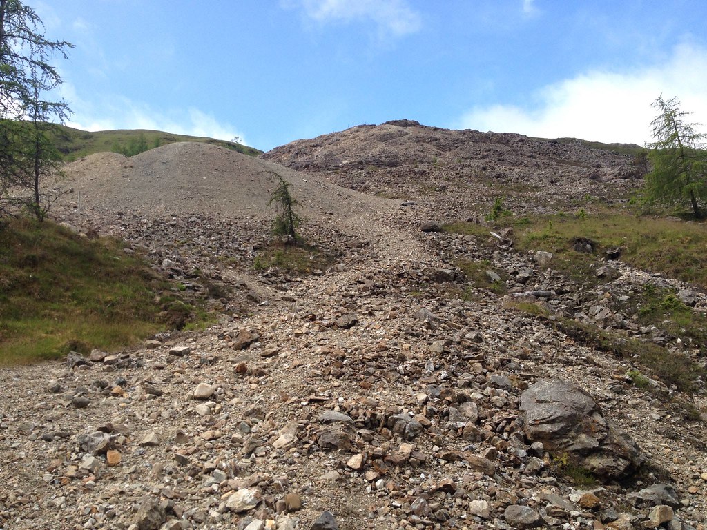
The weather had gotten rather gloomy by this stage, but it never looked like raining and I had the positive weather forecast in the back of my mind as I headed round to the scree slope/old lead mine/faint footpath up Sron nan Colan and hoped for the clouds to disappear.
 T_897154_10153050855475014_110693093_o
 by
Craiging619, on Flickr
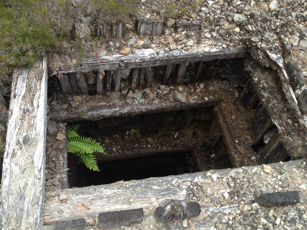
How deep is your lead?
 T_1020813_10153050854745014_178325785_o
 by
Craiging619, on Flickr
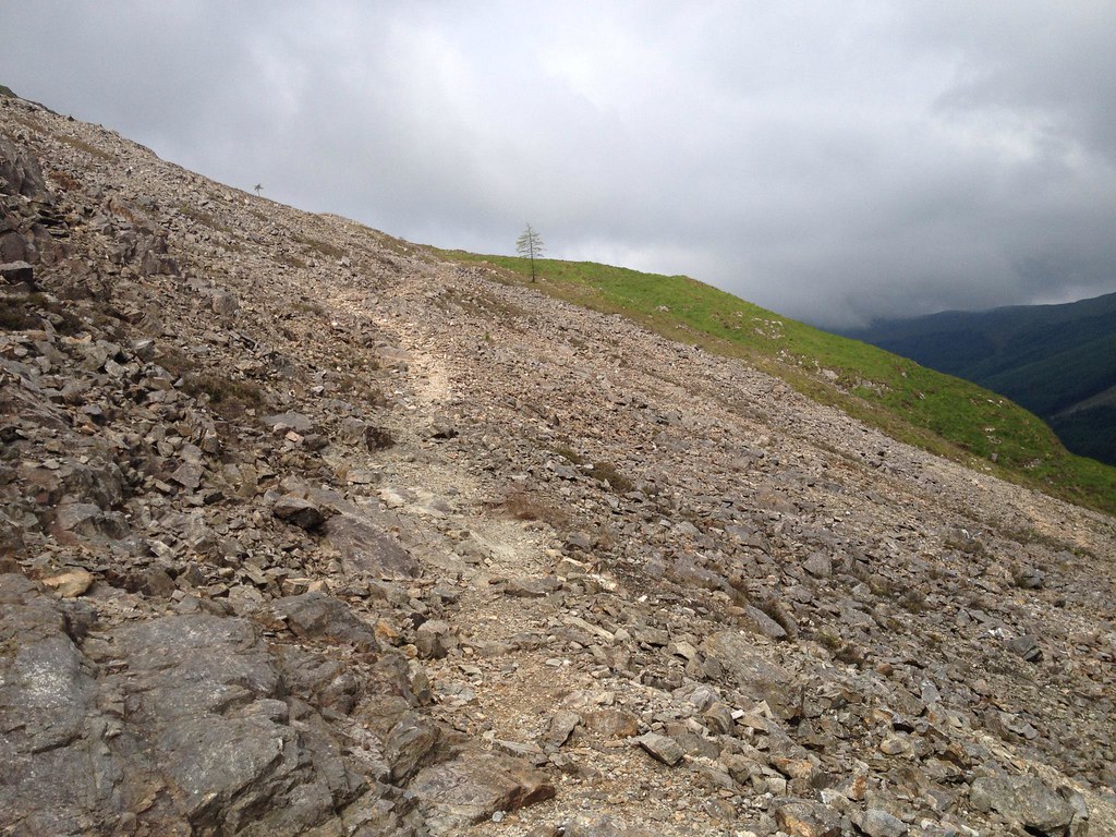
I turned left up the scree slope at a junction of paths, then after 5 minutes hopped up a slope near the first mine railings and found a lighter-coloured line of rocks that appeared to form the path up the hillside.
 T_728802_10153050849720014_240803547_o
 by
Craiging619, on Flickr
 T_1070915_10153050825950014_1207712212_o
 by
Craiging619, on Flickr
 T_938826_10153050824560014_1585950276_o
 by
Craiging619, on Flickr
 T_1070407_10153050823990014_1310852329_o
 by
Craiging619, on Flickr
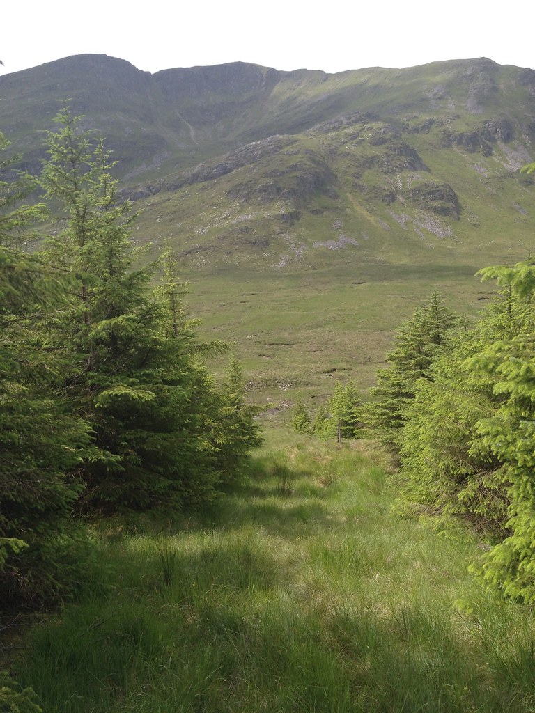
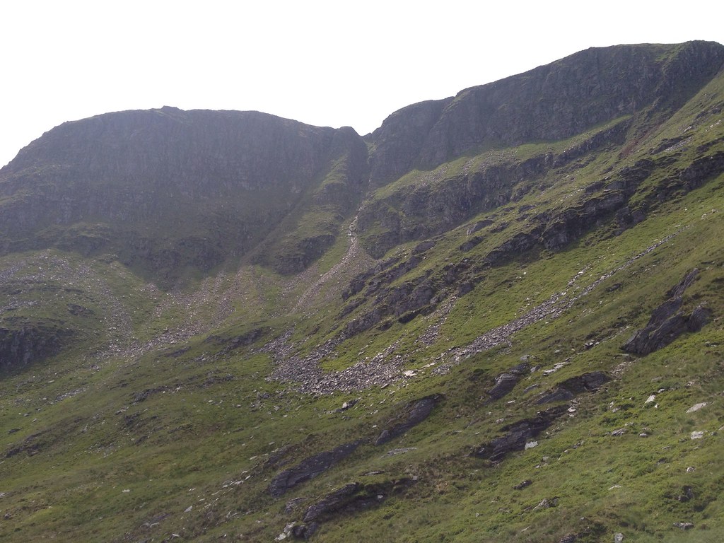
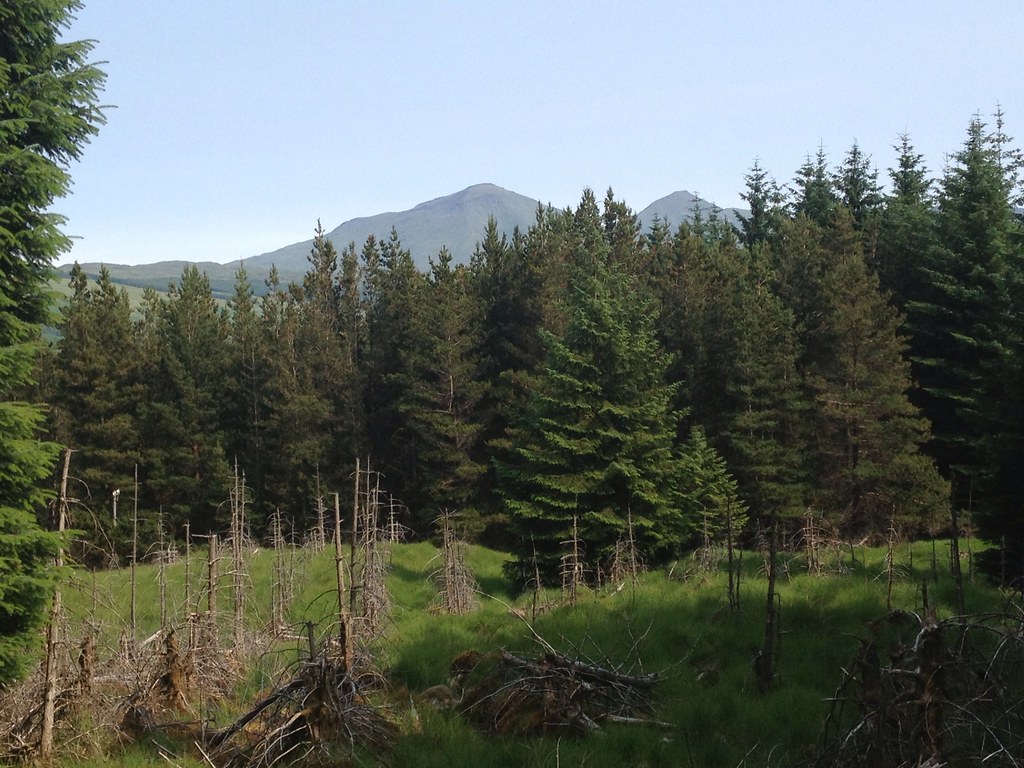
The ascent was not as bad as I had feared, and after about 30 minutes on the steep slope I emerged at the top of the old mine, following a faint path out of the scree and turning right to gain the broad ridge of Sron non Colan. A line of old fenceposts similar to Ben Reoch/Monadliath led the way with an on-off path underneath.
 T_1060597_10153050821905014_370529139_o
 by
Craiging619, on Flickr
 T_1061587_10153050821365014_1295577470_o
 by
Craiging619, on Flickr
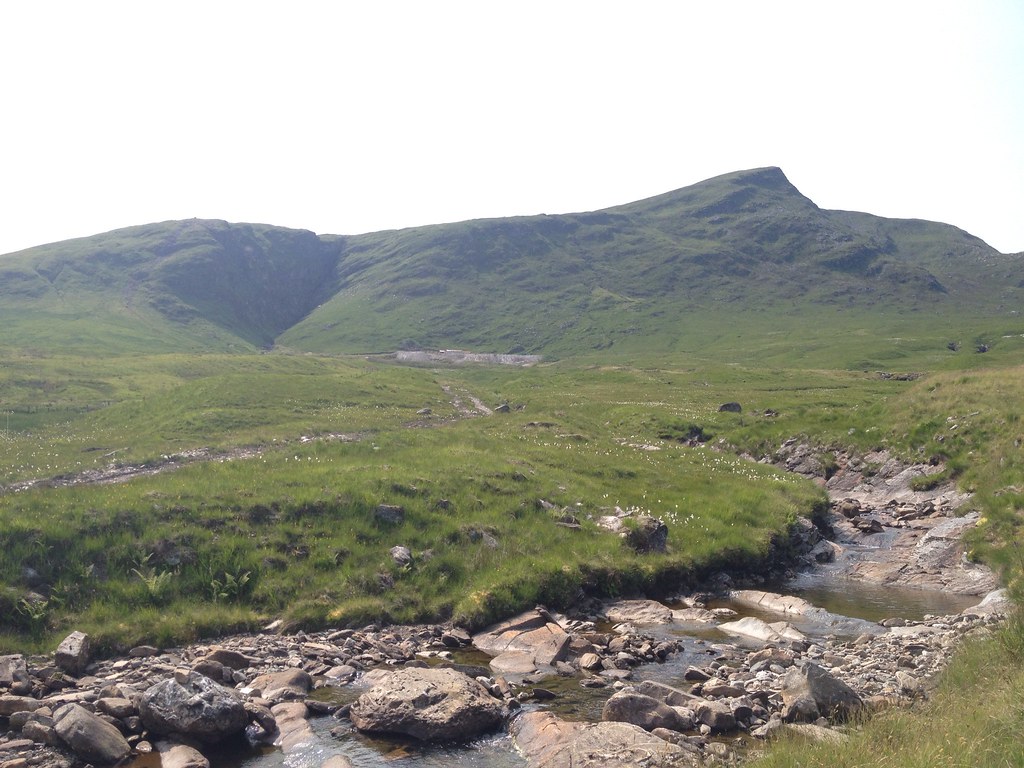
Fiarach overlooking a glum-looking Strath Fillan as the clouds rolled in.
 T_1070963_10153050819545014_1726727182_o
 by
Craiging619, on Flickr
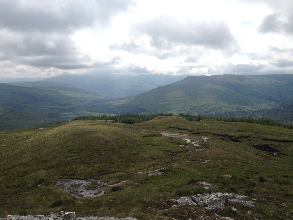
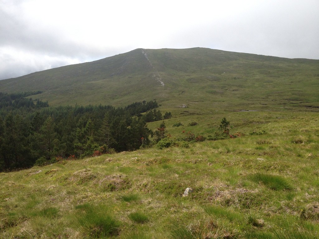
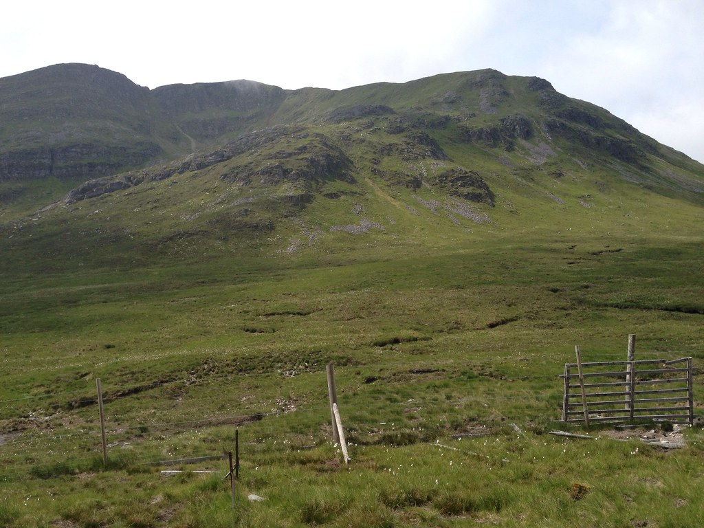
Meall Odhar had been bathed in sunshine at the start of the walk, but now even it was succumbing to cloud which swept in from above. Beinn Chuirn was hidden from view behind it, prompting me to wonder if route-finding could become a little tricky later on.
 T_1066088_10153050817425014_1611506628_o
 by
Craiging619, on Flickr
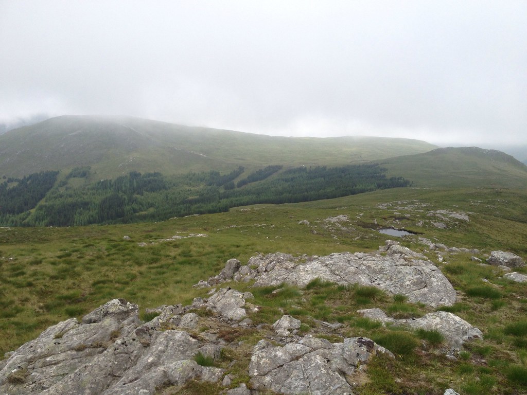
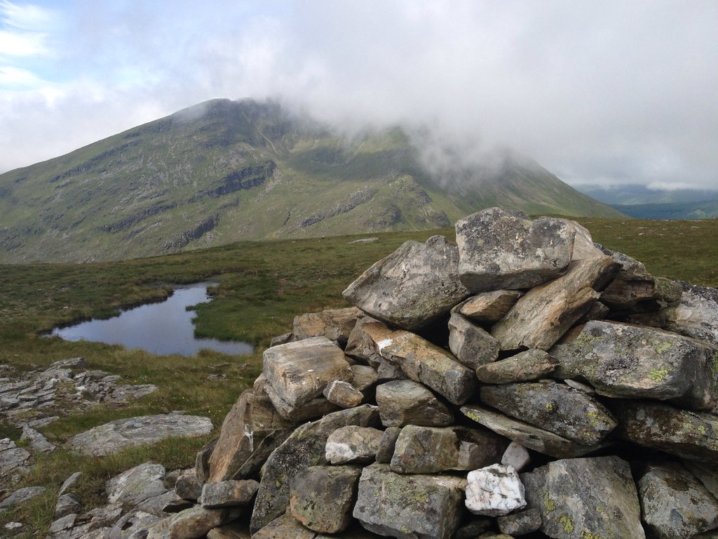
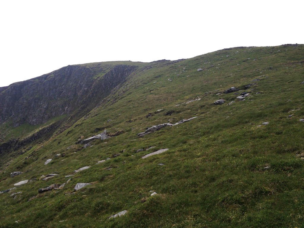
On the summit of Sron non Colan (with a surprisingly large cairn to lean on), I found conditions starting to improve dramatically. The cloud lifted from Meall Odhar, blue sky appeared above and things were starting to brighten up over on Beinn Chuirn. Could it be one of those traditional cloudy starts followed by sunny afternoons that we had grown accustomed to over the last week?
 T_1066092_10153050816935014_996391094_o
 by
Craiging619, on Flickr
 T_1062019_10153050815370014_1506262102_o
 by
Craiging619, on Flickr
 T_1065856_10153047021975014_1918443534_o
 by
Craiging619, on Flickr
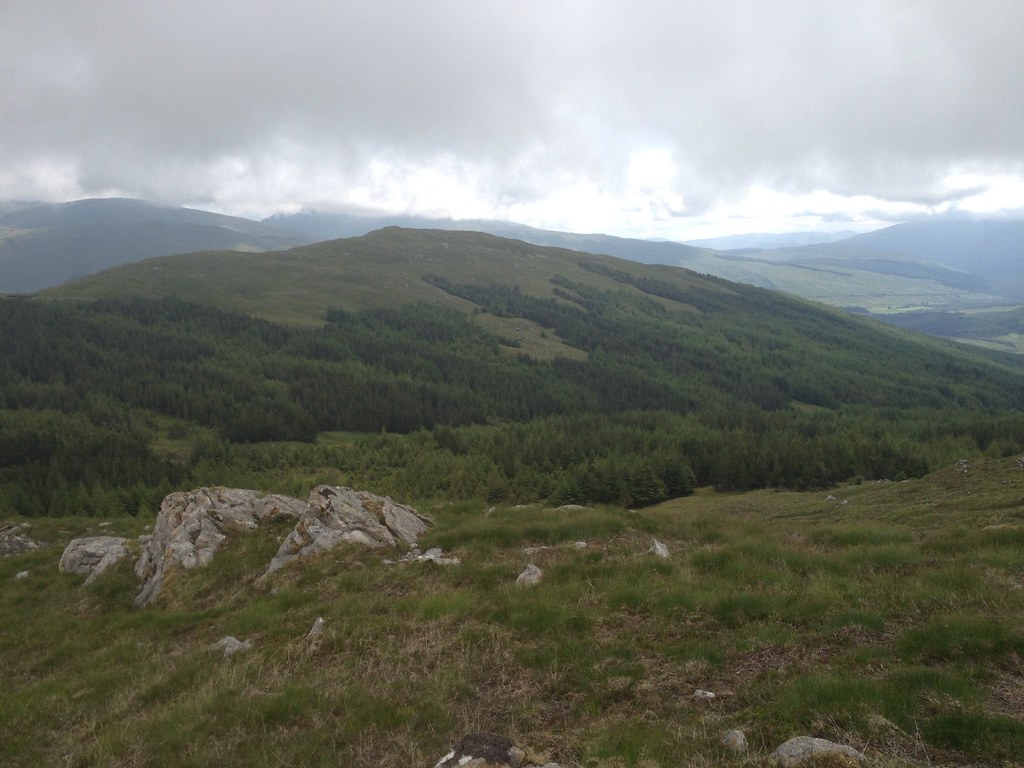
I cut through the very edge of the forest before heading for the rocky spine of Meall Odhar. Behind me the clouds still hung over Sron nan Colan, but up ahead things were looking much brighter...
 T_1061770_10153047021110014_1596317322_o
 by
Craiging619, on Flickr
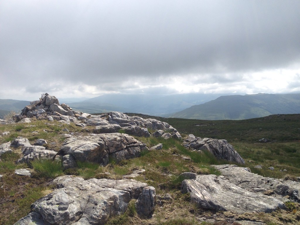
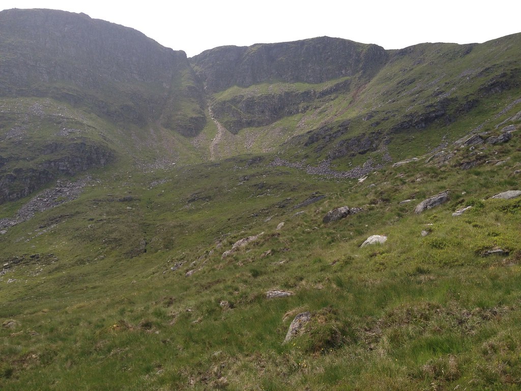
Bingo! The summit of Meall Odhar was reached just before midday, 1 1/2 hours after leaving Tyndrum Lower Station, and Beinn Chuirn lay directly ahead as the clouds cleared at last. The cairn was even larger than the one on Sron nan Colan, prompting me to wonder if they were built by teams of enthusiastic hill-walking miners back in the day. Only problem was...
 T_1071065_10153047018345014_1271150034_o
 by
Craiging619, on Flickr
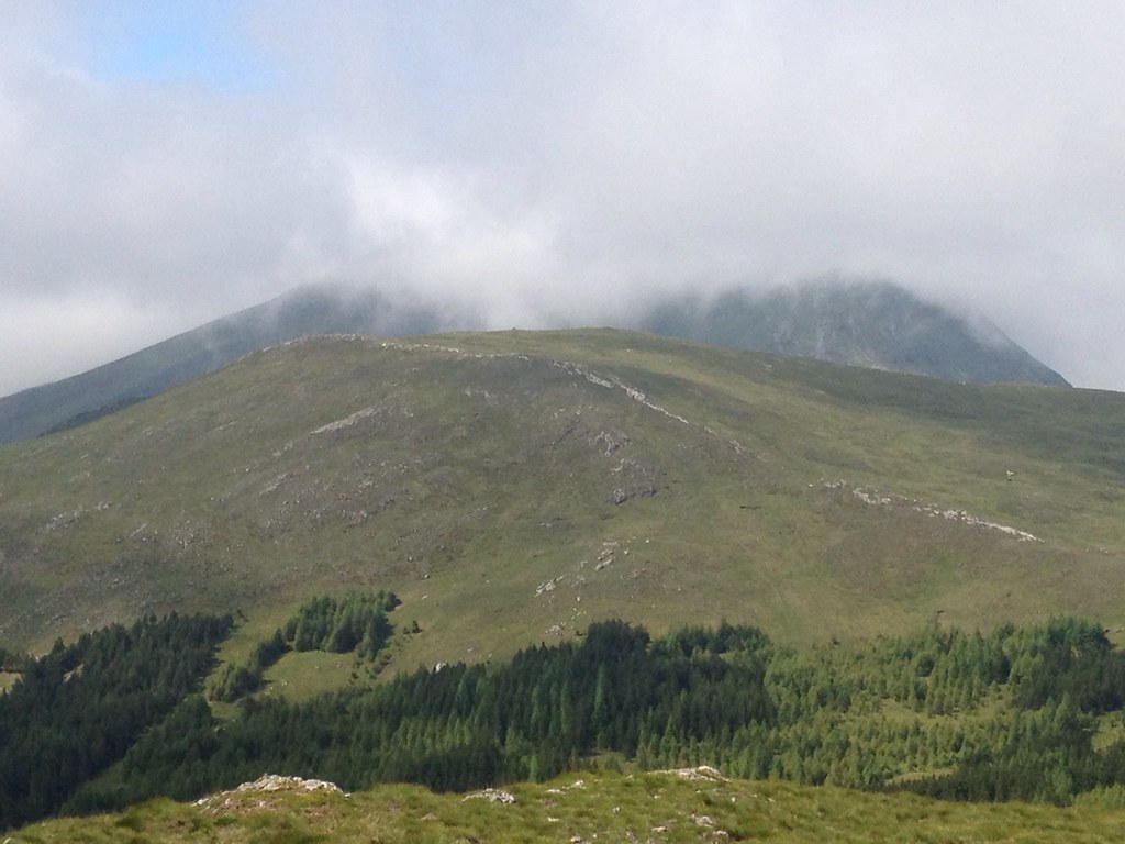
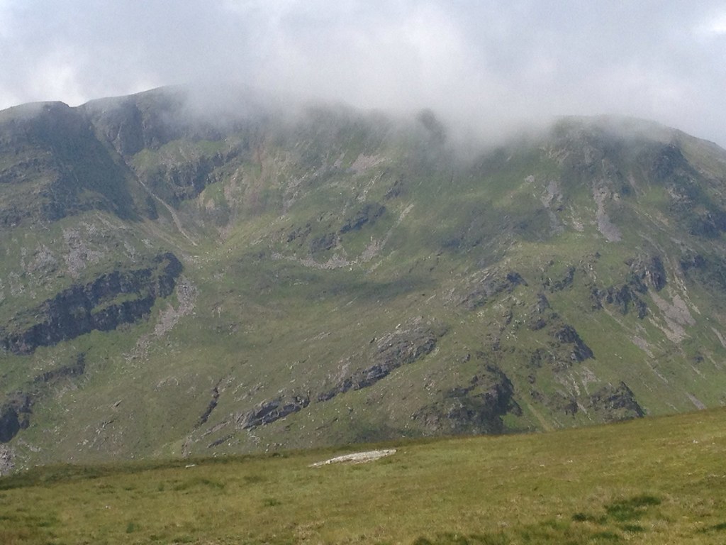
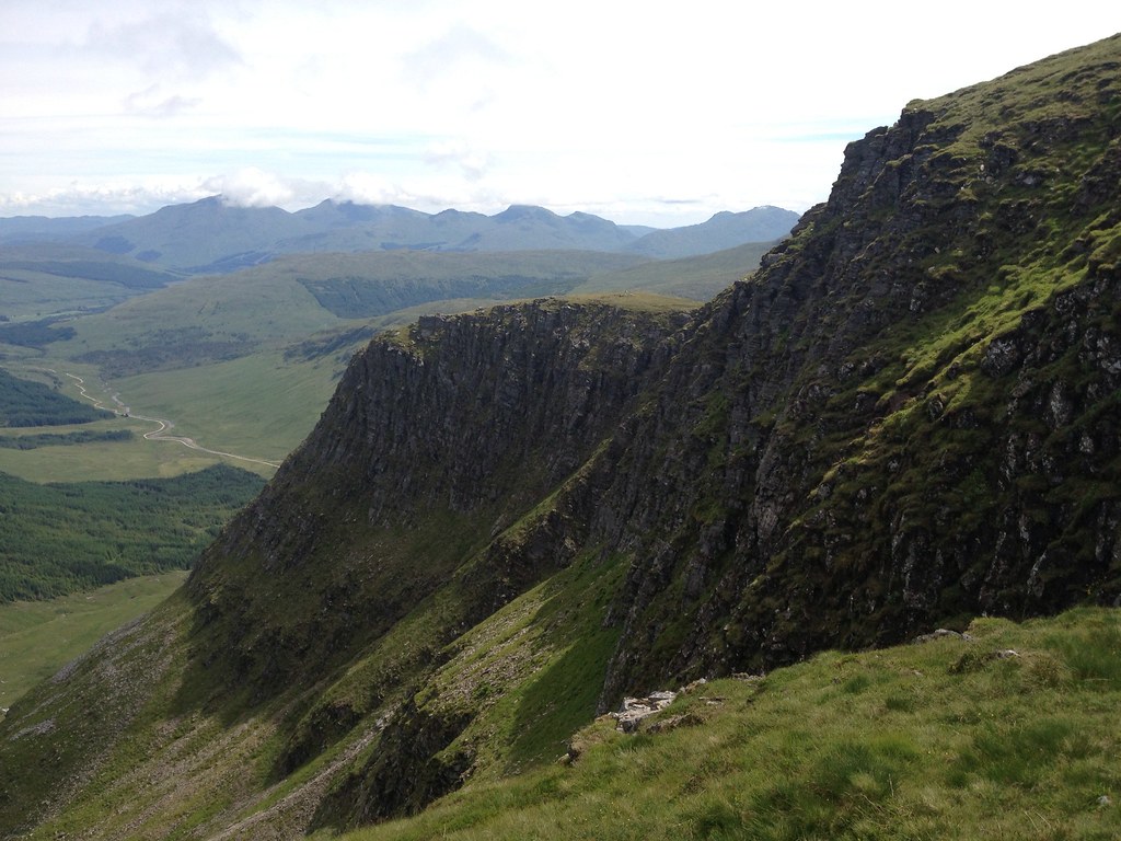
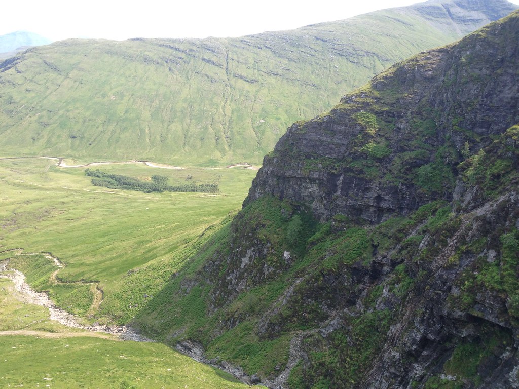
...it looked terrifying! A wall of rock lay within the corrie, with more rocky ground guarding the ridge in front. From this angle and height, it looked utterly enormous and, to a relative novice like me, almost impenetrable. Others had gone this way though, so it must be possible...?
 T_1071330_10153047017230014_981546919_o
 by
Craiging619, on Flickr
 T_1065607_10153047015390014_1096232042_o
 by
Craiging619, on Flickr
The mighty Ben Oss appeared behind the Cononish lead mine.
 T_1071788_10153047013740014_1949188921_o
 by
Craiging619, on Flickr
A mini-firebreak in the trees led me fairly easily down to the deer fence. In the distance I was certain I could see a gate allowing easy access over the tall fence.
 T_1070185_10153047013230014_146308672_o
 by
Craiging619, on Flickr
However, when I arrived I found what was in fact a single span of wooden fence, perched rather inexplicably on the wire fence. Oh well, it did for support on the way across, I suppose...
 T_1066665_10153046034465014_593304634_o
 by
Craiging619, on Flickr
After considering the best options, I opted to go straight up onto the ridge as directly as possible, saving me the hassle of climbing out of the corrie later. This section was extremely steep, and for a minute or so I felt I was rather short of options, reminding me briefly of a terrifying climb of Creag Ghuanach previously. Thankfully, it got a fair bit easier on the ridge, while still steep and fairly unrelenting.
 T_1020799_10153045985265014_936392386_o
 by
Craiging619, on Flickr
 T_1065652_10153045935695014_1728655606_o
 by
Craiging619, on Flickr
Wouldn't like to get lost up there in mist!
 T_1066557_10153045933805014_120106431_o
 by
Craiging619, on Flickr
At 800m the gradient eased significantly, so I curved left with the summit in sight.
 T_1065959_10153045933255014_1416113963_o
 by
Craiging619, on Flickr
 T_1066568_10153045931315014_1690240961_o
 by
Craiging619, on Flickr
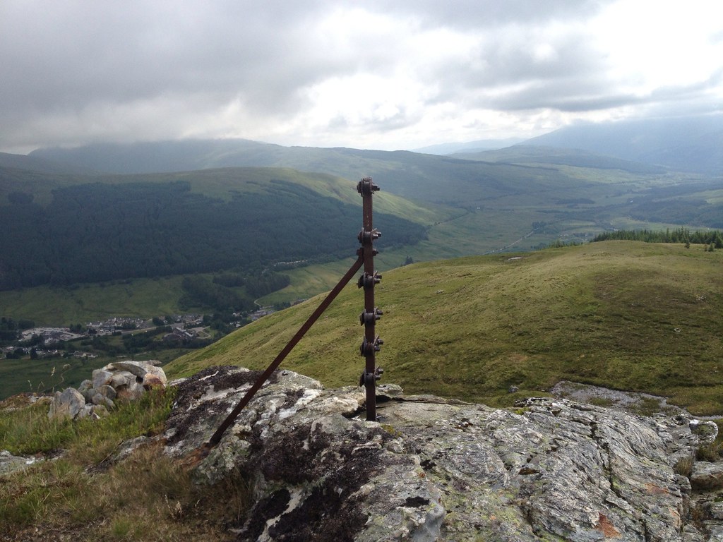
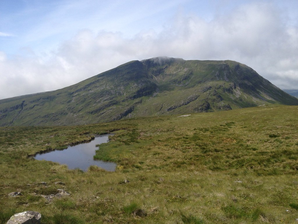
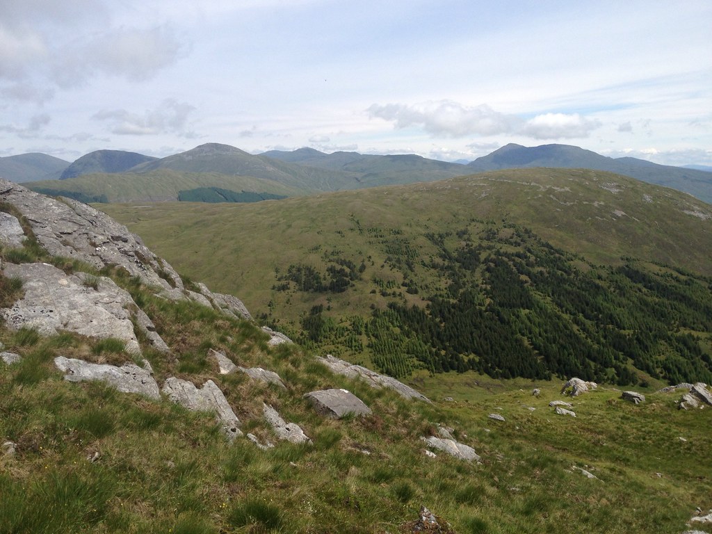
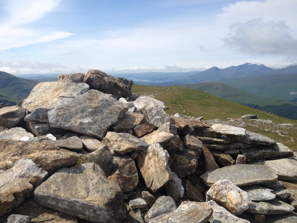
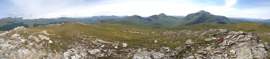
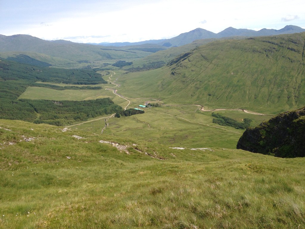
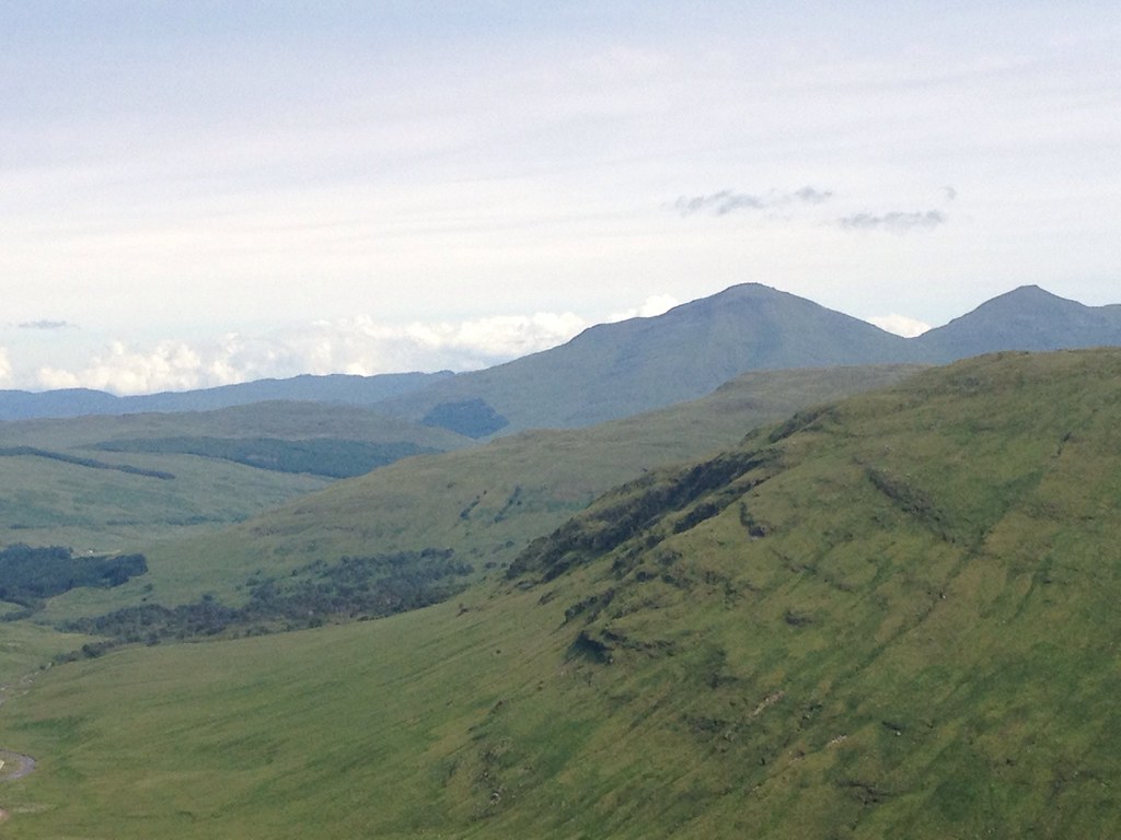
At 1:30pm, just over three hours into the climb, I reached Beinn Chuirn's summit, and by this point it had developed into a real summer's day. The reward was a 360-degree panorama of all the famous Munro's of Argyll: Cruachan, Black Mount, Bridge of Orchy, Ben Challum, Crianlarich (still shaking off the last of the cloud) and the Tyndrum beasts of Dubhchraig, Oss and Lui.
 T_1066127_10153045930135014_1922033203_o
 by
Craiging619, on Flickr
 T_1071548_10153045927520014_1278614297_o
 by
Craiging619, on Flickr
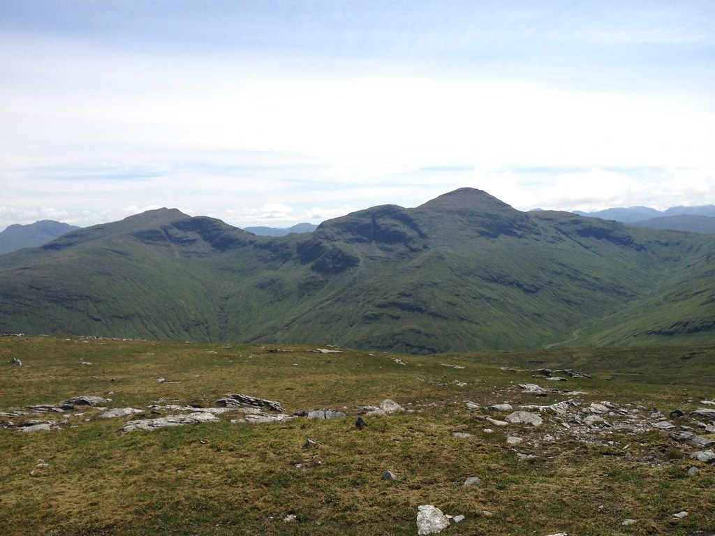
Beinn Dubhchraig and Ben Oss.
 T_1046847_10153045927145014_391474969_o
 by
Craiging619, on Flickr
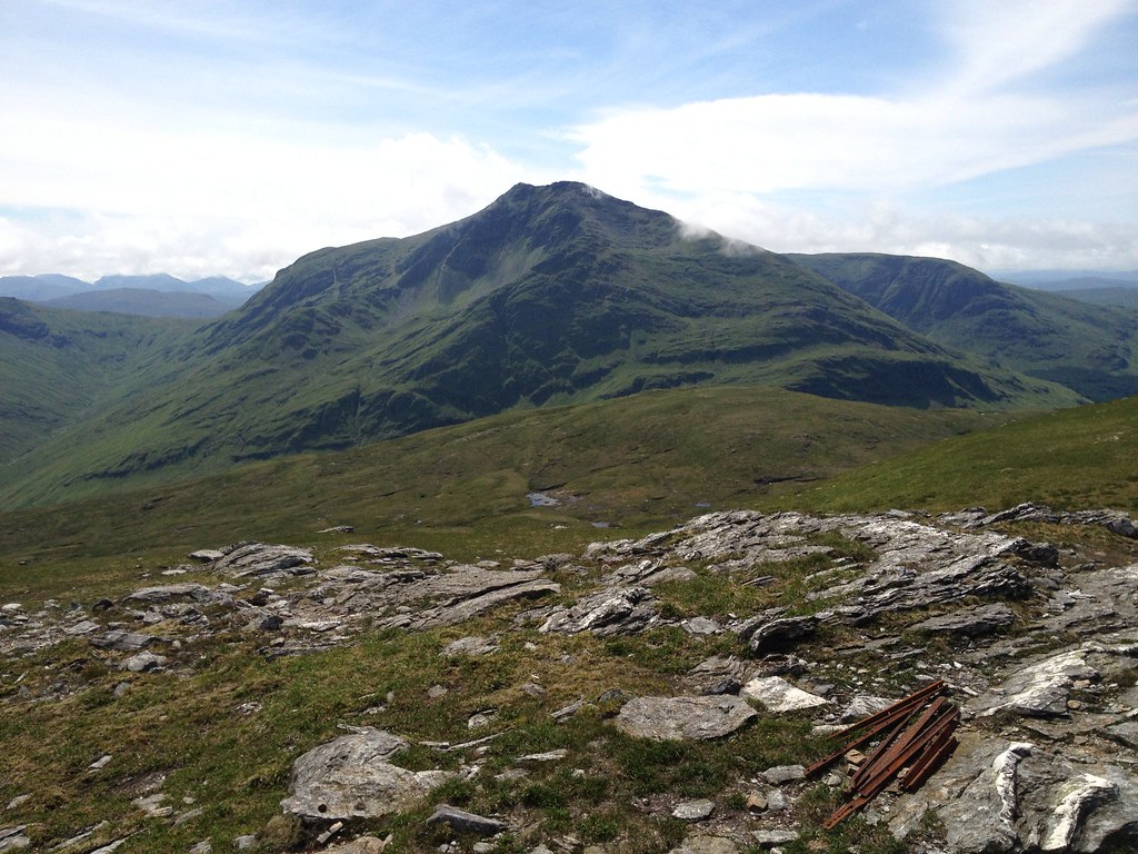
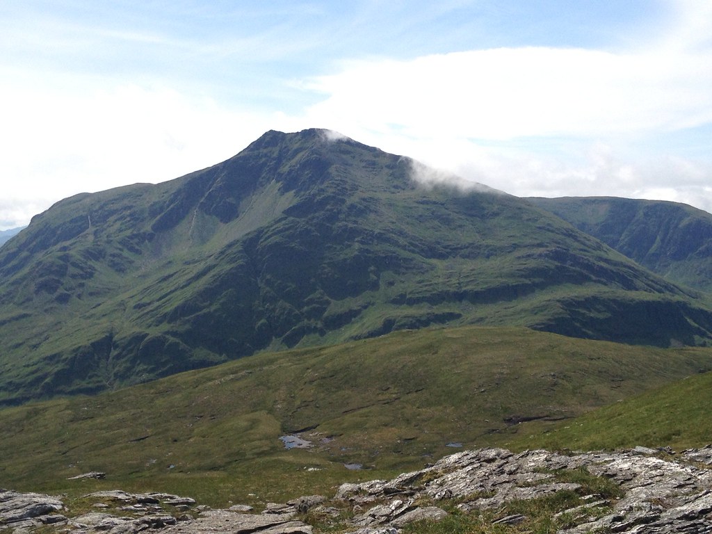
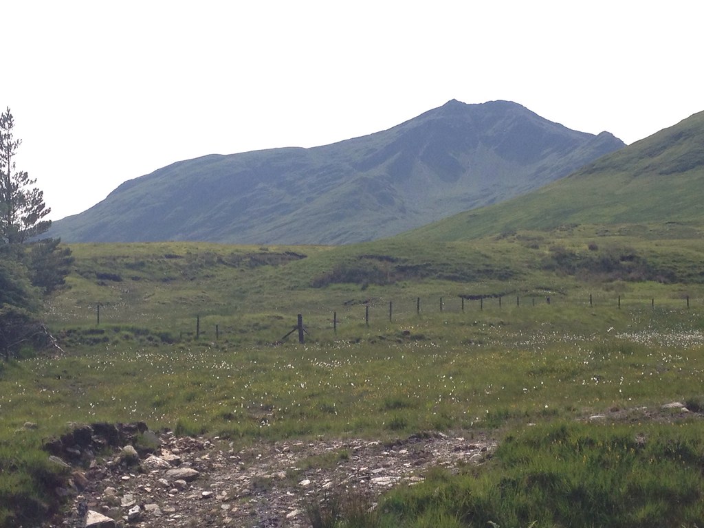
Ben Lui.
 T_1070450_10153045926105014_696627829_o
 by
Craiging619, on Flickr
Loch Awe and Ben Cruachan.
 T_1070366_10153045925705014_2106254711_o
 by
Craiging619, on Flickr
 T_1066218_10153045925220014_1488988891_o
 by
Craiging619, on Flickr
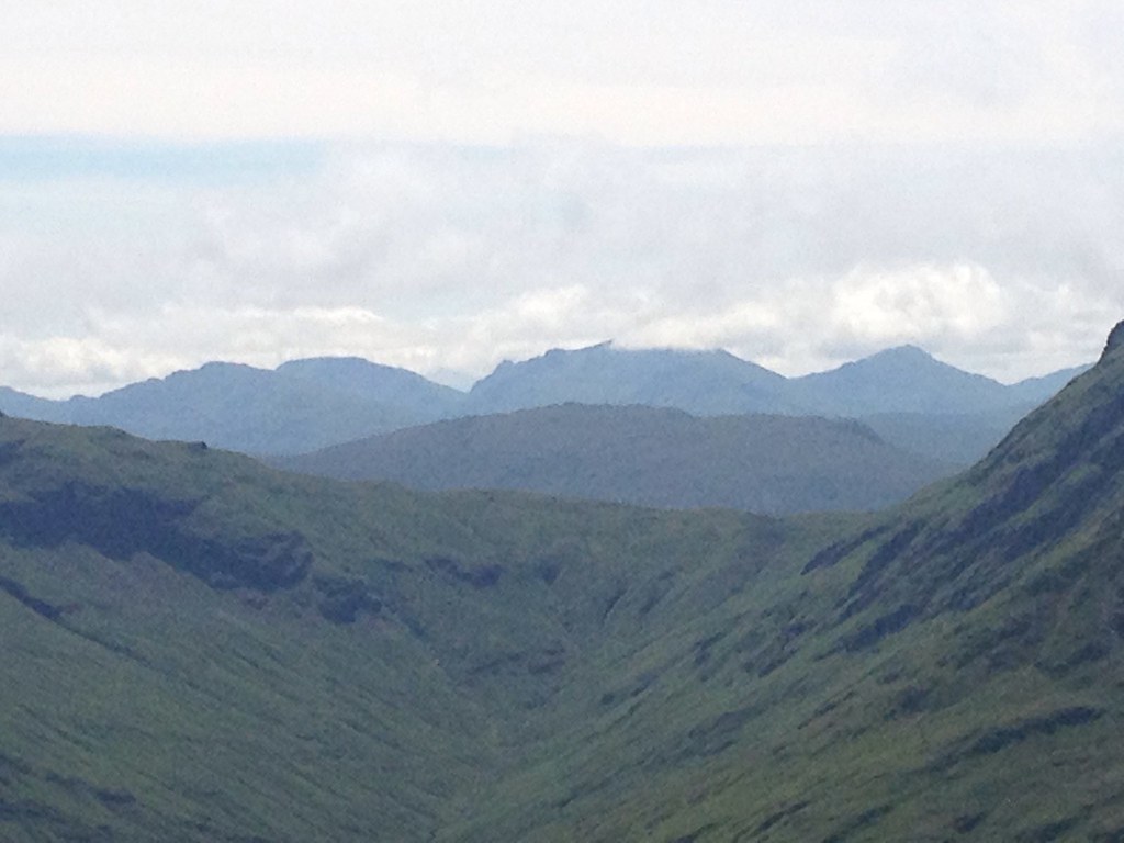
A zoom of (I think) the Arrochar Alps.
 T_1071925_10153045923710014_885805015_o
 by
Craiging619, on Flickr
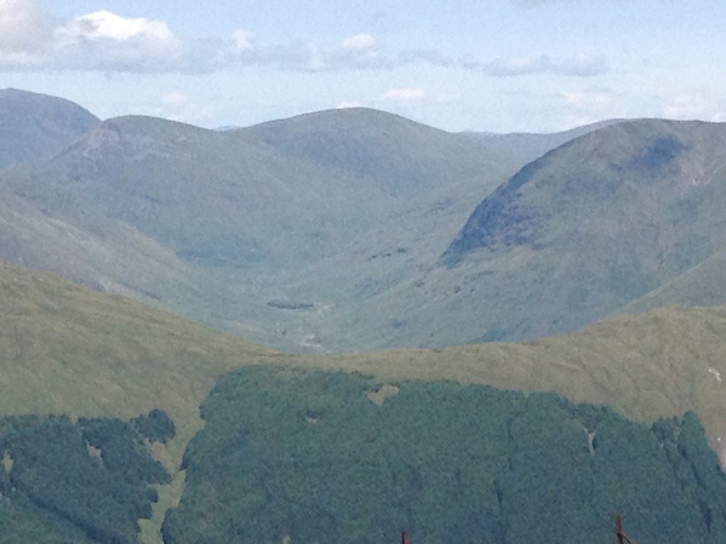
The Auch/Bridge of Orchy hills.
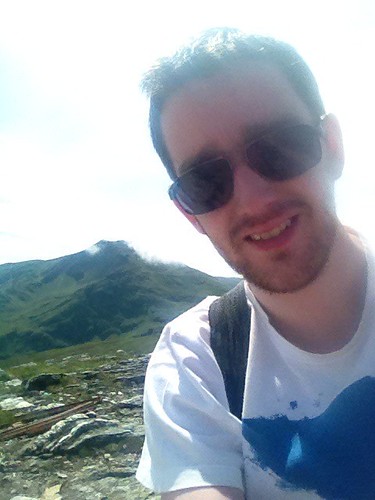 T_1058856_10153045923100014_791443504_n
 by
Craiging619, on Flickr
Me, with Ben Lui removing its sun-hat.
 T_1066447_10153045920580014_2067886563_o
 by
Craiging619, on Flickr
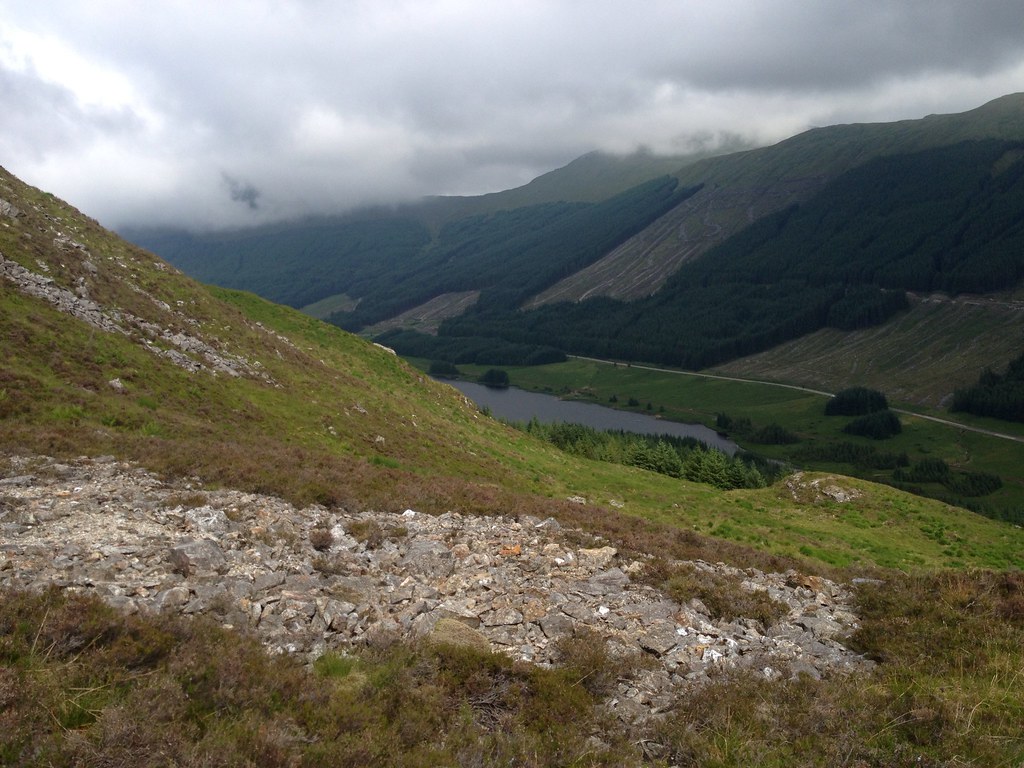
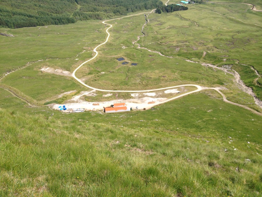
Reluctantly it was time to leave, as I was planning on getting the 5:14 train home and had just over three hours for the return along Glen Cononish. I headed down the relatively easy Southern slopes towards the Allt Eas Anie waterfall and goldmine.
 T_888548_10153045919155014_1685395481_o
 by
Craiging619, on Flickr
Edging over the brow of the hill, the goldmine appeared below me. It looked extremely close, but getting off of Beinn Chuirn would prove just as tricky as getting onto it, and each step had to be meticulously taken for the final 150m descent down to the mine.
 T_1066461_10153045918755014_994867134_o
 by
Craiging619, on Flickr
 T_1065503_10153045917335014_84816700_o
 by
Craiging619, on Flickr
 T_1070222_10153045845190014_1132141354_o
 by
Craiging619, on Flickr
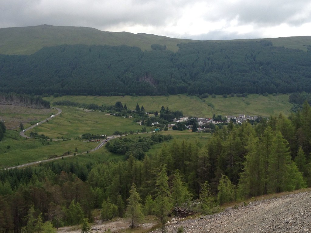
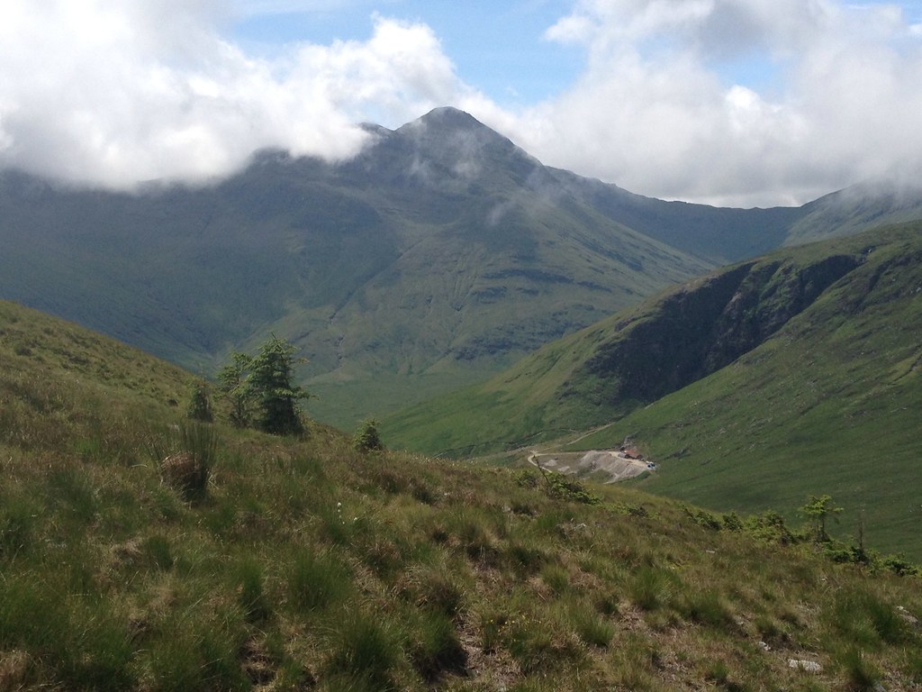
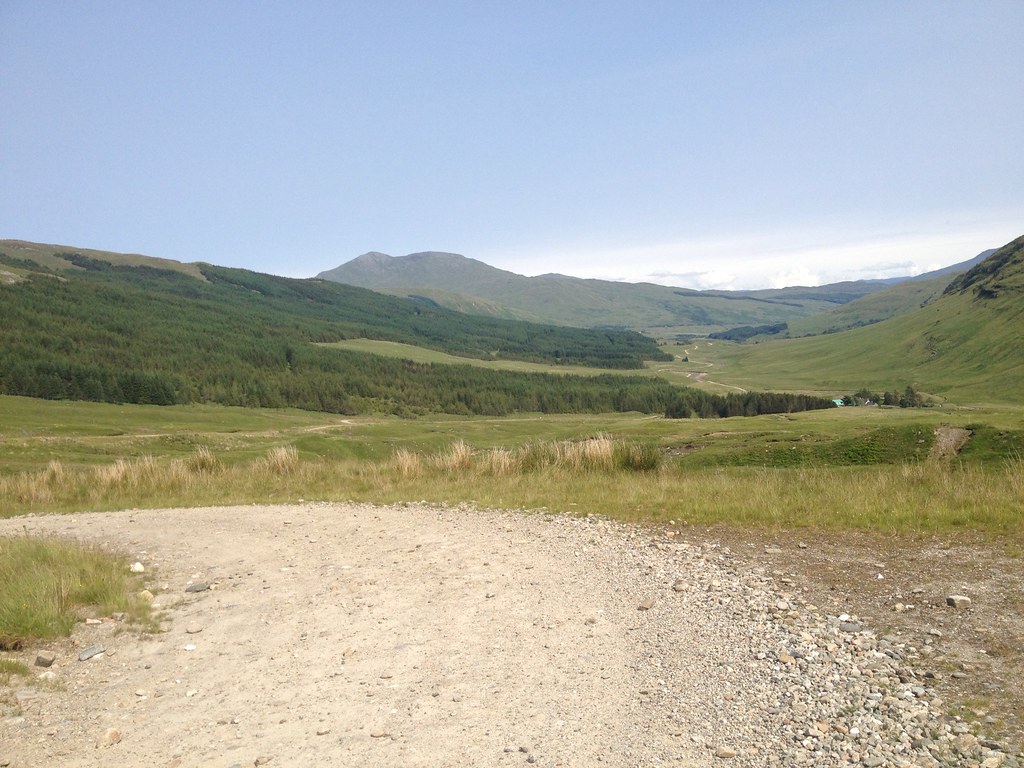
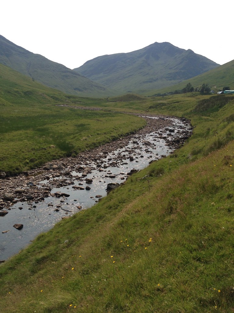
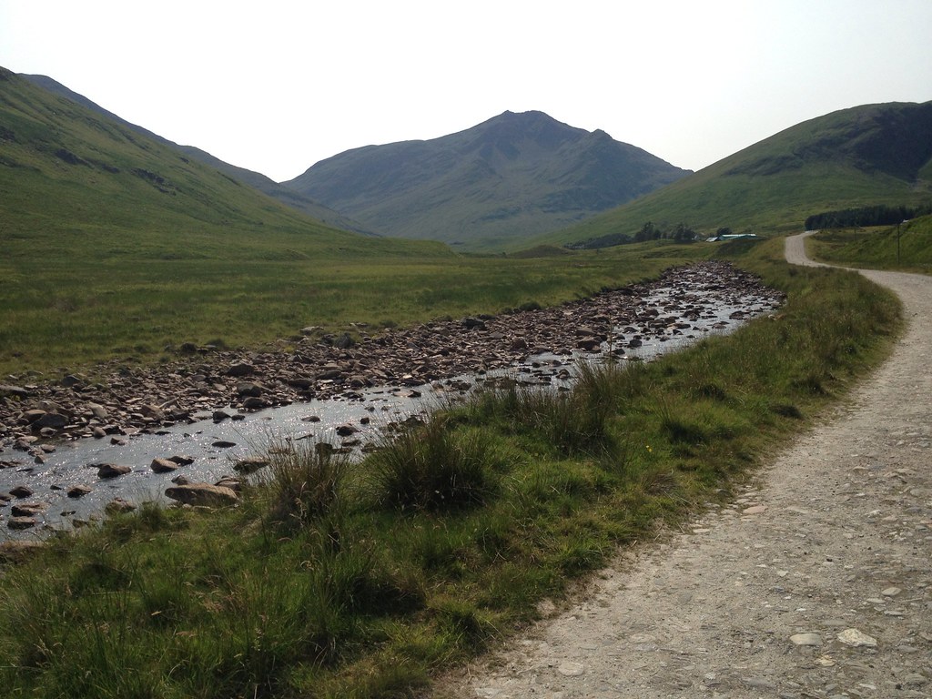
It was with some considerable relief that I reached the mine road just after 3pm. With over two hours to saunter back to Tyndrum, I could relax and enjoy the incredible views back up the glen towards Beinn Chuirn and its lookalike father, Ben Lui.
 T_1066607_10153045788490014_1493335260_o
 by
Craiging619, on Flickr
 T_1071945_10153045788015014_465696507_o
 by
Craiging619, on Flickr
 T_1070705_10153045787425014_1185528715_o
 by
Craiging619, on Flickr
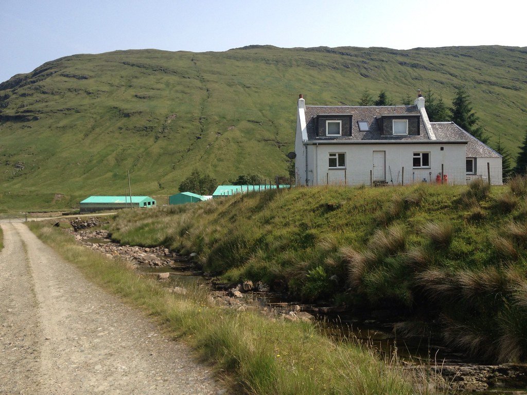
Jings, someone lives in the middle of Glen Cononish AND has a satellite dish? Not a bad deal, all things considered.
 T_1065587_10153045784360014_190486931_o
 by
Craiging619, on Flickr
 T_1020806_10153045783420014_220004433_o
 by
Craiging619, on Flickr
 T_1065783_10153045782585014_1031305553_o
 by
Craiging619, on Flickr
Wowzers.
 T_1071491_10153045779395014_1034275412_o
 by
Craiging619, on Flickr
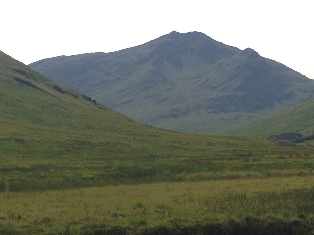
Ben More and Stob Binnien appeared over the trees near Tyndrum.
 T_1059767_10153045778375014_1686745371_o
 by
Craiging619, on Flickr
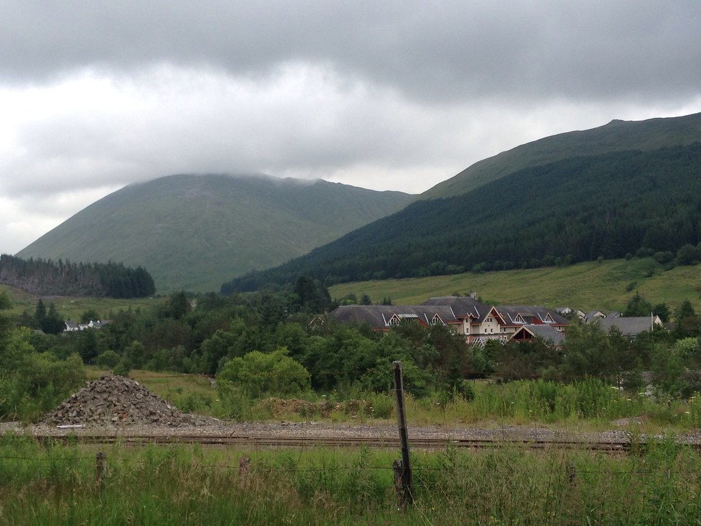
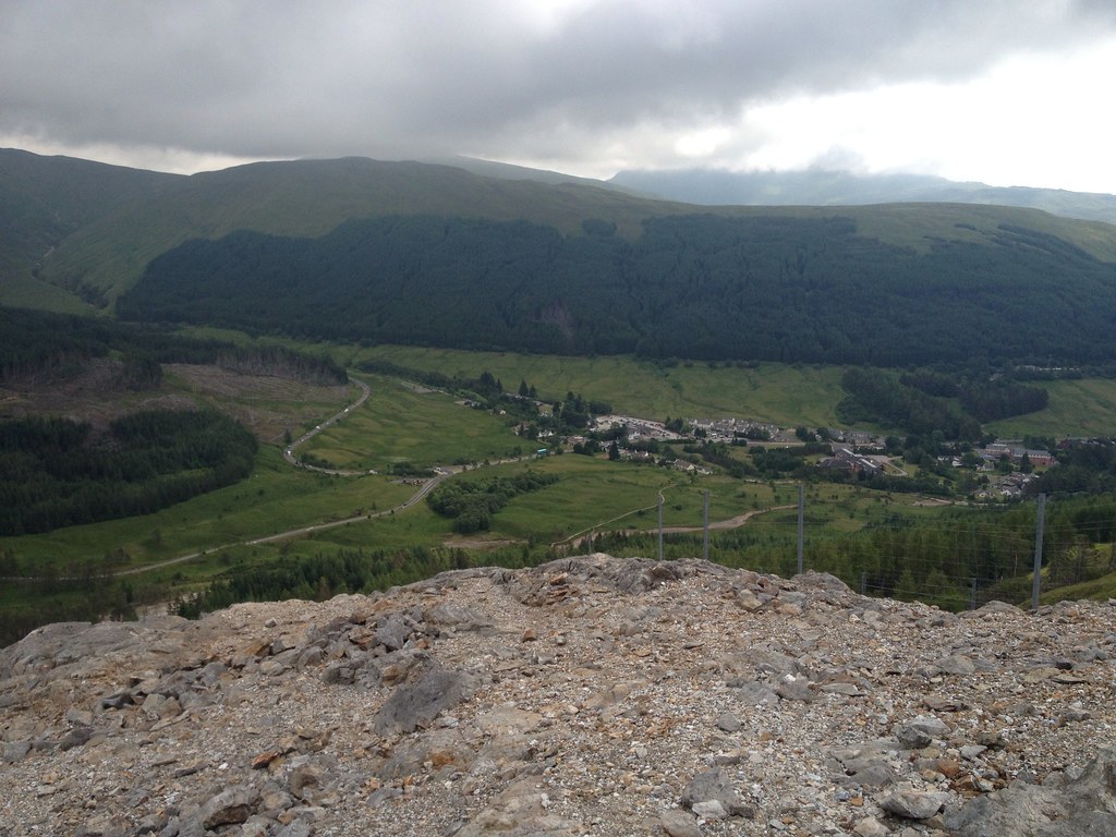
The village and its surrounding mountains looked a lot brighter than six hours earlier.

 T_1070126_10153043213310014_632384498_o
 by
Craiging619, on Flickr
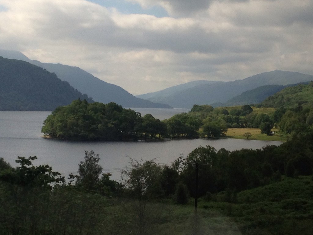
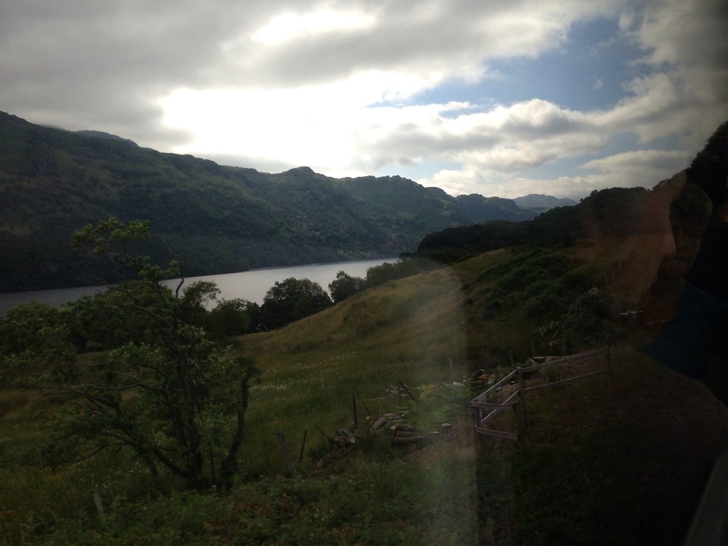
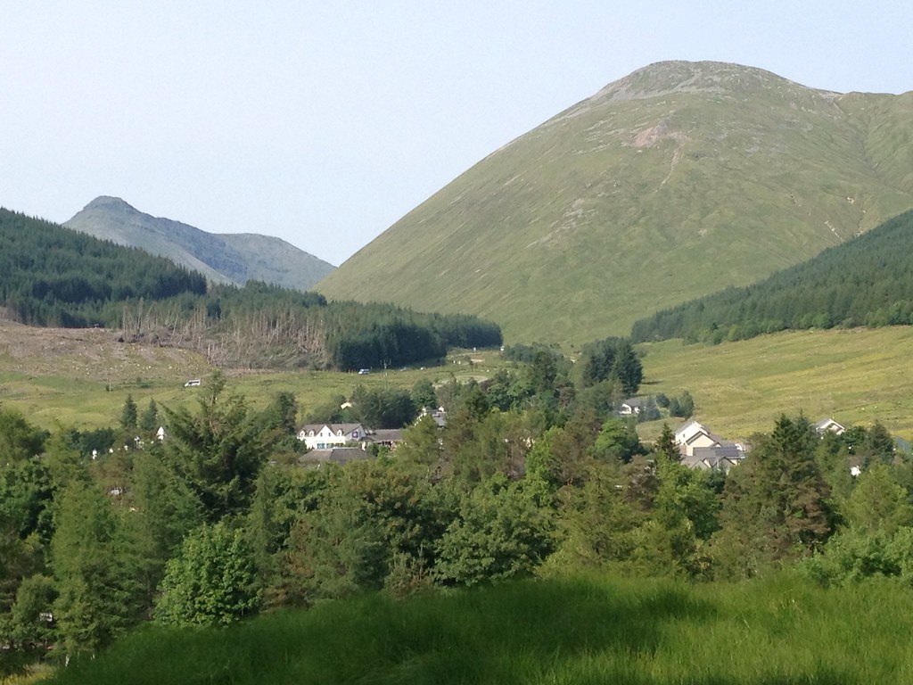
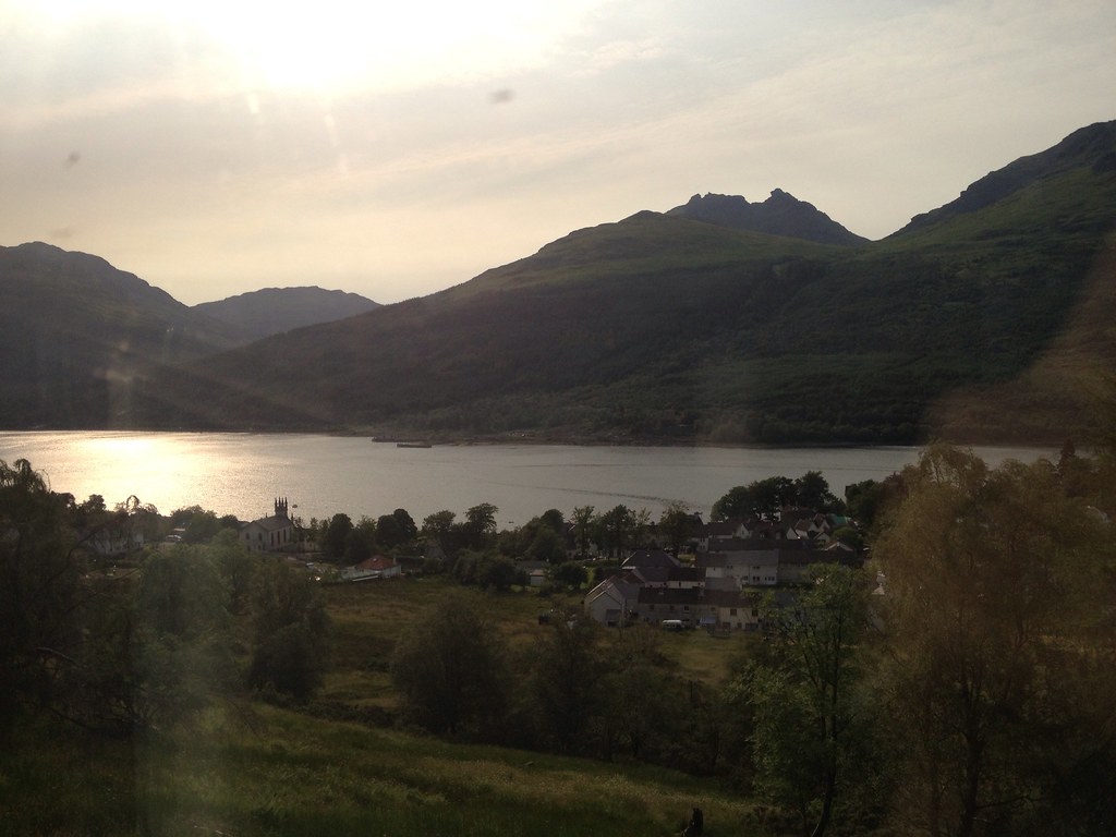
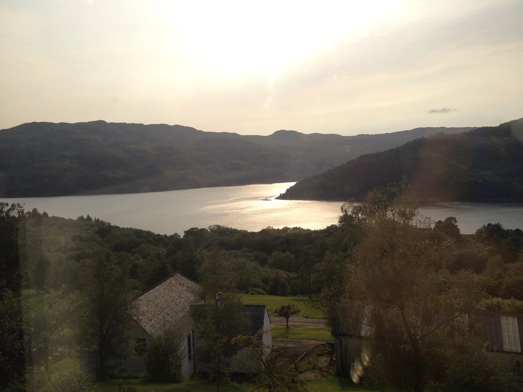
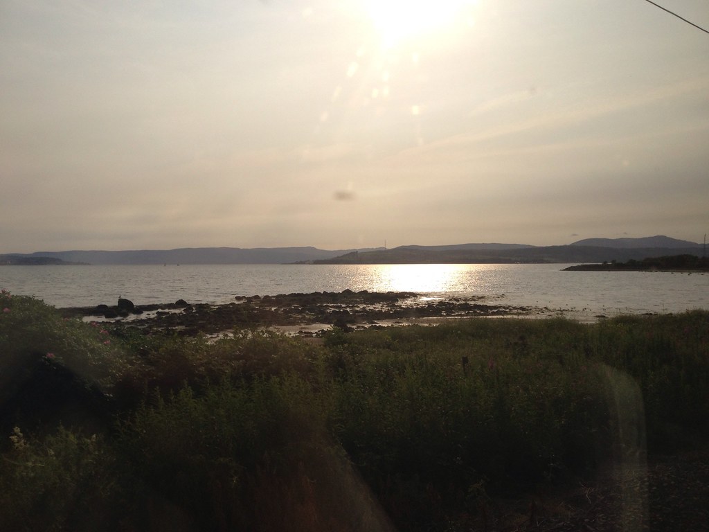
After a trip to the Green Welly Stop and extremely welcome glass of Coke (complete with free complimentary refill), it was time for the journey home. The Cobbler and Loch Long looked amazing in the evening sunlight.
 T_1066152_10153043208390014_68634179_o
 by
Craiging619, on Flickr
 T_1066411_10153043203715014_1830442655_o
 by
Craiging619, on Flickr
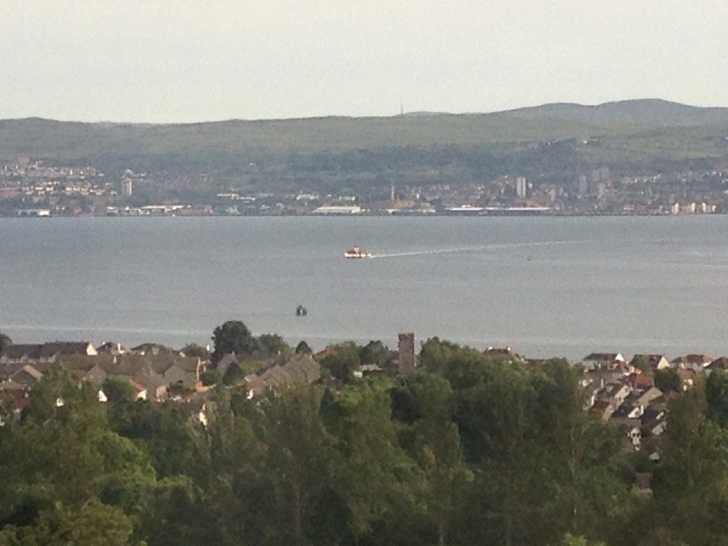
#WaverleyKlaxon

 T_1070806_10153043192970014_1961490429_o
 by
Craiging619, on Flickr
The end of another great Scottish day of combining hillwalking with sunbathing. I could well get used to this, if every summer was half this good for weather!

