free to be able to rate and comment on reports (as well as access 1:25000 mapping).
Just arrived in the Lakes for our annual October week, with the weather forecast sounding far
from promising. It sounded like the best few hours of the entire week would be the first few hours
of our first day, so we dragged the kids out of bed as early as we could manage, and up the nearest
fell.
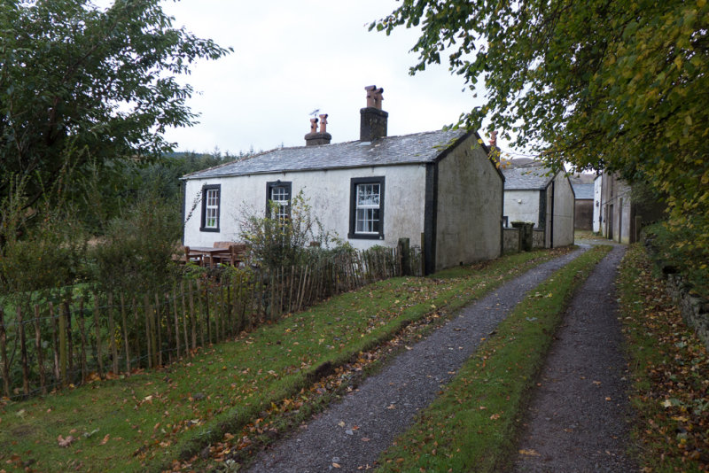
Darling How Cottage
We set off from the cottage we are staying at (Darling How), near the Spout Force car park at the western
end of Whinlatter pass, aiming for Lord's Seat.
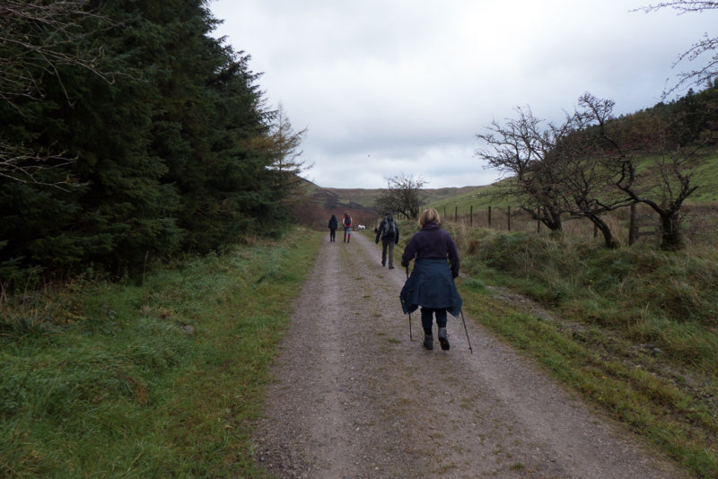
Setting off up the forest road
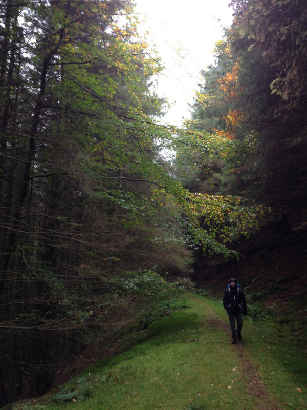
The route to Lord's Seat is almost entirely on forest roads, making for easy gradients and good underfoot - given the amount of rain we have had lately it seemed like a good idea to avoid anything too muddy
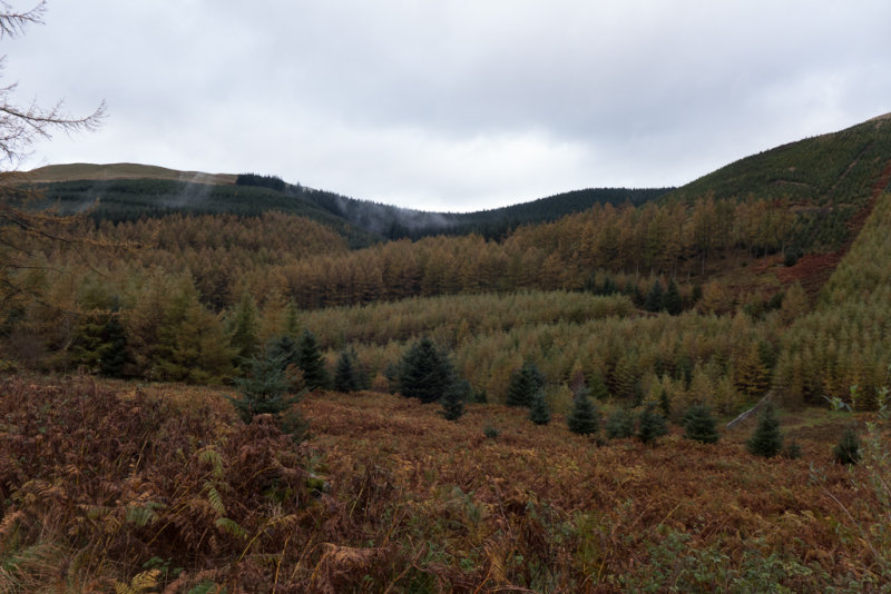
Mist over the forest
A few wisps of low cloud were blowing across the forest, but the weather was generally looking pretty good, with the tops (at least the ones we were interested in) out of the clouds, and no rain.
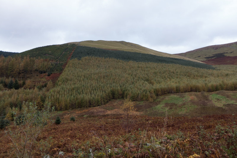
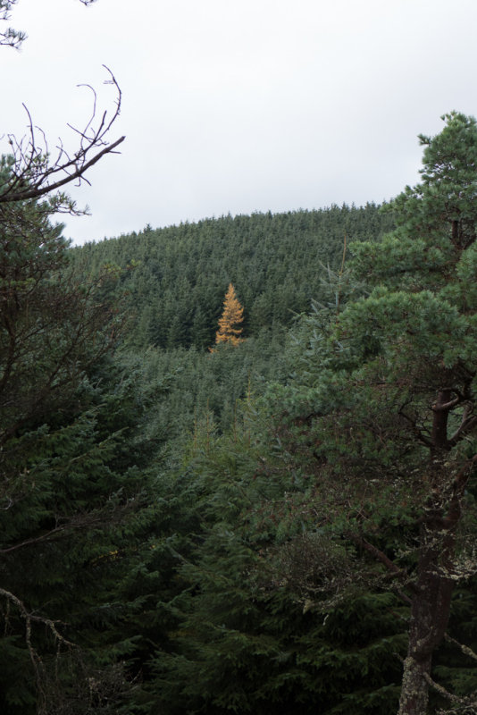
Forestry by numbers
According to the map, the road would be mostly through forests (which we thought might offer some shelter from the heavy rain forecast to start at 3pm), but in fact many of the trees had been cleared on one side of the road or the other, so we were usually walking beside forests rather than through them.
The forests looked like they had been planted according to a "Painting by numbers" board.
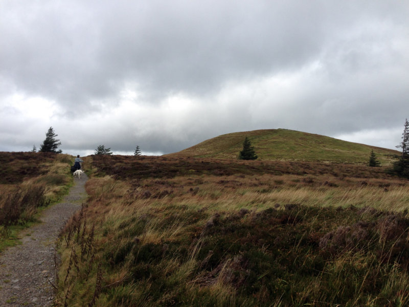
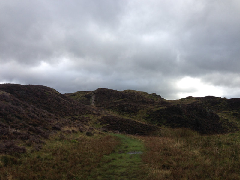
The outsider
After a few kilometers on the forest road, there was a path leading off up towards Lord's Seat - but this was one that Wainwright warns off as being very muddy, so we continued round towards his route 'B'.
However a second path leading off to the left seemed more promising, and cut off a large loop of the forest road towards Ullister Hill.
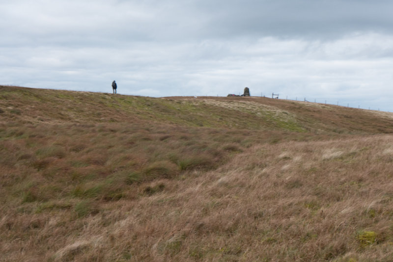
Approaching Lord's Seat summit
After Ullister Hill, the path was narrower, but still very easy gradients and good underfoot.
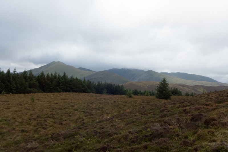
View from Lord's Seat
The top of Lord's Seat had some good views, but also some very high winds, so we did not linger long, but instead headed off towards Barf.
View from Lord's Seat
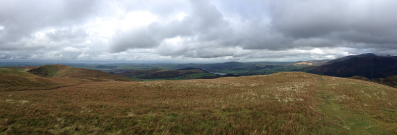
Panorama from Lord's Seat

Lord's Seat summit
A very easy short stroll later, we approached the top of Barf.
Approaching Barf summit
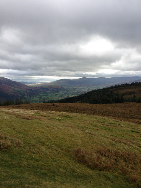
Barf is a pretty low fell, but has some nice views
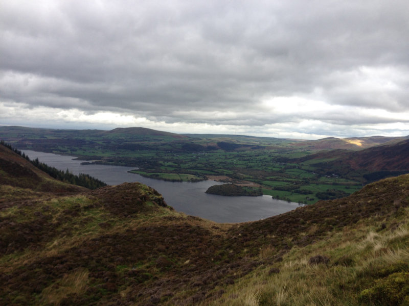
Bassenthwaite from Barf
View from Barf
Disaster almost struck as we left Barf, when Sarah realized she didn't have her phone any more - I've never seen her sprint up a mountain so quickly as when she raced back to the spot we had had our last chocolate break, before returning gleefully clutching the runaway phone.
We contoured around Lord's Seat towards the Broom Fell path - this was a mistake, as what had started out as a good path quickly disappeared and left us traipsing unpleasantly through heather with ankle-twisting angles underfoot. Going back over the top of Lord's Seat would have been better, I think.

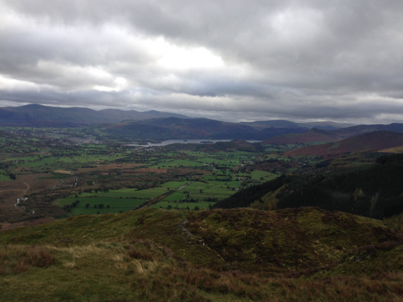
Darling How from Broom Fell ridge
From the ridge to Broom Fell, we were looking for possible ways down, mindful of the weather forecast that had confidently predicted that heavy rain would start at 3pm. But we were making good time - nearly at Broom Fell and still hadn't stopped for lunch.
Approaching Broom Fell summit
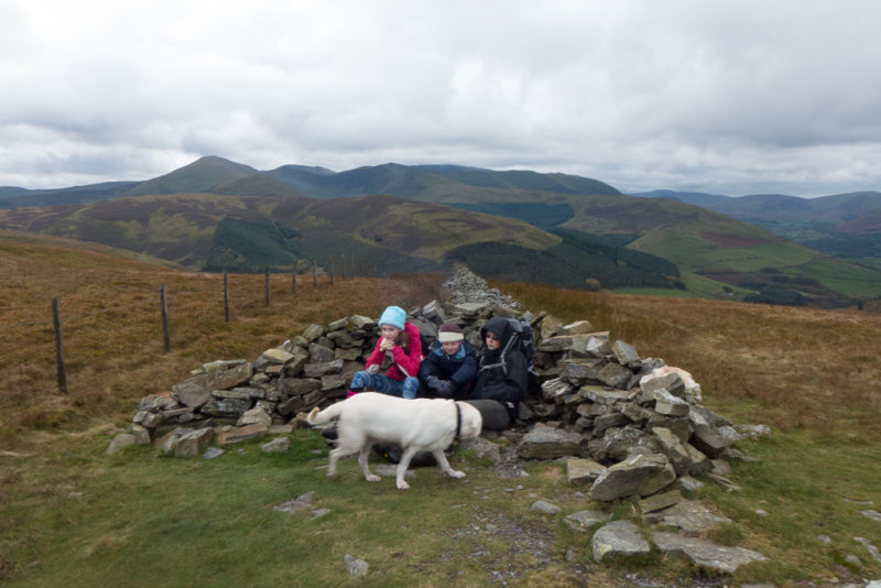
Broom Fell Summit
At the summit of Broom Fell there is a small wind shelter, but not large enough for all of us, so plans to lunch there had to be postponed. We debated taking the path following the fence down to the valley from here, but decided that the route back down over Greystones was probably just as easy.
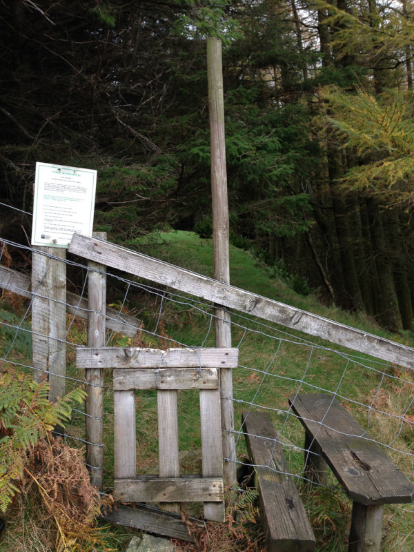
Just after Widow's Hause we encountered this rather interesting stile, which the builders of the new fence had thoughtfully provided, but which was blocked on three sides by the old fence that stlll had to be negotiated before it could be reached.
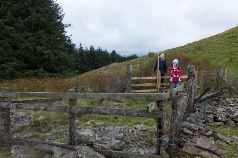
The fenced-off stile
The summit of Greystones is fairly nondescript
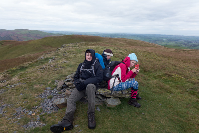
Greystones summit
The path down from Greystones following the wall was steep, though not quite as precipitous as it looks in this picture (the scale is deceiving)

On the way down Greystones
Once we reached the old forest road we turned left into the forests of Darling How plantation.
Into Darling How plantation
Darling How plantation
The occasional beech tree in among the conifers added some autumm colour

Darling How plantation
The forest road takes a fairly circuitous route back to the main road, but a path off to the right looked like it would cut off a large corner. Just a nagging doubt about how we would cross the stream...
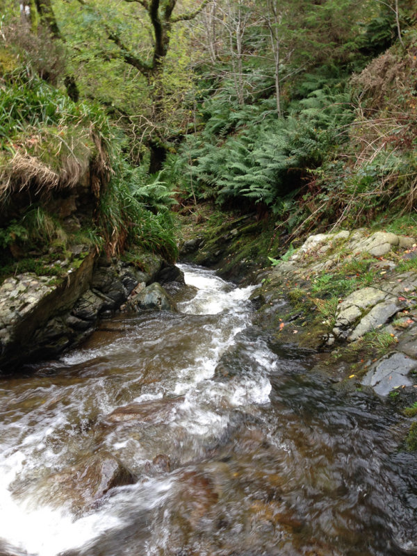
The top of Spout Force
Which turned into a major concern once we got to the stream, and found that we could not follow any further downstream to the bridge, nor was there any easy way to cross.

Crossing the stream
But we were only a few hundred yards from home, so wet boots seemed like a minor hardship compared to retracing our steps. The water was not particularly cold.
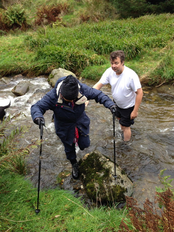
Crossing the stream
All in all, a very satisfying day's walking, and we got back before the rain. Gradient were gentle throughout, and the tracks were almost all very easy underfoot.
