free to be able to rate and comment on reports (as well as access 1:25000 mapping).
Grahams: Binnein Shios, Binnein Shuas.
Date: 24/11/2013.
Distance: 67km (cycling), 11km (walking).
Ascent: 250m (cycling) 730m (walking).
Time taken: 7 hours 25 minutes.
Weather: Drifting cloud with strong sun later. Cool and calm.
Sunday plans became more ambitious as the weather forecast improved. Originally I was just going to go somewhere close to home for an hour or two of fresh air. Soon I had a number of options on the table, and narrowed it down to A and B, depending whether I could get my bike on the train at no notice. Easly starts using public transport are thin on the ground on a sunday, so I was quite pleased to find that a relatively long day out would just about be possible.
Scotrail are a little awkward when it comes to taking bikes on the train without booking in advance, but East Coast are even more petty. The ticket guy told me that I had to pre-book 'for insurance purposes', before relenting and letting me on (no-one else had bikes with them so there was room). A slight compromise was that I had to get off at Kingussie rather than Newtonmore as the platform was not long enough there to get in the guard van. Not a big deal really - probably added 10 minutes max to the approach. Plan A was on! Plan B would have involved a tramp over A' Chailleach and Carn Sgulain with a descent via Creag Bheag to Kingussie.
The weather was promising on the cycle down to Ardverikie Castle, with Creag Liath in particular basking in the sun. Further west, the cloud was thicker, but the law of averages suggested that I'd get sunny spells there too. Although the approach cycle was long, it was virtually flat until the final mile up to Lochan na h-Earba.
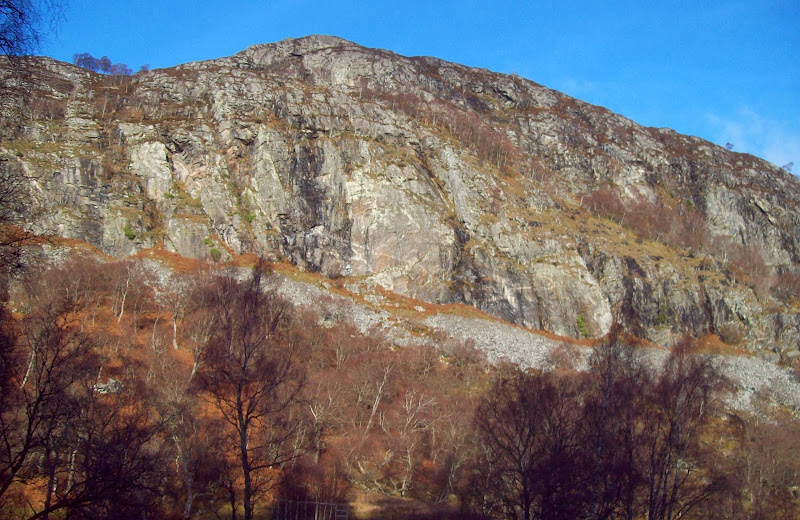
Creag Dubh en route:
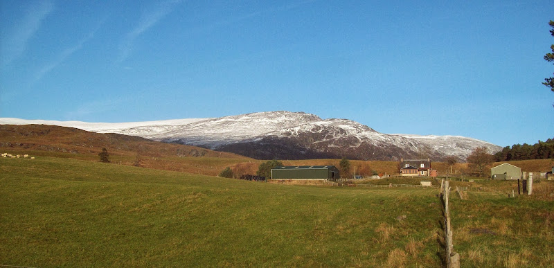
Hillside above Laggan:
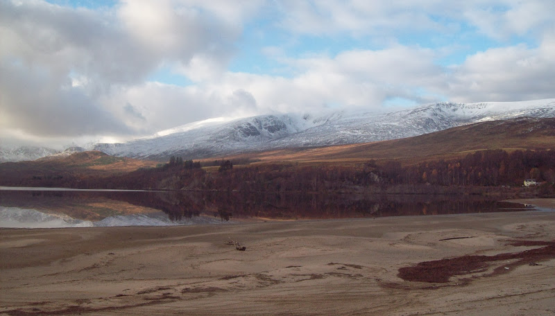
I'd never strayed from the main road at this end of Loch Laggan, and I was pleased to find that the private road to Ardverikie Castle was tarmaced the whole way. In fact the surface was even better than the trunk road I'd just left! I left the bike briefly to take in the view across the beach and down the loch.
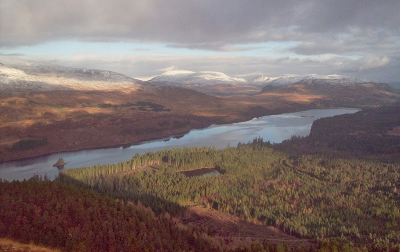
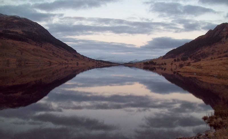
East end of Loch Laggan:
I followed the drive until a crossroads, where the main entrance to Ardverikie Castle was on the right. Taking the left turn here led me to the track up to Lochan na h-Earba, which was steep to begin, but soon levelled out. The surface was fairly reasonable, and I was locking the bike up at a deer gate near the loch at about 12:15.
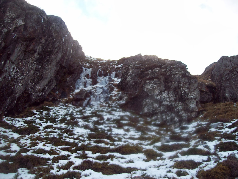
I did take quite a few photos early on, but they didn't really stand up against those from later in the day, so the first bit of the walk is a bit sparsely illustrated. I followed the track around the north side of Lochan na h-Earba to the start of the loch, before striking off right over tussocky ground towards the craggy NE nose of Binnein Shios. The vegetation relented once I entered the trees, but the ground underfoot was bouldery with care needed not to disappear into any holes.
Once out of the trees, a couple of easy scrambling moves were needed to get onto the heathery summit ridge. Binnein Shuas was blocking the views west, but I could hardly complain. A scenic lunch followed

. the stroll down the ridge towards Binnein Shuas was great too.
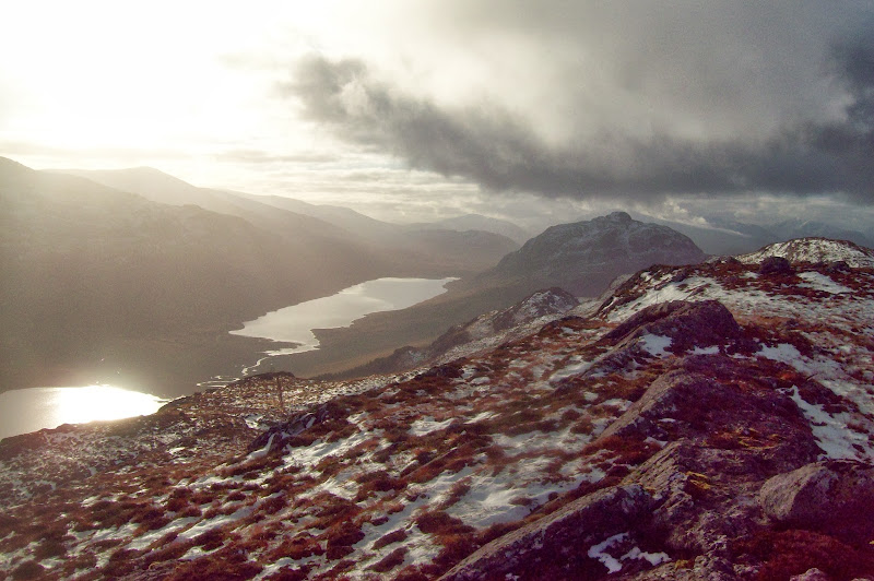
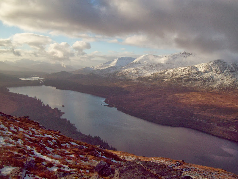
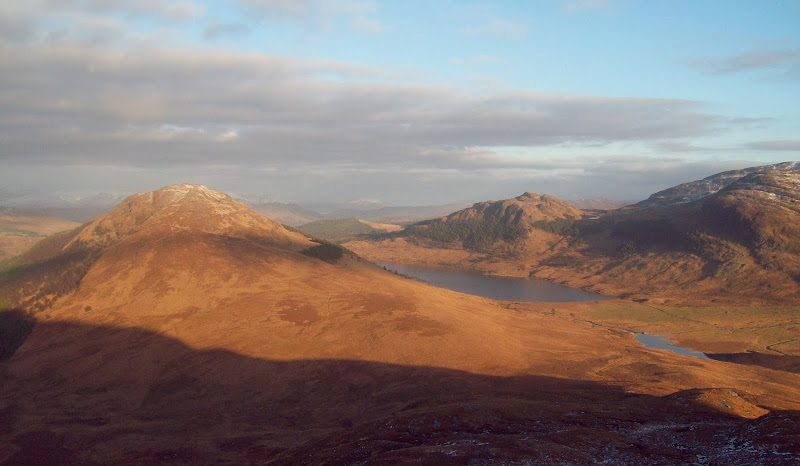
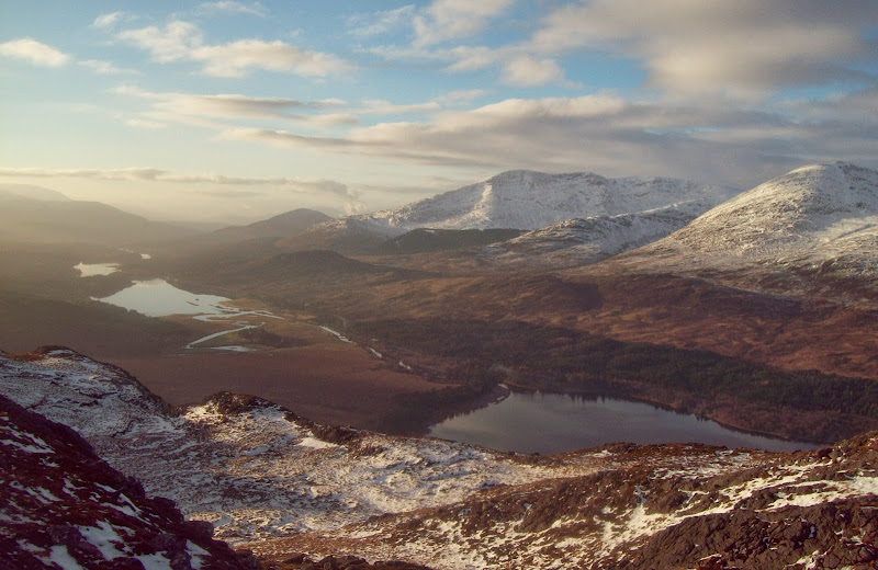
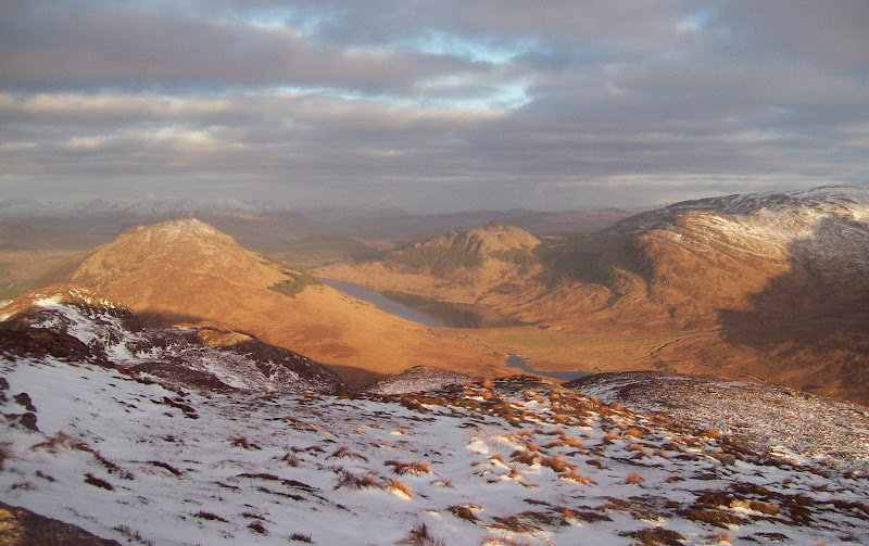
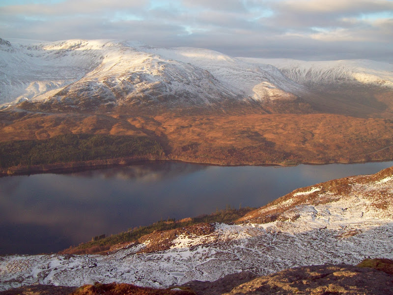
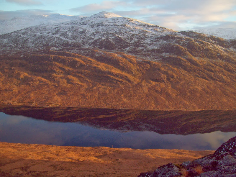
Loch Laggan and Geal Charn from Binnein Shios:
Lochan na h-Earba and Binnein Shuas:
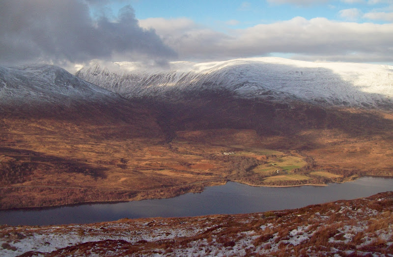
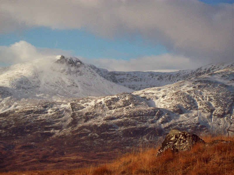
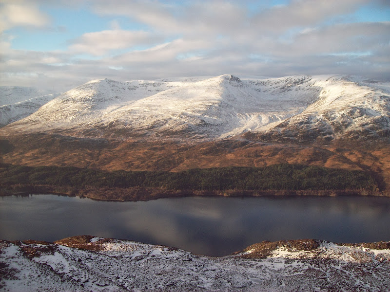
Carn Liath:
Coire Ardair:
West to Beinn a Chaorainn:
Meall Choire Choille-rais:
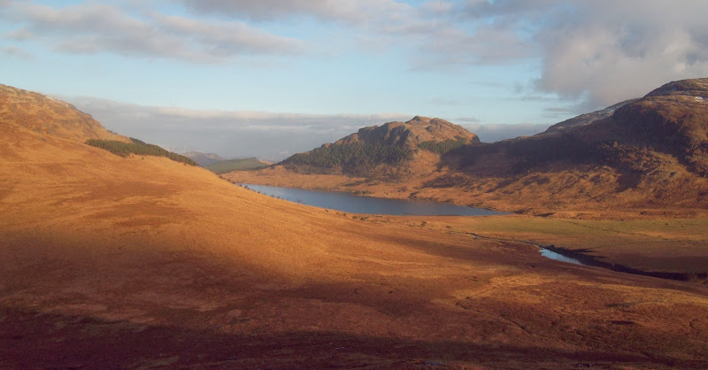
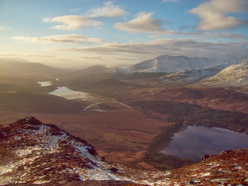
Loch na h-Earba and Creag a Chuir:
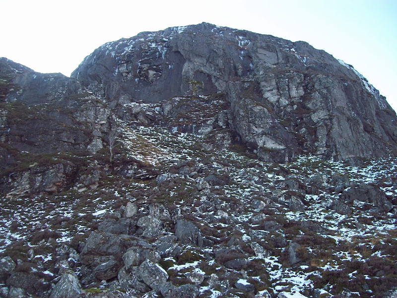
While both hills are similar to some extent, Binnein Shuas is craggier, more complex and about 80m higher. After making the initial ascent across tussocks, I scanned the crags ahead for a route through. The best way appeared to be a steep rake on the right.
Approaching the craggy section of Binnein Shuas:
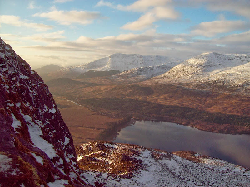
Binnein Shios:
The going was over ankletrapping boulders again, this time with snow to disguise the holes, but it got me up high fast. Trying to avoid the deepest patches of snow, I ended up traversing over lots of other bumps before reaching the main summit. Good fun but quite slow.
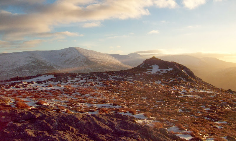
Summit ridge of Binnein Shuas:
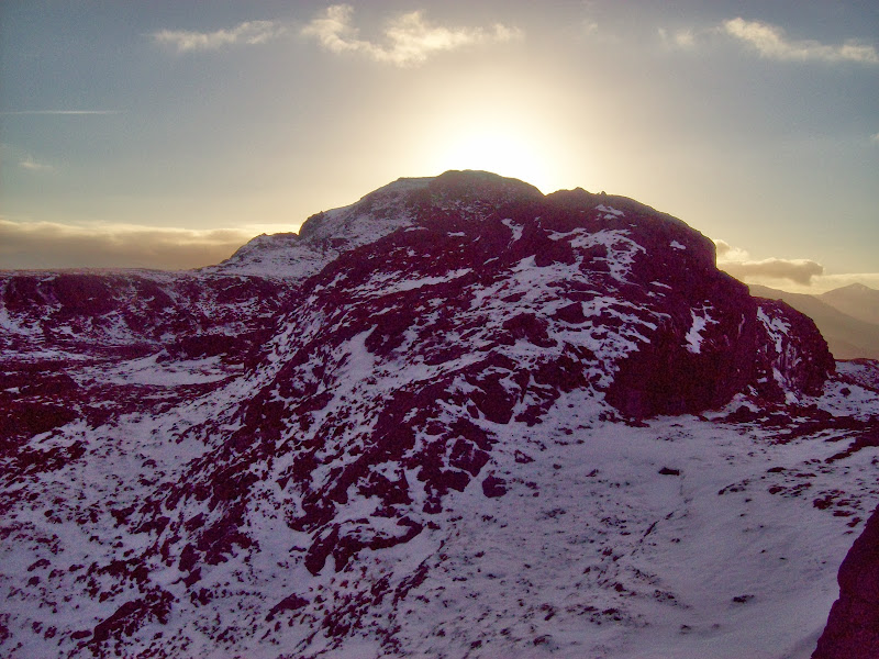
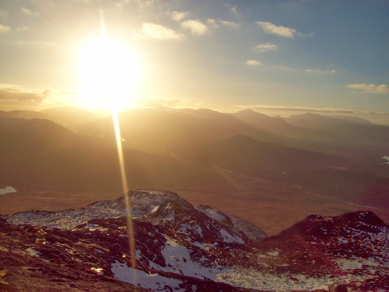
As expected, the view from here was even better than from Binnein Shios. Most of the surrounding summits had cleared too, making this one of the highlights of the day. If I had done this with more daylight available, I would have included Creag Pitridh in the loop - it looked like a proper mountain from this direction. On second thoughts, it was a hard enough day without.
Towards the Grey Corries:
Beinn a Chaorainn and Moy Reservoir:
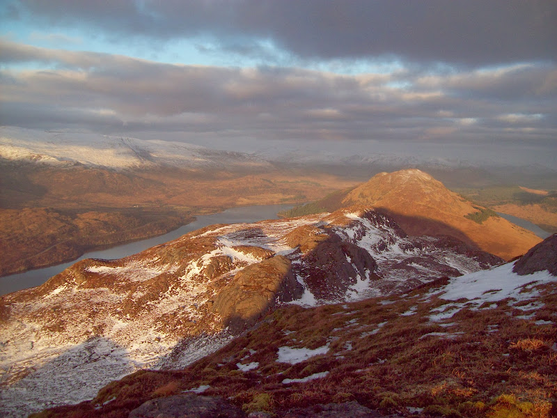
Back to Binnein Shios:
Across the west end of Loch Laggan:
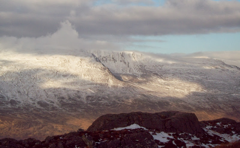
West end of Creag Meagaidh:
Lochan na h-Earba and Binnein Shios again:
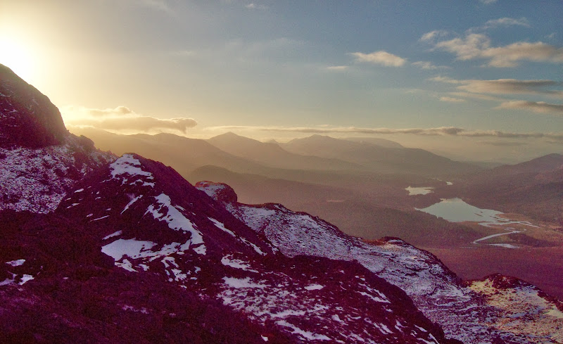
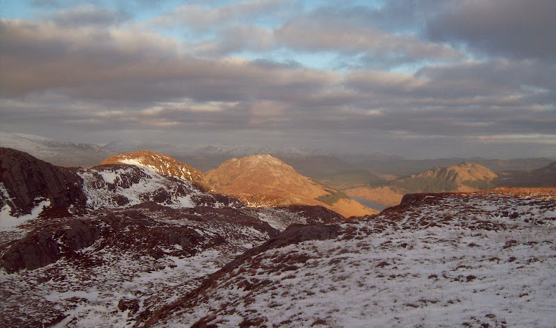
West from Binnein Shuas:
East from Binnein Shuas:
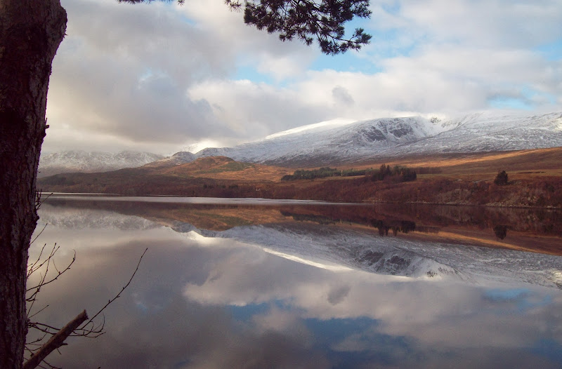
Loch Laggan:
Summit with Beinn a’ Chlachair behind:
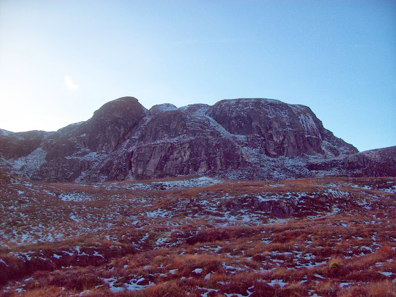
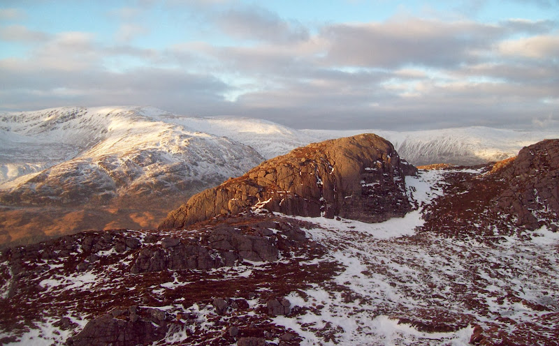
Meagaidh and summit crags:
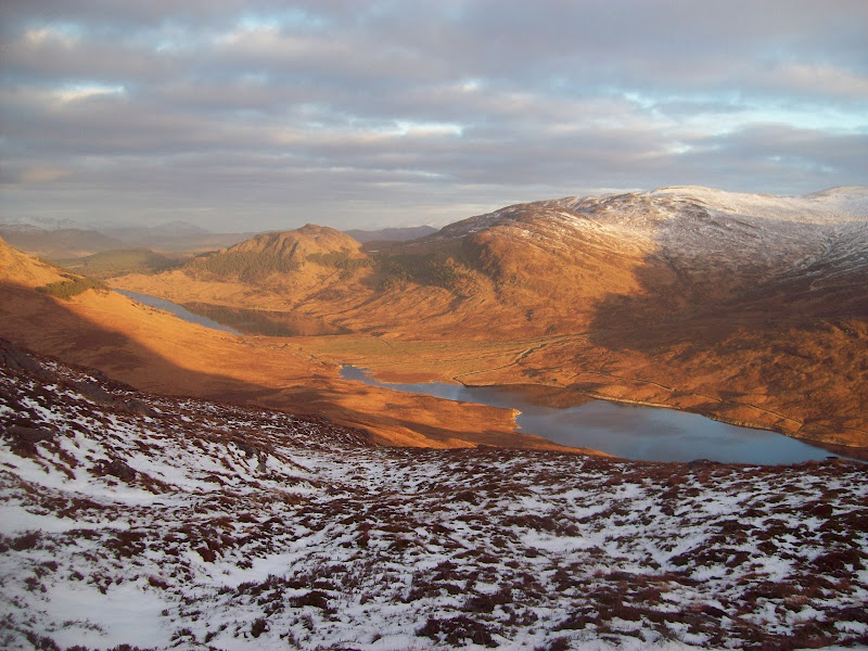
Lochan na h-Earba in full:
Creag Pitridh:
I aimed a little further south on the way down. Probably should have retraced my steps to avoid having to hunt for a new way through the crags instead. It took a few abortive efforts to find a route through. I carried on down to the short river between the two lochs, where t here was a weir. This allowed me to cross the river and gain the main vehicle track through the glen.
Looking back at descent route (on the right):
With the light fading, the stroll back along the lochside was a second highlight of the day. There is definitely a case for the East Highland way (which comes through here) being a more interesting multi-day walk than its more established western partner.
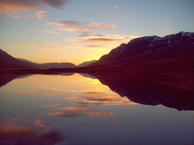
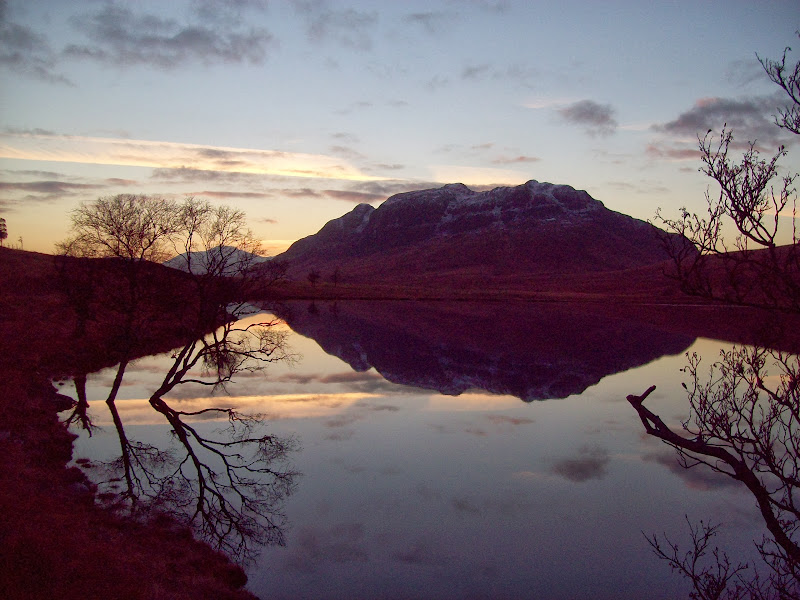
Sunset over Loch na h-Earba:
Chno Dearg:
East along Loch na h-Earba:
Binnein Shuas:
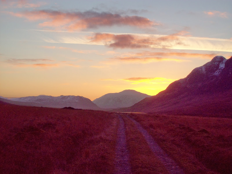
Back on the bike for an easy descent to Ardverikie Castle, and onwards to Kingussie. There was a final set of impressive reflections down Loch Laggan, then a quiet and starry ride beyond. Cold feet and a lack of energy were problems in places, but it was a nice ride regardless. I got back to Kingussie with 15 minutes to spare.
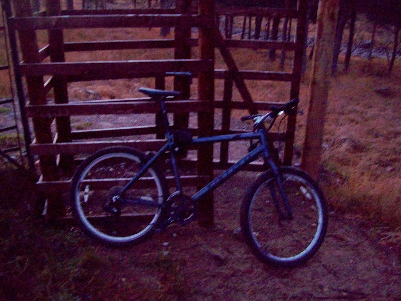
Trusty(ish) steed:
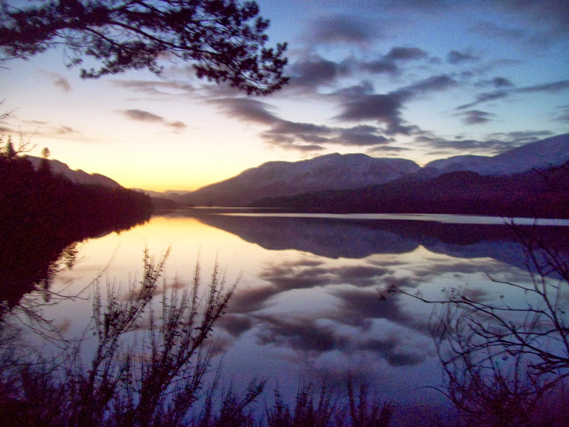
Last look down Loch Laggan:
Pretty sure I'll be passing through this area again before long.
