free to be able to rate and comment on reports (as well as access 1:25000 mapping).
Date: 4/1/14
Hills: Meall na Leitreach
Present: Ritchie and myself
Weather: Overcast start but steadily brightening up and wind easing. Sleat as we got back to car.
Distance: 5.54mls
Ascent: 1446ft approx.
Walking: 2hrs 51min. Loafing: 2hrs 18mins Total 5hrs 10mins Another small break in this awful weather presented an opportunity to get the years walking kicked off. Having enjoyed the last trip to The Sow of Atholl I was keen to get back up for Meall na Leitreach and seeing as the forecast was only a 10% chance of cloud free munros this was a perfect lower hill to head too.
I picked Ritchie up in Barrhead at 6.30am and a steady drive up saw us arrive at Dalnaspidal around 9am.
Ready for the off. Handy digger to remind me I am back at work on the Monday.

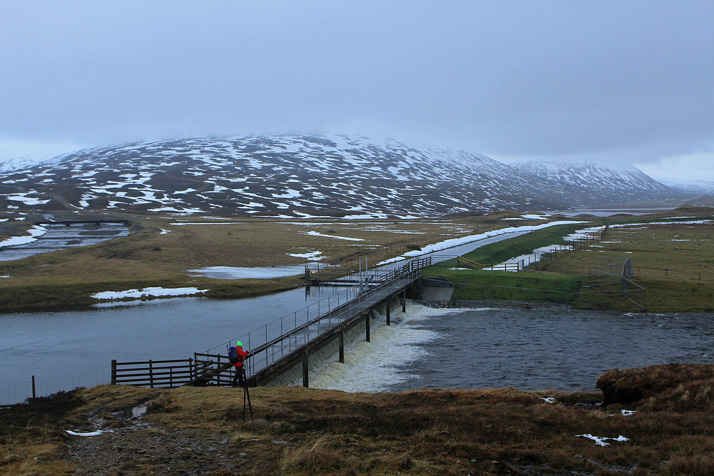
Across the crossing just in time.

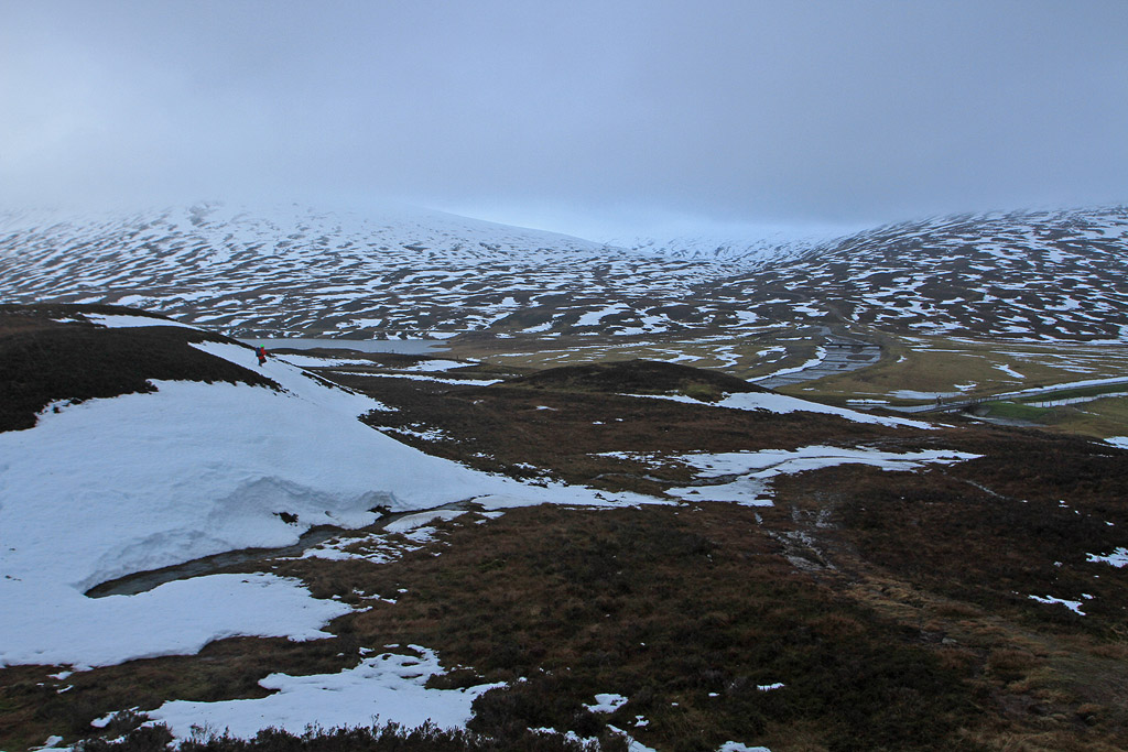
A bit less snow at this level than 6 days ago.
The Sow of Atholl.
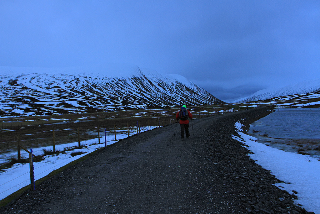
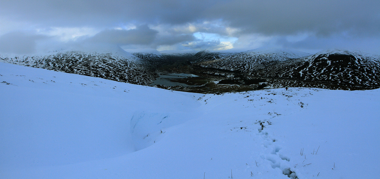
Crossing over the bridges at NN643725.

Once over the river go left a short distance to pick up the atv track if you are doing this in the summer. In winter it doesn’t really matter, just head for the gate you can see at approx NN645723. It was pretty wet underfoot this morning and tough going across the patches of snow.
Heading for the gate.
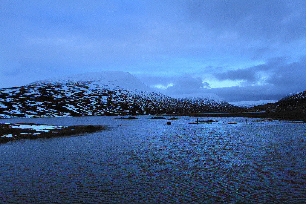
Looking back down to Dalnaspidal.
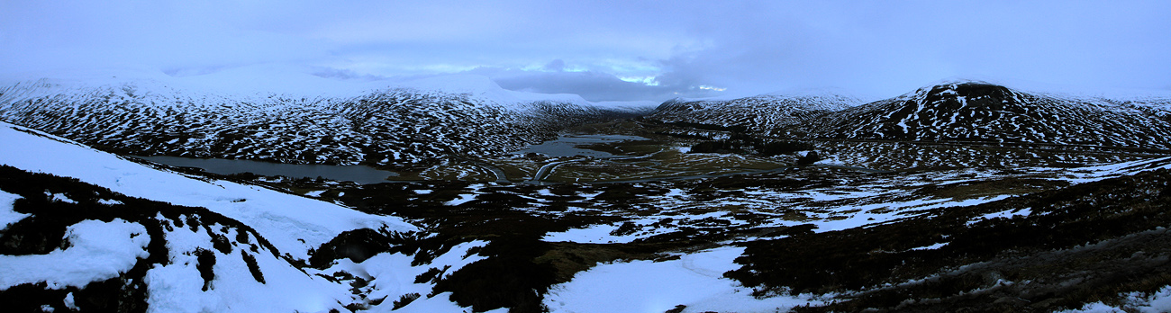
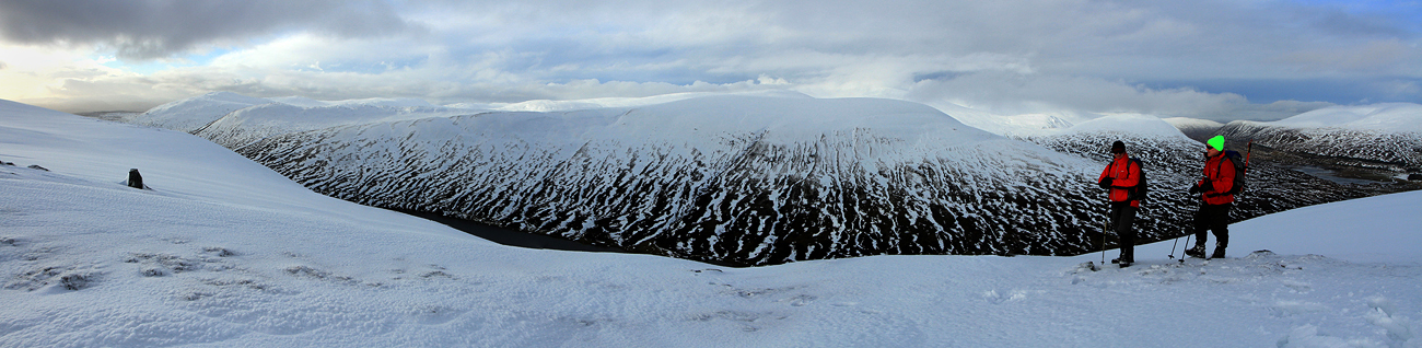
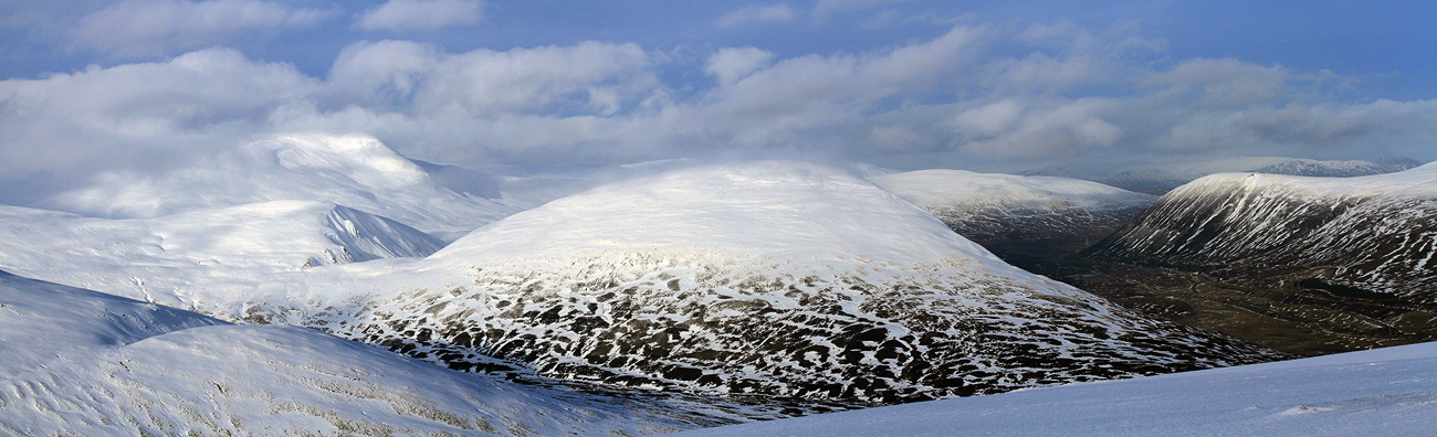
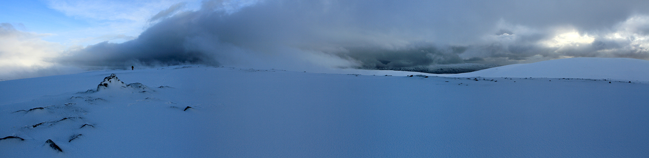
Panoramic view back.
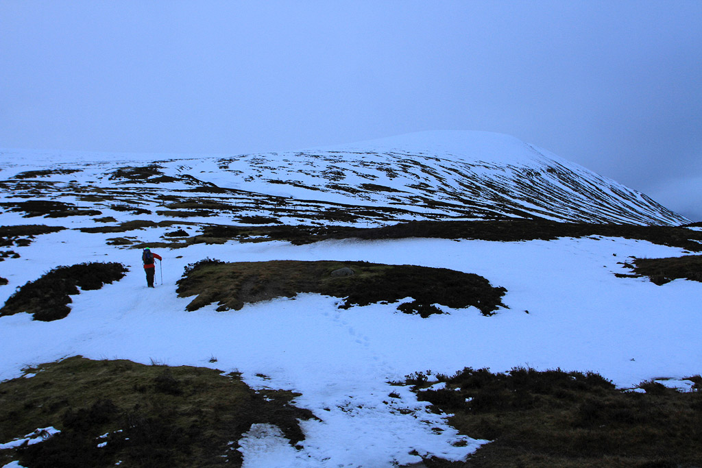
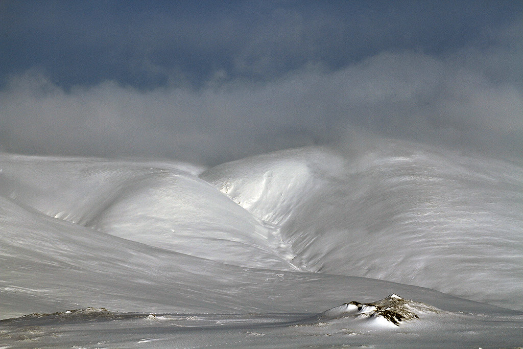
Into the deep snow now.
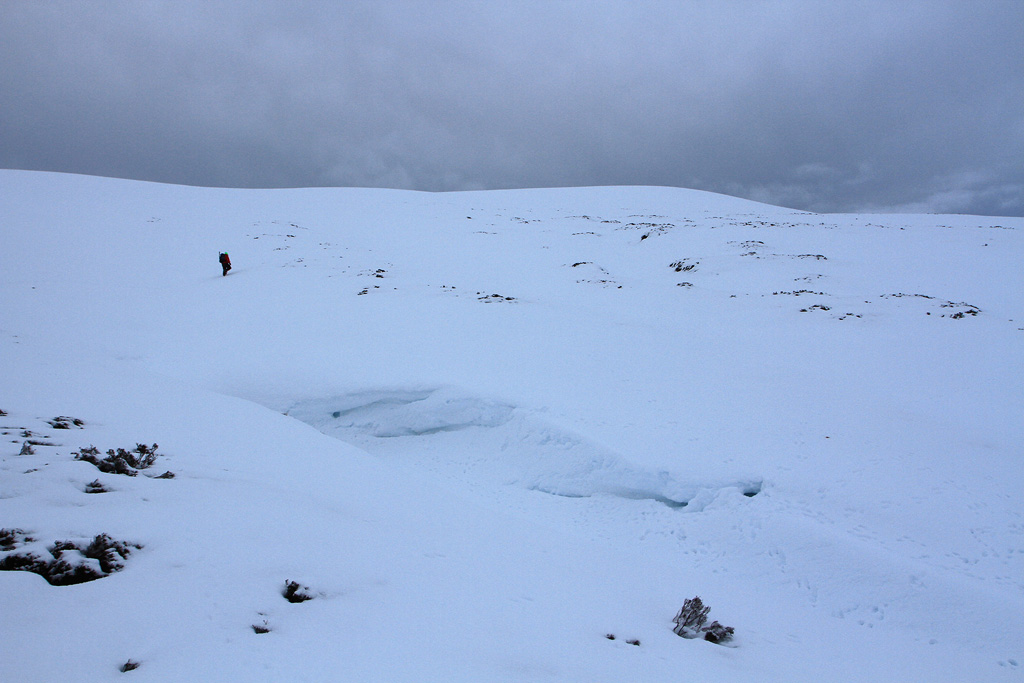
And it was flippin really deep in places. Both of us were up to our thighs several times which was a laugh trying to extricate yourself and get going again.
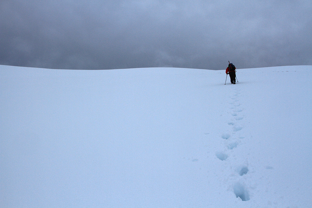
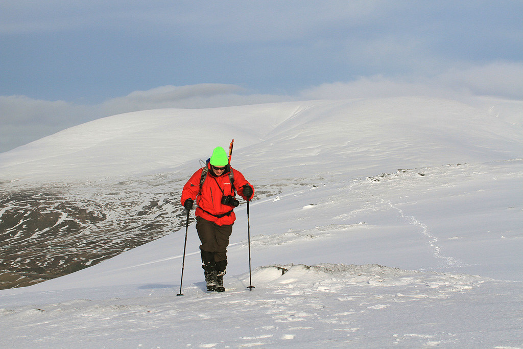
Ritchie breaking trail.
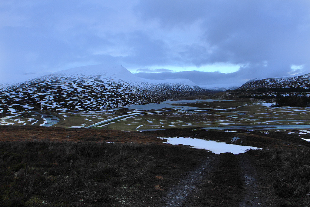
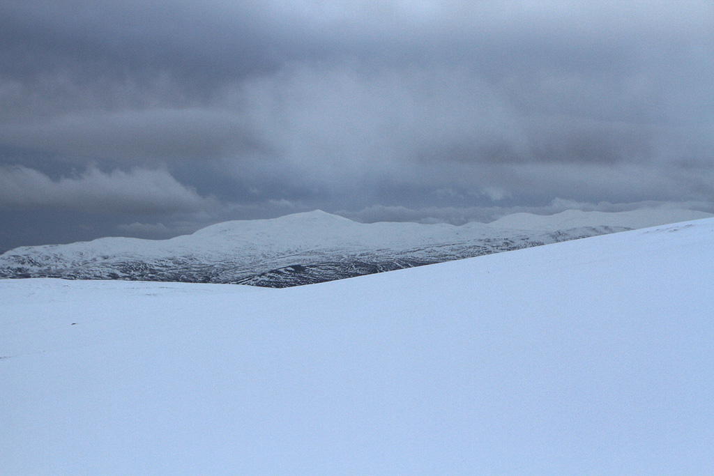
I think this is Farragon Hill.
Thankfully the higher we got the snowpack got firmer and we were not going in more than a few inches.
First high point at pt748.
Ritchie taking in the view across Loch Gary.
On towards the summit.
We reached the summit around 11.45am. Just before we reached the summit we spotted somebody behind on skis. He disappeared out of sight heading for the steep western side of the hill. Never saw him again! Maybe somebody from the SAIS or an extreme skier. Ritchie got his stove out and set about getting a brew on while I got a few photos in the steadily improving weather. After a break and with plenty of time in hand we went on to explore some of the hillside to the s/w.
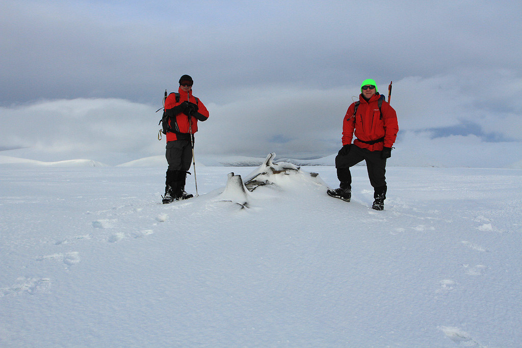
Summit posing

.
Towards Farragon Hill I think.
Off to explore.
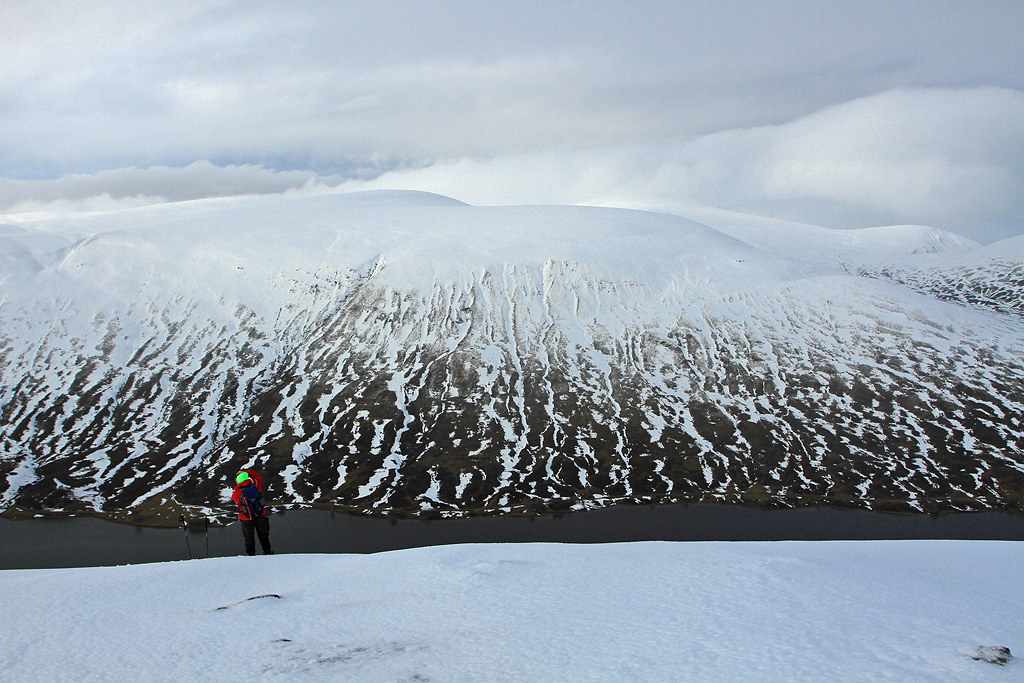
Across Loch Garry to Meallan Buidhe.
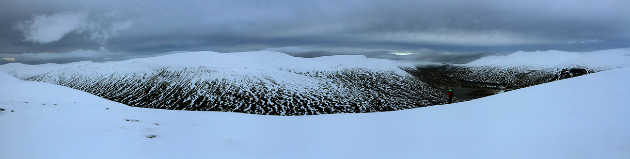
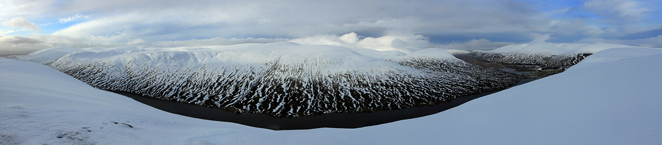
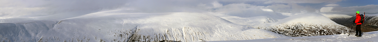
The panoramic views to The Drumochter Hills was pretty good by now.
The sun lights up The Sow of Atholl.

Zoom to Farragon Hill.
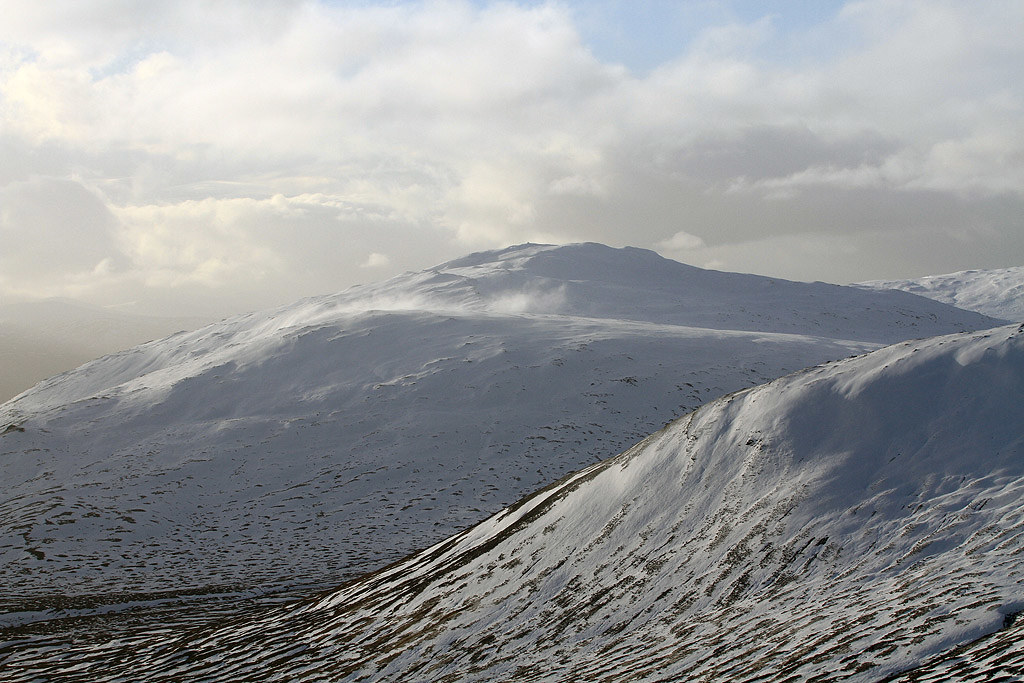
Ritchie with A’ Bhuidheanach Bheag behind.
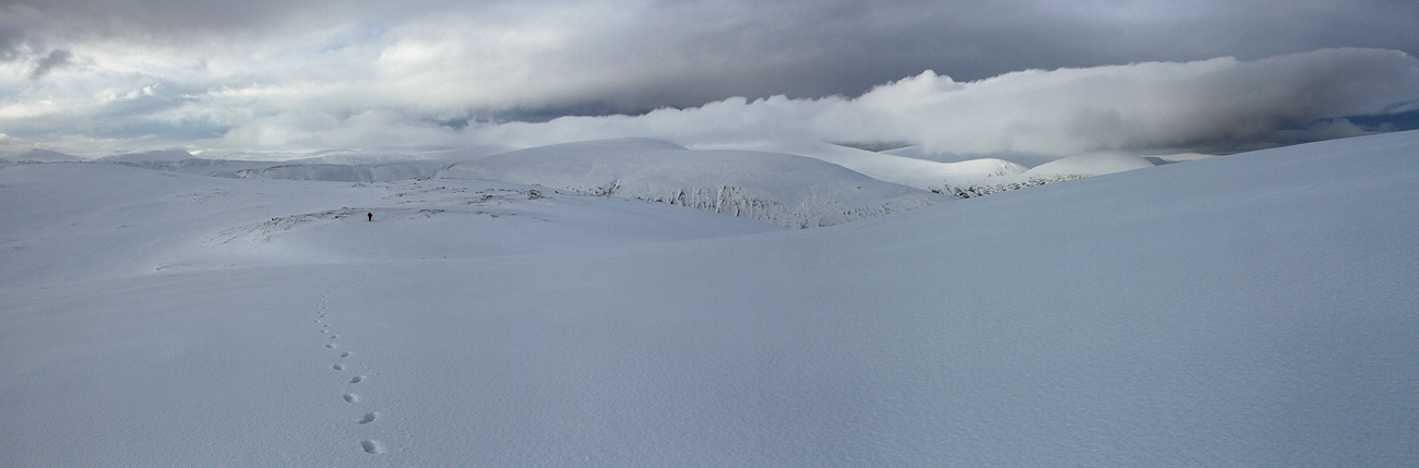
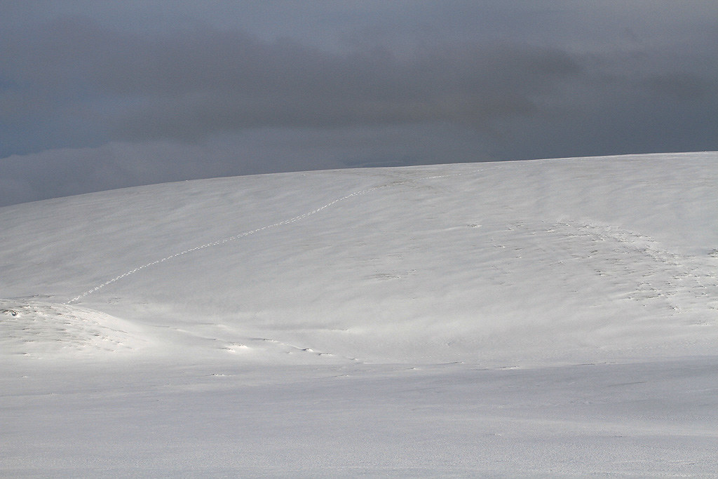
Our exploration footprints.
A’ Mharconaich.
Beinn Mholach.
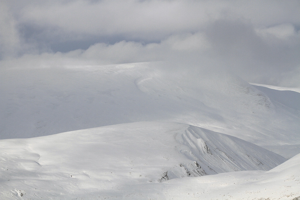
A’ Mharconaich & The Sow of Atholl.
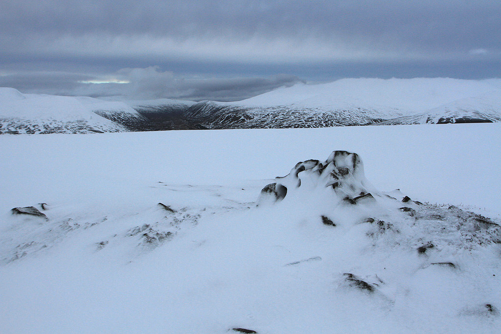
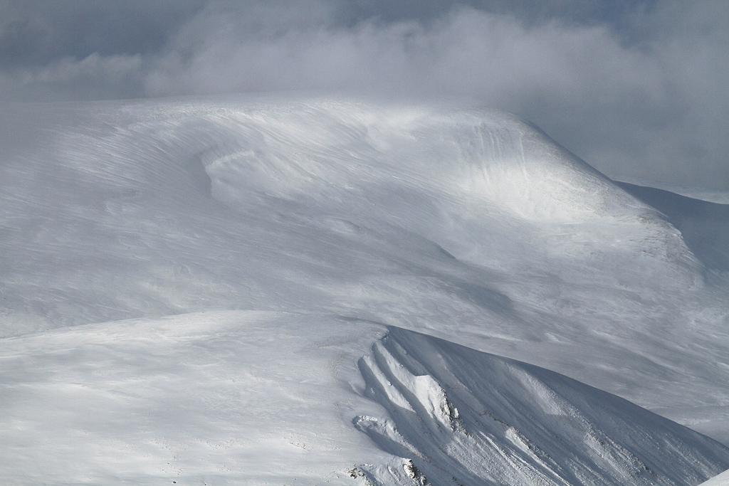
Coire Mhic-sith & Glas Mheall Beag.
A final panoramic as we start to head back.

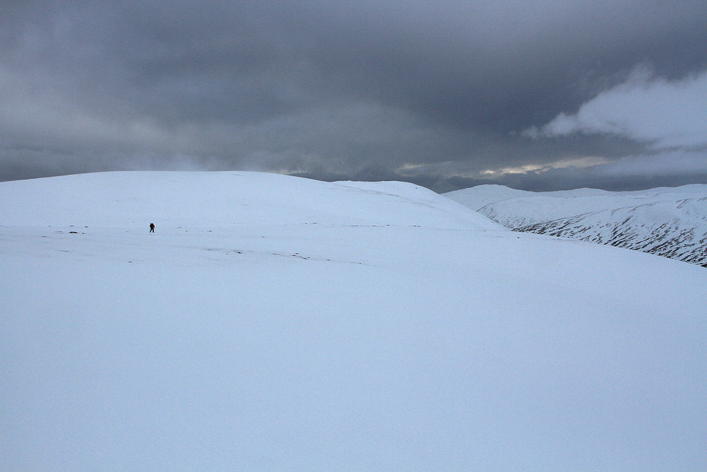
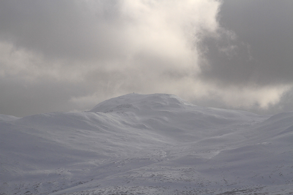
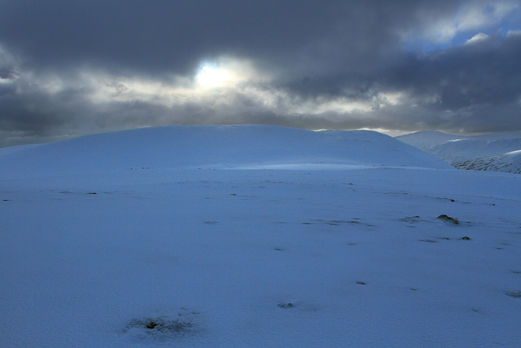
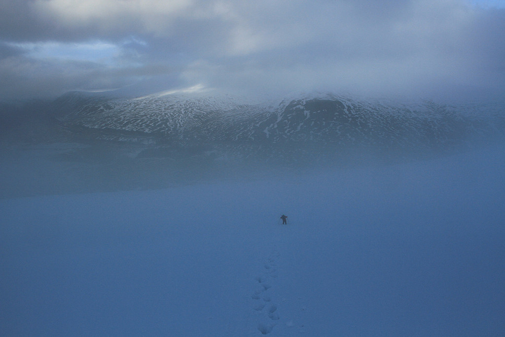
Looking back to the summit and a change in the weather.
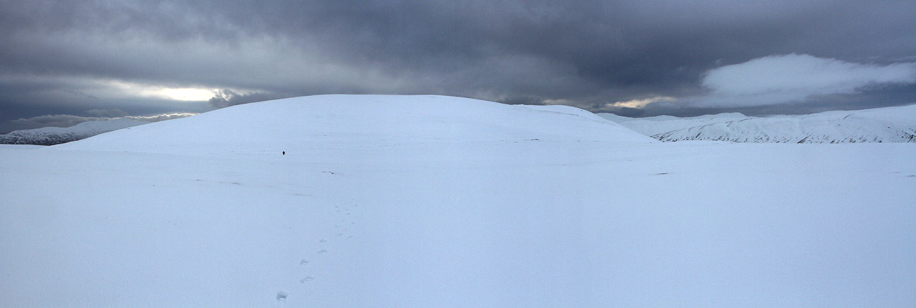
Leaving pt748.
The mist rolls in.

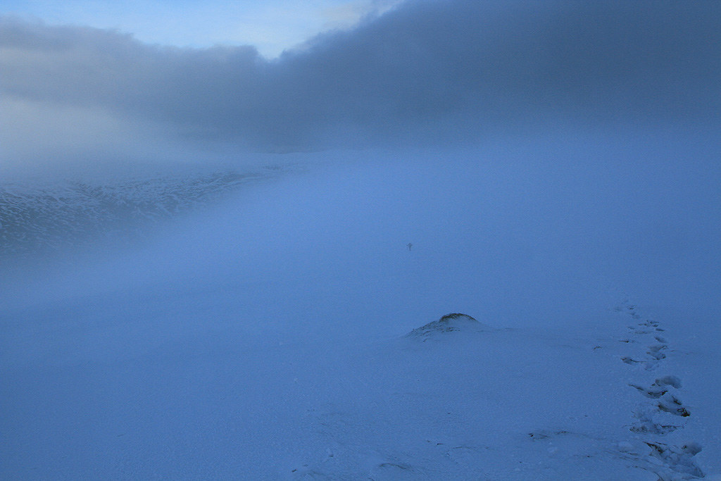
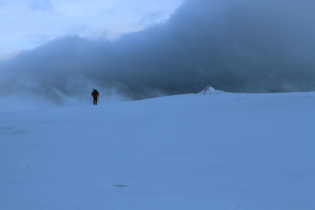
Some light rain started falling as we made our way down.
Looks like we got the best of the views from Meall na Leitreach.
Short video from the day:
By the time we crossed over the bridges the rain was turning to sleet & snow. So it looks like we got the perfect weather window and it was very enjoyable indeed. Think I will be back here for The Fara shortly .

