free to be able to rate and comment on reports (as well as access 1:25000 mapping).
The weather forecast for today was not wonderful. It was allegedly going to be better in the East than West so I decided to drive to Patterdale for an ascent of Place Fell.
I have been looking forward to an ascent of Place Fell for some time. Rather than a quick up and back via the same route I opted to undertake the circuit including the low level walk back alongside Ullswater.
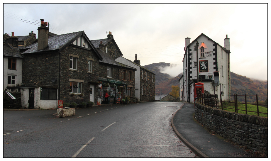
I was fortunate to arrive sufficiently early to get one of the few free parking spaces in Patterdale.
Click here to see a map of the route undertakenFrom Patterdale, I walked a short distance along the A592 before turning left along the minor road leading to Rooking.
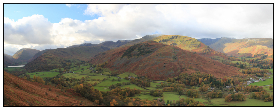
Patterdale:
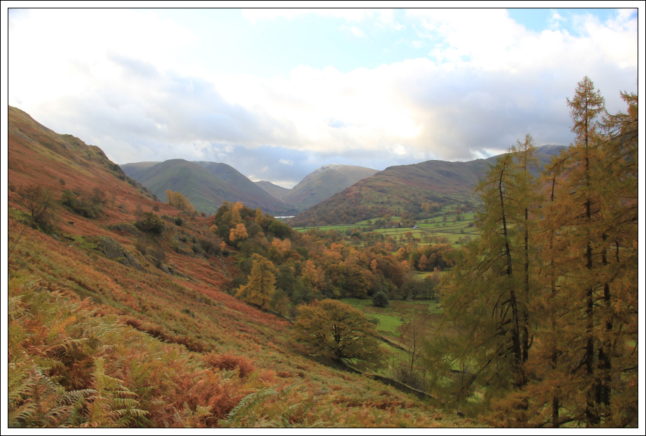
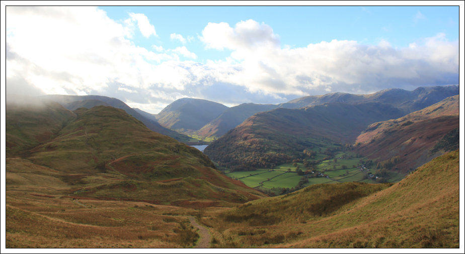
Place Fell from Patterdale:

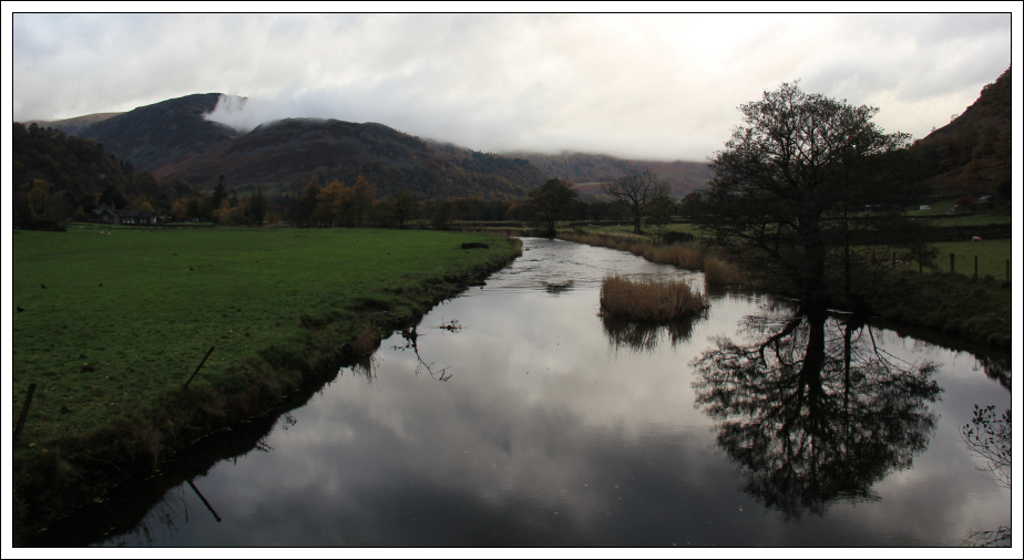
I stopped on the bridge over the Goldrill Beck to take a photo of Goldrill Beck.
Goldrill Beck:
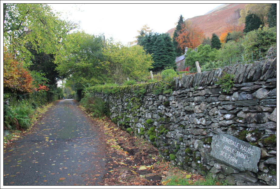
On reaching Rooking, I followed various signage directing towards Boredale Hause.
Sign directing towards Boredale Hause:
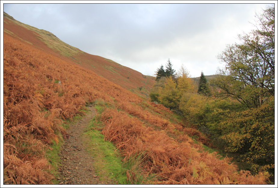
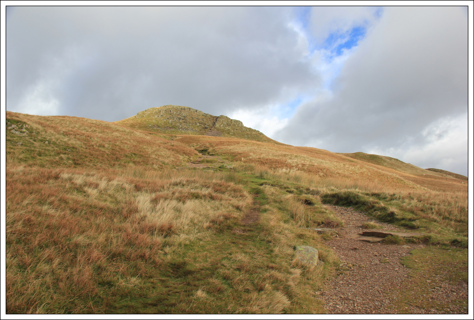
The path slanting diagonally up to Boredale Hause was excellent – a nice gradient, not wide and eroded and not that visible from the A592.
Path leading to Boredale Hause:
I was pleased with the weather as it was much better than forecast.
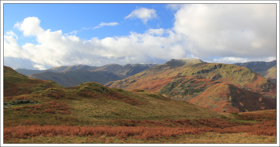
Looking towards Brothers Water:
As I made my way up towards Boredale Hause I could see a good number of people behind me on the path. I wondered if Place Fell was going to be busy today. As it turns out I didn’t see anyone else on Place Fell. Everyone ascending towards Boredale Hause subsequently went off towards Angletarn Pikes.
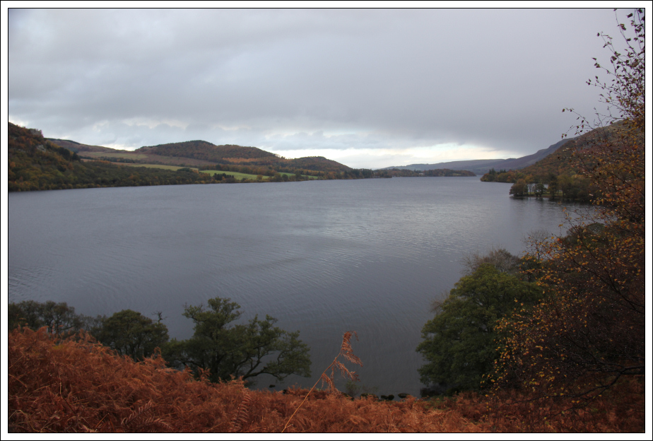
Looking back towards Glenridding and Ullswater:

Brothers Water to Patterdale:
From Boredale Hause, I thought I was looking towards the summit of Place Fell. What I was actually seeing was the top of Round How. Place Fell is a short distance beyond.
Looking towards the top of Round How:
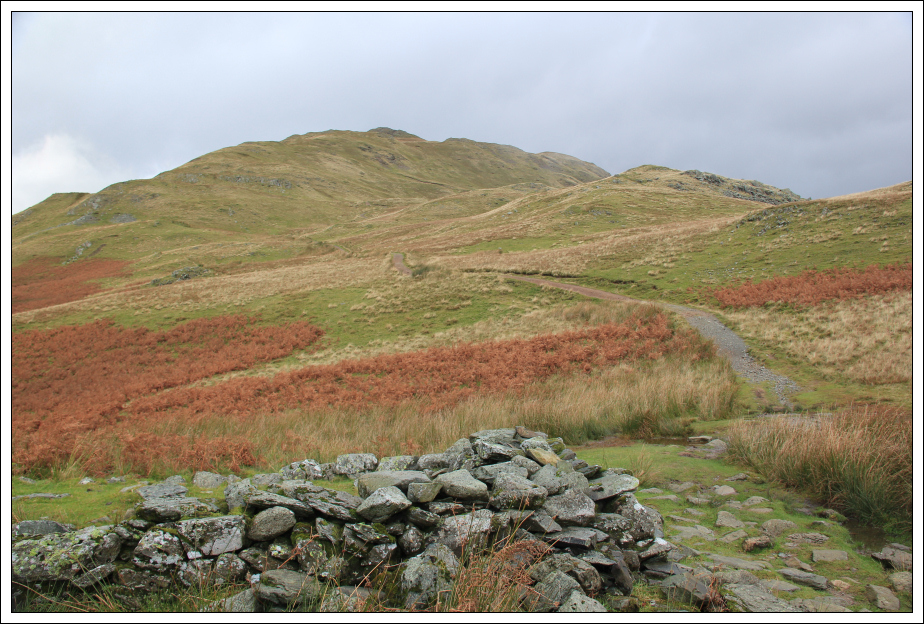
View from Boredale Hause:
Looking back during ascent of Round How:
Approaching the top of Round How:
By the time I reached the top of Round How I could see a bank of dark clouds approaching from the West. I guessed it wouldn’t be long before I ended up soaked.
Place Fell from top of Round How:
Glenridding from Round How:
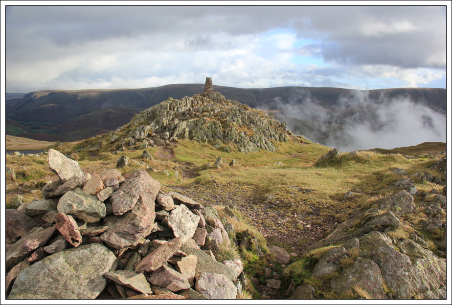
According to the Database of British Hills, the summit is a rock located 4m from the cairn. I visited the trig point, the cairn and this summit rock. The rocks below the trig point looked a good bit higher than the summit rock beside the cairn. I am not convinced the rock beside the cairn is the high-point.
At the cairn near the summit of Place Fell:
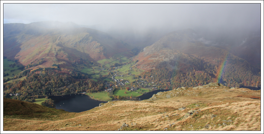
Section of Rainbow:
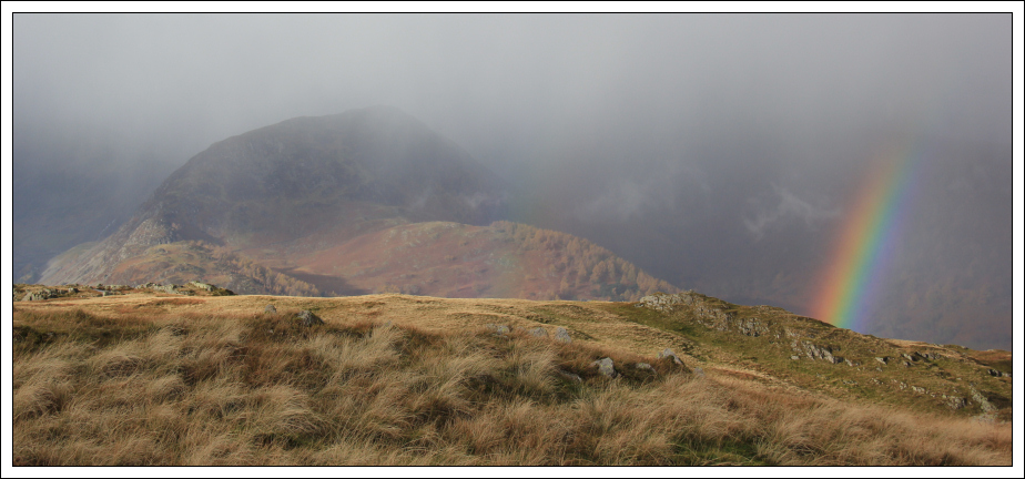
I didn’t hang around long at the summit. During the descent to the col, between Place Fell and High Dodd, I didn’t get soaked but did get bombarded with hailstones. The hailstones persisted for at least fifteen minutes.
As High Dodd was pretty-much en-route, I decided to also ascend to its top. I’m not sure why the likes of High Dodd doesn’t make it into the Wainwright list when the likes of Mungrisdale Common does.
High Dodd:
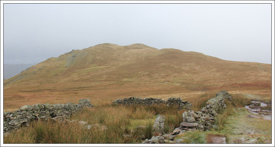
I visited both of the tops of High Dodd before making up a route to meet the path without having to back-track.
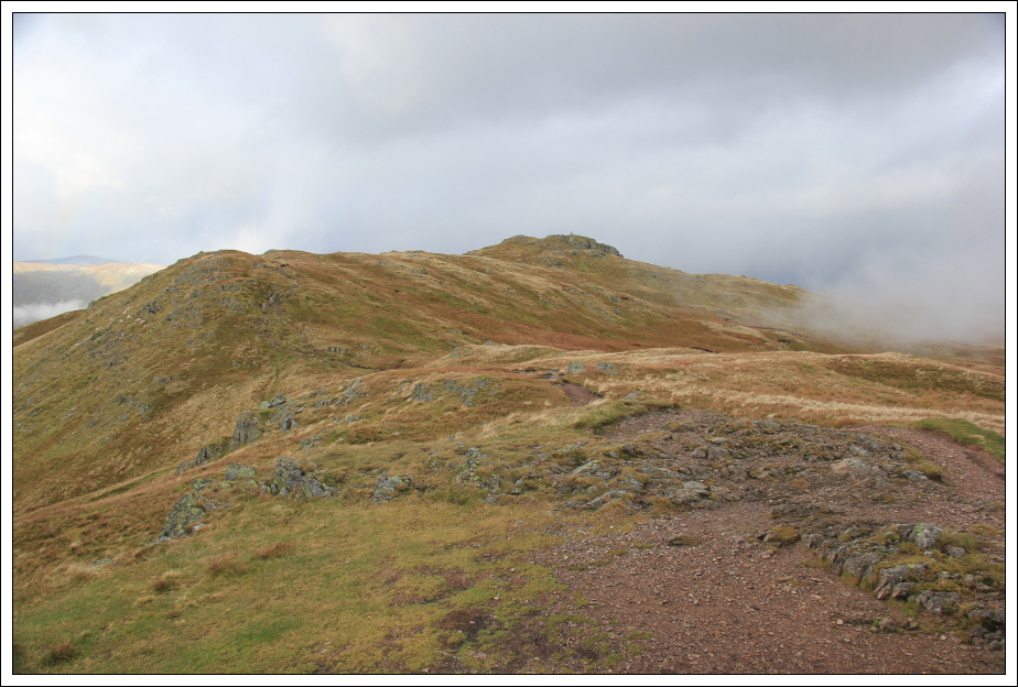
Looking back towards the twin tops of High Dodd:
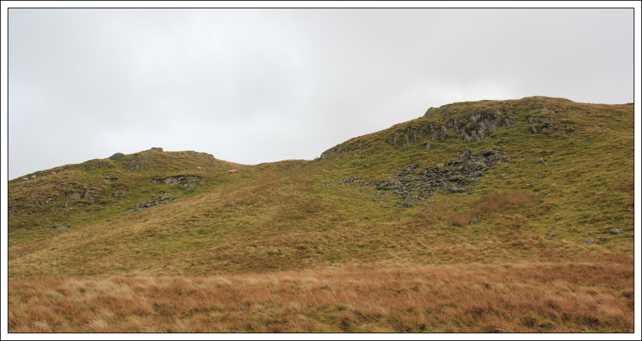
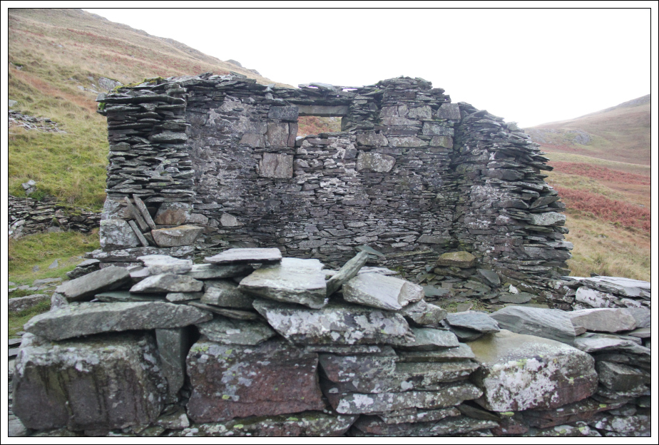
I regained the path at a small ruin.
Ruin below High Dodd:
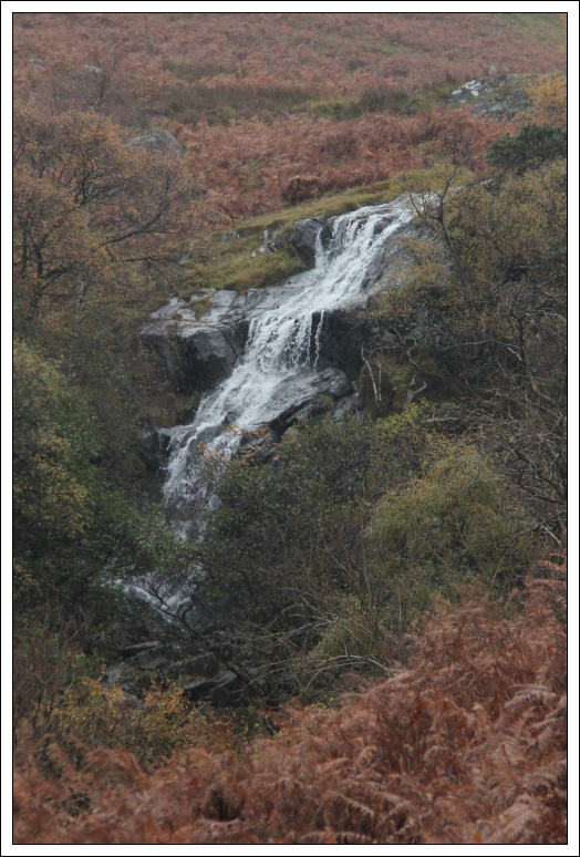
The descent to Ullswater was straight-forward. I was looking forward to seeing Scalehow Force during the descent.
Descent to Ullswater:

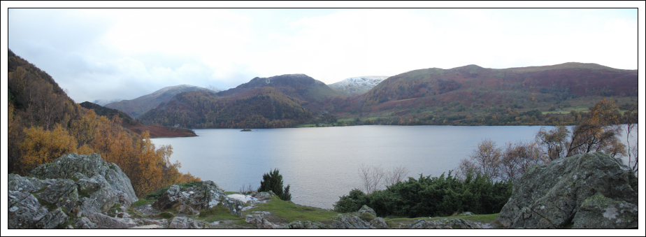
Ullswater:
During the descent, I could see the top of Scalehow Force but didn’t see the waterfall until reaching the low-level track at the base.
Ullswater and top of Scalehow Force:
Scalehow Force (zoom):
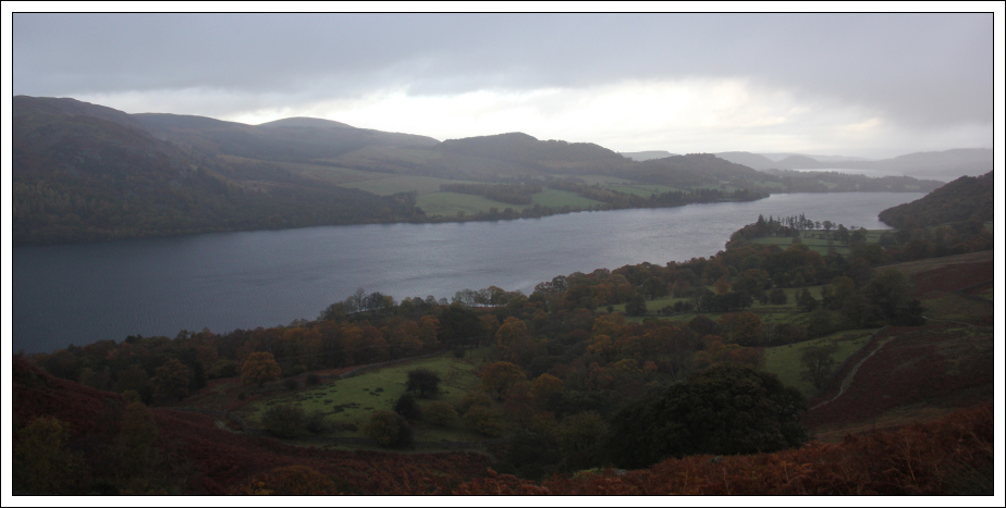
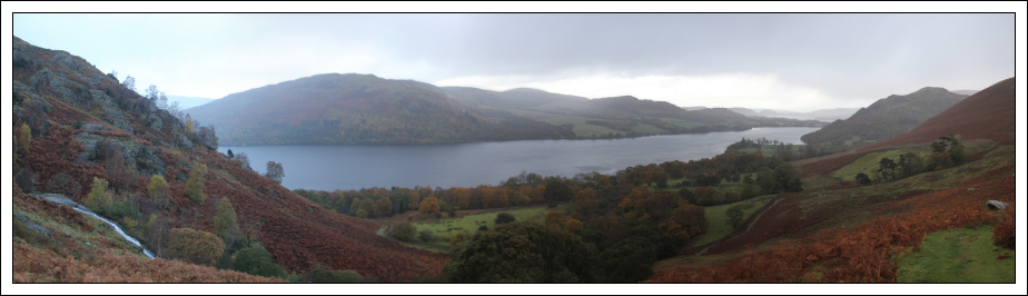
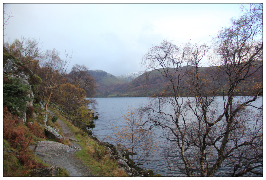
The track skirting round the base of Place Fell, alongside Ullswater, provides excellent views of Ullswater. Although it is a low-level track there is quite a lot of ascent and descent.
I encountered a good number of people on this low-level path including a number on mountain bikes.
Ullswater:
Heading back towards Patterdale:
I got fairly wet during the walk back as the rain was fairly constant.
Ullswater:
Looking across to Glenridding:
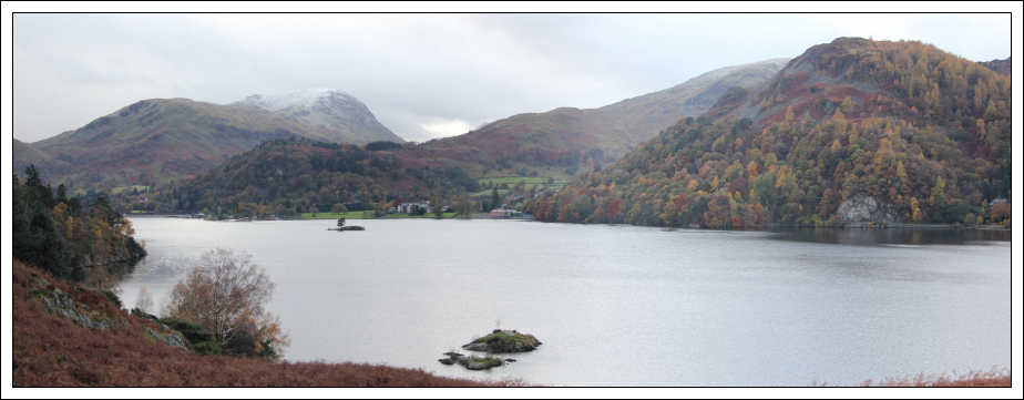
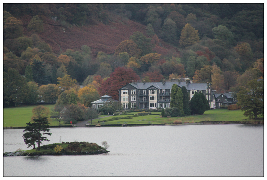
Glenridding Inn on the Lake hotel (zoom):
I really enjoyed this walk despite the hail and rain. I think it was a good decision to do a Far-Eastern fell as I got as far as the summit before encountering the bad weather.
