free to be able to rate and comment on reports (as well as access 1:25000 mapping).
With our North Western fells bagging map all blue save for one annoying red balloon it was time to complete the book. We did a very similar route to this around five years back but as Hughie was merely a twinkle in his fathers black beady eye these where conveniently some more catch up fells for our beloved canine. With only Saturday available for a walk the forecast looked very grim at the middle of the week but a glimmer of possibility started to emerge for a better afternoon so we had some extra time in bed and headed over bit later than usual.
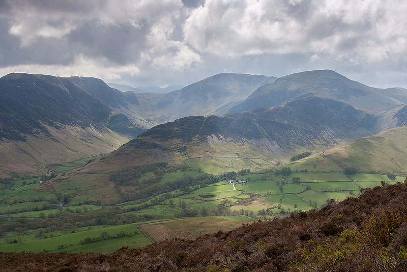
When we first approached the Lakes it was drizzly and grey but by the time we had parked up and got suited and booted the clouds where rapidly parting to give way to a fantastic afternoon that was just about perfect for walking

We must have been one of a very select group of walkers who set out for the day with Sail as there prime objective but as this was the one top in these fells that had eluded us so be it.
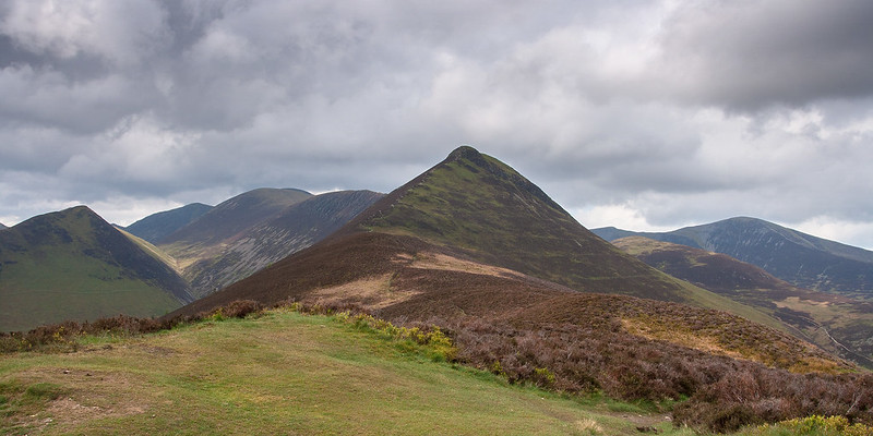
It was hardly a hardship to climb Causey Pike again as the route up Rowling end and then up the final (apparent) pyramid is hill walking heaven with some entertaining little scrambles interspersed with wonderful views and easy strolling along the ridge.
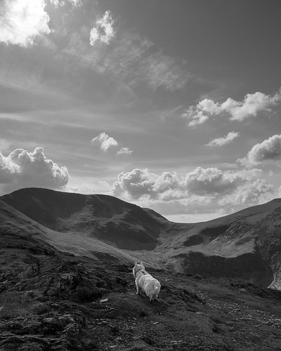
 Ride On
 by
johnkaysleftleg, on Flickr
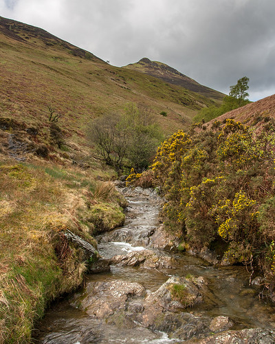 Stonycroft Gill
 by
johnkaysleftleg, on Flickr
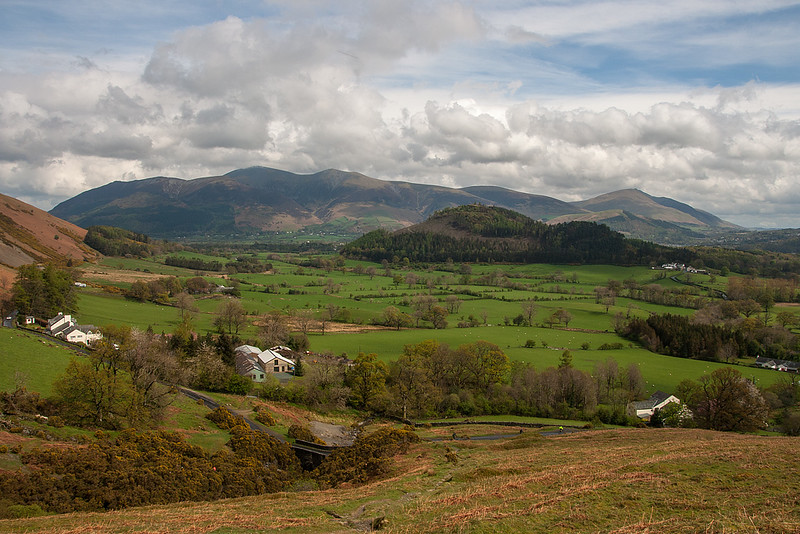 The Sun is coming out!
 by
johnkaysleftleg, on Flickr
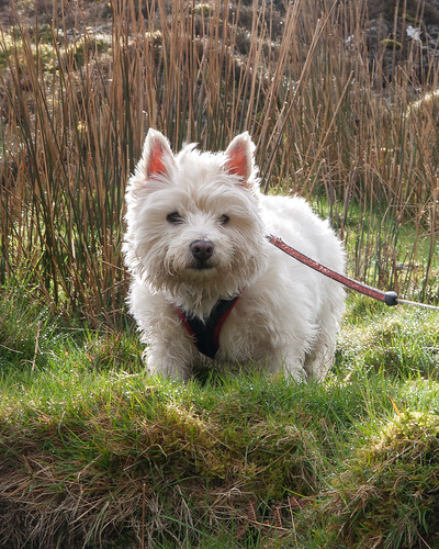 Who's that on my fell?
 by
johnkaysleftleg, on Flickr
 Cat Bells
 by
johnkaysleftleg, on Flickr
 Newlands
 by
johnkaysleftleg, on Flickr
 Causey Pike
 by
johnkaysleftleg, on Flickr
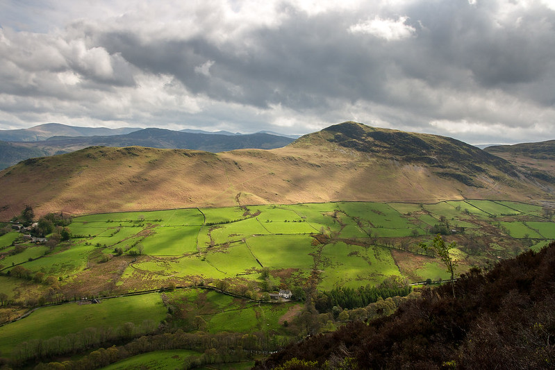
 Towards Dale Head
 by
johnkaysleftleg, on Flickr
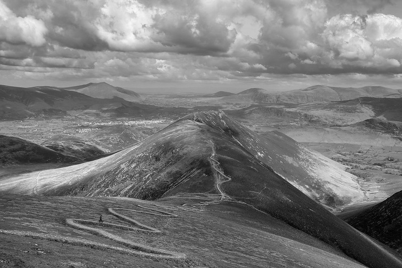
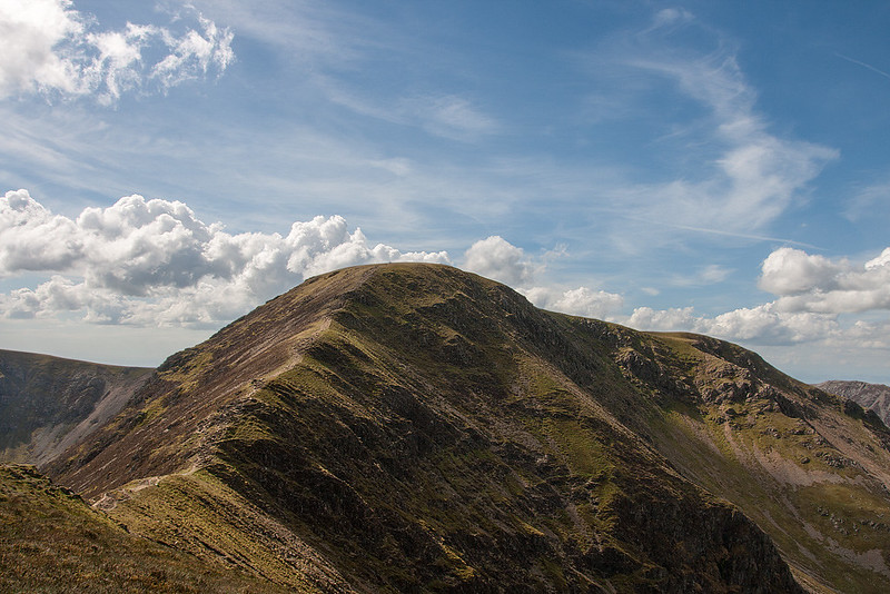
Causey Pike is of course not a Pyramid but the distinctive end of a undulating ridge that heads east from Crag Hill's summit plateau. Next in line is the very aptly named Scar Crags before
The Path comes into full view.
 Causey Pike View
 by
johnkaysleftleg, on Flickr
 West from Causey Pike
 by
johnkaysleftleg, on Flickr
 Scar Crags
 by
johnkaysleftleg, on Flickr
 Hughie bagging Scar Crags
 by
johnkaysleftleg, on Flickr
I've said before how I'm not a great fan of this path, to me it is simply an eyesore resembling a misguided public work of art more than a route up a hill. That said, it is well graded and OK to walk on and in reality has transformed Sail from an innocuous dull hill with an ugly scar up its side to an innocuous dull hill with an ugly path up it's side.


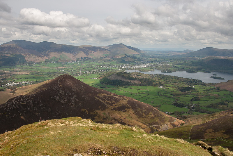
We celebrated our knocking off of volume six with Coffee and hot chocolate taking in Sails admittedly fine summit panoramas on what had become a stunningly beautiful afternoon. I was tempted by continuing upwards and onwards but with Outerside still to be bagged for Hughie and somewhat less enthusiasm from wife and particularly daughter, we retraced our steps back to the Sail pass.
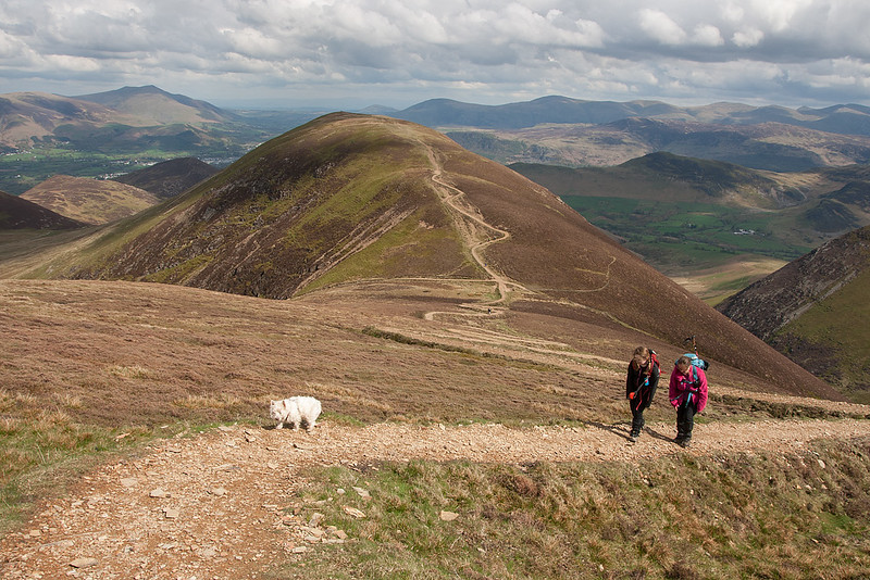 Toiling up the Sail path
 by
johnkaysleftleg, on Flickr
 That path
 by
johnkaysleftleg, on Flickr
 Sail Summit
 by
johnkaysleftleg, on Flickr
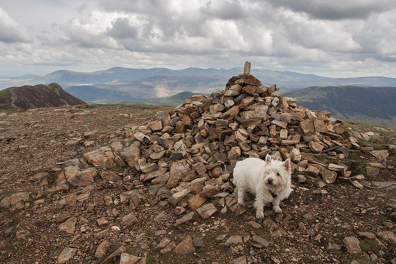
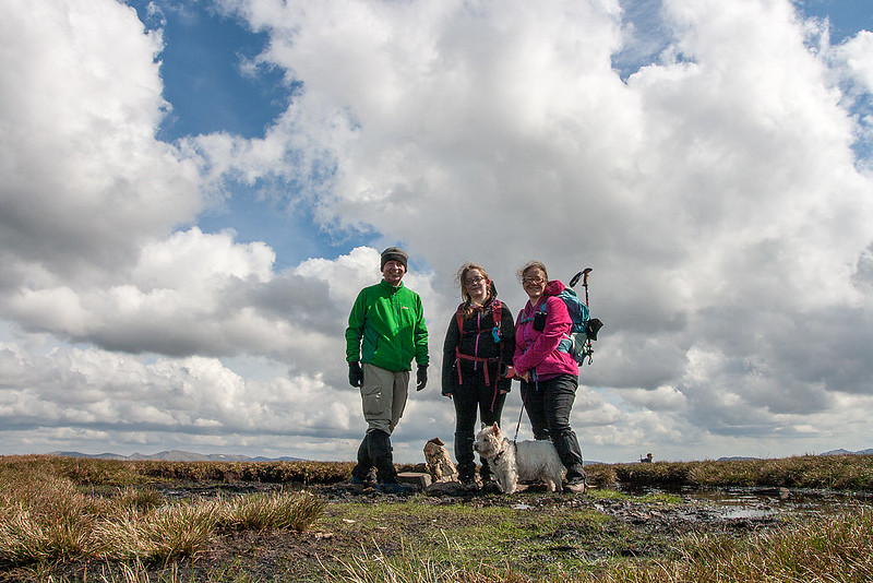 North Western Fells Completed
 by
johnkaysleftleg, on Flickr
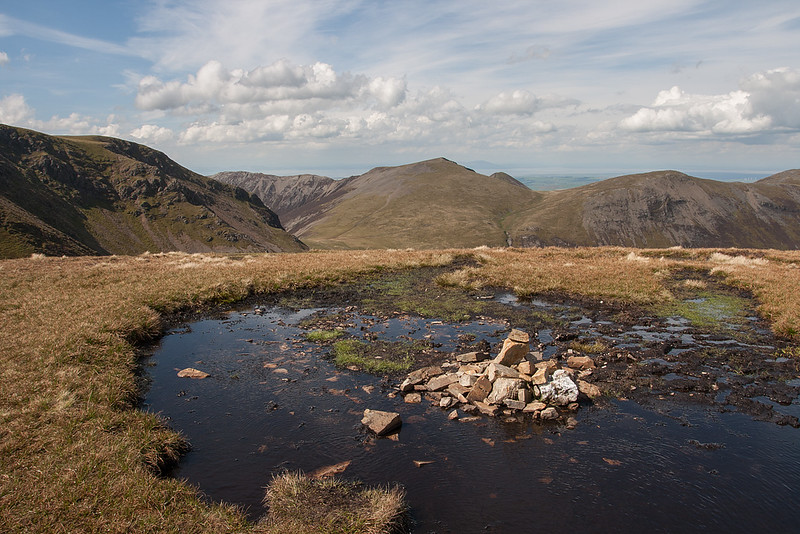
 Ell Crags
 by
johnkaysleftleg, on Flickr
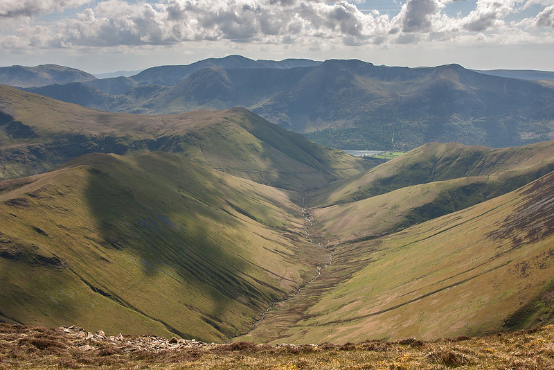 Looking towards the High Stile Ridge
 by
johnkaysleftleg, on Flickr
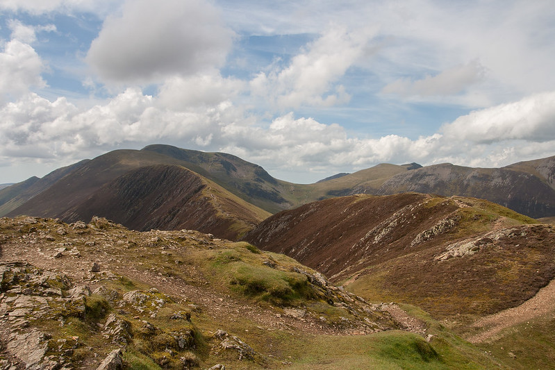
With Grace and Nicola enjoying a leisurely stroll back to the car along the old miners track me and Hughie scarpered off up Outerside, another Hughie catch up fell, thus completing our very own mountain dogs round of the North West fells. We continued along to Stile end, dropping back down to the miners track via Barrow door before meeting Nicola and Grace back at the car. We had a nice meal at the White Horse at Scales to celebrate finishing our first book and what had been a brilliant day.
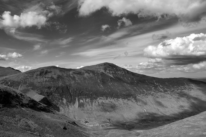 Grisedale Pike
 by
johnkaysleftleg, on Flickr
 View from Outerside
 by
johnkaysleftleg, on Flickr
 Hughie on Outerside
 by
johnkaysleftleg, on Flickr
AW described the North Western fells and the
"most delectable" and it's hard to disagree. The profusion of wonderful ridges, fantastic views and lofty summits, combined with valleys such as Newlands and Rannerdale makes for a perfect combination. What a stunning corner of the world.
