free to be able to rate and comment on reports (as well as access 1:25000 mapping).
I'd been watching the weather forecast all week with a few scattered hills in mind depending on the conditions. By Friday night it looked like Skye on Saturday (pah!) would be the best bet so decided on Glamaig. From my house Glamaig and Bla Bheinn visually form the north and south ends of the Cuillin and due to perspective they look equally high. I have already been up Blà Bheinn so it was Glamaig's turn.
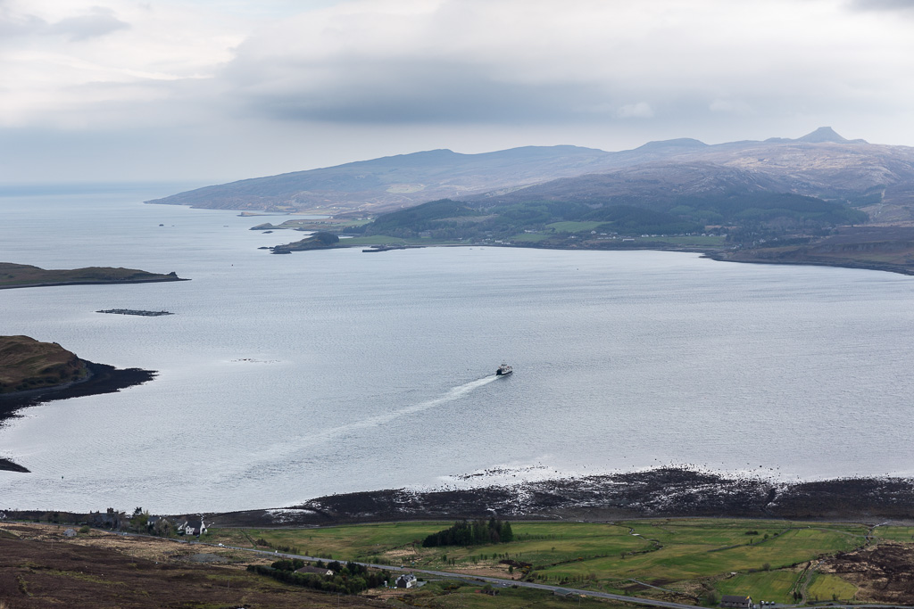
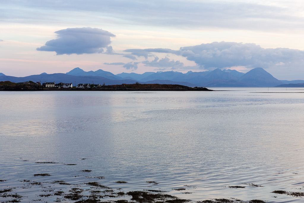
This is what I see from my house - Glamaig bang in the centre (taken the day after my visit).
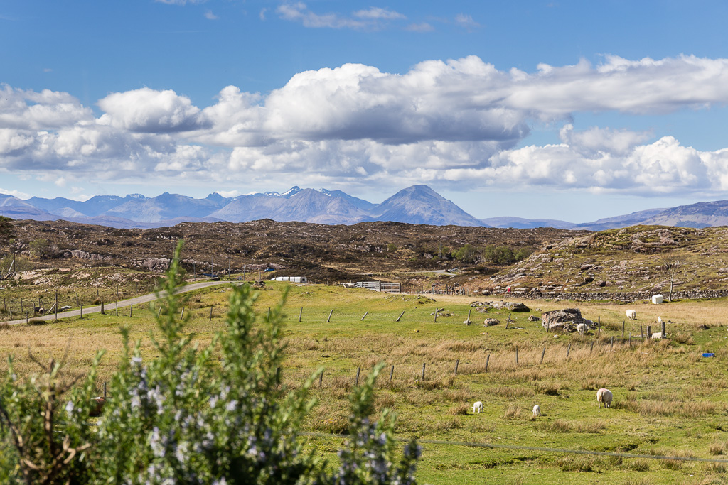 Glamaig from my Kitchen
 by
anniesmountains, on Flickr
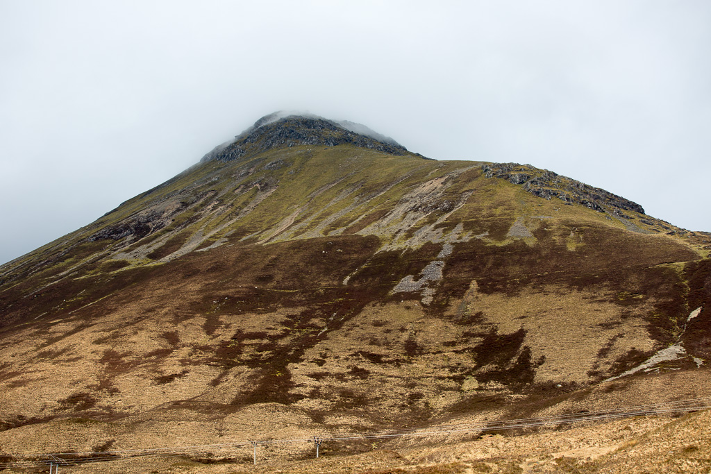
The morning didn't look too promising with low cloud all around and not much of Glamaig showing.
 Glamaig 2014.04.26
 by
anniesmountains, on Flickr
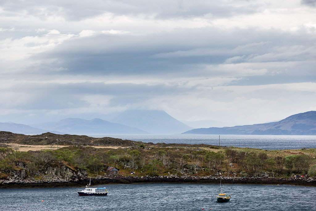
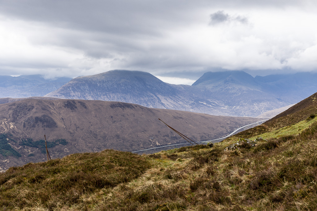
It's only about 12 miles as the crow flies from Applecross to Skye, but a long drive round (60 plus miles each way). Looking across Lochcarron.
 Glamaig 2014.04.26-2
 by
anniesmountains, on Flickr
I had planned to go up to the summit from the Sconser side via An Coileach (following Black Panther's instructions, thanks!) and returning down the scree slope to Bealach na Sgairde and thence round the base of the hill back to the bridge and my car.
Arriving at my start point the hill was still shrouded in mist - The Misty Isle indeed.
 Glamaig 2014.04.26-3
 by
anniesmountains, on Flickr
I thought the ground around the gate would have dried out a bit and, as the fence is topped with barbed wire, decided it was the best way to get out on the hill. I'm not sure if there was a best way, but this certainly was not it

I sank up to my ankles in a mixture of wet mud and cow poo

. However, I had dry socks with me so thought I'd change them when I got up the hill a bit and stopped for breakfast.
I went straight up to the right of the lower crags and met up with the fence posts (thanks again BP, you are a great guide) - it's a bit of a slog but not too bad. (I'm in training for Beinn Sgrithall!) The views were still great so I stopped for breakfast. I had totally forgotten by my wet sock by this time.
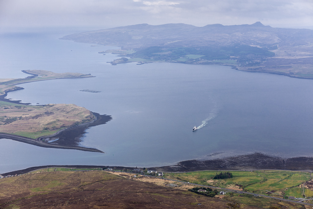
The Raasay ferry heading out of Sconser.
 Glamaig 2014.04.26-4
 by
anniesmountains, on Flickr
Glas Bheinn Mhòr and Belig both cloud covered. The fence posts act as way-markers from now on.
 Glamaig 2014.04.26-5
 by
anniesmountains, on Flickr
I'm still dawdling around hoping for the cloud base to lift and here comes the ferry on its return trip
 Glamaig 2014.04.26-6
 by
anniesmountains, on Flickr
Decision time.
 Glamaig 2014.04.26-7
 by
anniesmountains, on Flickr
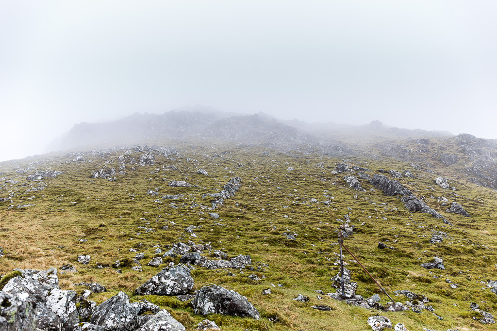
Well, I wouldn't be writing this if I hadn't decided to carry on. I thought I'd just go up to the first top and see how things were. No more photos for a while as there was nothing to see but a fine (not too thick) mist. I even forgot to take a photo of the wee cairn at the top of An Coileach. Needless to say I carried on to the summit of Sgùrr Mhairi. There really isn't much to report except that the mist had made the rocks slippery so I had to be pretty careful at the scrambly bits. I did choose to scramble rather than go up the scree sections.
Here's the summit cairn.
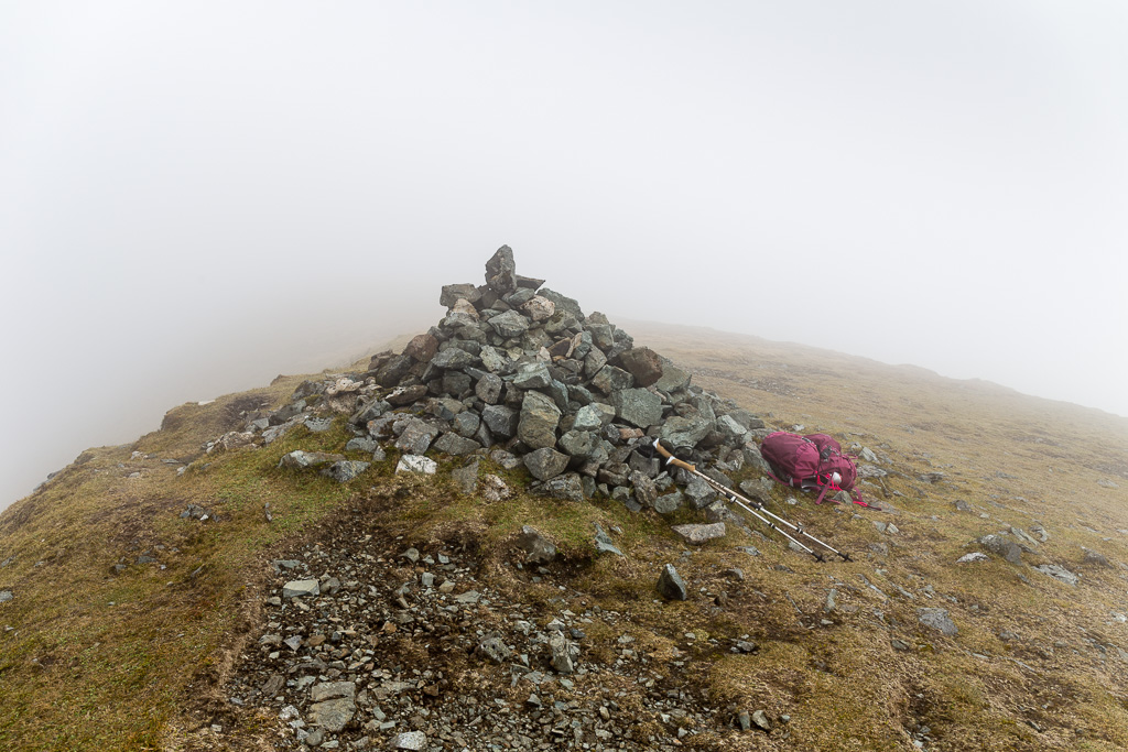 Glamaig 2014.04.26-8
 by
anniesmountains, on Flickr
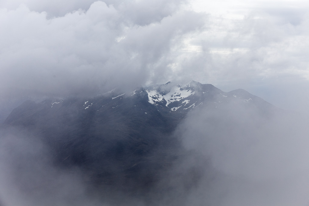
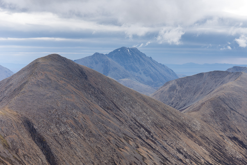
I was so disappointed and just determined that I would have to come back on a good day to get the views. I see this hill every day of my life (well, when it's not cloud covered!) and I really, really wanted to see the reverse view and see if I could spot my house from up here. I was just chewing on my apple and contemplating a return by the same route for safety's sake when I thought I spied a ghostly vision out of the mist. It took a split second for me to realize that I was staring Sgùrr nan Gillean in the face. It's much closer than you expect. My heart leapt and I grabbed the camera just in case it was a momentary break in the clouds.
 Glamaig 2014.04.26-9
 by
anniesmountains, on Flickr
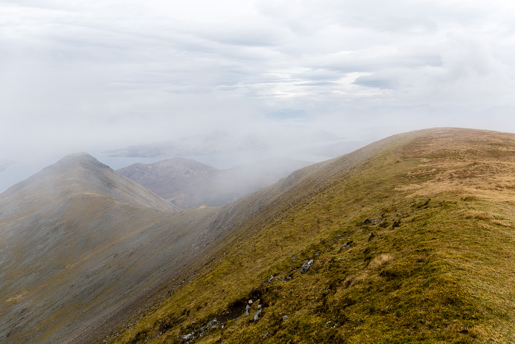
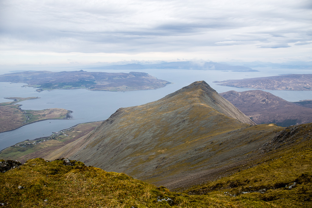
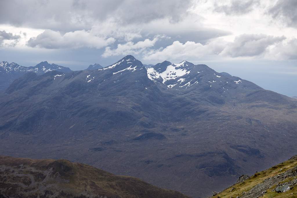
I then turned around and couldn't believe what I was seeing. I saw this spidean ahead of me and it took a moment for me to realize it was where I had come from - this was my hill and I had been there
What a lovely ridge walk I had missed! And I really do mean 'missed' as I was just putting one foot after the other with not much knowledge of the beauty of my surroundings.
 Glamaig 2014.04.26-10
 by
anniesmountains, on Flickr
I didn't know if this cloud-swirled beauty was going to last so I ran around the summit plateau like a crazy person snapping away.
Glen Sligachan.
 Glamaig 2014.04.26-11
 by
anniesmountains, on Flickr
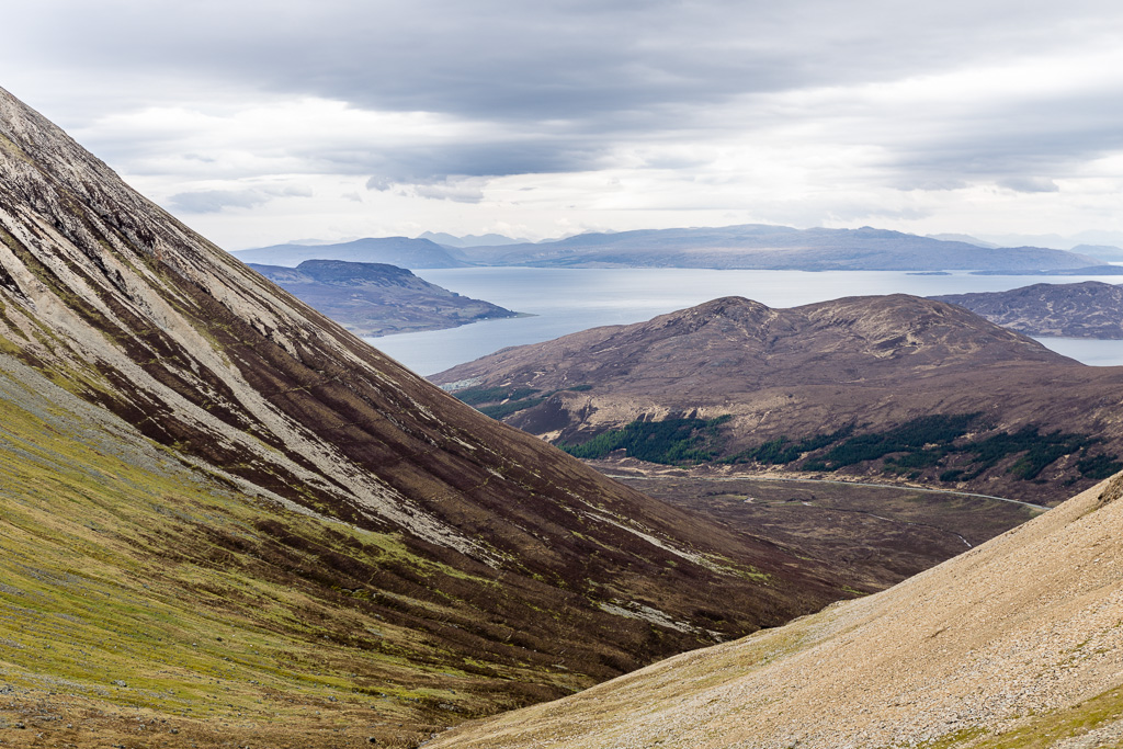
Sconser, Raasay and the mainland.
 Glamaig 2014.04.26-12
 by
anniesmountains, on Flickr
The cloud base was slowly lifting.
 Glamaig 2014.04.26-13
 by
anniesmountains, on Flickr
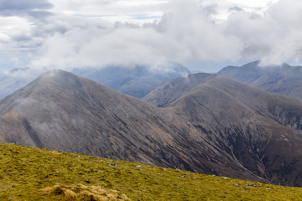
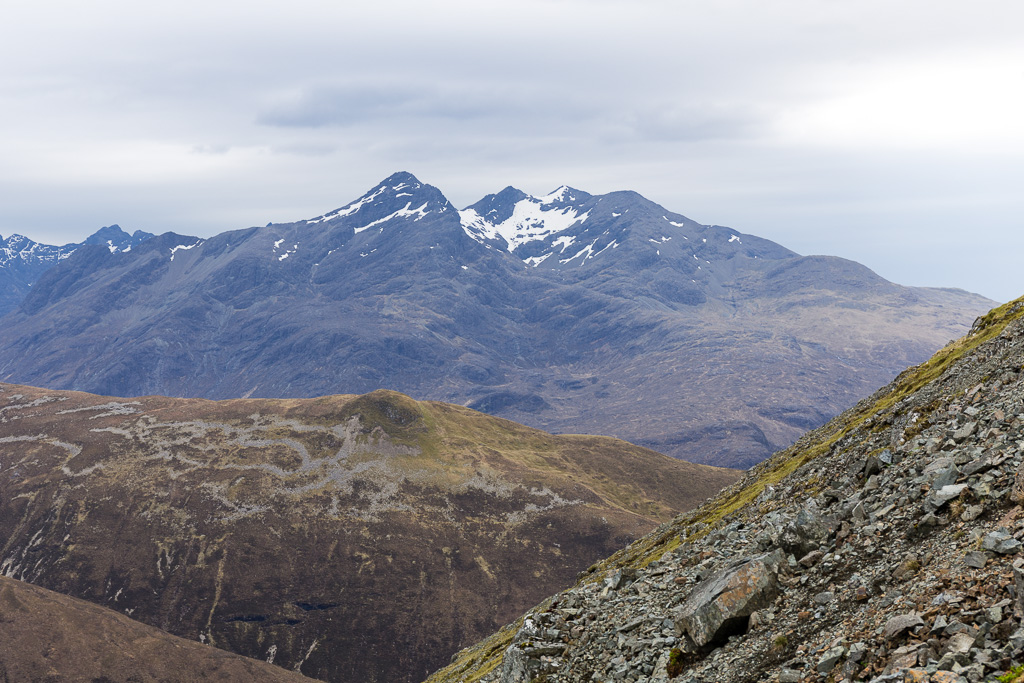
The sweep of the Deargs ridge, Marso on the right. No sight of Bla Bheinn yet!
 Glamaig 2014.04.26-14
 by
anniesmountains, on Flickr
The glens below me were totally clear of mist by now so I decided to revert to Plan A and descend the south face to Bealach na Sgairde. Starting the descent.
 Glamaig 2014.04.26-15
 by
anniesmountains, on Flickr
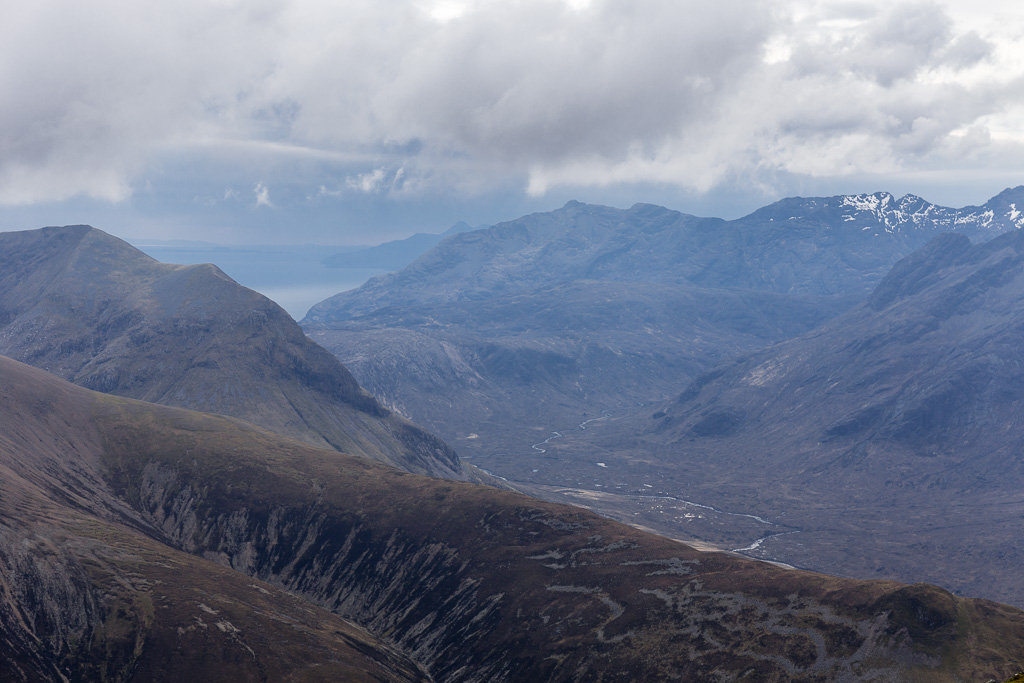
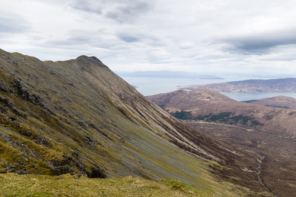
The south section of the main Cuillin ridge and Harta Corrie. The ridge in the foreground is Druim na Ruaige and is a possible approach (or descent) to Beinn Dearg Mheadhonach. It looks like a great walk after the scree!
 Glamaig 2014.04.26-16
 by
anniesmountains, on Flickr
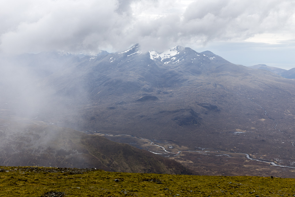
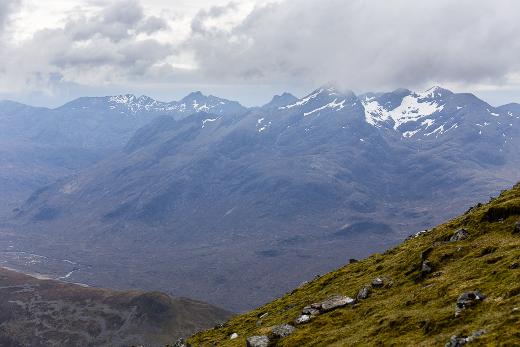
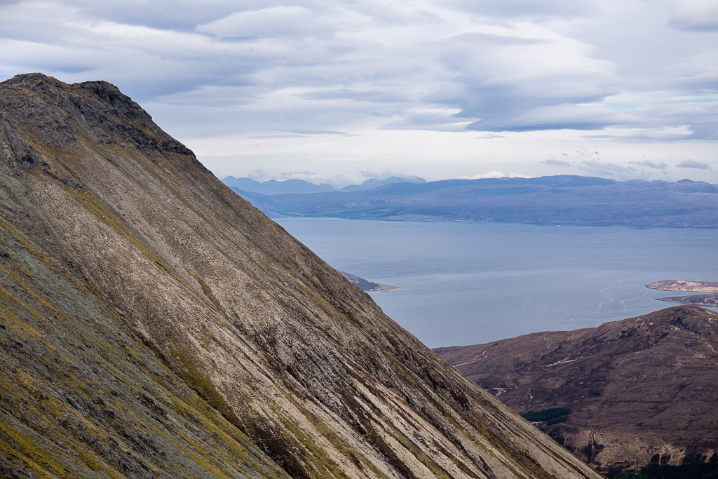
Ah, Garbh-bheinn and Bla Bheinn emerging from the mists (behind the Deargs).
 Glamaig 2014.04.26-17
 by
anniesmountains, on Flickr
Descending the scree now - took me ages but stopped many times - snap, snap, snap
 Glamaig 2014.04.26-18
 by
anniesmountains, on Flickr
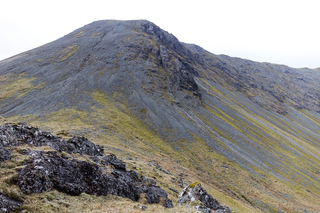
The ridge and the scree slopes of An Coileach.
 Glamaig 2014.04.26-19
 by
anniesmountains, on Flickr
Zoomed in and, yes, I can see my house! To the right of centre there is a small while blob (the white beach at Ardbain). Just behind that there is a row of houses -

. You can see the Torridon mountains to the left behind Applecross Bay.
 Glamaig 2014.04.26-20
 by
anniesmountains, on Flickr
One last look from the scree slope.
 Glamaig 2014.04.26-21
 by
anniesmountains, on Flickr
Eventually got down to the bealach and would loved to have had the energy to go up Beinn Dearg Mhor but that wasn't to be. I had my very late second lunch by the lovely stream and just absorbed my grand surroundings.
 Glamaig 2014.04.26-22
 by
anniesmountains, on Flickr
This is where I descended. There are crags on the right and I came down just to the left of them. At first I tried to avoid the scree by zig-zagging between mossy patches but this was a bit futile. I didn't really feel comfortable until I could see the final run down to the bealach - you just see short horizons in front of you with not much idea as to what lies over them! As there is no way to avoid the scree for the bottom third, I decided to go with it and started a bit of scree 'surfing' - it's much easier and faster than trying to stop yourself falling - and better for the old knees methinks. Actually I quite enjoyed it and it did speed my progress - a bit.
 Glamaig 2014.04.26-23
 by
anniesmountains, on Flickr
The allt and sheep clinging to the hillsides.
 Glamaig 2014.04.26-24
 by
anniesmountains, on Flickr
The descent now was easy. I followed the burn for a while and then made my way around and down the hill. I then had a problem as to how to get out to the road again. The burn near the road was not too high so I chose, if I was to get wet feet, to have nice clean water in my boots rather than cow pats
This was indeed a wise choice as the burn was low and a dawdle to cross. I then had the fence to contend with but praise be, at this section it is not covered with barbed wire. I went up towards the road and hopped over when there was a lull in the traffic! (Not a pretty sight
)
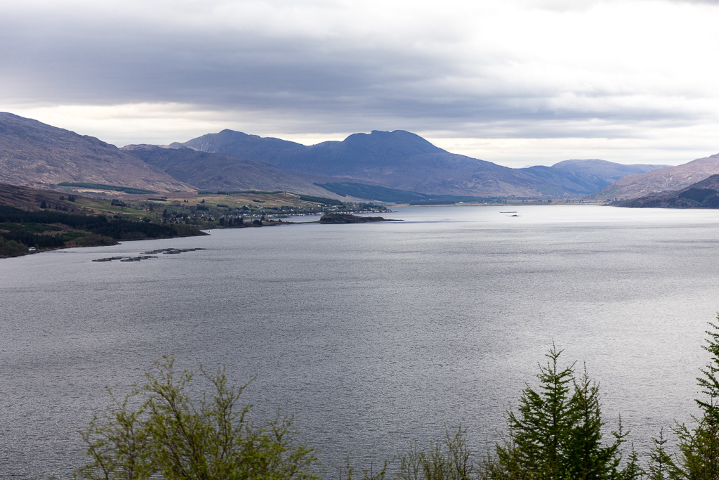
Fuar Tholl on the way home. (aka Wellington's Nose). On the left is Sgorr Ruadh.
 Glamaig 2014.04.26-25
 by
anniesmountains, on Flickr
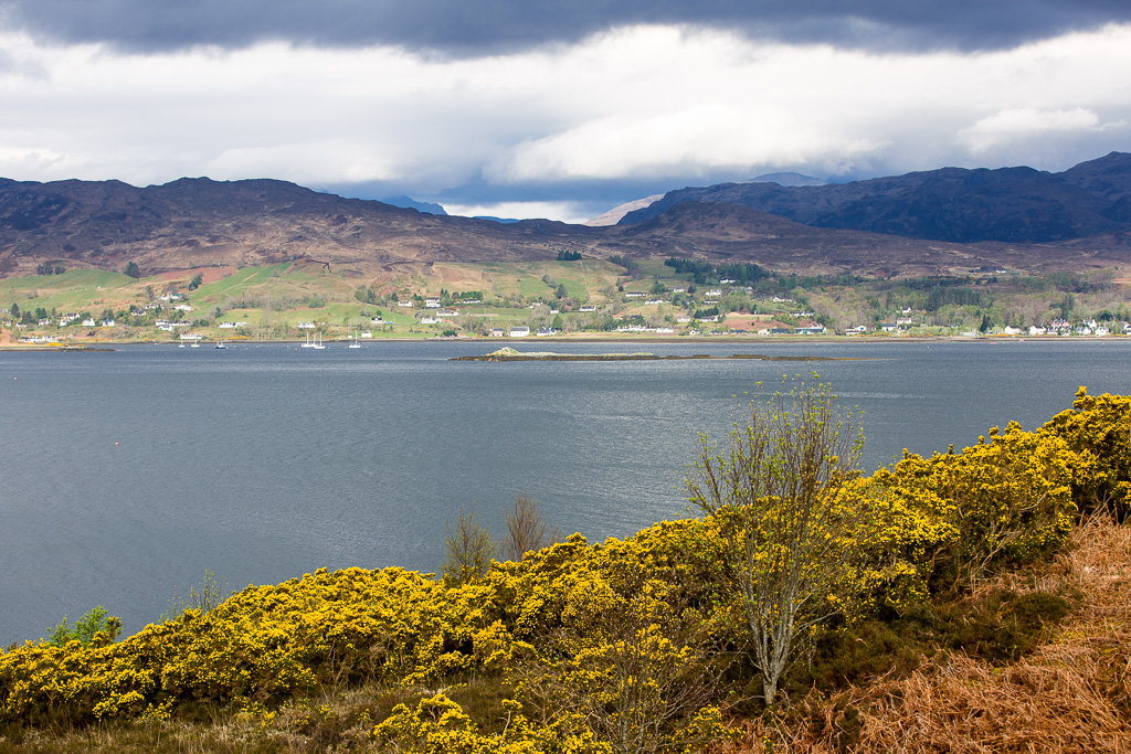
Back in Applecross, Glamaig (right) is still there and hopefully none the worse for entertaining her wayward visitor.
 Glamaig 2014.04.26-26
 by
anniesmountains, on Flickr
